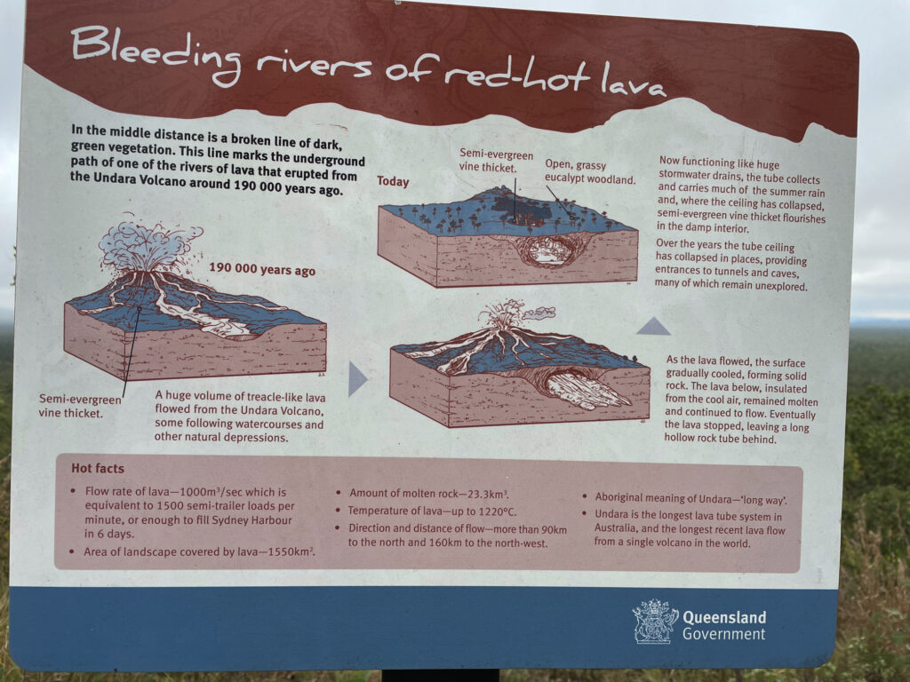
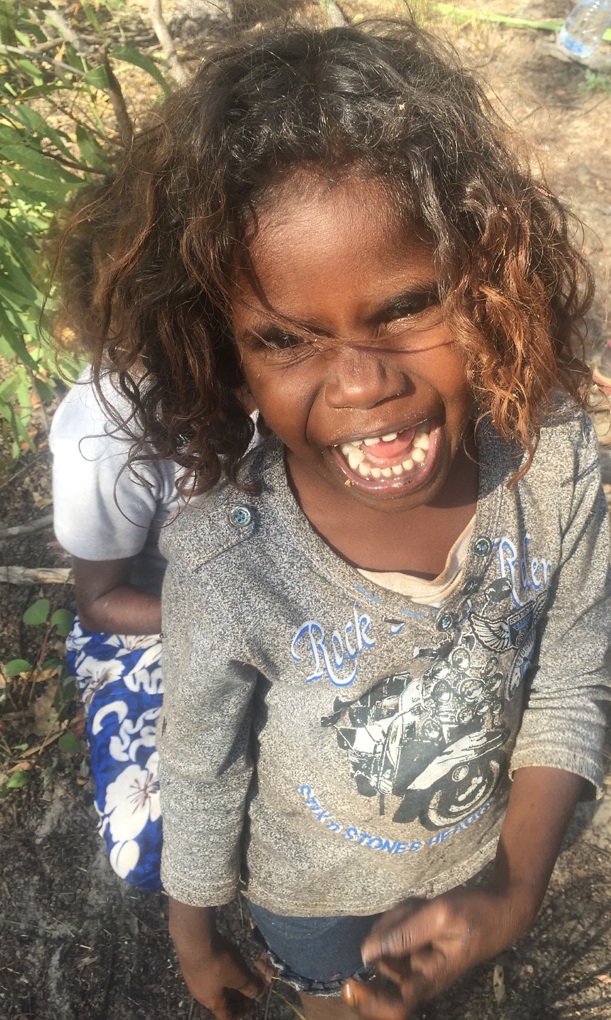
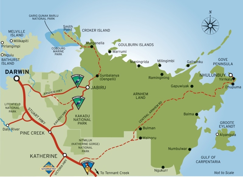
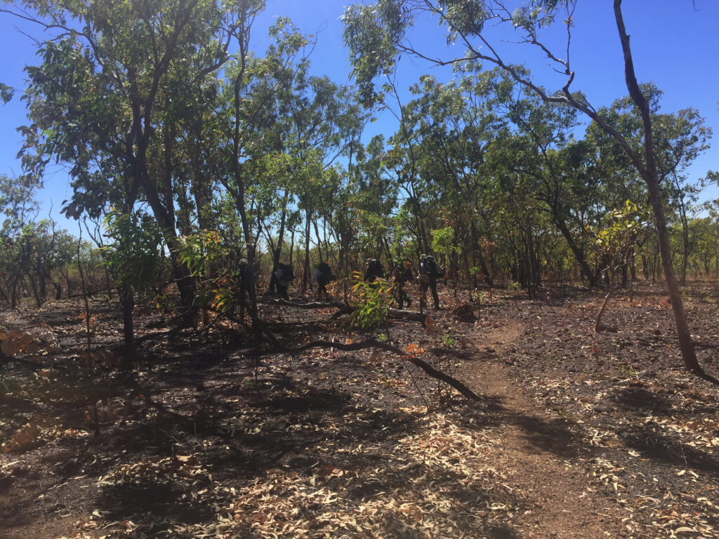
Our Arnhem Land travels continue having left the Cobourg Peninsula and now heading to East Arnhem Land.
Saturday 10th August, 2019
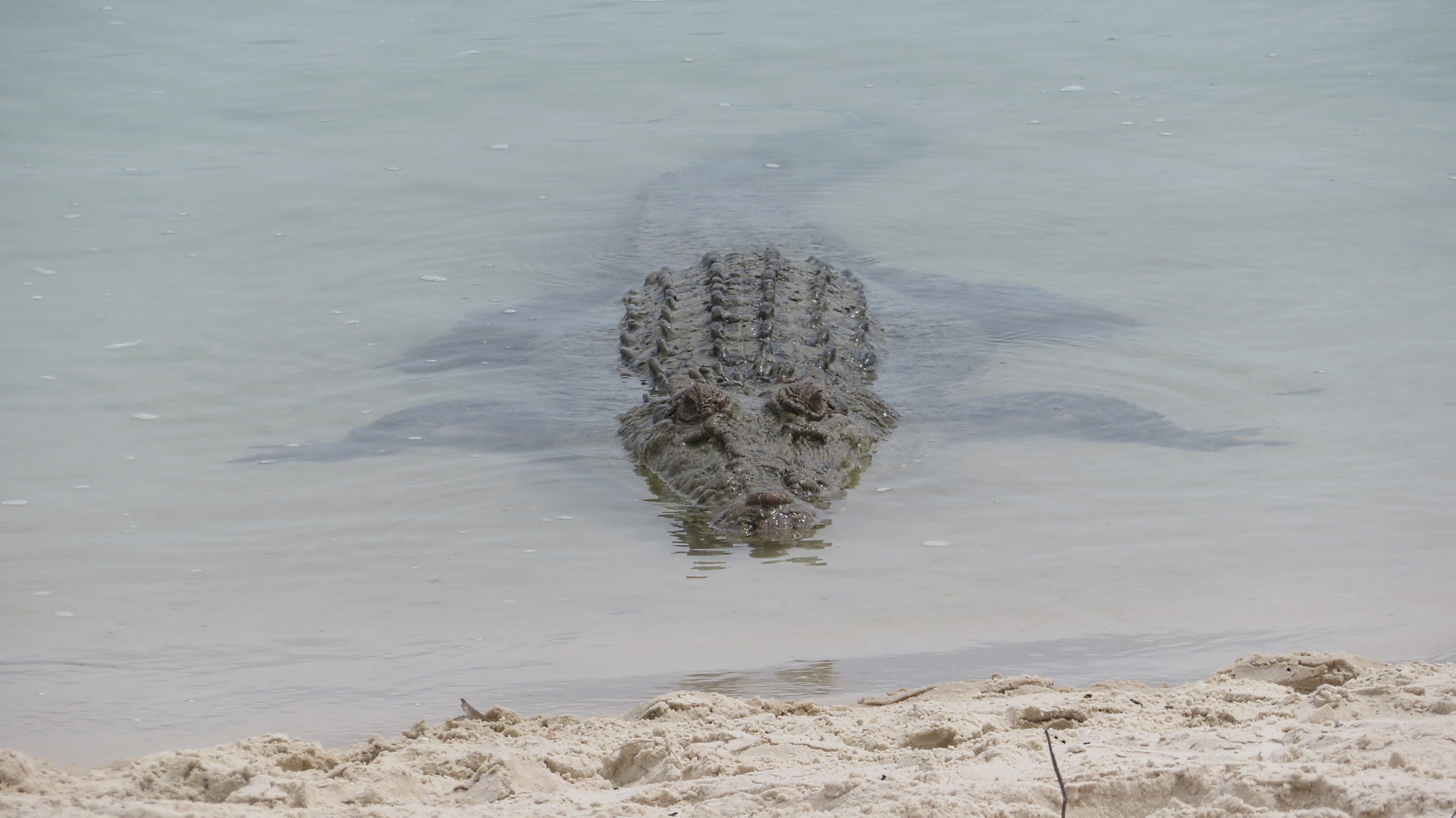
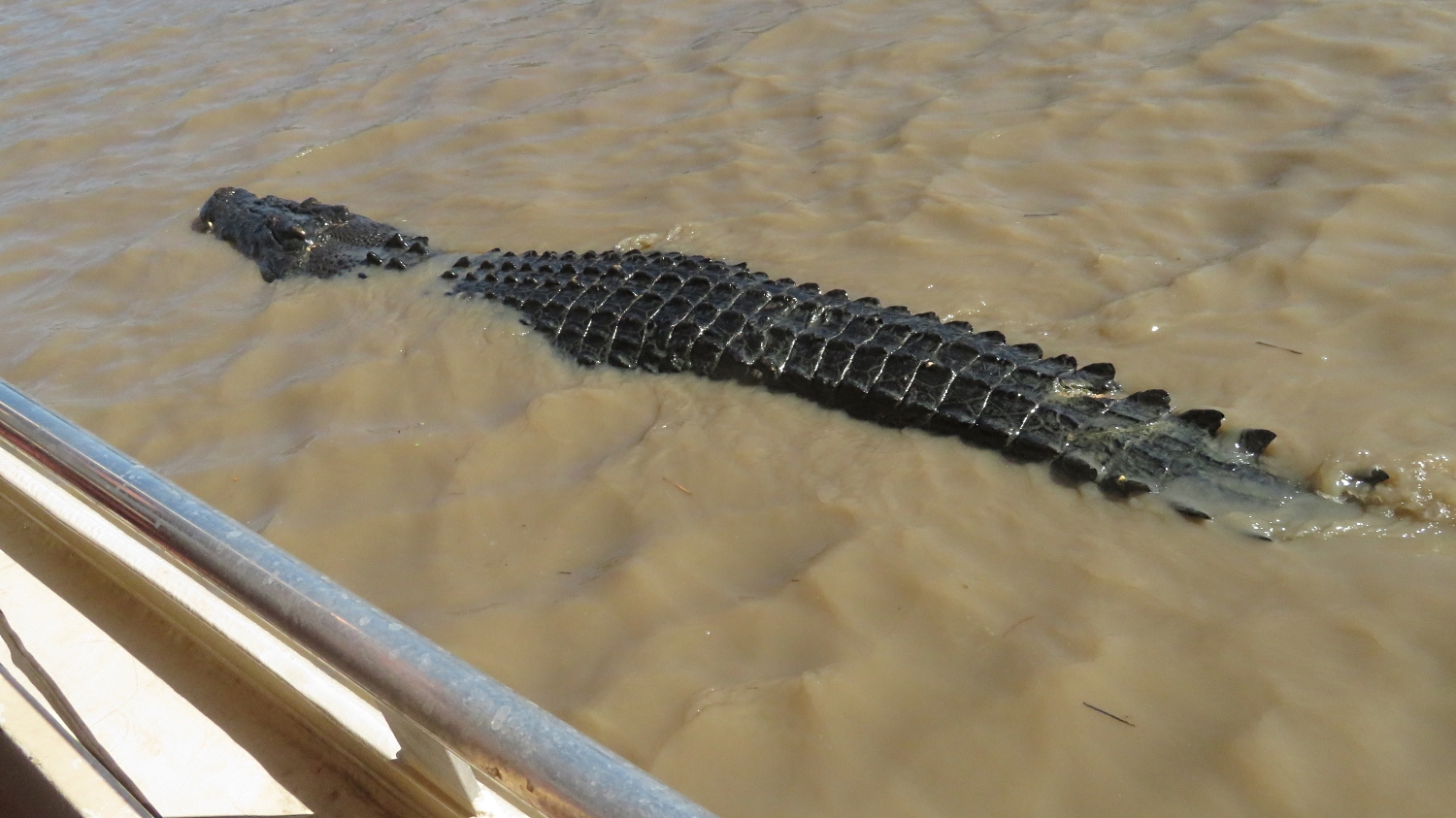
Another very full day today as we leave the caravan park just outside Kakadu and head a little further north along the Arnhem Highway to Adelaide River. The peaceful, picturesque Adelaide River’s claim to fame these days is the concentration of saltwater crocodiles (salties) that call it home. No trip to northern Australia would be considered complete if you didn’t see a saltwater croc, and this trip was not going to fall short on that score. Crocodiles were at risk of extinction before a hunting ban in the 1970’s saved them. It’s estimated there are around 150,000 salties and 100,000 ‘freshies’ (fresh water crocs) in northern Australia today – that means there’s nearly as many crocs as people – a sobering thought. Their habitat, ie fresh or salt water, has nothing to do with their name and they coexist happily in either. Salties can grow up to 10 metres in length and are aggressive in hunting their prey, of which humans are merely tasty morsels.
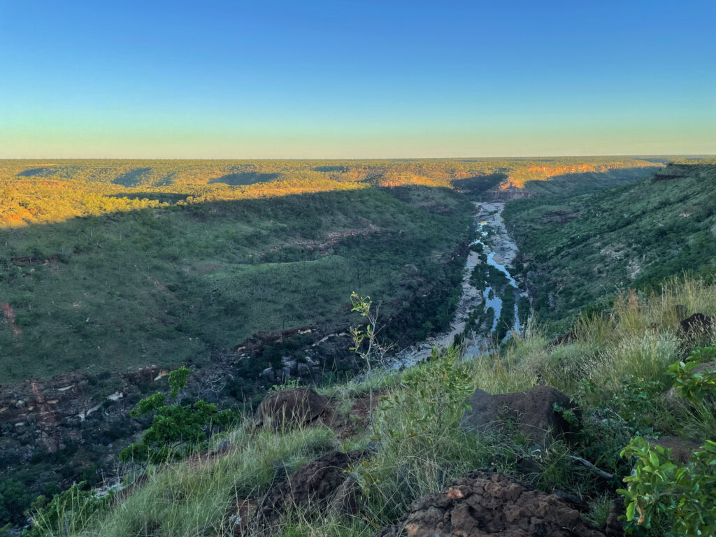
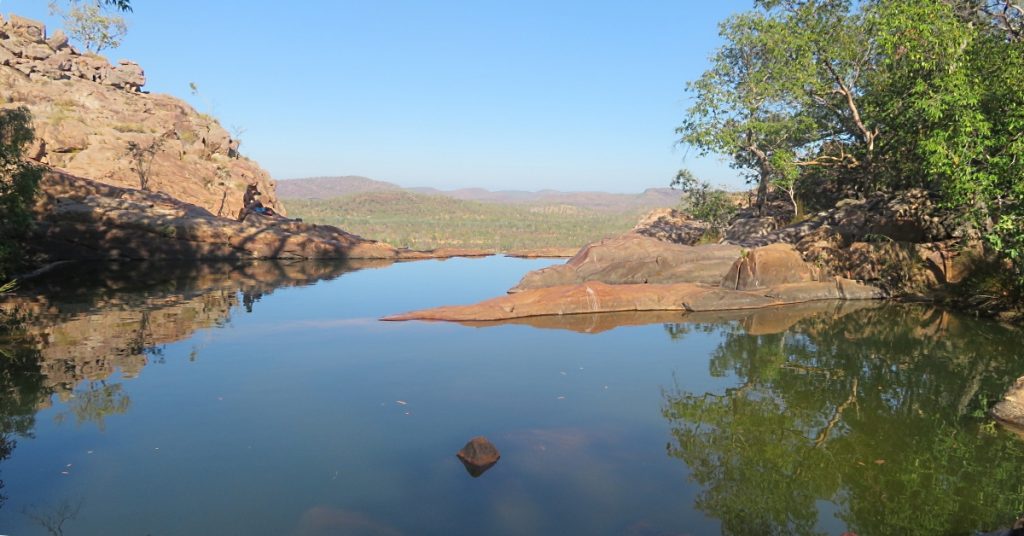
Idyllic day. Inviting river … but not for swimming! Adelaide River
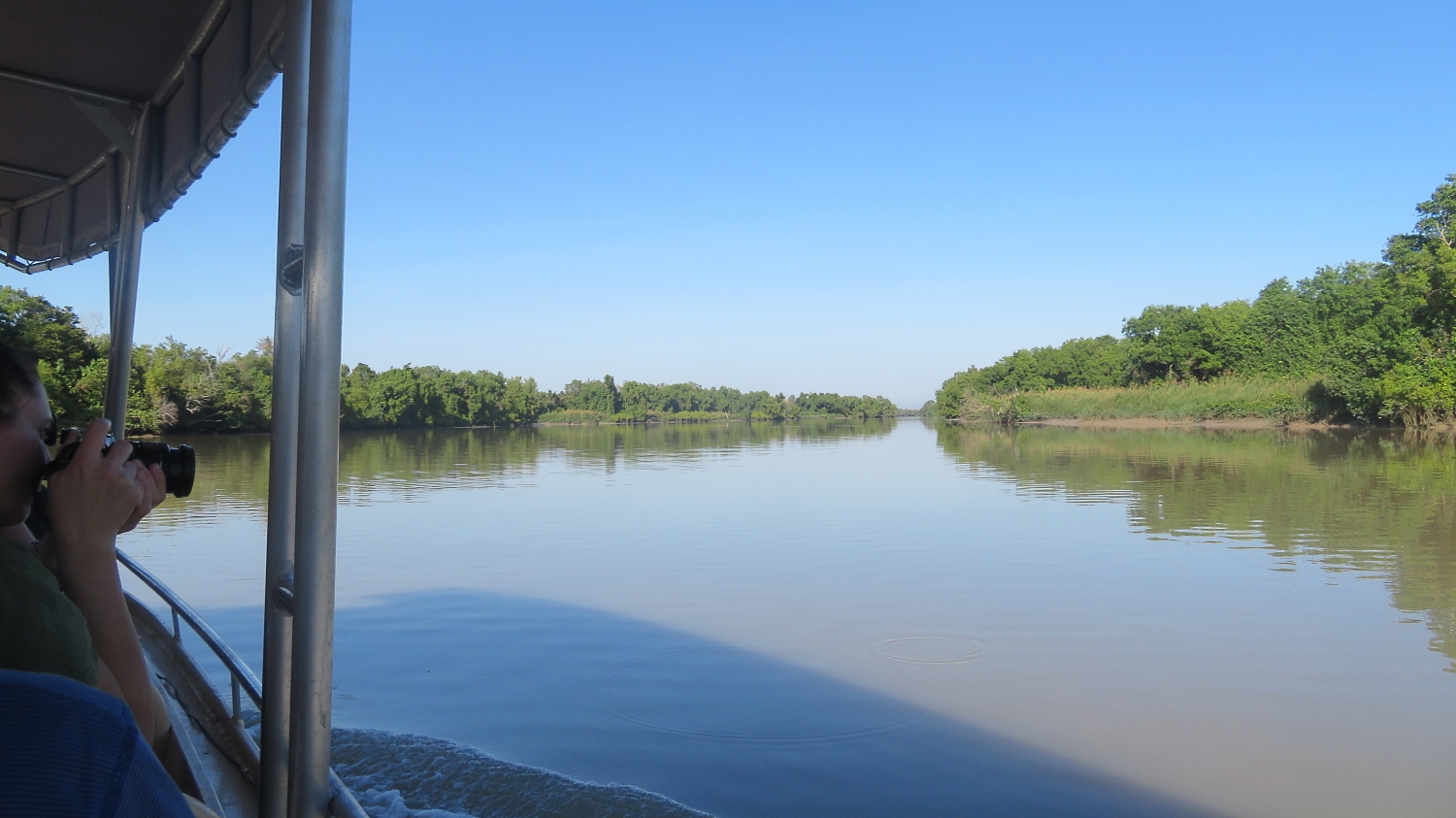
A tourism venture called “Original Jumping Crocodile Cruises” is our destination where we’re on the first cruise of the day. Well, it was pretty spectacular. We were in an open sided boat, told to keep all hands, cameras, etc inside the boat and headed out looking for crocs. The river itself is quite spectacular and just the cruise along the river was enjoyable, however it wasn’t long before we came across crocs lazing on the river banks keeping a watchful eye.
Cruising alongside the boat. Adelaide River
The tour guide was excellent – informative and fun. He’ll hold out a pole with a piece of meat tied onto a line and a croc will quietly slip into the water and sidle over, without so much as a ripple in the water. When the croc is alongside the boat, it’s teased a little with the meat. They’re expected to do 3 jumps before, on the third, they receive the meat. Just one piece per croc. We must have watched perhaps 10 big crocs jumping well out of the water to get the meat. The tour guides have named all the crocs and know their personalities well.
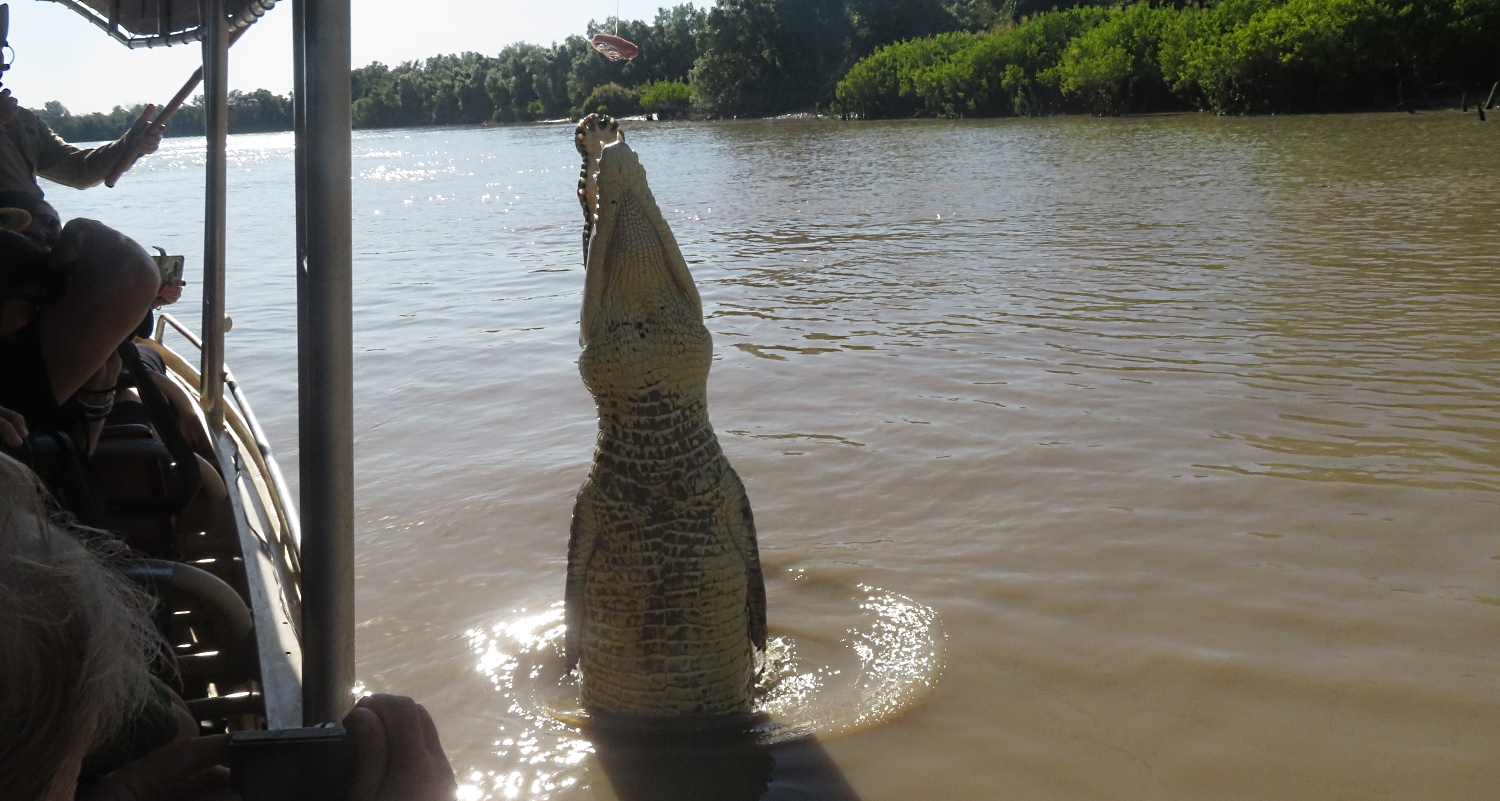
And up he goes. Note the meat on the line which you’ll see just at the top of the background tree line. Adelaide River
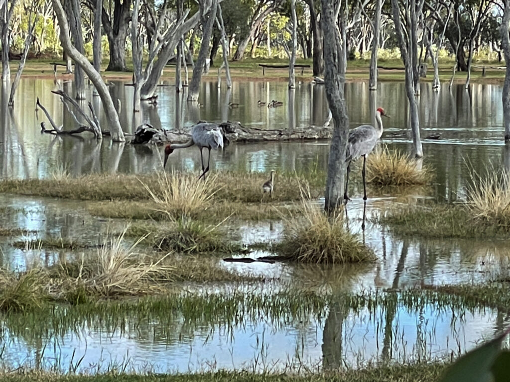
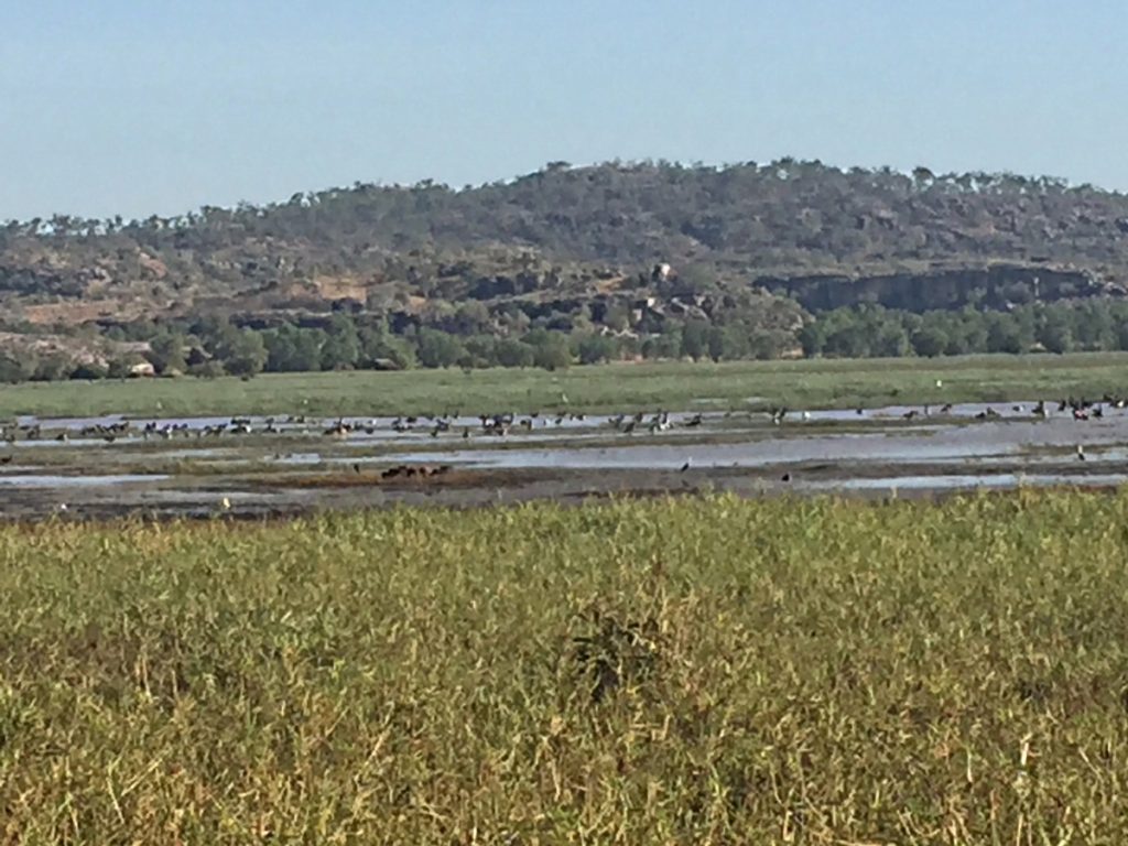
Moving on from here a nearby lagoon fulfilled our ration of birdlife for the day.
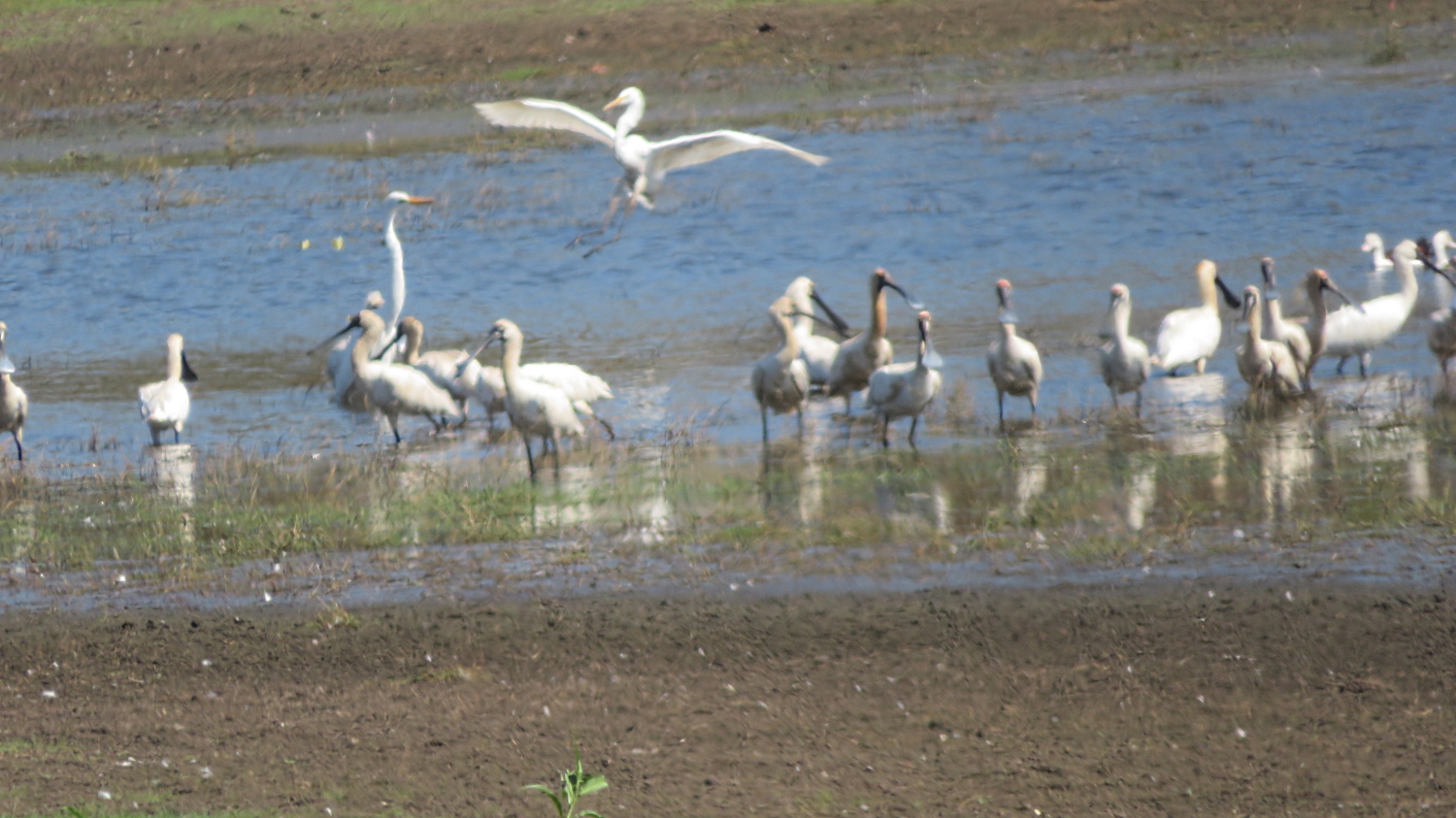
Coming in to land, ignored by the spoonbills.
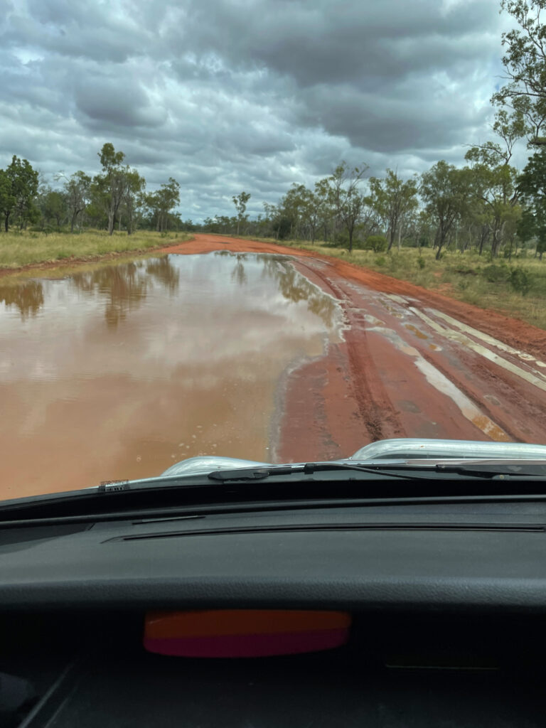
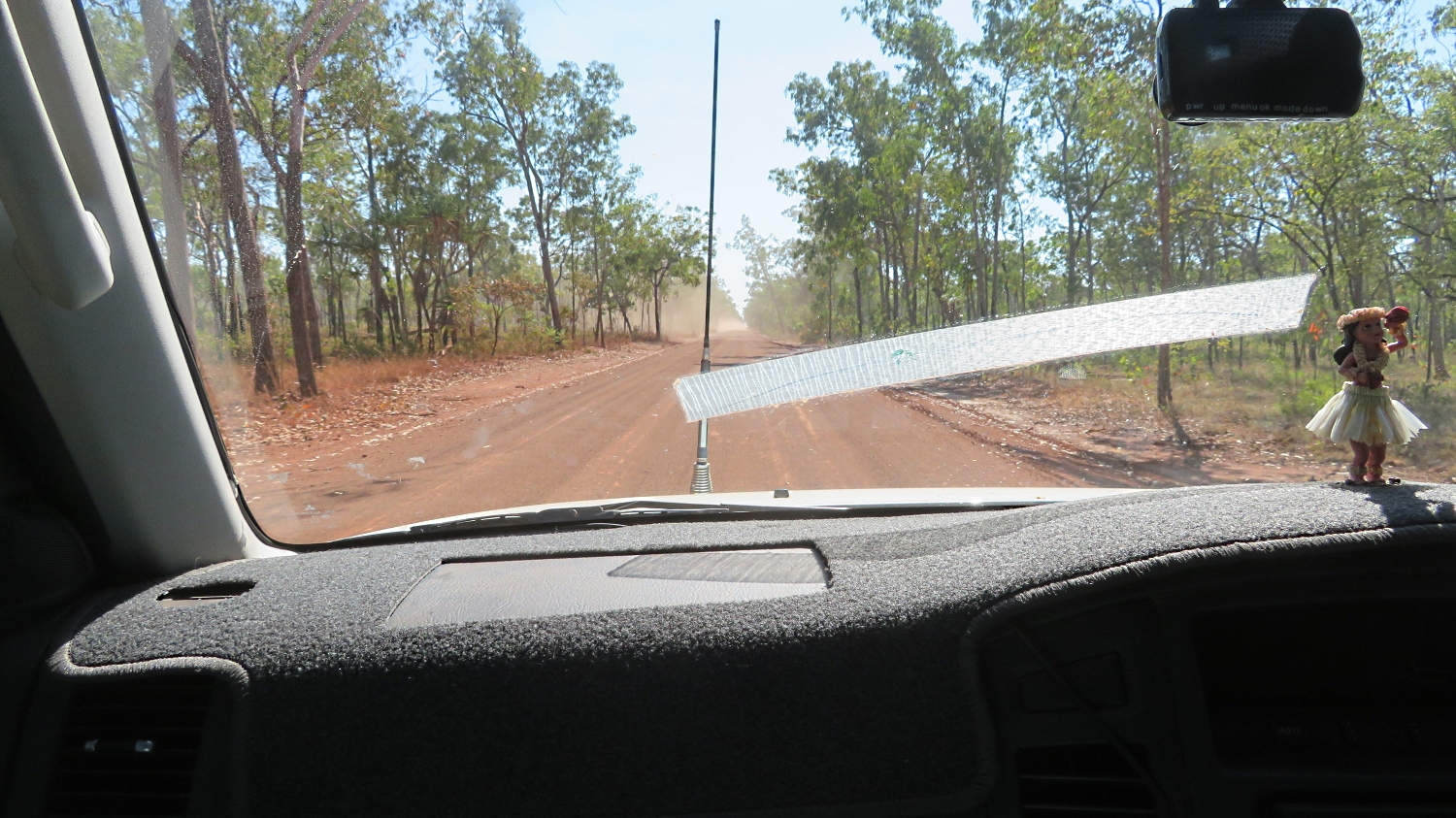
From here we backtracked south a little way along the Arnhem Highway before turning right onto a 4-wheel drive road that was a shortcut across to the Stuart Highway. The road, while unsealed, was in good order, apparently infrequently used and a very pleasant drive.
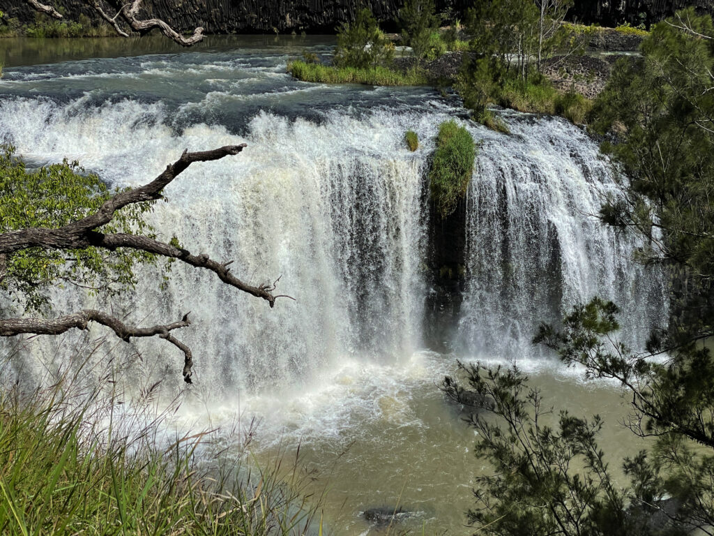
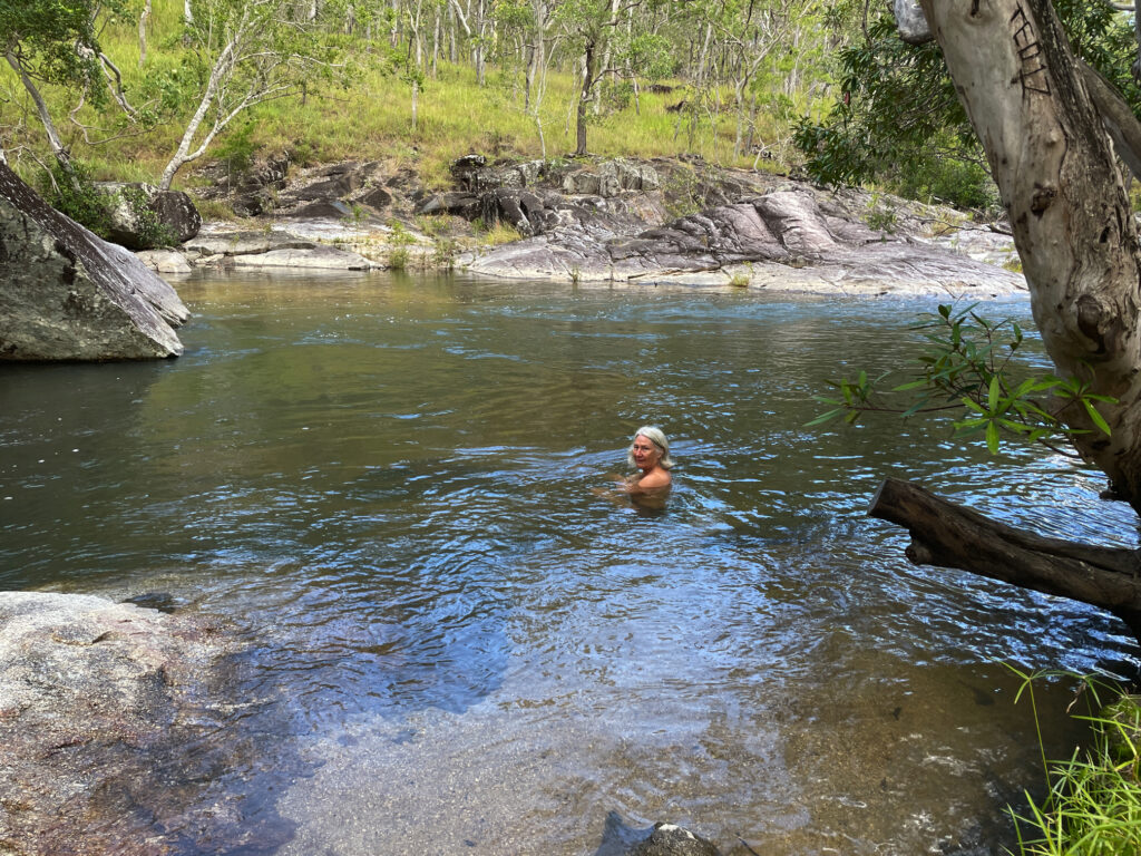
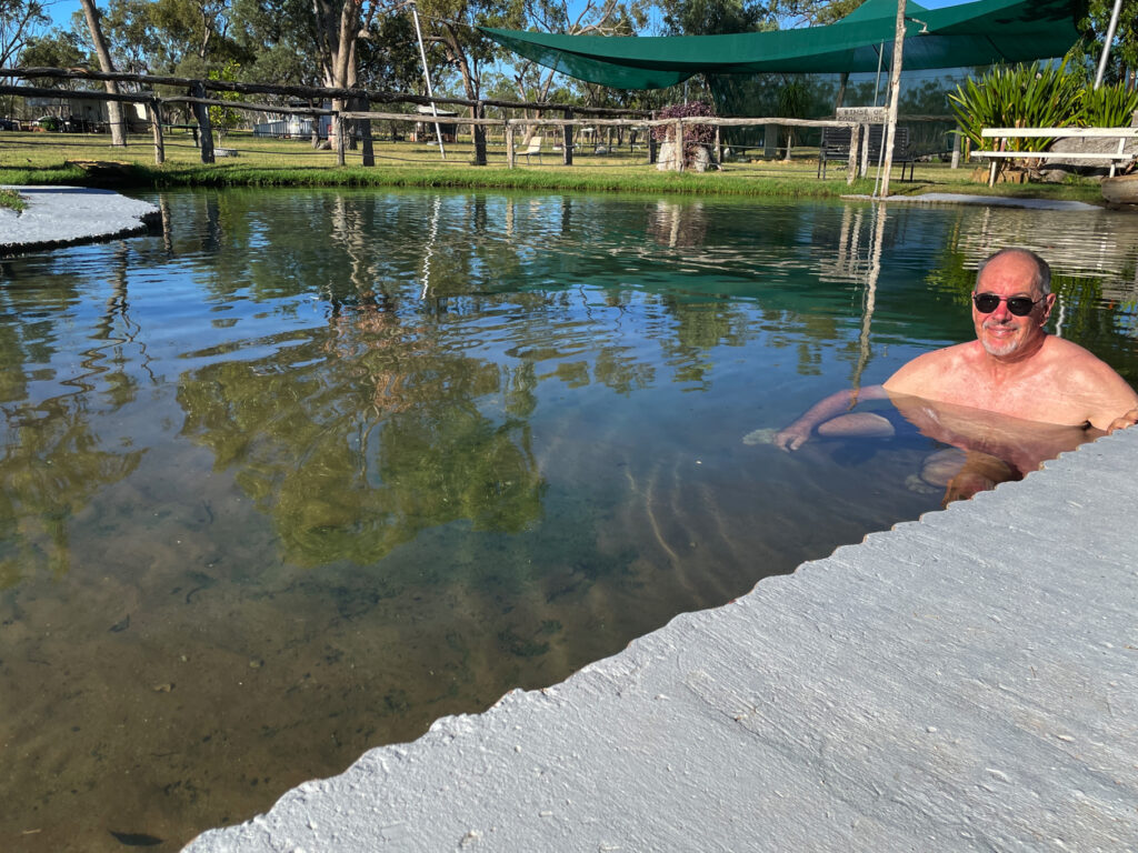
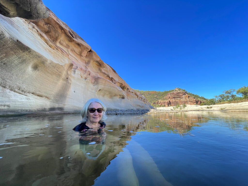
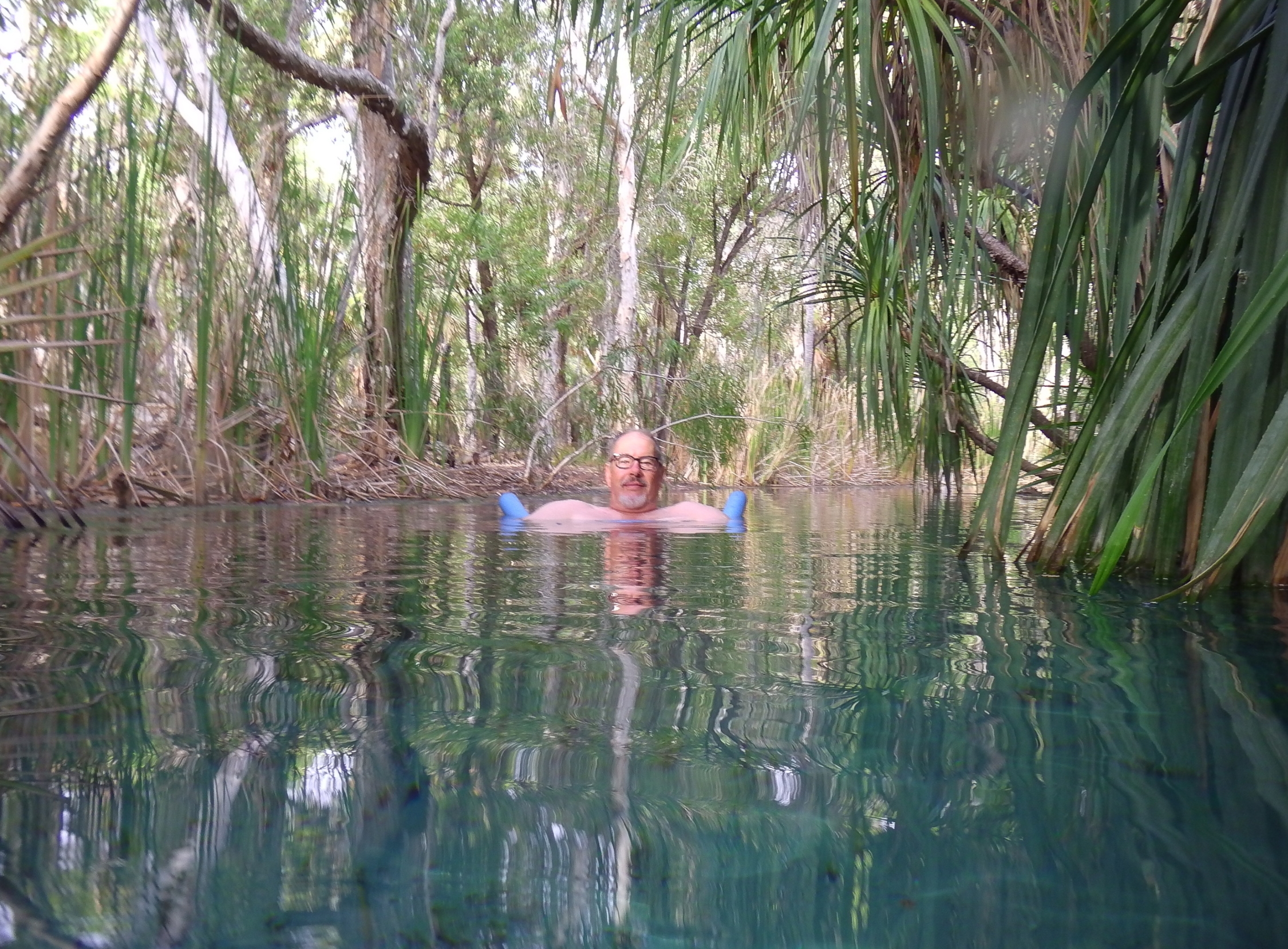
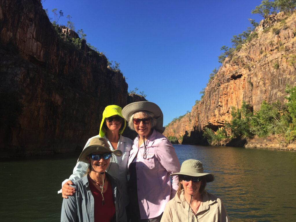
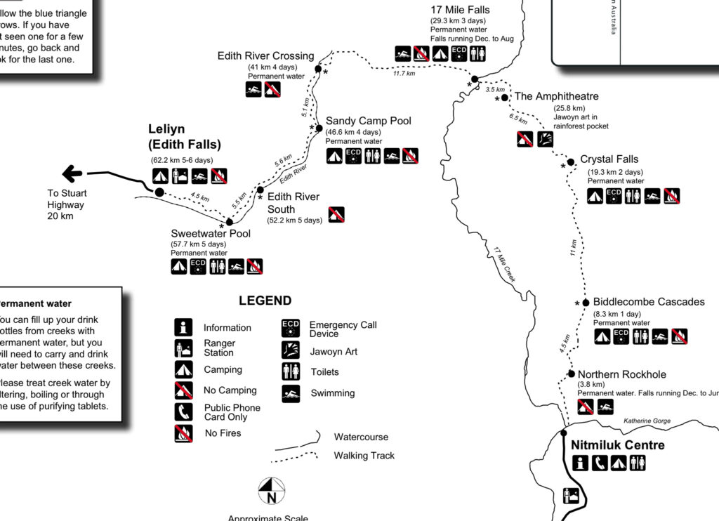
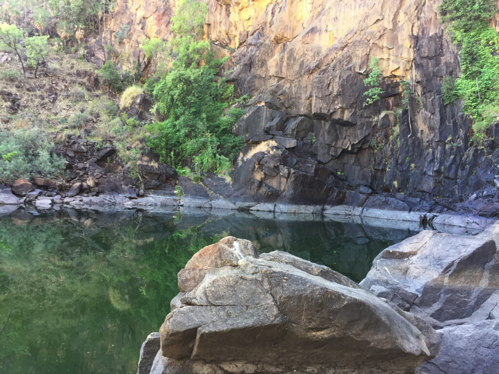
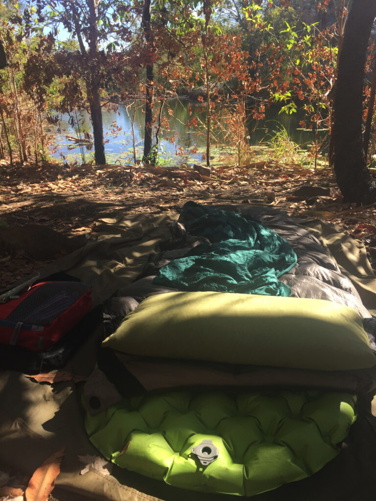
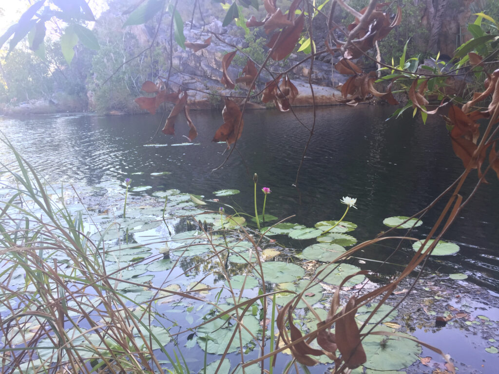
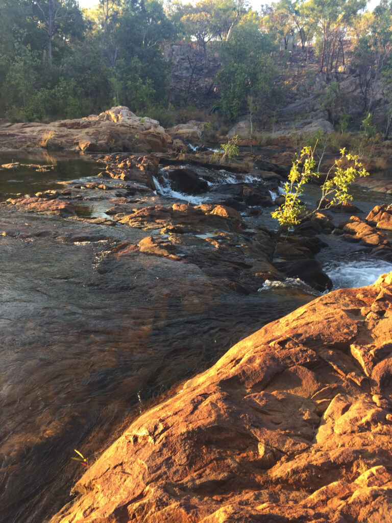
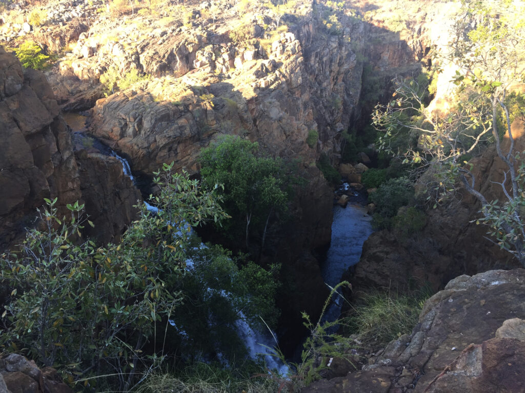
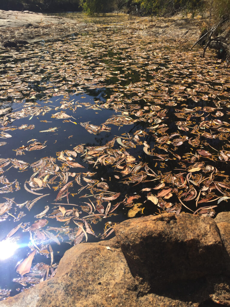
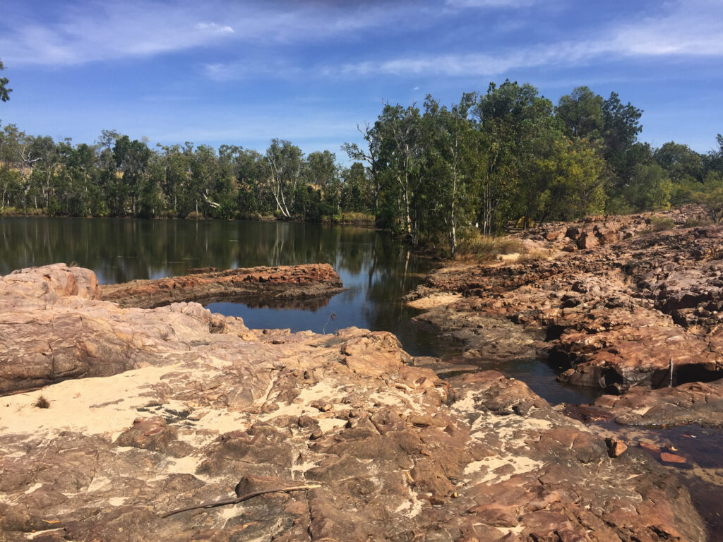
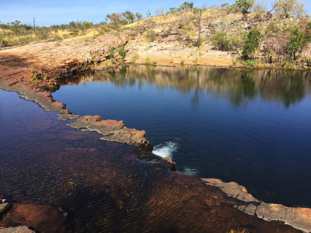
Next stop was the magnificent Leliyn (Edith Falls) which is on the edge of Nitmuluk NP (Katherine Gorge) and was the finishing point for my Jatbula walk of only 2 weeks ago. The Edith River cascades into this very beautiful, large freshwater pool that has been de-crocced (is that a word?) and therefore safe for swimming. We enjoyed a lovely swim and relaxed here for a couple of hours before wandering on, in our own time, to the Shady Lane caravan park in Katherine where we’ll spend the night.
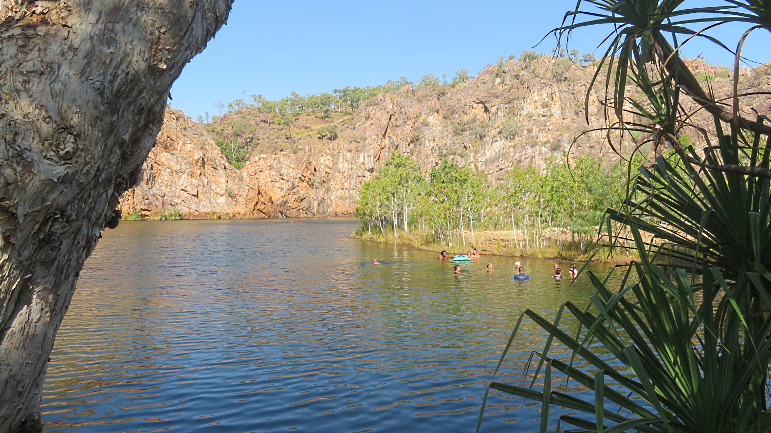
The pool at Leliyn. That’s me with the grey hair, enyoying my swim with others in our group. In the distance you can just see where the Edith River cascades down into the pool.
Washing, shopping and refuelling in preparation for the next leg of our journey was a priority this afternoon. Once more we filled the jerry cans we carry on the roof racks (with diesel), just to be sure. Rather than cook we bought pizzas and shared them with Pat and Dick.
Sunday 11th August
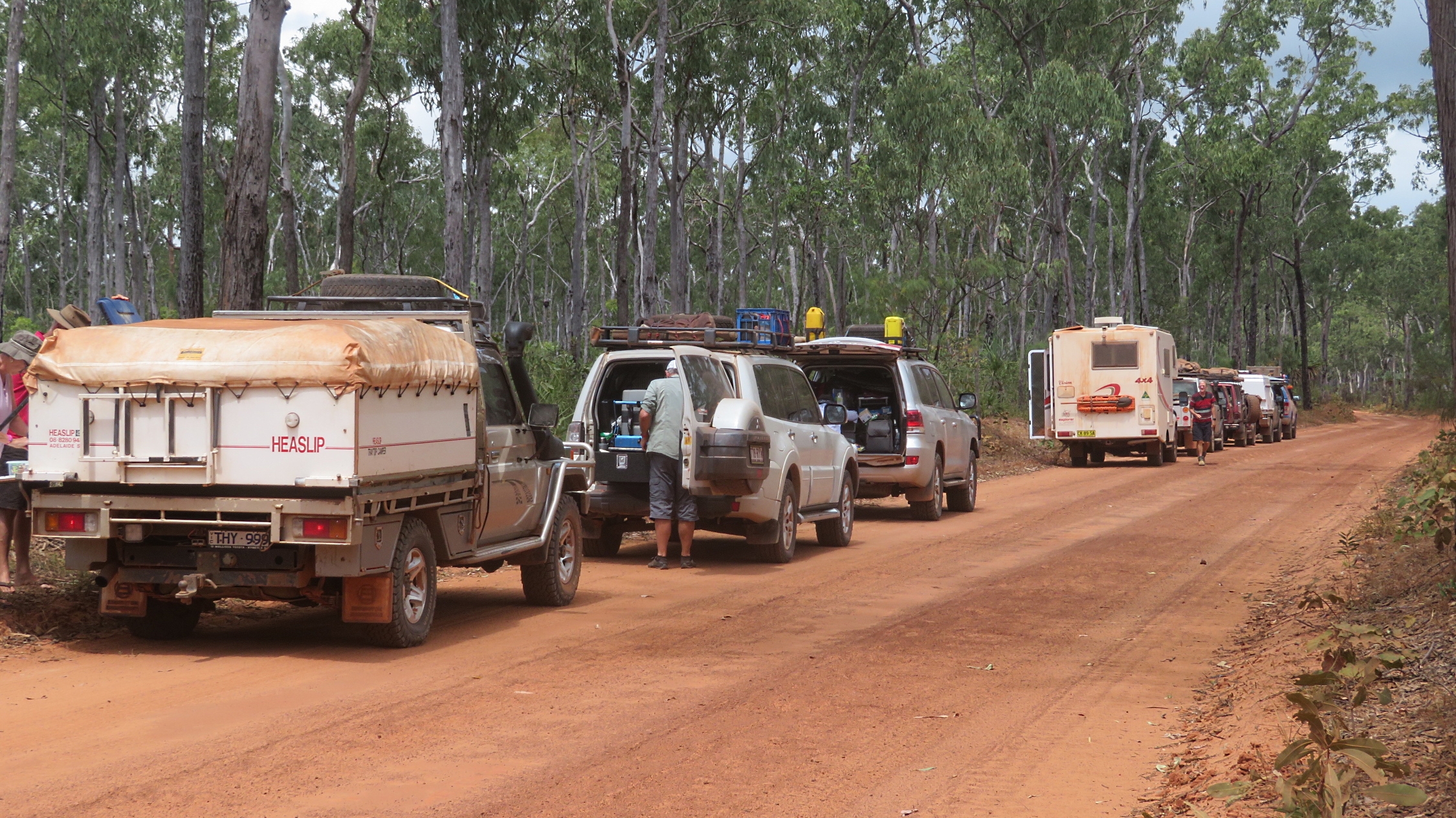
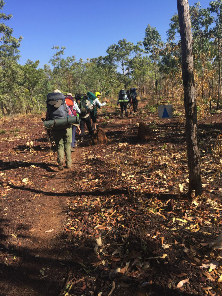
Heading south as we left Katherine it was only about 50km before the turnoff for the Central Arnhem Road that joins Nhulunbuy to the Stuart Highway. A few years ago 4WD Magazine ranked the Central Arnhem Road in its top 5 “must drive” four wheel drive tracks. We agree! This is another road that requires a permit from the Northern Lands Council as we travel predominantly through Aboriginal lands (as did all the West Arnhem Land roads). It’s unsuitable to tow vans and permits won’t be granted to do so, apparently
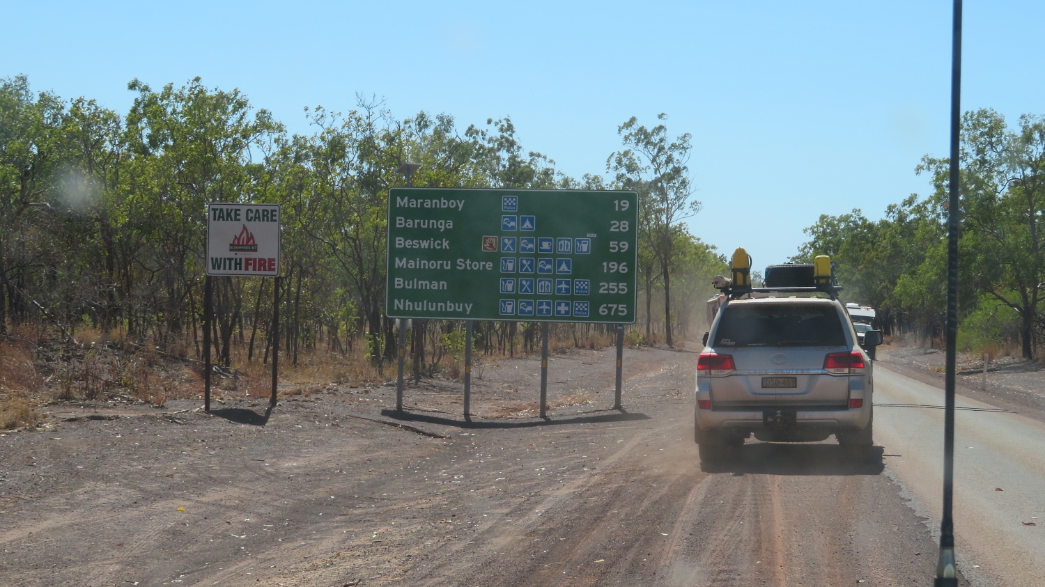
Beginning the Central Arnhem Highway. Mainoru Store is our destination today.
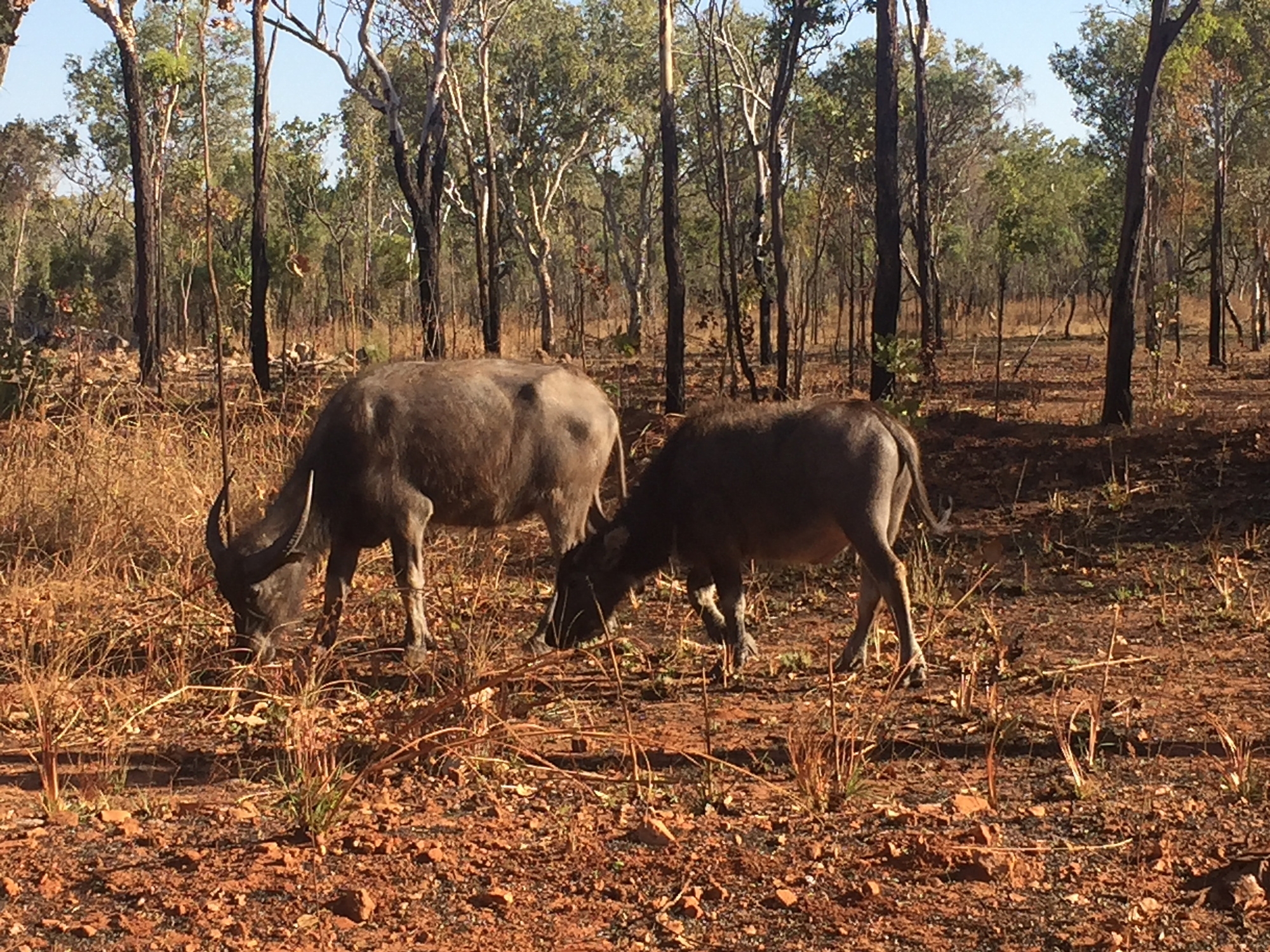
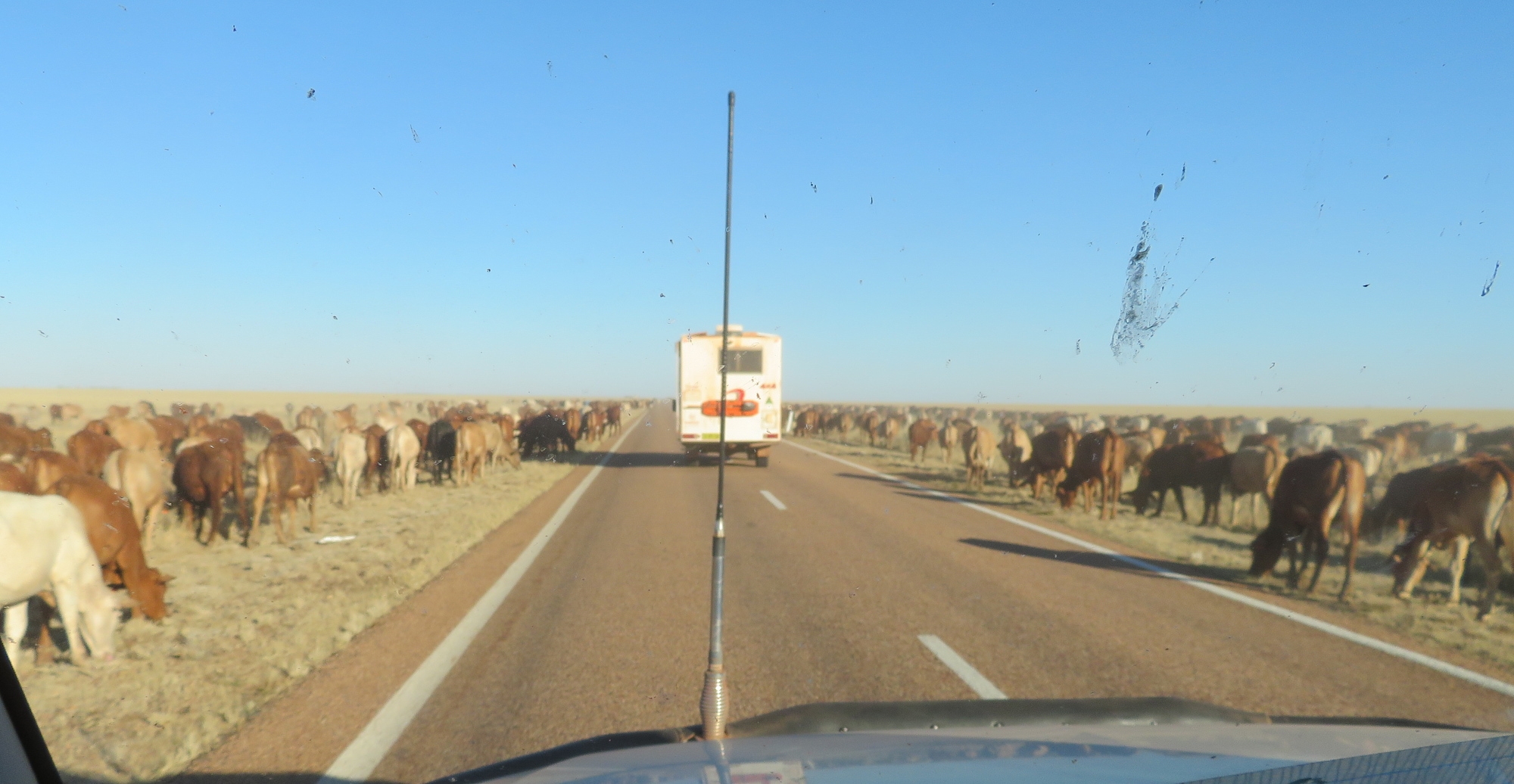
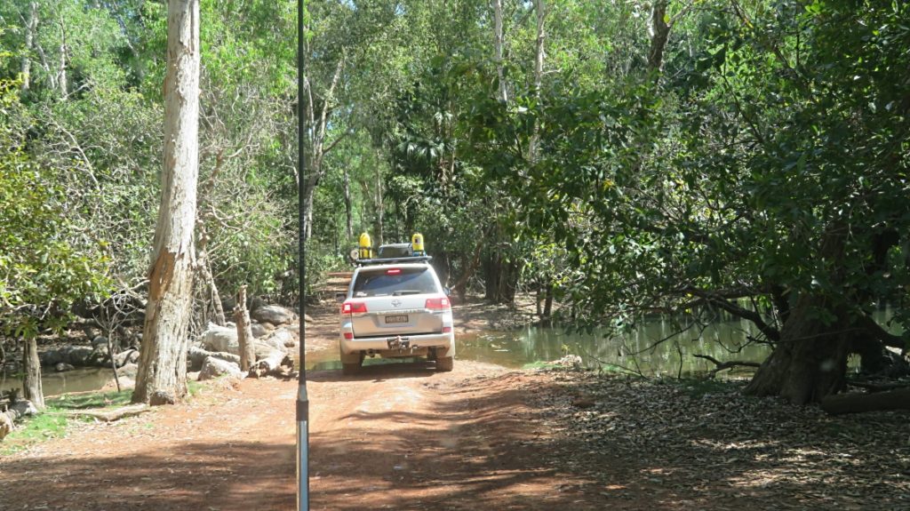
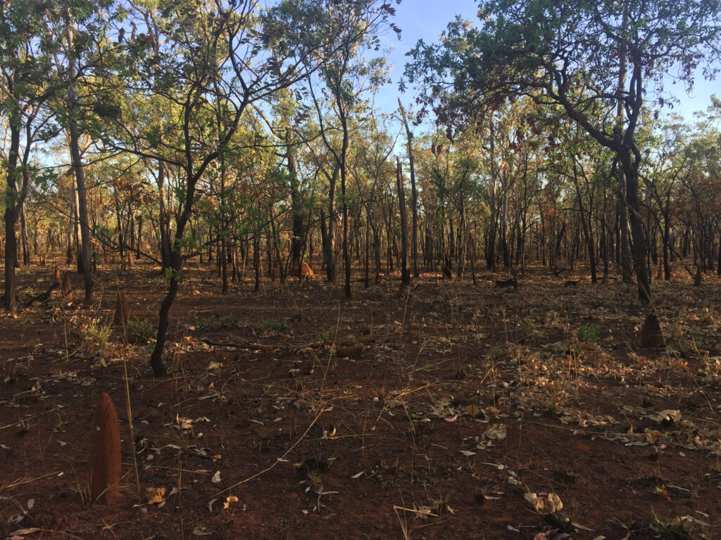
Once we hit the dirt the tyre pressures were once more reduced and our convoy spread out over many kilometres as we hung back from each others dust. We passed through a few small aboriginal communities on the way. A constant lookout had to be kept for feral animals straying onto the road – cattle, donkeys and buffalo.
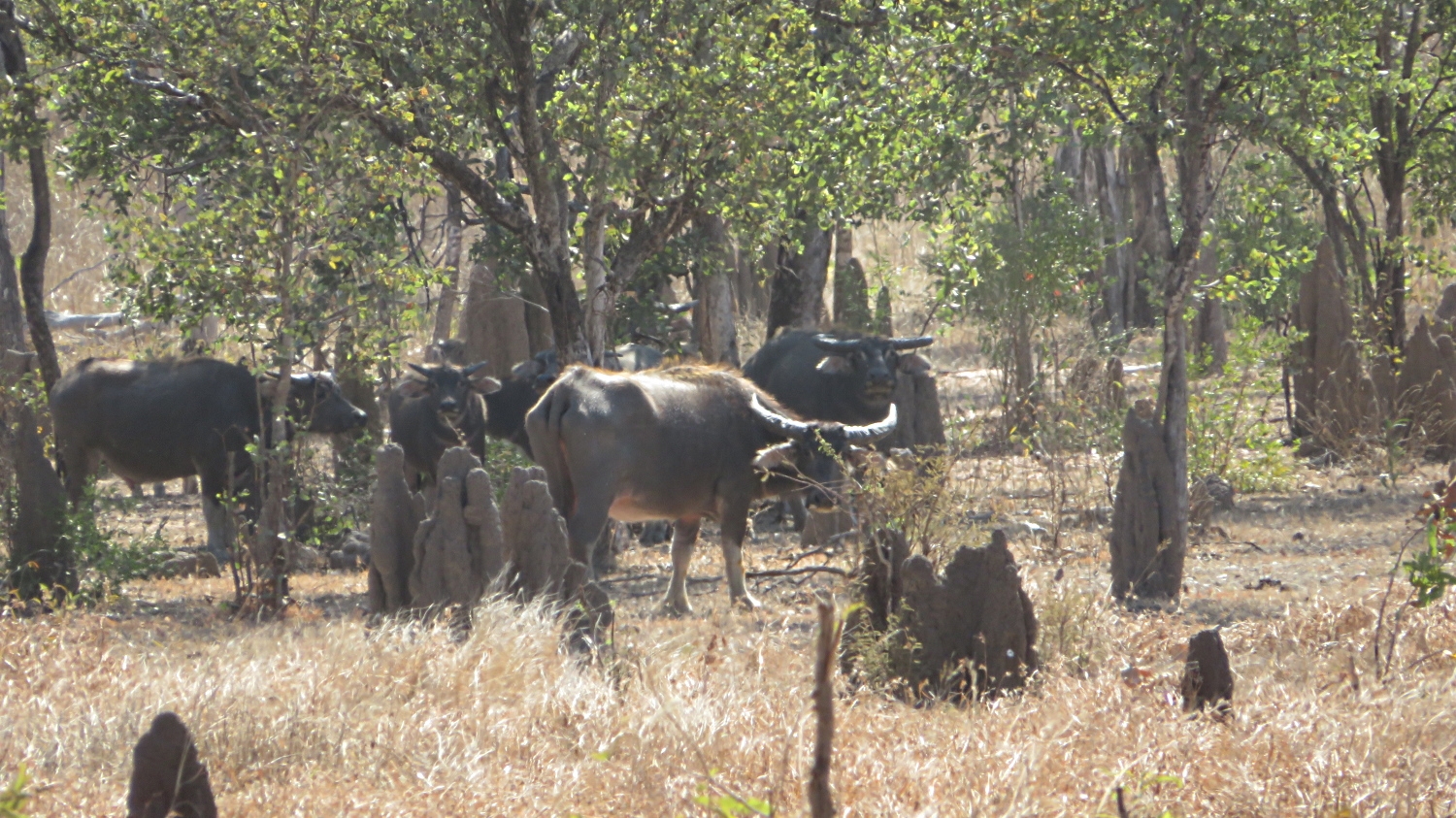
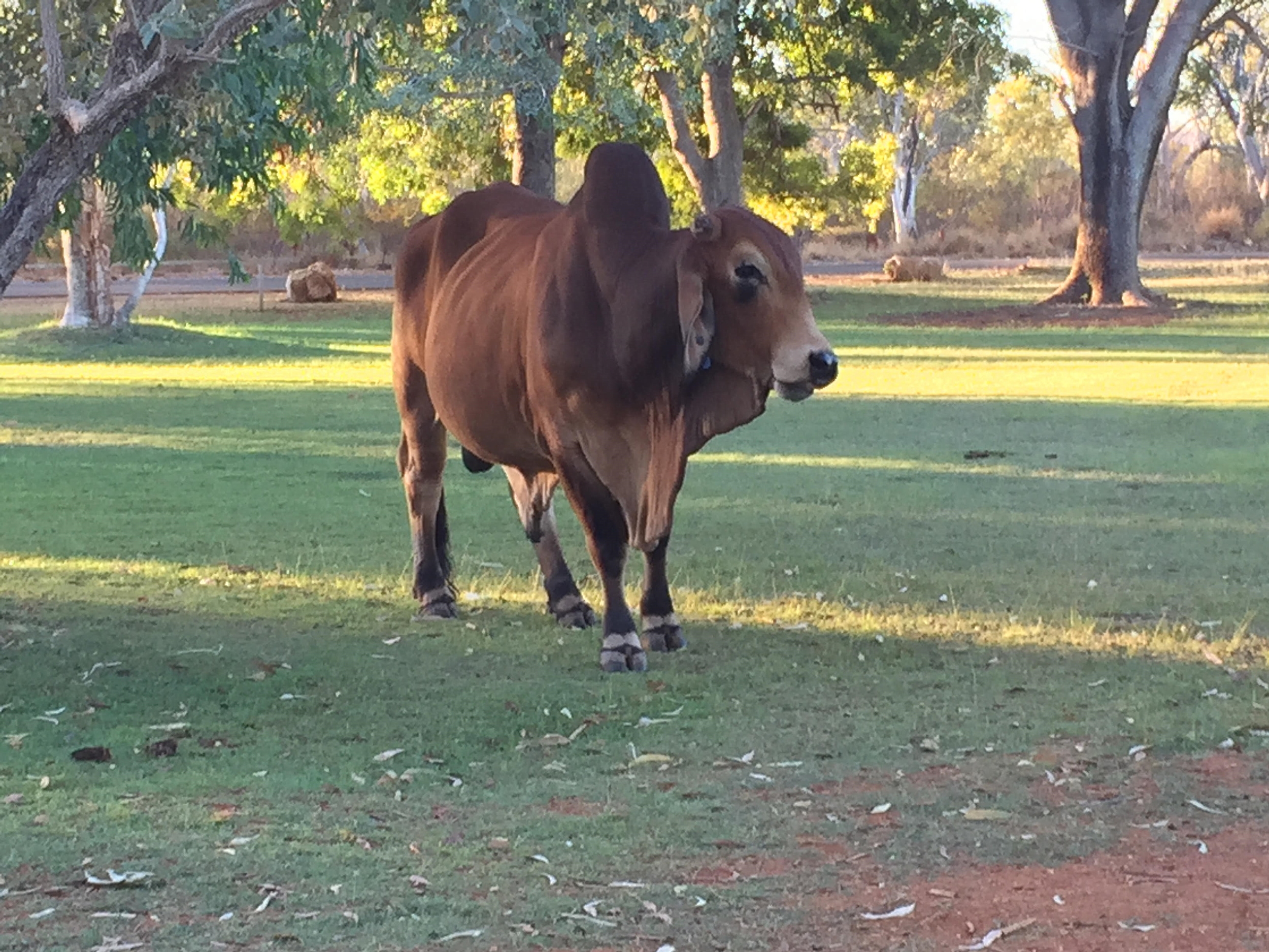
Feral buffalo are prolific in Arnhem Land. Hunting safaris are common and there’s also a meat trade in buffalo.
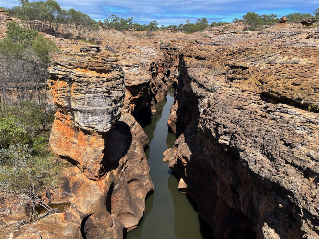
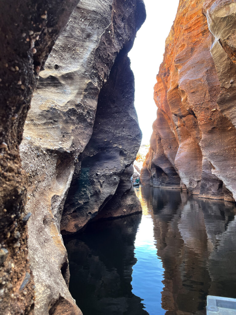
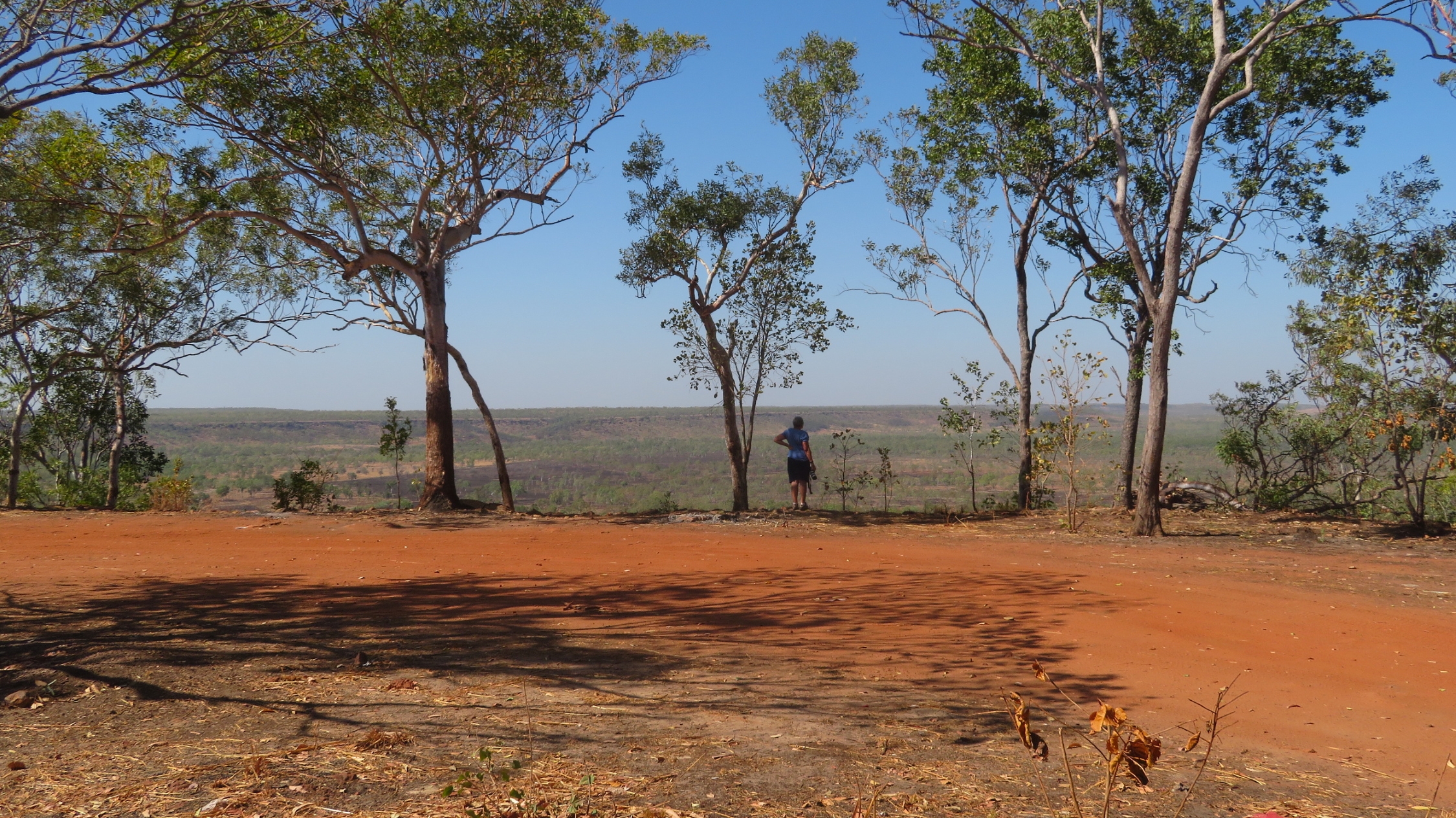
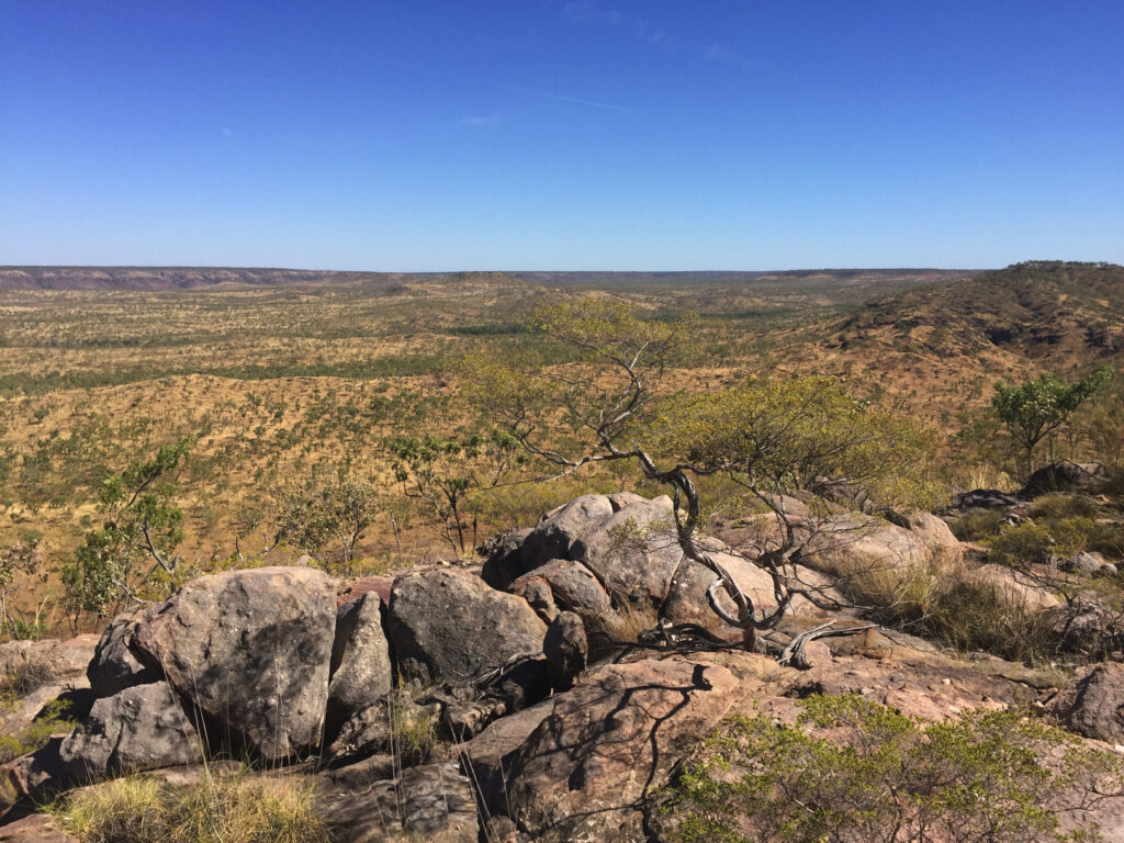
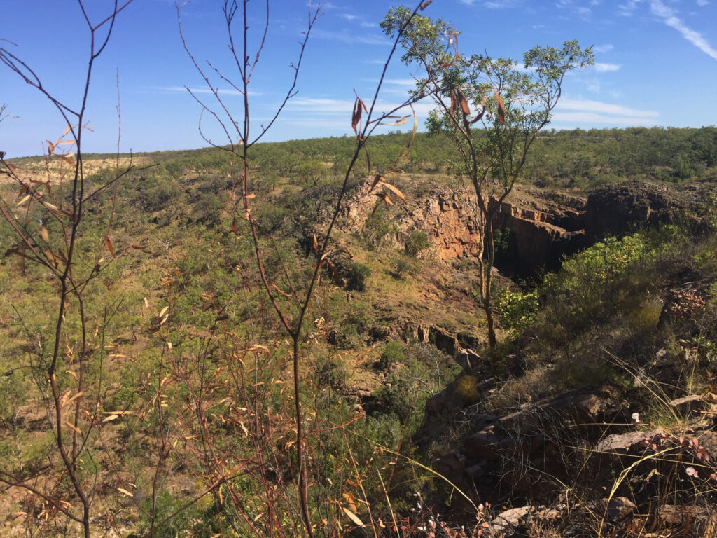
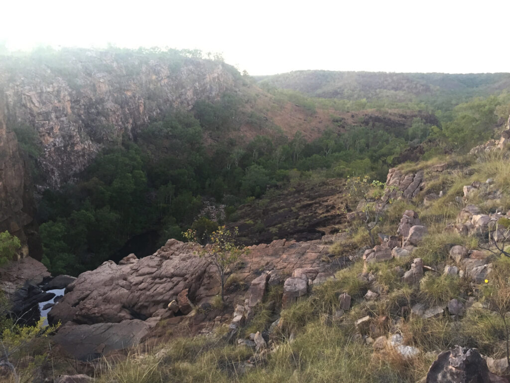
Lunch today was at a lookout over what is colloquially known as Jurassic Park. The area looks like its a sunken valley with cliff edges all around and a flat base. Quite unexpected out here where everything is so flat.
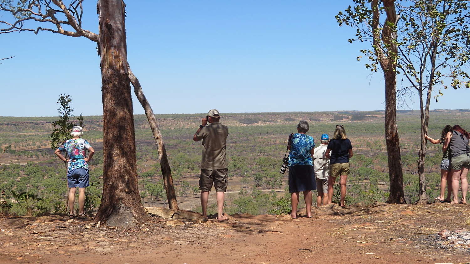
A break for lunch overlooking “Jurassic Park”.
The road condition has been quite good. Some sections corrugated and dusty, but mostly reasonably smooth, fast, hard dirt. When oncoming vehicles approach we’d reduce speed to a crawl, and when the road trains approached, and we saw a few, we’d pull right off the road and stop. After they’d passed visibility would be close to zero for several minutes until their dust settled.
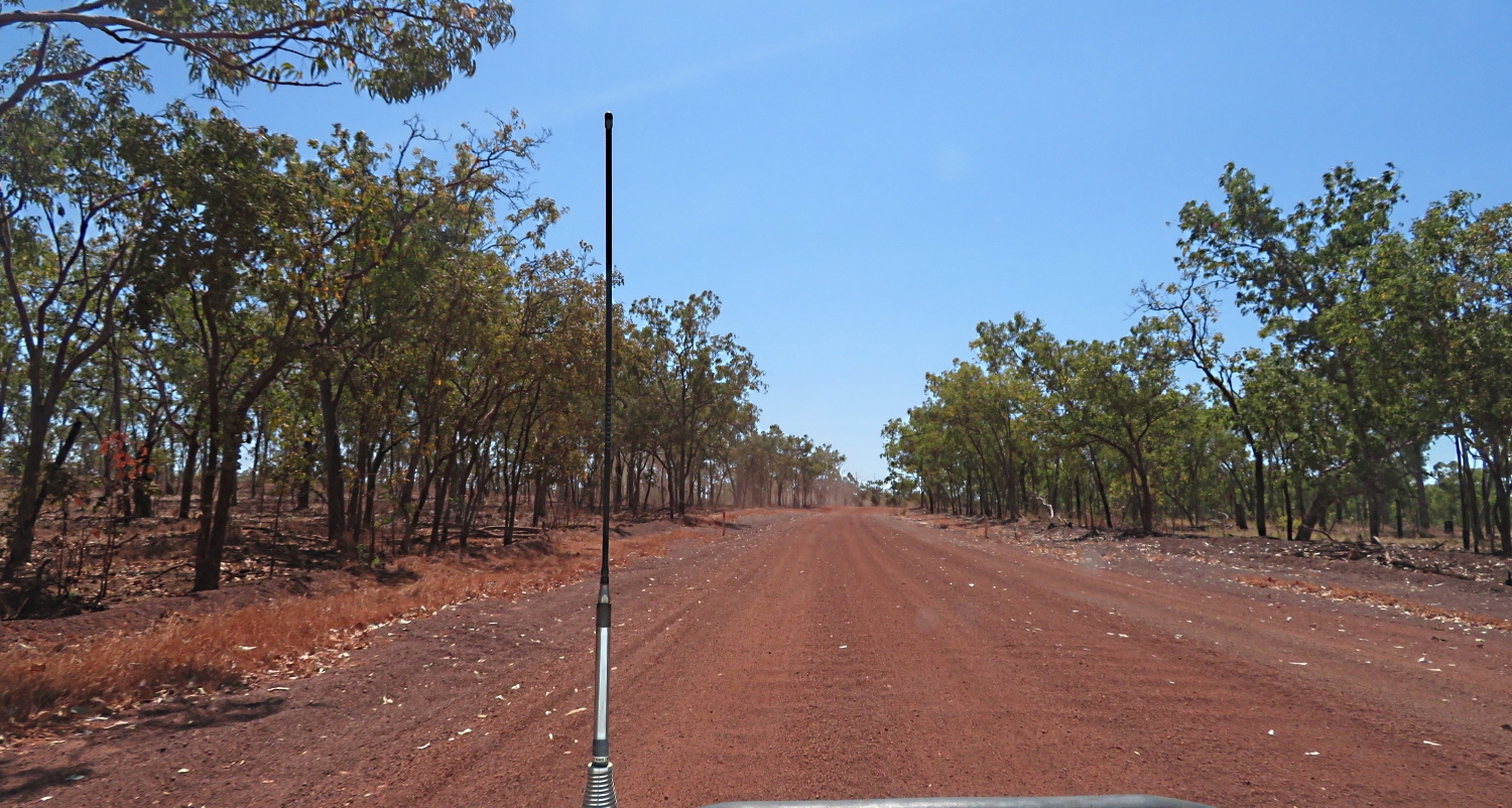
Central Arnhem Highway. A few corrugations here.
Late afternoon we arrived at Mainoru Store. This is a store that sells everything, food, clothing, shoes, etc. Camping tonight is on a beautifully grassed area beside a natural spring. The store owners have big sprinklers on the lawns 24/7 and that spring never falters. After setting up we went for a walk along it. It’s a beautiful lilly-covered oasis surrounded by glorious gum trees So unexpected out in this harsh environment.
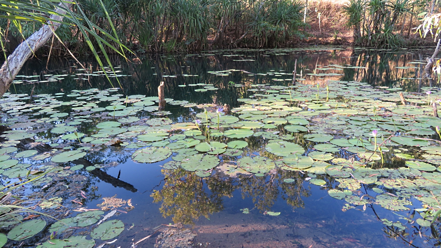
The fresh water spring that never runs dry beside the camping ground at Mainoru.
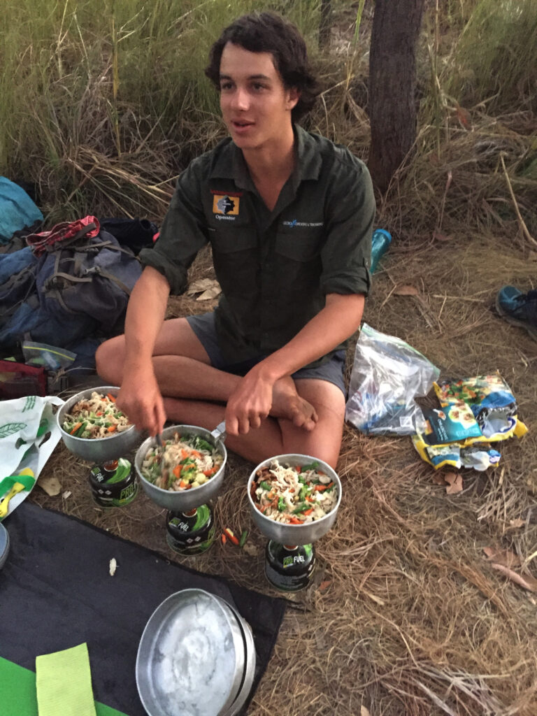
All feeling weary after a long, dusty drive today Neill organised for the store to cook us a meal – chicken and salad. Very average. Then to cap it off Steve and I had set our tent up close to the toilets. Everytime the door opened, which was frequently, it closed with a loud bang, and the whole area was illuminated with what I swear was a search light on a motion sensor. Not the most restful of sleeps.
Monday 12th August
We left early today to cover the 470 remaining kilometers to Nhulunbuy. Much of it was corrugated, though some stretches not too bad.
Driving the Central Arnhem Rd north of Mainoru Store. Note the tape on the windscreen – placed over a crack that occured on the way up to Darwin. Also note distance from vehicle we’re following, avoiding the dust.
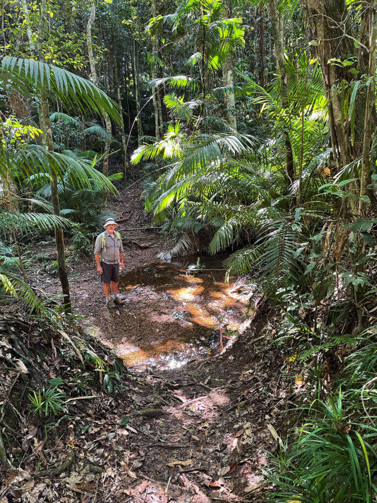
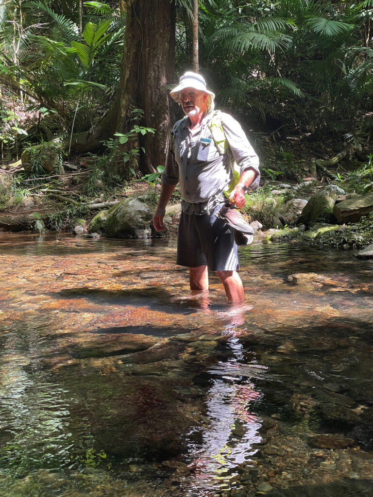
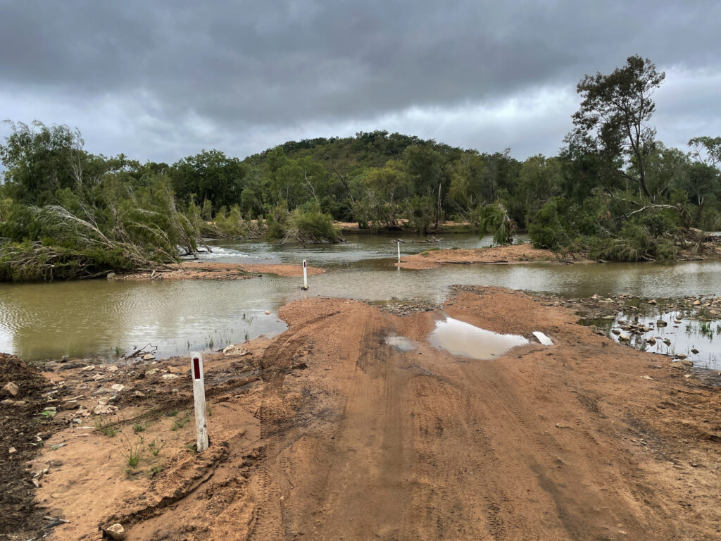
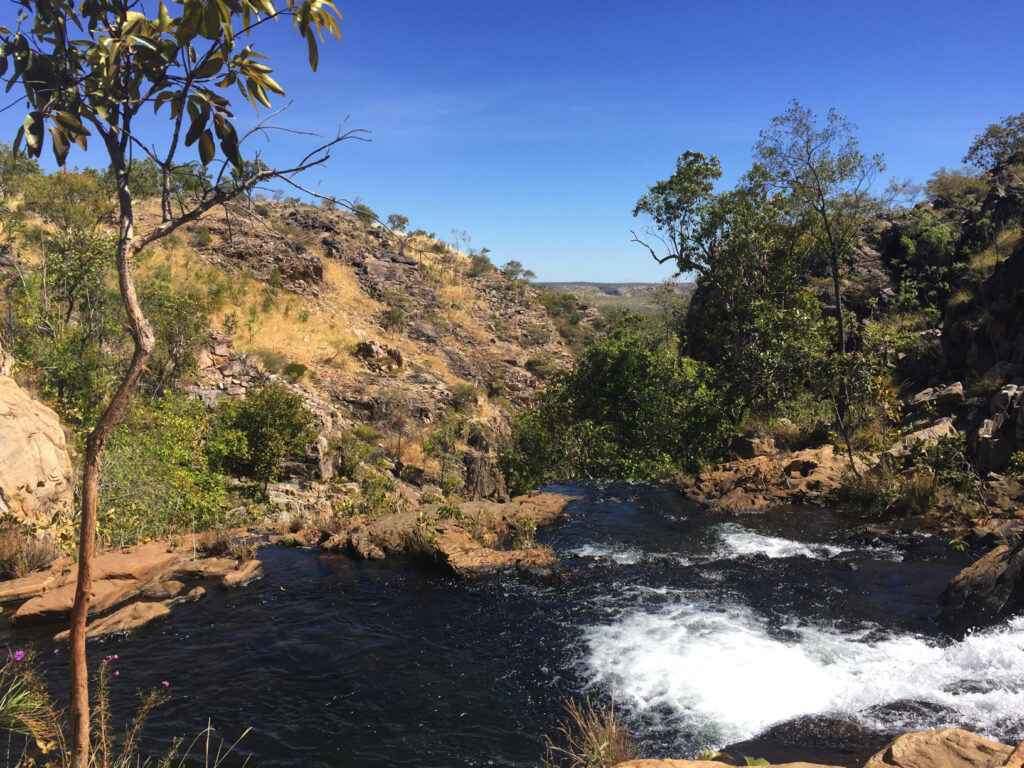
The Central Arnhem Rd crosses several small creeks. It also crosses the Goyder River and its flood plain, a challenge for road users in wet weather prior to 2014 when the government built a very large, all-weather bridge to bypass this difficult crossing. The old crossing is our destination for morning tea today. It does appear that the road authorities don’t want you to go there as the exit off the main road is well hidden. With some prior knowledge though we were all soon travelling on a lovely single-lane road to a delightful, shallow, broad crystal-clear brook, babbling over a stoney base which was the Goyder River on this day. The entrance and exit could be steep and I can imagine the trouble the road trains had trying to cross this river before the bridge was constructed, particularly after a good wet season.
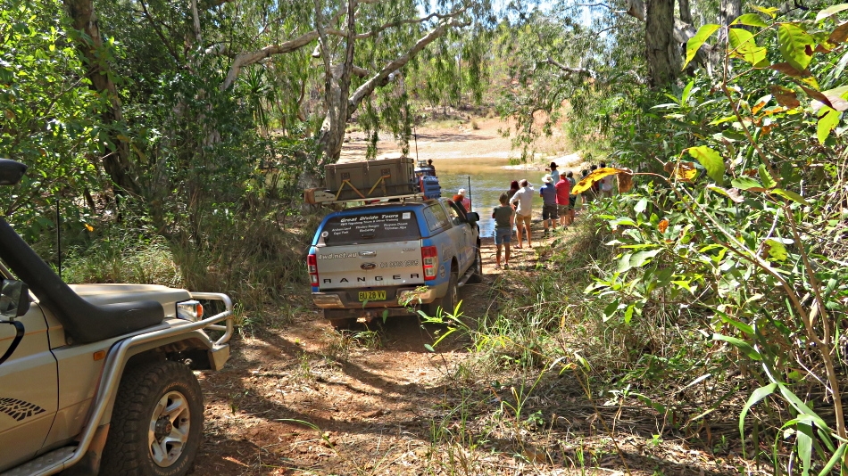
Will we or won’t we? Goyder River
A discussion of whether we should cross or return the way we’d come in was had, with all voting to cross (not sure that Neill, the guide, had a say in that decision). What’s a 4-wheel drive trip without a decent water crossing or two? (Grin)
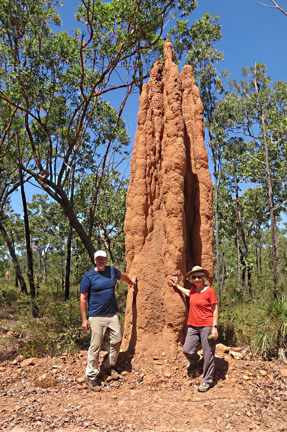
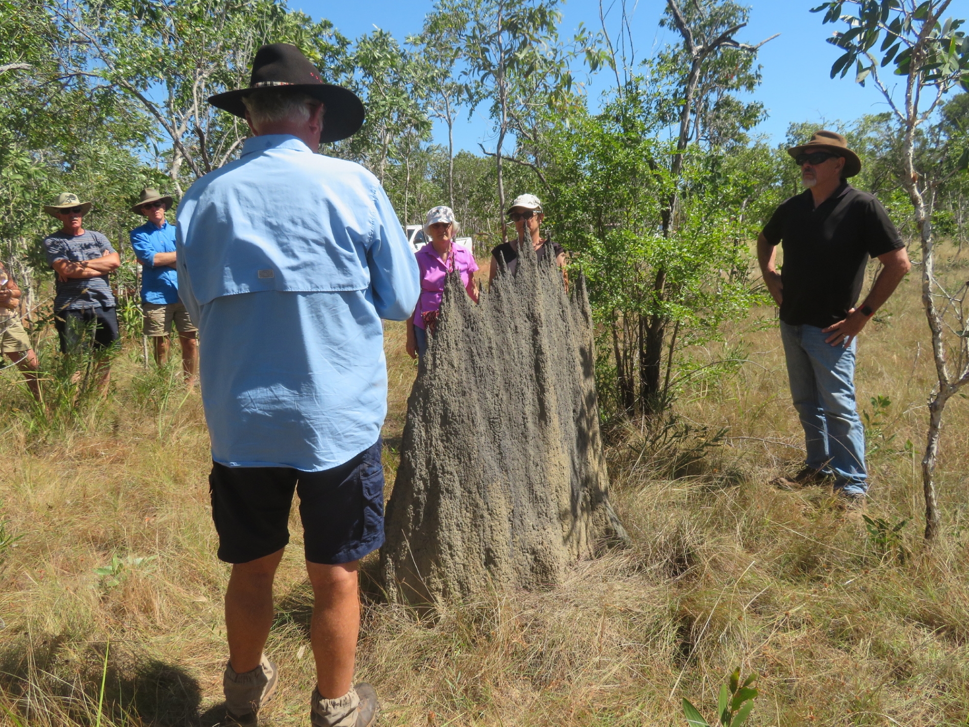
Apparently the biggest termite mound in Arnhem Land.
Further on we stopped by the largest termite mound in Arnhem Land.
Arriving tired at Nhulunbuy on the coast, we set up camp behind the Walkabout Lodge on lovely green grass, with modern, clean toilets and showers … and washing machines! After attending to the necessary I cooked a stir-fry and we went to bed to sleep well, listening to the surf in the background.
Tuesday 13th August
We did a full day trip down to Cape Arnhem today. Abel Tasman, a Dutch explorer, named Cape Arnhem in 1644 after the Dutch ship Arnhem which explored these waters in 1623 – the captain of this ship and some of his crew were killed here by the indigenous inhabitants – I wonder what they did to upset them! Terre d Arnhem appeared on early Dutch maps but wasn’t ‘official’ until the Aboriginal Reserve was named Arnhem Land in 1936.
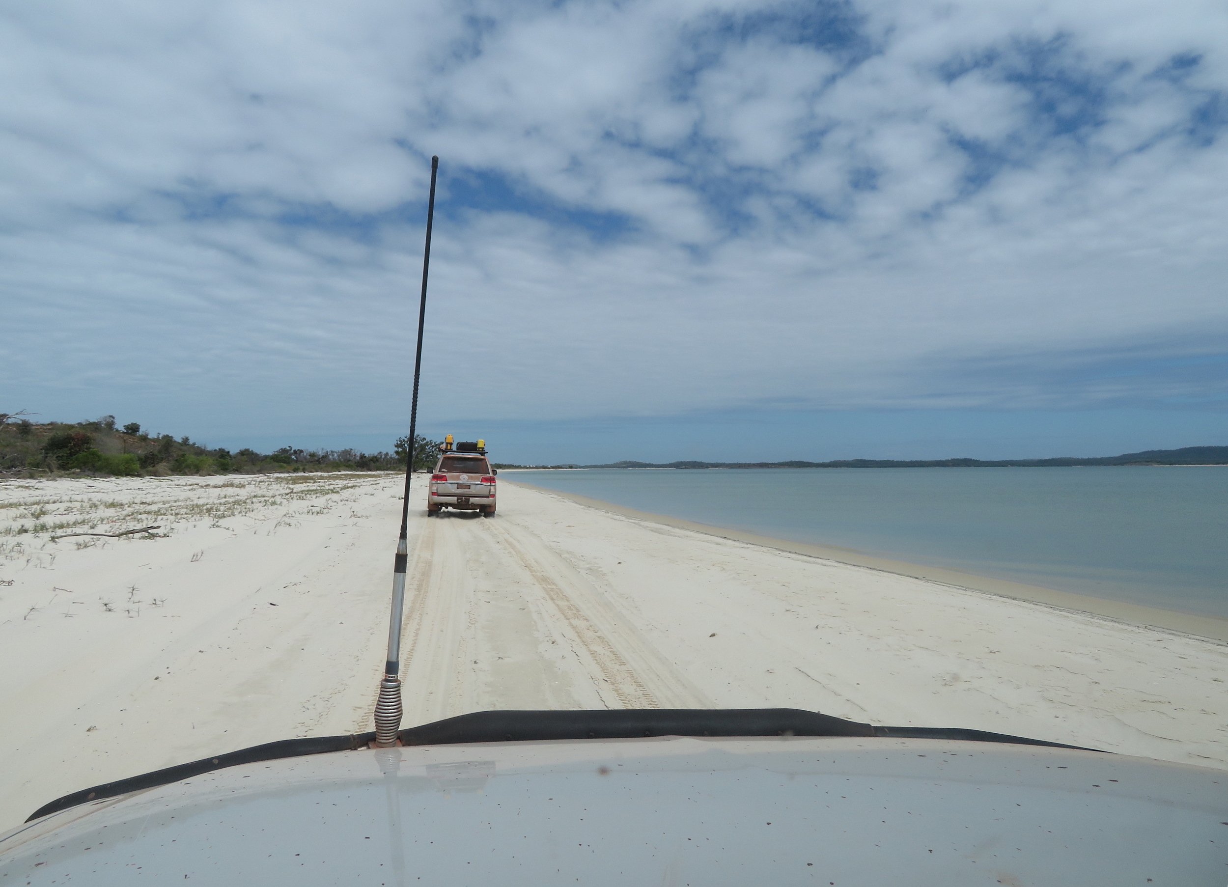
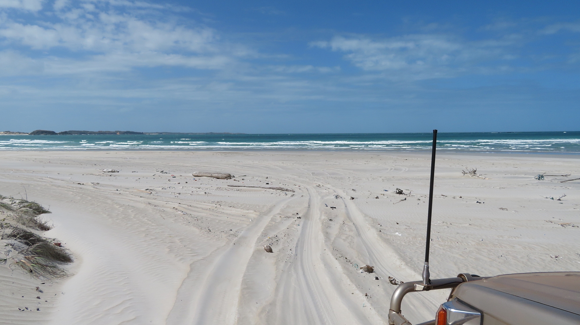
A narrow, winding track around trees, washouts, holes, rocks, etc, took us from the Central Arnhem Road to the coast, then a steep descent down the dune escarpment led to sea level and onto a beautiful little beach for a BBQ lunch provided by GDT. Tyre pressures were down to 16PSI by this time as we were driving on very soft sand.
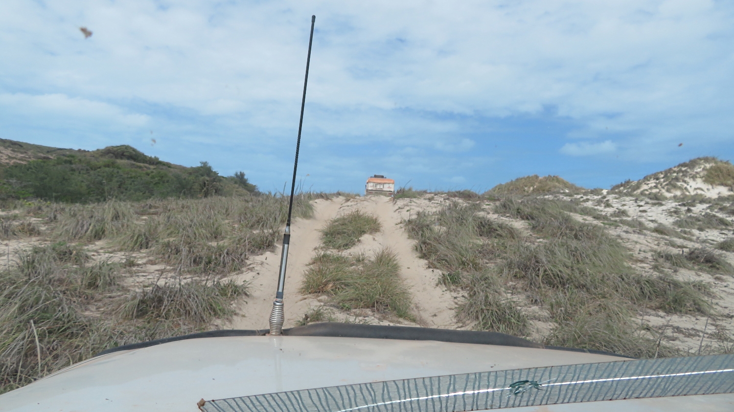
Up and over the sanddunes on our drive around Cape Arnhem and its beaches. (That’s the back of a vehicle with a built-on tent in front of us, not a house!)
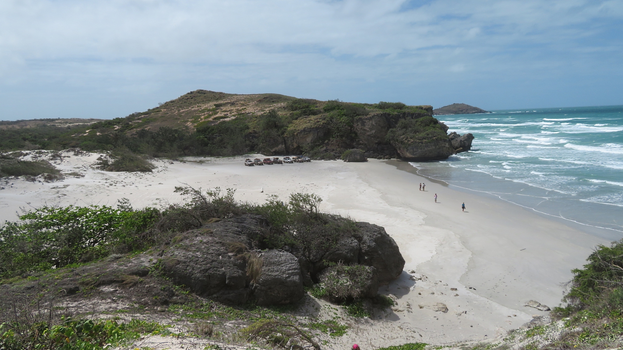
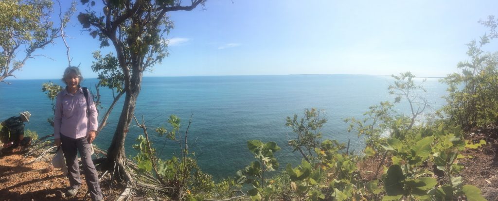
A view of our ‘lunch time’ beach from the top of the dune.
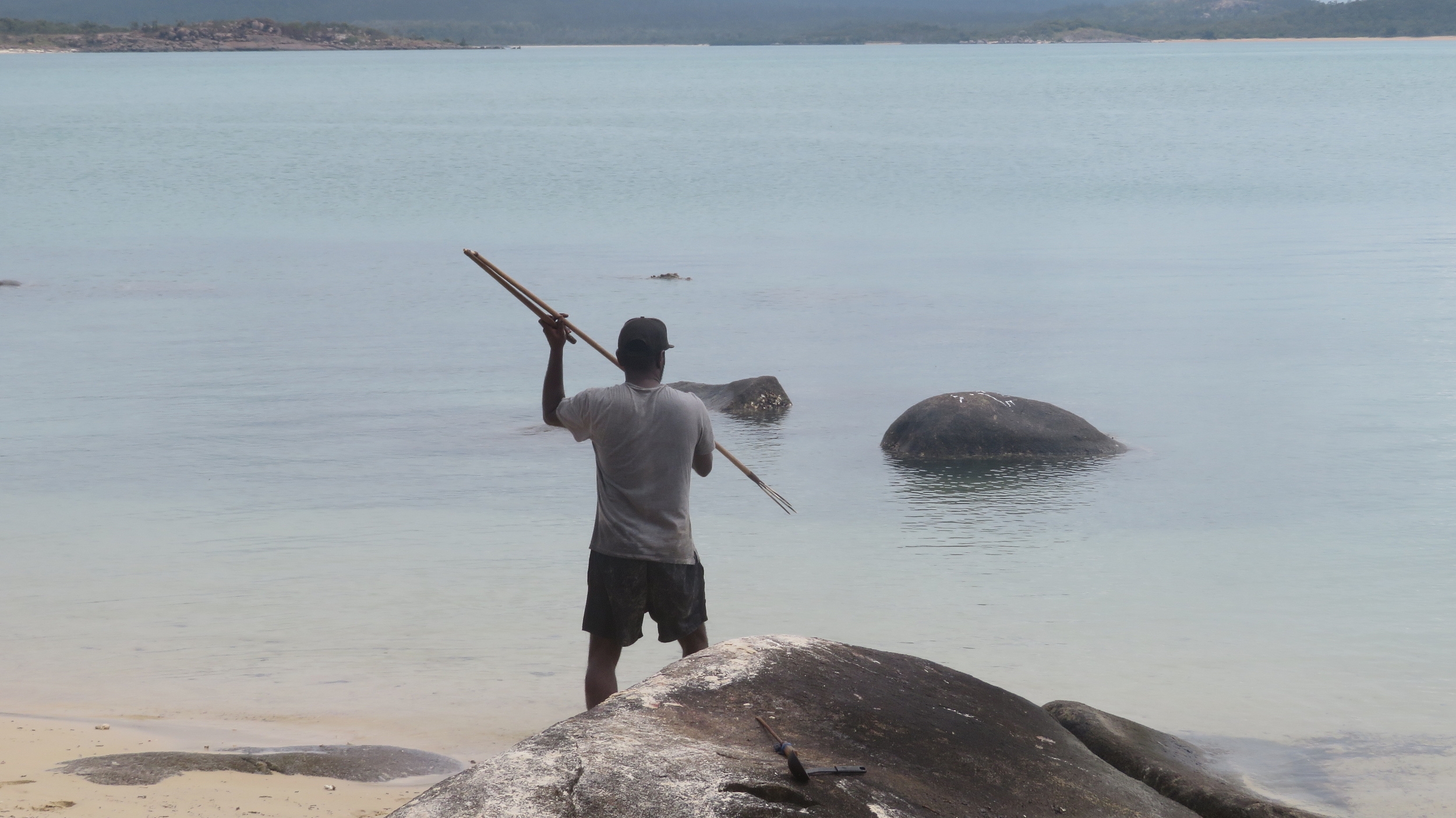
After lunch Neill took us along tracks on the escarpment or down on the beach exploring towards the Cape.
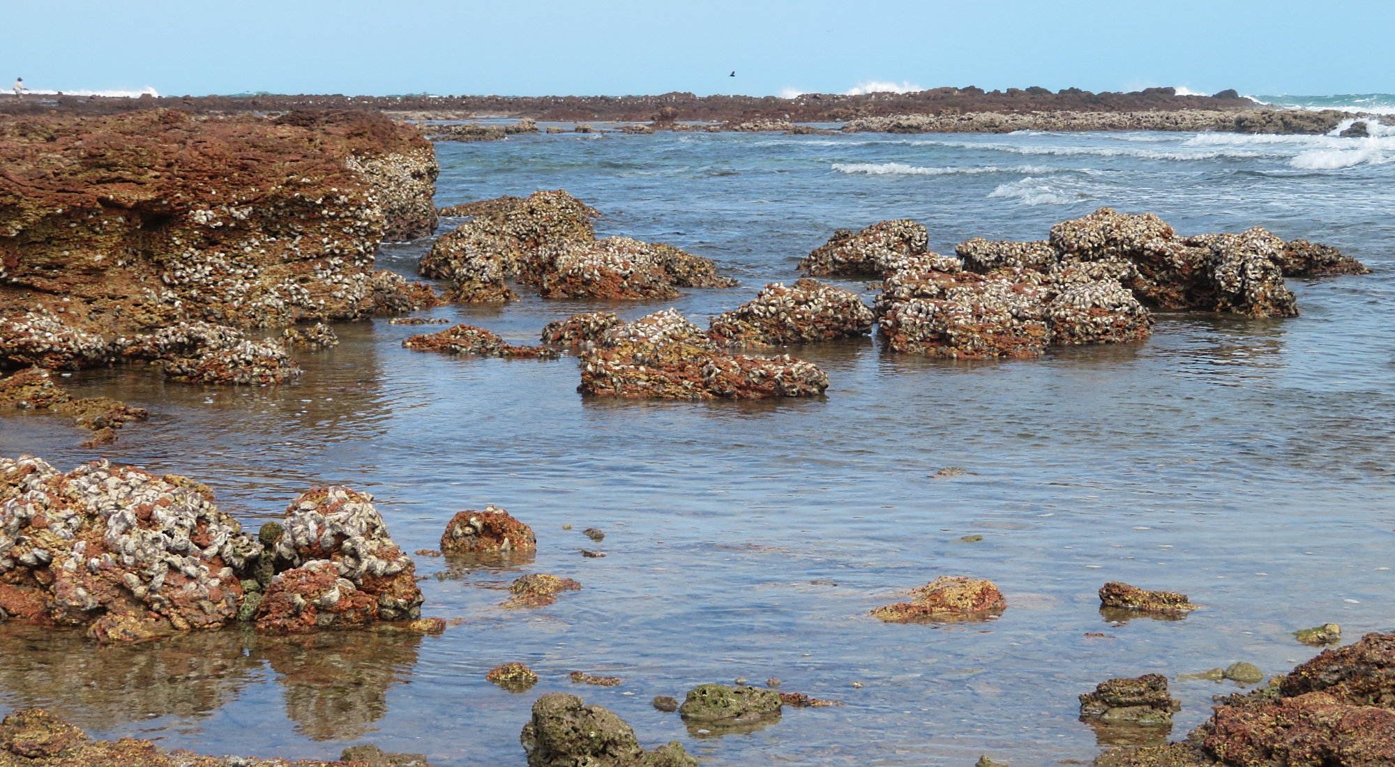
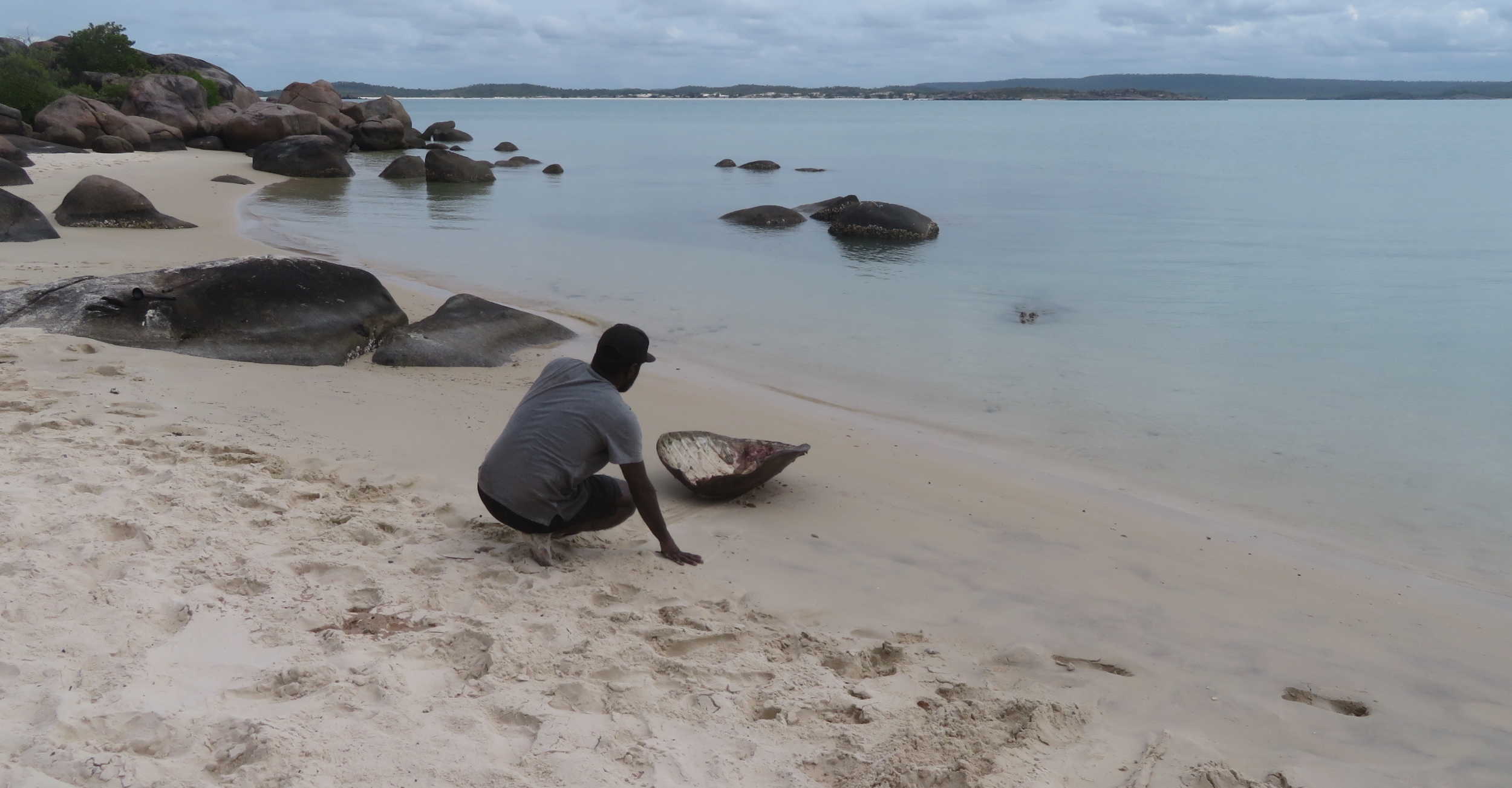
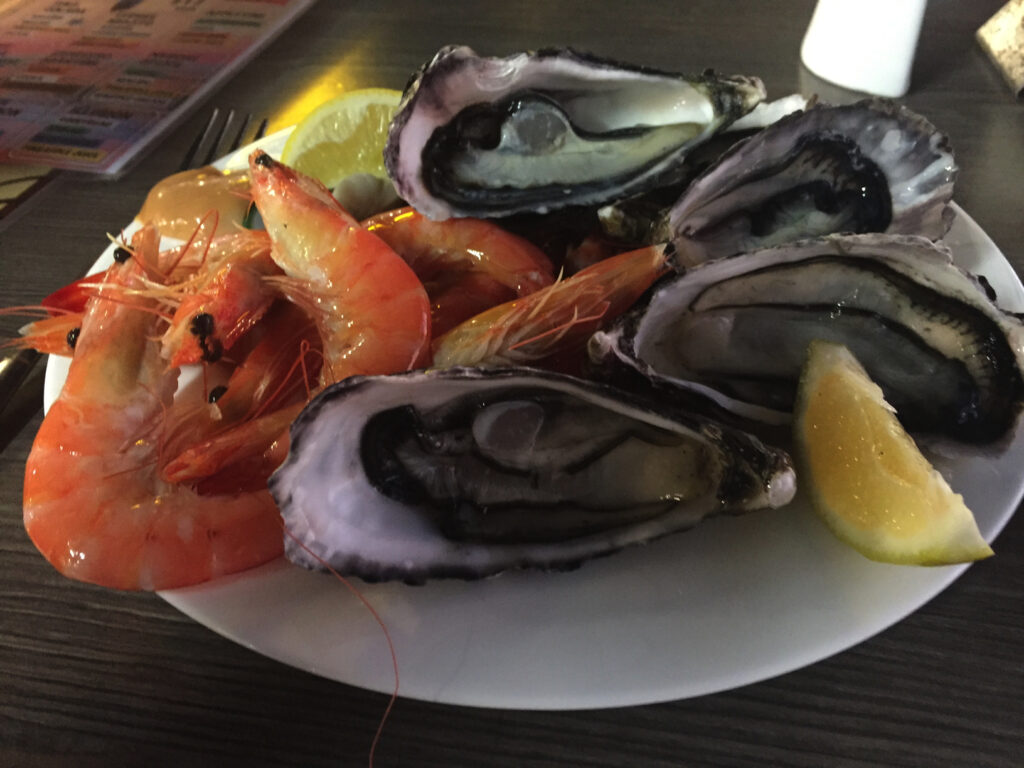
Oysters, oysters, big fat juicy oysters! Yes I did sample some of these, with one eye looking out for a croc. Cape Arnhem.
Neill gave us the good guff on sand driving, and we had plenty of opportunity to practice our skills.
Off to explore another beach of soft, white sand. Cape Arnhem
We stopped at one beach where we all did a ‘beach cleanup’ gathering 9 big bags of rubbish to take to the dump at Nhulunbuy. This beach looked stunning by the time we’d finished our clean up. Not all beaches gather rubbish – depends on aspect and where the currents run.
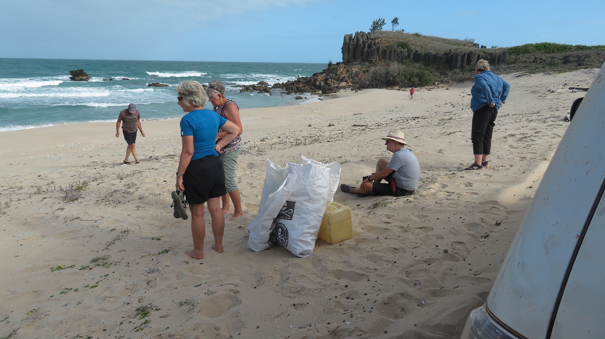
This is the beach where our group did a clean-up We ‘over-filled’ 9 of those bags with rubbish that has drifted ashore here. Cape Arnhem
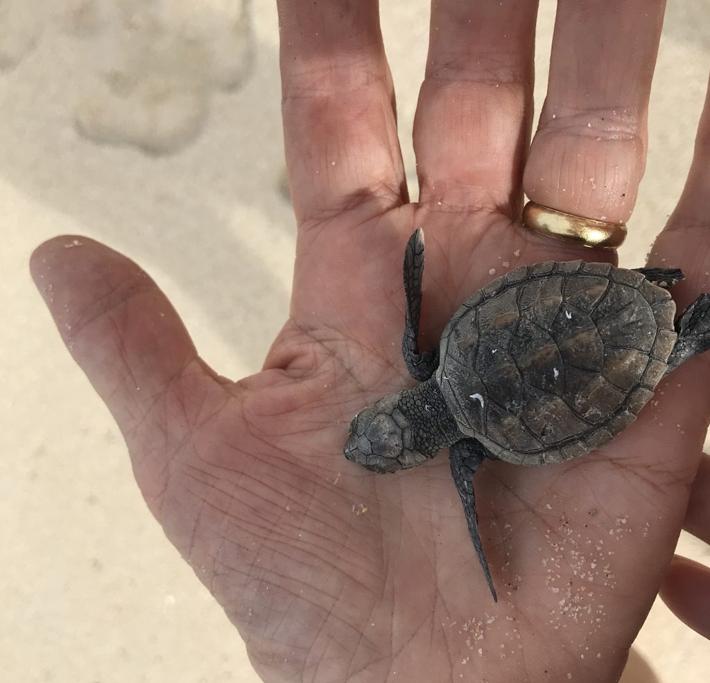
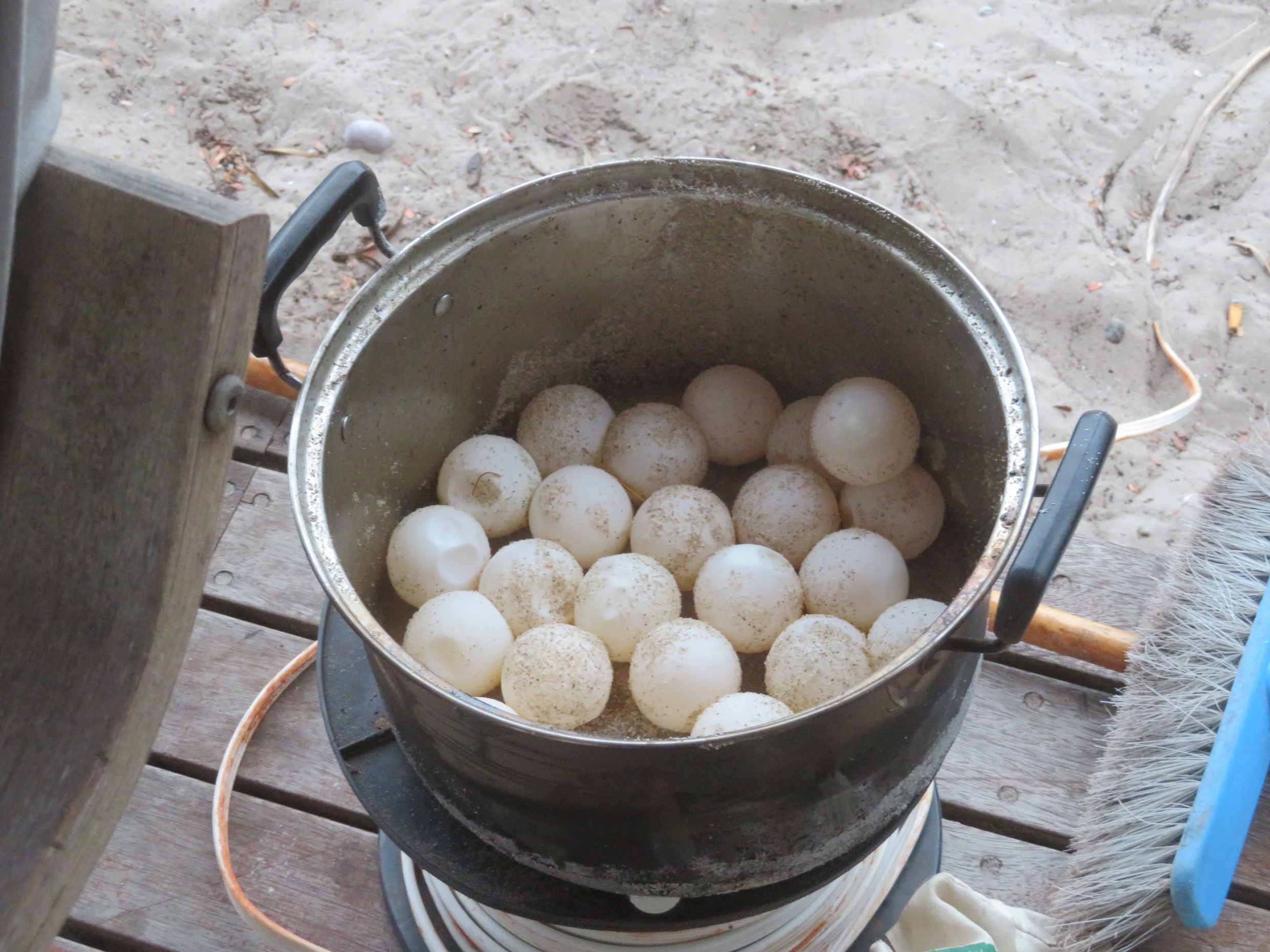
Awww. Look what I found on the beach clean-up. This little fellow was heading the wrong direction. I put her at the water’s edge and told her I’d be back in 20 years when she’s next back here laying her own eggs.
Back to camp after 104km of good fun. Dinner at Walkabout Lodge – expensive and OK.
Wednesday 14th August
Restful morning.
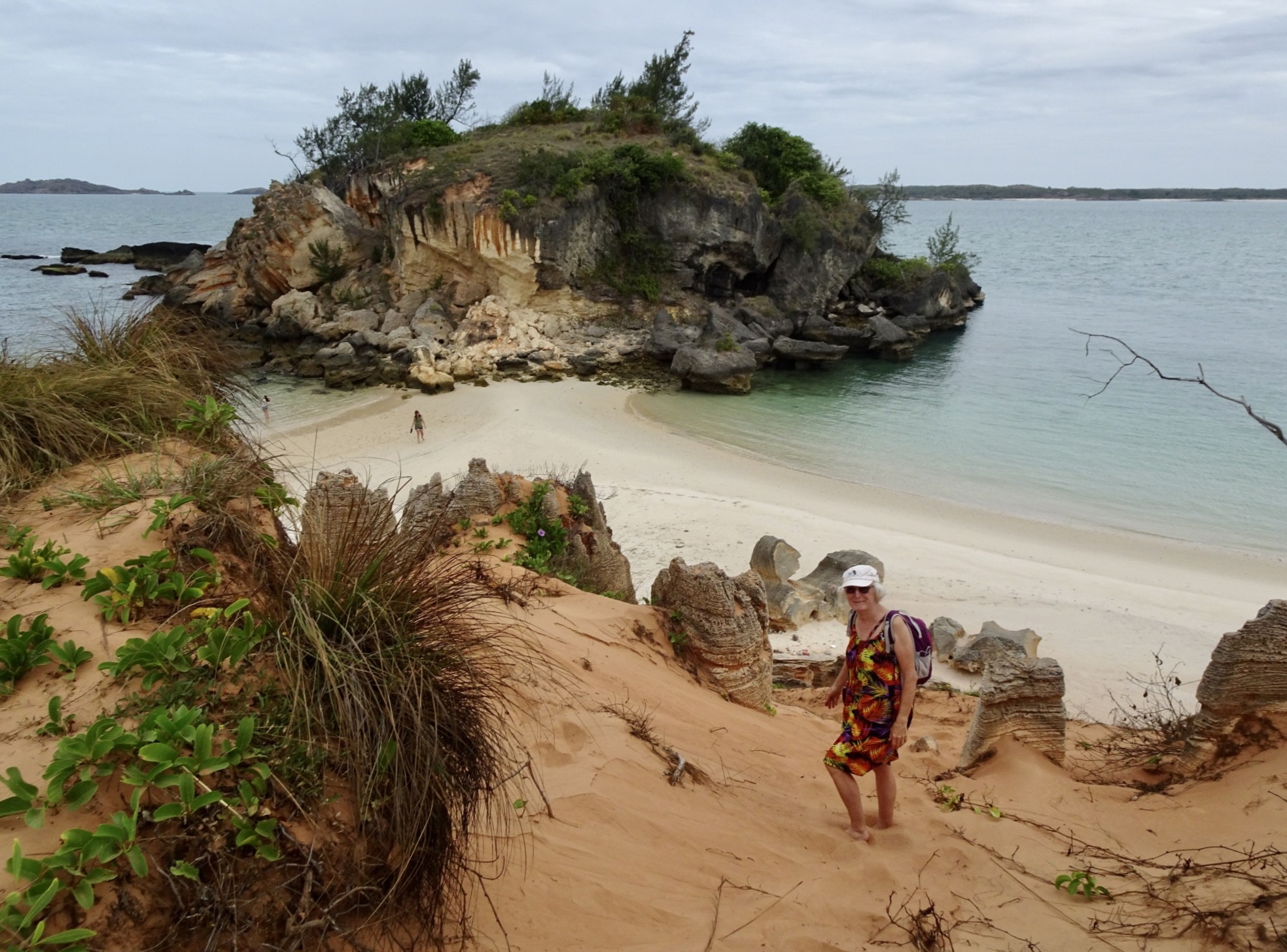
After lunch we went for a drive to Banambarrnga (Rainbow Cliffs). The exposed cliffs produce a striking effect from the weathering of the beautiful whites, yellows and red ochres. The top of the cliffs is a sacred site. We spent an enjoyable time exploring this beach, the little tidal creek which exits here and viewing the cliffs.
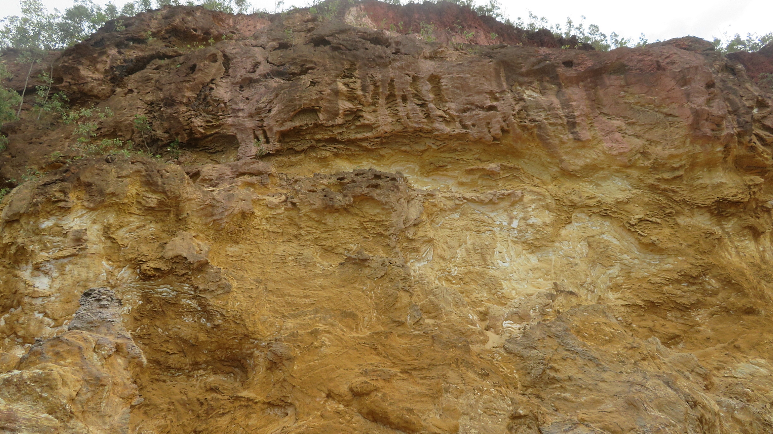
Rainbow Cliffs – beautifully shaded ochres.
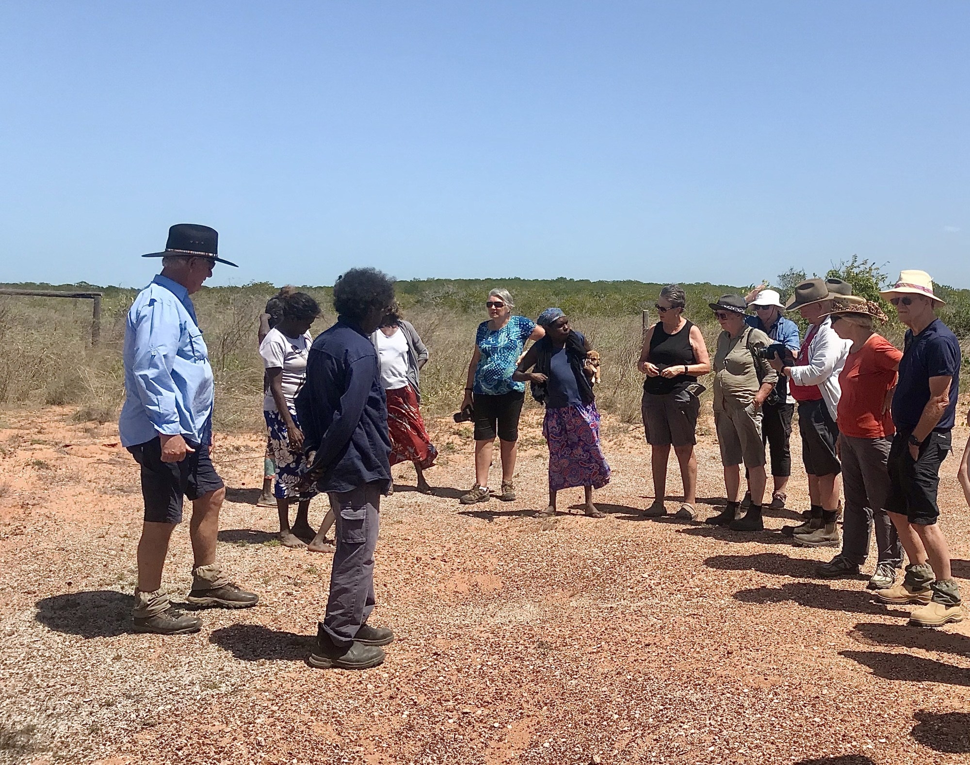
Back at Nhulunbuy, John, a long-time resident, the owner of Walkabout Lodge and a ‘mover and shaker’ in the town, took us for a drive around town, telling us about its development and the challenges it is currently facing. We started at the Lookout where we had wonderful views out over the town.
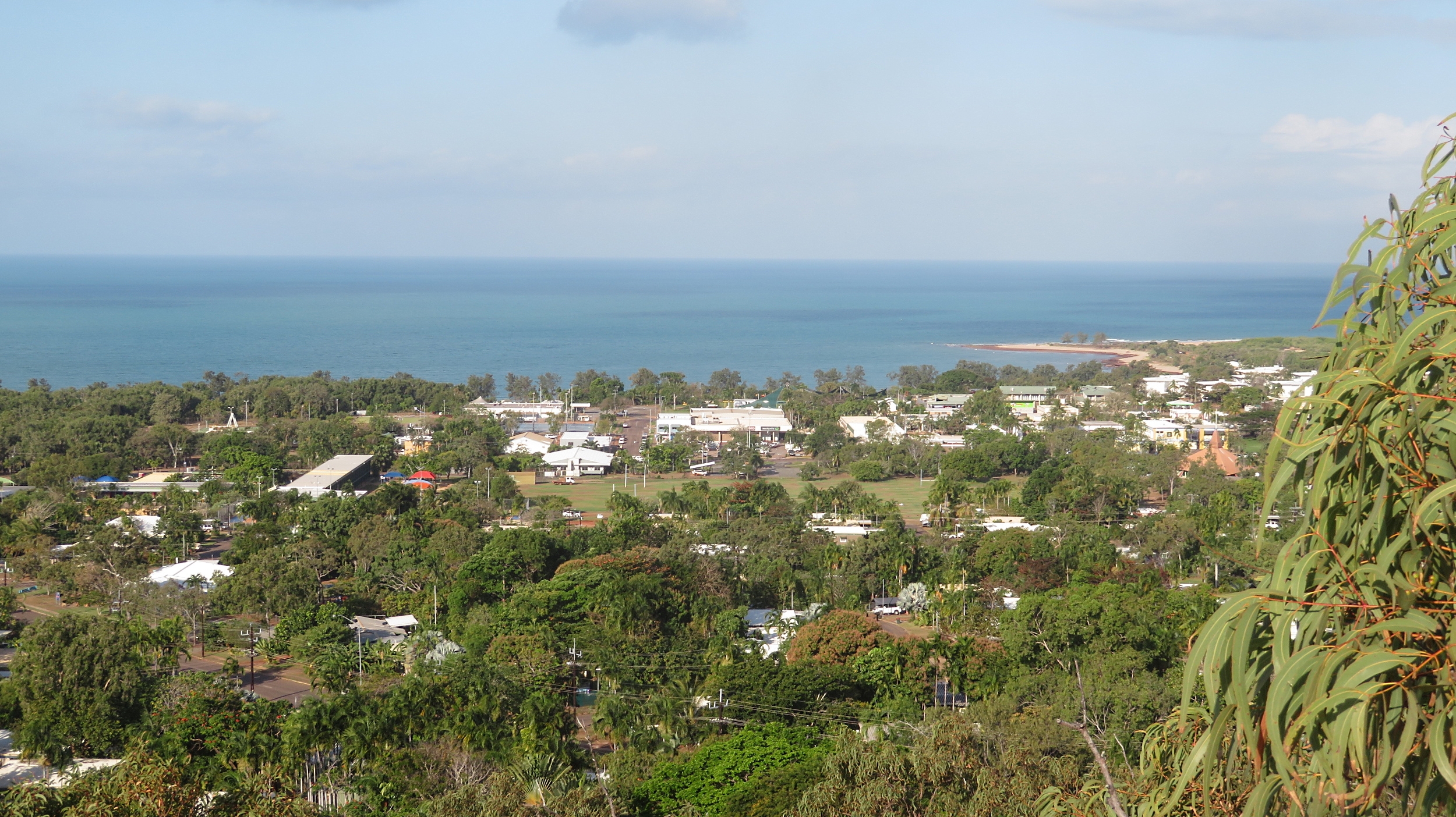
Nhulunbuy from the Lookout.
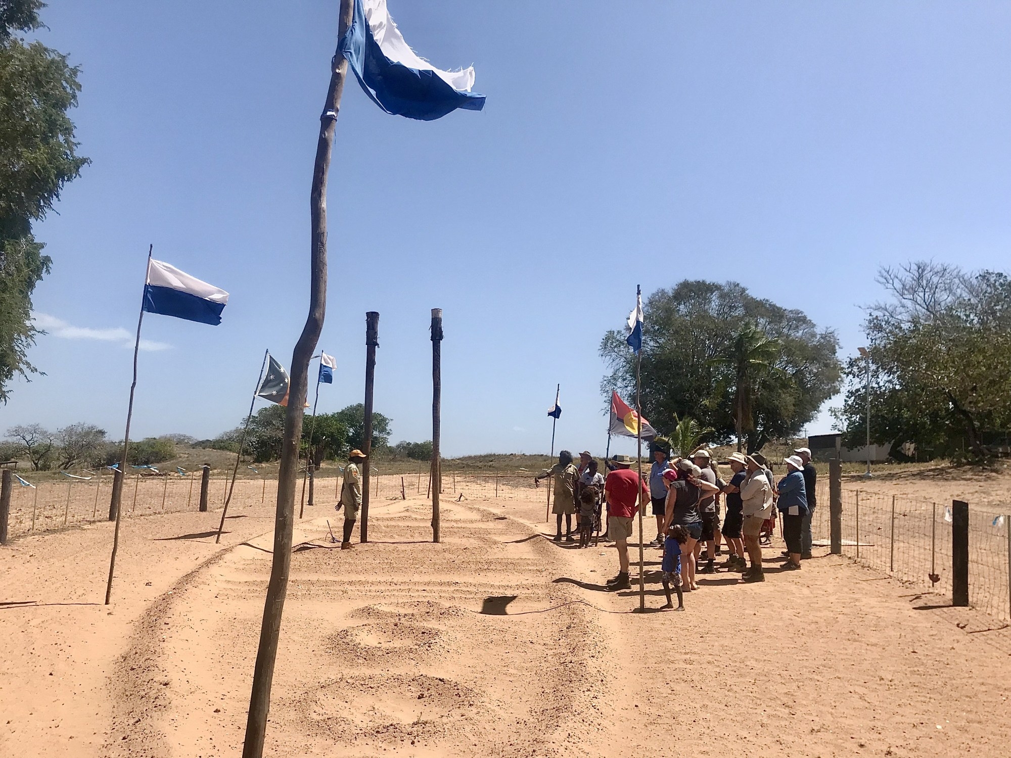
Nhulunbuy (also sometimes referred to as Gove) is a Yolgnu word meaning ‘honey man’ and is a very remote town by any standards, (over 700km by 4×4 vehicle, a tiny airport or an occasional boat being the only access). It came into being in 1963 when the Federal government approved a bauxite mine and a town was formed to house the workers. The Yolgnu people strongly opposed the mine and presented a bark petition to the Federal Government, obviously unsuccessfully. This petition is on display in Canberra (not sure how I feel about that – a continuing slap in the face to the indigenous people I think).
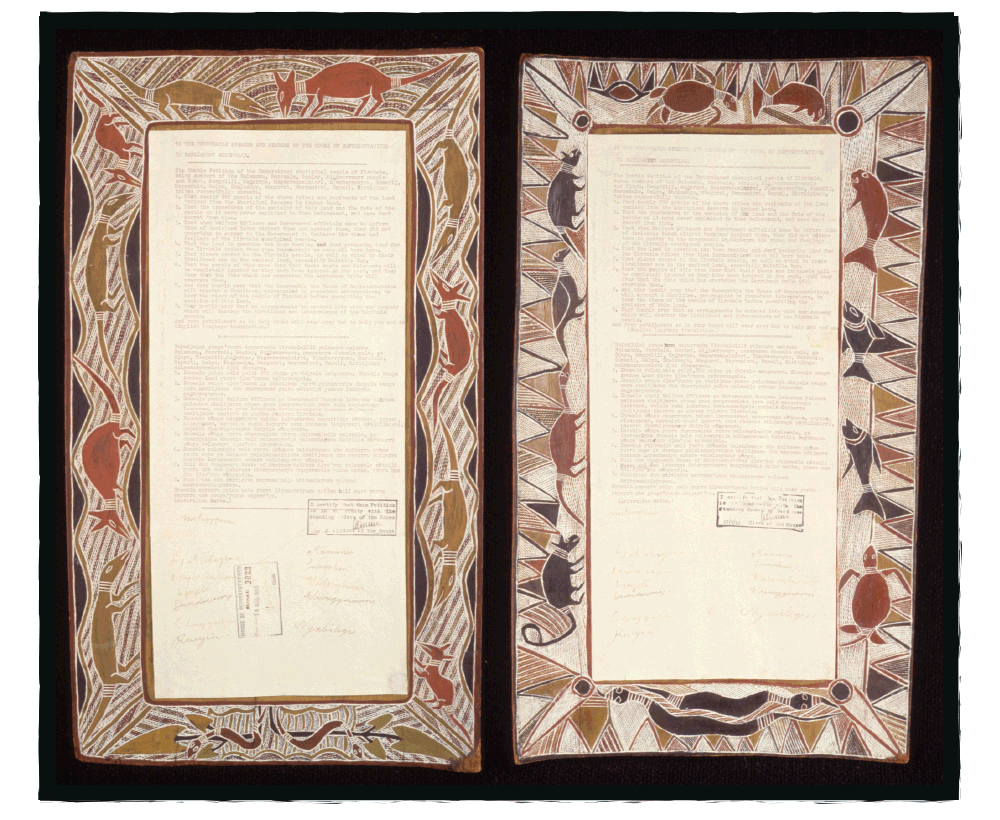
This is the Yirrkala Bark Petition which is on display in Parliament House in Canberra. The bark petitions asserted that the Yolngu people owned the land and protested the Commonwealth’s granting of mining rights of land excised from the Arnhem Aboriginal Land reserve. They asked that no arrangements be entered into with any company which will destroy the livelihood and independence of the Yirrkala people. And so this became the first formal claim for native title. It failed. In 1971 it was taken to the Supreme Court where the judge used the notion of terra nullius to justify this ruling. Photo Wikicommons
We drove through town, which has restaurants, schools, a hospital (that our business cooperated with when we ran the GOLD conferences back in our history) and a good shopping precinct – oh and a bakery! We headed north out of town to the port where the refinery is. The bauxite refinery closed in 2014 with a loss of over 1000 jobs – a huge loss to the town. Bauxite is still mined here and transported via ships for overseas processing. A new refinery had been built at great expense, however before it processed any bauxite it was closed. It’s still here, in pristine condition.
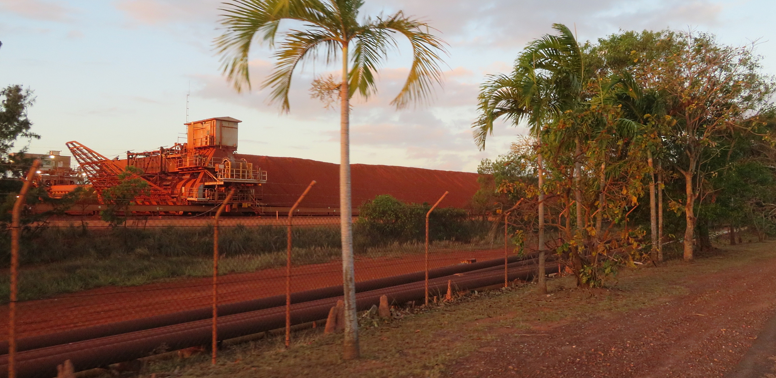
Bauxite stockpile awaiting shipment for processing overseas.
Just this year an area outside Nhulunbuy has been chosen as a rocket launch site by NASA. Being this close to the equator apparently the earth spins a bit faster, so you get an extra boost to your rocket, using less fuel. Who knew? Locals don’t feel it will add too many jobs for the locals though – time will tell.
Thursday 15th August
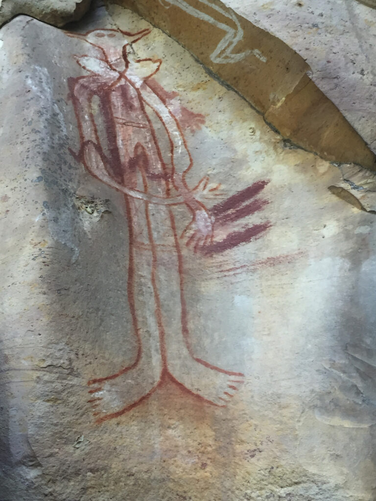
Today was a fabulous day starting in Yirrkala, the small indigenous community just south of Nhulunbuy. The amazing Buku-Larrŋgay Mulka Centre is located here. It started in the 1960s by an artist who exhibited his own art from a shelter on the beach, and from this it has grown to what it is today consisting of two divisions; the Buku Art Centre which represents Yolŋu artists exhibiting and selling contemporary art and The Mulka Project which acts as a digital production studio and archiving centre incorporating the museum.
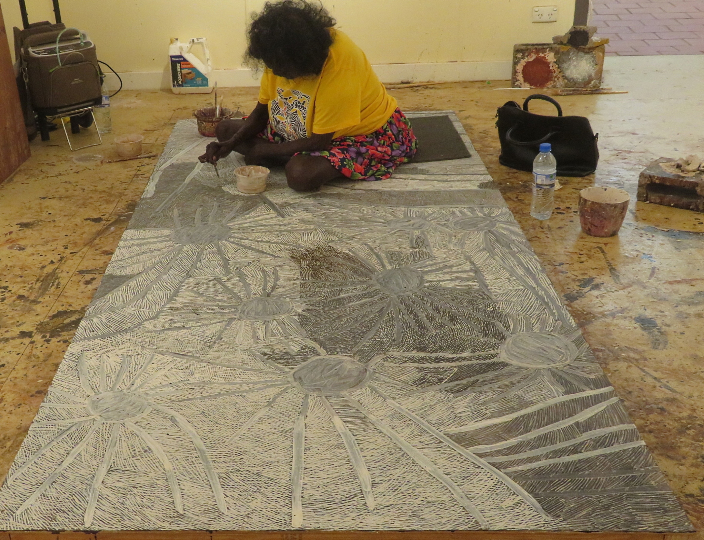
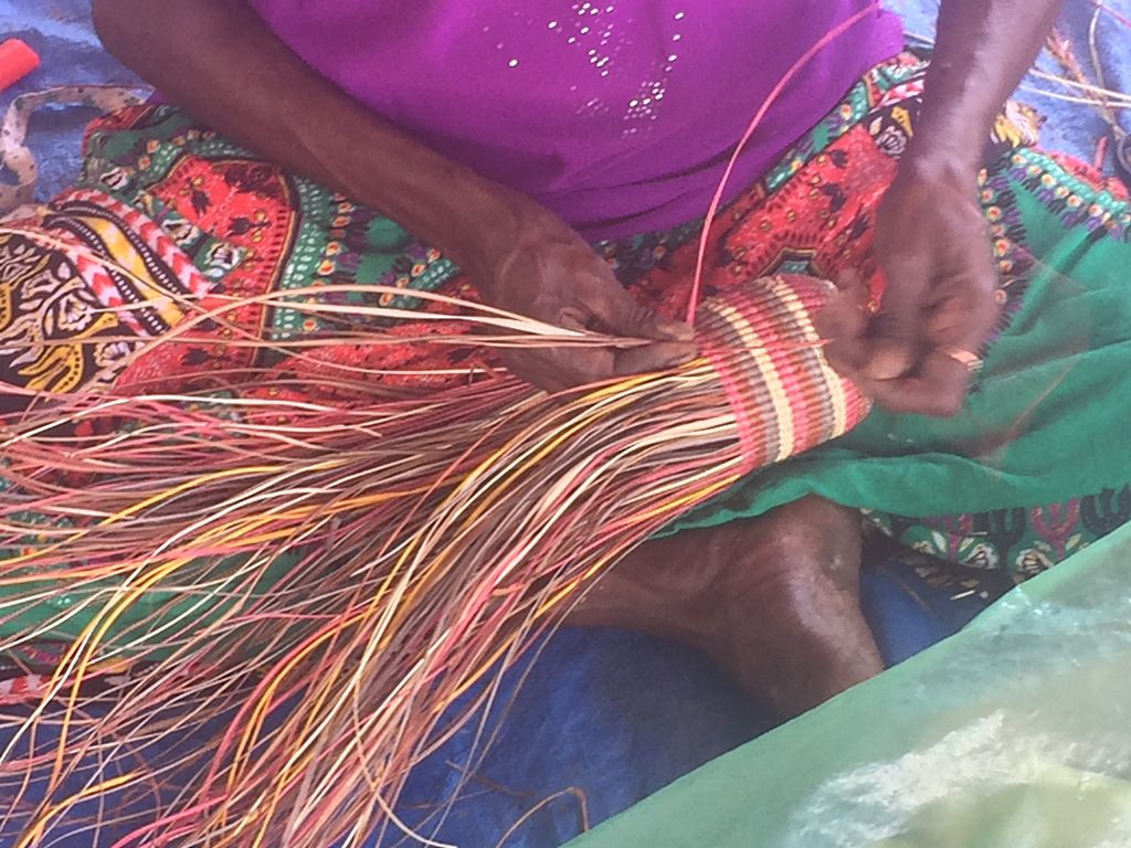
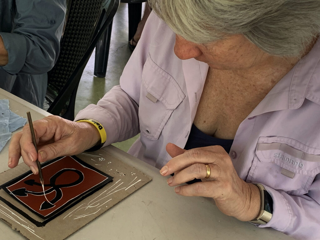
Nyapanyapa Yunupiŋu, quite a famous artist, at work on her latest creation. Look closely at the fine lines that form the picture. Buku Art Centre, Yirrakala.
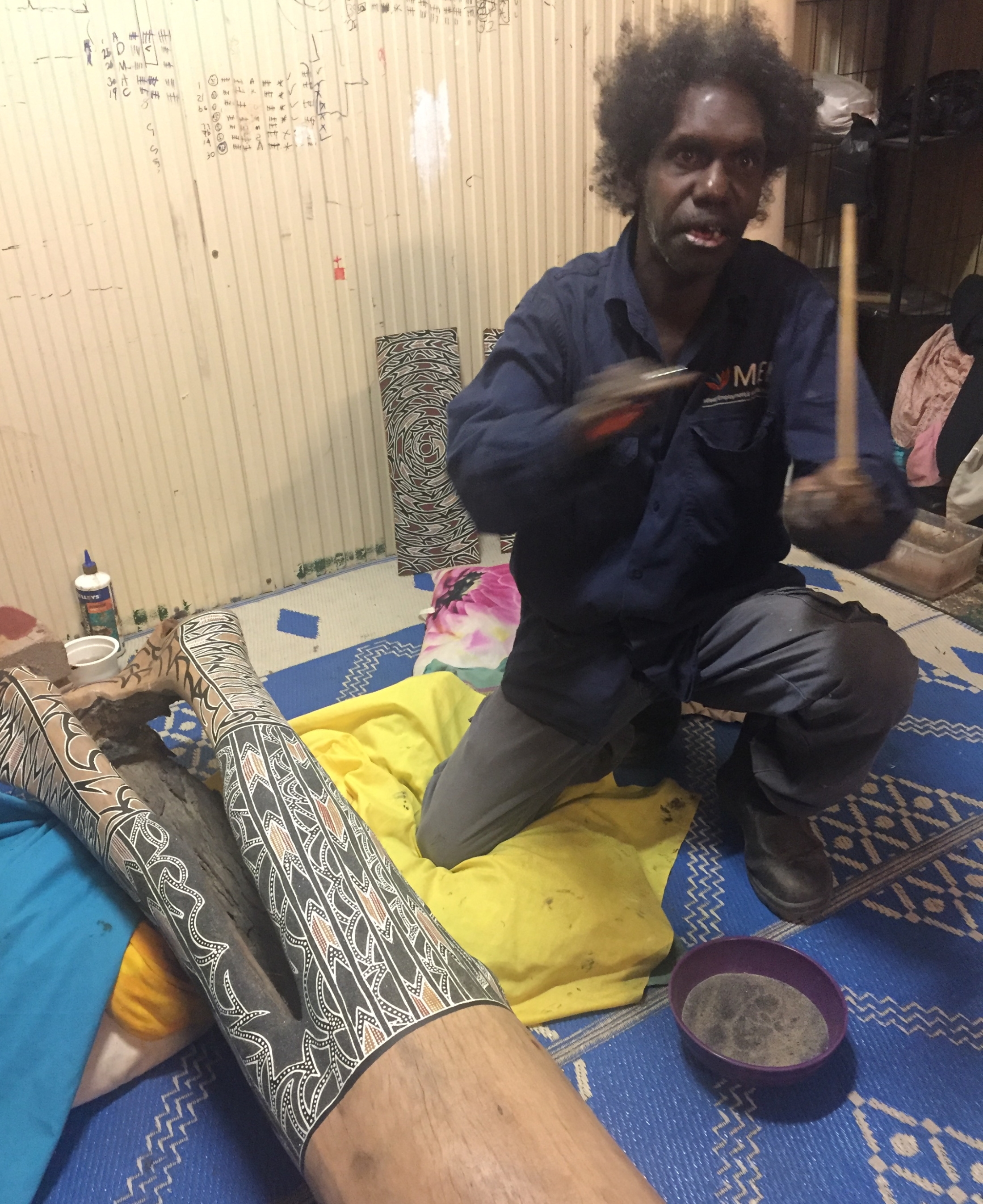
We couldn’t get over the amazing art – so talented and so intricate. There were many, many pieces of art we’d have loved to have bought. Most impressive in my mind were the many ḻarrakitj. Ḻarrakitj are memorial poles. In time past they held the bones of the dead and formed an important part of funeral rites. Today Yolŋu continue their cultural tradition painting hollow stringybark branches and selling their art (minus the human remains!), reviving and disseminating the beliefs of their ancestors. On one of our drives we saw a roadside memorial with a ḻarrakitj marking the place of a fatal road accident, much as our culture marks such roadside tragedies with a cross.
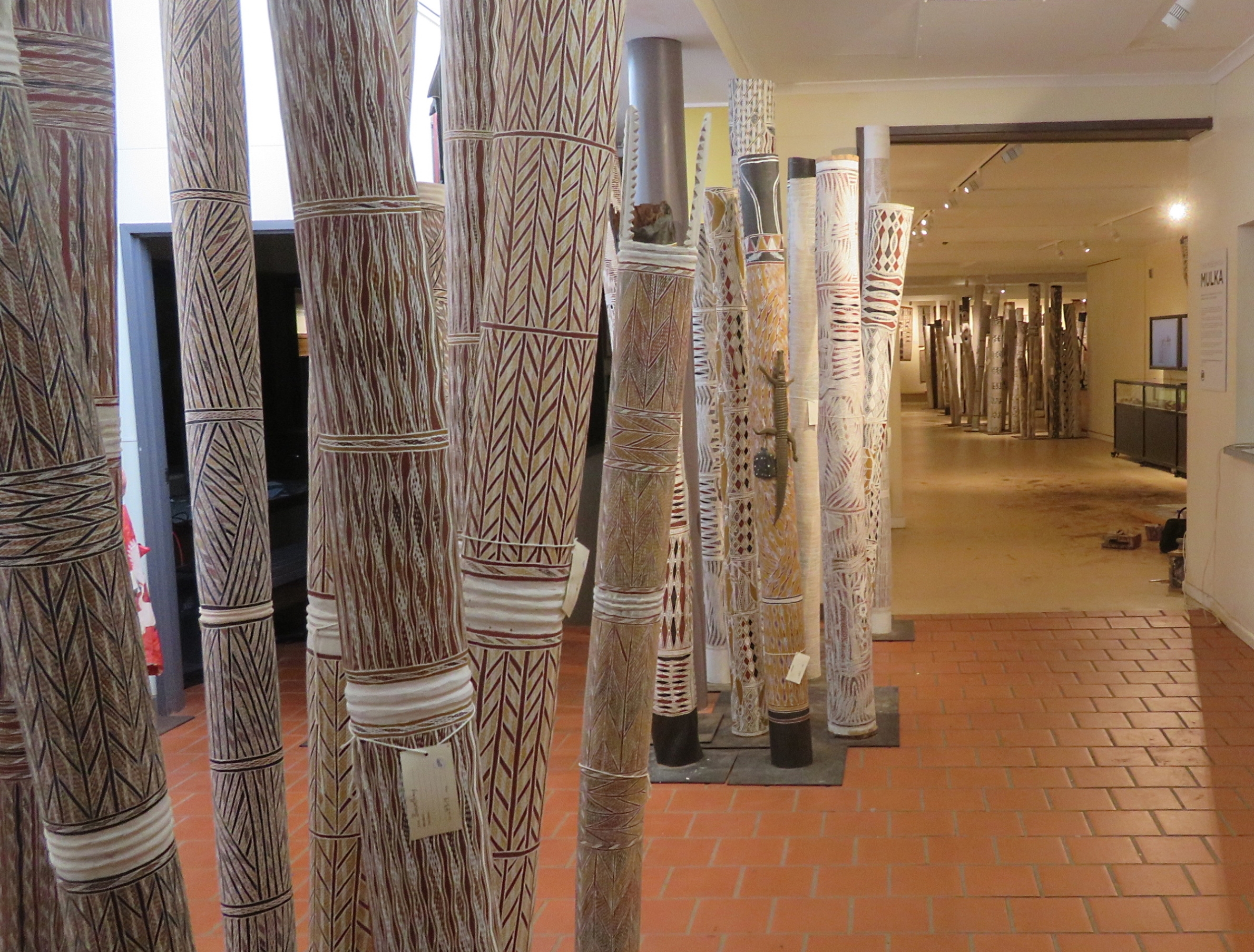
Some of the larrikitj, with others in the background in the Buku Art Centre, Yirrakala.
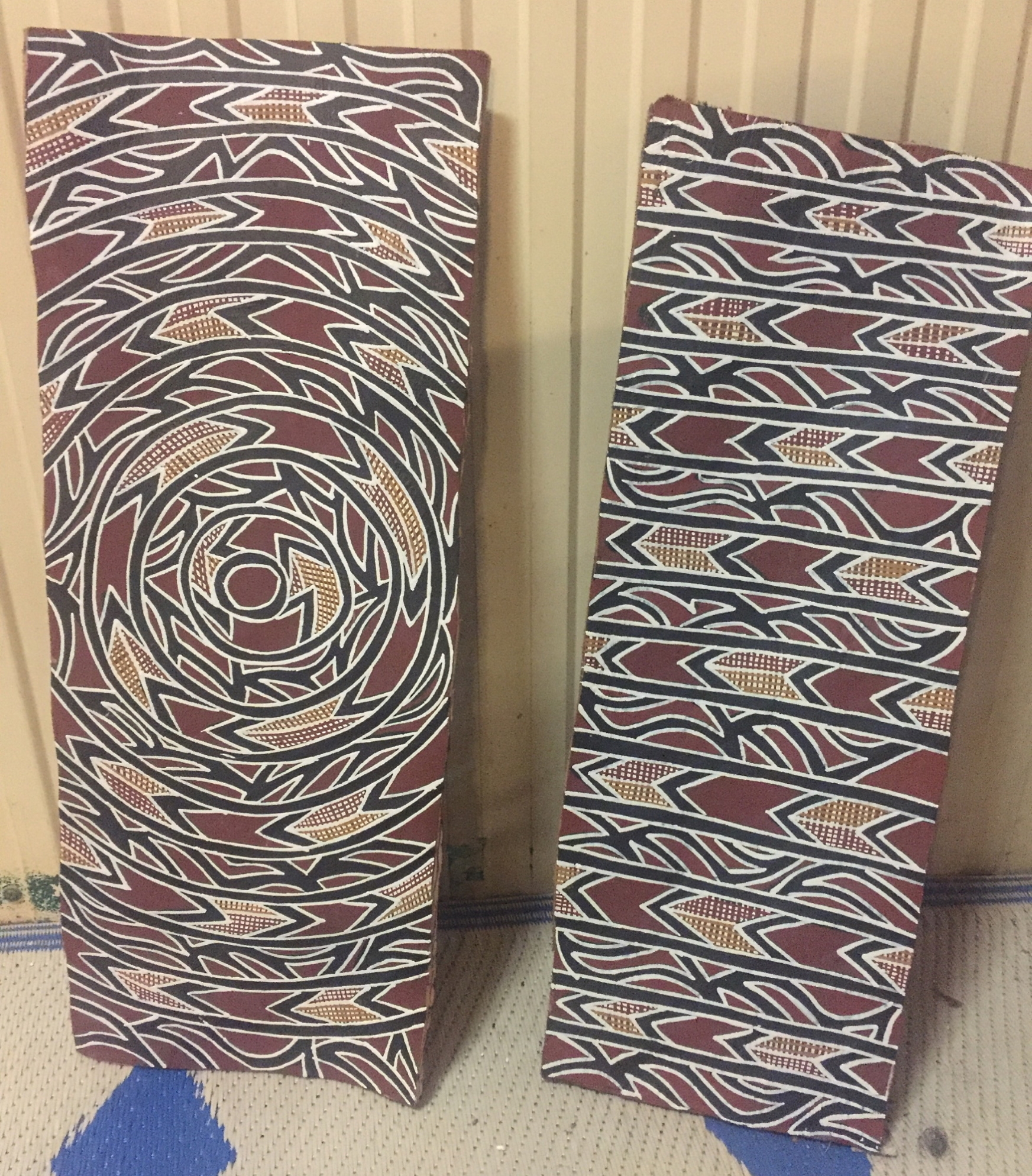
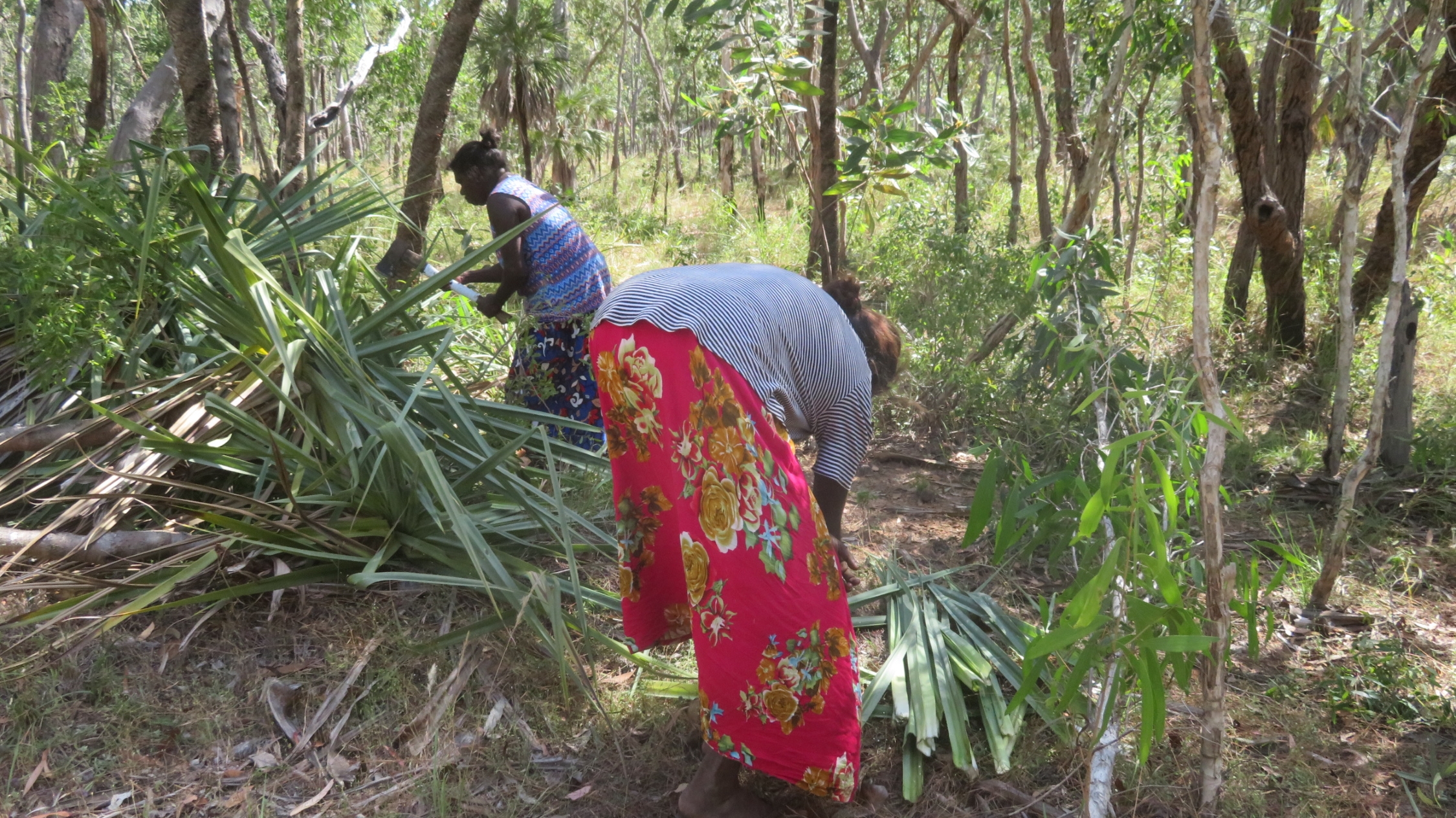
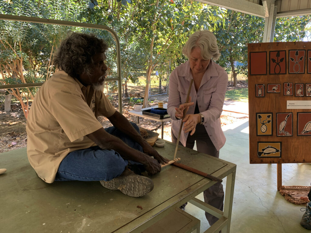
Every now and then while driving we’d come across a stringybark tree where a couple of metres of bark had been removed. Neill joked these were dingo trees (ie no bark – ha, ha, ha!) The bark that was removed is cured by fire, weighted and left to dry. Using locally sourced ochres traditional designs are painted onto the bark; each unique, very fine, cross-hatched pattern reflecting knowledge belonging to a particular estate, clan, state of water, moiety and place.
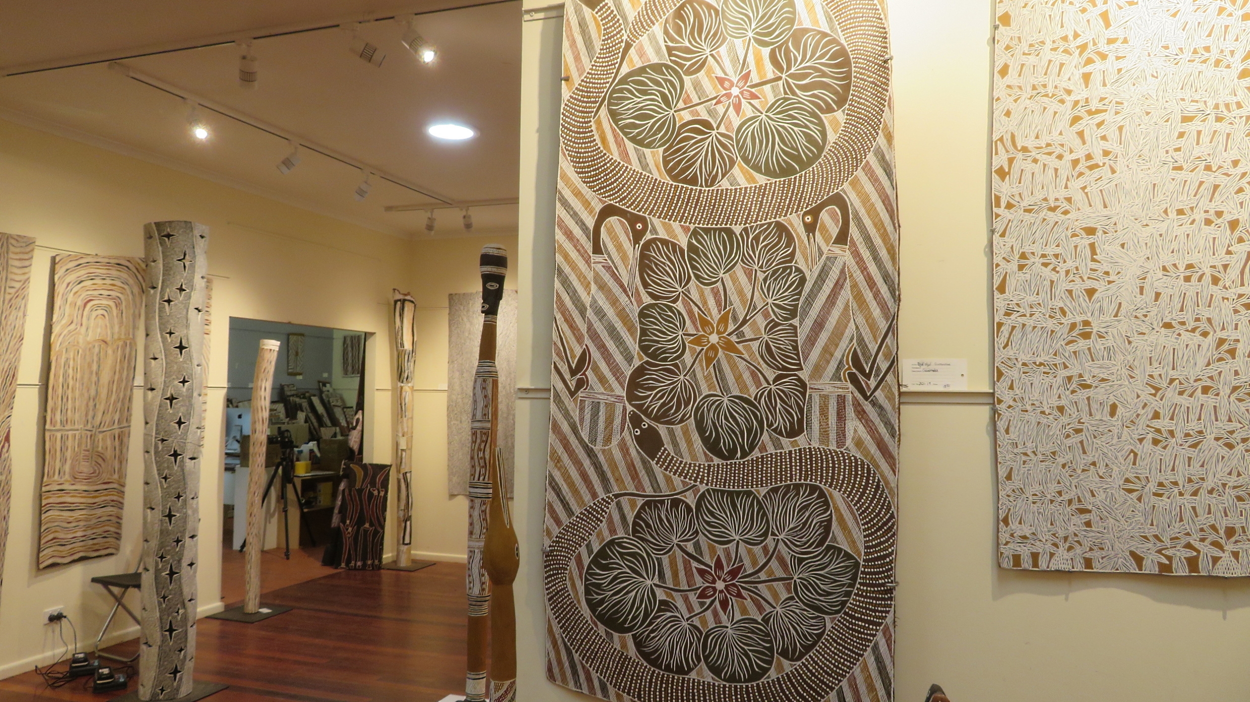
Highlighted in the middle of this photograph is one of the bark paintings (ie artwork done on a piece of bark). Exquisite! Buku Art Centre, Yirrakala
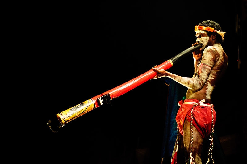
Yiḏaki is the correct term for what we call a didgeridoo. Prior to European colonisation yiḏaki were only found in northern Australia, in particular Arnhem Land. Today this term is only permitted to be used when the instuments have been made and decorated solely by Yolŋu people. Finding a naturally occuring termite-hollowed stringybark tree is the first step in making this unique wind instrument. According to sources at Yirrkala all other similar instruments should be called didgeridoos, unless they are made by an Aboriginal person and called by their local Aboriginal name for the instrument. And yes, there were many beautifully made and decorated yiḏaki on display.
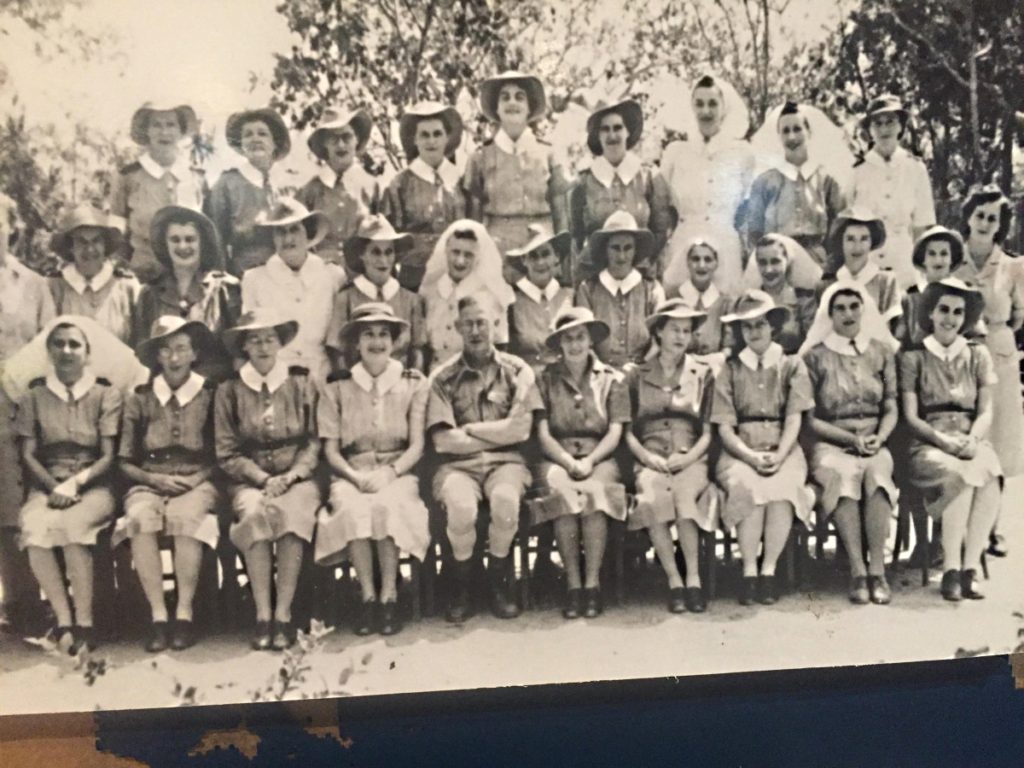
In the museum Andrew, one of the curators, took us to see beautiful old pieces of art and photographs made by the anthopologist Donald Thompson in the 1920s – all fascinating and his descriptions wonderful.
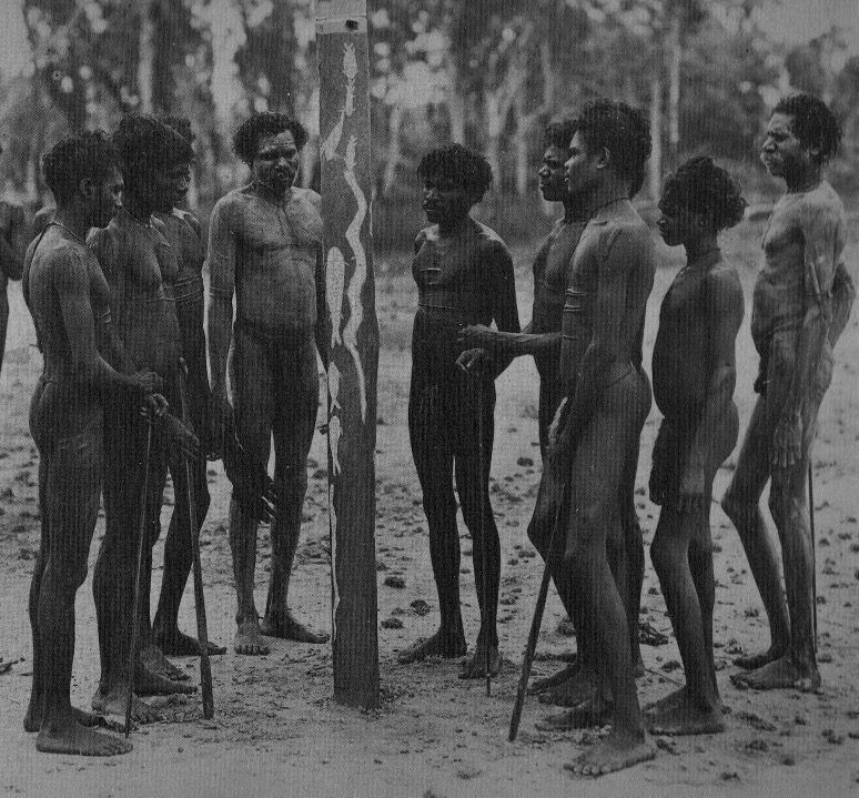
A Donald Thompson photograph taken in 1936. These tall, strong, healthy men are preparing a ḻarrakitj for the remaining bones of a clan member who had been interred (either in a shallow grave, or a burial platform) some time ago. The ḻarrakitj is painted with sacred designs of the deceased’s lineage.
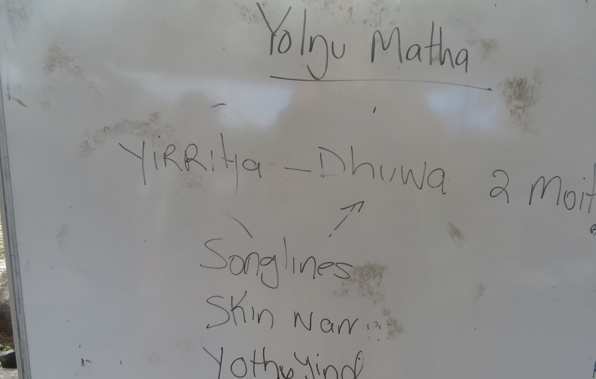
But the most striking artwork in the museum are the two Church Panels. Each Church Panel is on masonite sheeting twelve feet tall and four feet wide. Yolŋu society is divided into two moieties—Dhuwa and Yirritja—and so too are the Church Panels. These panels, created by the elders of these moieties in 1962/63 were for display on either side of the alter in the new Methodist Church. There were two core reasons for their creation – firstly to introduce Yolŋu religious iconography into a Christian context to demonstrate that Yolŋu had their own sacred heritage; and a political assertion of Yolŋu sovereignty in the Yirrkala area to emphasise Yolŋu connection to land and land ownership. It was because the Federal Government annexed their land for the bauxite mine and after seeing these panels that Beazley Snr (a Federal political minister) suggested the Bark Petition – as such these Church Panels were the precursor to the first land rights claims in Australia.
Despite their intricacy, beauty, importance and sentiment, a Methodist minister had them removed from the church in 1974 (they didn’t tell the ‘right’ creation story!) and stored them, unprotected, under the eaves of the church. Four years later they were rescued by Buku-Larrŋgay Arts, but it wouldn’t be for another 10 years until the museum was built that they were once more on public display.
No trip to Arnhem Land could be considered complete without viewing the Church Panels. Their artistic beauty is notable, their message is important, but the spiritual feeling that envelops you as you sit quietly viewing these panels is extraordinary.
Reluctantly leaving, we could have spent many more hours here, we drove on to Daliwoi Bay. This camping area has a boat ramp and is at the mouth of an inlet. Great for fishing, so I’m told, but only from a boat as the crocs like this spot.
We drove on to Macassan Beach, a very pretty little tropical beach with a camping area. Here we found the story of the Macassan relationship with the Yolgnu told in stone arrangements. These were created in the 1800’s by Yolgnu to aid their oral tradition of passing on the stories of their people. A walk of a couple of hundred metres takes you past 6 stone installations each representing a facet of their history.
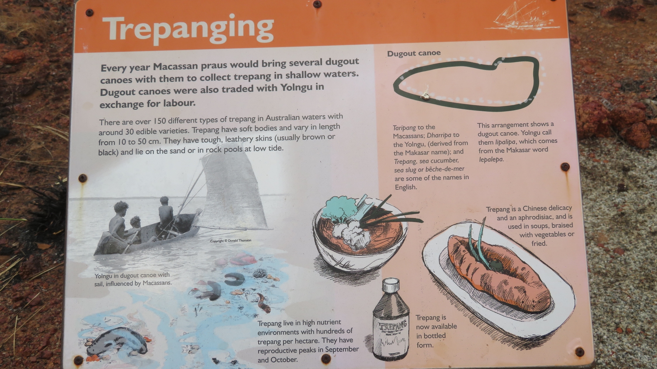
The information board describing the stone installation that represents the dugout canoes. Macassan Beach
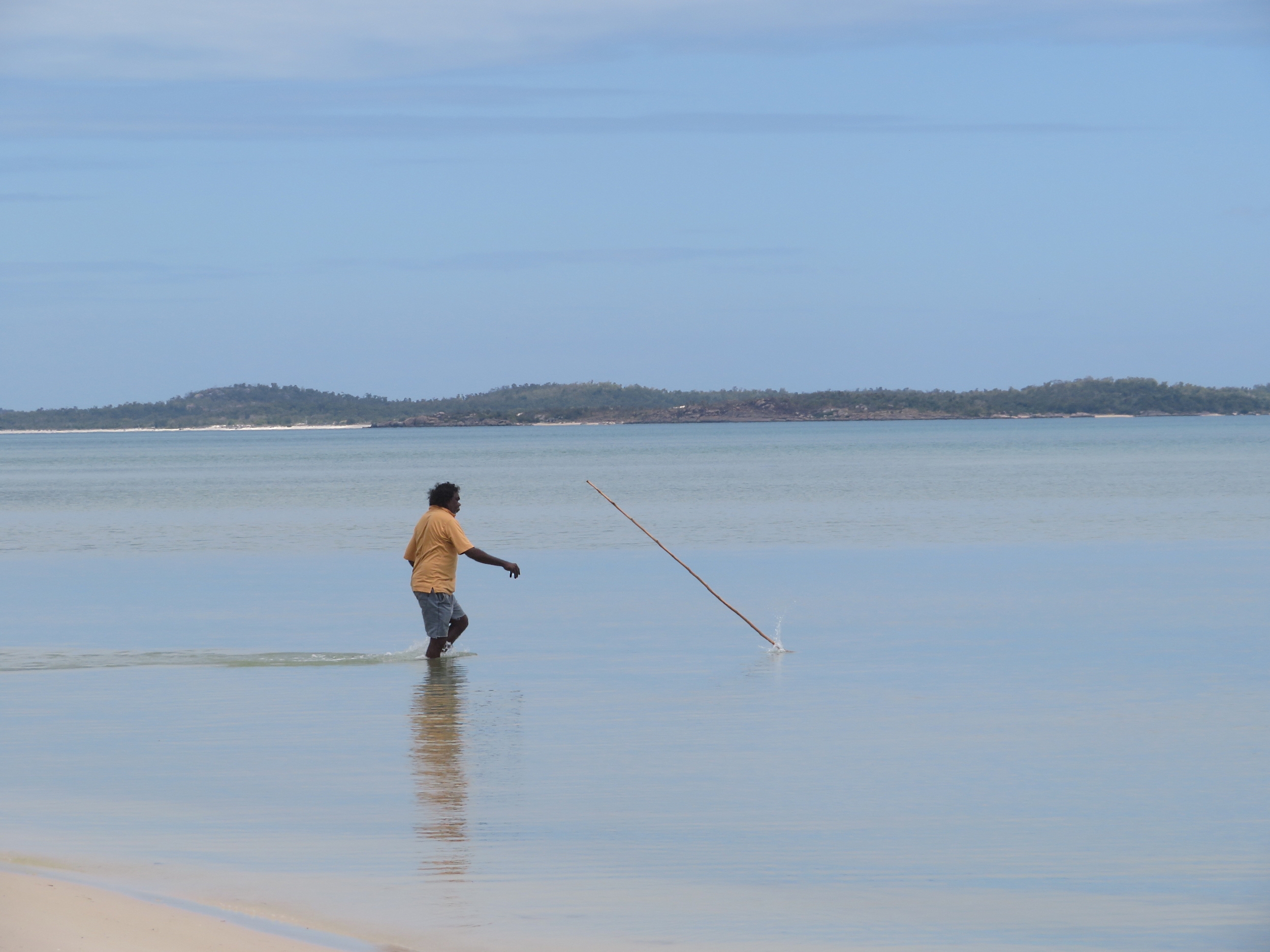
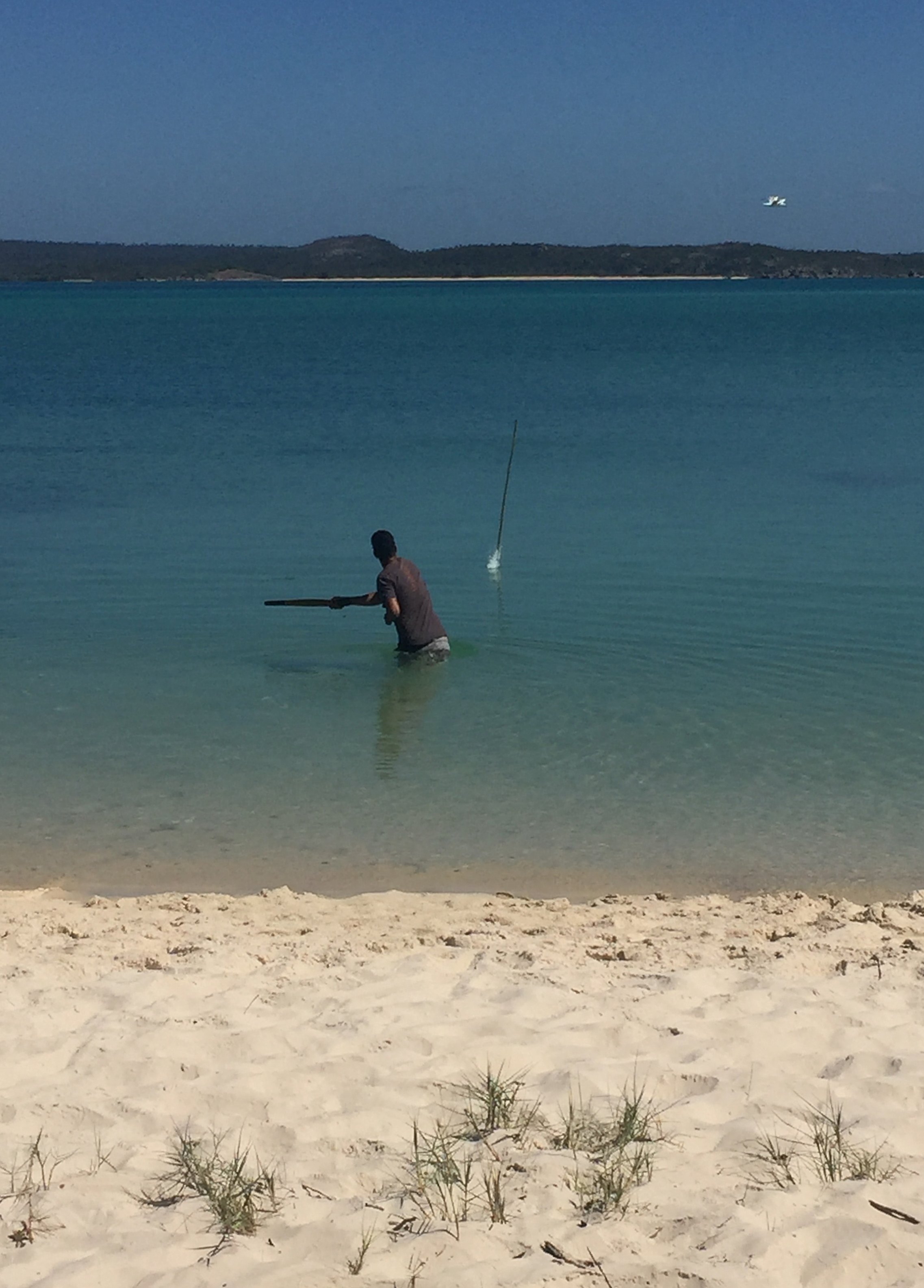
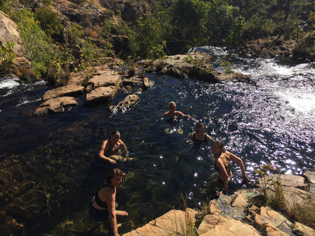
After a pleasant time spent looking at this installation and wandering the beach we headed back to the main road, then down a side road to Goanna Lagoon. What a top spot this was! There was a school group of a dozen or so young boys with their teachers who were camping here for a couple of nights. The boys were having a wonderful time, a few of them spear fishing for cherubin (yabbies). A narrow steep-sided creek has carved its way down to supply the lagoon with fresh, crystal-clear water. A delight to go for a dip on this warm afternoon.
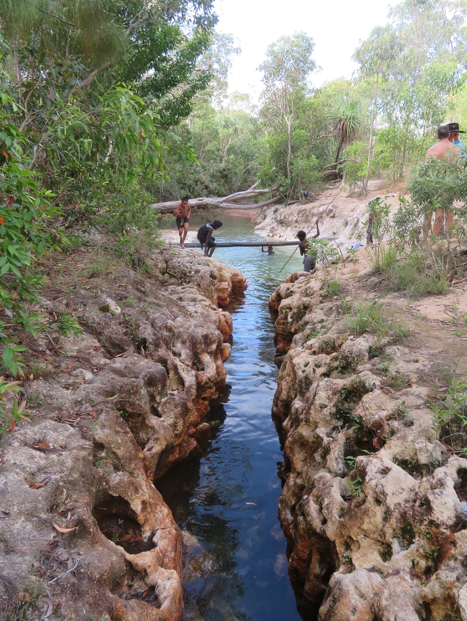
A group of school boys having fun at Goanna Lagoon. Note the boy spear-fishing.
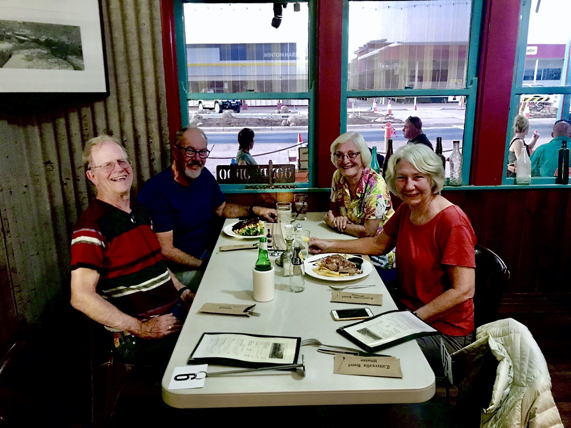
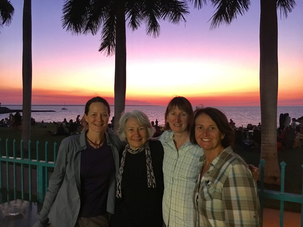
Back to camp in Nhulunbuy we spruced ourselves up ready for dinner at the Yacht Club to celebrate our last evening here.
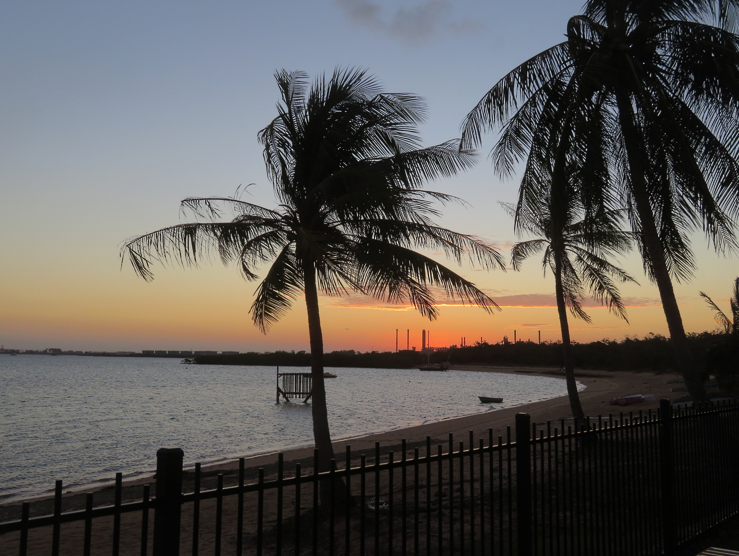
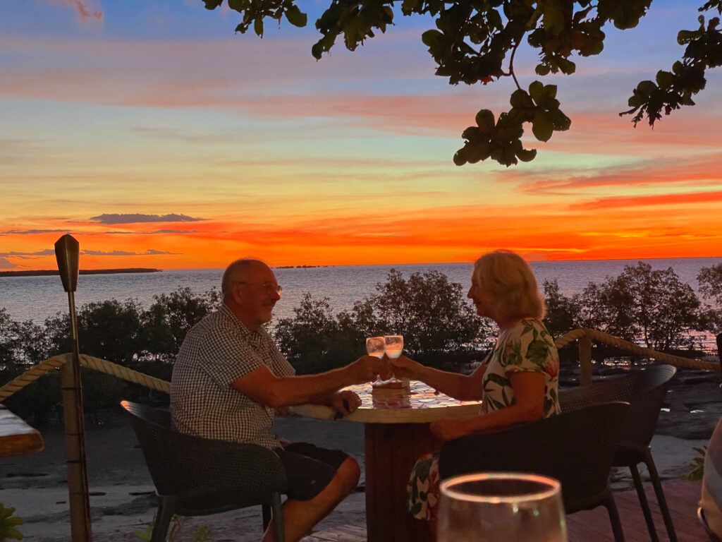
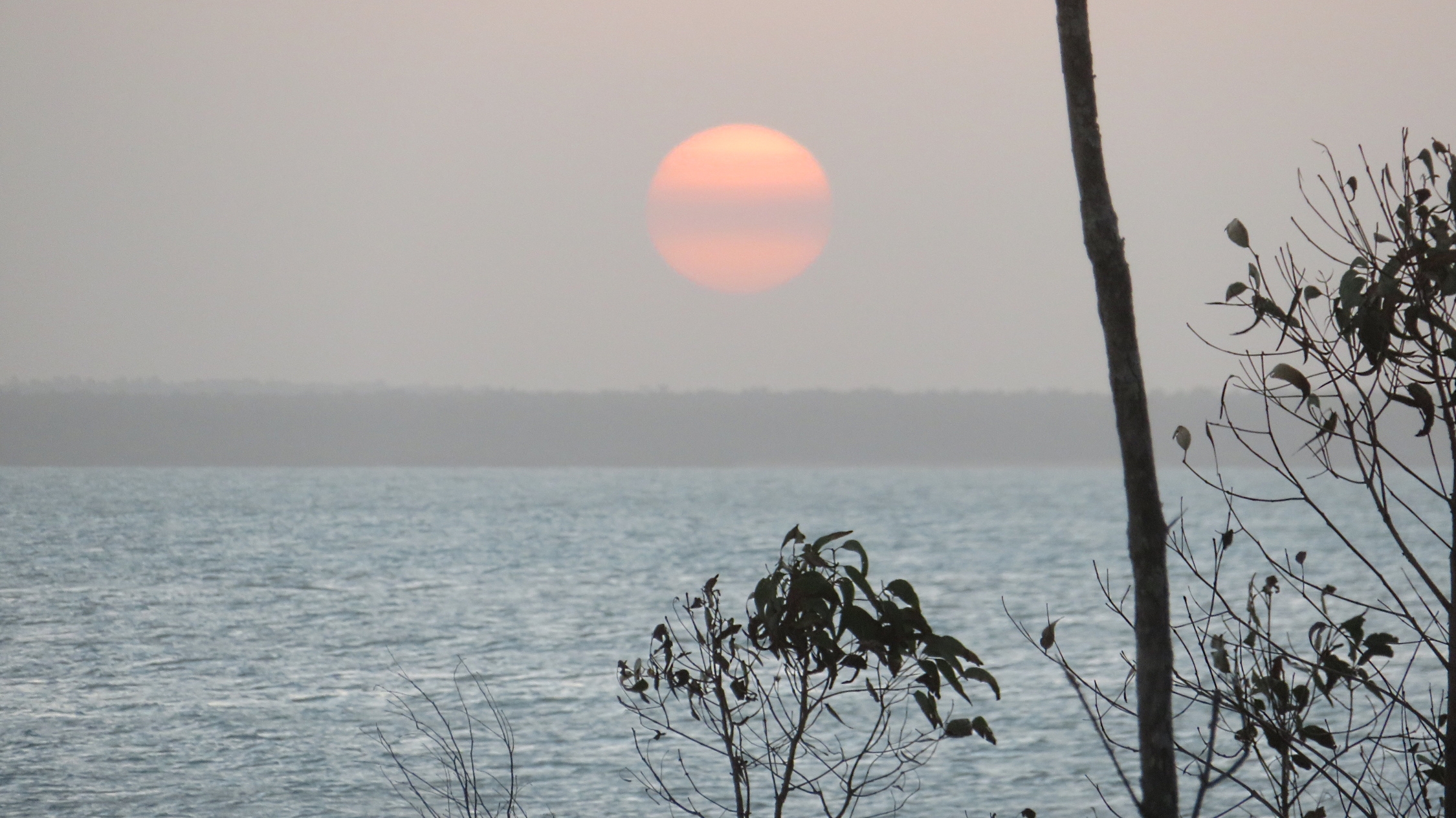
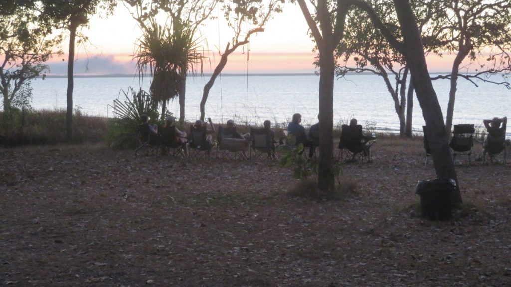
A beautiful sunset taken from the Yacht Club – bauxite processing and shipping structures in the background.
For more photos from this time spent in Arnhem Land CLICK HERE.