A Castle, Beaches, a Waterfall and Home

12th – 21st May

Just a few kilometres down the road is Mamu Tropical Skywalk. On arrival we downloaded the app then set off on the kilometre or so walk through the rainforest with the audio (from the app) telling us the story of the area, the plants, the cyclones and other interesting info.

This image has an empty alt attribute; its file name is 05_12_mamu-1024x768.jpg
At Mamu Skywalk

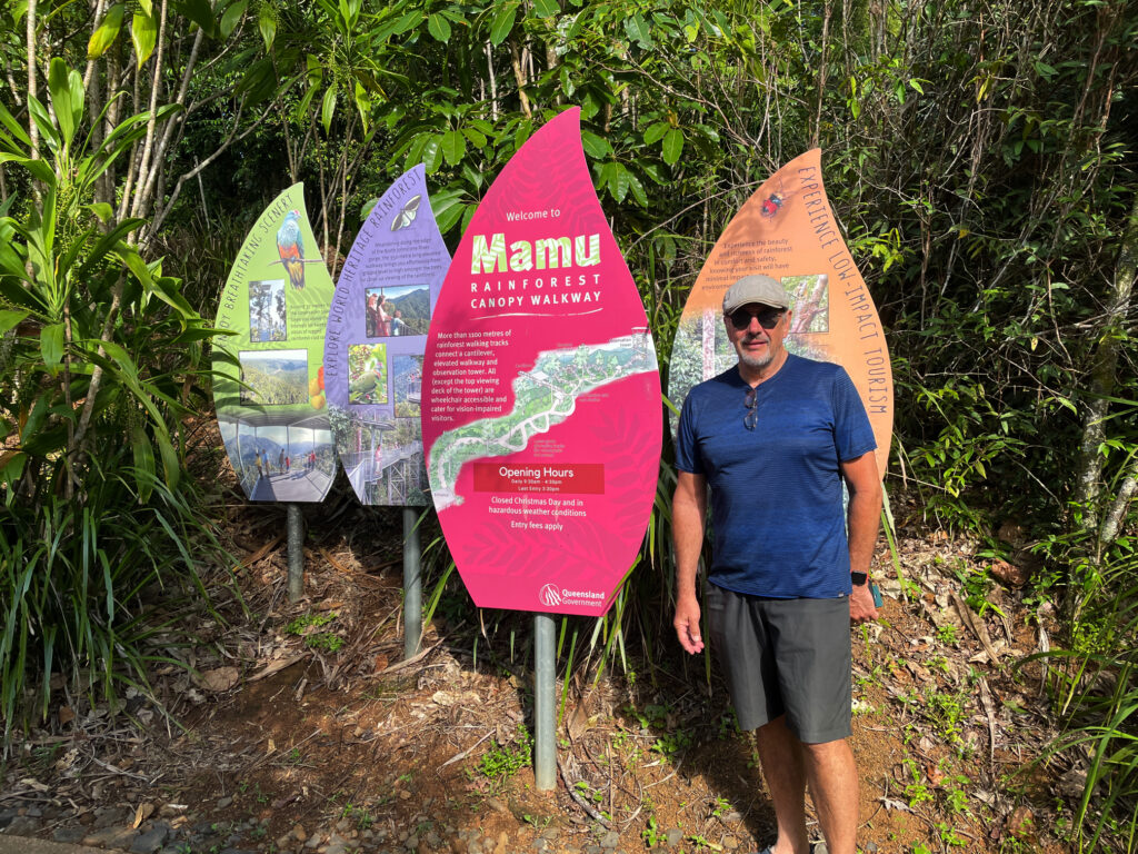
A 350m section of elevated walkway leads to a cantilever 15m above ground right in the rainforest. The view of the rainforest beneath us and to the sides was fascinating, just looking at the different trees and epiphytes.

This image has an empty alt attribute; its file name is 05_12_mamu-walkway-768x1024.jpg

Mamu walkway. 
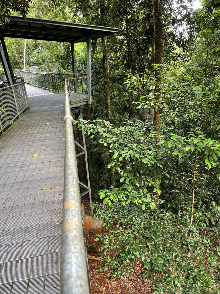
Excellent infrastructure designed to showcase the area at its best without damaging any of the flora.

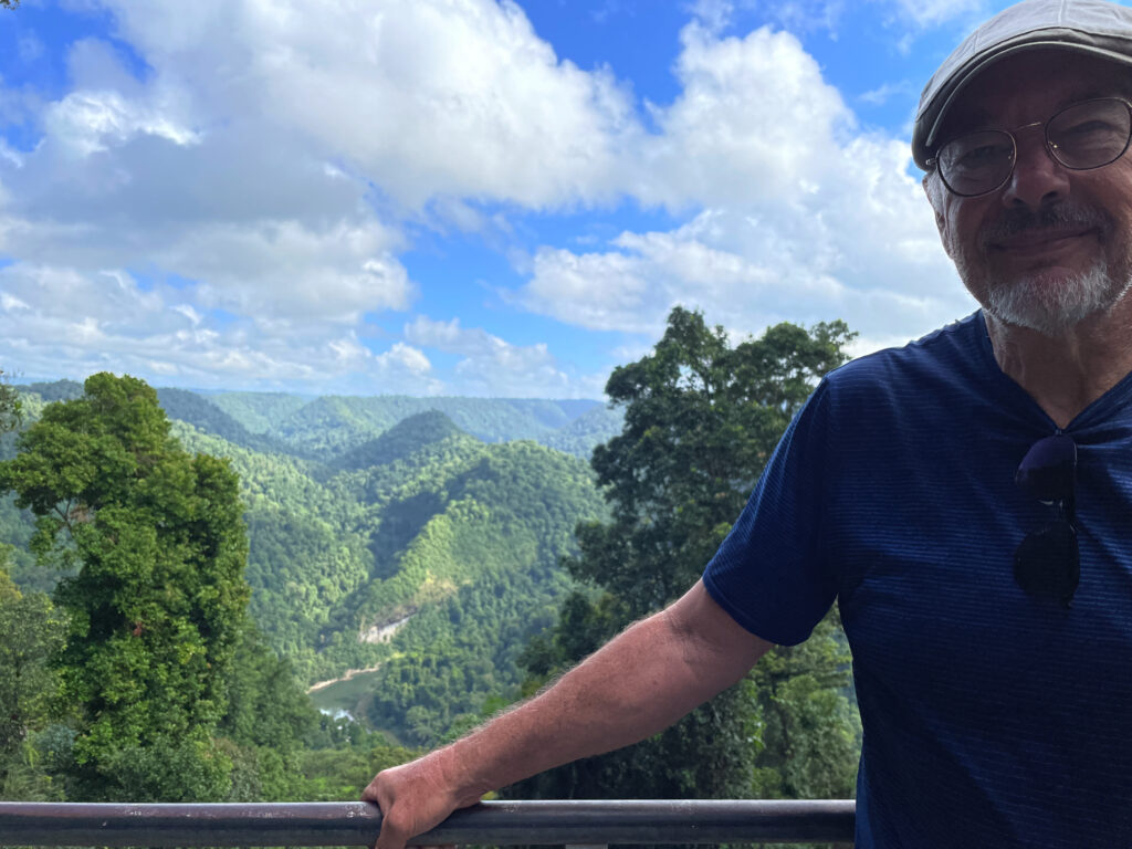
But also straight ahead was the Johnson R Gorge. This is such beautiful country. Further on is ‘the tower’. This 37m tower, with many, many steps to reach the top, looks out over the tops of the trees and across gorges. Fantastic! 

This image has an empty alt attribute; its file name is 05_12_mamu-walk-1024x768.jpg

The view down the valley from the Mamu boardwalk.

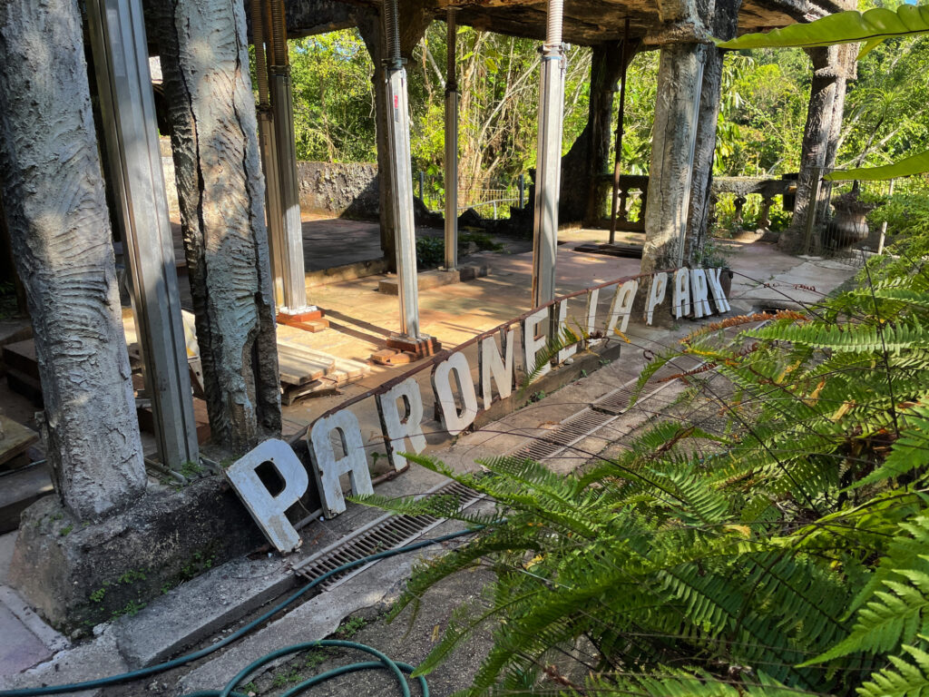
Paronella Park is the main destination for today, with camping onsite. For years people have been telling us about this place. It’s one man’s dream of having a European Castle in Australia. José Paronella nearly single-handed built his home and his castle over a 6-year period. A grand staircase leads from the beautiful grounds and tennis courts past the fountains to a ballroom, which used to hold dances and show movies, with refreshments provided from the refreshment rooms.

This image has an empty alt attribute; its file name is 05_12_paronella-1024x768.jpg

Rustic Paronella Park

Mena Creek enters the property via a waterfall into a large swimming pool. The hydroelectric power plant José established here provided electricity to the property fully 30 years before the local townsfolk had power. In its heyday Paronella Park was an exotic playground for the locals as well as many servicemen during WWII. 

This image has an empty alt attribute; its file name is 05_12_paronella3-1024x768.jpg

The falls on Mena Creek – a part of Paronella Park. A hydroelectricity unit was built here to power the park and is still functional today.

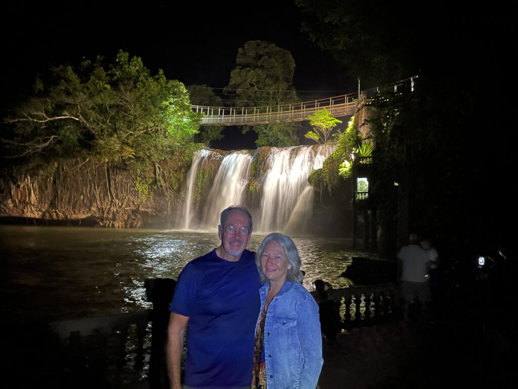
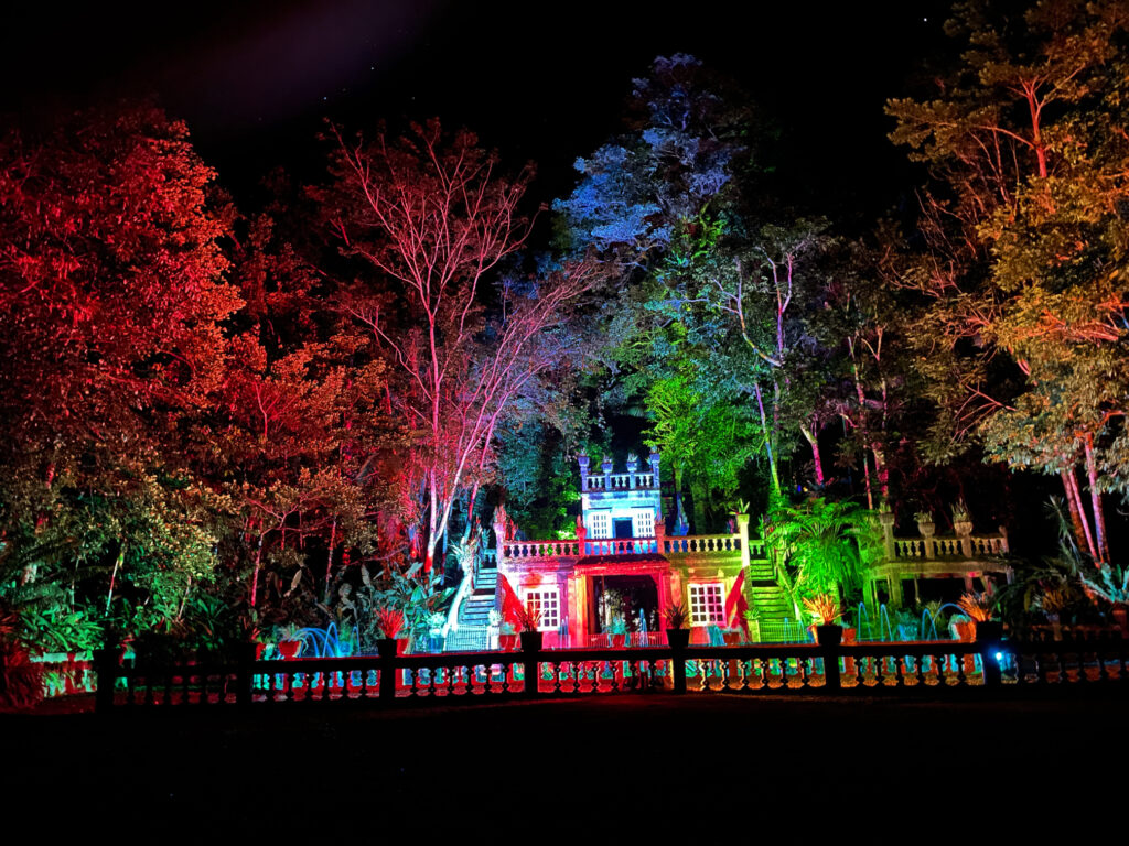
These days, the gardens and fountains are still beautiful, but following floods, cyclones and a fire it’s just the shell of the castle that remains. We stayed in the caravan park on the grounds and did the daytime tour as well as a night tour where the castle is lit beautifully and accompanied by an original music score. Altogether a very enjoyable stay. 

This image has an empty alt attribute; its file name is 05_12_paronella4-1024x768.jpg

The light and music show at Paronella Park is quite special.

13th May. Bingil Bay

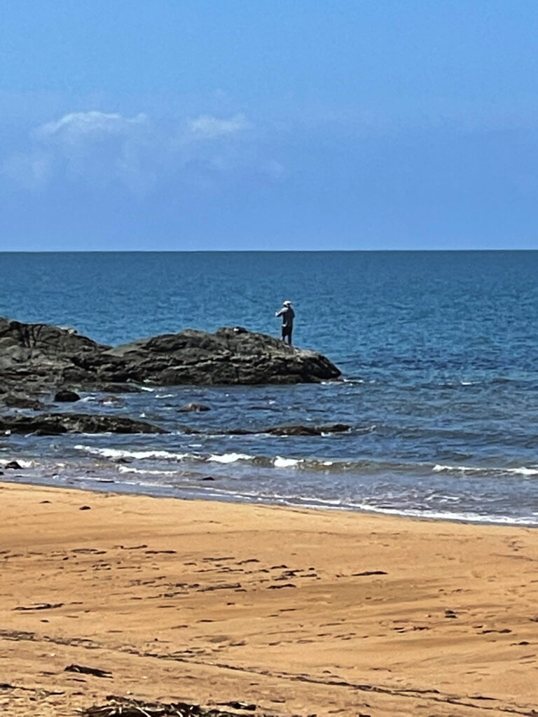
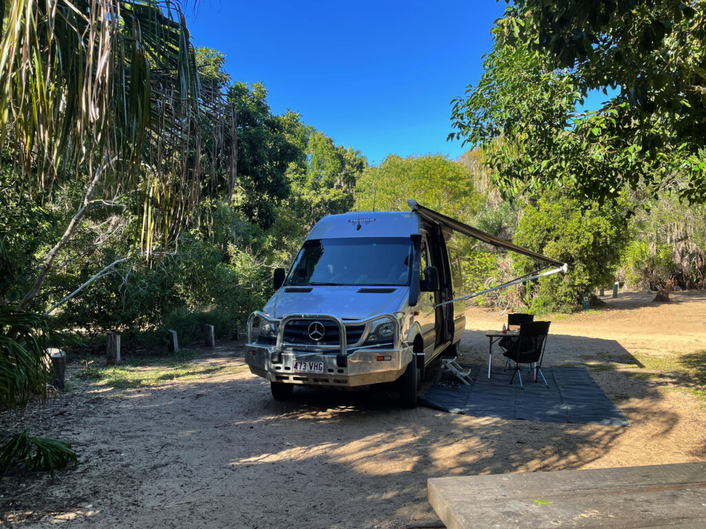
Bingle Bay has a reputation of being a highly desirable camping spot, with only 8 sites and no reservations taken, ie first in, first served. This meant an early departure for the drive to the coast.


Our campsite at Bingil Bay. Perfect!

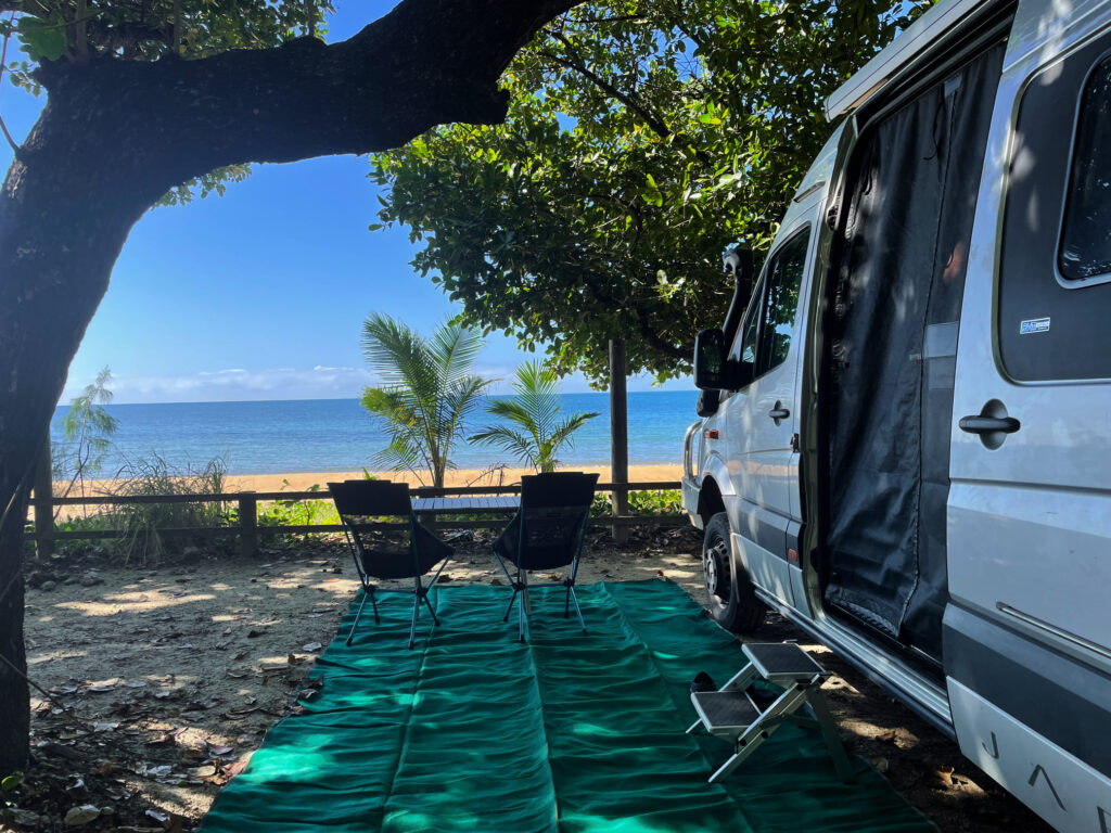
We arrived just as the couple who had the best site (that is site 6) were packing up to leave! Walking on the beach, a quick swim (crocs and stingers uppermost in my mind) and lots of sitting back reading was the order of the day. 


Steve spent a relaxing hour or so fishing. Bingil Bay

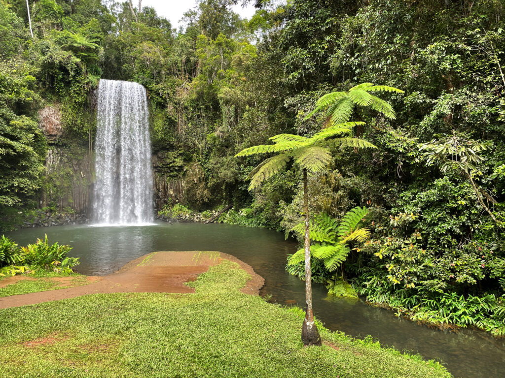
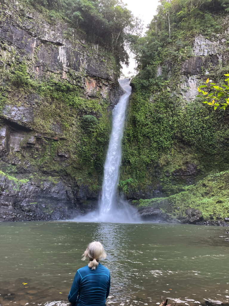
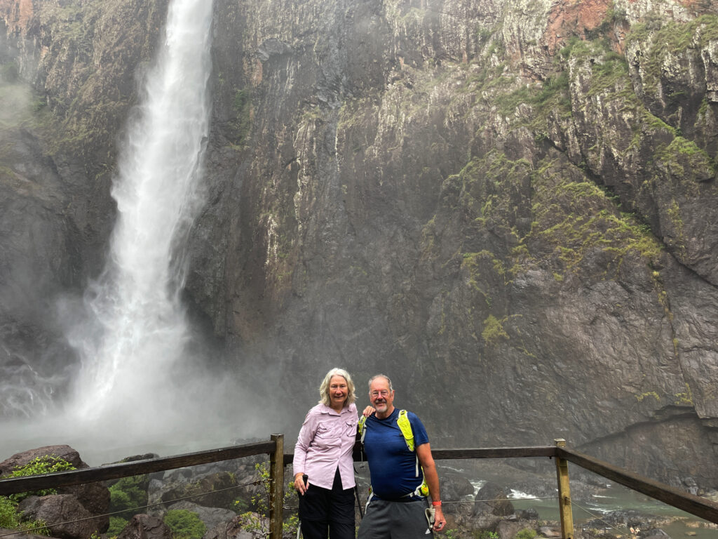
14th May. Wallaman Falls

The last of the waterfalls for us on this trip also happens to be the highest permanent waterfall in Australia.


The very spectacular Wallaman Falls.

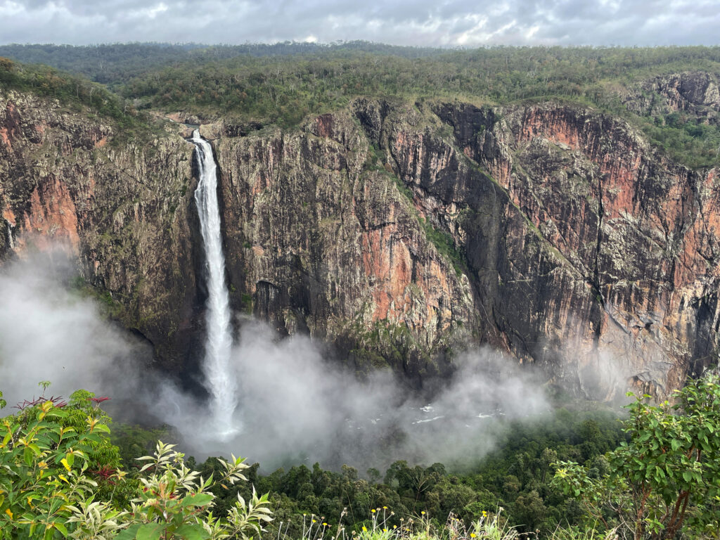
We camped in the NP campground and, after admiring the falls from the lookout, did the 3.5km return walk to the base of the falls – a very steep descent, followed, unsurprisingly, by a very steep ascent to return. We were both pretty chuffed at how well we managed it – all those Devonshire teas haven’t wreaked too much damage. Once more, a spectacular geographical, or should that be geological, feature. 


The walk to and from the base of the falls is quite a trek, but well worth it.

15 – 16th May.

Heading south now quite quickly. We stopped for brunch at the TYTO Wetlands RV camp (looks good for future reference), and a cuppa at Saunders Beach (nice beach, but camp site in carpark) before pulling up for the night at the free camp at Giru.
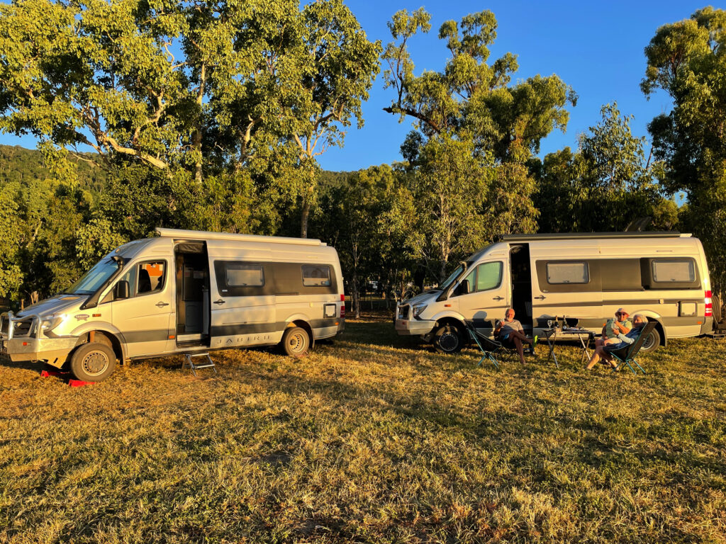
Next night we headed for Lake Proserpine (also currently a free camp) where we’re meeting up with our old travelling buddies Ken and Wendy. Lake Proserpine is a huge campsite alongside the dam. A pleasant camp, particularly our time with our friends.


Back with a great travelling mates, Ken and Wendy, for the last time. 🙁 They’re selling their Trakka. At Lake Proserpine

 17th – 19th May

A night at Waverley Creek Rest Area – a good roadside rest area OK for one night. Then on to Wreck Rock camping ground in the Deepwater NP. The road to it from Agnes Water heading south is in very poor condition, so we came up from the southern side on a good dirt road. We spent two days here, mostly relaxing and going for lovely long walks on the beach. A pleasant stay.


Wreck Rock campsite. Another lovely campsite beside the beach south of Agnes Water.

20th – 21st May

We spent our last night before arriving home with good friends Ric and Gill on the Sunshine Coast. Needless to stay a good night was had by all.
But there’s no place like home, and it was lovely to arrive back home.

Summary
Duration: 54 days
Distance driven: 7,471 km
Fuel cost: $1410
Campsites: 18 nights in 9 National Parks
Free camps – 15
Cost of camping – $766 (+$459 at hotel Cairns)
Activities: $791


Brunch at Whitsunday Gold coffee roastery with mates Ken and Wendy.

Chillagoe and lots of Waterfalls

8th-12th May

Originally we’d planned to visit Chillagoe when we left Karumba via the Burketown Development road but it was closed due to flooding, hence the zigzagging across the Tablelands. Surprisingly, as we left the Tableland, we passed through rich agricultural lands with avocado, mango, banana, citrus, grapes and sugarcane, and other crops we didn’t recognise, stretching for many kilometres. Before long though we were back in cattle country. 

Pawpaws – or red papayas. Absolutely delicious eating. Outside Babinda
The Wheelbarrow Way, one of many tourist trails that highlight our history. Chillagoe

Chillagoe has a population of a bit more than 200. It struck us as a tough little town, its residents having weathered many ups and downs as most mining towns have. Over the years huge deposits of silver, lead, zinc, gold, limestone and marble have been mined here. The lime stone and marble mines are still working, with a few small silver, lead and zinc operations continuing. Chillagoe lime has the sugarcane industry more or less cornered but unfortunately, while beautiful marble is mined here, most of it is sent overseas for treatment. Most of the marble in Parliament House came from Chillagoe. 

Marble blocks awaiting orders before shipping to their destination.

But we’re here for the caves. Back around 400 million years ago the limestone laid down under shallow oceans was lifted, towering above the surrounding countryside where weathering and erosion and fluctuating groundwater levels slowly dissolved some of the limestone, creating caverns and passages, now rich with stalactites, stalagmites and flowstones. We visited three caves today with the ranger – Donna, Trezkinn and Royal Arch. All were outstanding, as was the infrastructure allowing us to view them without causing damage.

Chillagoe Caves
Chillagoe Caves

Between cave tours we walked out to the Balancing Rock. I’ve seen many Balancing Rocks, but this is a pretty good one, and the bush walk, after yesterday’s marathon effort, was good to keep the muscles moving.

‘Saving’ the balancing rock – Chillagoe

Dinner at the Cockatoo Pub tonight, behind which we’re camped for 2 nights. 

Before leaving Chillagoe this morning we drove out to the Archway caves, which are self-guided.

This image has an empty alt attribute; its file name is 05_10_chillagoe-768x1024.jpg
The approach to the very sinister-looking Royal Arch caves.

Other than the extraordinary, gothic-like appearance of the limestone karsts in which the caves form, we weren’t impressed with this section, nor game enough to go crawling into little spaces by ourselves with just a head torch. 

This image has an empty alt attribute; its file name is 05-09_Chillagoe08-768x1024.jpg
Exploring the caves at Chillagoe

Back through the savanna and the rich agricultural farms and orchards to the Tableland. On the way we dropped in to the Mount Uncle Distillery. A tasting board of spirits was set before us – a pleasant time was spent tasting them all, buying a couple of bottles, and then wandering their beautiful grounds, lush with tropical plants and vegetable gardens and lots of peacocks!

This image has an empty alt attribute; its file name is 05_10_distillery-1024x576.jpg
A delightful time taste-testing at Mt Uncle Distillery.

By the time we’d done that and made ourselves a cuppa we were sober enough to continue our journey to Malanda where we booked in to the caravan park. The Malanda Falls are beside the CP, but we weren’t that impressed, looking more like a weir than anything. A quiet night, other than for the curlews which seem to be at every campsite!

Still chasing waterfalls today we’re following the Waterfall Way to the southern Tablelands. First stop was Millaa Millaa Lookout, which promised amazing views out to Mt Bartle Frere and Bellenden Ker. However, this section is known as the “misty mountains’, hence no mountains seen, but the rolling countryside and magnificent valleys filled with rainforest was absolutely beautiful.

This image has an empty alt attribute; its file name is 05_11_millaa-lookout-1024x768.jpg
The view from Millaa Millaa Lookout. On a clear day you can see Mt Bartle Frere and Bellenden Ker – not today. But beautiful nevertheless.

Next stop, Millaa Millaa Falls, the most-photographed falls in Australia. They are “perfect” falls, coming out of thick rainforest in one reasonably wide band of water and falling to a large pool below. Despite the cooler weather I had a swim here, swimming over to and behind the falls. A wonderful experience. 

This image has an empty alt attribute; its file name is 05_11_millaa_falls-1024x768.jpg
The very beautiful Millaa Millaa Falls.

Next stop, Zillie Falls then on to Elinjaa Falls where there’s a steep path of about 500m to get to the base. It’s possible to swim here too. 

This image has an empty alt attribute; its file name is 05_11_elinjaa_falls-768x1024.jpg
Elinjaa Falls

By now it was lunchtime and the cafe at the biodynamic dairy at Mungalli was calling to us. A very filling cheese platter, followed by the best ice cream I’ve ever had (Espresso flavour) replenished our energy levels. The countryside is so pretty – hills, gullies, rainforest and the lushest grass you can imagine. It’s no wonder the dairy cows give such beautiful milk.

This image has an empty alt attribute; its file name is 05_11_mungalli-lunch-768x1024.jpg
The most delicious lunch at the Mungalli Biodynamic dairy farm.

Continuing our meandering drive through the tiny town of Mungalli, which also has a waterfall, though more like steep rapids, we descended and descended until reaching Henrietta Campsite in Wooroonooran National Park. We’ve stayed at lots of National Parks over the years – they’re a credit to our country. This one has a large open area to kick a ball, an electric BBQ, covered tables, toilets and a shower (cold). The campsites are all nestled into the rainforest all around and beside Henrietta Creek. Most have bush walks or other activities. Here we decide to do the walk to Nandroya Falls, a return walk of about 7km. A couple of rock-hopping water crossings and a narrow path ascending and descending alongside the river gave us a bit of a workout. First we came to Silver Falls and finally Nandroya. These are a favourite of Steve’s as they fall spectacularly from a narrow gap in the sheer cliff face to the pool below, then from that they tumble down again over a wide cliff to the next level. 

This image has an empty alt attribute; its file name is 05_11_nadroya-falls-768x1024.jpg
Nandroya Falls – such interesting falls.
This image has an empty alt attribute; its file name is 05_11_silver-falls-1024x768.jpg
The lovely Silver Falls, seen along the walk to Nandroya Falls.

Back at camp we took our chairs down the steep little path to sit by the river contemplating life, the universe and everything, and hoping to spot a platypus. Alas no platypus, but we did get up close and personal with a few too many leeches! A quiet night anticipated with just us and one caravan. 

This image has an empty alt attribute; its file name is 05_11_henrietta-campsite-1024x768.jpg
Relaxing at our campsite at Henrietta NP campground.