27th June, 2015
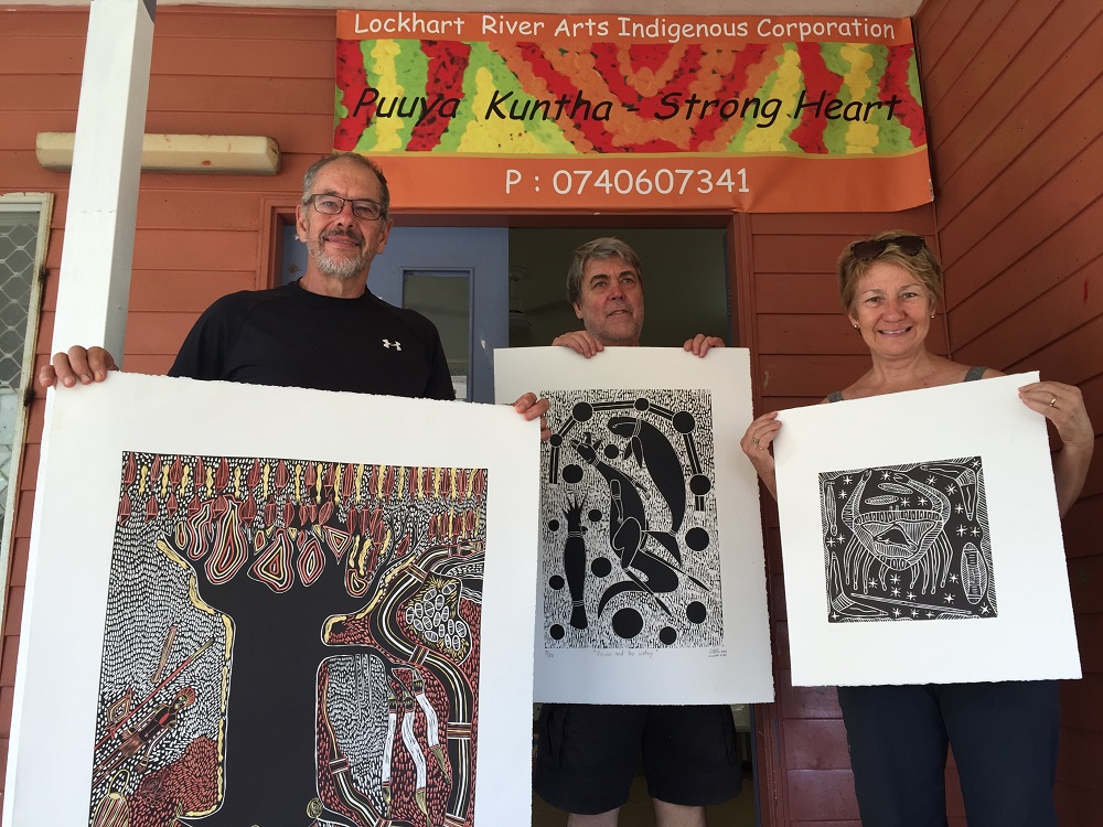
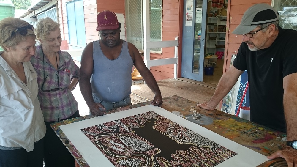
Leaving Chilli Beach today we did a detour back to Lockhart River for fuel, water and a few groceries, stopped off at the airport to have a look. I was particularly interested in seeing this as my father piloted planes to New Guinea during WWII and in all probability landed here on the way up.
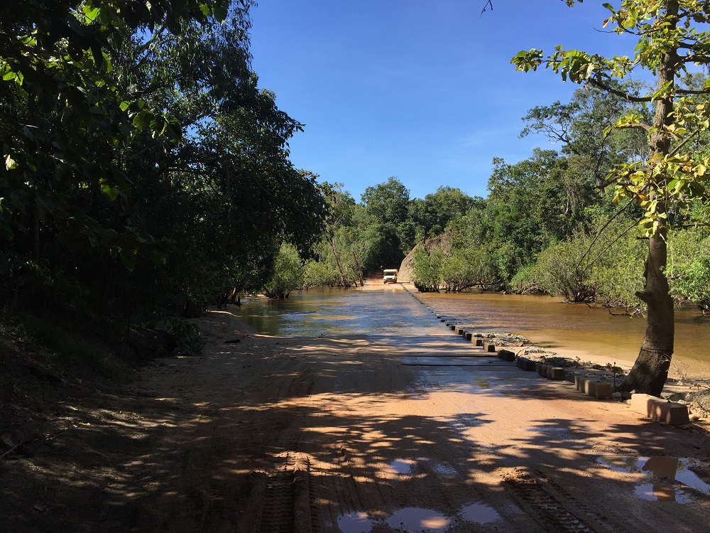
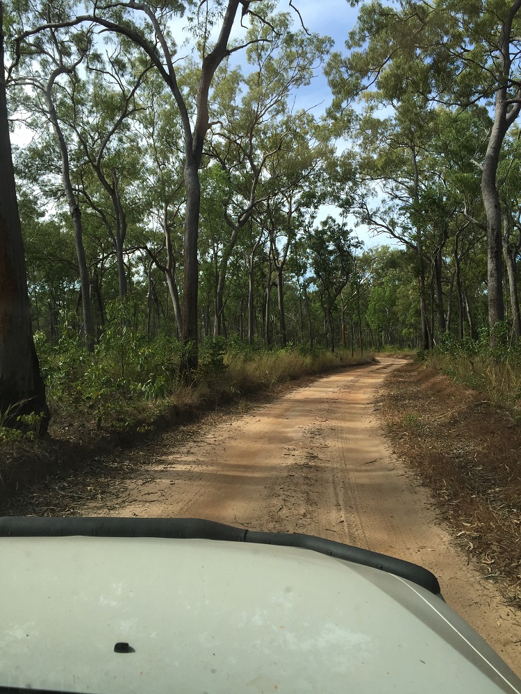
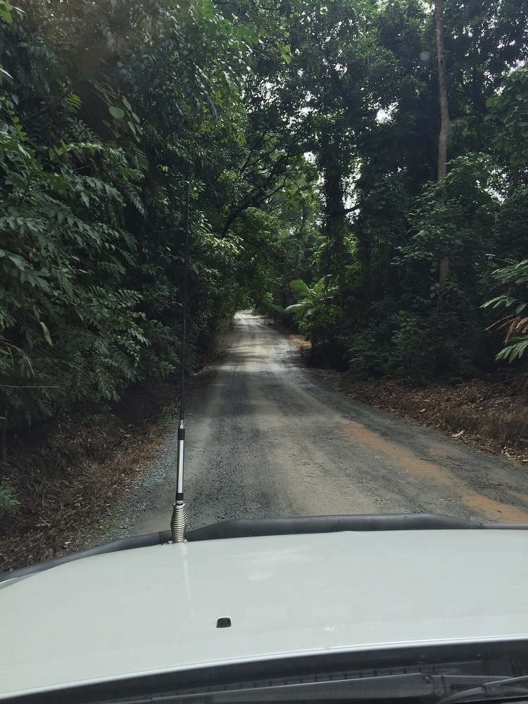
The road out was even more muddy and slippery as we’d had a little rain one evening. Wasn’t a problem for us – into 4WD and power on through it.
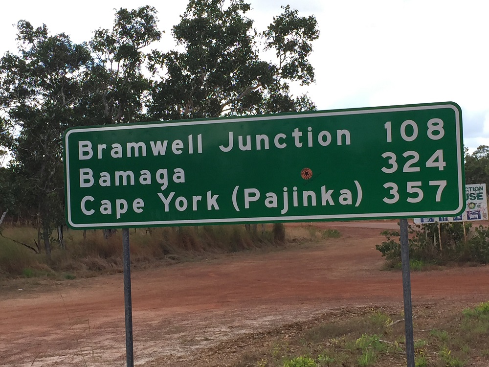
That’s where we’re ultimately headed! I like the name Pajinka – nicer than Cape York, or ‘the Tip’ as most people call it.
Tonight we’re staying at Bramwell Station. This is a private property, a 132,00 ha cattle property established in 1930 and now diversified to include tourism. In the early days the cattle had to be walked a very long way to the Mareeba Salesyards, or to Bamaga. With the road being opened up and a bridge over the Wenlock River they’re moved by road trains these days.
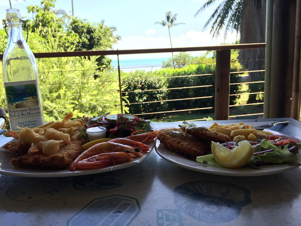
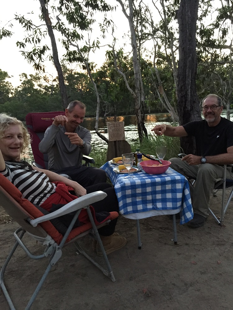
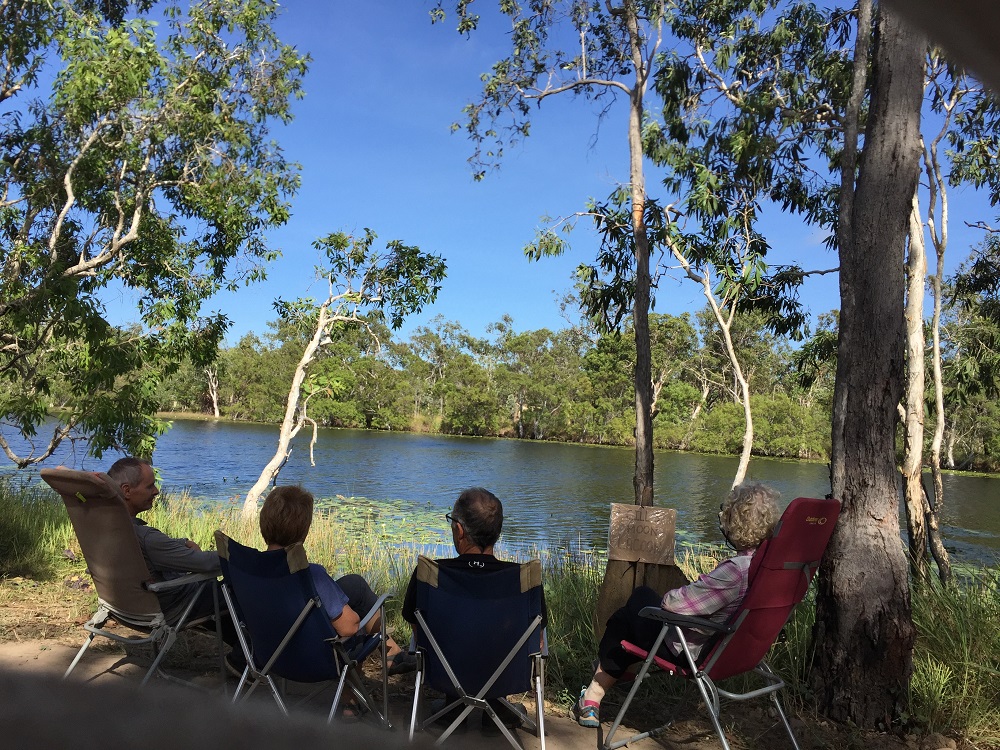
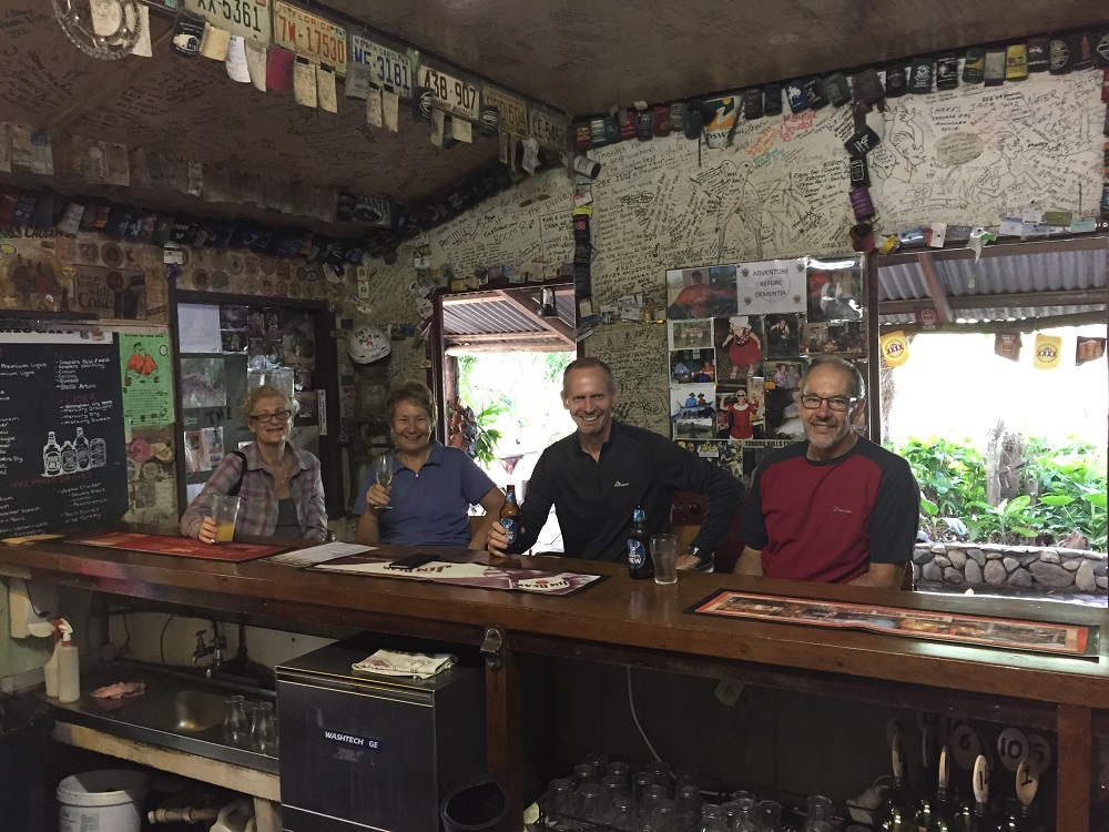
There are extensive camping grounds around the homestead, a bar, some cabins and warmish showers. It’s very popular with there being around 50 or more campers here. The tour bus companies also come here. You can order meals at the bar, but it was booked out – probably just as well, it didn’t look that appetizing.
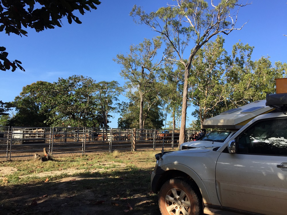
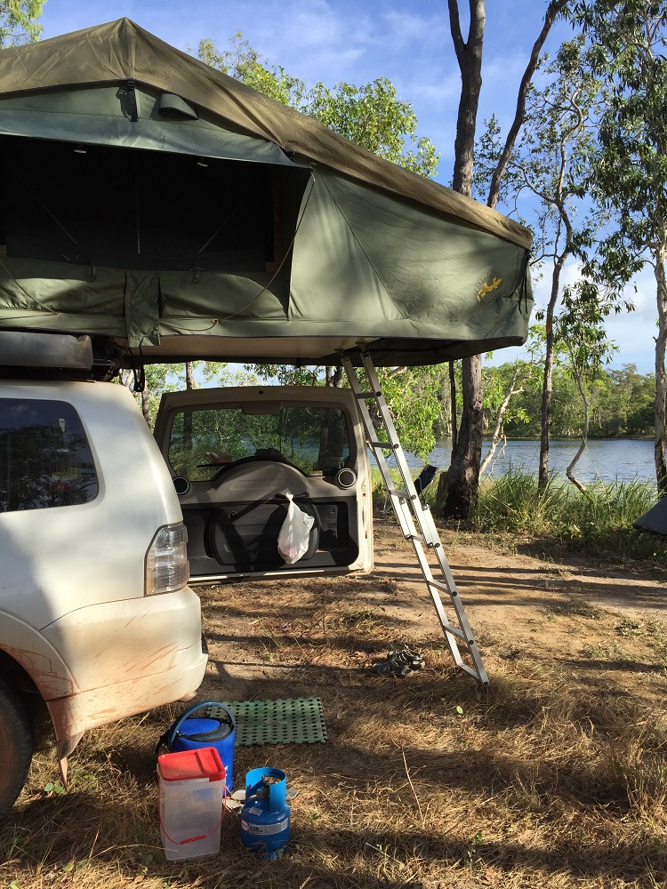
Our campsite beside the cattle yards at Bramwell Station.
At ‘sundowners’ around the bar we had live music entertainment (pretty good) and one of the managers told us the history of Bramwell Station. It’s only changed hands twice. The original owner had considerable help from a local aboriginal family and when he died he left a part-share of the property to the family – unusual in those days! The current owner purchased it in 2001. Anyway with the current price of beef being very favourable, the roads making it very accessible for tourists, also owning Bramwell Junction Roadhouse which charges over $2/L for diesel, and a road work team that is kept constantly employed on these roads, the Station should be doing very well for itself.
28th June, 2015
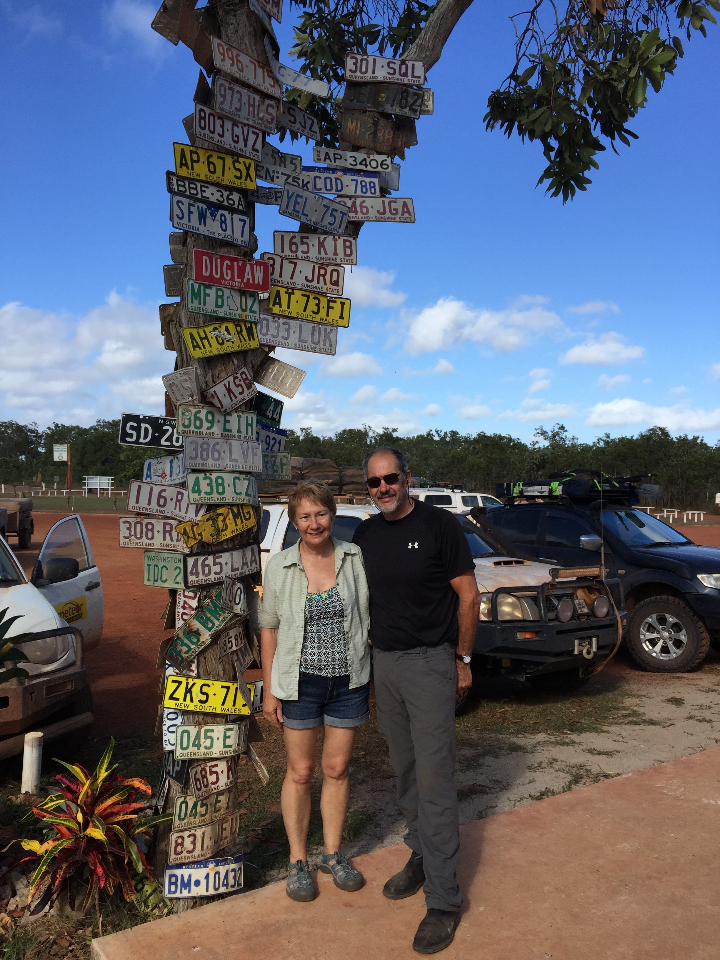
Lost your number plate? Maybe it’s here.
The highlight today is going to be Fruit Bat Falls. After leaving the Station we stopped at Bramwell Junction Roadhouse to refuel. This is where the Old Telegraph Track starts. On a tree there are dozens of number plates nailed – lost from cars attempting the unforgiving OTT. Fuel was exorbitant – $2.20/L.
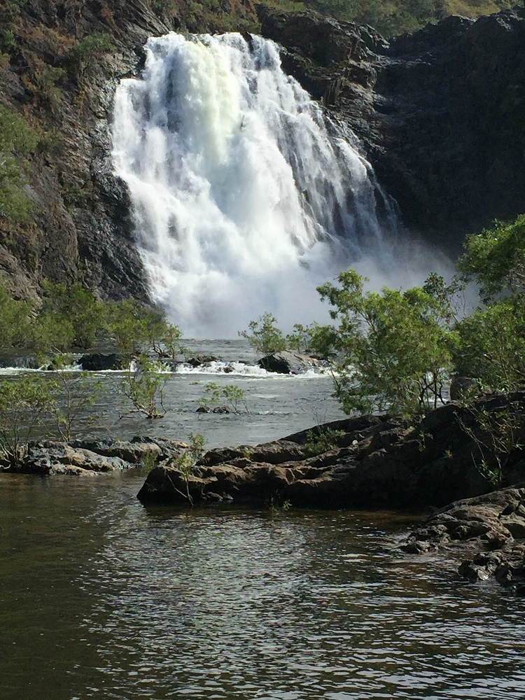
Onward to the Falls. Our friend Bryan was part of the crew that installed the microwave telephone towers up here some 40 years ago. It was one of his crew, a young lad who loved to eat fruit and whose nick-name was Fruit Bat, who ‘discovered’ the falls and after whom they were subsequently named. (My brush with fame!)
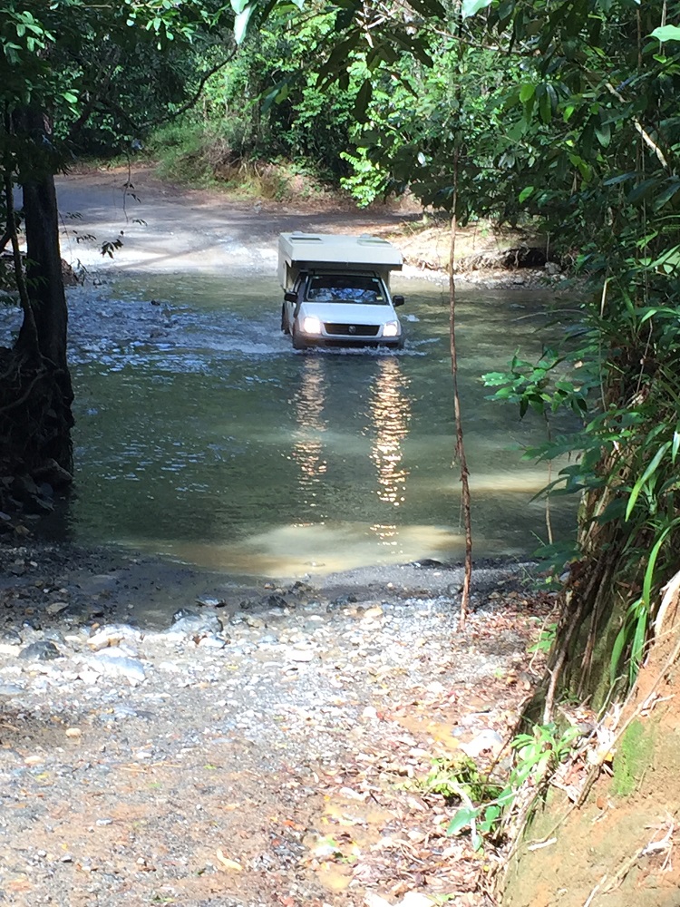
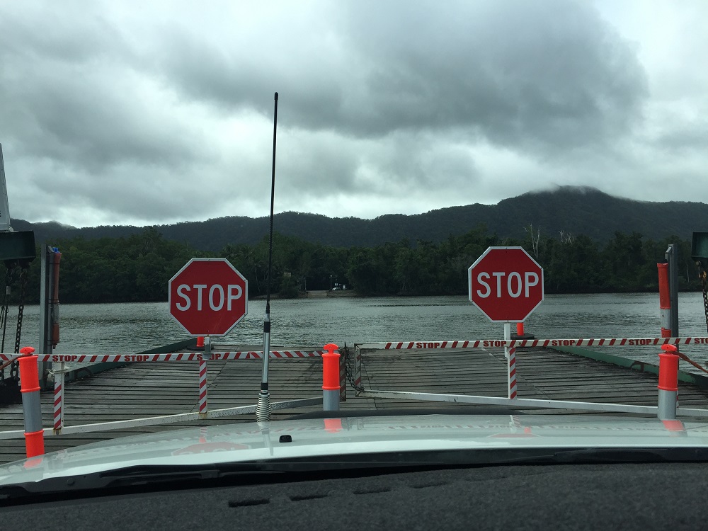
Anyway the Falls are just fan-tas-tic! Crystal clear water cascading down a 2 metre drop in the middle of beautiful, lush heathlands. The swimming was heavenly. We had a picnic lunch here before continuing our trip to camp at the Jardine River ferry – ready to cross tomorrow morning.
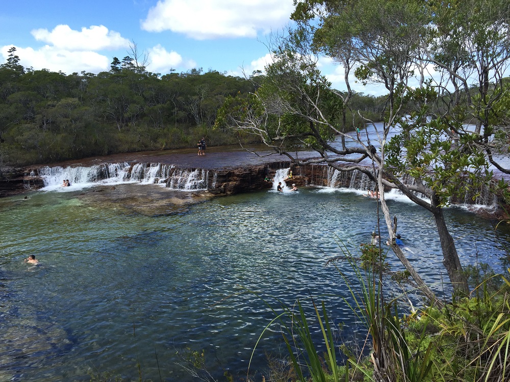
Really enjoyed our swim and the beauty of these delightful little falls.
The roads are very corrugated, and dusty – red bulldust! When you pass or are overtaken by a vehicle visibility drops to mere metres. Travelling close behind someone would be very unpleasant, and dangerous. Road trains travel the road taking supplies and fuel to the tip and it’s not fun being stuck behind one.
To see our photos from this part of the adventure CLICK HERE.