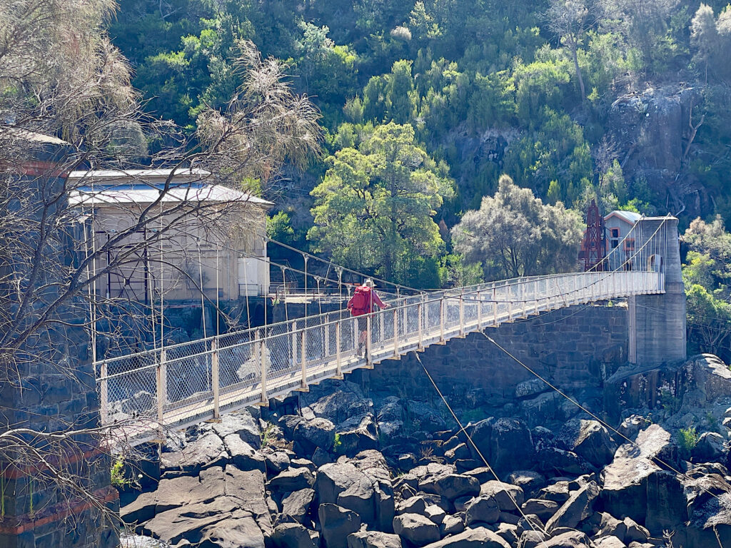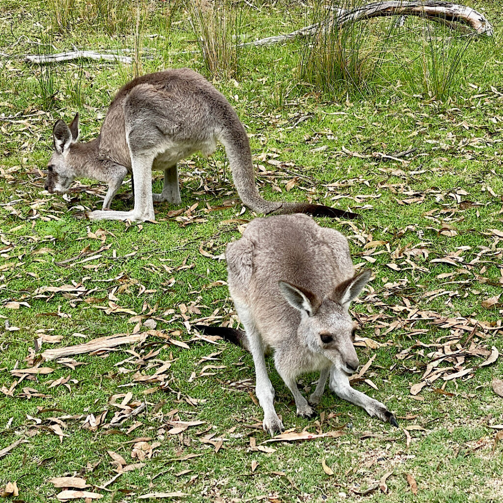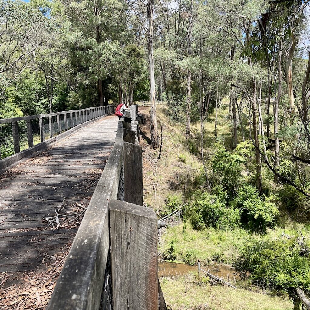
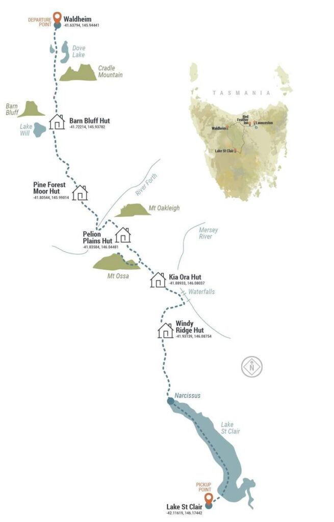
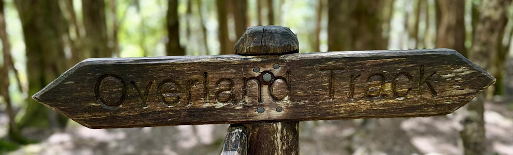
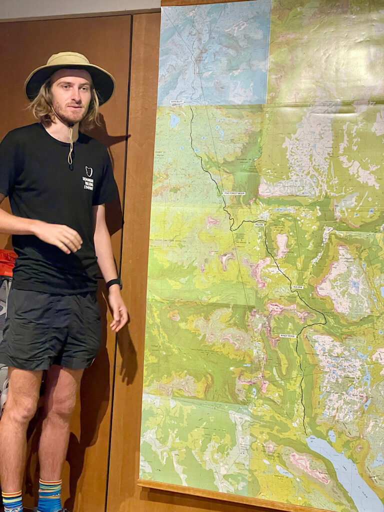
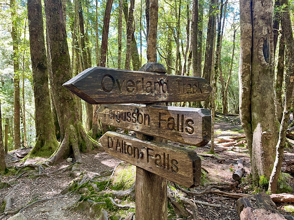
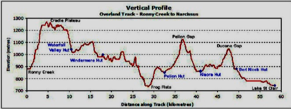
The Overland is a 65km track (+side tracks) through the alpine highlands of Tasmania and is considered to be amongst the Worlds best multi-day hikes.
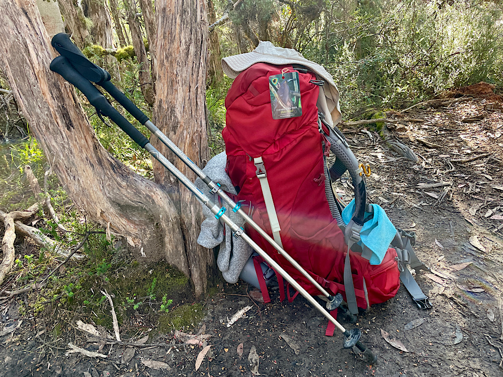
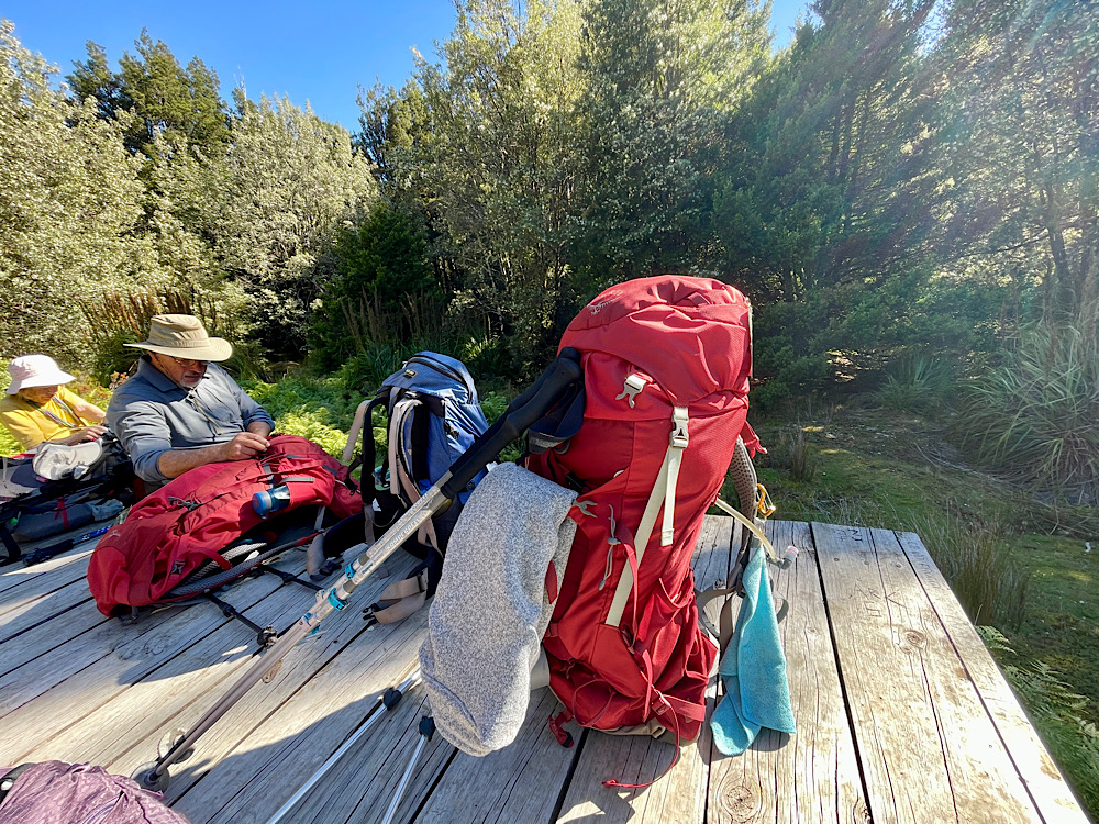
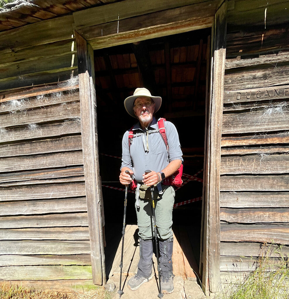
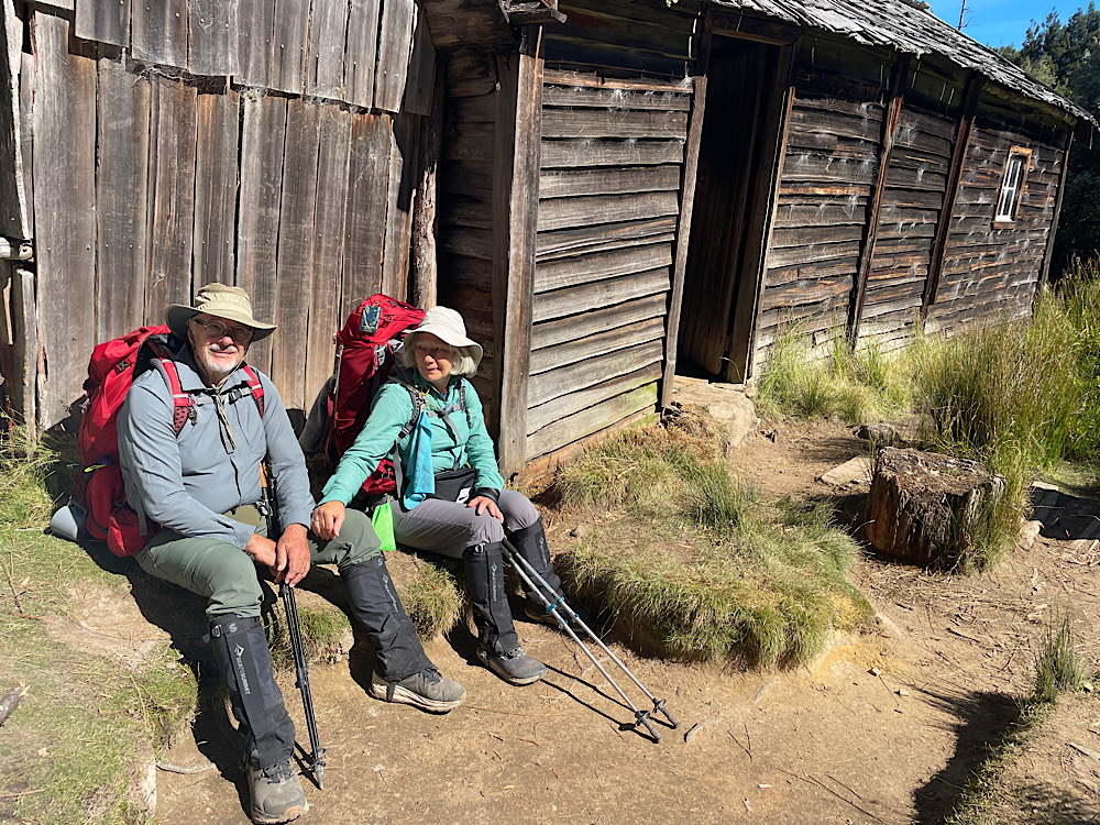
We’re going to hike this track over the next 6 days with the Tasmanian Walking Company. We’ve chosen to do it with this well-respected company as the Track is notorious for having unpredictable weather at any time of year (a young adult died in a February blizzard some years ago) and we’re not familiar with hiking in such conditions. Also our hut accommodation and food is provided allowing us to reduce our pack weights, still carrying 10kg. There are no shortcuts to the distance hiked though!
Tuesday 13th February
Day 1: Hadspen to Cradle Mountain (vehicle transfer)
Waldheim Chalet to Barn Bluff Hut (7 hours hiking)
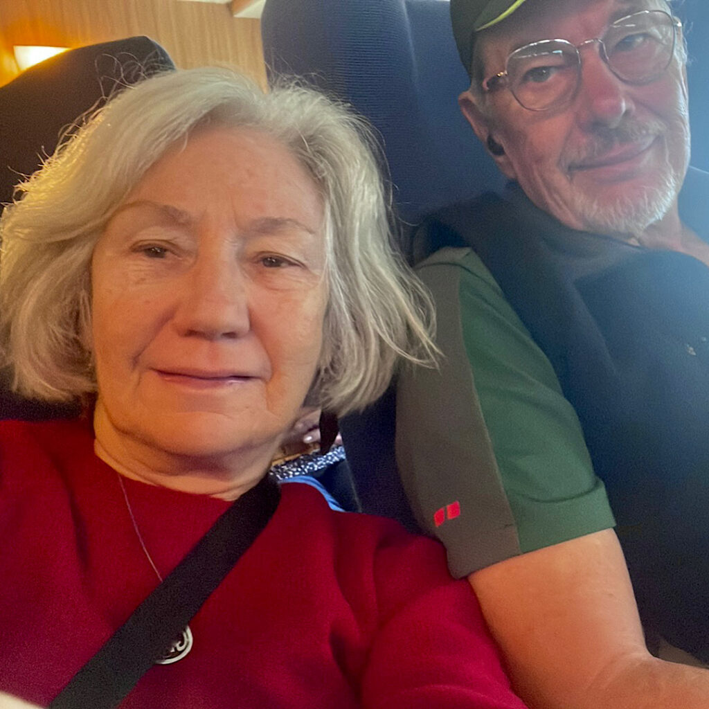
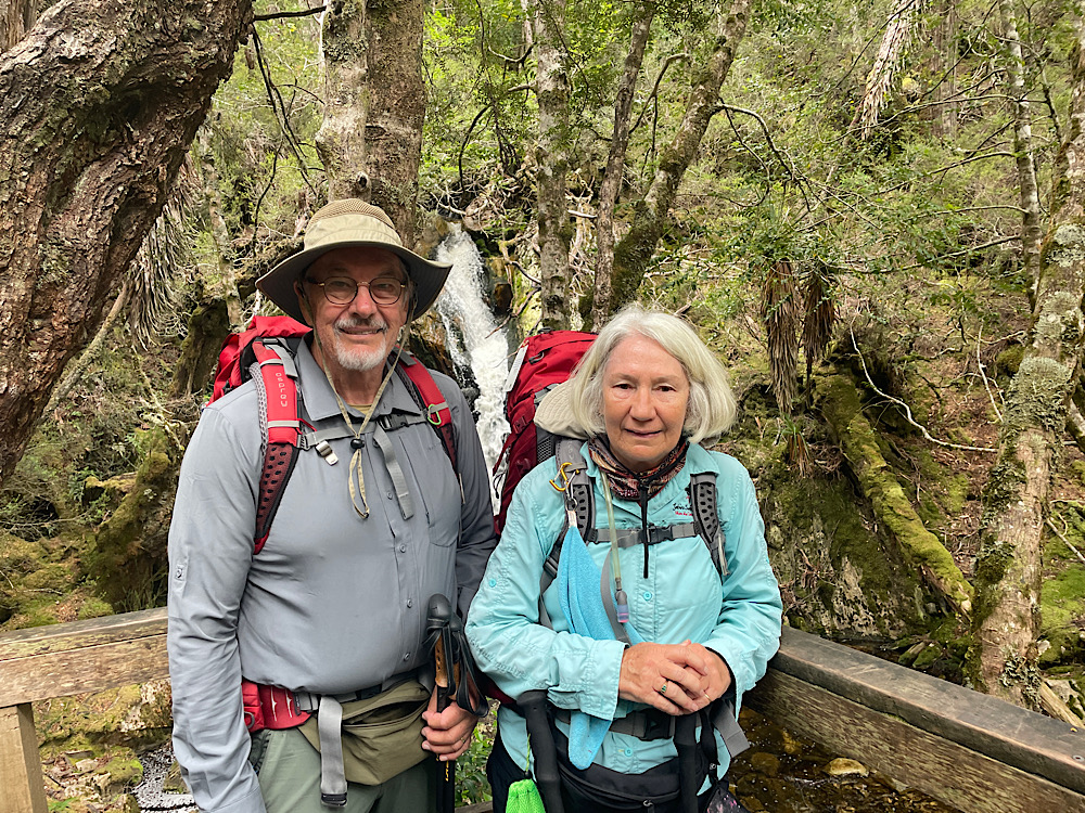
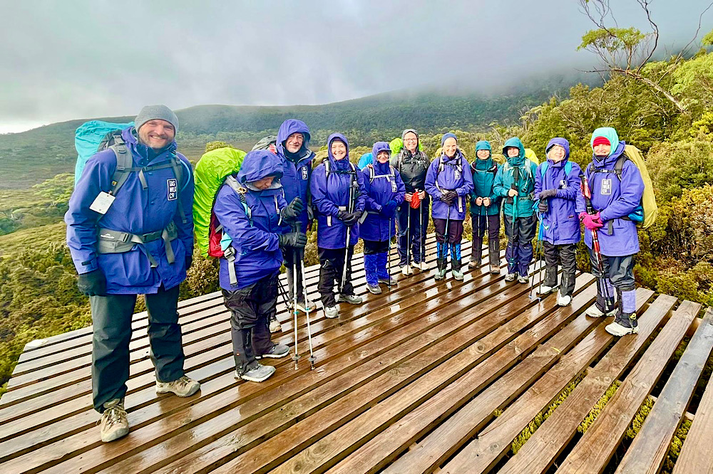
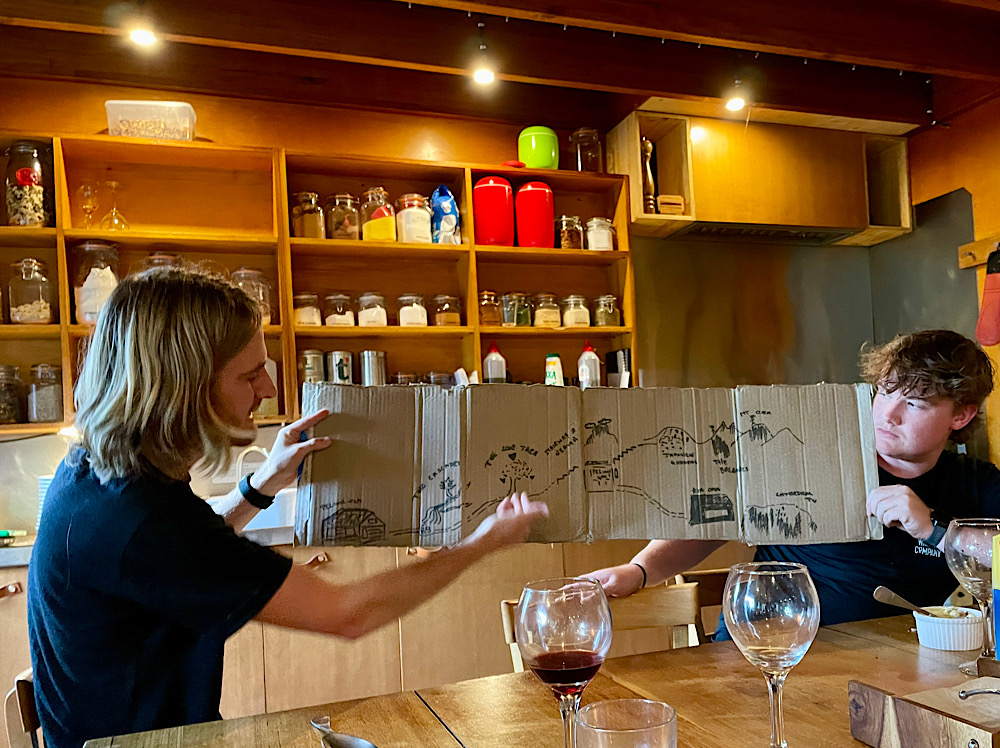
At 7am we met the other 9 hikers and 2 guides who make up our group. Before leaving Hadspen Guide Sam and Guide Milo checked our gear, ensuring we had everything we needed for whatever weather we might encounter, and gave us a briefing on the hike ahead of us – not a word of which I recall! Too nervous!
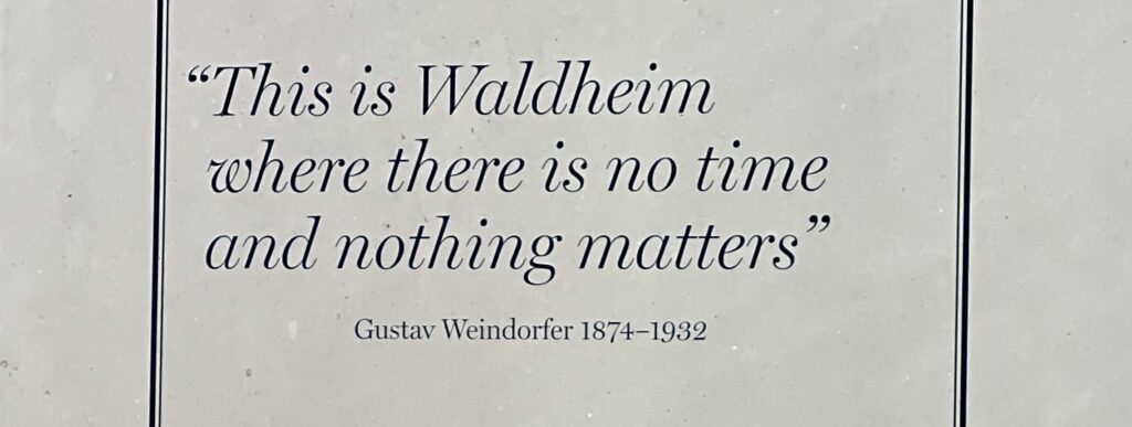
To break the drive to Cradle Mountain we stopped at Sheffield, the town of murals, and parked beside the Gustav Weindorfer mural. Gustav was instrumental in getting Cradle Mountain Lake St Clair declared a National Park.
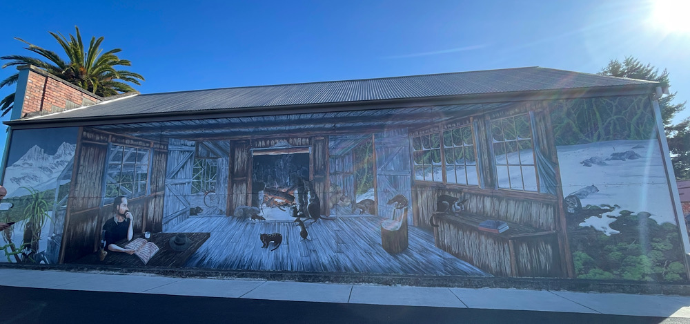
The mural depicts Gustav in winter at Waldheim Chalet, accommodation he built for his guests. He’d light a fire to warm the room then open the door and sit quietly writing up his journal. The animals would slowly come inside for the warmth.
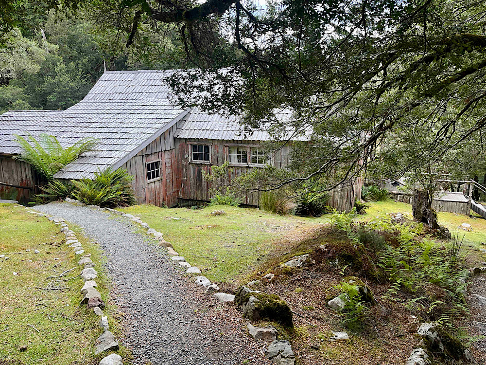
The bus dropped us at Waldheim Chalet for a brief look around before commencing the hike.
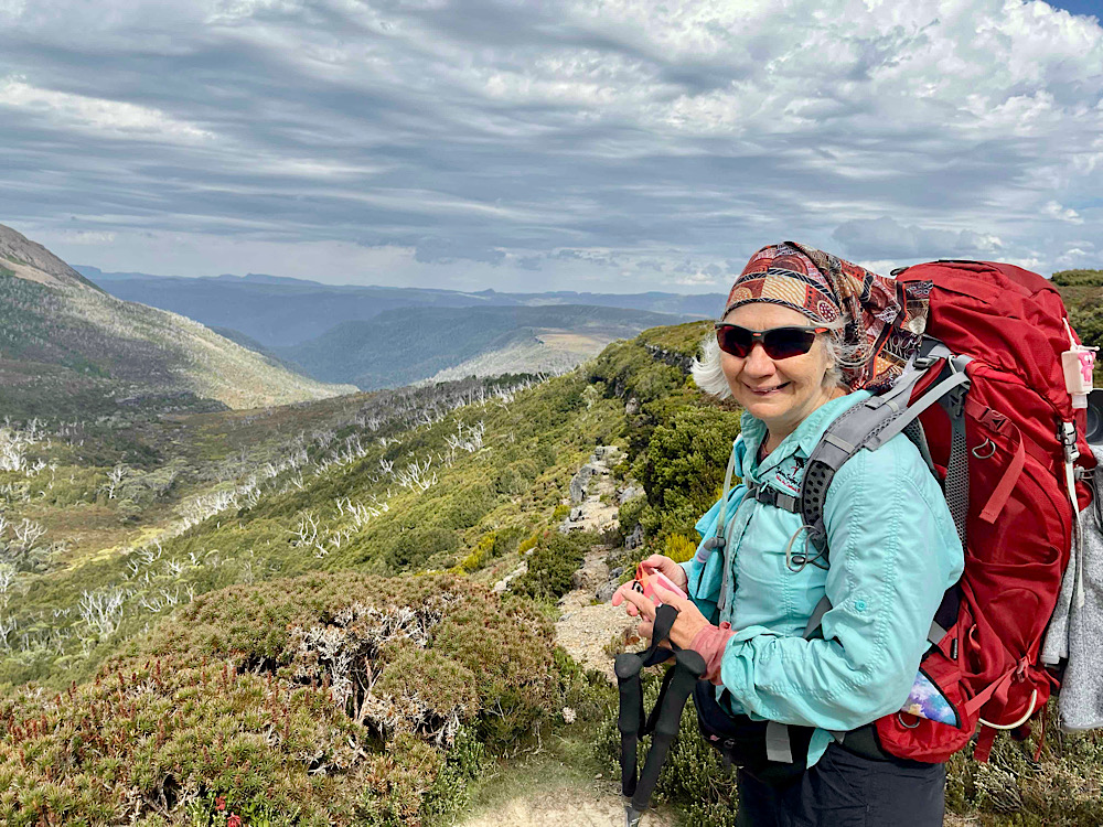
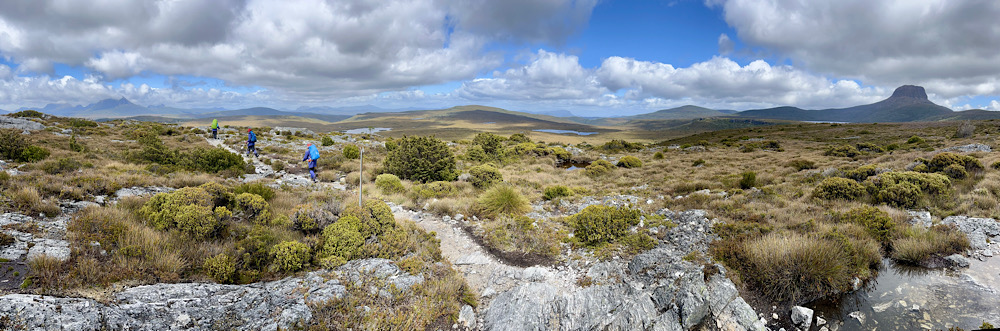
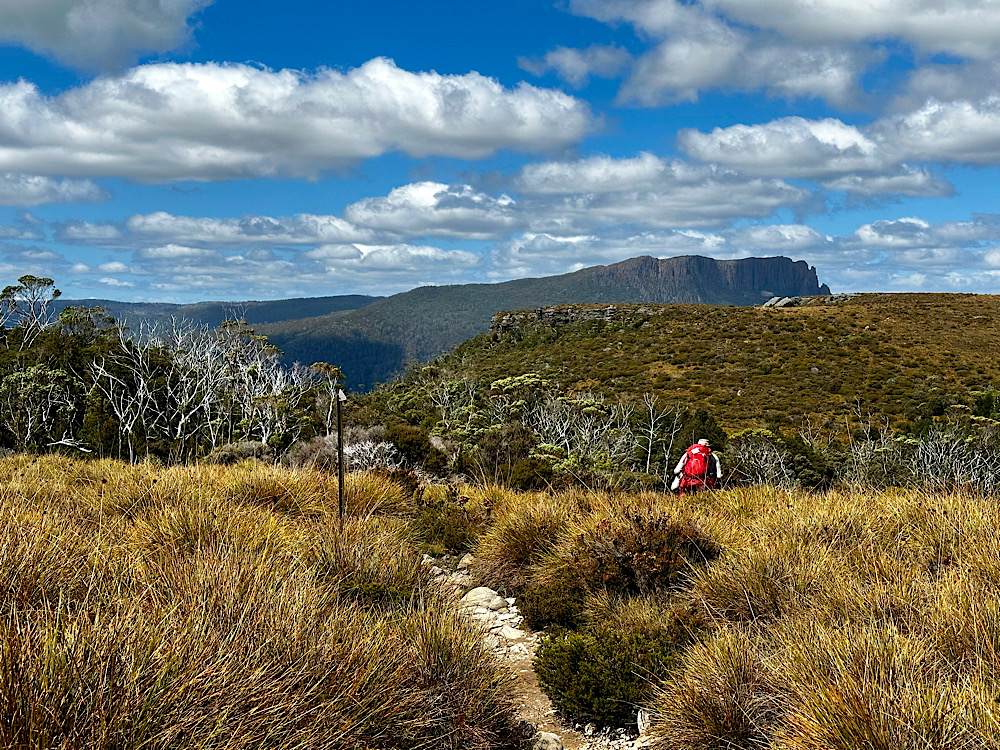
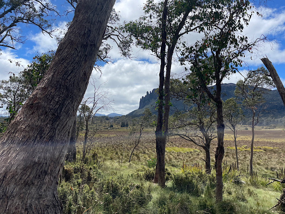
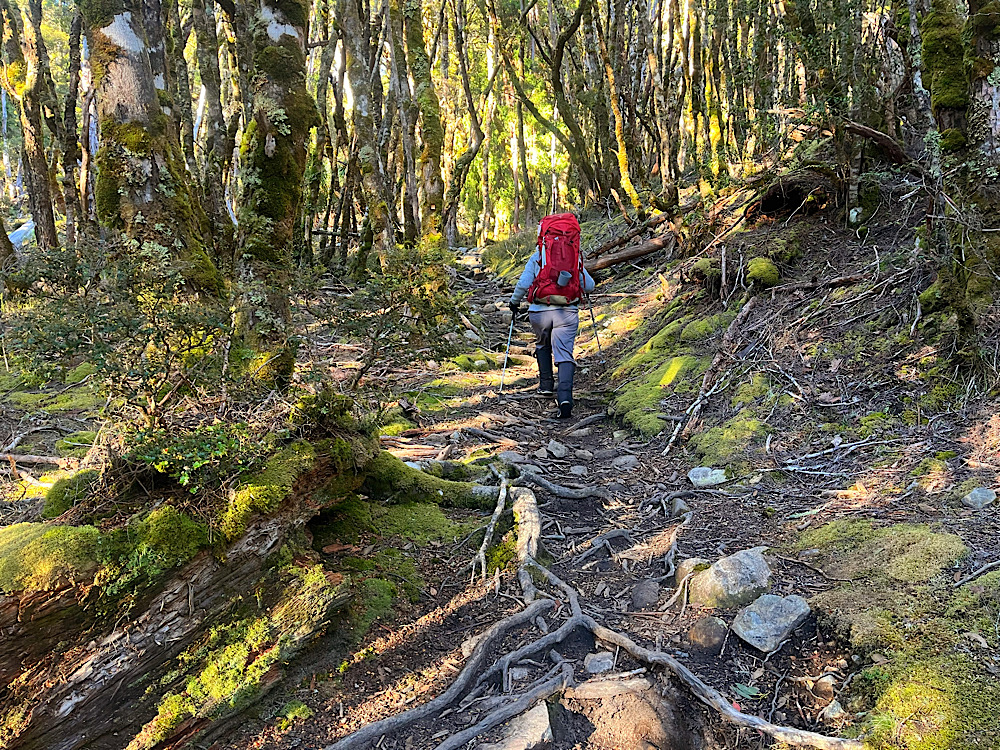
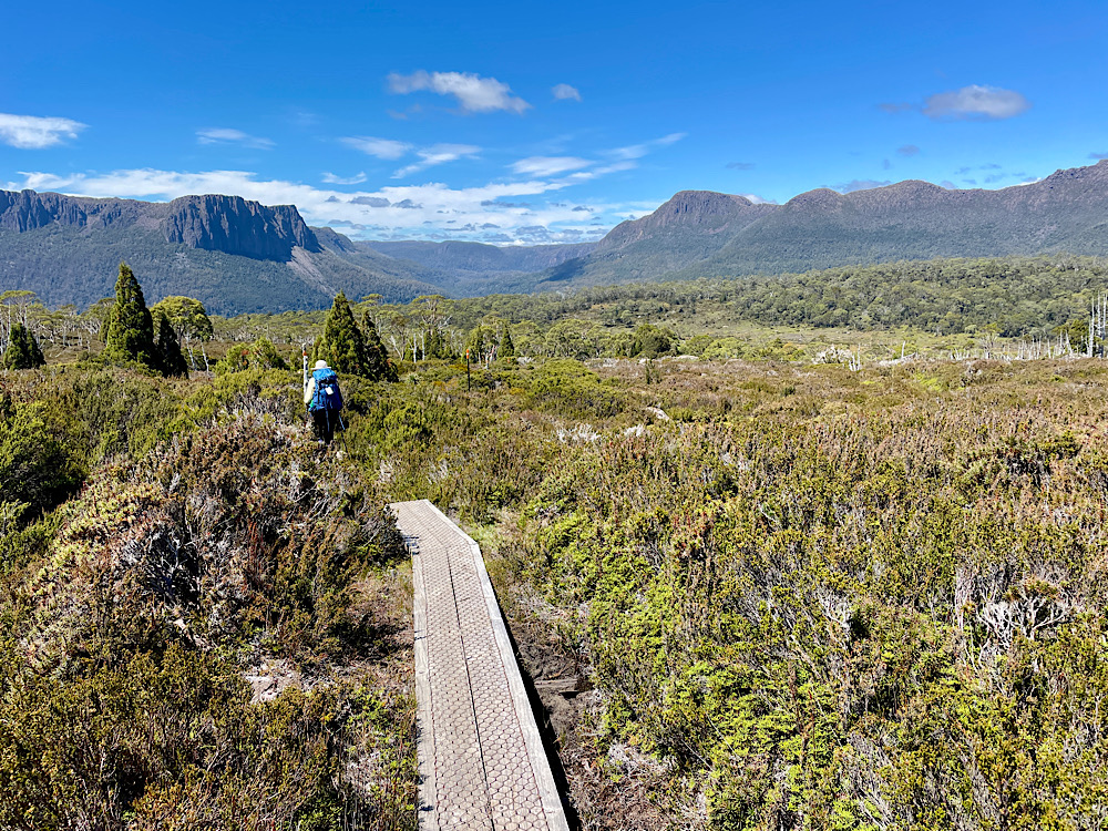
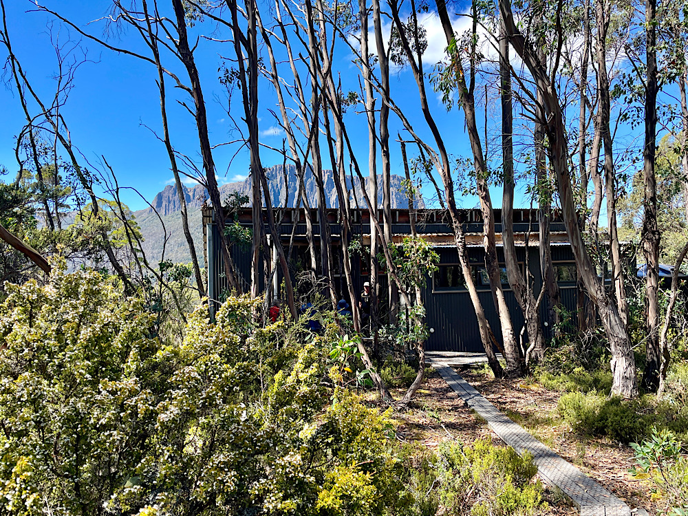
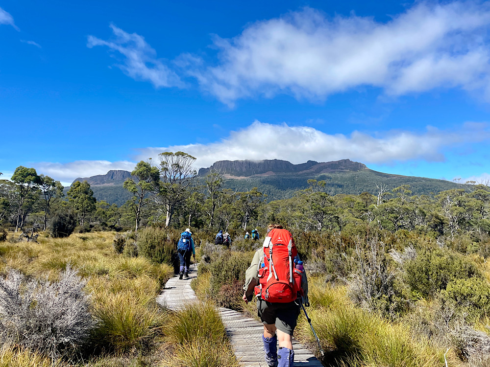
With no more delays we began our first day of hiking at 11am. Today is the longest and hardest day of the hike and will take us about 7 hours before we arrive at Barn Bluff Hut.
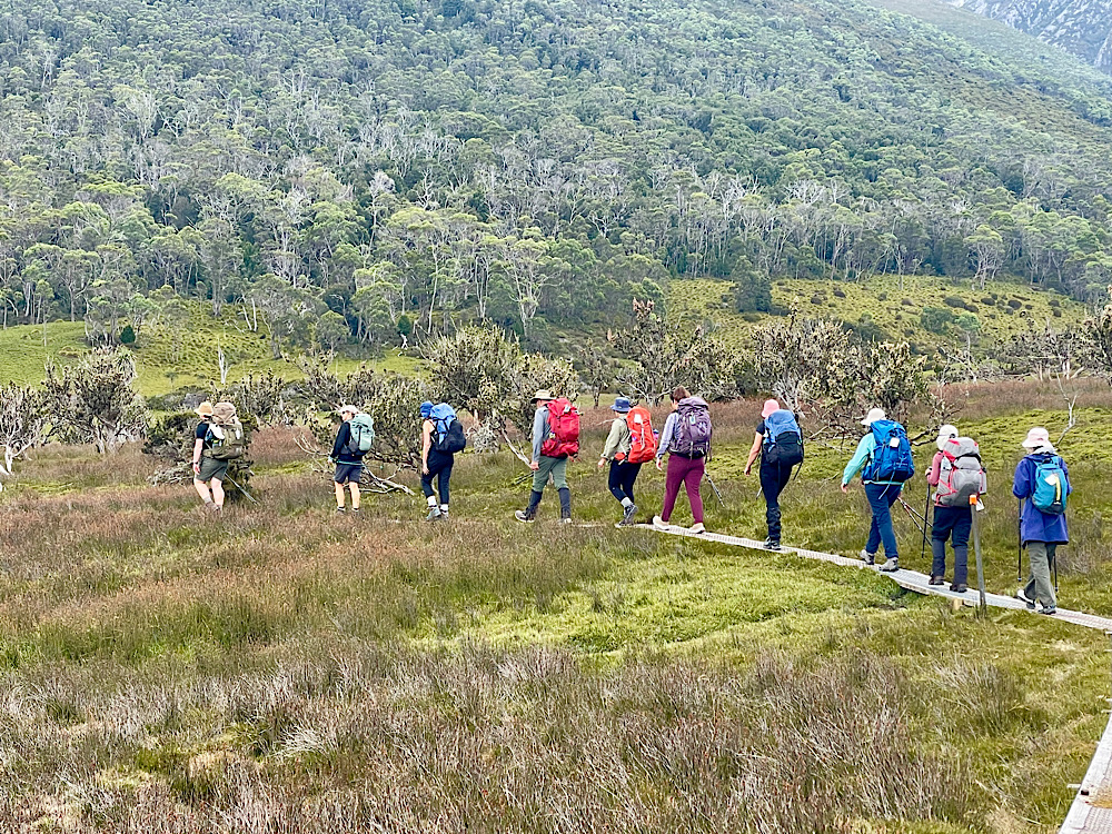
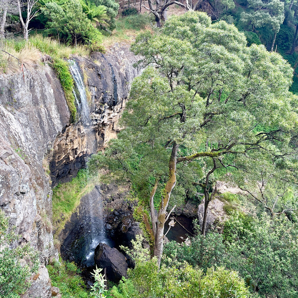
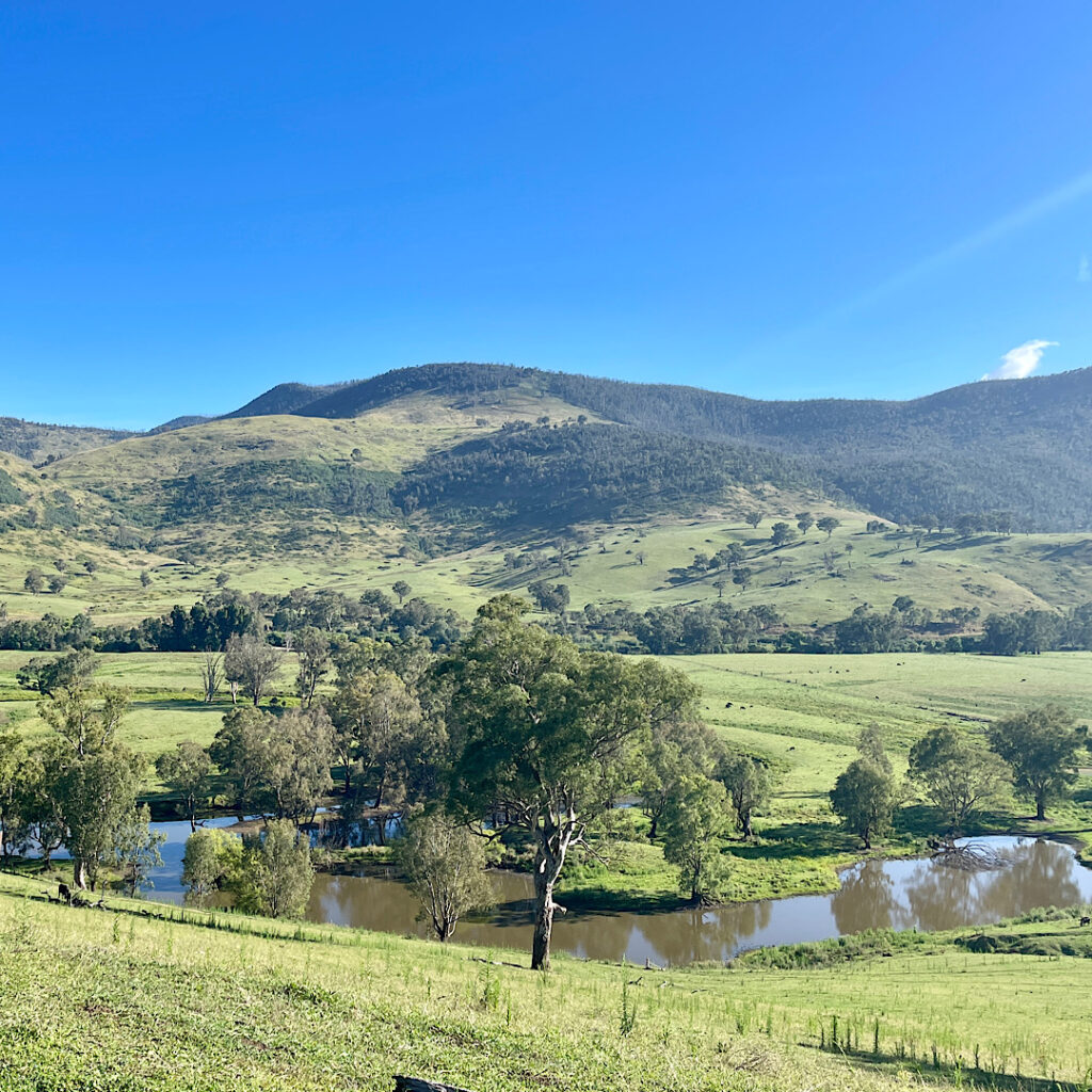
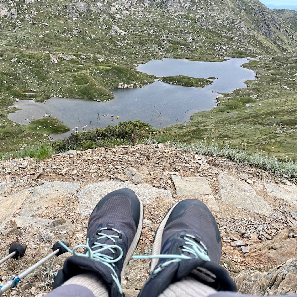
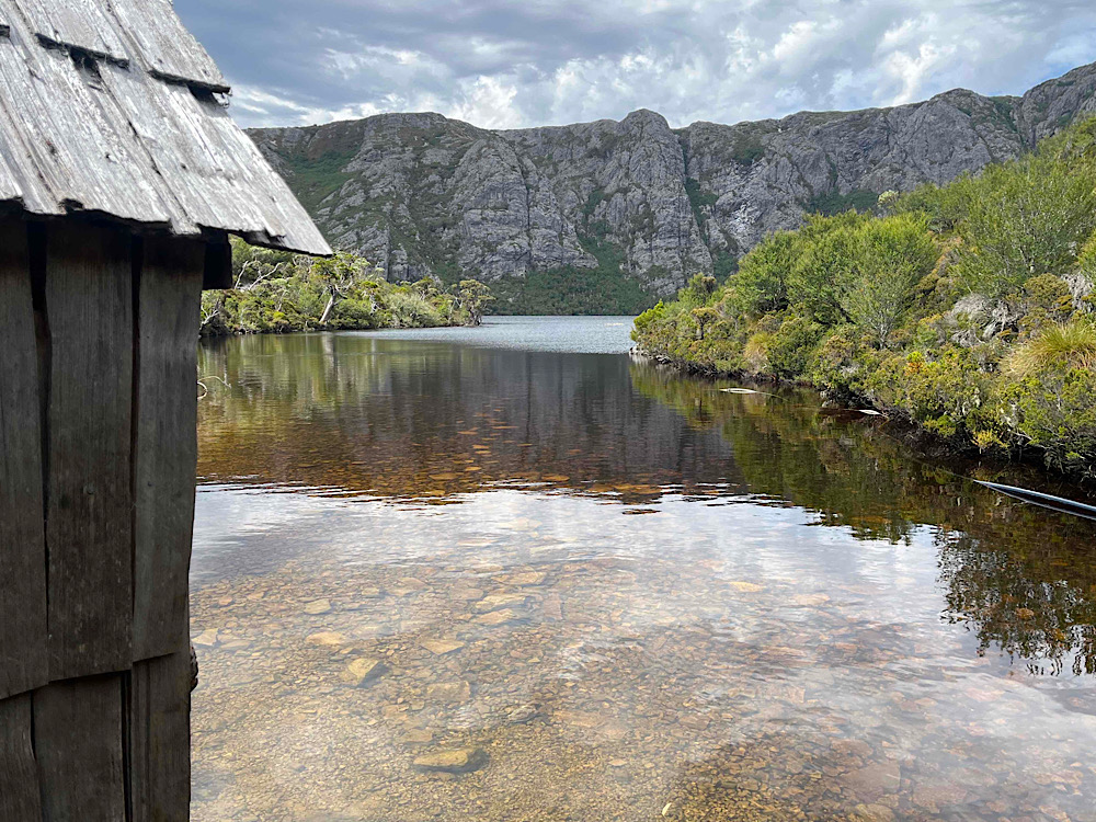
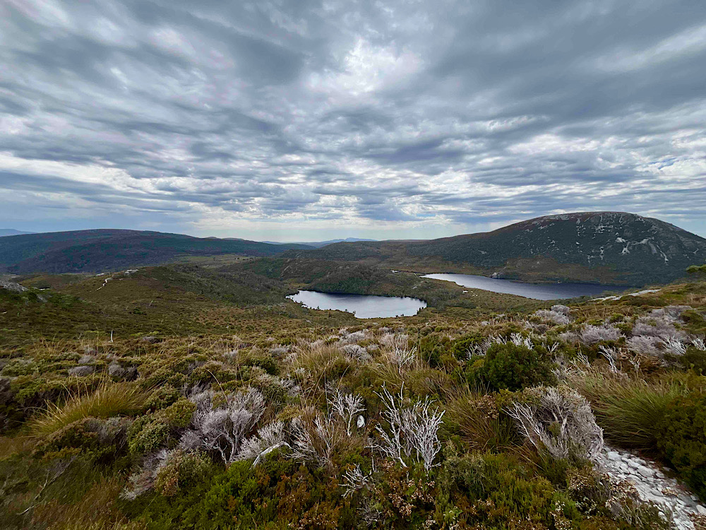
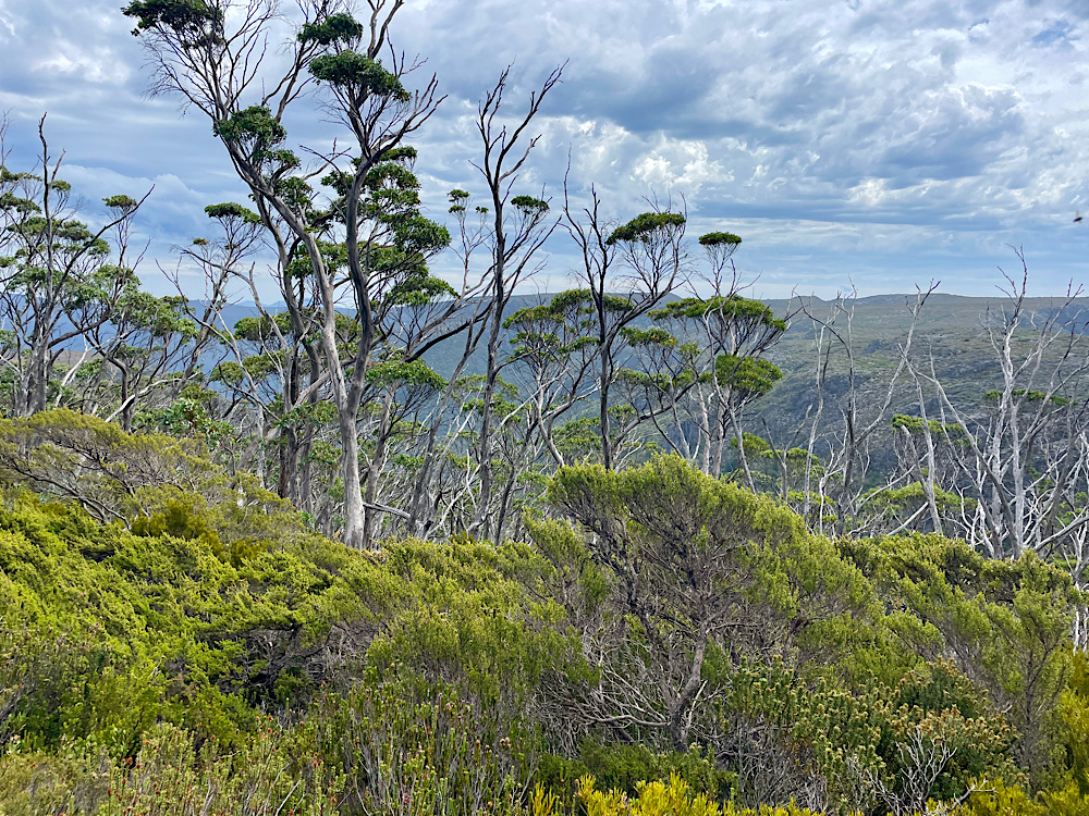
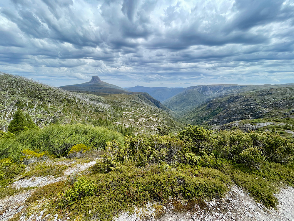
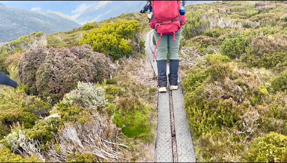
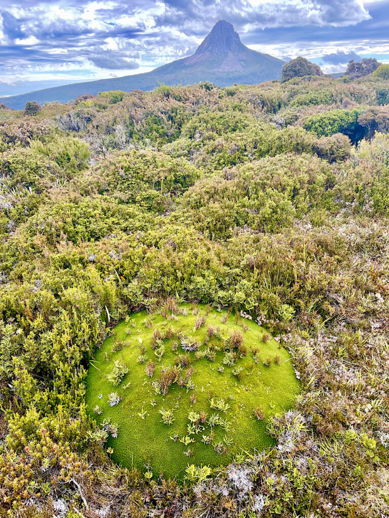
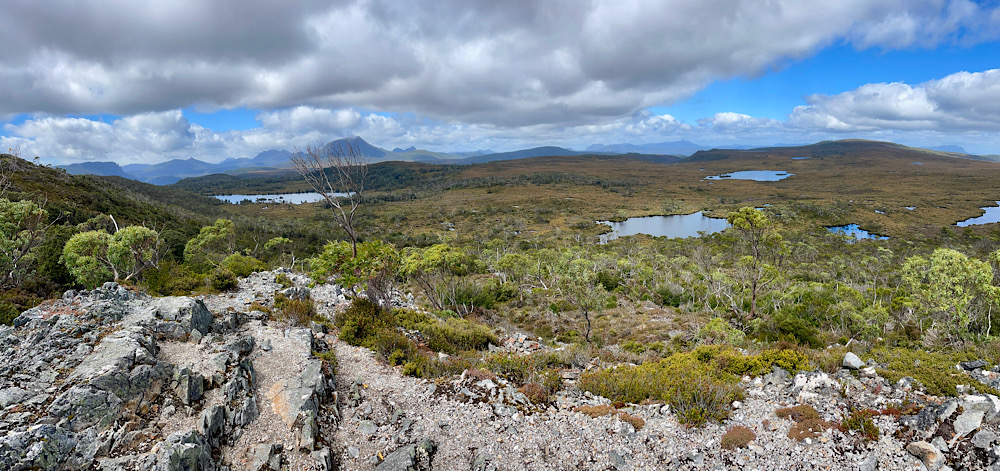
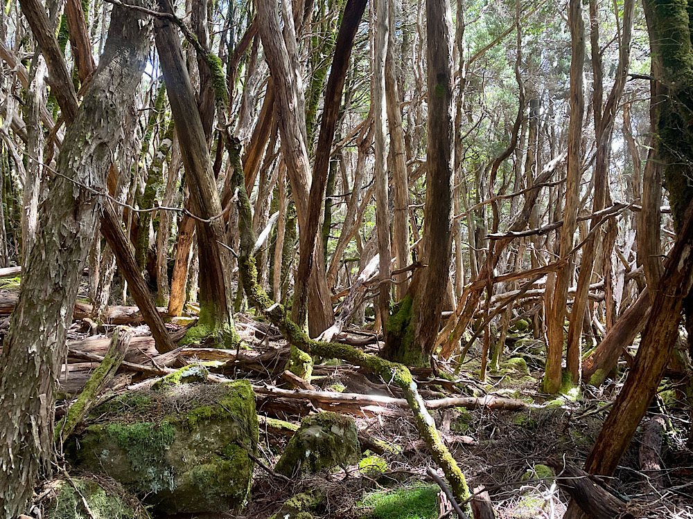
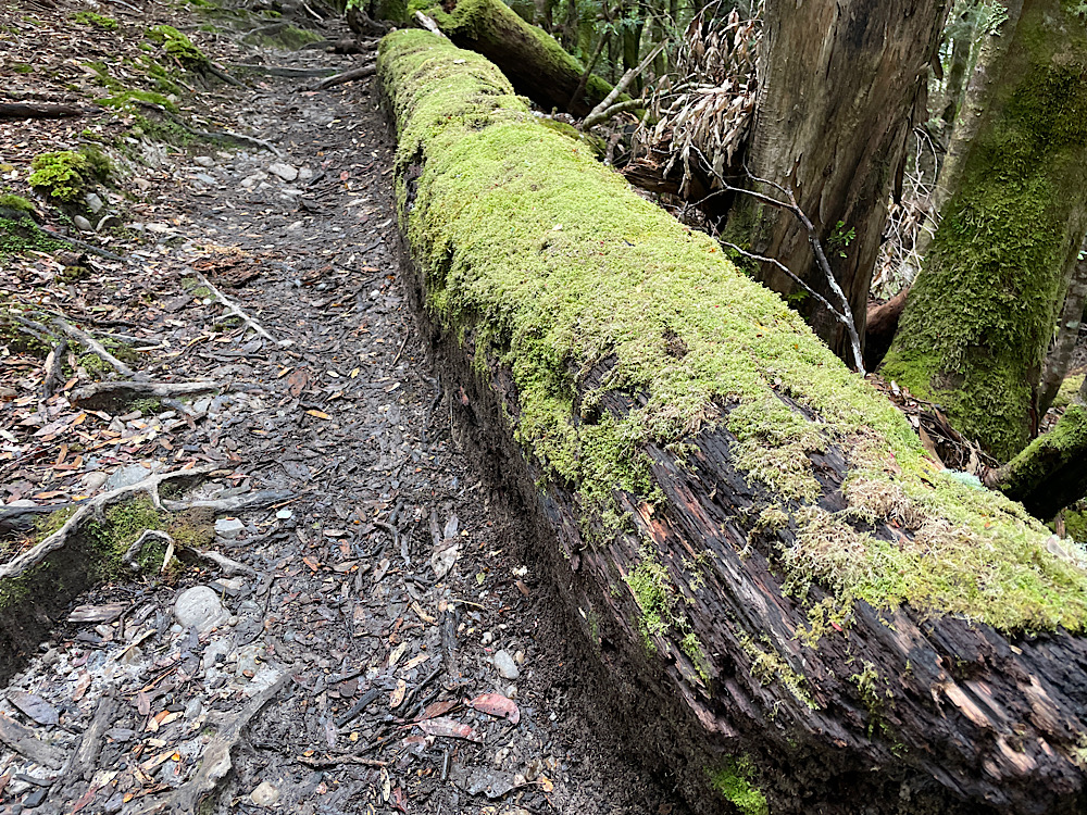
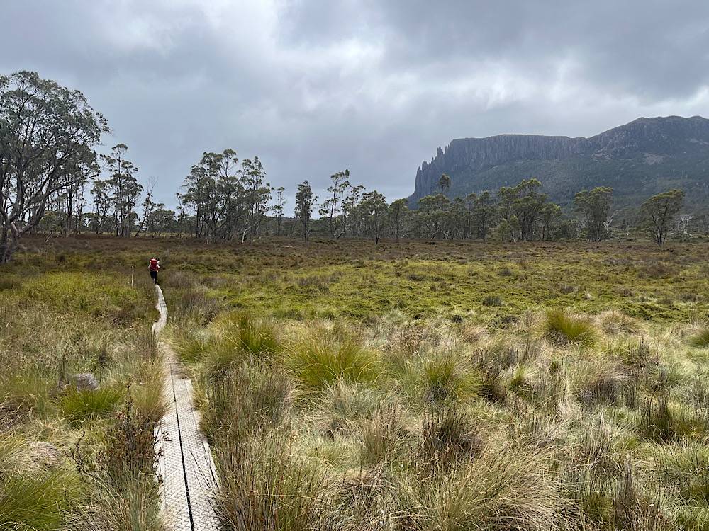
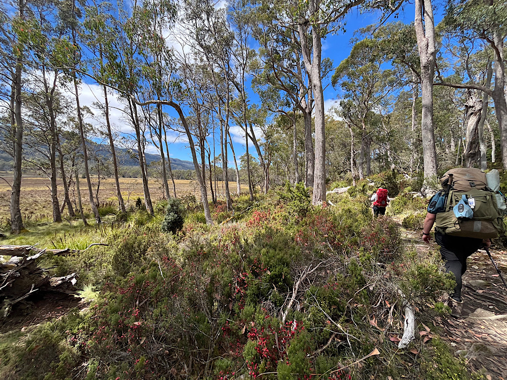
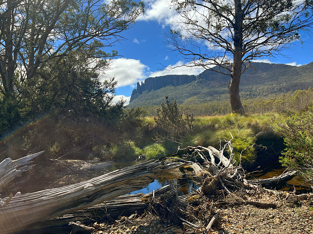
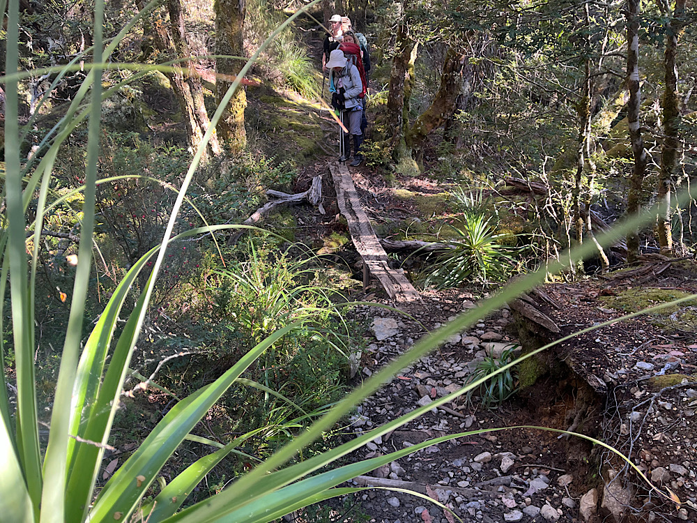
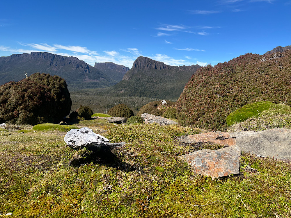
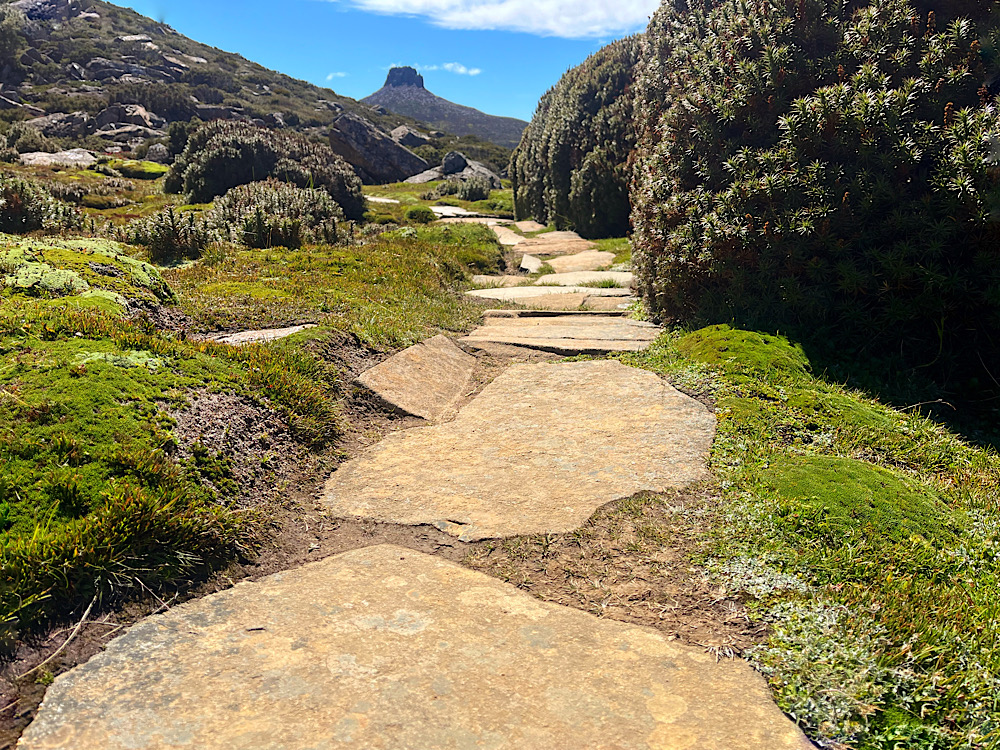
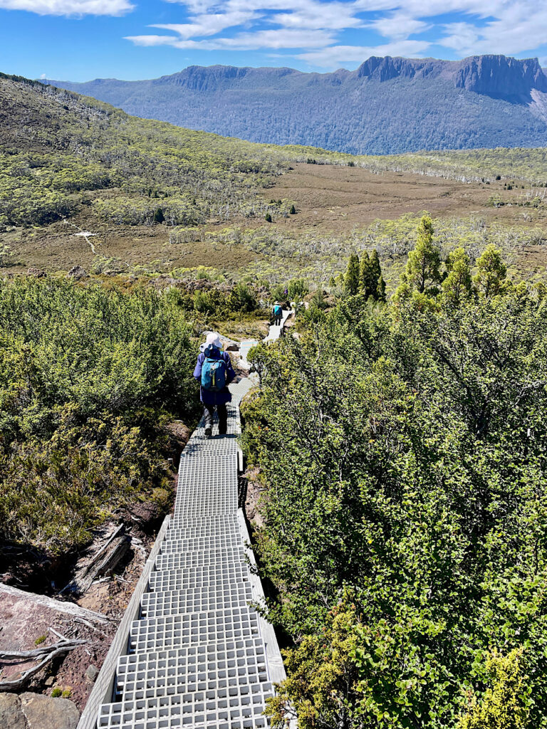
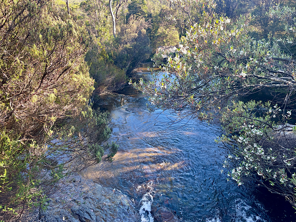
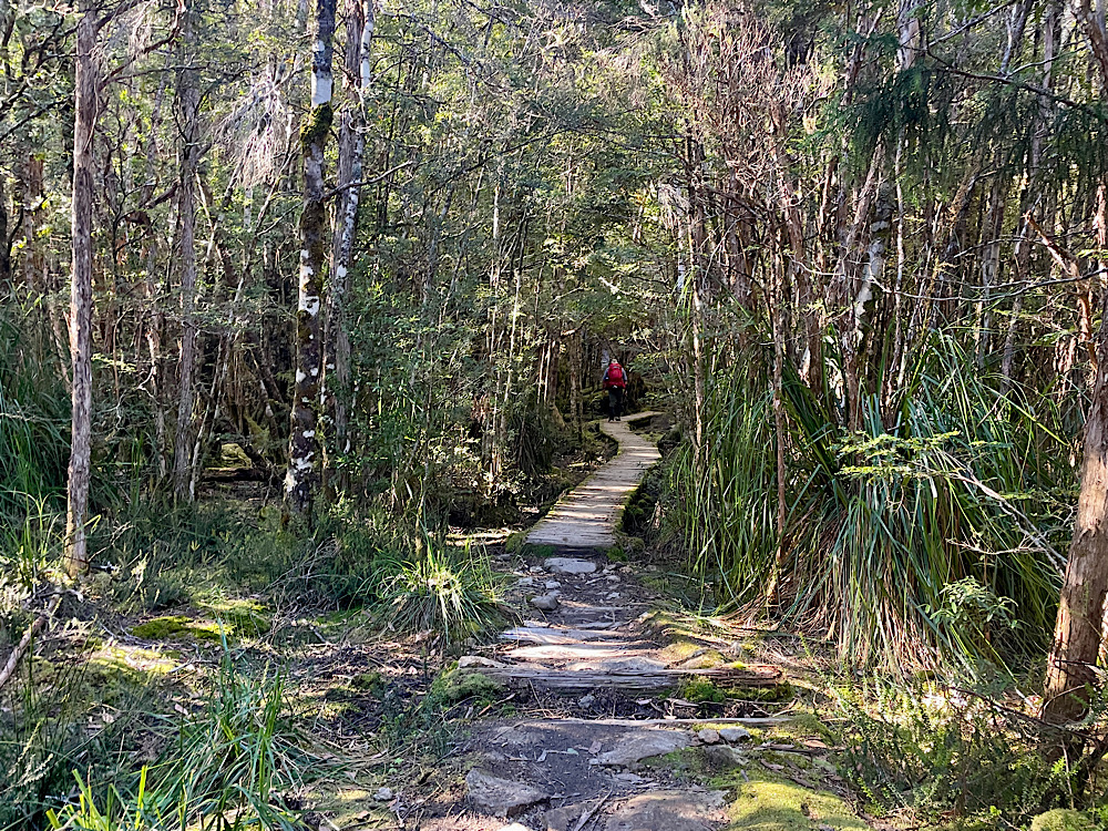
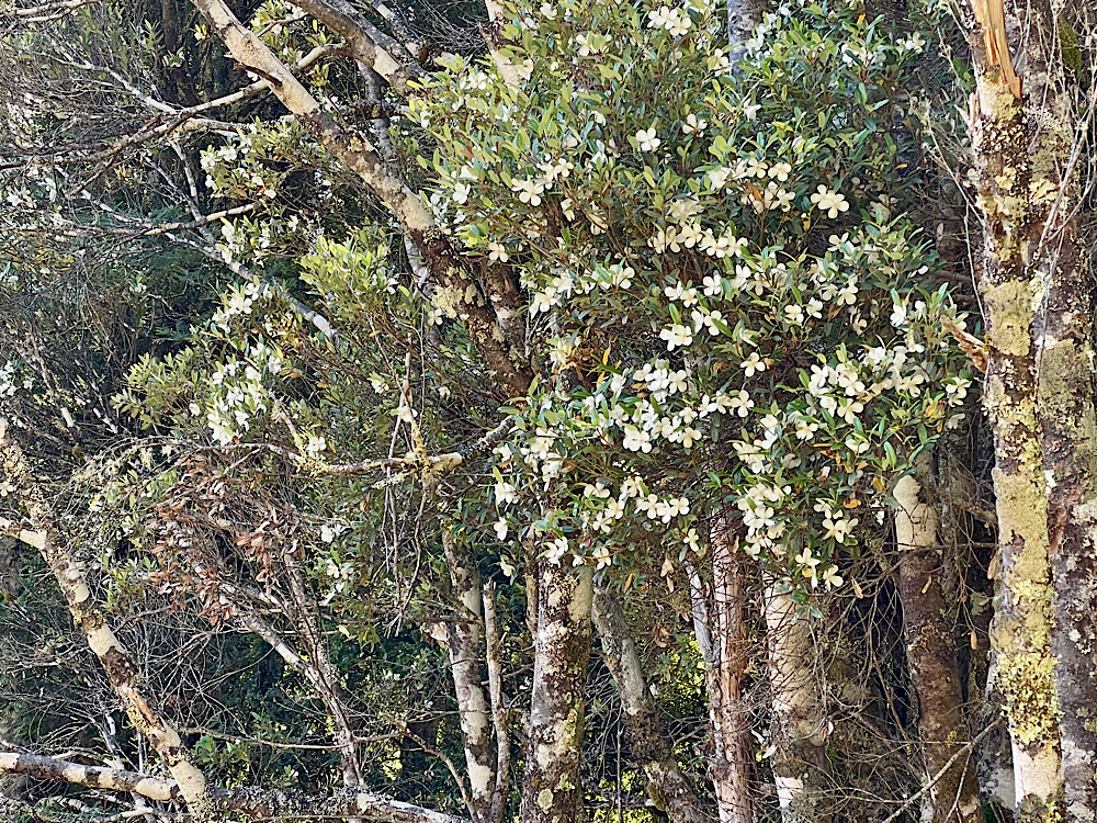
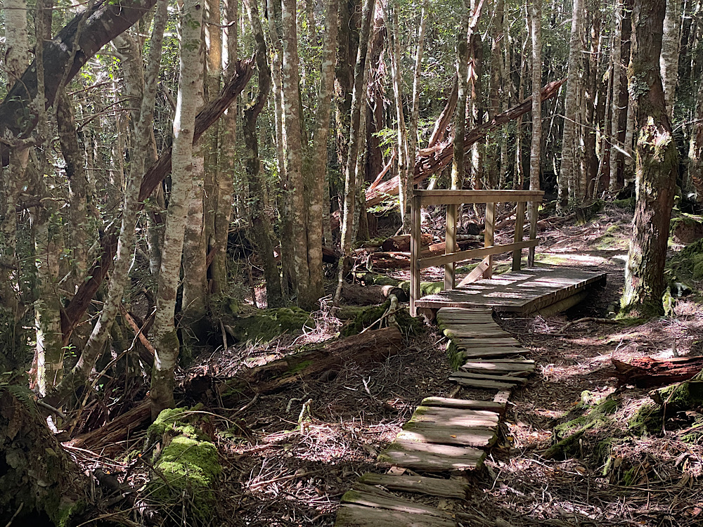
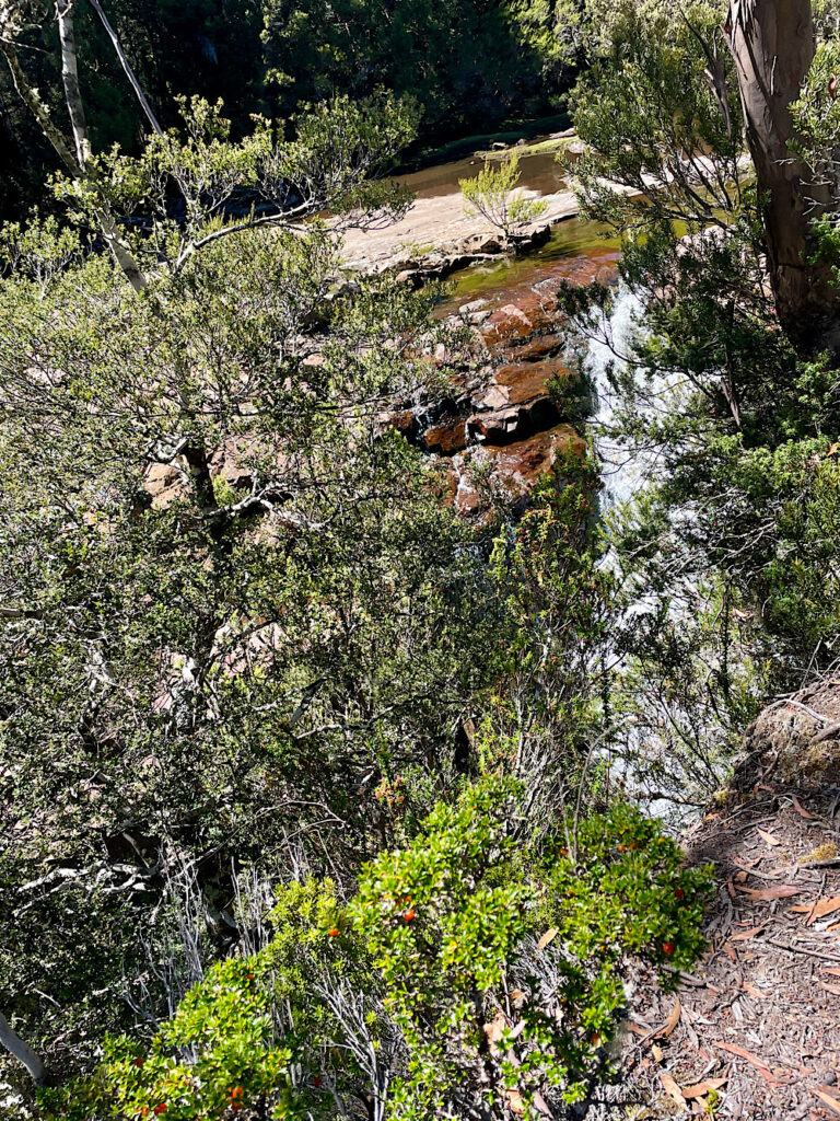
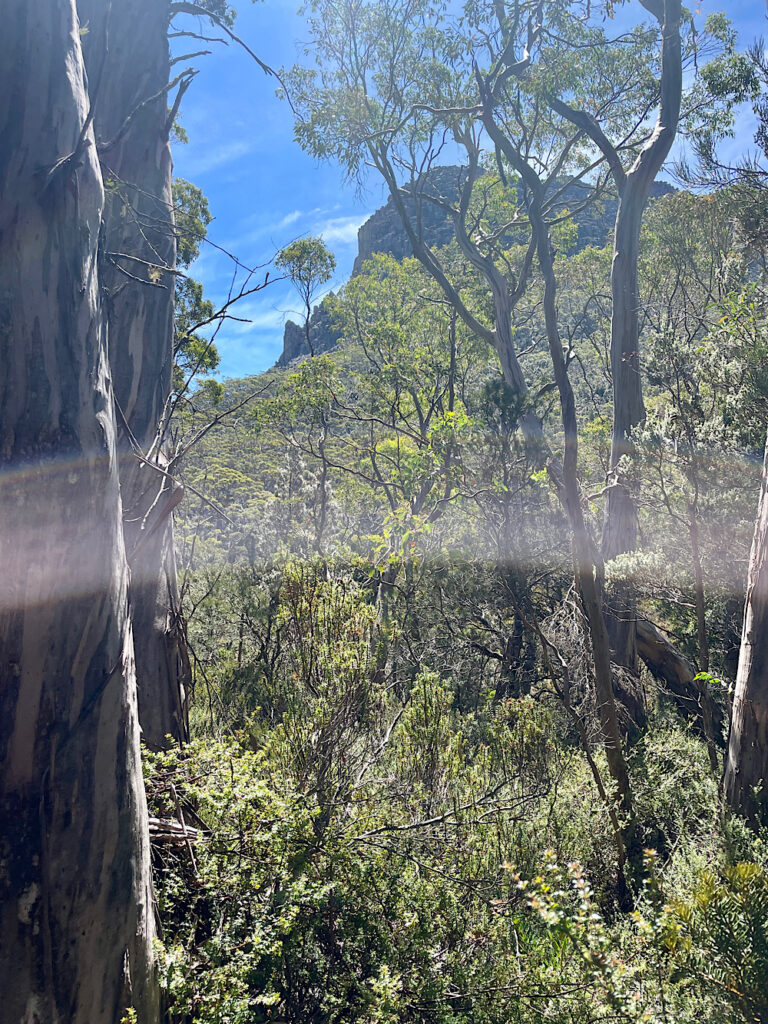
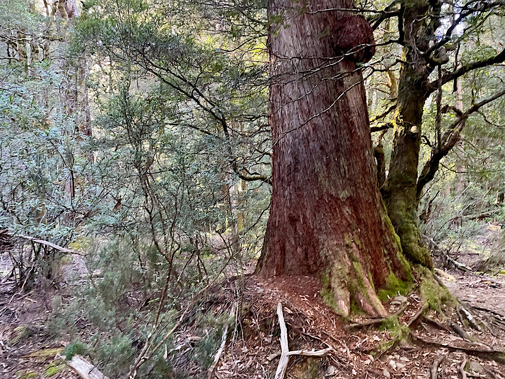
The track is initially an easy, though narrow boardwalk through buttongrass plains. A gradual ascent brought us to temperate rainforest, which I didn’t expect to find here. A lovely waterfall cascades into Cradle Lake – a glacial cirque. We hiked alongside this beautiful lake until it was time to start climbing. Along with dolerite peaks, glacial cirques are a feature of the hike, the largest and deepest being Lake St Clair.
11.30am
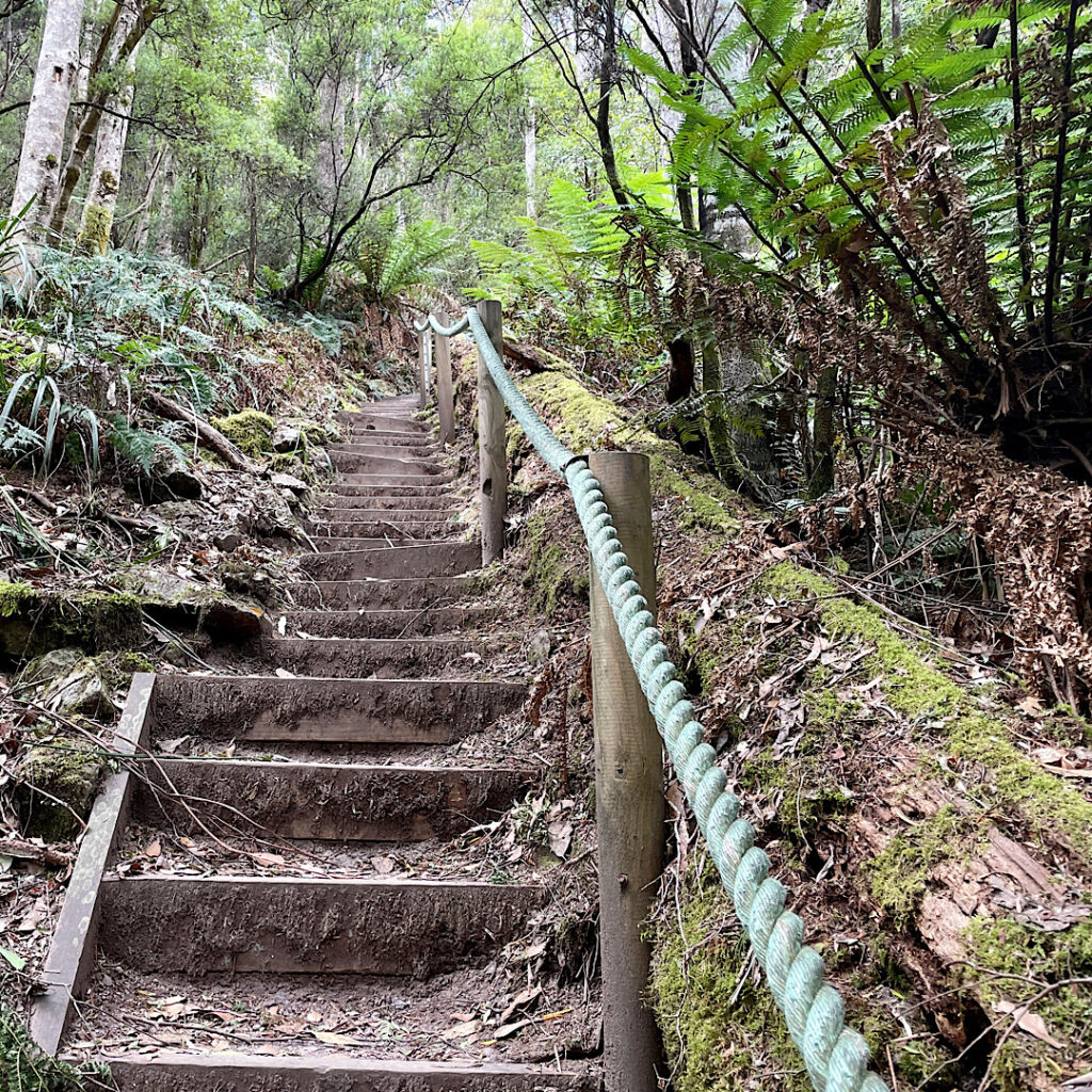
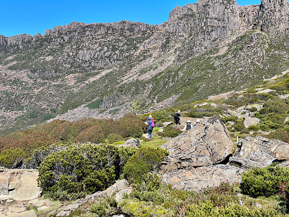
For the next two kilometers we’ll continue to climb culminating in the steep ascent to Marions Lookout at 1,250m high. The path is now irregular stone steps.
12.30pm
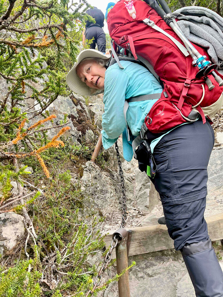
The final ascent of Marions Lookout is brutal. The stone ‘steps’ are very irregular, some being more than knee height above the last. A loose chain ‘handrail’ is a godsend to help pull yourself upward as well as preventing a fall backwards.
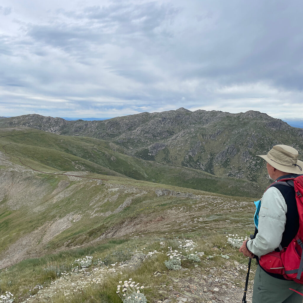
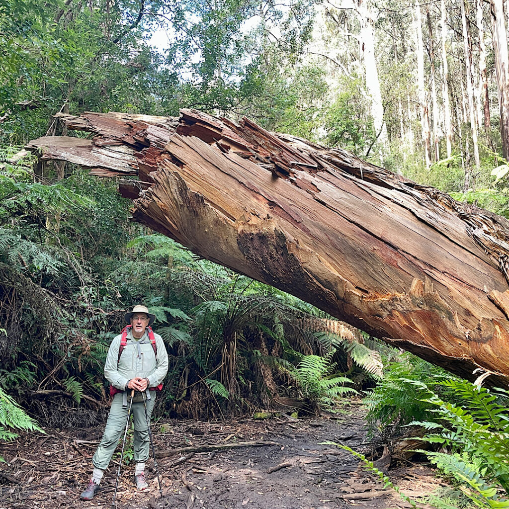
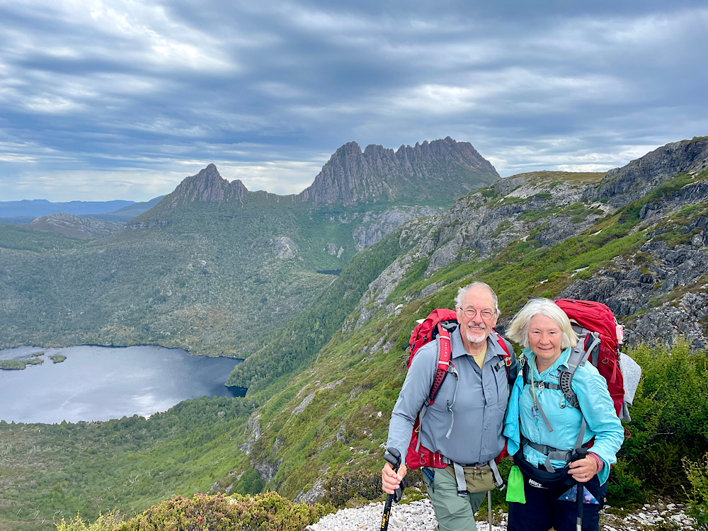
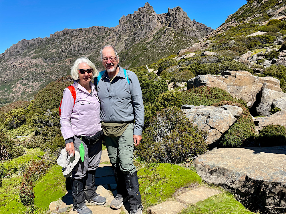
Thankfully we all arrived at the top unscathed to be met with fantastic views in every direction, not the least being Cradle Mountain.
I had been particularly anxious about this section of the hike and was greatly relieved to have done it without a problem and have it behind me now.
1pm
2pm
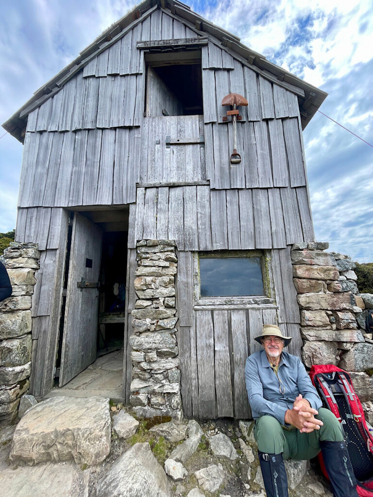
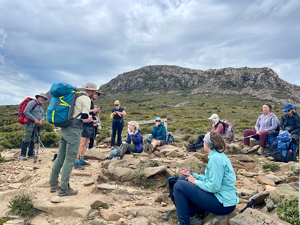
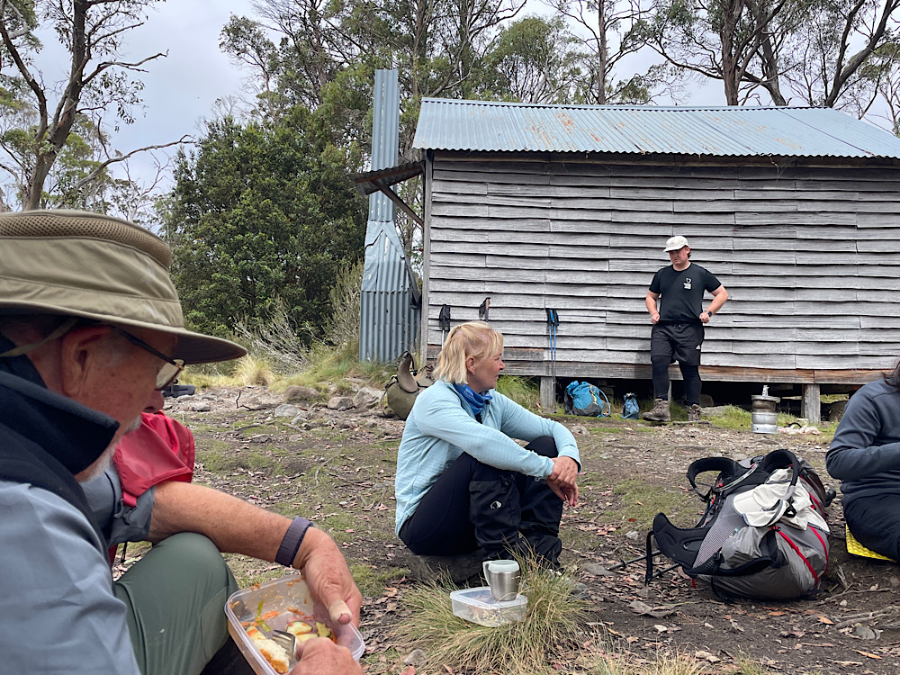
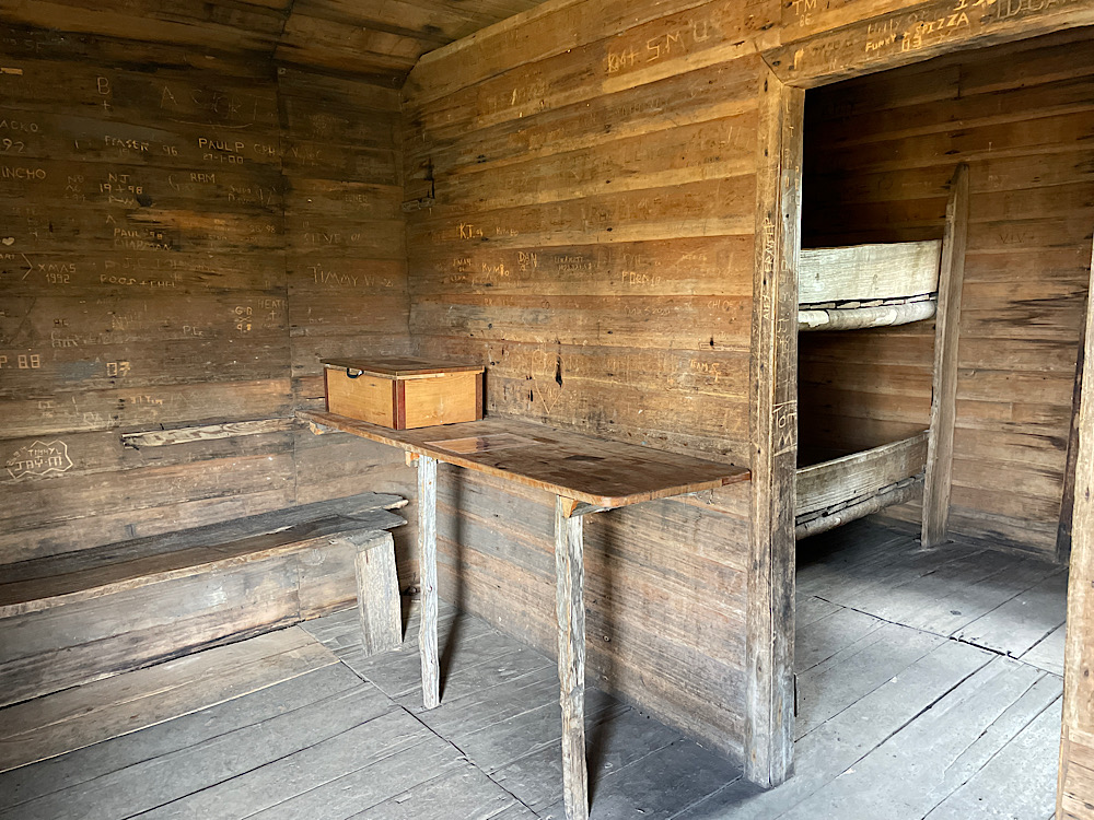
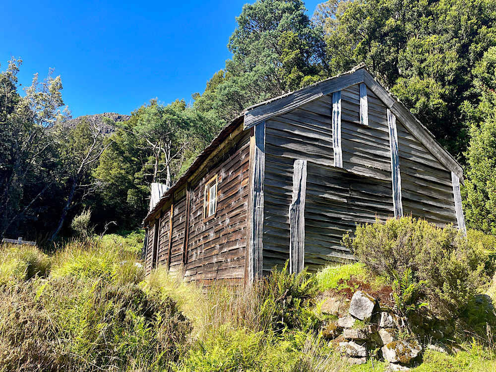
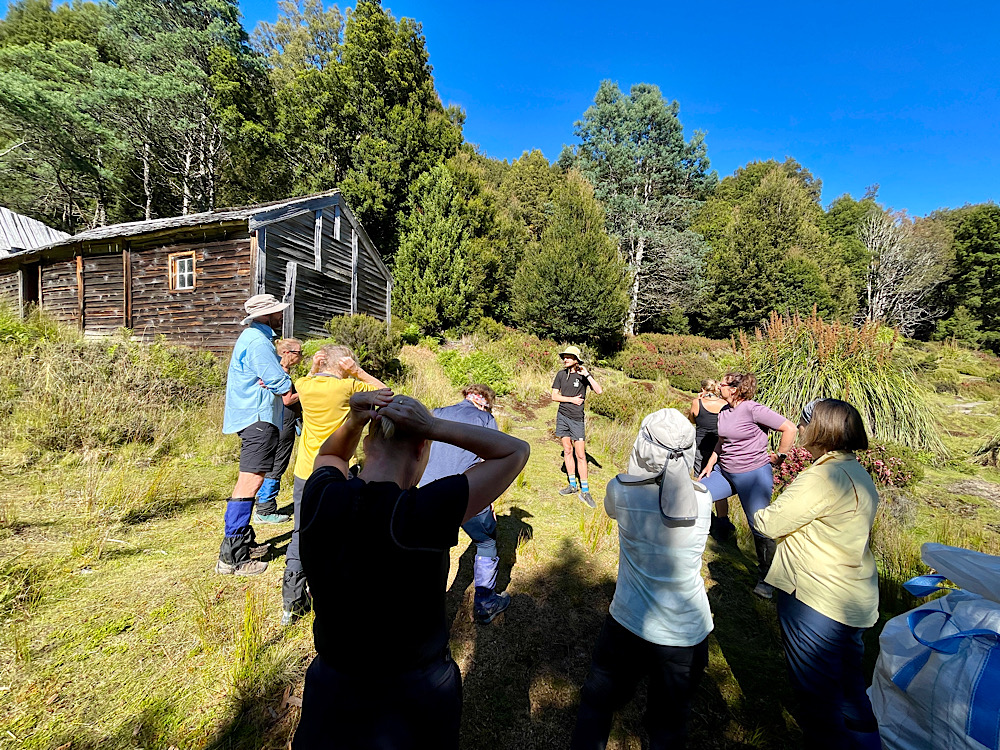
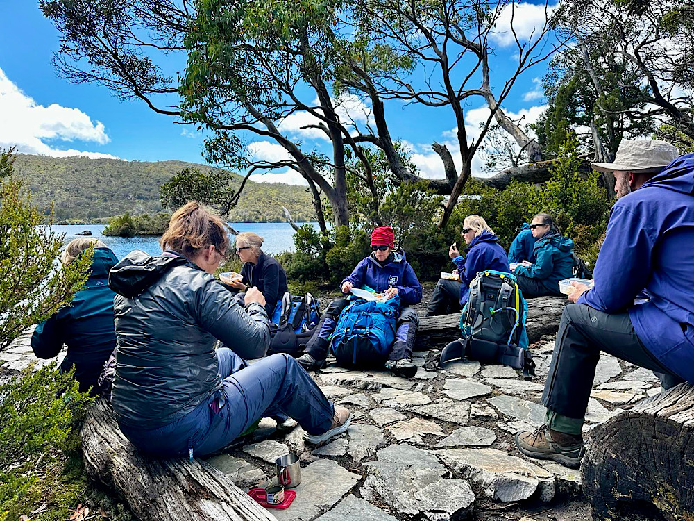
Our hungry group rested at Kitchen Hut for lunch. Kitchen Hut is one of the older historical huts along the Track, and like the other huts is not to be used as an overnight hut except in an emergency.
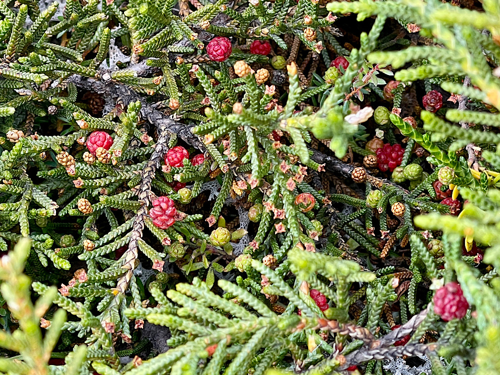
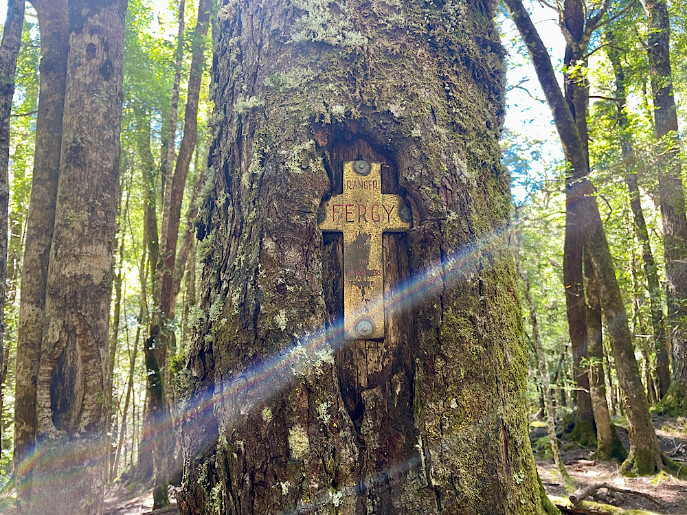
Sam (guide) is a wealth of information about the geology and plants of this region.
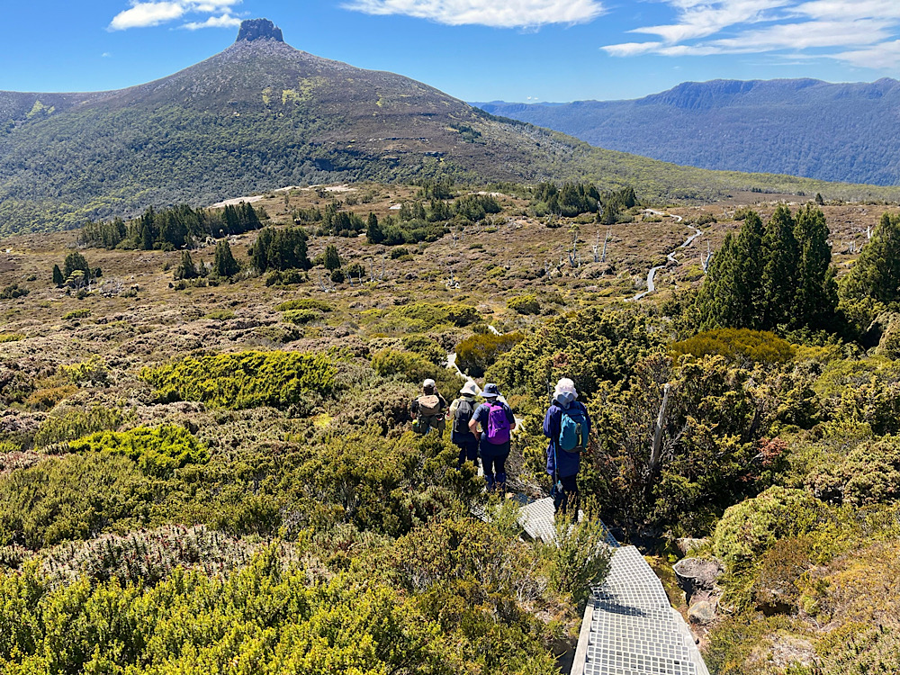
After a fair amount of hiking I asked Guide Milo how much further, “Not far – just there at the base of Barn Bluff”.
3pm
4pm
4.20pm
5.30pm
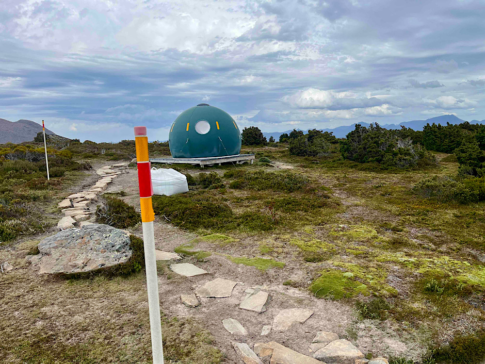
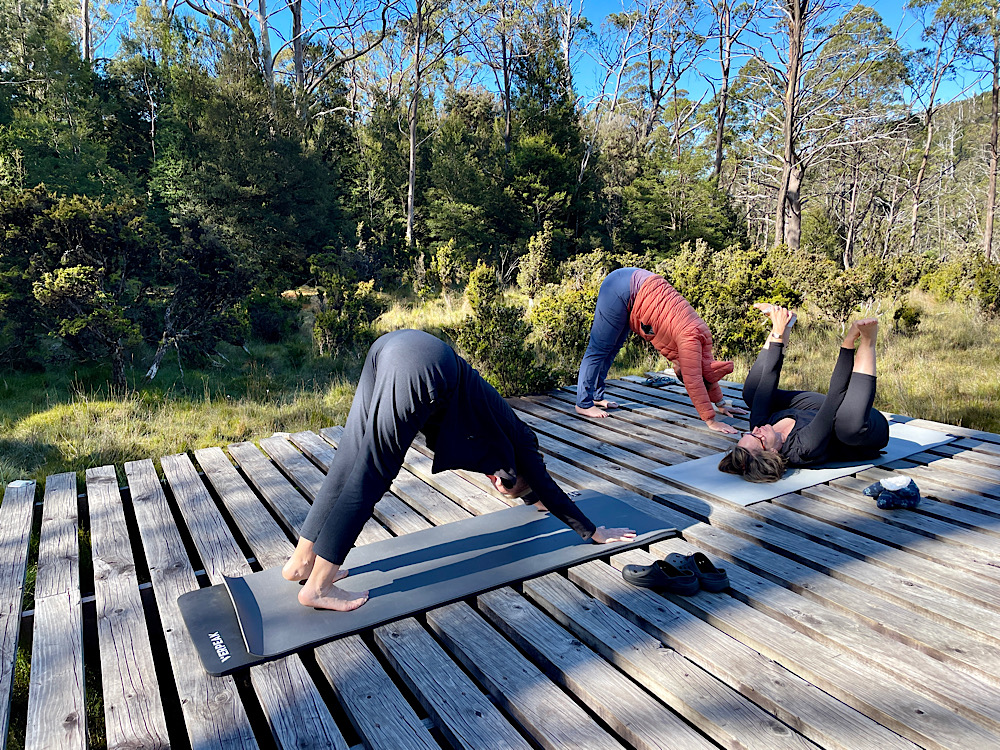
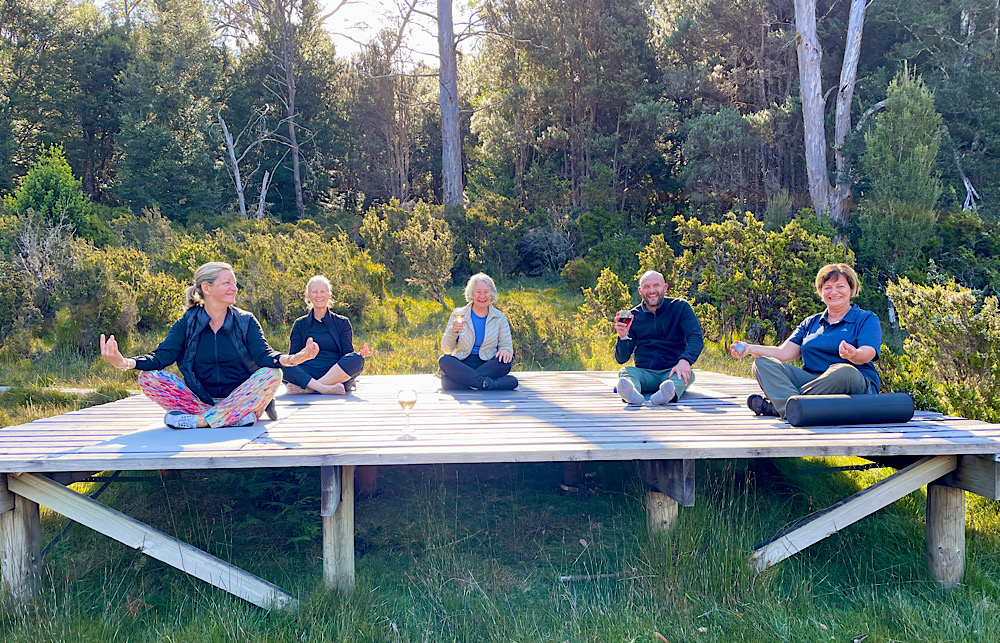
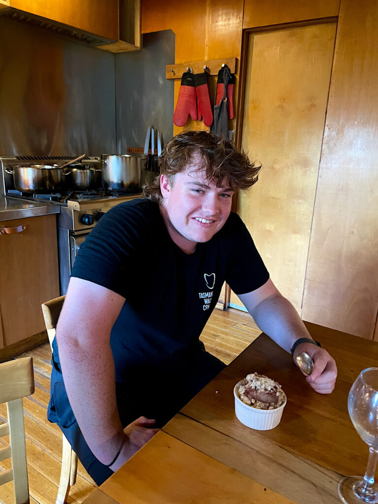
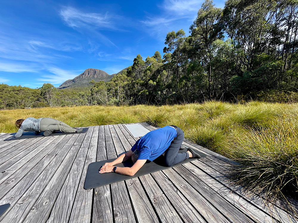
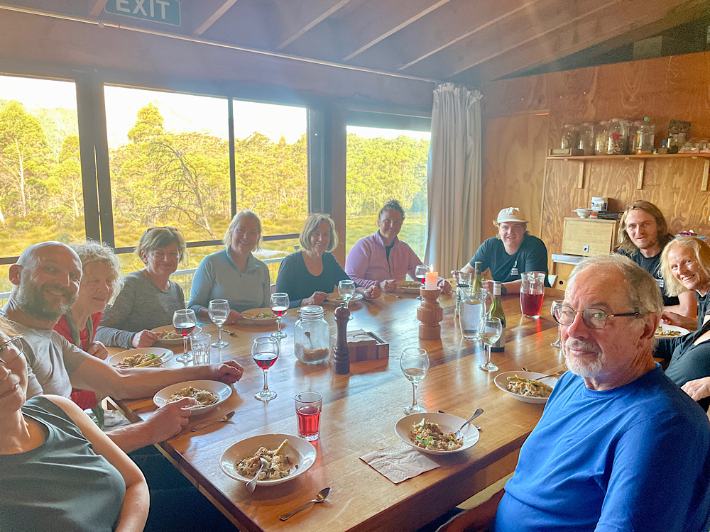
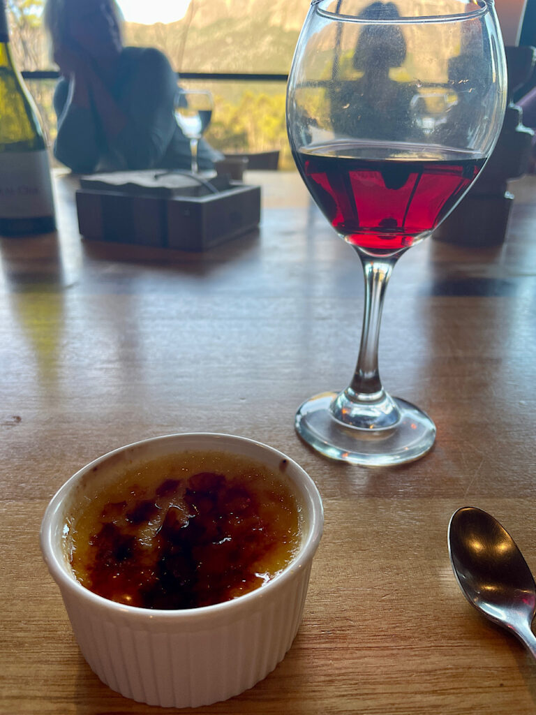
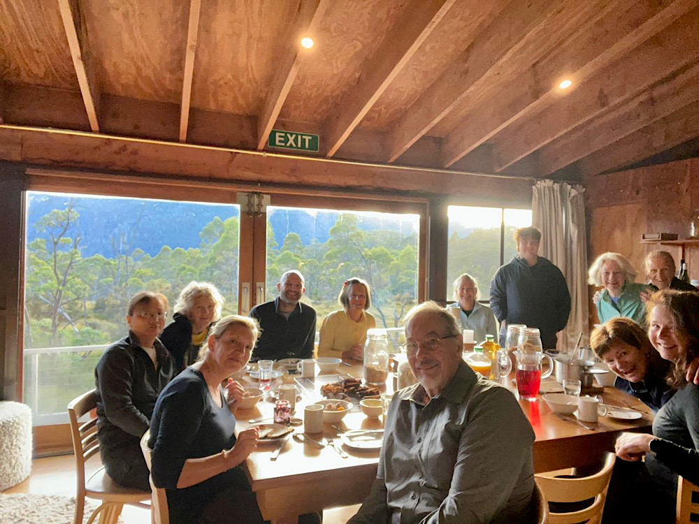
First sight of the hut was a thrill, which just got better. Guide Milo had gone on ahead and made afternoon tea for us, soon to be followed by wine and cheese while dinner was fresh grilled salmon and salad. Can’t remember dessert, but it was delicious too. Each of the five huts we would stay in had six 2-bed rooms, toilets and hot showers in the hut, a drying room for wet clothes, big lounges in a lovely community room, yoga mats, a library with the same books in each hut so you could pick up where you left off, and outside was the helipad – always with an amazing view. This was the spot to take the yoga mats each afternoon for stretching, yoga and wine drinking.
Day 1 was exciting, daunting, awe-inspiring, surprising and exhausting. Guide Sam commented on how much he loved the Overland because every 20 minutes it changed – so true. It’s been a great start to our Overland Track adventure and there’s still 5 days to go.
Wednesday 14th February
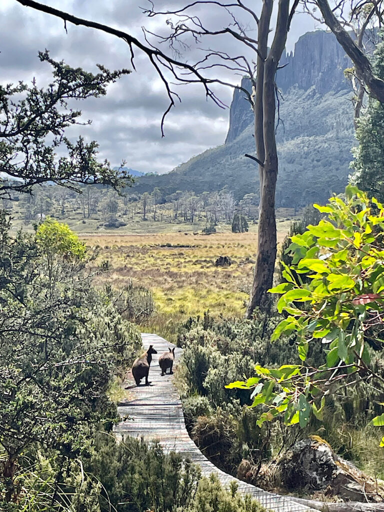
Day 2: Barn Bluff Hut to Pine Forest Moor Hut (6 hours walking)
Great excitement this morning over breakfast – it’s snowing! WOW it was lovely to view through the plate glass windows of our lovely warm hut. Realisation soon struck that we’d have to start walking soon. Fortunately it was only light and soon melted, though light rain and wind hung around most of the morning.
8.30am
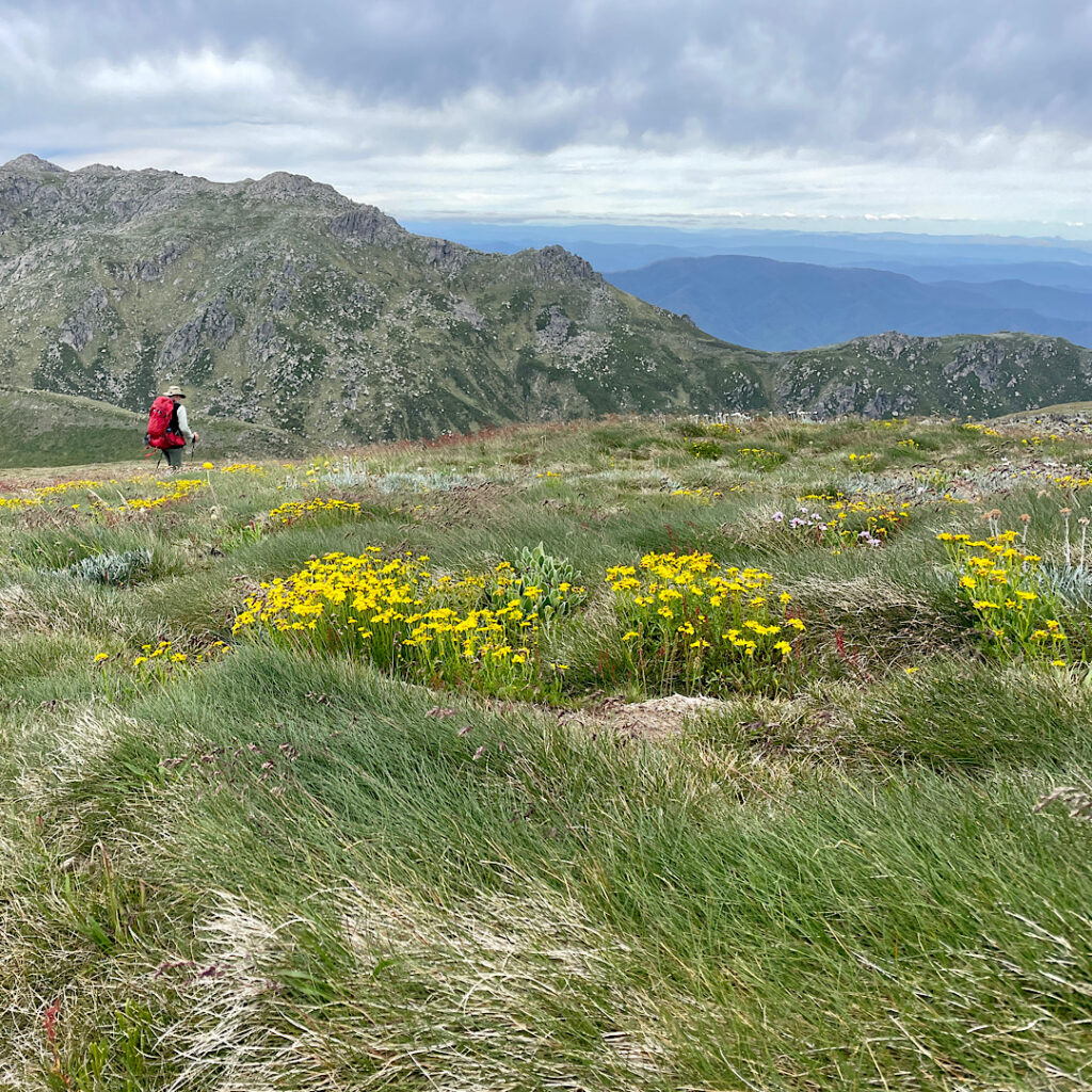
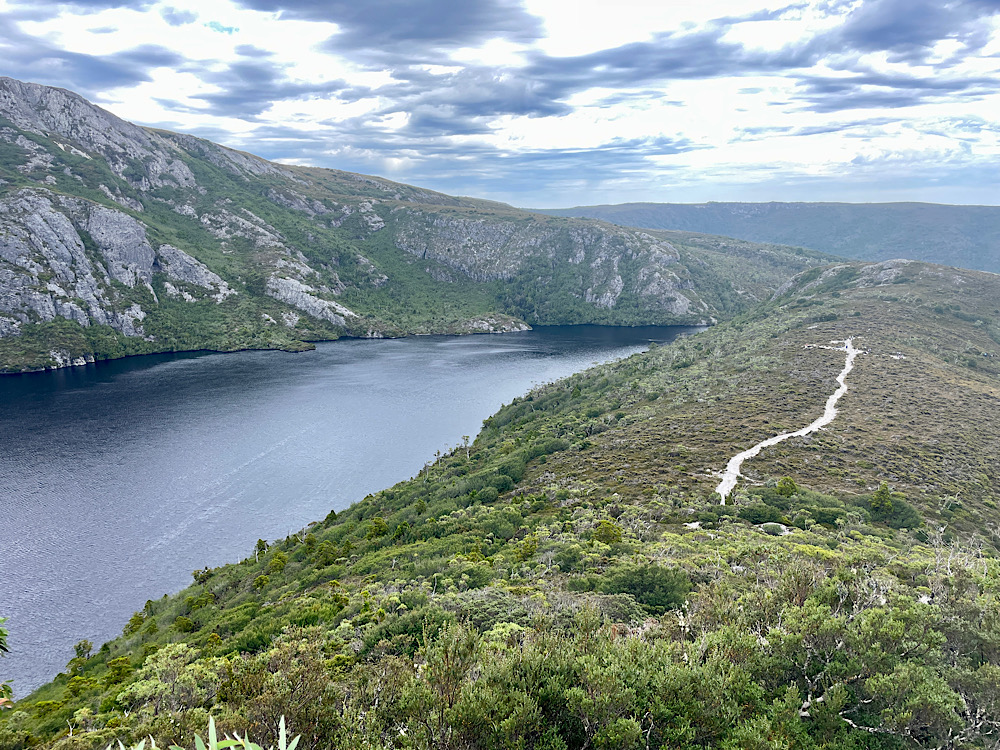
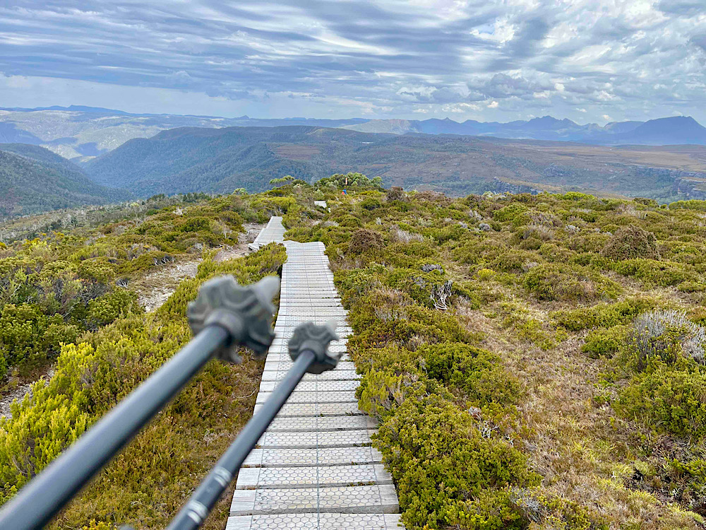
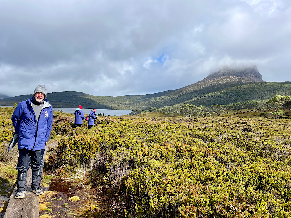
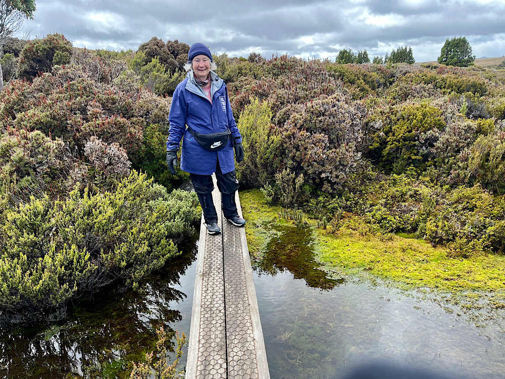
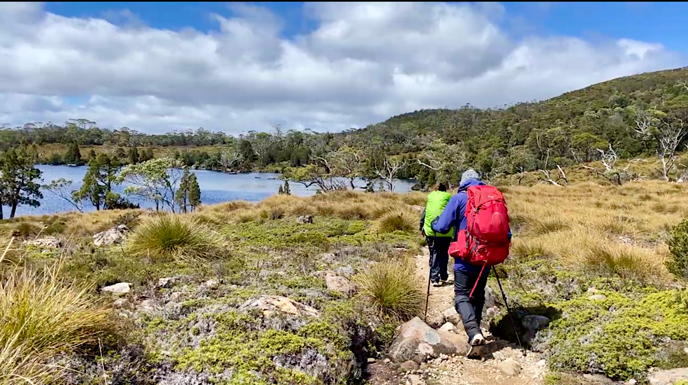
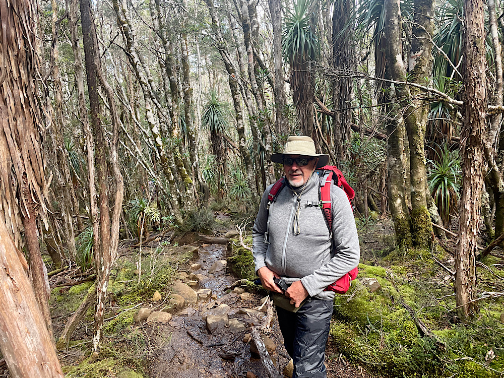
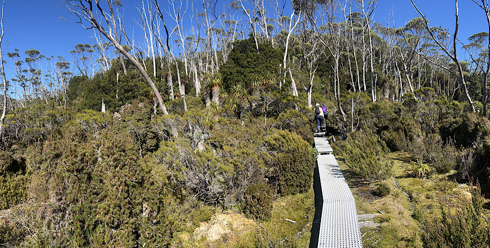
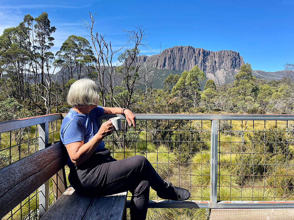
There are many side trips that can be done from the main track. We’ll do a few of them, Lake Will being the first. It’s not far from our hut to the turnoff to Lake Will. The path through alpine heathlands is duckboard and made for easy walking.
10am
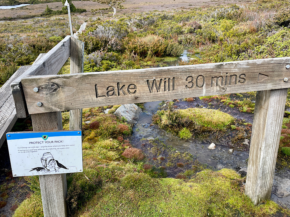
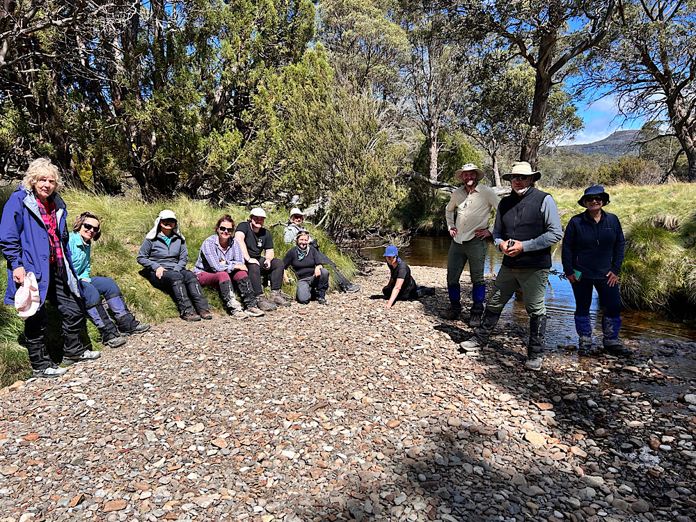
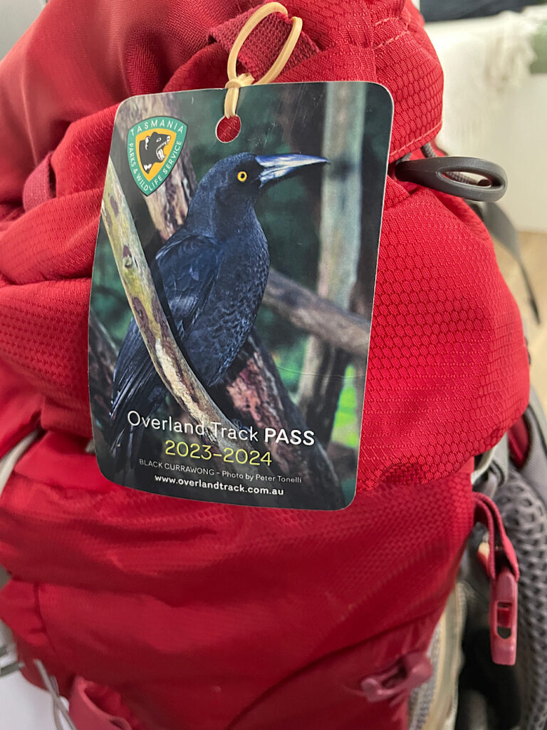
Note the warning sign about protecting your pack. At each of the side trips there’s somewhere you can leave your big pack and take only a light pack in with you. However – the currawongs (a bird) have learnt how to open zips and will make quite a mess of your pack searching for food. The solution is to put the pack rain cover on covering all the zips, then mound the packs up together all facing inward.
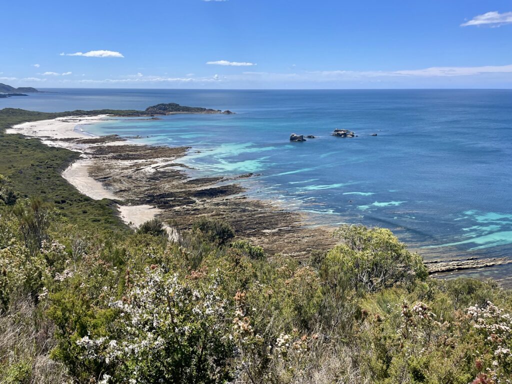
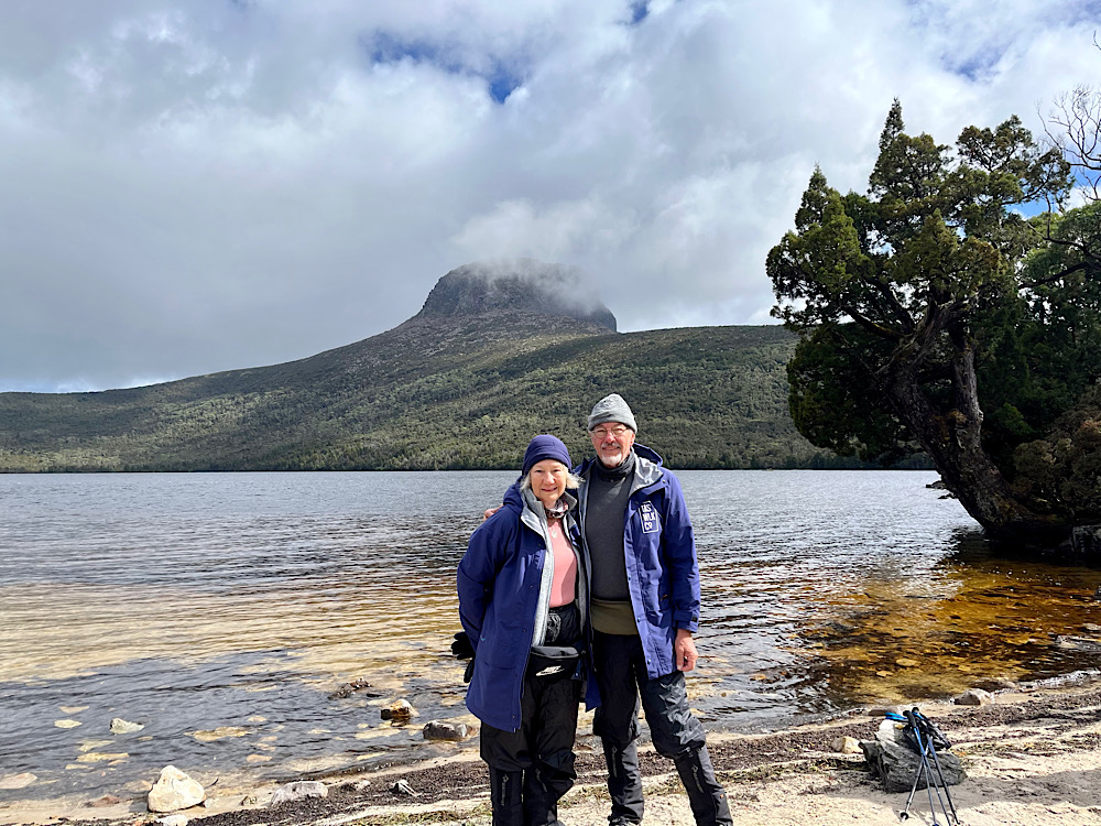
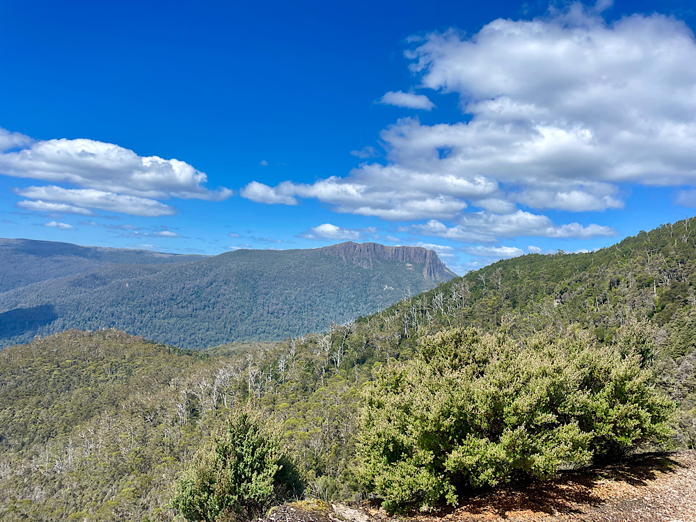
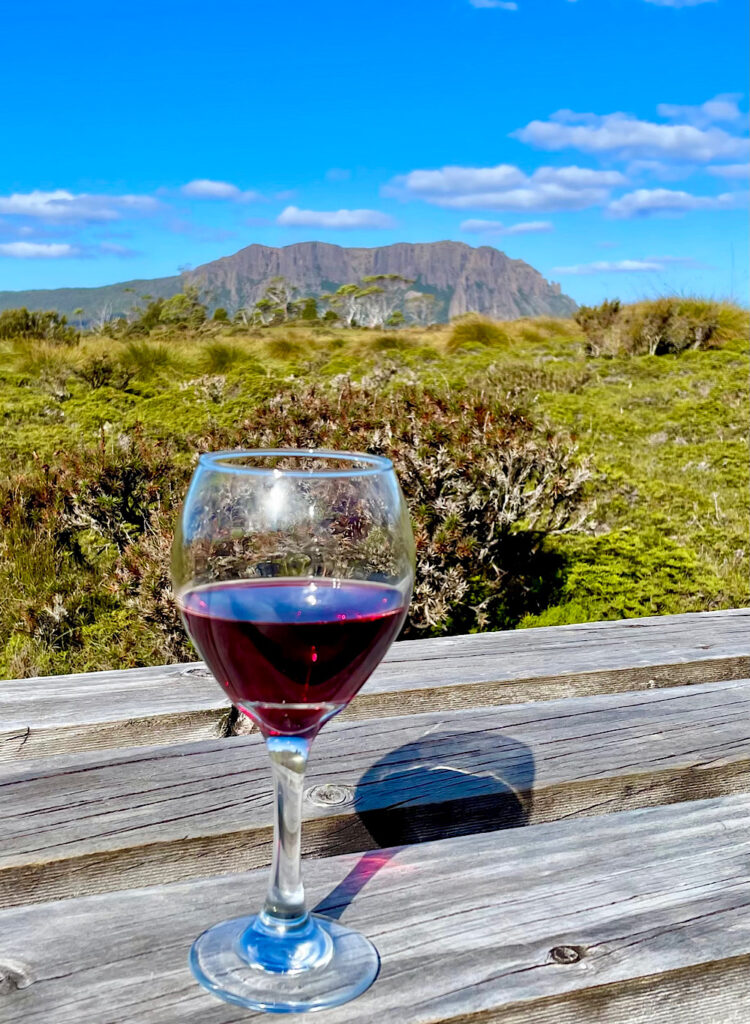
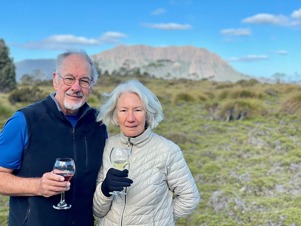
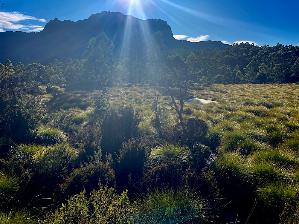
Joseph Will in 1890 mined a seam of coal that runs near to our path to the lake. Apparently there is still evidence of his mines, but I didn’t go looking for it. The lake is quite beautiful with its sandy quartzite beach lined with pencil pines and Barn Bluff as a magnificent backdrop. Today there’s snow to be seen on the Bluff.
10.15am
11am
11.30am
12.15 pm
2.15pm
2.30 pm
3.15pm
3.30pm
4.10pm
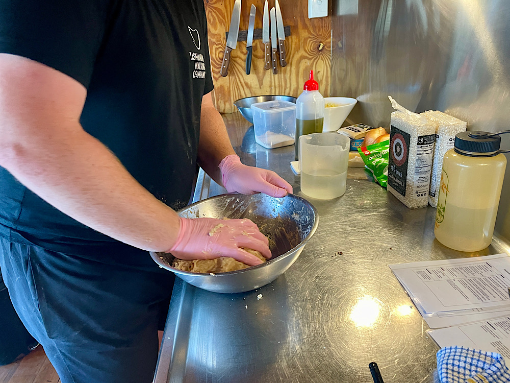
Once more one of our wonderful guides had skipped on ahead to bake scones for our afternoon tea and get dinner underway.
4.30pm
5.30pm

Thursday 15th February
Day 3: Pine Forest Moor Hut to Pelion Hut (5 hours walking)
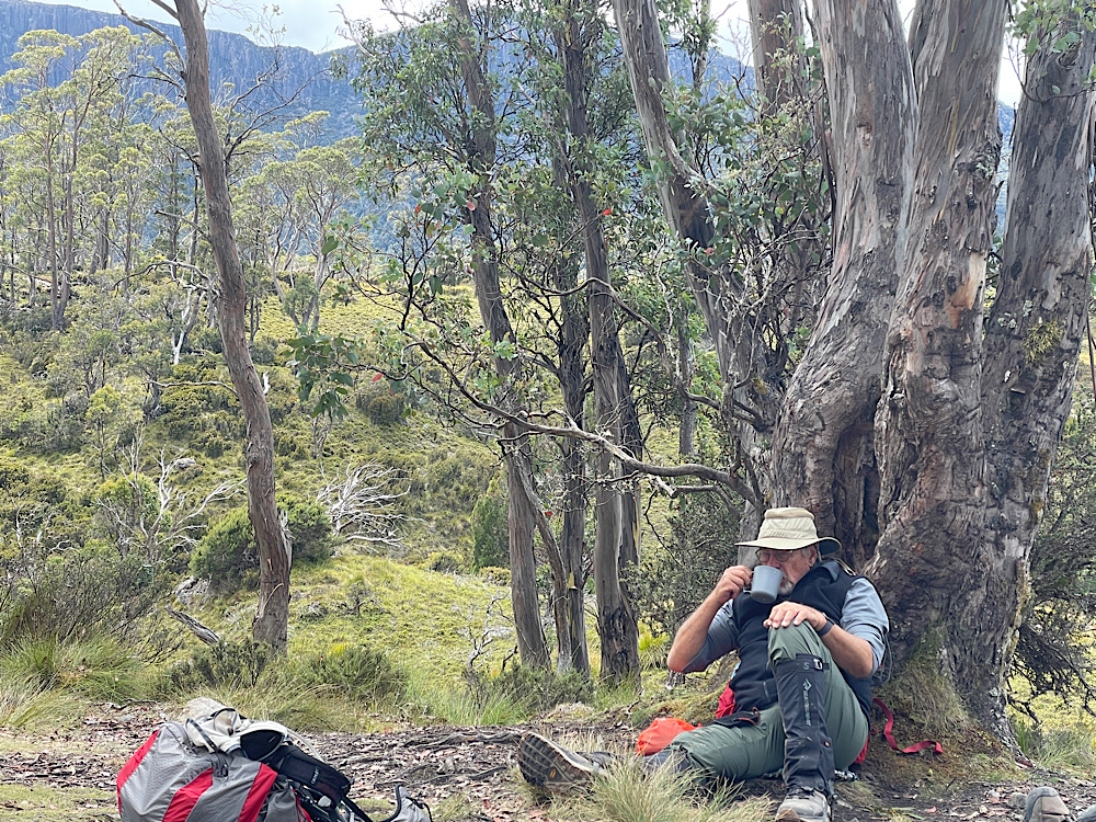
Breakfast every day has been freshly baked bread made the afternoon before and left to rise overnight, hot porridge, cereals, local jams, etc. Large containers at each hut contain all sorts of nuts and dried fruits for us to make up our own scroggin packs for hiking, and the guides fill our lunch boxes while we eat breakfast. We carry our own snacks and lunch.
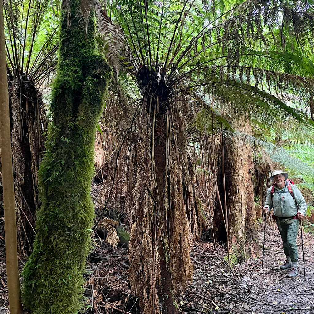
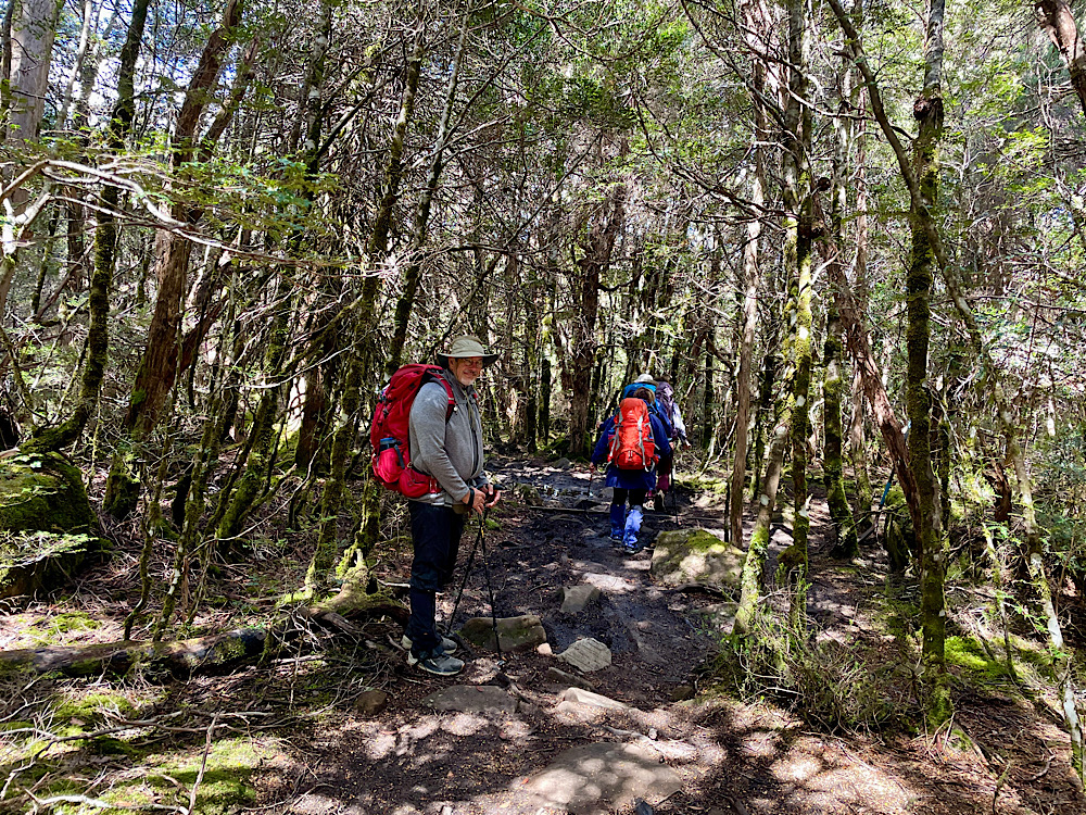
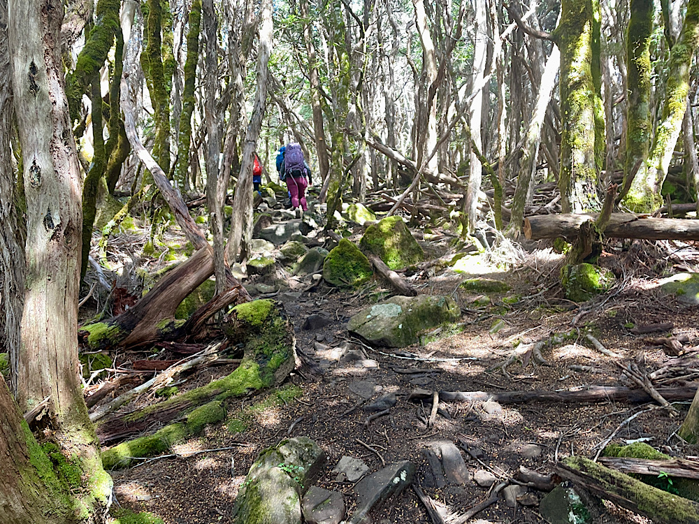
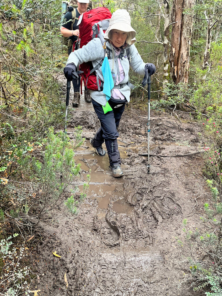
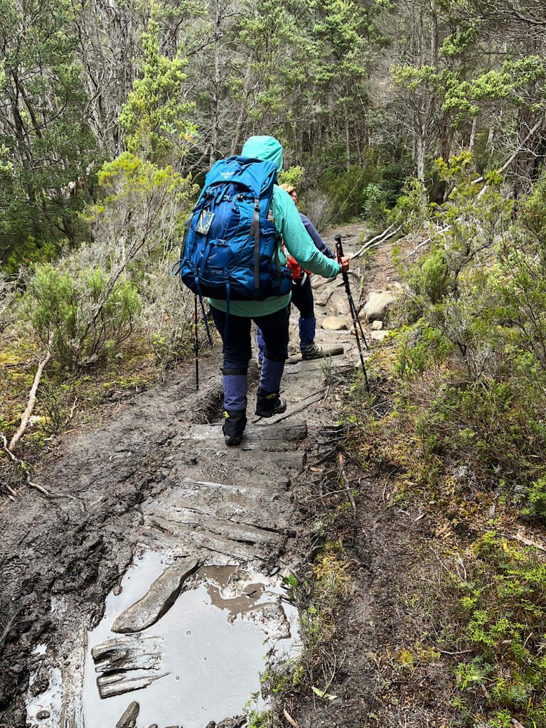
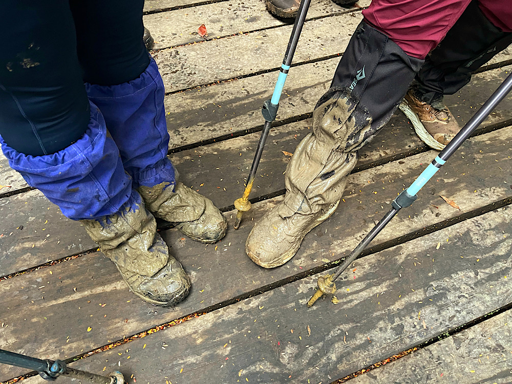
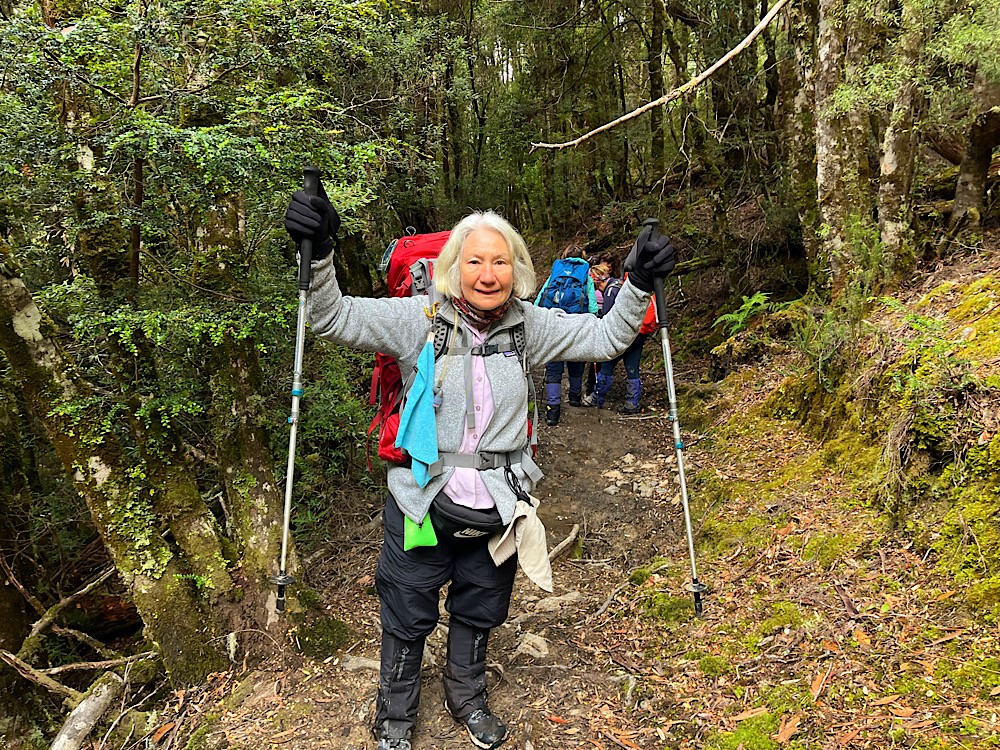
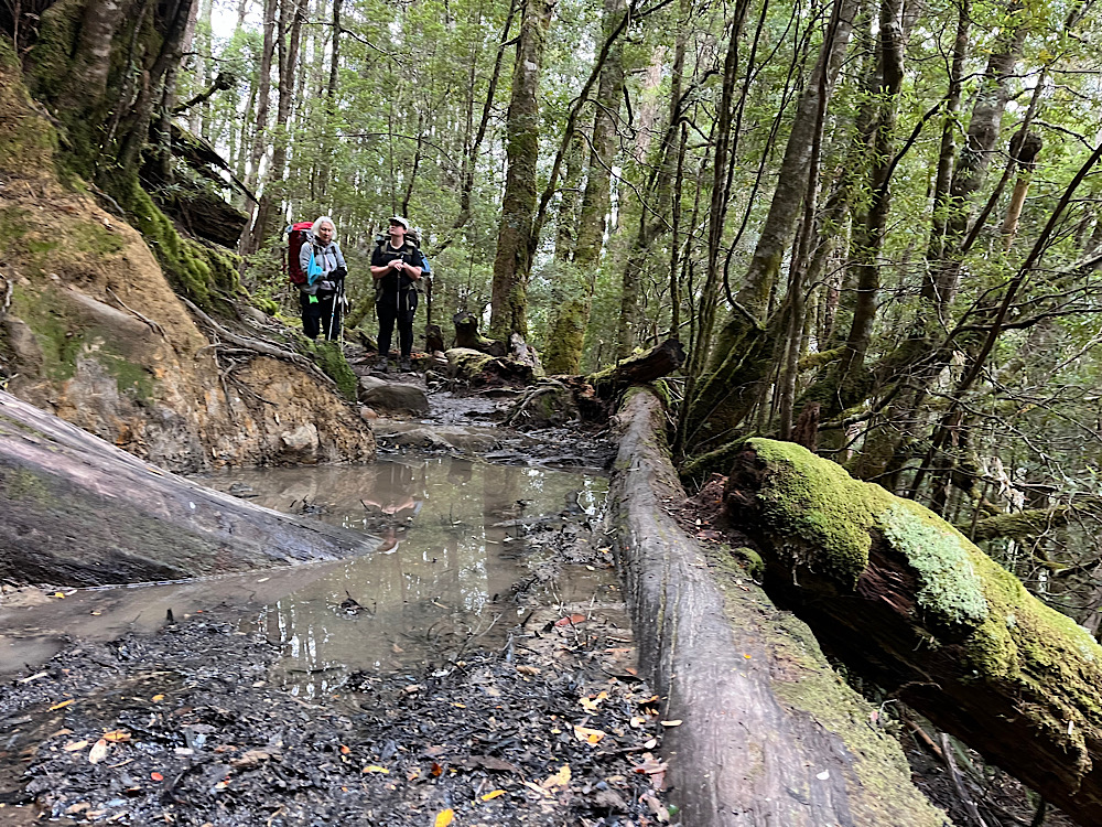
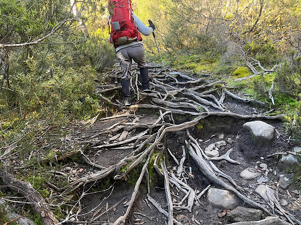
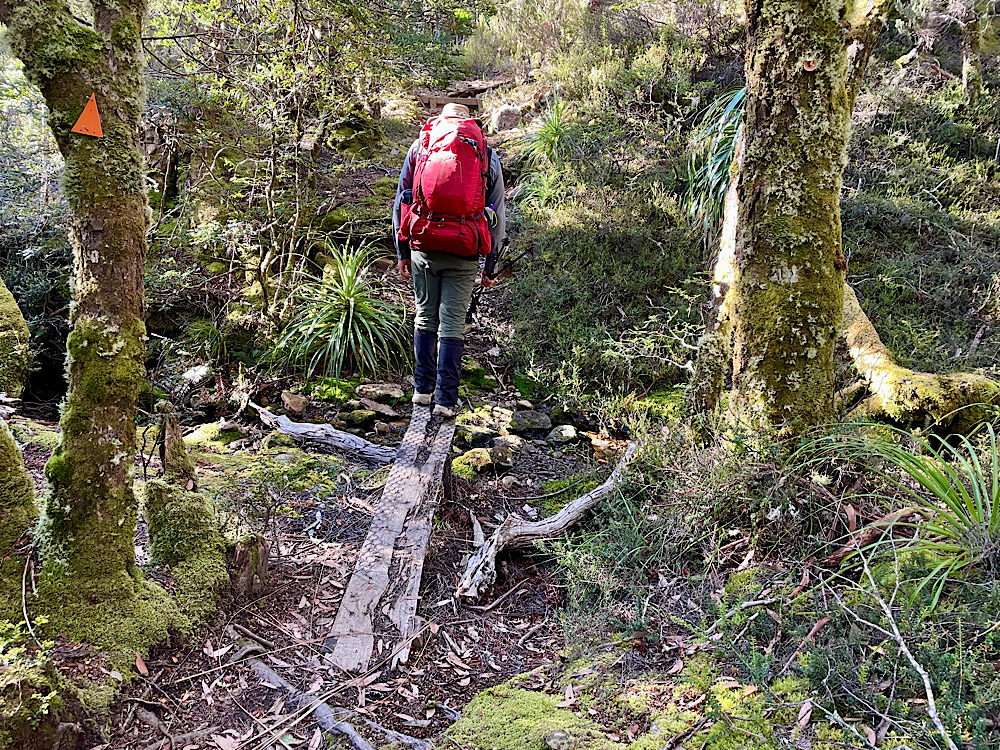
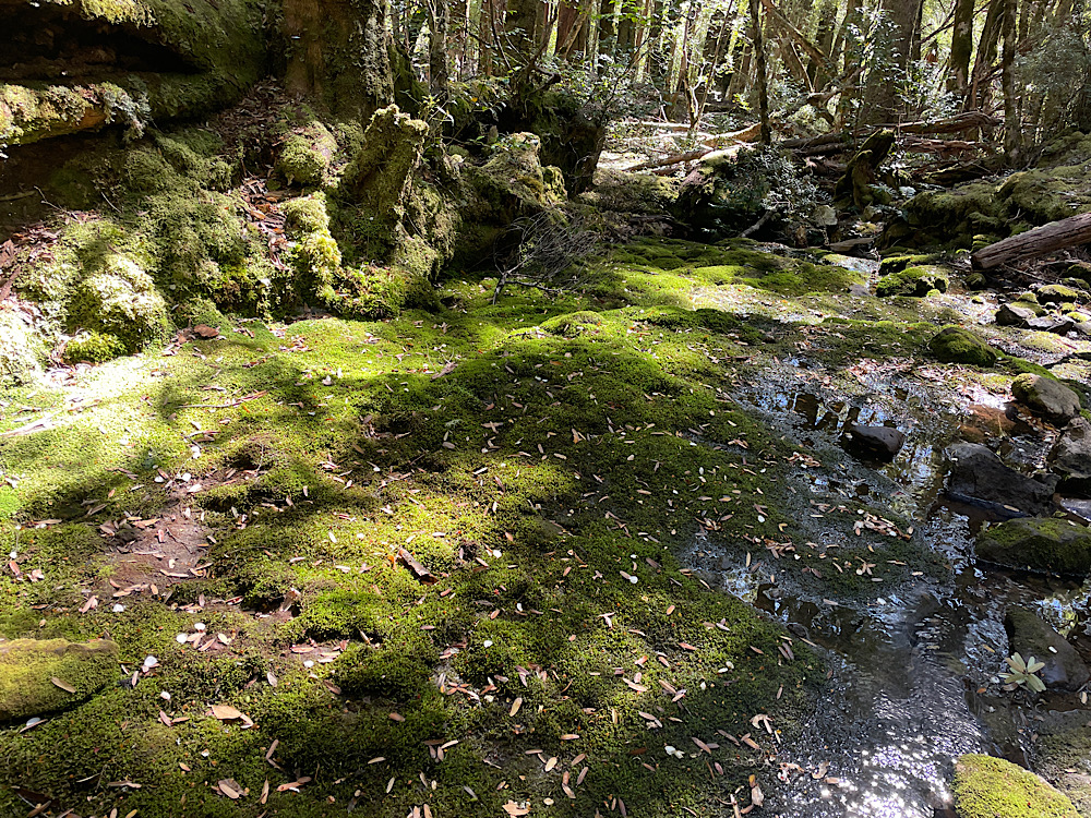
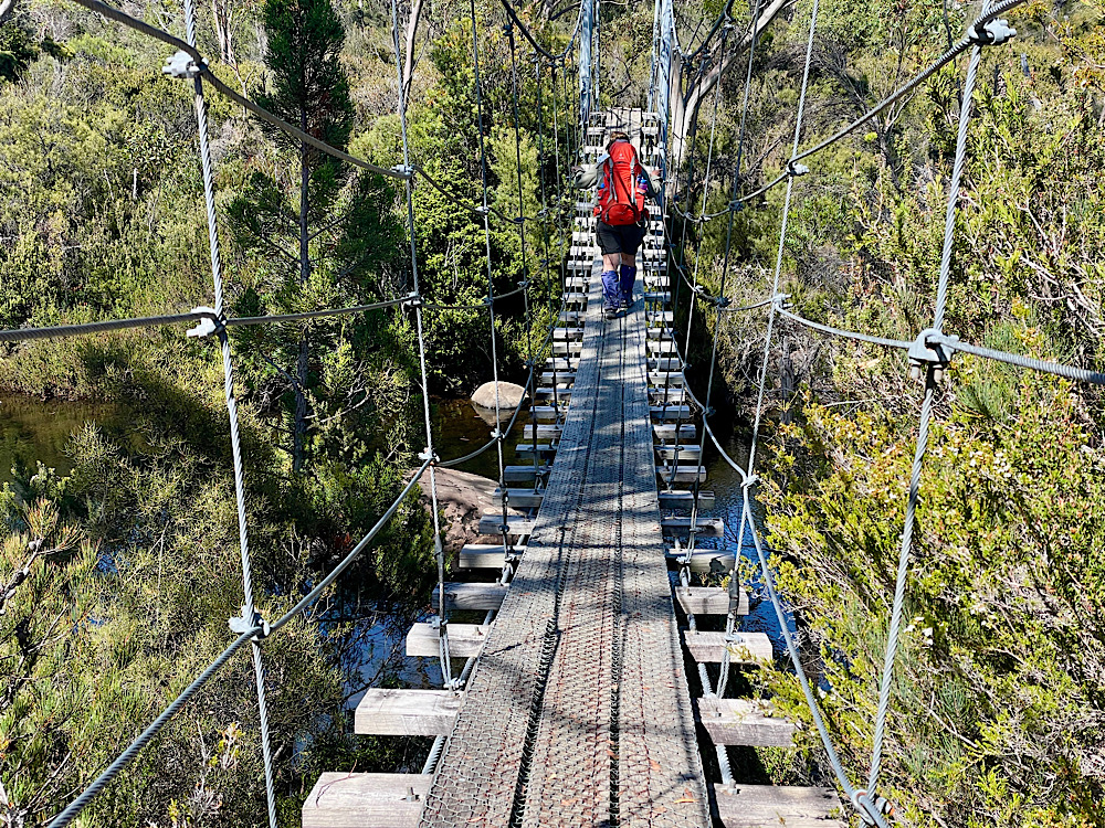
We left the hut about 9am. Today’s track begins by descending through myrtle beech rainforest to skirt around the base of Mt Pelion West. While forest hiking is my favourite the muddy track made this one a challenge.
9.30am
10am
Gaiters + waterproof boots = walk straight through. No chance of me doing anything else with Guide Milo standing beside me.
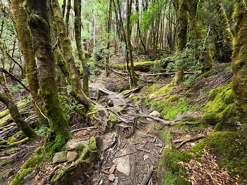
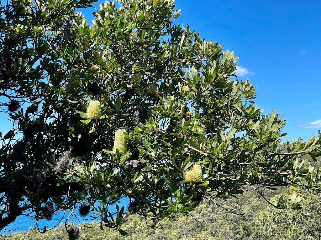
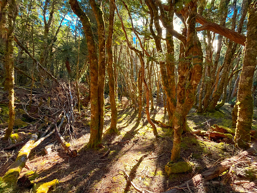
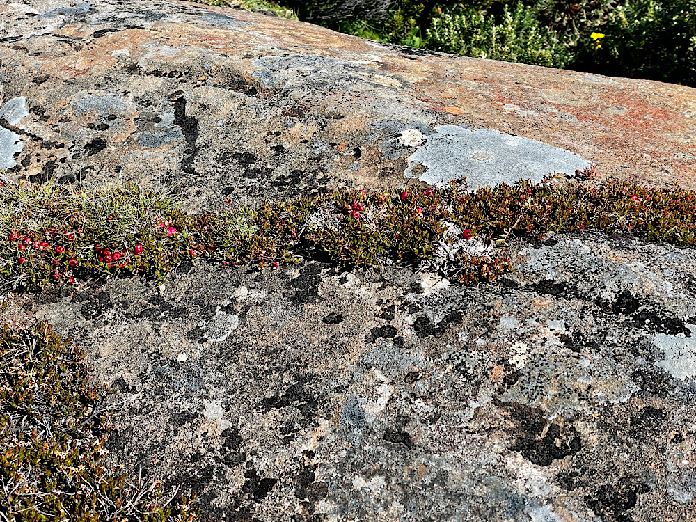
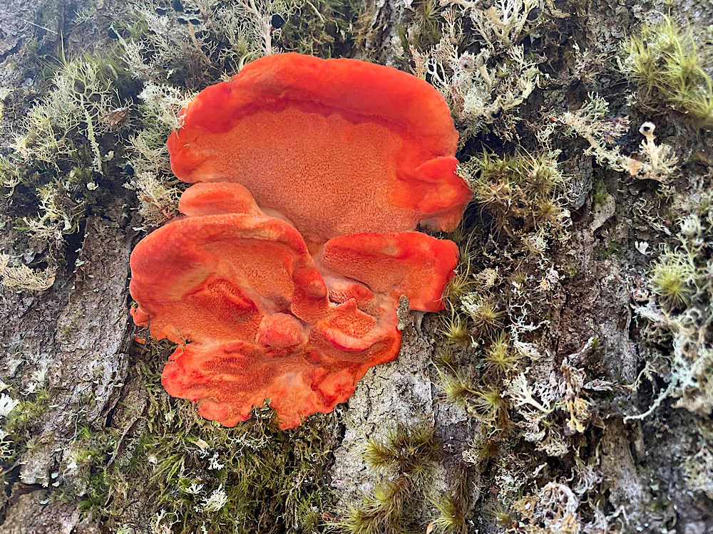
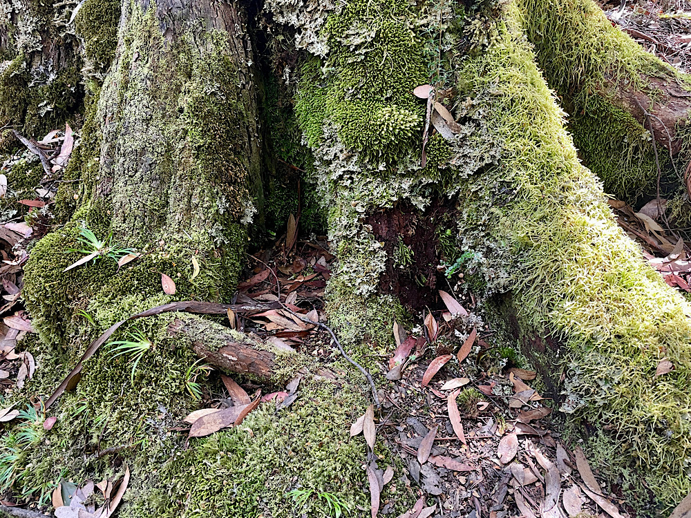
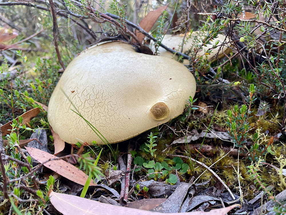
The forest canopy doesn’t allow much light in, so there’s very little understory growth, but lichens and fungi thrive.
11.20am
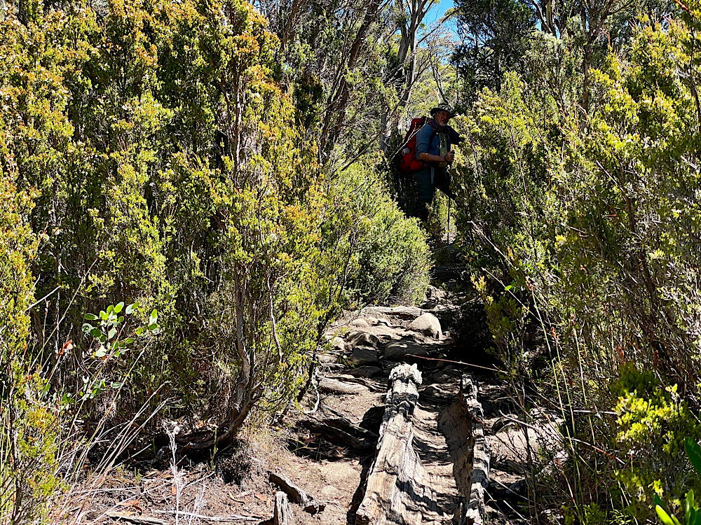
We now begin the climb Overlanders have dubbed ‘Heartbreak Hill’, from 740m to 840m, emerging out of the forest into buttongrass plains – and duck boards.
12.30pm
1pm
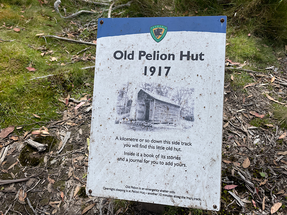
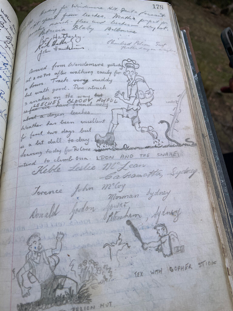
Old Pelion Hut is a place of significance for Guide Sam – his grandmother walked the Track in the 1950’s and stayed here one night, signing the log book.
2.15pm
5pm
6.45pm
Friday 16th February
Day 4: Pelion Hut to Kia Ora Hut (5 hours walking)
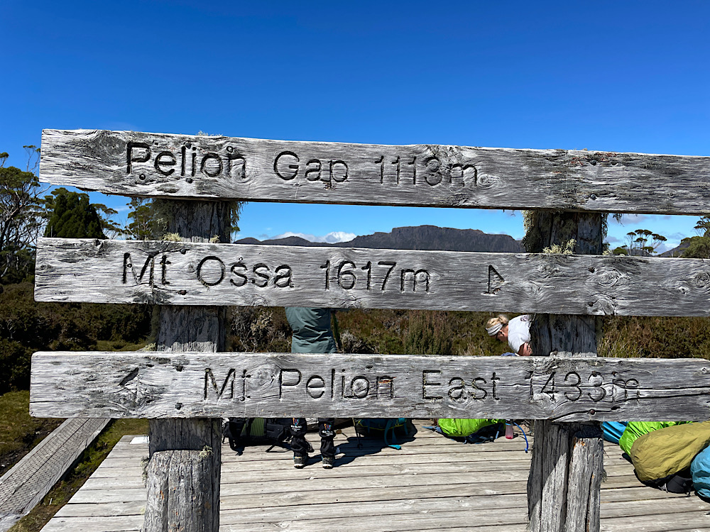
Today there are options of two side trips – one to Mt Doris and the Japanese Gardens and the other to the highest peak in Tasmania, Mt Ossa at 1617m. But first we have about 100 meters of climbing through rainforest over 4km to reach Pelion Gap. Starting a hike with a climb is not my favourite!
7.45am
8.15am
8.30am
9am
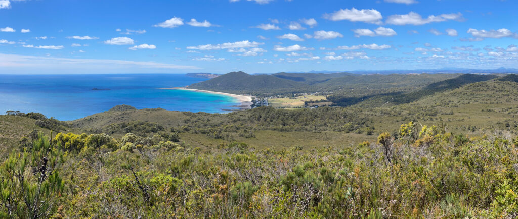
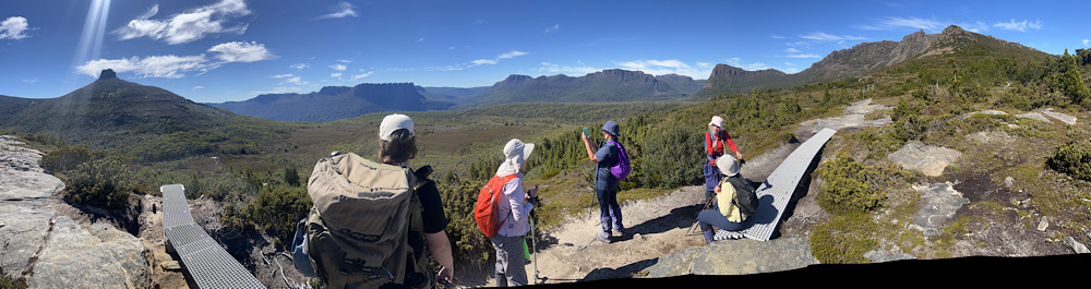
Pelion Gap is where you choose whether to climb Mt Ossa or not. If it’s clouded over there’s not much point. As you can see today is magnificent weather. However Steve and I and several others decided not to climb it – we’ll climb Mt Doris to the Japanese Gardens instead.
10.15am
10.40am
11am
Midday
12.40pm
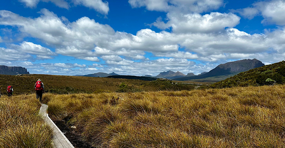
Leaving Pelion Gap it’s a gentle descent across Pinestone Valley with only one small range before we reach Cathedral Hut.
1.15pm
2pm

3.15pm
4.45pm
6.30pm
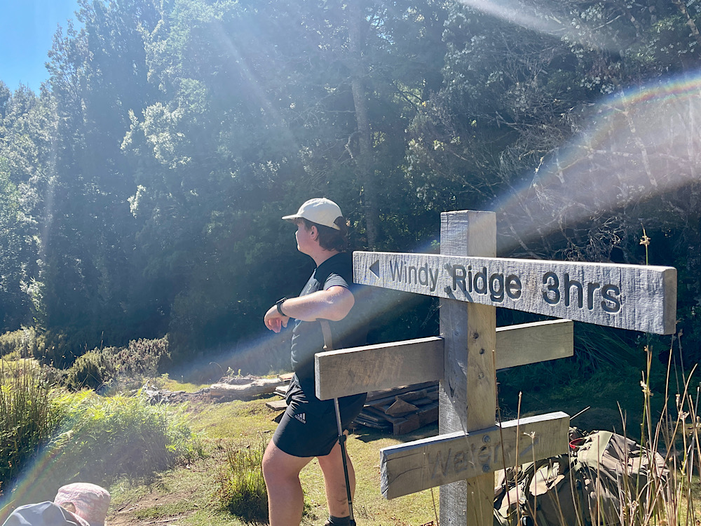
Saturday 17th February
Day 5: Kia Ora Hut to Windy Ridge Hut (4 hours walking)
8.15am
9am
9.30am
10am
Du Cane Hut was built around 1910 by Paddy Hartnett. During winter he snared Bennett’s wallabies and possums for their skins which his wife Lucy and their children dried out in the hut. Today this is another ‘emergency use only’ hut.
10.30am
From here the Guides sent us off one at a time to enjoy the solitude and peace of walking alone through the oldest forest of the National Park, with King Billy pines up to 2000 years old. This was a favourite time for me.
11.30am
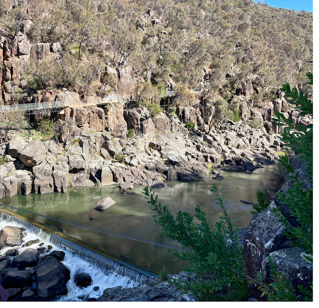
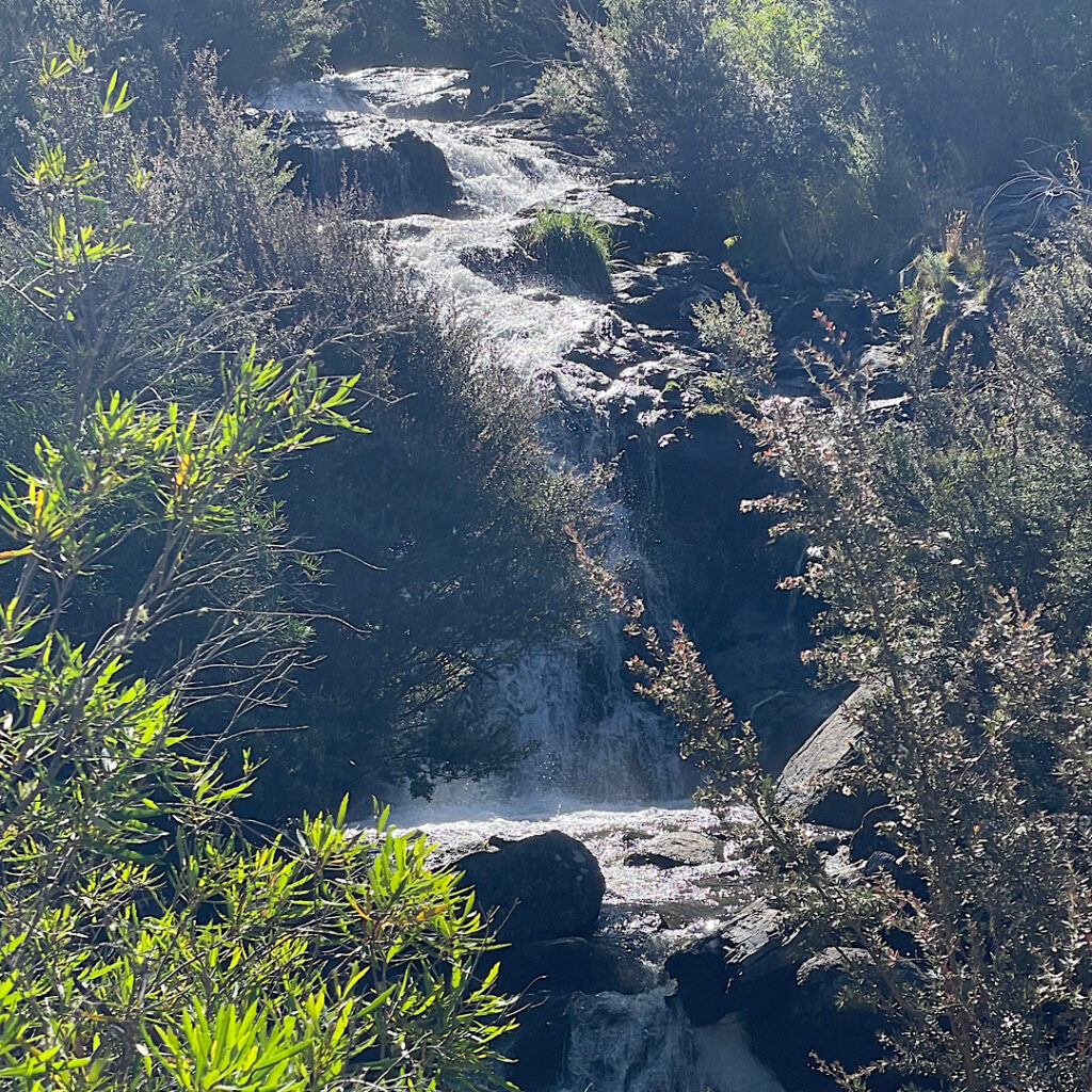
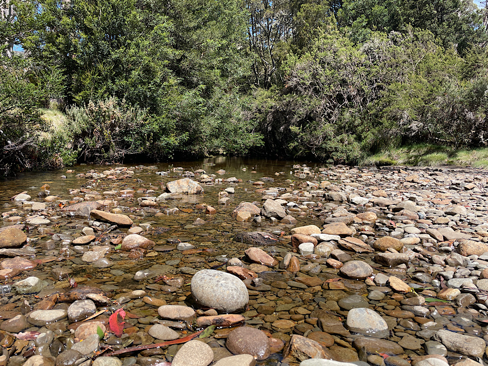
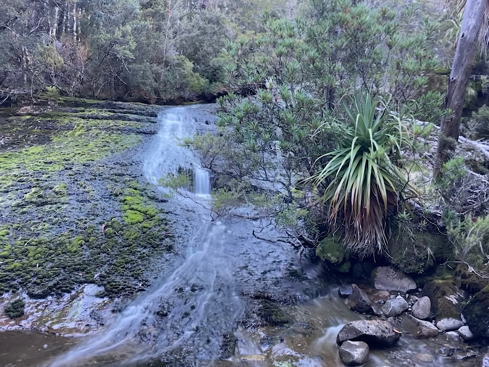
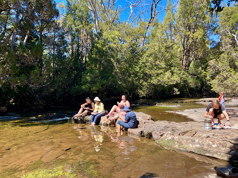
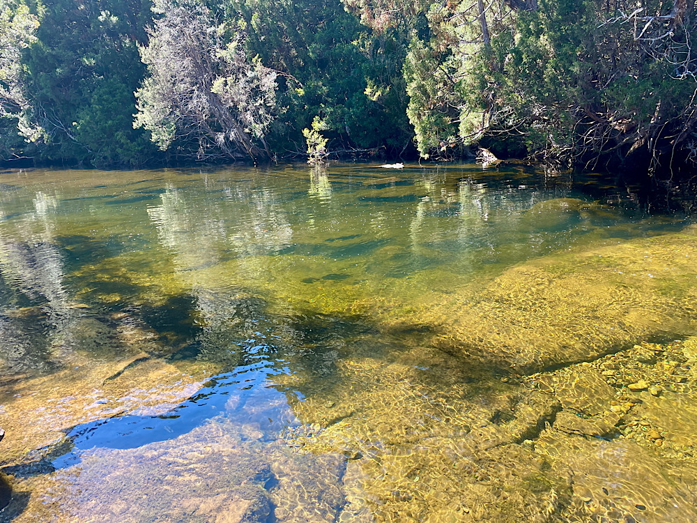
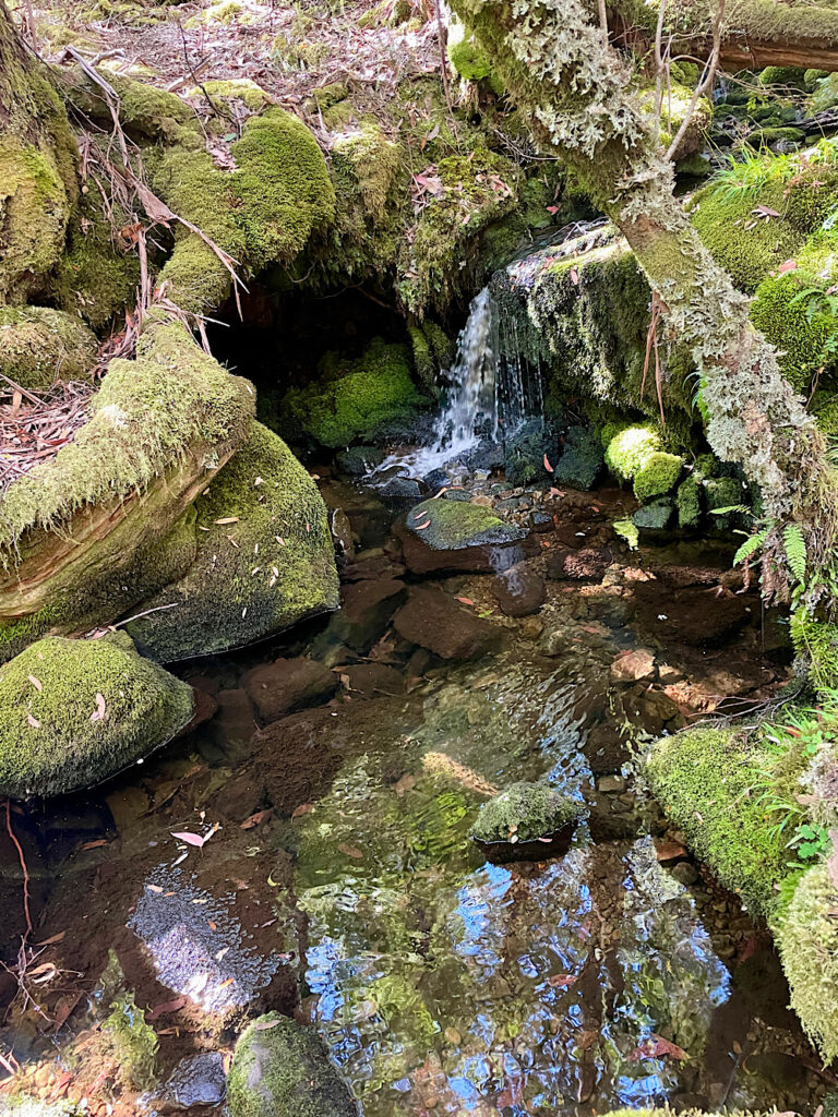
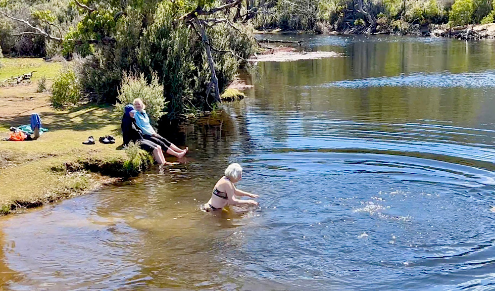
We regrouped here to enjoy some waterfalls on the Mersey River.
12.30pm
2.30pm
3pm
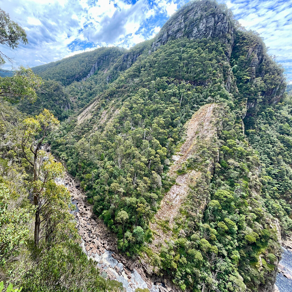
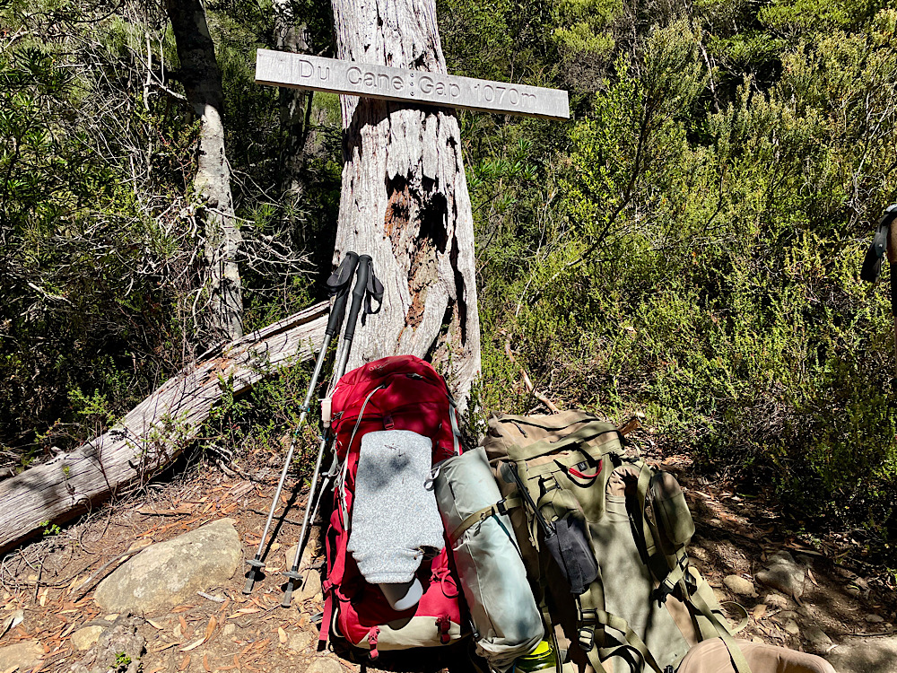
A steep climb, the last one on the Overland, took us to Du Cane Gap sitting atop a layer of dolerite.
3.45pm
Sunday 18th February
Day 6: Windy Ridge Hut to Lake St Clair (3 hours walking)
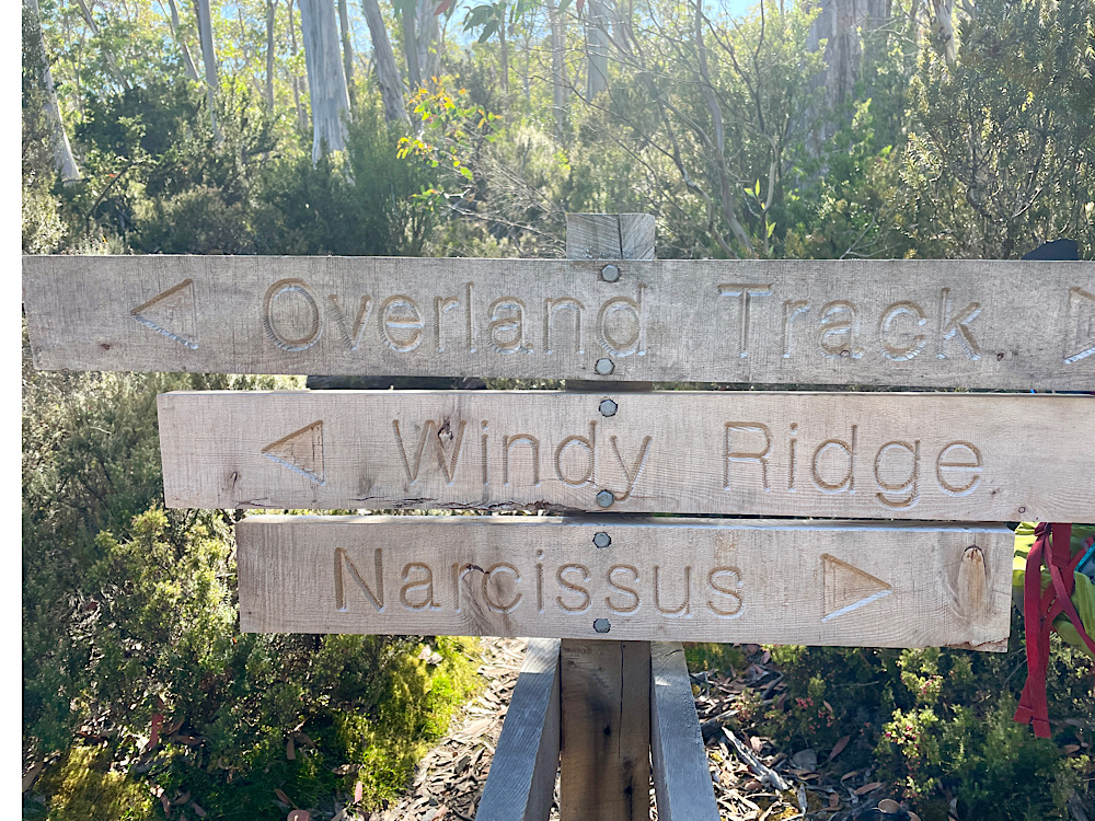
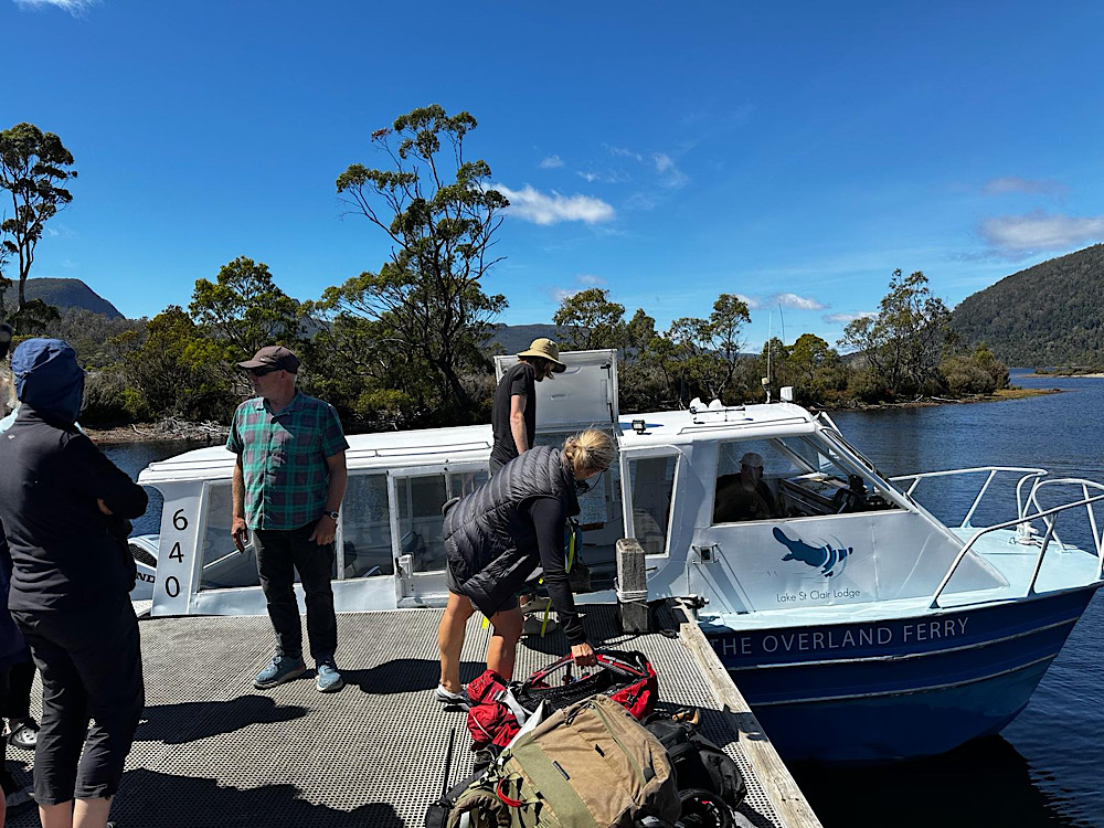
We began our last day of hiking with mixed feelings – it’s been such an amazing trail that has tested our physical capacities (and, during Guide Sam’s trivia competition, our mental capacity!) but fed our souls through many days of pure nature. Today we’ll be heading for Narcissus Hut then a little further on to Lake St Clair, Australia’s deepest natural lake, shaped by glacial action millions of years ago. Here we’ll catch the ferry back to the Lake St Clair Visitor Centre.
7.30am
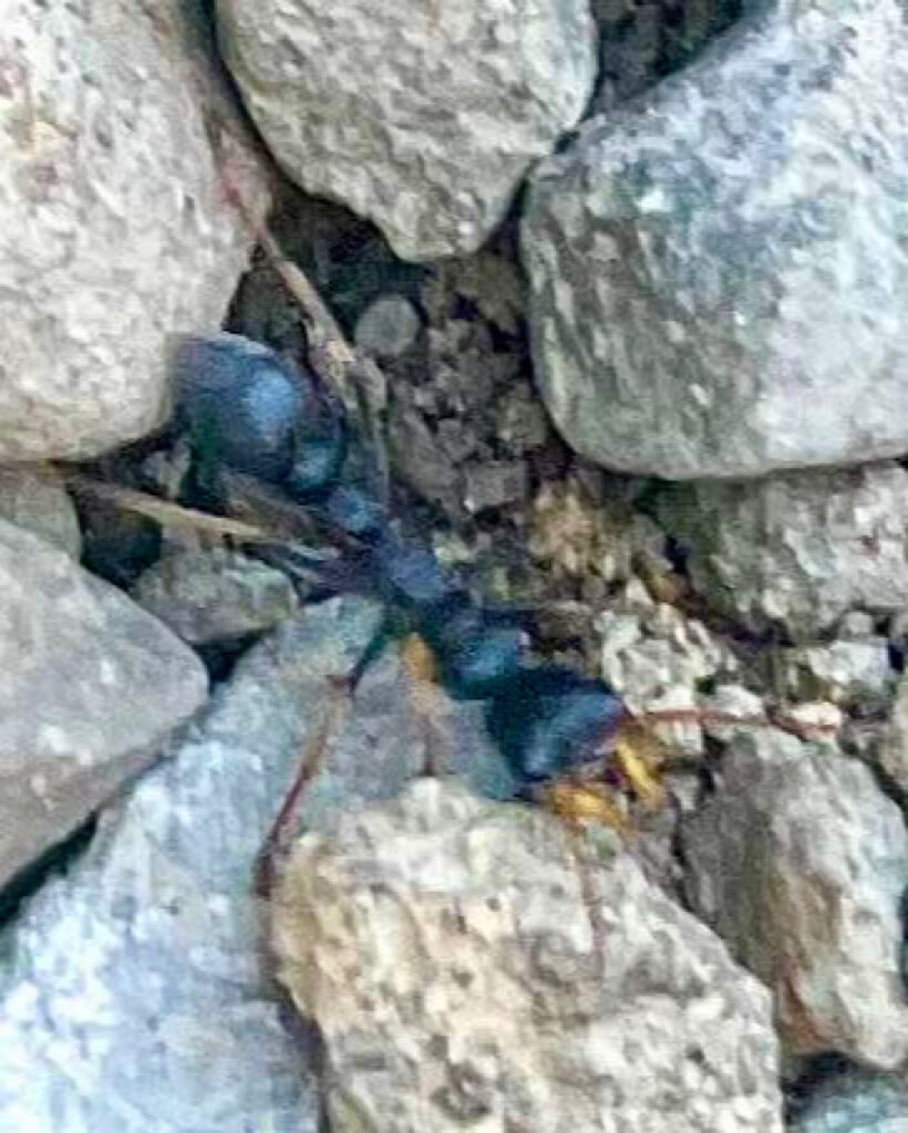
“Jack Jumper Ants do not bite. Rather, they grasp the victim in their jaws, then bend and sting them. Their sting is in the tail. They are aggressive, typically walk with a hopping motion, and can sometimes jump from surrounding vegetation. The stings of Jack Jumper Ants can be very painful and local swellings are common. Large local swellings can also occur, which may last a few days at a time.” (taken from allergy.com). Our guides did warn us about these little critters and both carry epipens, an anaphylactic reaction being a possibility. Fortunately, despite seeing many of them on the track no one was stung.
10.20am
Not wanting it to end the temptation was to turn around and hike back again – but that feeling only lasted a second or two!!
11.15am
11.20am
12.15pm
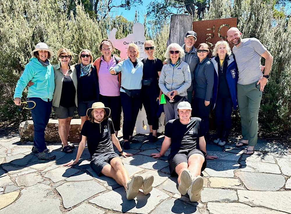
With thanks to Tasmanian Walking Company for this opportunity, the other 9 hikers whose friendship and positivity made the hike so enjoyable and special mention to Guides Sam and Milo whose knowledge, patience, care, support and great cooking made this the best hike ever.
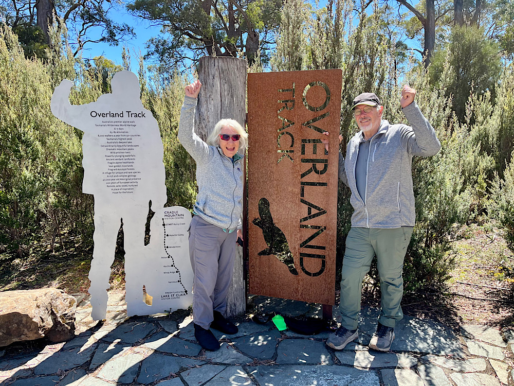
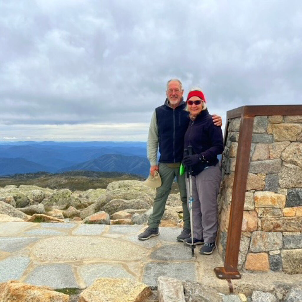
And so ended one of the most wonderful adventures we’ve have. Our goals for this hike, other than to finish it with no injuries, were to be challenged (Steve) and to be awestruck (Denise). Without doubt both goals were achieved time and time again.
(With thanks to my walking friends who so generously shared their photos.)