1st – 11th June 2017
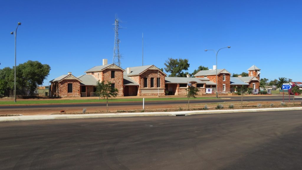
A day of decisions today – where to next? First though we moved on to Leonora – a pleasant-looking town. We’re camped beside Malcolm Dam – lovely to see all that water!
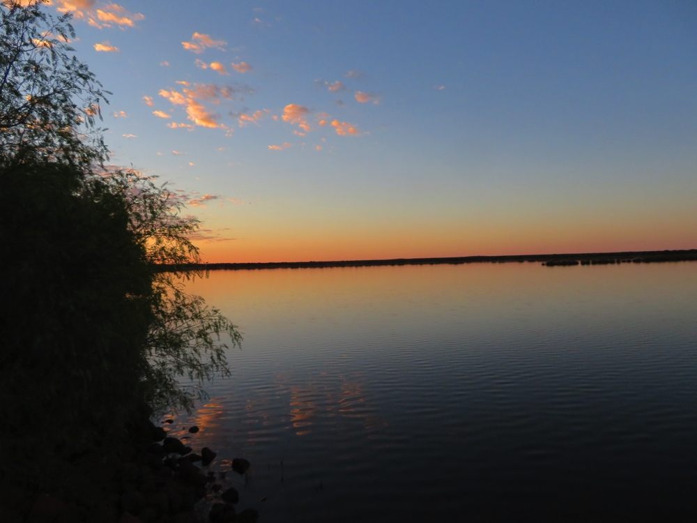
Sunset over Malcolm Dam outside Leonora.
Leonora is a pleasant town – main street with all the shops you need within a block. The butcher was interesting – no meat on display and a sign complaining the health department was trying to close him down beside a petition signed by customers attesting to his shop being ok. With great hesitation we bought 2 steaks – we didn’t get sick and they were delicious.
Most of the stores had security mesh across them – all the glass being covered. It seems a happy enough town at the moment, maybe this is leftover from times gone by.
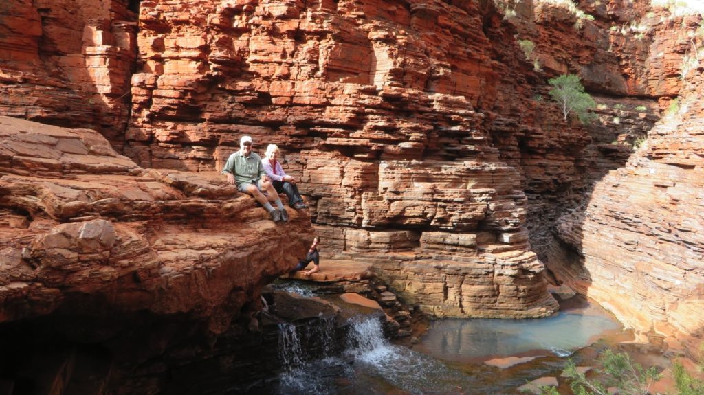
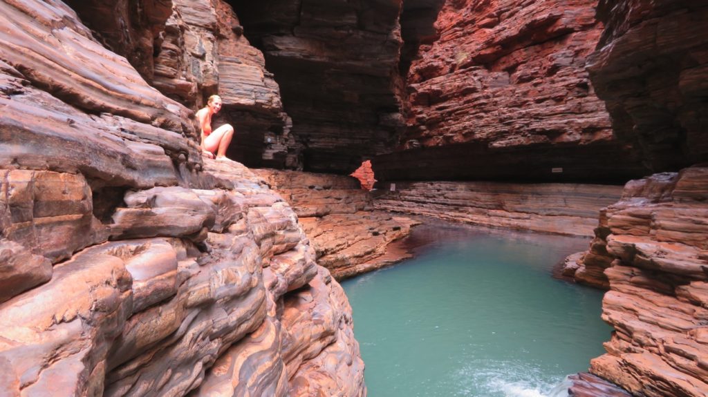
Gwalia is a ghost town just 5 kilometres up the road. A significant gold discovery in 1896 saw the construction of an underground mining operation managed by the 24-year old Herbert Hoover – yes the man who later went on to be president of the USA. He designed and had built Hoover House and several other buildings required for the mine. We went through the house, now a B&B, and the mine museum. It was very good.
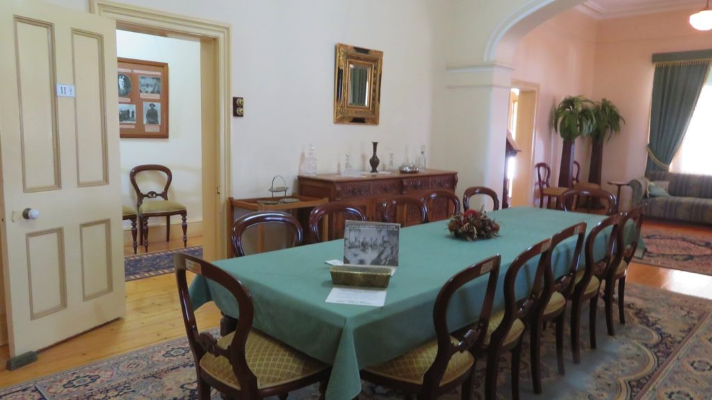
The dining room in Hoover House. The thing that looks like a cake tin at this end of the table is a replica of a gold bar. At an investors dinner in the early 1900s Hoover had real ones on the table to demonstrate the prosperity of this mine. Gwalia
The house sits atop a hill within walking distance to where the underground mine shaft was. It has lovely gardens and a big wide verandah along two sides which would have been very pleasant in days gone by. The Gwalia mine was very profitable, only closing down in 1964. It reopened as an open cut mine which is what we see today – a huge hole in the ground.
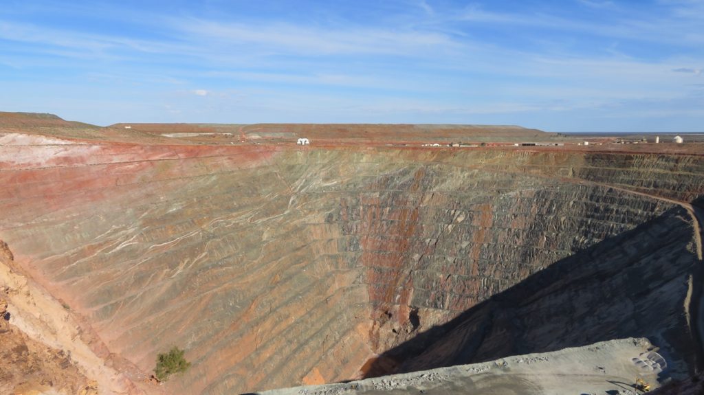
The open cut gold mine at Gwalia. As you can see the pit covers a small area, but it’s the deepest in Australia.
That too closed, but another underground shaft has been sunk in the hole to 1500 metres deep, the deepest gold mine in Australia. Apparently there’s another seam of gold at 2000 metres but they’re not mining that as their technology isn’t able to handle the temperatures at that depth.
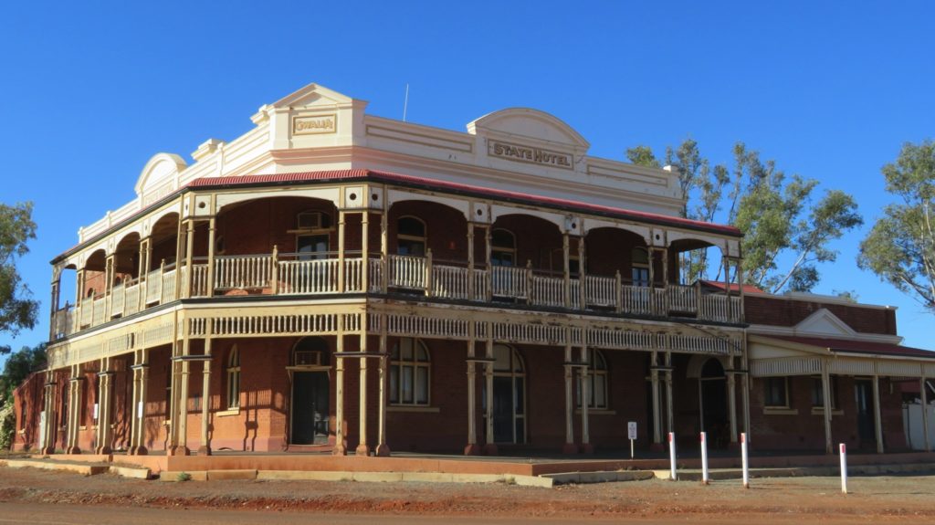
This is the magnificent Gwalia Hotel, opened in 1903 and closed in 1964 when the Gwalia Gold Mine first closed.
Free camping tonight in the museum car park. Fellow campers are hobby gold prospectors, spending weeks at a time out in the surrounding countryside with metal detectors – nah, not for me!
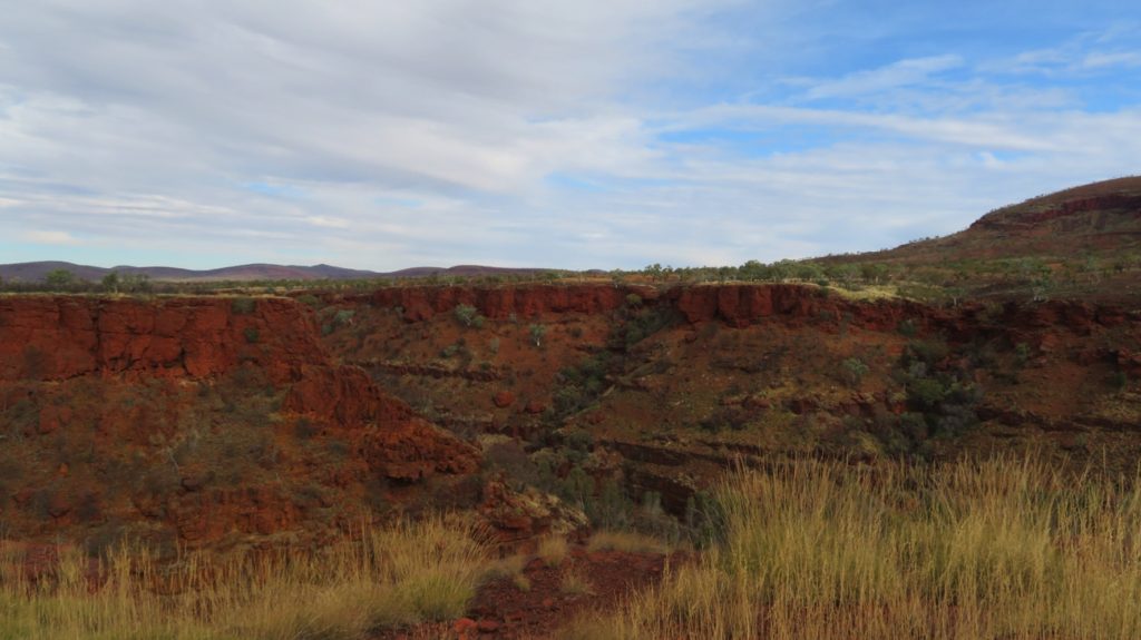
Saturday we headed west staying the night at Peter Denny Lookout, which looked remarkably like Giles Breakaway – these ‘breakaways’ seem to be common out here. Sunday we moved on to Mt Magnet which is where we’ll be farewelling our travel buddies of the last month. Ken and Wendy are heading to the coast and we’ve decided we’ll keep going north. We’ve had a great month travelling with them, enjoying many experiences together, not to mention many evening fires. Thanks for being great company Ken and Wendy.
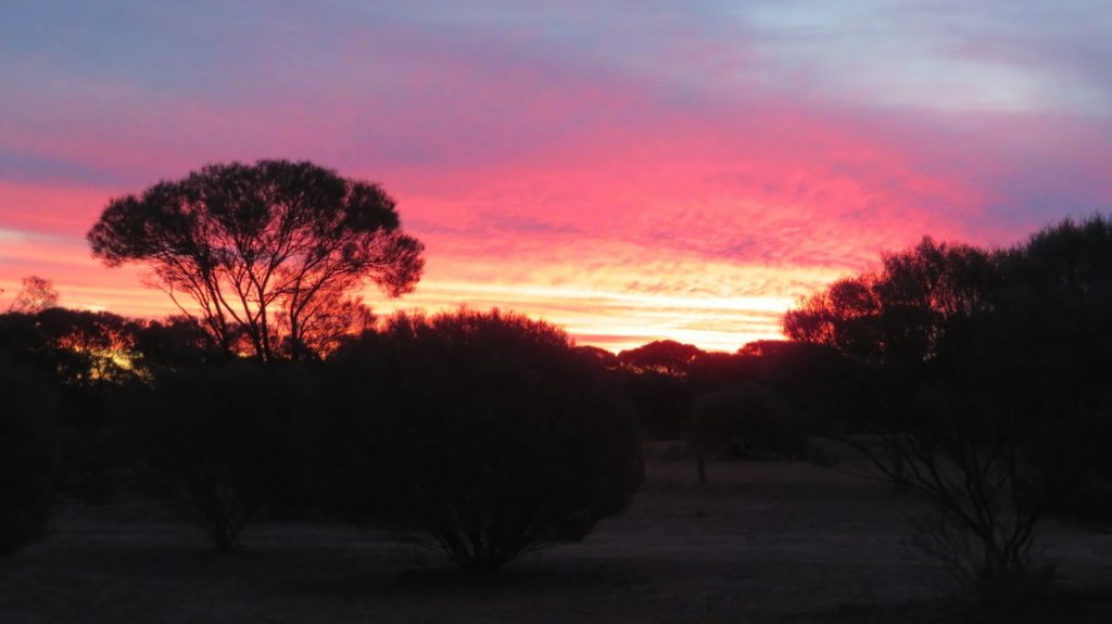
Beautiful sunset from our campsite at Mt Magnet.
The traffic on the Mt Magnet road and Great Northern H’way is principally road trains. These behemoths of the road travel at 100km/hr and at 53.5 metres long (we’re 7) you’d have to be crazy to overtake one. The turbulence when passing in opposite directions rocks the motorhome.
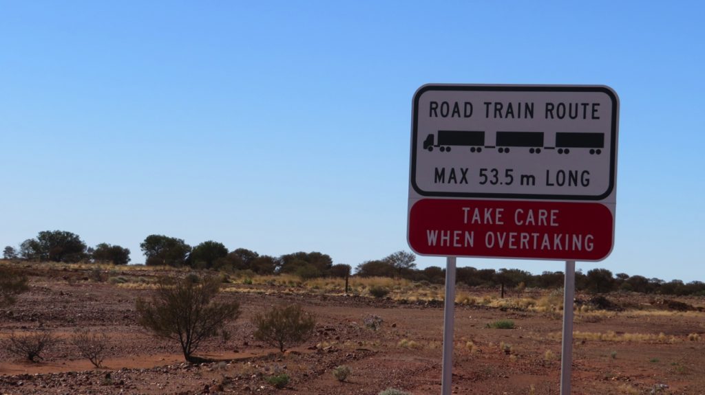
No need for the warning – I won’t be overtaking one of these giants.
Anyway, annoyingly we copped a stone on the windscreen from one which left a star crack. Out came the windscreen repair kit and despite our inexperience it’s now nearly impossible to see the crack – thanks Ric for recommending this magic little kit. Tonight’s free camp was just north of Mt Magnet – Steve reckoned the road trains passed every 3 minutes all night. Luckily we were well off the road and they didn’t disturb us.
Today is a public holiday in Western Australia. We brunched at the lovely little town of Cue – beautiful old buildings and a fabulous picnic area to rest in.
Some of the beautiful buildings in Cue. This used to be the magistrates court, prison and police station. It’s still the police station.
A catch-up on admin and internet time in Meekatharra took up most of the afternoon. Tonight we’re camped at Peace Gorge, another breakaway, and very peaceful! Peace Gorge was so named as this is the place the towns folk came together to picnic and celebrate the ending of World War 1 – over 150 young men from Meekatharra enlisted, many were badly wounded or killed.
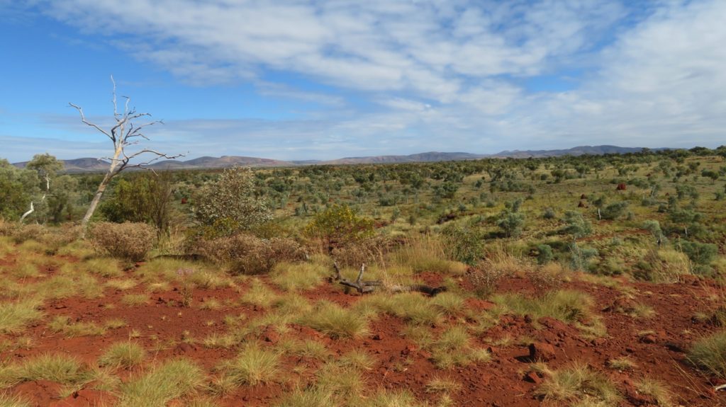
Tuesday we did a little shopping at the excellent Foodland then continued our journey north, stopping for the night at a campsite alongside the Gascoyne River. The scenery since leaving Leonora has all been a bit same-same – mostly mulga scattered over the gravelly, bare red earth. There is a lot of road kill now – mostly kangaroos. The carcasses don’t last long though as crows and huge black eagles make short work of them.
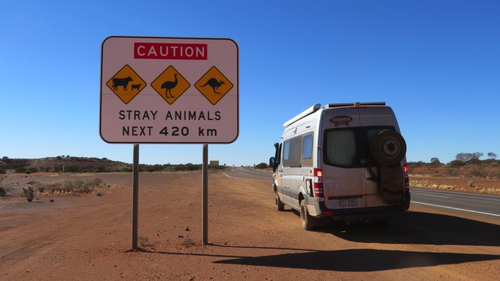
By the amount of roadkill on the roads I’d guess the roadtrains don’t heed this caution.
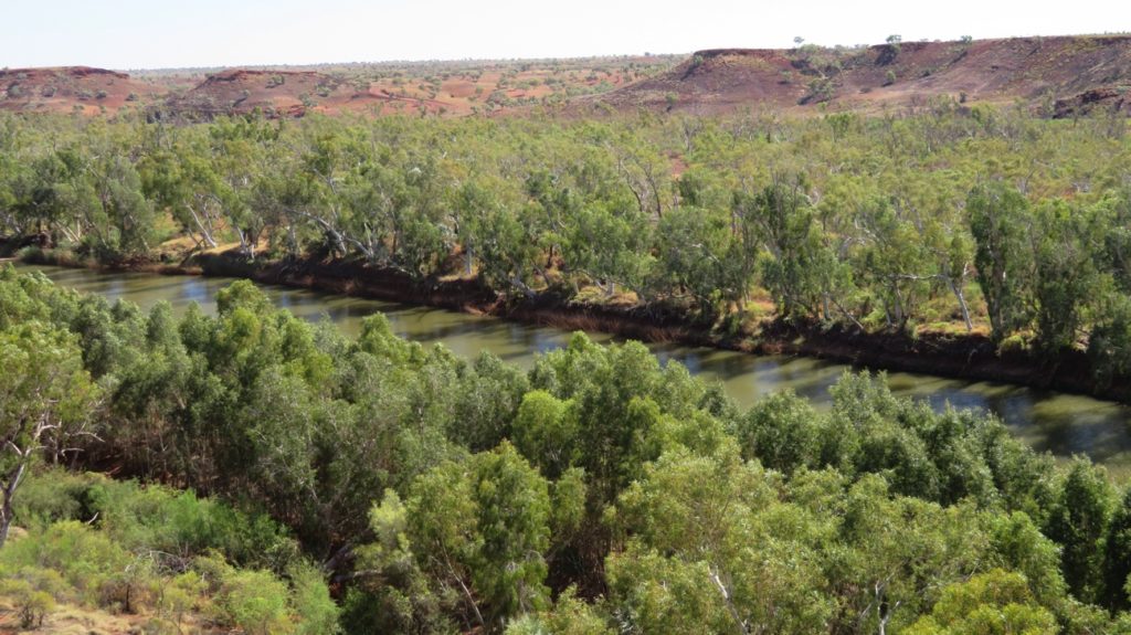
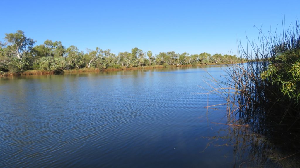
We loved this spot by the Gascoyne River so much we stayed two nights. After all the other campers left and the road trains stopped (they seem to be most frequent in the morning then all night) we settled in for an idyllic day beside the flowering gums and red mulga lined river to birdwatch.
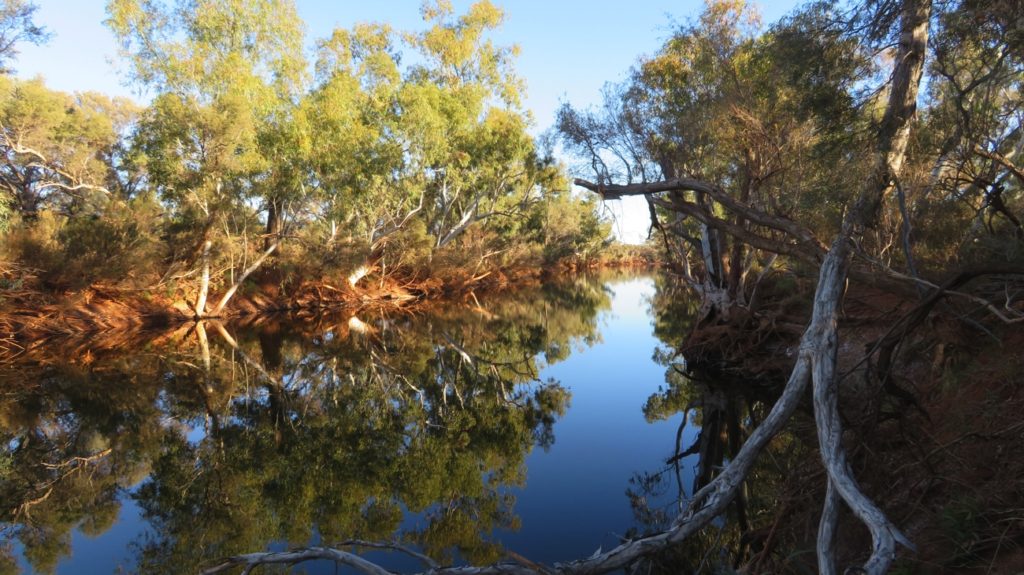
The beautiful Gascoyne River, just near our campsite.
We saw lots of birds we’d never seen before such as masked wood swallows, yellow plumed honeyeaters, lots of budgerigars, a magnificent white-necked heron that posed directly across the river for about half an hour, red-backed kingfishers, a whistling kite and a nesting Australian hobby, as well as all the usual cockatoos, galahs, etc. This campsite has redeemed the area for us.
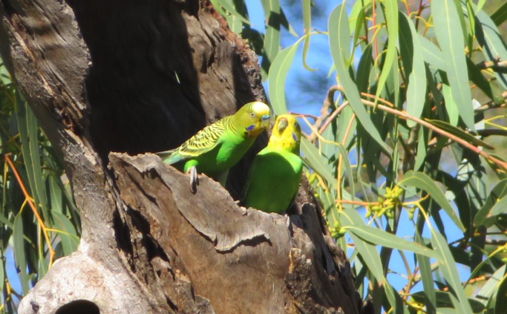
Nesting budgies. Gascoyne River
We crossed the Tropic of Capricorn on our way to the mining town of Newman. We may be in the tropics now but this climate is still semi-arid. Newman came into being in 1966 for the sole purpose of supporting the mining of iron ore by BHP at Mt Whaleback. We booked in to do a mine tour.
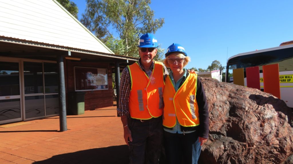
Mine tour preparation.
Mt Whaleback has a very high grade iron ore. After an area has been blasted the ore is moved using one of their 3 shovels or 3 excavators and loaded onto the ore trucks. There are 40 – 50 ore trucks each with a load capacity of 240 tonnes. The ore goes through several processes onsite before being loaded onto trains to be taken to Port Hedland for export. The ore trains are comprised of 4 locomotives and 260 ore cars – this 2.6km long train is under the command of one driver. There are 25 of these laden trains heading to the Port every day, while another 25 empty ones are returning.
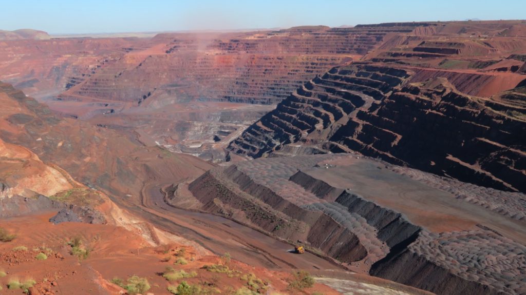
The Mt Whaleback open cut iron ore mine. Newman
Interestingly all the functions of the mine are controlled from Perth. The mine control room uses a GPS system that tracks all the machinery to within 10cm and is able to tell the weight of ore carried by each truck and all other data about it. Even the ore analysis laboratory is run by robots.
After our tour we visited the Matuwirri Art Centre. Lots of beautiful art on display. Some of the artists were among the last aboriginals to come in from the desert. The building is fabulous, even having a large undercover area at the back that can be enclosed or entirely opened up where the artists come to paint when they’re in town.
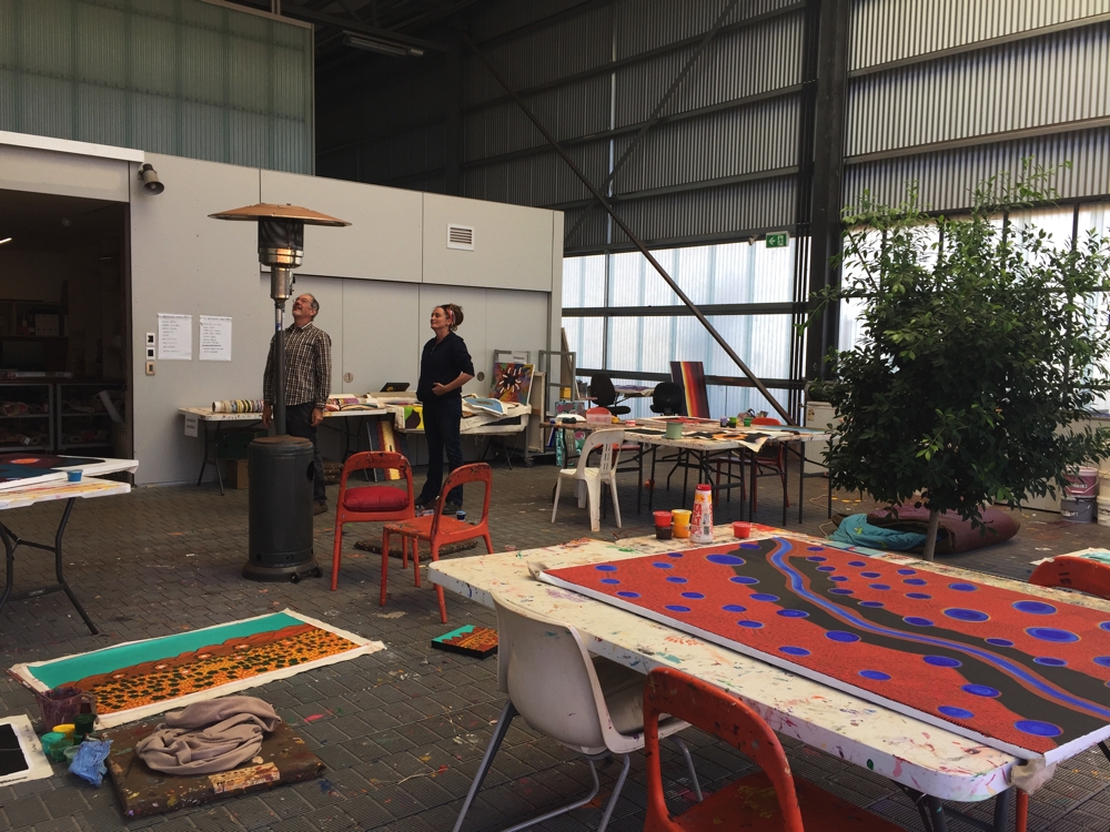
This is the artists section of the art gallery, where the indigenous artists come to paint when they’re in town. It’s a fabulous space for them that they helped to design along with the architect.
The golf club provided lunch for us for two days and we enjoyed visiting this town. Camping is $10/n at the Information Centre.
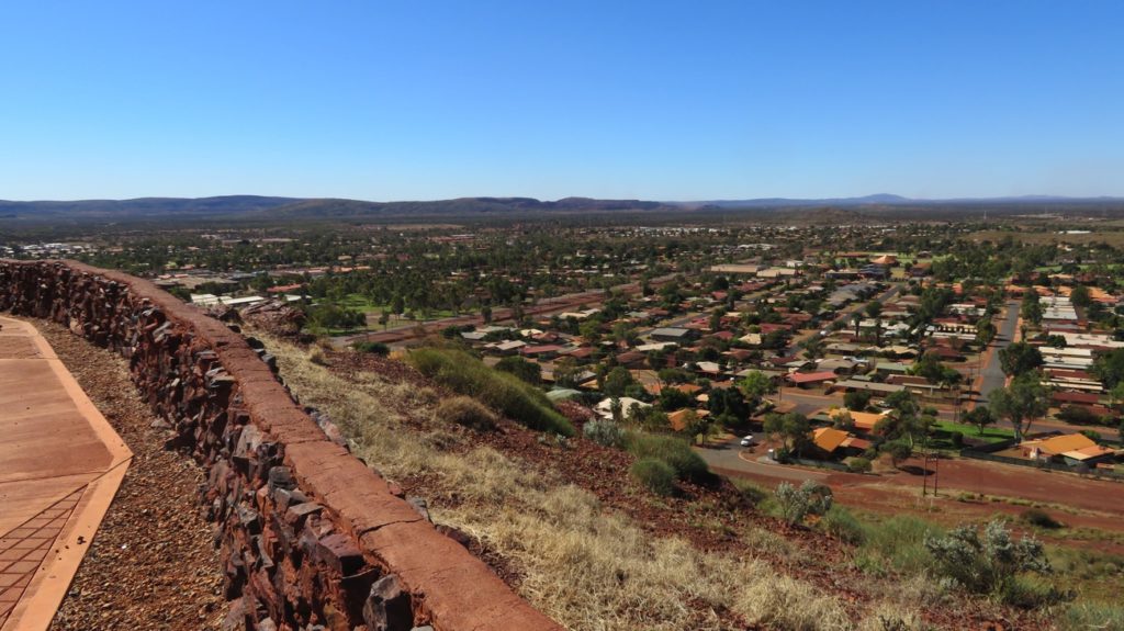
The view over the town of Newman from the radio tower lookout.
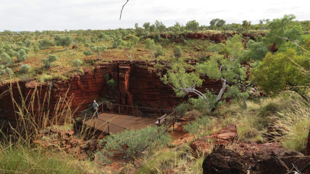
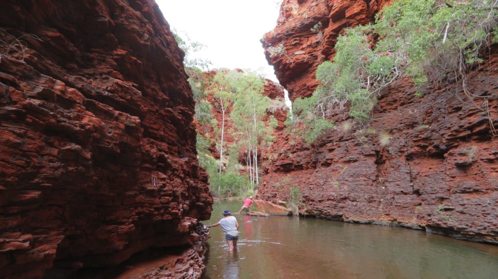
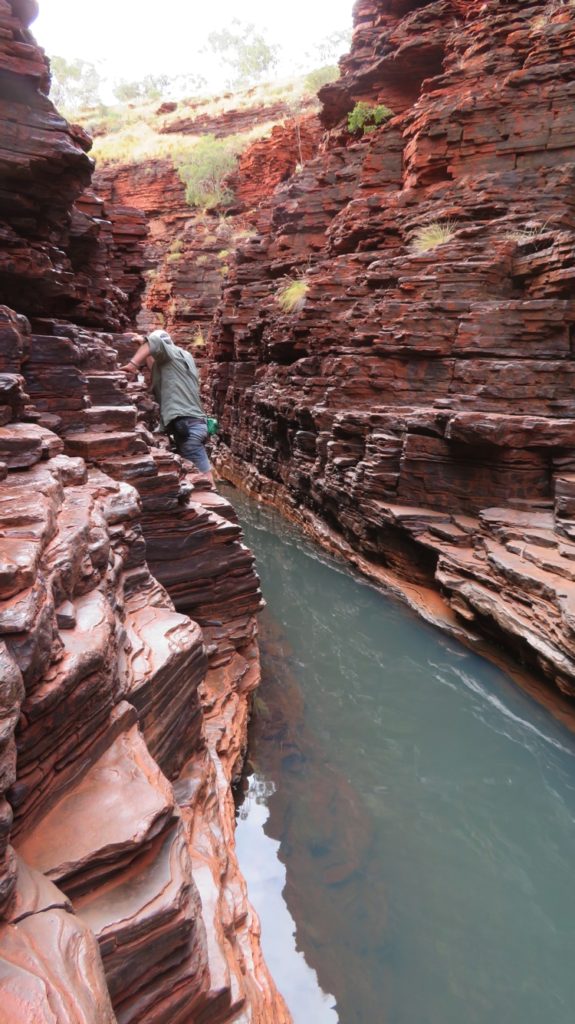
For more photos of our time in the mid north of WA CLICK HERE.