Mt Buffalo and Mt Feathertop

Tuesday 21st to Saturday 25th February

Tuesday 21st

Today we will go to Mt Buffalo, but not too early, allowing the icy roads to warm up a bit. Grocery shopping, brunch at the Ginger Bakery and a visit to the Bright Berry Farm ensured the sun got a chance to do its thing on the mountain.

Mt Buffalo is a pretty amazing granite plateau that’s been weathered to reveal huge boulders balancing precariously near cliff edges while in the centre it’s flat-ish, and has lakes and rivers. The Minjambuta aboriginal people would come up here during summer for ceremonies and to eat the Bogong moths, an apparently rich source of nutrients.

First stop was The Gorge. Clear blue skies afforded us wonderful views down the mountainside across the plain to the Alps. Also an adventurer’s playground with lots of cyclists flying down the mountain, a hang gliding launch off the cliff, abseiling and rock climbing being popular and while admiring the view we enjoyed the graceful beauty of a glider exploring the skies around the mountain.
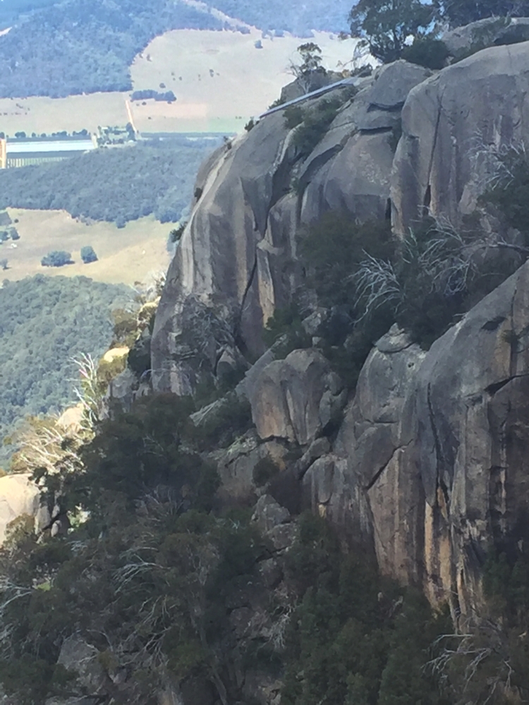
The Gorge, and the hang gliding launch point. Buffalo

The Gorge, and the hang gliding launch point. Buffalo

Mt Buffalo was named by an early explorer because apparently it looked like one. Our next stop, just beyond ‘ the Hump’ was ‘ the Horn’. A very steep, winding road led to within a kilometre or so of the top of the Horn. A steep path, with many granite steps took us the remaining 1.5km to the top. Like all horns it’s not very big at the tip, but the Parks people have fenced around it to make it safe for visitors. Once again beautiful views in every direction.
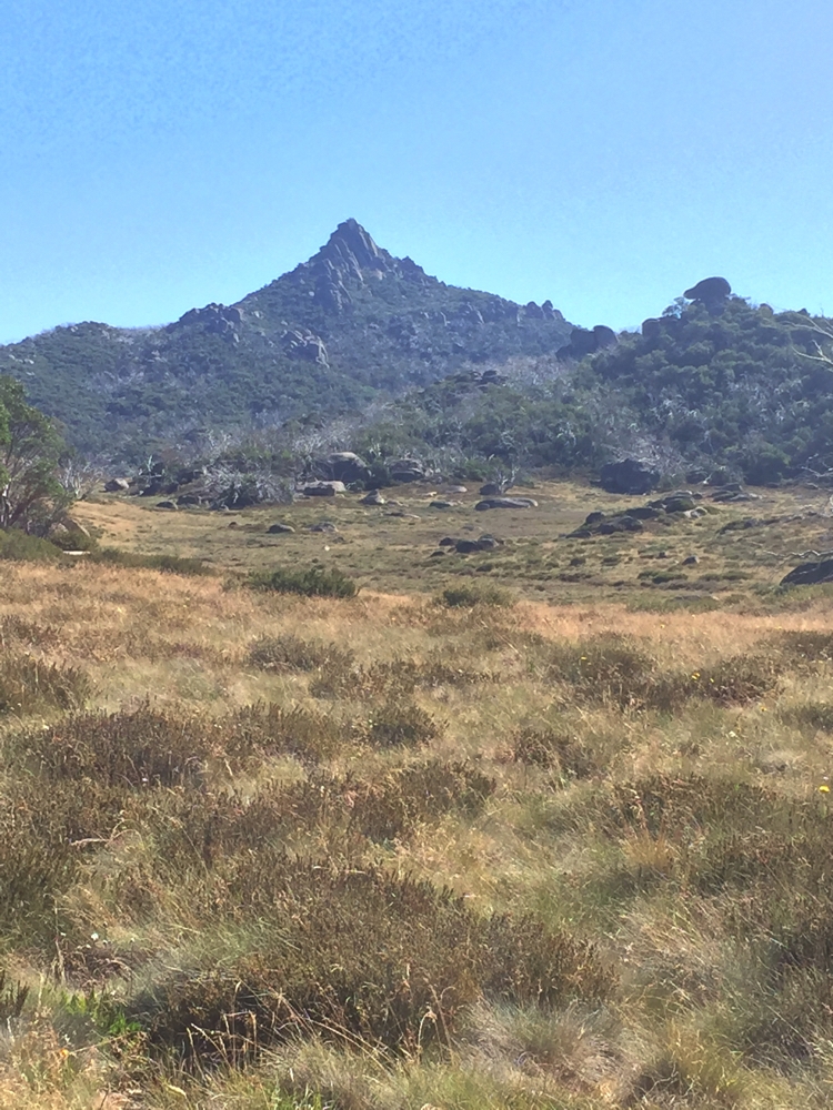
The Horn at Buffalo. If you look very closely you'll see a guard rail around the edge at the very peak. Fantastic views from up there.

The Horn at Buffalo. If you look very closely you’ll see a guard rail around the edge at the very peak. Fantastic views from up there.

On the way back we did a 4km walk across the central plain to Dickson’s Falls, crossing several little streams, peat moss bogs and past Information signs describing the subalpine plants and how the wildlife survives in winter. Very interesting.
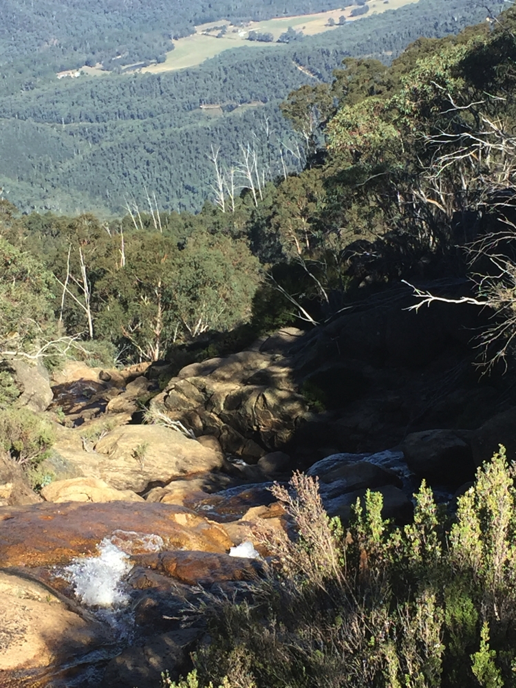
Dickson's Falls, at Buffalo NP.

Dickson’s Falls, at Buffalo NP.

Our campsite at Lake Catani (sites 32 and 33) is heavily treed, and fortunately away from a few large groups of campers. Once more a campfire cooked our meal and kept us warm until we ran out of wood (leftover from last camper). A chilly night tonight.

Camp fees up here are quite expensive at $48 per night.

Wednesday 22nd

A very slow start today – too cold to get out of bed. When we finally did we walked the Chalwell Galleries Track. Quite short, only about 2km round trip from our campsite, but … to get to the gallery you have to climb down a very narrow and very steep chasm in the rocks. It was pretty amazing and lots of fun. The view once through was pretty spectacular, but the climb was the highlight.
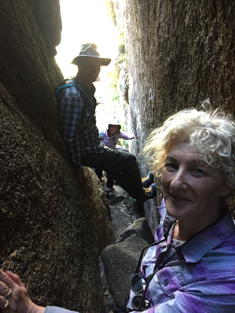
Big of rock climbing required to descend through the Chalwell Galleries.

Big of rock climbing required to descend through the Chalwell Galleries.

Steve put a roast and veggies into the Dreampot to cook while we later walked the Lake Catani circuit. A lovely lake; another 10 degrees warmer and I’d have loved a swim.

The roast was perfect and we spent the rest of the evening chatting around the campfire (bought some  wood from the Ranger’s Office $15/bag). Tonight is much warmer.

Thursday 23rd

Slept very well last night, until a wombat got under the motorhome and decided to scratch his back.

Our last day at Mt Buffalo and we still have a few more walks we’d like to do. The Ranger told us the coffee van would be at The Gorge today so that was our first destination, then up the Monolith. We all loved the views from the Monolith. We walked back to the campsite via the Underground River track. It should really be called an ‘under-rock’ River as huge granite boulders fell and covered it, rather than it forming underground. This is apparently popular with cavers. A very steep descent to the river was rewarded with beautiful cooling breezes coming from the river tunnels. The hot, steep  ascent the other side undid that feeling quickly. We walked for around 4hours today, most of it either going up or down. The walks here have all been very enjoyable.


Back at camp for a rest before another campfire and BBQ tea – Cracklin’ Chicken cooked in duck fat for us.

For more photos from Mt Buffalo CLICK HERE

Friday 24th

We farewelled Mt Buffalo this morning. Great walking – not long walks but very enjoyable. Back to Bright for a bit of grocery shopping, lunch at the Ginger Bakery and a bit of decent internet.

After lunch we headed to Harrietville, not far away, in preparation for our walk to Mt Feathertop tomorrow. We camped at the caravan park ($36/night powered). The park is grassy with large shade trees and runs right alongside the Ovens River; here the river is not much more than ankle deep, but flows quite swiftly. Beautiful campsite.

Early night in preparation for tomorrow.

Saturday 25th

Wow! What a day! We walked the Razorback Track (1600 metres altitude), to the summit of Mt Feathertop (1922m), then back to Harrietville via the Bungalow Spur track. A total of 24 km.
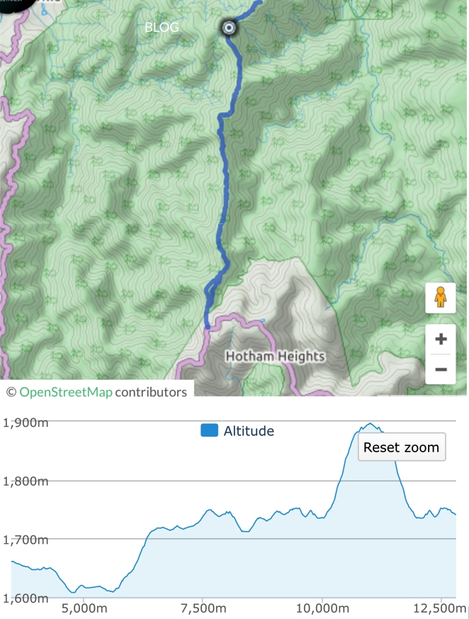
Map and profile of our walk up to Feathertop. Note, there's still 10.5km of descent to do after that.

Map and profile of our walk up to Feathertop. Note, there’s still 10.5km of descent to do after that.

It started with us all piling in to Ric and Gill’s camper to drive the 28km to the Razorback Trailhead. The Alpine Way is very steep with lots of hairpin bends – a tough drive that took about 45 mins. The forecast was a temperature range of 4 – 12C, slight chance of rain. We were geared up with thermals, beanies, scarves, gloves and rain jackets.
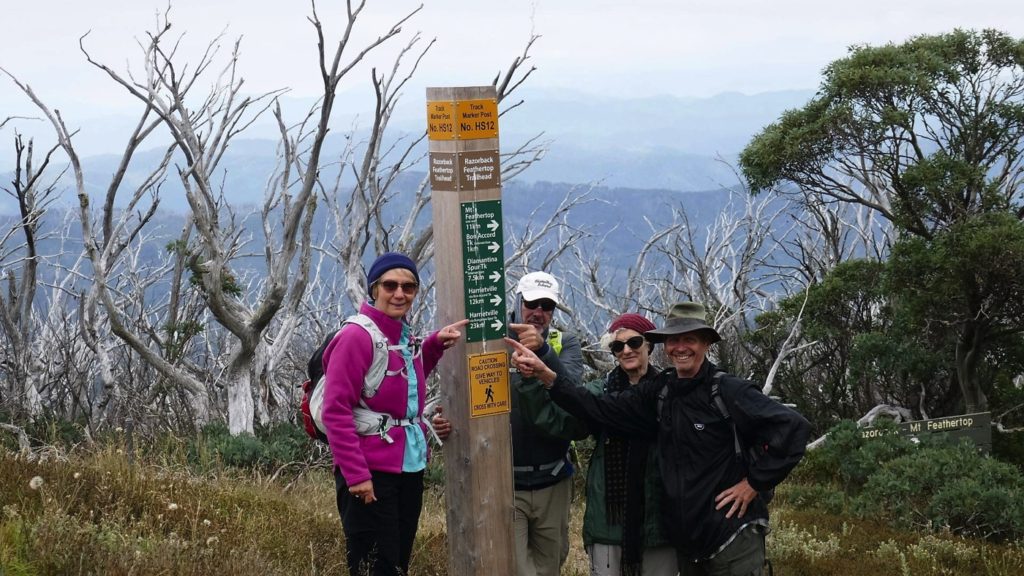
THAT'S where we're going - plus another 3km to the top of Feathertop and back down again.

THAT’S where we’re going – plus another 3km to the top of Feathertop and back down again.

Fortunately the day turned out to be quite pleasant, mostly overcast but no rain. It didn’t take long before we started stripping off the thermals.
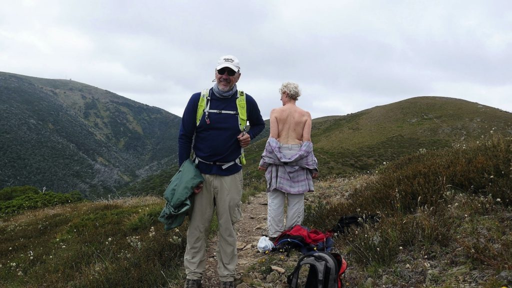
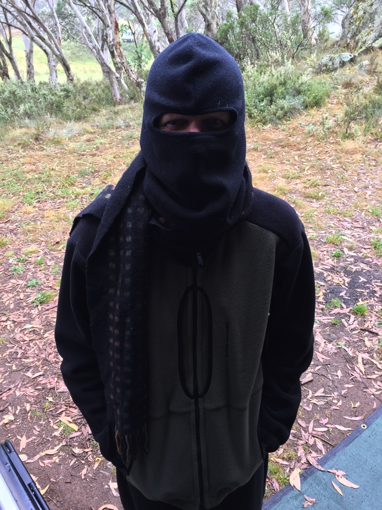
And the layers came off ... Steve's complaint, "How come this can go on the internet for the world to see, but I wasn't allowed to turn around." (Photo R.Jay)

And the layers came off … Steve’s complaint, “How come this can go on the internet for the world to see, but I wasn’t allowed to turn around.” (Photo R.Jay)

This walk is described as one of the best Alpine walks in Australia. As the name suggests it follows a narrow ridge with steep slopes on both sides. Being mostly above the tree-line the views in every direction are breathtaking. As we got higher there were more and more wildflowers, including an entire slope covered in white paper daisies. There was a fair bit of up and down, with some sections of the track being difficult to walk on.
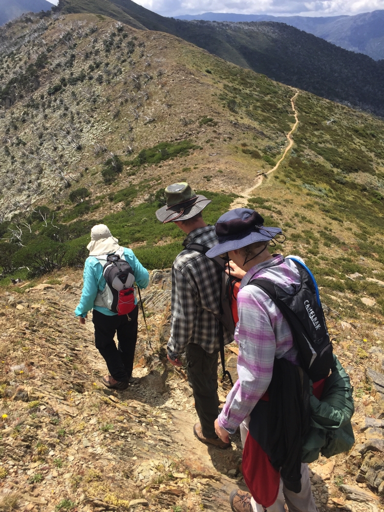
Tricky walking on parts of the path.

Tricky walking on parts of the path.

After 10+km we reached ’The Cross’ where the Bungalow Spur Track joins in. The summit of Mt Feathertop is another 1.5km further on, up a very steep, difficult path, the first section loose shale.

This is one of the most iconic walks in Australia. Razorback. (Photo R.J)

This is one of the most iconic walks in Australia. Razorback. (Photo R.J)

Just short of the summit a whoosh just above my head frightened the daylights out of me – it was a very low-flying glider (Ok it was a bit over 1922 metres up, but not much!). We made it to the top and it really was well-worth that huge effort. The glider continued to circle around us for a while before we headed back.
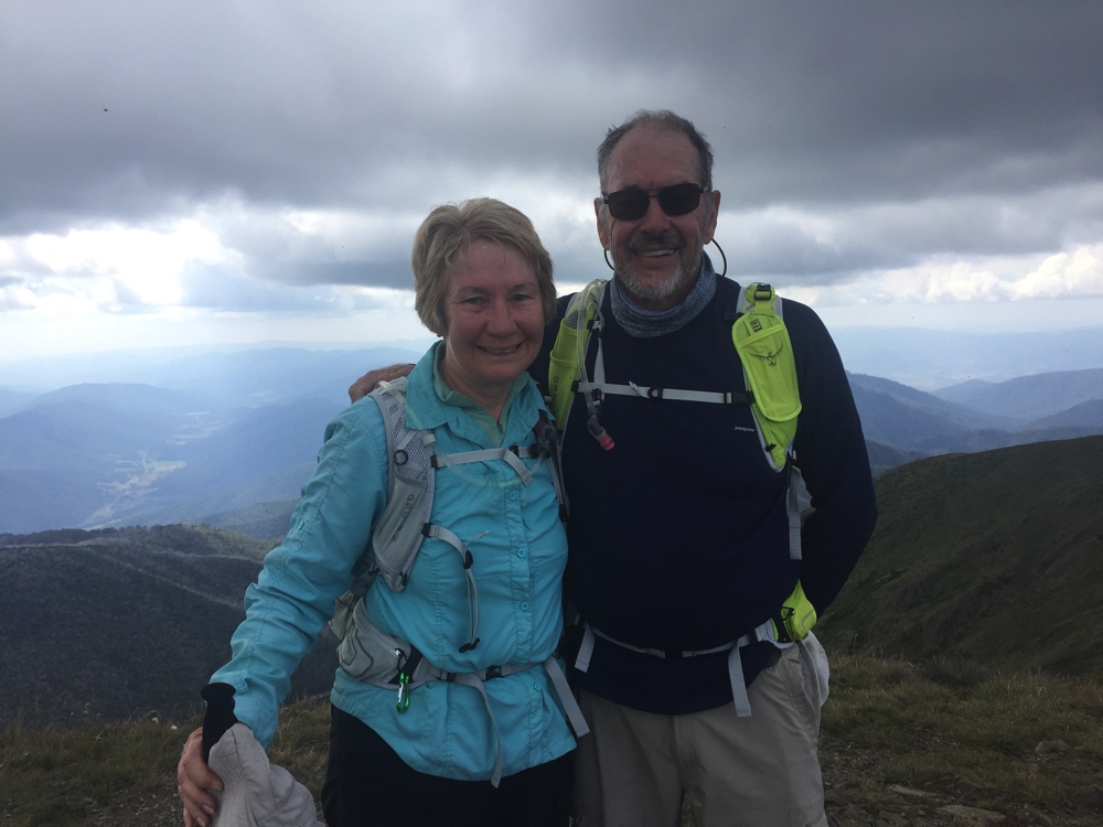
Steve and I at the top of Mt Feathertop.

Steve and I at the top of Mt Feathertop.

The return via the Bungalow Spur was a real trial. Basically it was 12km of descent, the first third of it on a shale-y, rocky path, the remainder of the path pretty good, but the constant down was very painful on my knees. Gill suffered too and our return was a lot slower than we’d planned. We finally got to the bottom at 7.45pm, just before dark.
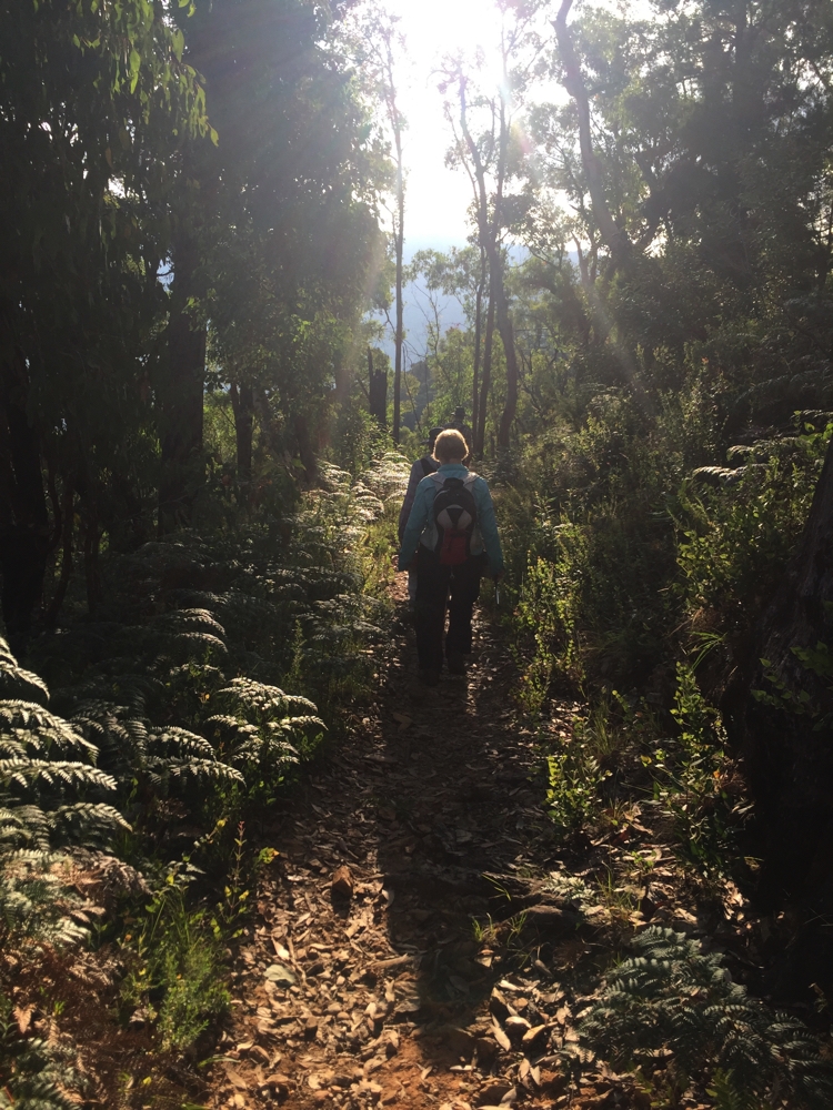
Heading down Bungalow Spur.

Heading down Bungalow Spur.

We walked for 9 1/4 hours. Steve and Ric had it even tougher. They had to walk a further 2+km to the caravan park to pick up Priscilla, very kindly drove back and picked Gill and I up, then they drove back up to where we’d left Ric’s camper at the Trailhead and back again. Hero-status for them!

In the meantime, back at the caravan park with no camper or motorhome, Gill and I took off our trousers and sat in the freezing waters of the Ovens River for just as long as we could bear it. It sure felt good on our aching legs.

A big effort today, but well worth it for the magnificent walk – the Razorback/Mt Feathertop bit anyway.

For more photos from Razorback and Mt Feathertop CLICK  HERE
 

Kosi to Buffalo

17th – 20th February, 2017

Friday 17th

Today we farewell Kosciuszko NP, but not before seeing a little of the Snowy River Scheme. I’d love to know more about the Scheme and visit all the sites – next trip!

We left the park via Khankoban, then to Corryong for some shopping and on to Jingellic on the NSW side of the Murray River, not far away, for the night. This lovely campsite is free and is situated between the Bridge Hotel and the Murray River. The beer garden overlooks the camping area and across to the river. However … it is Friday night. The place was packed with groups for the weekend, and the pub was busy with drunks wandering through the campsite quite late. Not happy.

Saturday 18th

We moved 5km down the river to Gadds Bend Reserve, on the Victorian side. Fantastic! Camping is anywhere along about 250m of the beautiful Murray River, where it’s fairly shallow, with a few little rapids that make that delightful sound and is very easy to access if you want to swim. The River Red Gums that line the banks are stunning. Only us and two other campers here, very spread out.

Gill and Steve and I went for a walk along the road and found a gated lane called Redbank Track. We followed this up the hill for a kilometre or so getting beautiful views back over the Murray and the surrounding hills on the New South Wales side.

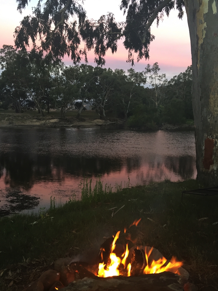
A great fire on the banks cooked our BBQ tea. The setting sun turned the wispy clouds pink, which were then reflected in the river.

Sunset at Gadds Bend on the Murray River.

Sunset at Gadds Bend on the Murray River.

Unfortunately the couple up from us came over to share the fire and rather spoilt the serenity of the evening with their ceaseless chatter about themselves – no art of conversation!

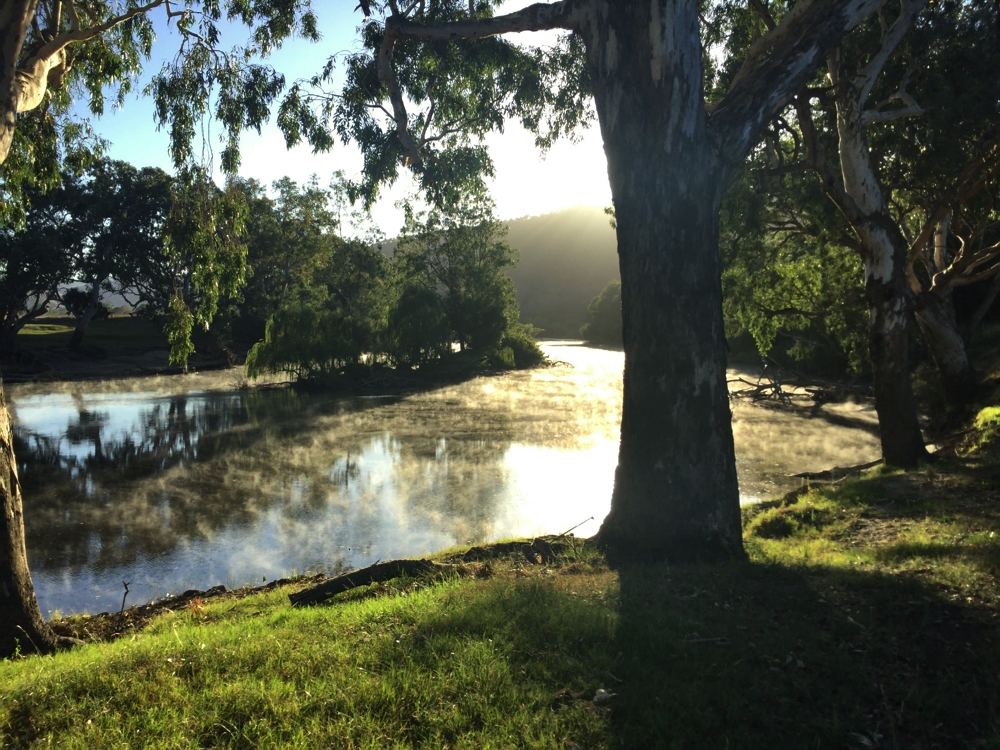
Early morning mist on the Murray River at Gadds Bend campsite.

Early morning mist on the Murray River at Gadds Bend campsite.

Sunday 19th

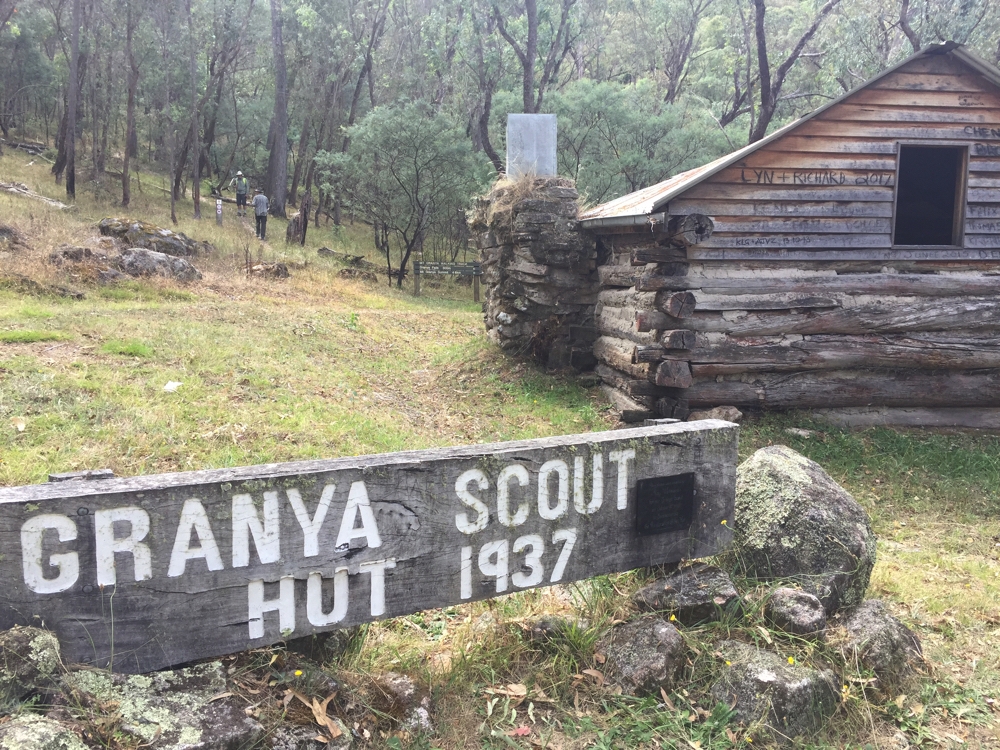
I’d have been very happy to stay here another night or two, it’s such a beautiful spot, but more bushwalking beckons and our next goal is Mt Buffalo. There’s a free camp at Cotton Tree near Granya State Forest which we stopped to take a look at, then walked via a restored scout hut to a small waterfall. The track continued up the hill but the condition of it was very poor.

The restored Granya Scout Hall on the walk into Granya State Forest, just up from Cotton Tree campsite.

The restored Granya Scout Hall on the walk into Granya State Forest, just up from Cotton Tree campsite.

The Ranger recommended a campsite at Boyd’s Bridge which we moved on to for the night. We’ve been quite spoilt with lovely camping areas beside rivers.

Monday 20th

Early departure for the very pretty town of Bright where Gill and I have appointments at the beautician for a little bit of maintenance. It’s a Caravan Park tonight, giving us the opportunity to get the washing done; it’s also quite cold and Mt Hotham, not far from here, is expecting snow tonight – not the night to be heading up into the mountains. Bright is a tourist town, being so close to Mt Buffalo and Mt Hotham, and is filled with interesting shops, eateries, wineries, berry farms and boutique distilleries – all of which we supported.

This afternoon we went for a really lovely walk around the river that flows through the town.

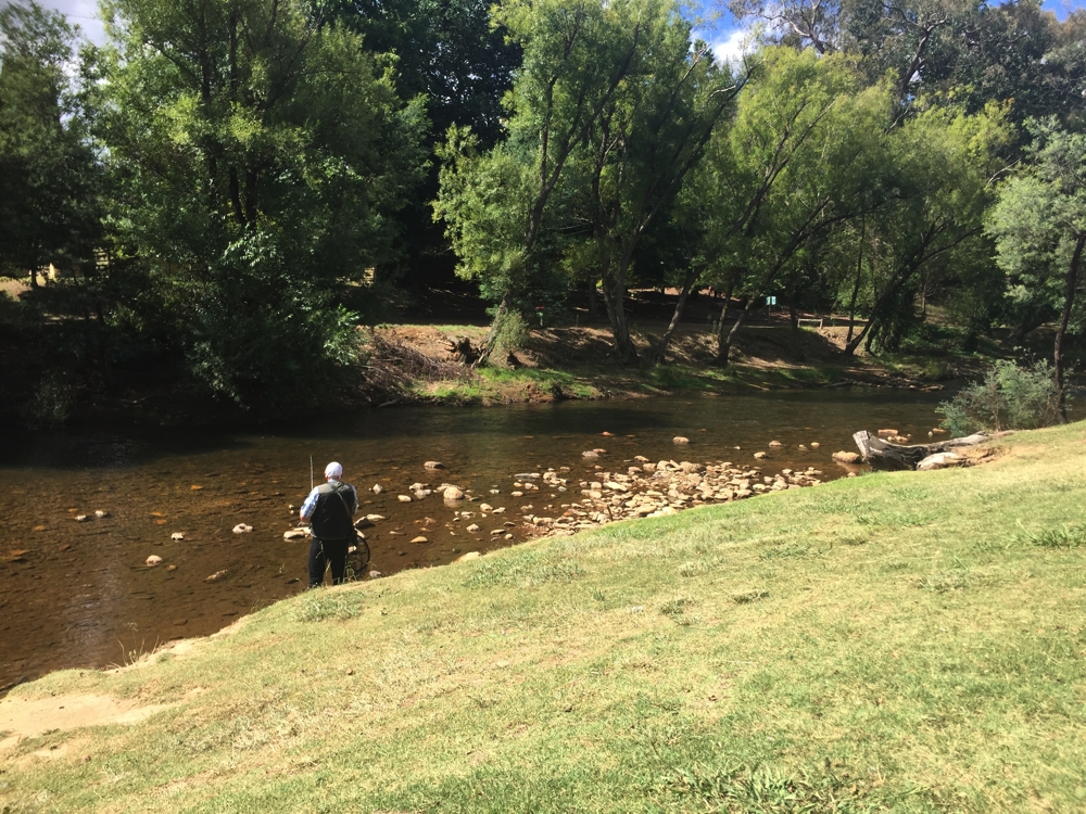
Fishing for trout in the Ovens River at Bright.

Fishing for trout in the Ovens River at Bright.

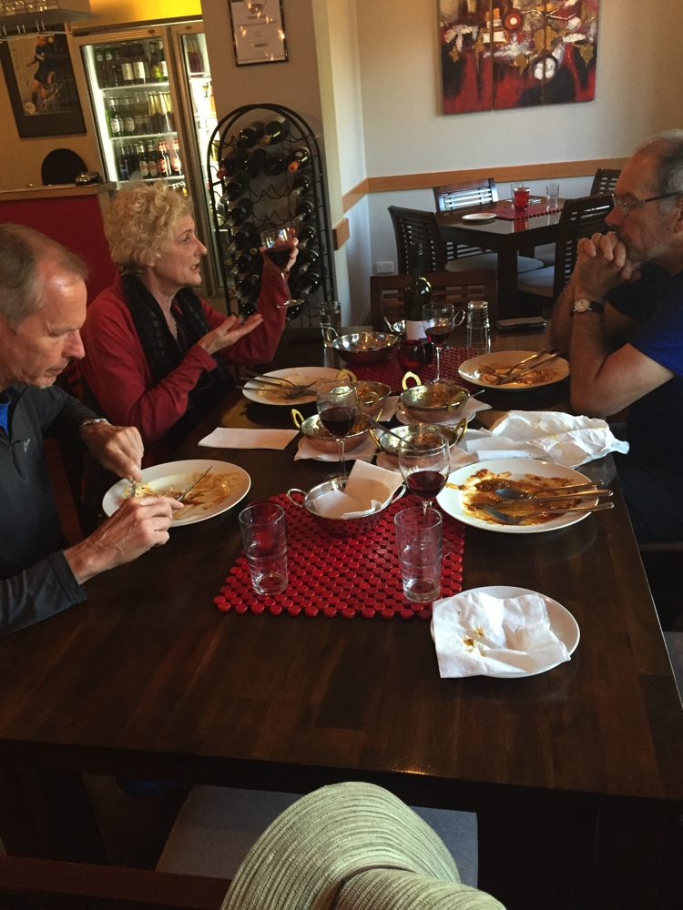
Dinner tonight was at Shimla described as an Italian Indian restaurant. The proprietors/cooks were Cesare (Italian) and Prue (Indian). Our meals were delicious and as we were finishing up Cesare joined us at the table and opened another bottle of wine which we all shared. A very convivial evening.

An Indian meal greatly enjoyed at the Shimla restaurant, Bright.

An Indian meal greatly enjoyed at the Shimla restaurant, Bright.

For more photos taken during this stage of our trip CLICK HERE.

Kosciuszko

5th – 16th February, 2017

Sunday 5th

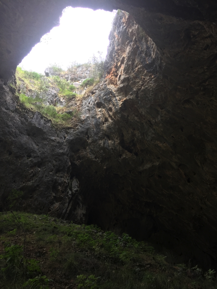
And so the Kosciuszko part of our trip begins. We’re doing the northern section first, entering the park via Tumut. Our first stop was the thermal pools and caves at Yarrangobilly. Access to this area is on a steep unsealed road unsuitable for caravans. We didn’t tour the caves, but even just the entrance was spectacular; the drop in temperature from a warm 32-ish to low 20s within about 3 steps was worth it.

Looking back out through the cave entrance.

Looking back out through the cave entrance.

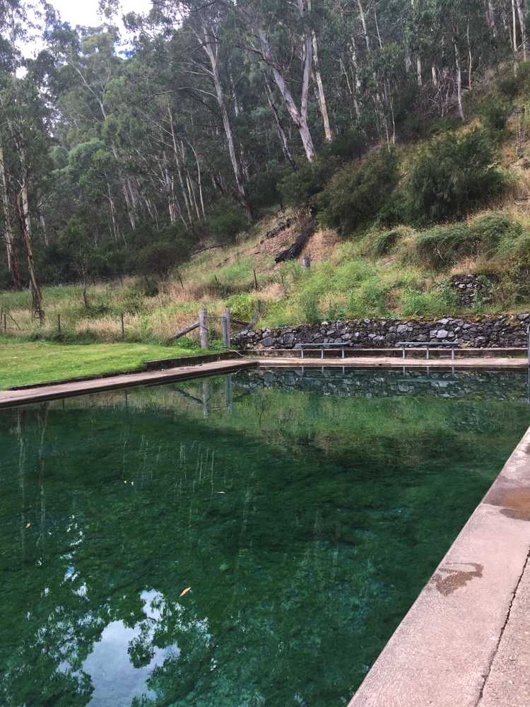
We continued walking along the Yarrangobilly River to the thermal pool. It’s a 20 metre pool constructed over fissures in the rocks from which the water is forced from a depth of 760m and is a constant 27C. Apparently the Eastern Banjo Frog breeds in the pool, a sign of the health of the pool, but happily not encountered during our swim. Surely this is the most perfect swimming pool in the world, in a narrow river valley surrounded by gums, birds and a family of kangaroos.

How's this for a tranquil pool setting! Yarrangobilly

How’s this for a tranquil pool setting! Yarrangobilly

Tonight we camp at Ghost Gully campsite, a large flat site used by horse -trekkers. A pile of timber beside a fireplace couldn’t be resisted.

Ghost Gully campsite.

Ghost Gully campsite.

Monday, Tuesday 6th, 7th

Our planned camp at Blue Waterholes was ruled out after it rained overnight making the road ‘difficult’. Instead we camped for two nights at Three Mile Dam. The early gold prospectors created a dam from the Eucumbene River for year round water and to use it to blast the rock and soil to find gold. We walked the Goldseekers Track loop walk both days, about 6km.

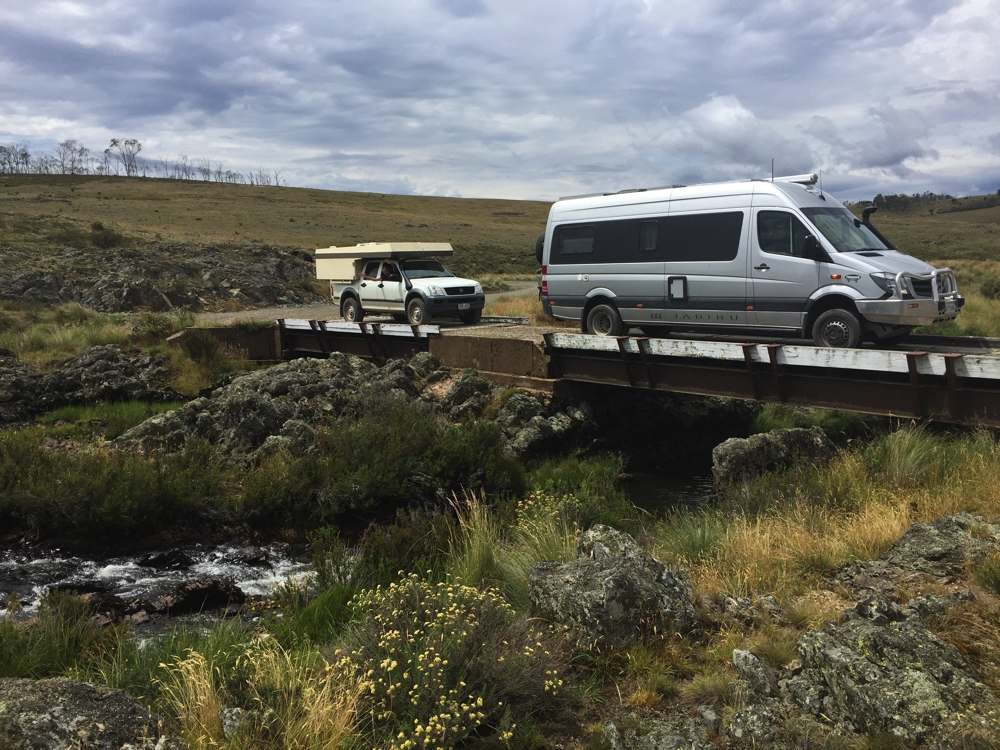
Crossing the mighty Murrumbidgee R - in its early days.

Crossing the mighty Murrumbidgee R – in its early days.

The weather is getting colder and it’s rained a few times, and no firewood here, sadly.

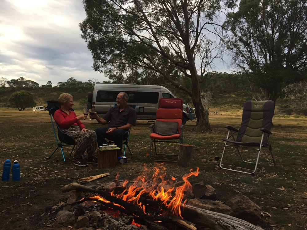
Yep it did get a bit chilly, not that Ric was cold.

Yep it did get a bit chilly, not that Ric was cold.

Wednesday 8th

Big day today. We’re heading for the southern walks via Jindabyne. At Jindabyne we reprovisioned our food, water and fuel as well as bought Park Passes at the Information Centre, necessary for entry into this section. We had a yummy lunch at the cafe at the Information Centre. (Water only available at the BP servo, dump point near the tip).

We headed firstly to Perisher where we parked and did the Porcupine Walk, a 6km out-and-back walk to Porcupine Rocks. Wildflowers, button grass plains, snow gums and large granite outcrops characterised the walk, with great views down Thredbo and Perisher Valleys from the top.

On Porcupine Rocks. Steve, Gill, Denise, Ric.

On Porcupine Rocks. Steve, Gill, Denise, Ric.

Camp tonight is at Island Bend campsite, alongside the Snowy River. A fabulous spot.

Thursday 9th

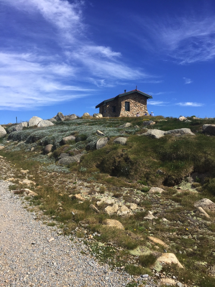
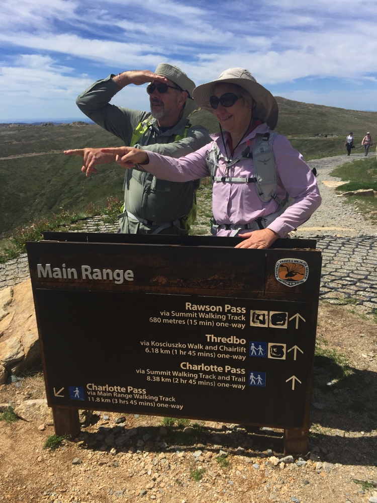
Today we walk to the top of Australia! We left from Charlotte Pass, Ric taking the Main Range loop and Steve, Gill and I walking the more direct Summit Walk, 9km straight up. We brunched on the banks of the Snowy River, paused briefly at the iconic Seamans Hut, did the appropriate thing at the highest toilet block in Australia at Rawsons Pass and lunched beside the cairn marking the highest point on the Australian continent where we had 360 degree views across the roof of Australia. Mt Kosciuszko is 2228 metres and was named by the Polish explorer Count Strzelecki.

Seamans Hut, on the Kosiuzsko Summit walk.

Seamans Hut, on the Kosiuzsko Summit walk.


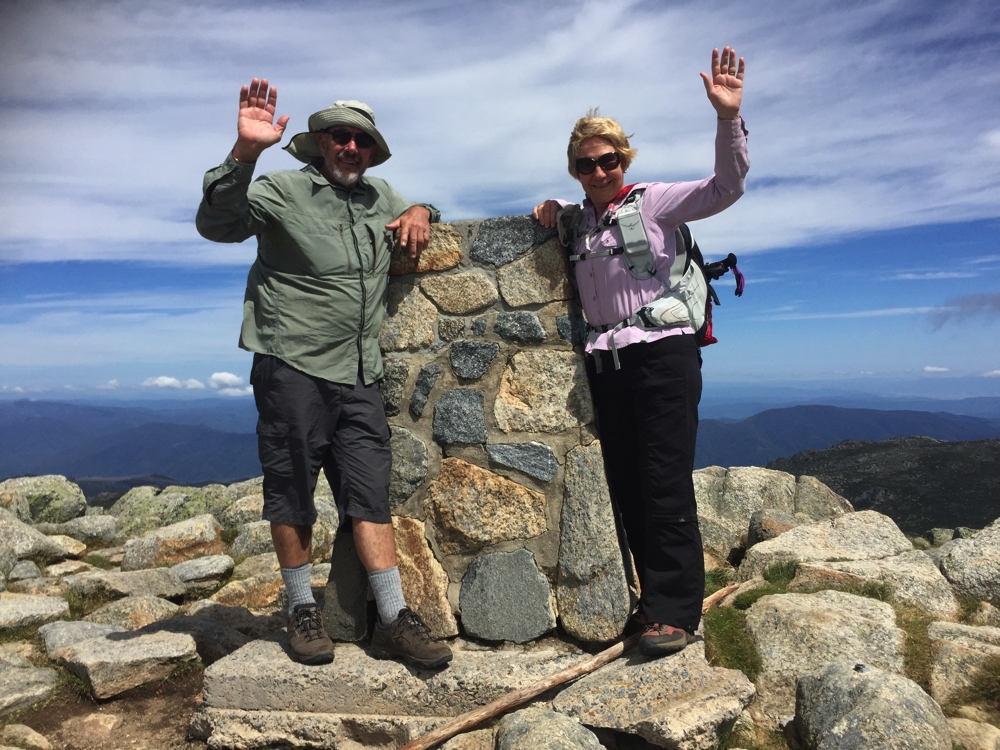
Yay, we made it! We're at the very highest point on the Australian continent.

Yay, we made it! We’re at the very highest point on the Australian continent.

When Ric arrived Steve and I decided to walk back via Main Range while Ric and Gill took the Summit Track back down.

After summiting Kosiuzsko Steve and I decide to go that way back to Charlotte Pass.

After summiting Kosiuszko Steve and I decide to go that way back to Charlotte Pass.

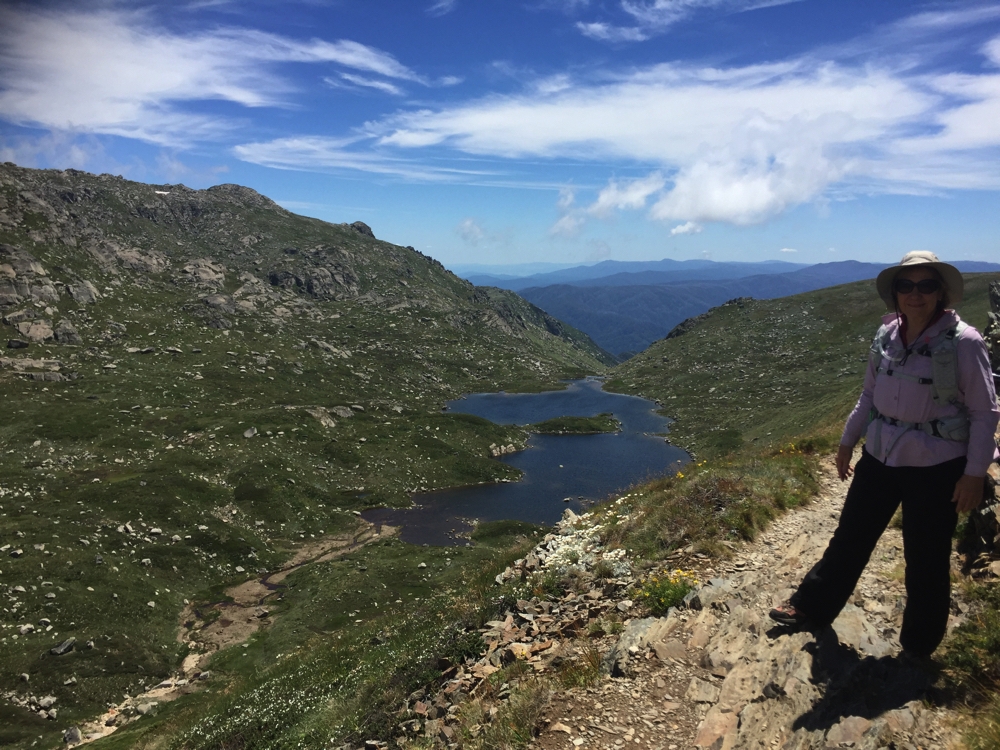
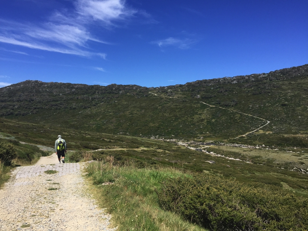
This walk is described as one of the classic walks of NSW and it is certainly that. It’s also described as a hard walk and again I won’t disagree. The track winds up and down around mountains, past residual ice not yet melted and overlooks beautiful lakes, Lake Alpina being one of the most stunning. We sat awhile and absorbed the views and the serenity on the way up to Carruthers Peak, there being very few walkers about. While it was sunny, the wind was pretty ferocious, blowing us sideways in some exposed areas. The clouds were only just above us; it felt like we could reach up and grab them. The snow gums intrigued us with their patterned trunks while the abundance of wild flowers added even more beauty to the walk. We crossed several creeks, the final two on stepping stones over Club Lake Creek and the Snowy River, before commencing the final VERY steep climb up nearly a kilometre to the car park. A tough way to finish a total walk of 23km, 1000 metres of ascent and descent and 8 hours.

Denise overlooking Lake Alpina.

Denise overlooking Lake Alpina.


Down the track, across the Snowy River, then up and up and up that last climb to the carpark. Brutal!

Down the track, across the Snowy River, then up and up and up that last climb to the carpark. Brutal!

The track condition was quite varied, starting at the Kosciuszko end being well formed and deteriorating as you got further along, some parts on large granite stone paving slabs, other sections narrow path worn by many feet, other sections badly crumbling little paving bricks, some small gravel sections and the worst of all medium sized gravel stones. There was a track maintenance crew working on it, laying more huge granite paving stones.

We arrived back at camp weary but very pleased we’d done the whole circuit, to say nothing about having reached the top of Australia – woo hoo!

Ric cooked a butterflied pork over the fire on the BBQ for dinner – divine.

Friday, Saturday 10th, 11th

The east coast of Australia is currently roasting with temps in the high 30s to low 40s. We’ll stay here, camped right beside the chilly Snowy River enjoying swims and cool breezes for a couple of days. Believe it or not a cold change is then forecast with temps down to zero at Thredbo.

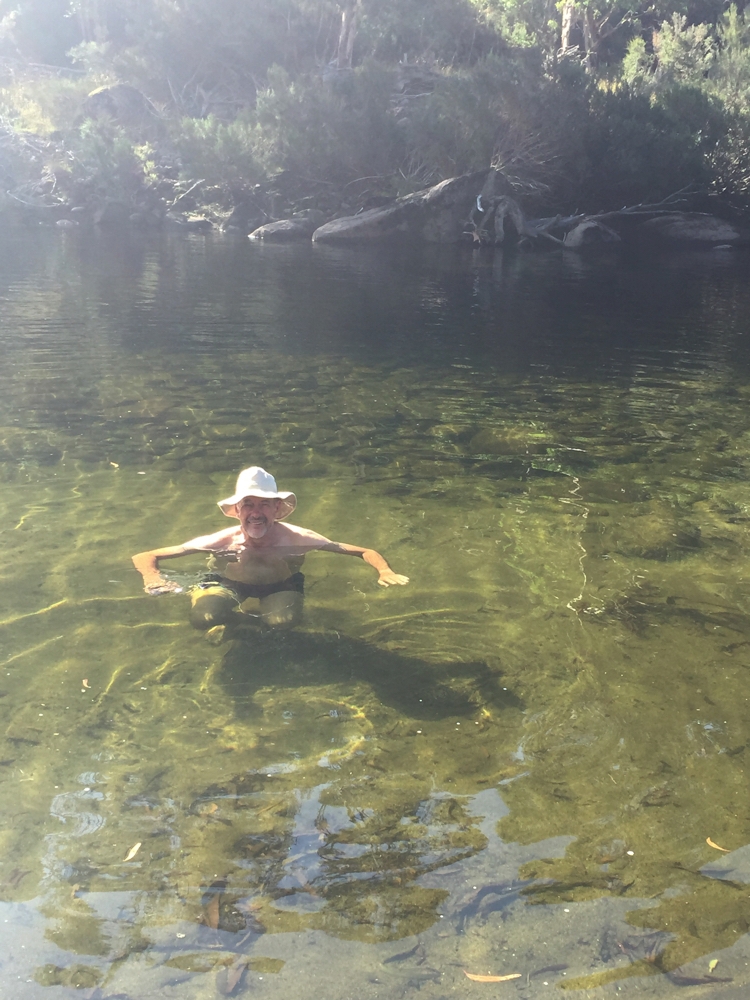
Swimming in the crystal clear, and jolly cold, waters of the Snowy R.

Swimming in the crystal clear, and jolly cold, waters of the Snowy R.

Upstream from us is Guthega Dam, part of the Snowy River Hydro Scheme. There are warnings around our campsite saying beware of rapid increases and decreases in river levels and sure enough one moment it was just a pretty little, shallow river weaving around rocks and half an hour later it was a meter deeper with rapids. Looks like they suddenly decided to create a bit of electricity.

Sunday, Monday 12th, 13th

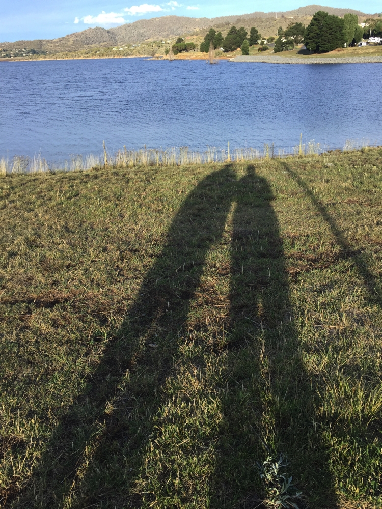
The change came through and Jindabyne is now a pleasant temperature so we moved to a caravan park there ready to do the walks that leave from Thredbo. Gill and Ric have taken a cabin to stay warm – we’re cosy in Priscilla. Went for a short walk around a section of Lake Jindabyne, which our campsite overlooks. Lovely parks and great to walk beside such a beautiful lake.

Afternoon shadows at Lake Jindabyne.

Afternoon shadows at Lake Jindabyne.

Monday we were up at Thredbo by 10am and took the ski lift up some of the way to Kosciuszko. We’re going to the summit again, this time via the Kosciuszko Track which starts at the ski lift at Thredbo Village, then you walk the remainder – 12km round trip. This path to Kosciuszko is very pretty and 90% of it is on metal board walk – so much easier to walk on then gravel or paving rocks.

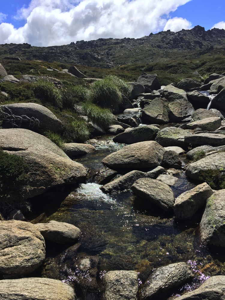
The many little creeks tumbling down the mountainside are so pretty.

The many little creeks tumbling down the mountainside are so pretty.

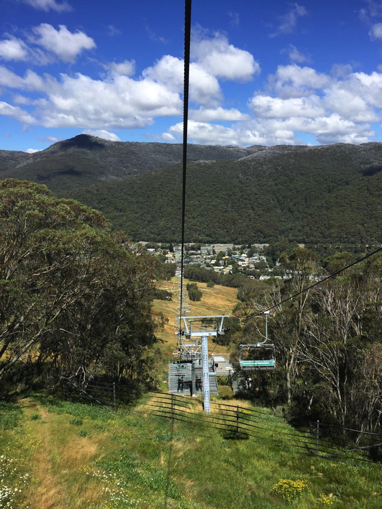
We really enjoyed the walk, and not nearly as many people up the top this time. The ski lift down, where you could see the view better, was quite spectacular. That’s twice we’ve been to the top now and walked 3 different routes (there and away), so no need to do it again!

Descending the ski lift - Thredbo below.

Descending the ski lift – Thredbo below.

Dinner tonight in Jindabyne at the Maya Asian restaurant. (OK)

Tuesday 14th

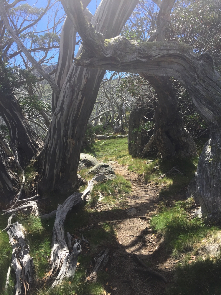
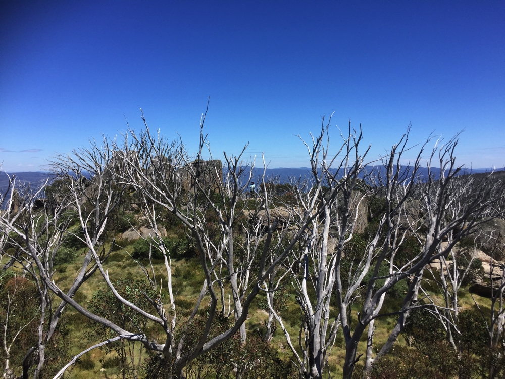
Leaving Jindabyne we restocked everything (water, fuel, food), had breakfast at the Information Centre Cafe – top cafe – parked the motorhome in Thredbo and walked the combined Dead Horse Gap and Thredbo River walks for a total of 11km. The Dead Horse Gap walk took us through beautiful Snowgums. A lot of the gums have died from a fire in the park in 2003, which is a tragedy, but their pure white trunks still look stunning. Plenty of new growth coming through.

Amazing natural sculptural works of art along the Dead Horse Gap track.

Amazing natural sculptural works of art along the Dead Horse Gap track.


Falls, on the Thredbo River.

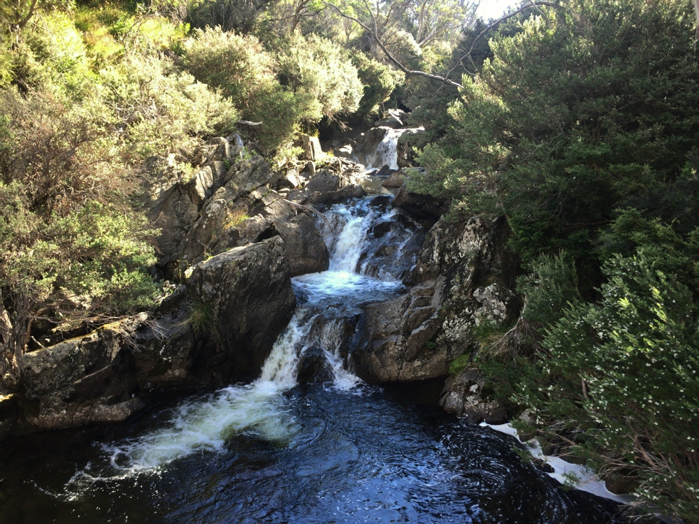
Falls, on the Thredbo River.

Tonight we camped at Ngarigo campsite. This is a fantastic camp beside the Thredbo River. If ever I’m back, try to get the first campsite on the right as you come to the open area again! A campfire this evening kept us happy for many hours.

Wednesday 15th:

I’d like to call today a lazy day because we didn’t go anywhere, nor do any of the lovely walking or cycling along the river you can do from the camp (Ric and Gill did!), but instead I did home maintenance, sorting drawers, labelling spices, and cleaning, and still felt I’d put in a hard day.

Thursday 16th:

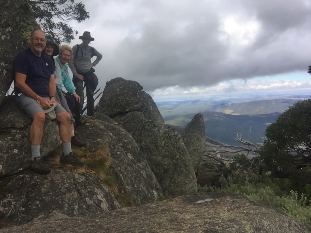
Today we move on, but not before another walk. We parked the motorhome and camper at Dead Horse Gap and headed off on the Cascade Hut walk. Ric did the whole walk, Gill, Steve and I only as far as Bob’s Ridge. It was a good out-and-back walk of nearly 10km, the ‘out’ being all uphill. We crossed the Thredbo River which was beautiful, lovely views across valleys and interesting rock formations, but not as stunning as some of the other walks we’ve done.

The view from Bob's Ridge. Look carefully to see Denise through the trees on the far rock.

The view from Bob’s Ridge. Look carefully to see Denise through the trees on the far rock.

This is our last walk in Kosciuszko NP, for the time being. Still plenty more to do on another visit.

We headed out on the Alpine Way, a steep winding road taking us towards our campsite for tonight at Geehi. It’s quite a descent, not recommended for caravans – we did most of it in 2nd or 3rd gear. It was 21C when we started heading down and 30C at Geehi.

The campsite is fantastic – heaps of sites, mostly separated from each other along the Geehi River. We needed a swim! The Geehi R is a typical Alpine River – only about half a metre deep, large granite rocks form the riverbed, crystal clear waters flowing very rapidly and freezing cold! It was heaven.

Lousey picture of our campsite at Geehi. Between the trees is the river. It was a very pleasant campsite.

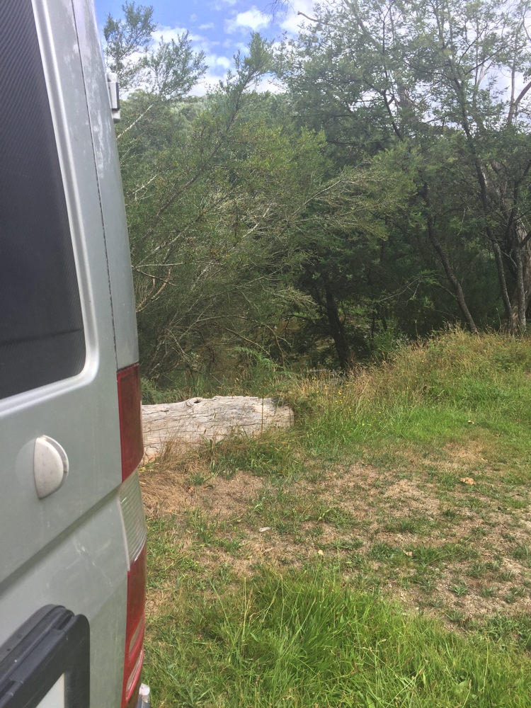
Lousey picture of our campsite at Geehi. Between the trees is the river. It was a very pleasant campsite.


View of Main Range from a lookout as we left Kosciuzsko NP. Interesting to see Carruthers Peak and Mt Sentinel from this angle - we walked up Carruthers Peak on our return trip from Kosciuzsko summit the first time.

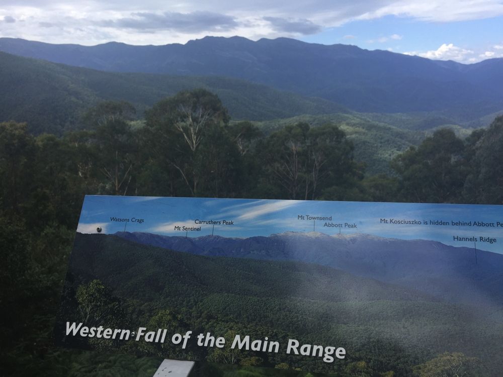
View of Main Range from a lookout as we left Kosciuszko NP. Interesting to see Carruthers Peak and Mt Sentinel from this angle – we walked up Carruthers Peak on our return trip from Kosciuszko summit the first time.

To see more photos from our time in Kosciuszko National Park CLICK HERE.


Coddiwompling begins

29th January – 4th February 2017:

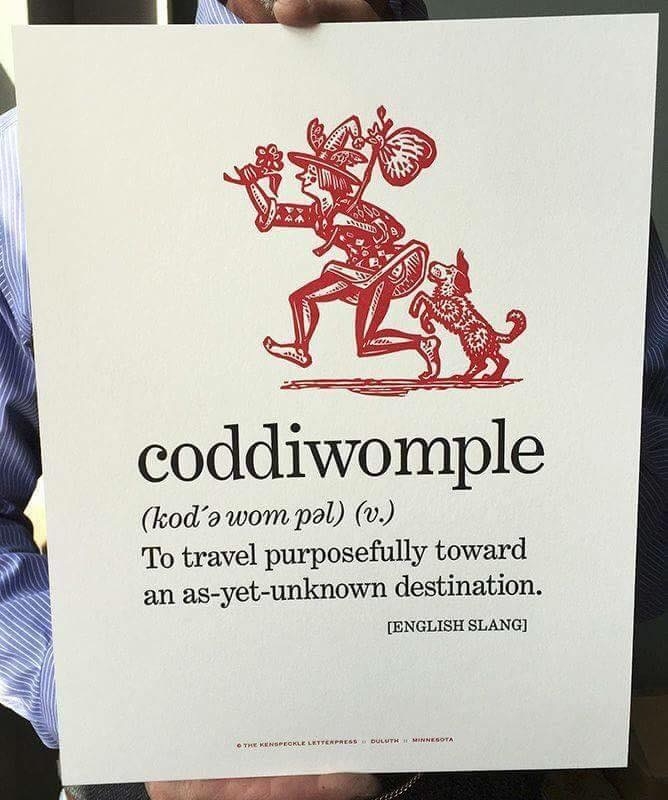
Sunday 29th: The decision to head off for a long trip of indeterminate length and destination was a sudden one. About 3 weeks ago the stars aligned making it possible for us to leave home for at least 6 months. Not long to prepare for such a long trip!

Our life for a while to come.

Our life for a while to come.

We got away from home just after lunch, only driving a short distance to Ormeau to spend a relaxing time with our friends Siggy and Heather where we solved most of the world’s problems and discussed their plans for their new home – quite an exciting concept.

Monday 30th: Next day (Happy birthday Nick), after a leisurely start we headed to Rod and Chris’s 100 acre property at Upper Orara, inland from Coffs Harbour.
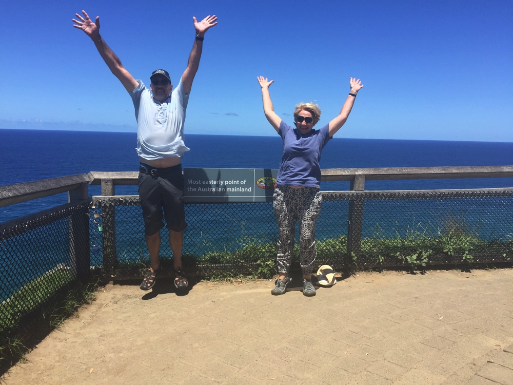
We’ve decided to see if we can reach the main compass points on mainland Australia, so Byron Bay on the way couldn’t be missed.

Counting down the compass points in Australia.

Counting down the compass points in Australia.

Rod has been a friend for many, many years though it was 35 years ago we last caught up. Needless to say the afternoon and evening was spent reminiscing. A toast to good times, and a few more for the future.

Tuesday 31st

A long drive down the Pacific Highway today –  473 km from Rod and Chris’s to Bangalow Campsite in Watagans State Forest. It was a very hot day today with temps in the high 30’s – driving was the place to be! We brunched at Nambucca Heads by the river, and enjoyed a brief stopover at Karuah to pick up some oysters to enjoy with our champagne tonight. As we arrived a line of storms was passing through the area, which made us change our mind about Heaton Lookout, our original destination where rain would possibly make an already pretty bad road dangerous. The road to Bangalow is unsealed with various parts in poor condition with wash-aways and pools of water, but not too steep. The 4WD was barely tested.

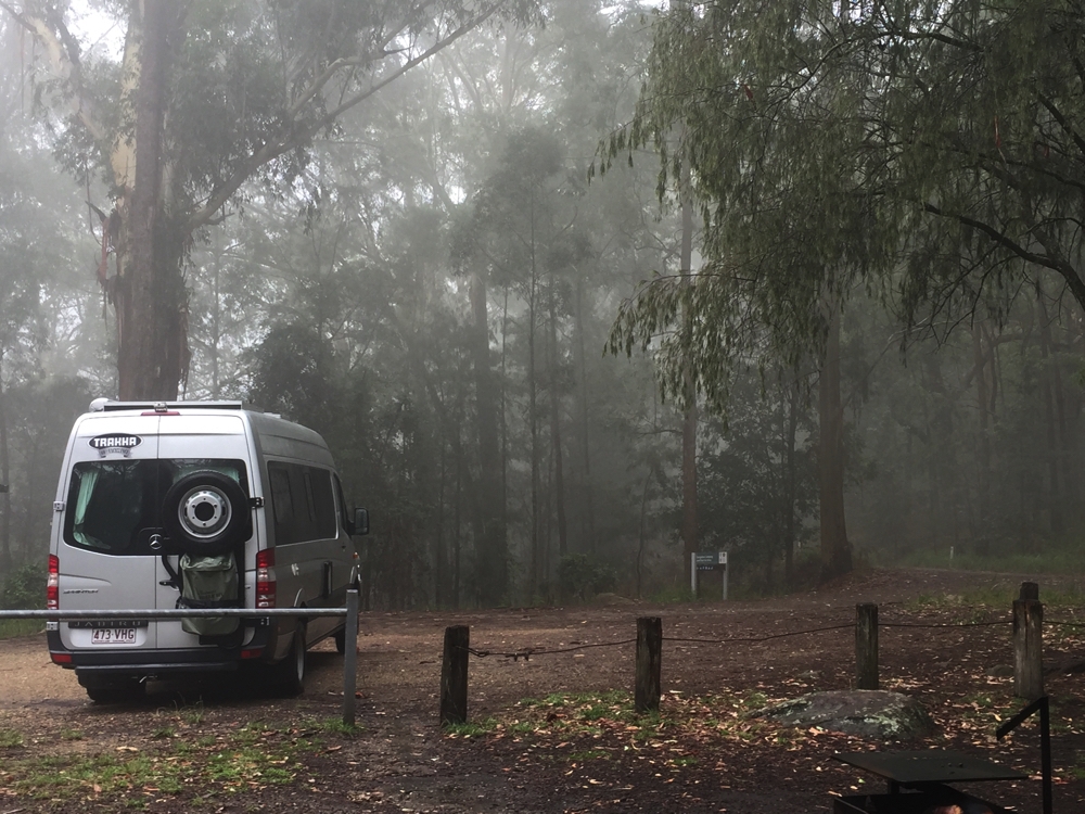
Camping in the clouds. Bangalow Campground, Watagans NP

Camping in the clouds. Bangalow Campground, Watagans NP

The campsite is quite small with parking for only about half a dozen vehicles. Only in-vehicle or tent camping is possible as the grassy camping area is separated from the parking. There’s a picnic shelter with table, a gas BBQ (out of order) and the loos, and very pretty little kangaroos. It’s completely surrounded by the forest which made for an ethereal atmosphere as the clouds settled over and amongst the trees. With elevation and the passing of the storm the temperature was pleasant. We spent a peaceful night as the only campers here.

Wednesday 1st February:

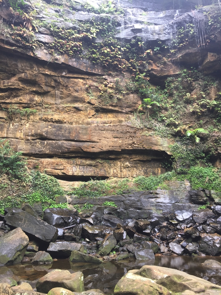
After a very relaxing morning we went for a walk. Just down the road is the Gap Creek Falls day use and camping area. The walk isn’t far, maybe 5km return from our campsite, but the path down to the creek to view the falls is very steep with lots of rock hopping and scrambling over rocks that are wet and slippery. However once down the falls are beautiful – nature is the best landscape designer! We loved the plants, the rainforest setting providing a beautiful palette for the falls which feed the pool at the bottom and the shallow creek that bubbles over and around a rocky creek bed.

Gap Creek Falls. Our descent was very nearly as steep at the falls themselves.

Gap Creek Falls. Our descent was very nearly as steep at the falls themselves.

That evening we settled in for another solitary night, only to be surprised (disappointed!) by 2 camper vans arriving within about 20 minutes of each other, well after dark, and parking closely on either side of us. What is it about parking close together when the park is otherwise empty!

Thursday 2nd:

Up early and off today to Kiama to stay with cousin Lynette and Geoff. On the way we dropped in briefly to Trakka at Kuring Gai for a minor problem. As usual a delightful evening chatting, sharing news and reminiscing. Thanks Lyndie and Geoff.

Friday 3rd:

Today we meet up with Ric and Gill who we’ll be bushwalking Kosciusko with. They’re with their cousin Glen and Jen at their beach house in Bendalong. What a delightful little beachside town this is. Their home backs onto the national park and is one block off the beach – the best of both worlds.

We all lunched at St Isadores in Milton, about 20 mins south. The restaurant which is set in beautiful gardens, grows its own vegetables and fruit and has a flock of hens. The food was superb.

Glen, Ric, Jen, Gill, Steve and Denise - just finished a magnificent lunch at St Isadore's in Milton.

Glen, Ric, Jen, Gill, Steve and Denise – just finished a magnificent lunch at St Isadore’s in Milton.

Music and talking till late.

Saturday 4th:

Off to Canberra today to buy some hiking gear. We camped at Cotters Reservoir campground. The campground is on the Cotter River just near the Cotter Dam which was Canberra’s first water supply. Burley-Griffin designed it to have a wall of 90ft, however due to the cost of World War 1, when it was completed in 1915 the wall was only built to 65ft, with popular thinking that that would be adequate. Needless to say the Capital had outgrown it by the 1950s and other dams came online. A major drought prompted the authorities to increase the holding capacity of Cotter Dam and in 2013 it was reopened with a wall height of 87 metres (285ft). I wonder what Burley-Griffin would think?

Anyway we enjoyed a walk around the river to the dam spillway and back in the afternoon before settling down for the night with the hundred or so other campers here tonight.

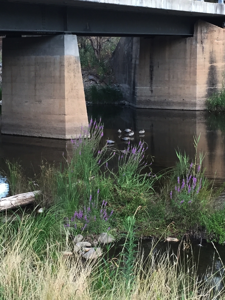
Bridge over Cotter River. Loved the sleeping ducks.

Bridge over Cotter River. Loved the sleeping ducks.

Click HERE to view other photos from our first week of coddiwompling.