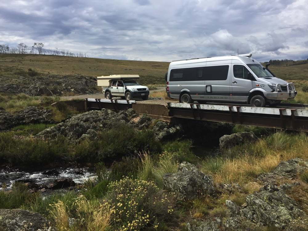
Tuesday 21st to Saturday 25th February
Tuesday 21st
Today we will go to Mt Buffalo, but not too early, allowing the icy roads to warm up a bit. Grocery shopping, brunch at the Ginger Bakery and a visit to the Bright Berry Farm ensured the sun got a chance to do its thing on the mountain.
Mt Buffalo is a pretty amazing granite plateau that’s been weathered to reveal huge boulders balancing precariously near cliff edges while in the centre it’s flat-ish, and has lakes and rivers. The Minjambuta aboriginal people would come up here during summer for ceremonies and to eat the Bogong moths, an apparently rich source of nutrients.
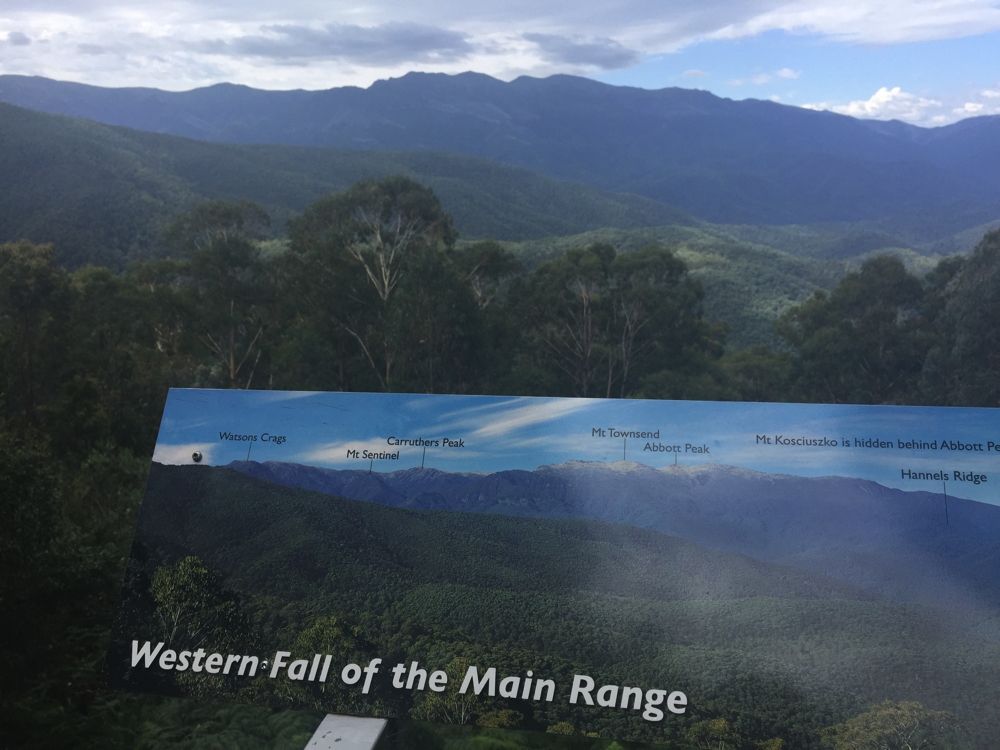
First stop was The Gorge. Clear blue skies afforded us wonderful views down the mountainside across the plain to the Alps. Also an adventurer’s playground with lots of cyclists flying down the mountain, a hang gliding launch off the cliff, abseiling and rock climbing being popular and while admiring the view we enjoyed the graceful beauty of a glider exploring the skies around the mountain.
The Gorge, and the hang gliding launch point. Buffalo
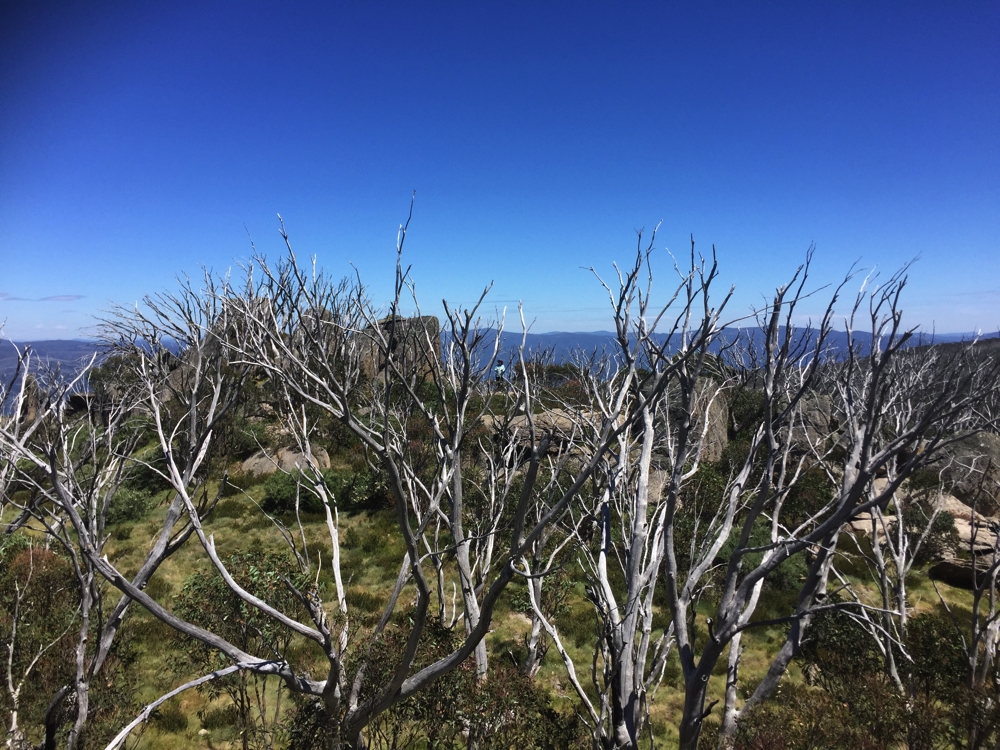
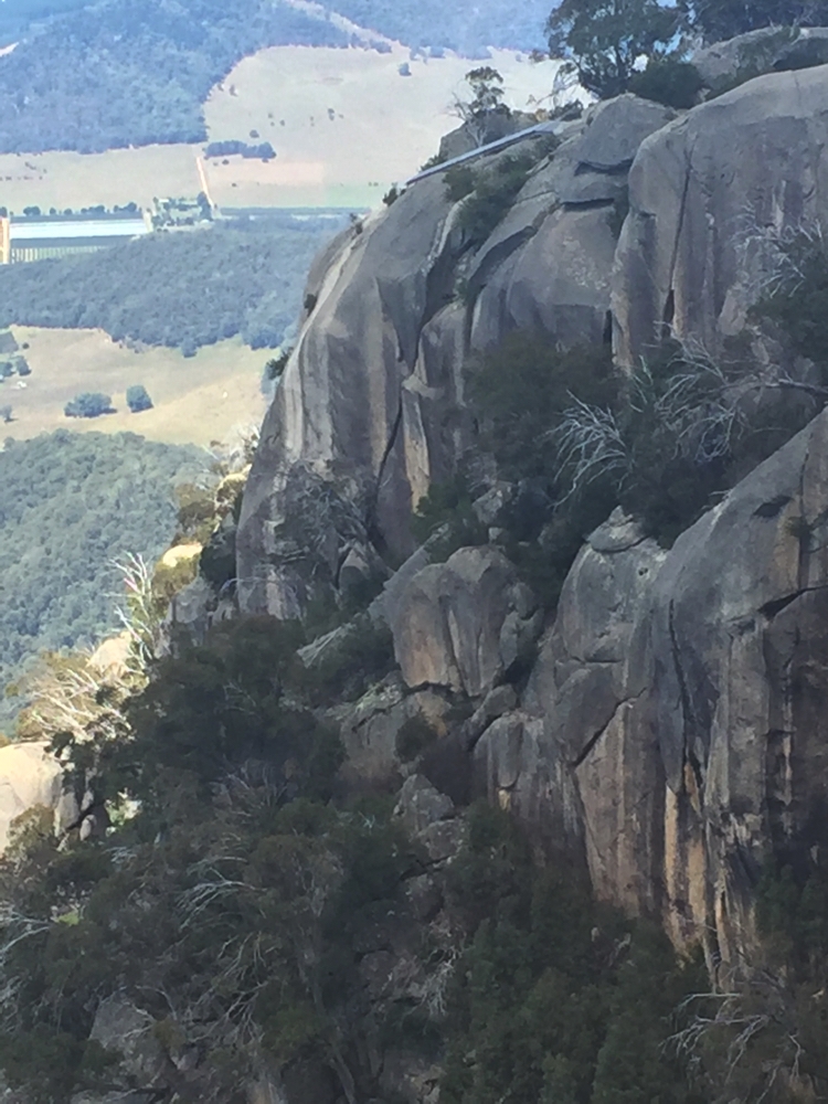
Mt Buffalo was named by an early explorer because apparently it looked like one. Our next stop, just beyond ‘ the Hump’ was ‘ the Horn’. A very steep, winding road led to within a kilometre or so of the top of the Horn. A steep path, with many granite steps took us the remaining 1.5km to the top. Like all horns it’s not very big at the tip, but the Parks people have fenced around it to make it safe for visitors. Once again beautiful views in every direction.
The Horn at Buffalo. If you look very closely you’ll see a guard rail around the edge at the very peak. Fantastic views from up there.
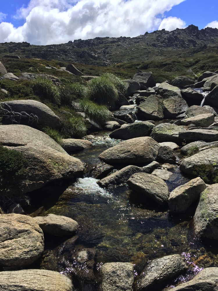
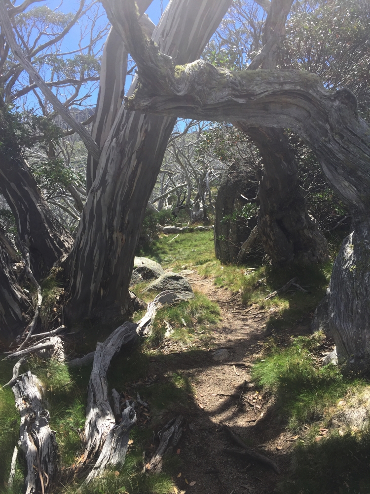
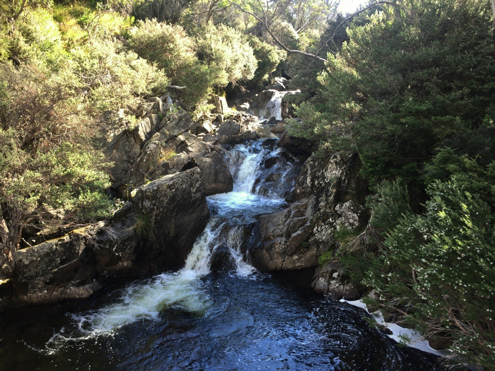
On the way back we did a 4km walk across the central plain to Dickson’s Falls, crossing several little streams, peat moss bogs and past Information signs describing the subalpine plants and how the wildlife survives in winter. Very interesting.
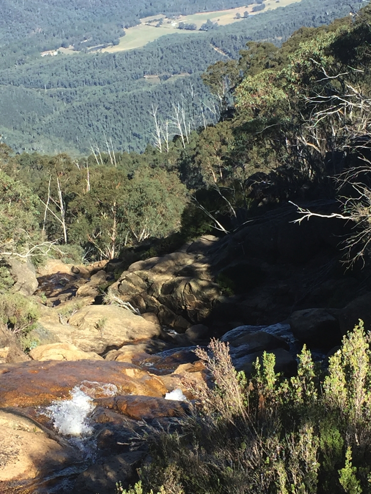
Dickson’s Falls, at Buffalo NP.
Our campsite at Lake Catani (sites 32 and 33) is heavily treed, and fortunately away from a few large groups of campers. Once more a campfire cooked our meal and kept us warm until we ran out of wood (leftover from last camper). A chilly night tonight.
Camp fees up here are quite expensive at $48 per night.
Wednesday 22nd
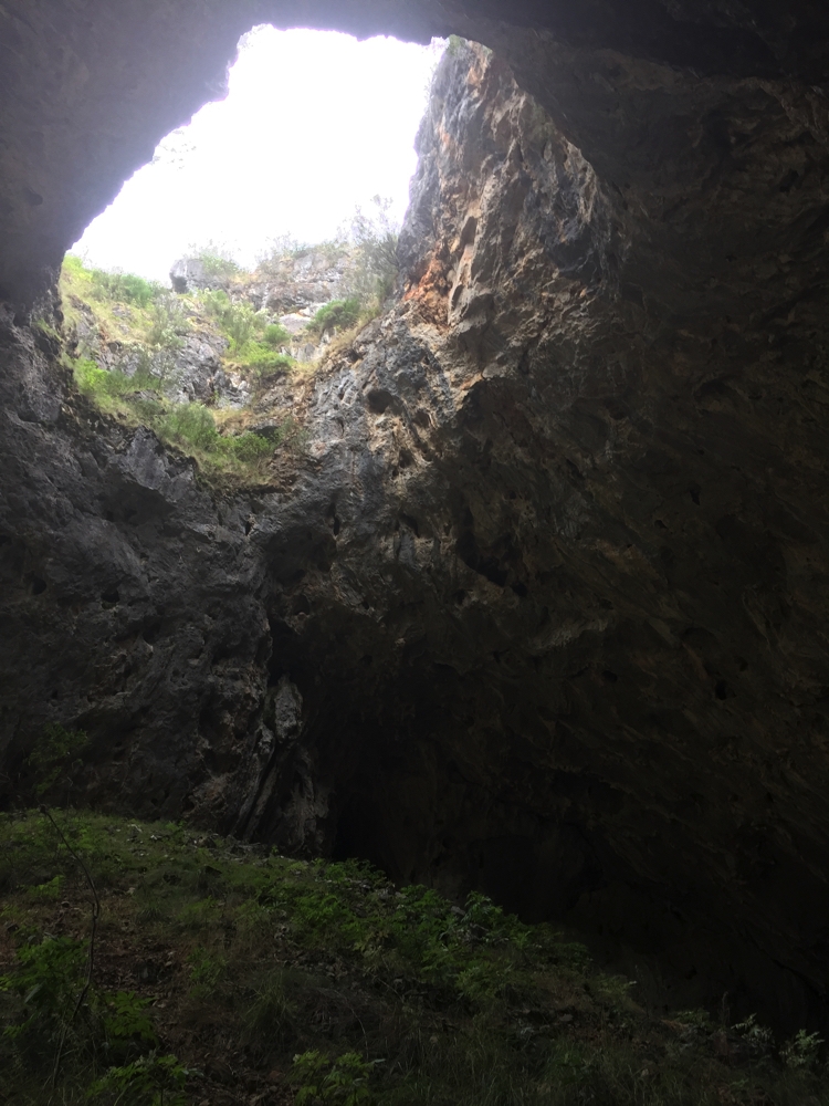
A very slow start today – too cold to get out of bed. When we finally did we walked the Chalwell Galleries Track. Quite short, only about 2km round trip from our campsite, but … to get to the gallery you have to climb down a very narrow and very steep chasm in the rocks. It was pretty amazing and lots of fun. The view once through was pretty spectacular, but the climb was the highlight.
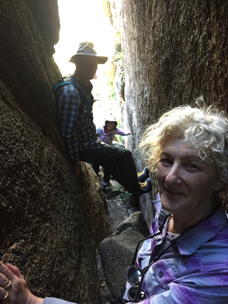
Big of rock climbing required to descend through the Chalwell Galleries.
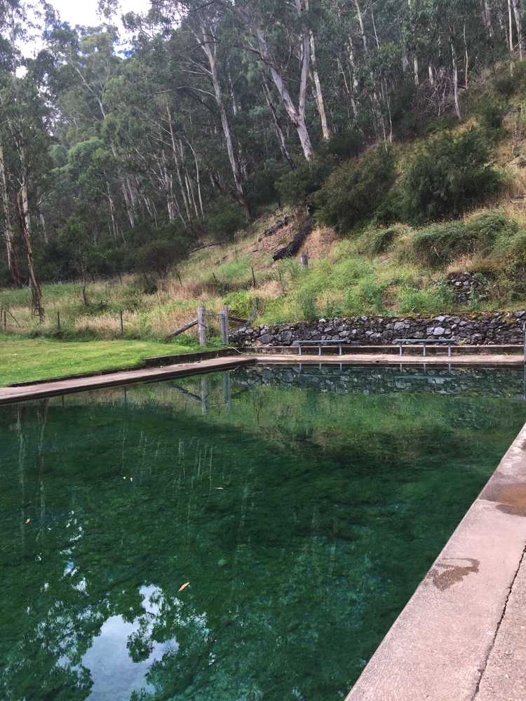
Steve put a roast and veggies into the Dreampot to cook while we later walked the Lake Catani circuit. A lovely lake; another 10 degrees warmer and I’d have loved a swim.
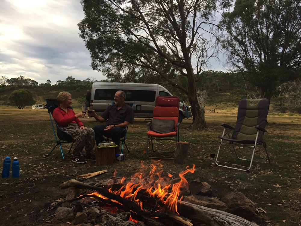
The roast was perfect and we spent the rest of the evening chatting around the campfire (bought some wood from the Ranger’s Office $15/bag). Tonight is much warmer.
Thursday 23rd
Slept very well last night, until a wombat got under the motorhome and decided to scratch his back.
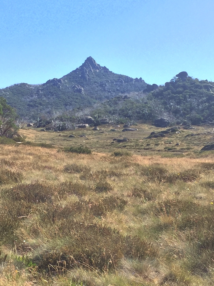
Our last day at Mt Buffalo and we still have a few more walks we’d like to do. The Ranger told us the coffee van would be at The Gorge today so that was our first destination, then up the Monolith. We all loved the views from the Monolith. We walked back to the campsite via the Underground River track. It should really be called an ‘under-rock’ River as huge granite boulders fell and covered it, rather than it forming underground. This is apparently popular with cavers. A very steep descent to the river was rewarded with beautiful cooling breezes coming from the river tunnels. The hot, steep ascent the other side undid that feeling quickly. We walked for around 4hours today, most of it either going up or down. The walks here have all been very enjoyable.
Back at camp for a rest before another campfire and BBQ tea – Cracklin’ Chicken cooked in duck fat for us.
For more photos from Mt Buffalo CLICK HERE
Friday 24th
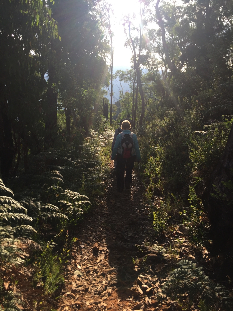
We farewelled Mt Buffalo this morning. Great walking – not long walks but very enjoyable. Back to Bright for a bit of grocery shopping, lunch at the Ginger Bakery and a bit of decent internet.
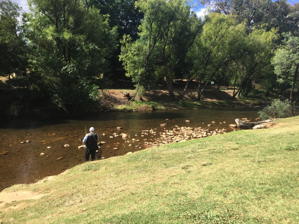
After lunch we headed to Harrietville, not far away, in preparation for our walk to Mt Feathertop tomorrow. We camped at the caravan park ($36/night powered). The park is grassy with large shade trees and runs right alongside the Ovens River; here the river is not much more than ankle deep, but flows quite swiftly. Beautiful campsite.
Early night in preparation for tomorrow.
Saturday 25th
Wow! What a day! We walked the Razorback Track (1600 metres altitude), to the summit of Mt Feathertop (1922m), then back to Harrietville via the Bungalow Spur track. A total of 24 km.
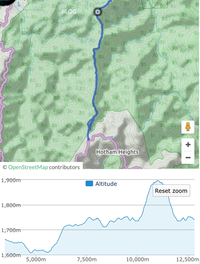
Map and profile of our walk up to Feathertop. Note, there’s still 10.5km of descent to do after that.
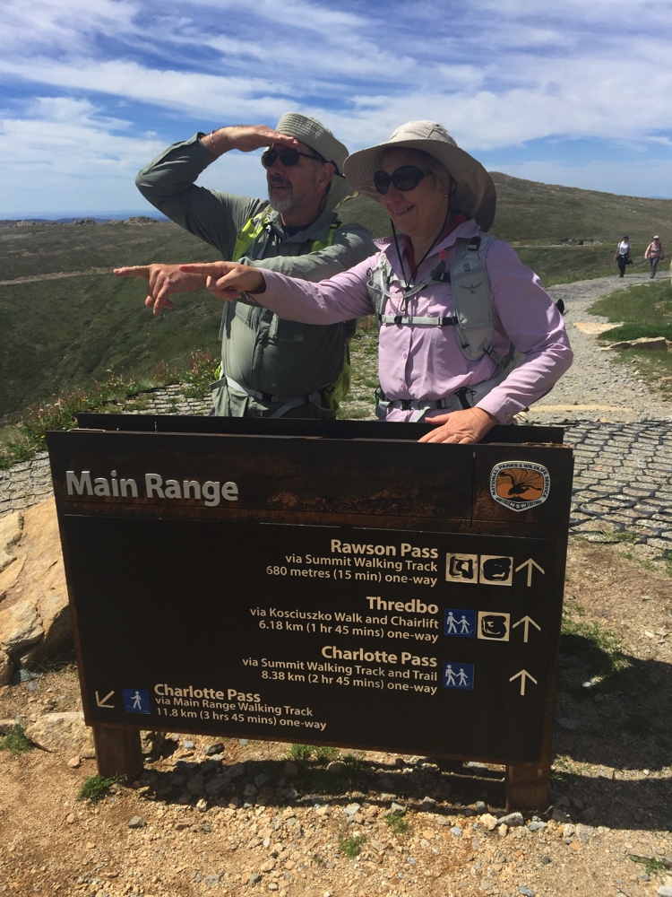
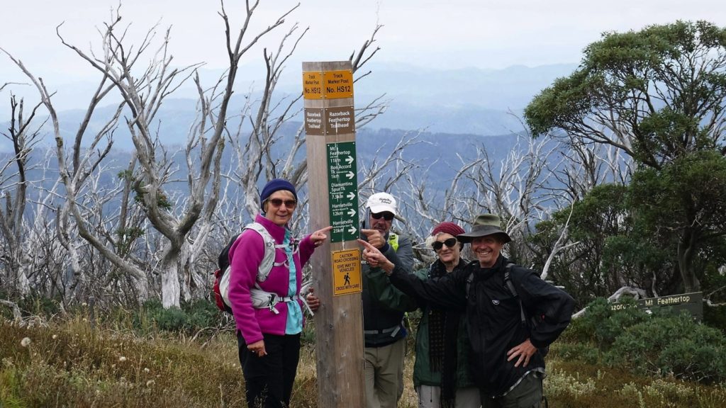
It started with us all piling in to Ric and Gill’s camper to drive the 28km to the Razorback Trailhead. The Alpine Way is very steep with lots of hairpin bends – a tough drive that took about 45 mins. The forecast was a temperature range of 4 – 12C, slight chance of rain. We were geared up with thermals, beanies, scarves, gloves and rain jackets.
THAT’S where we’re going – plus another 3km to the top of Feathertop and back down again.
Fortunately the day turned out to be quite pleasant, mostly overcast but no rain. It didn’t take long before we started stripping off the thermals.
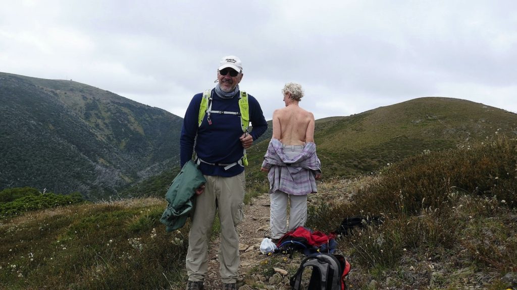
And the layers came off … Steve’s complaint, “How come this can go on the internet for the world to see, but I wasn’t allowed to turn around.” (Photo R.Jay)
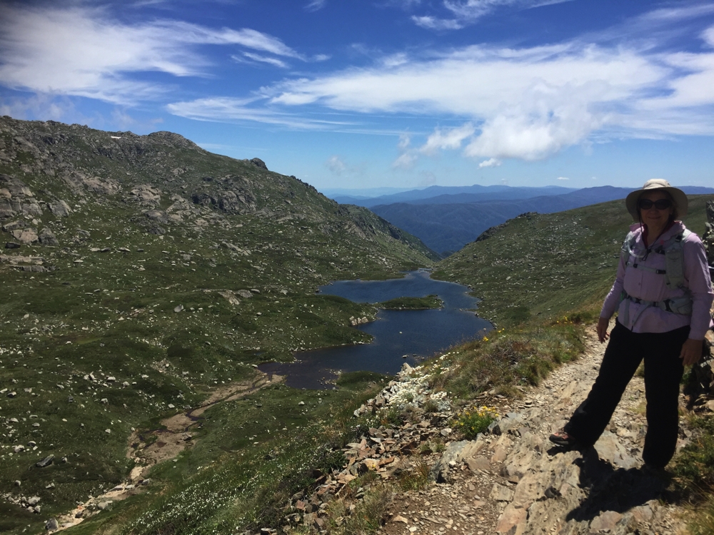
This walk is described as one of the best Alpine walks in Australia. As the name suggests it follows a narrow ridge with steep slopes on both sides. Being mostly above the tree-line the views in every direction are breathtaking. As we got higher there were more and more wildflowers, including an entire slope covered in white paper daisies. There was a fair bit of up and down, with some sections of the track being difficult to walk on.
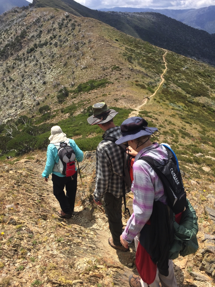
Tricky walking on parts of the path.
After 10+km we reached ’The Cross’ where the Bungalow Spur Track joins in. The summit of Mt Feathertop is another 1.5km further on, up a very steep, difficult path, the first section loose shale.
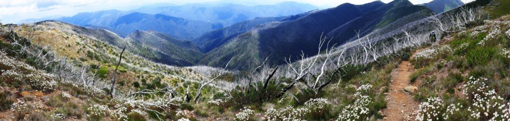
This is one of the most iconic walks in Australia. Razorback. (Photo R.J)
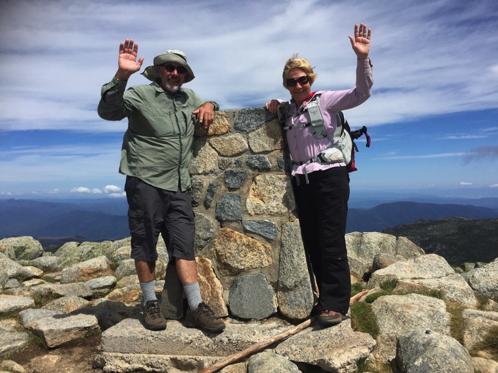
Just short of the summit a whoosh just above my head frightened the daylights out of me – it was a very low-flying glider (Ok it was a bit over 1922 metres up, but not much!). We made it to the top and it really was well-worth that huge effort. The glider continued to circle around us for a while before we headed back.
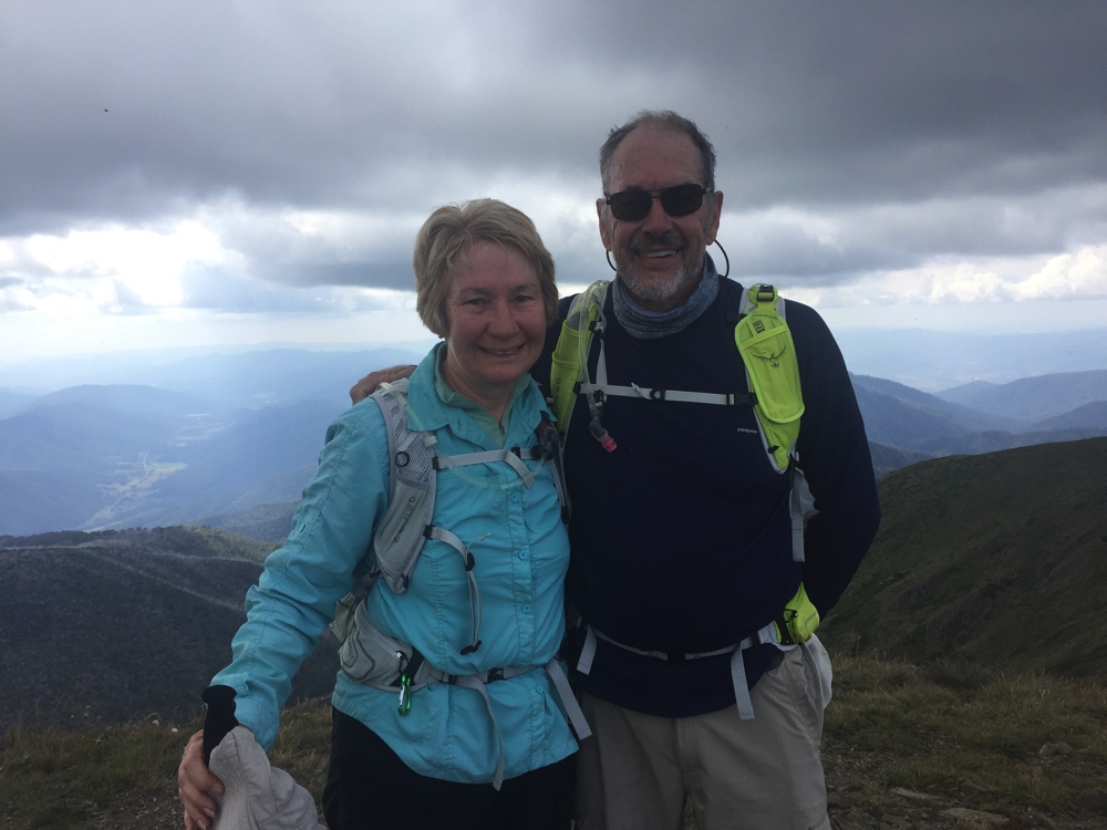
Steve and I at the top of Mt Feathertop.
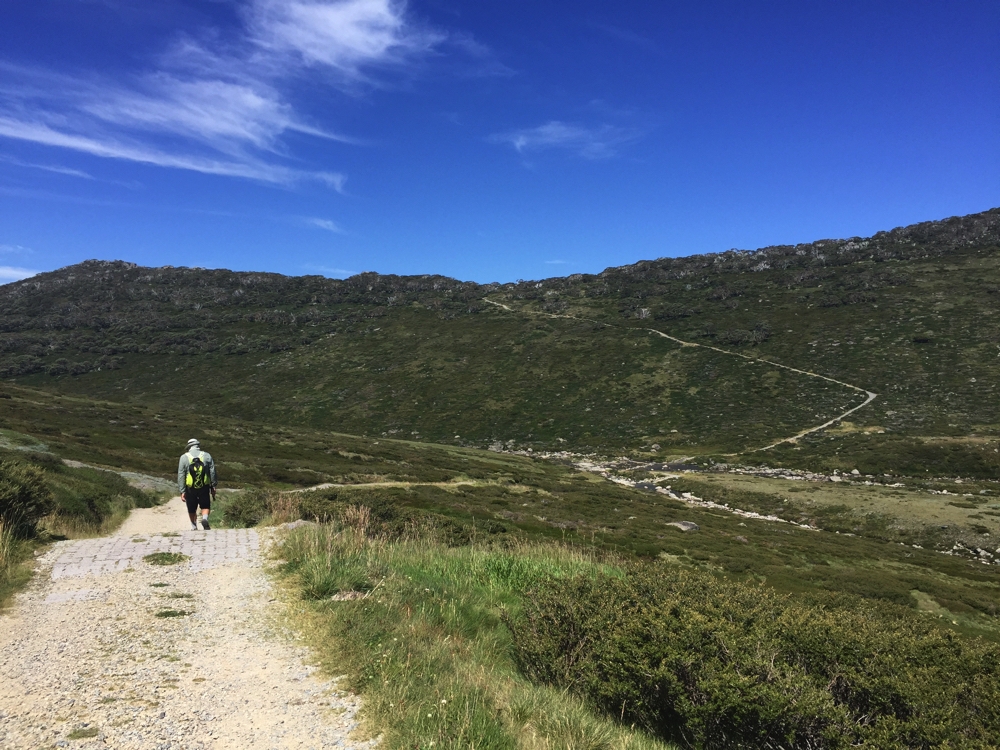
The return via the Bungalow Spur was a real trial. Basically it was 12km of descent, the first third of it on a shale-y, rocky path, the remainder of the path pretty good, but the constant down was very painful on my knees. Gill suffered too and our return was a lot slower than we’d planned. We finally got to the bottom at 7.45pm, just before dark.
Heading down Bungalow Spur.
We walked for 9 1/4 hours. Steve and Ric had it even tougher. They had to walk a further 2+km to the caravan park to pick up Priscilla, very kindly drove back and picked Gill and I up, then they drove back up to where we’d left Ric’s camper at the Trailhead and back again. Hero-status for them!
In the meantime, back at the caravan park with no camper or motorhome, Gill and I took off our trousers and sat in the freezing waters of the Ovens River for just as long as we could bear it. It sure felt good on our aching legs.
A big effort today, but well worth it for the magnificent walk – the Razorback/Mt Feathertop bit anyway.
For more photos from Razorback and Mt Feathertop CLICK HERE