8th-12th May
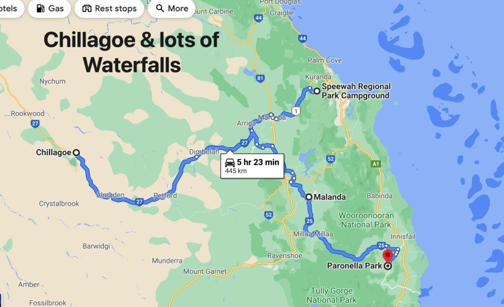
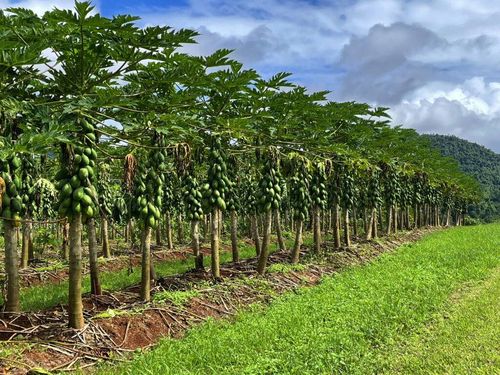
Originally we’d planned to visit Chillagoe when we left Karumba via the Burketown Development road but it was closed due to flooding, hence the zigzagging across the Tablelands. Surprisingly, as we left the Tableland, we passed through rich agricultural lands with avocado, mango, banana, citrus, grapes and sugarcane, and other crops we didn’t recognise, stretching for many kilometres. Before long though we were back in cattle country.
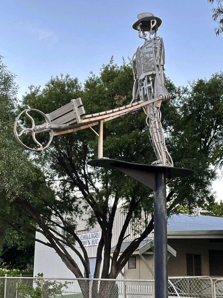
Chillagoe has a population of a bit more than 200. It struck us as a tough little town, its residents having weathered many ups and downs as most mining towns have. Over the years huge deposits of silver, lead, zinc, gold, limestone and marble have been mined here. The lime stone and marble mines are still working, with a few small silver, lead and zinc operations continuing. Chillagoe lime has the sugarcane industry more or less cornered but unfortunately, while beautiful marble is mined here, most of it is sent overseas for treatment. Most of the marble in Parliament House came from Chillagoe.
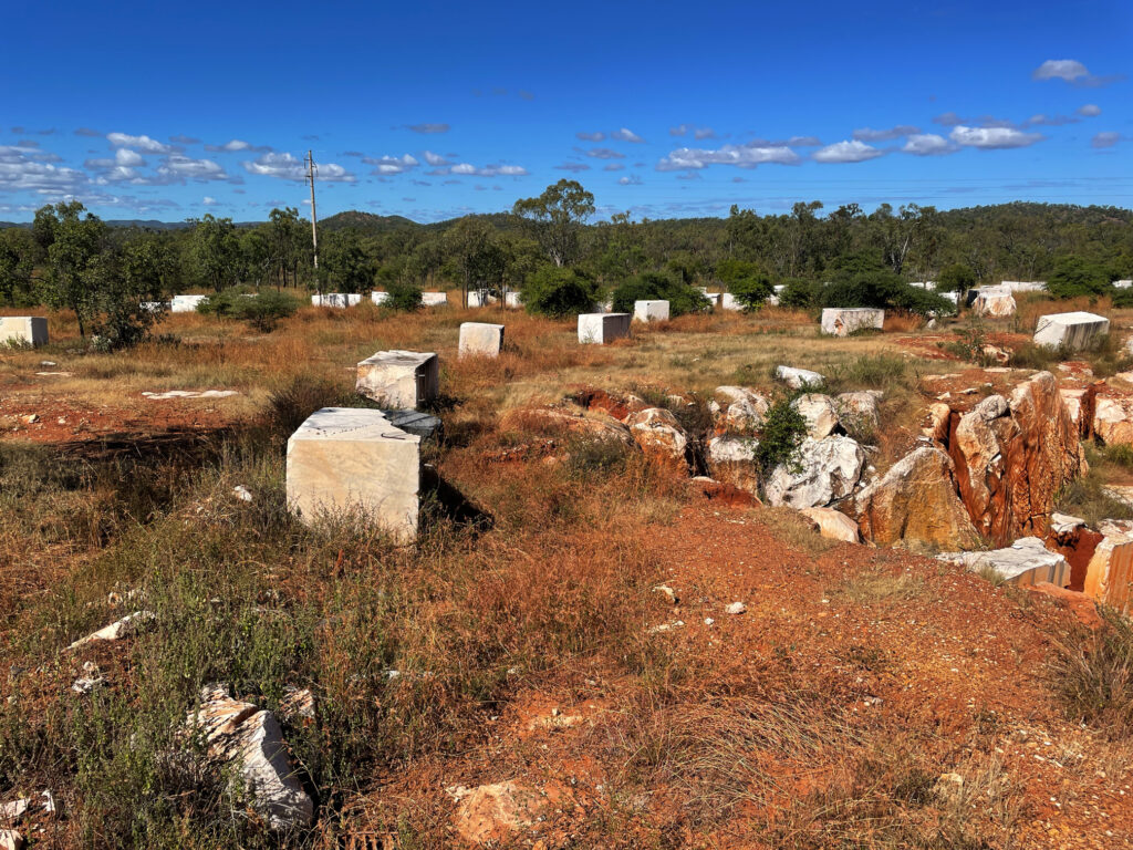
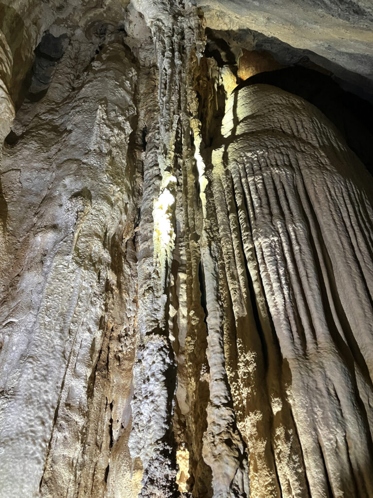
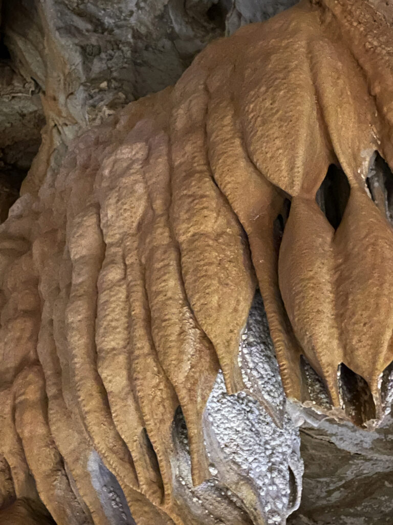
But we’re here for the caves. Back around 400 million years ago the limestone laid down under shallow oceans was lifted, towering above the surrounding countryside where weathering and erosion and fluctuating groundwater levels slowly dissolved some of the limestone, creating caverns and passages, now rich with stalactites, stalagmites and flowstones. We visited three caves today with the ranger – Donna, Trezkinn and Royal Arch. All were outstanding, as was the infrastructure allowing us to view them without causing damage.
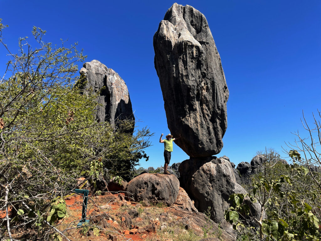
Between cave tours we walked out to the Balancing Rock. I’ve seen many Balancing Rocks, but this is a pretty good one, and the bush walk, after yesterday’s marathon effort, was good to keep the muscles moving.
Dinner at the Cockatoo Pub tonight, behind which we’re camped for 2 nights.
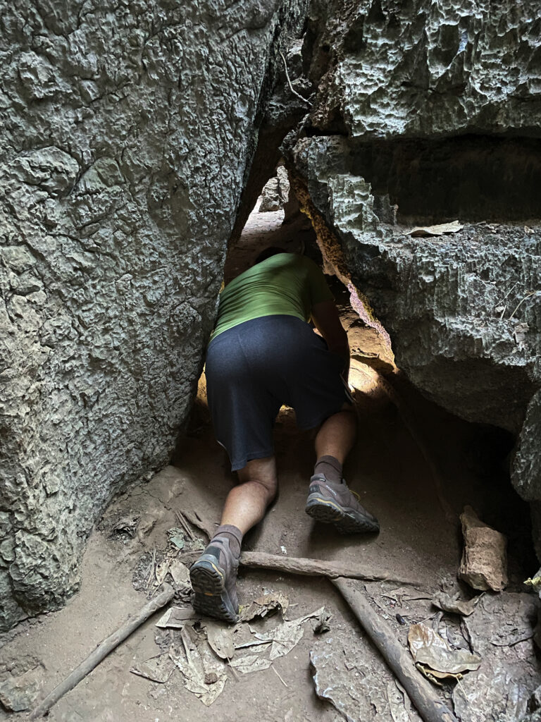
Before leaving Chillagoe this morning we drove out to the Archway caves, which are self-guided.
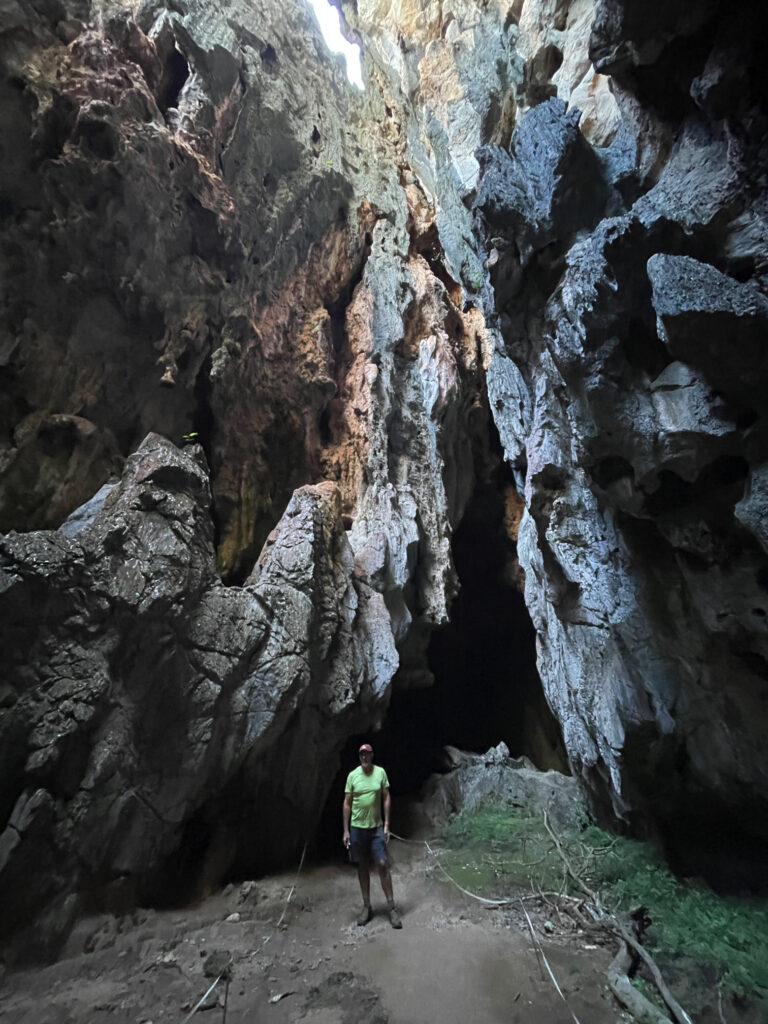
Other than the extraordinary, gothic-like appearance of the limestone karsts in which the caves form, we weren’t impressed with this section, nor game enough to go crawling into little spaces by ourselves with just a head torch.
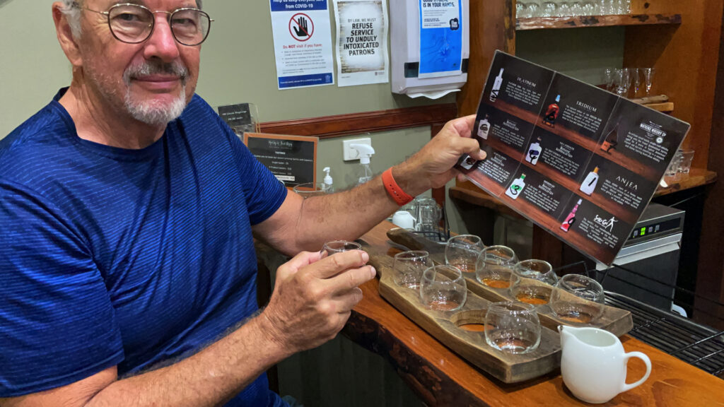
Back through the savanna and the rich agricultural farms and orchards to the Tableland. On the way we dropped in to the Mount Uncle Distillery. A tasting board of spirits was set before us – a pleasant time was spent tasting them all, buying a couple of bottles, and then wandering their beautiful grounds, lush with tropical plants and vegetable gardens and lots of peacocks!
By the time we’d done that and made ourselves a cuppa we were sober enough to continue our journey to Malanda where we booked in to the caravan park. The Malanda Falls are beside the CP, but we weren’t that impressed, looking more like a weir than anything. A quiet night, other than for the curlews which seem to be at every campsite!
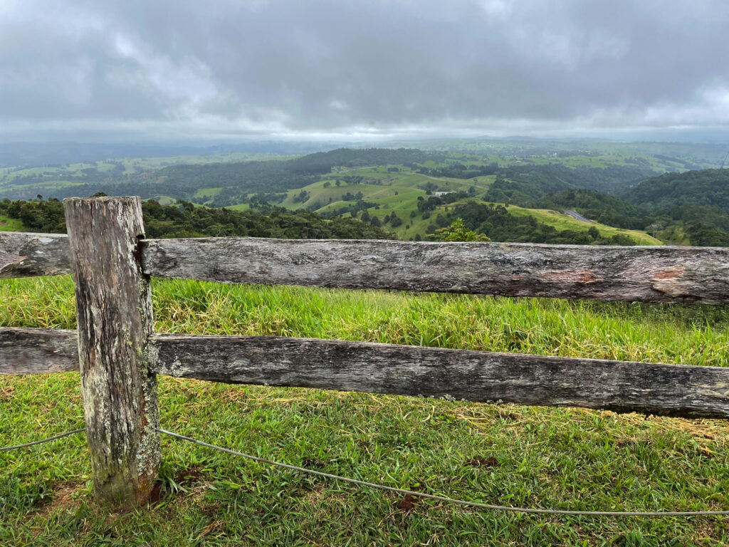
Still chasing waterfalls today we’re following the Waterfall Way to the southern Tablelands. First stop was Millaa Millaa Lookout, which promised amazing views out to Mt Bartle Frere and Bellenden Ker. However, this section is known as the “misty mountains’, hence no mountains seen, but the rolling countryside and magnificent valleys filled with rainforest was absolutely beautiful.
Next stop, Millaa Millaa Falls, the most-photographed falls in Australia. They are “perfect” falls, coming out of thick rainforest in one reasonably wide band of water and falling to a large pool below. Despite the cooler weather I had a swim here, swimming over to and behind the falls. A wonderful experience.
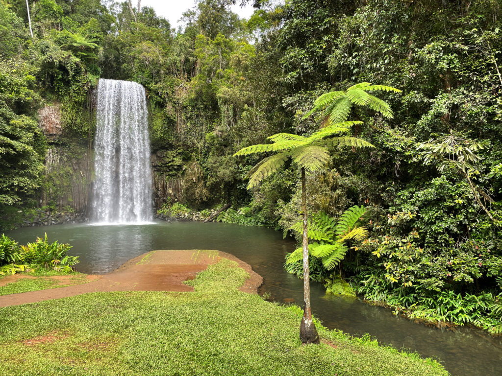
Next stop, Zillie Falls then on to Elinjaa Falls where there’s a steep path of about 500m to get to the base. It’s possible to swim here too.
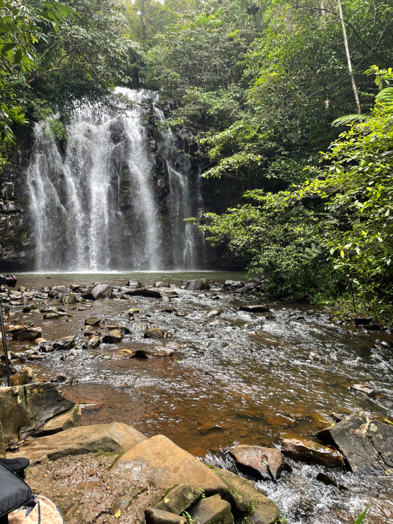
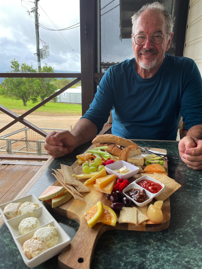
By now it was lunchtime and the cafe at the biodynamic dairy at Mungalli was calling to us. A very filling cheese platter, followed by the best ice cream I’ve ever had (Espresso flavour) replenished our energy levels. The countryside is so pretty – hills, gullies, rainforest and the lushest grass you can imagine. It’s no wonder the dairy cows give such beautiful milk.
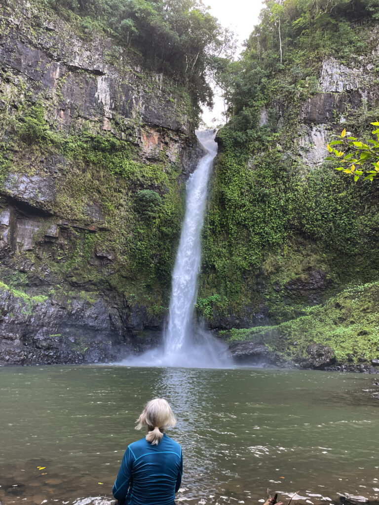
Continuing our meandering drive through the tiny town of Mungalli, which also has a waterfall, though more like steep rapids, we descended and descended until reaching Henrietta Campsite in Wooroonooran National Park. We’ve stayed at lots of National Parks over the years – they’re a credit to our country. This one has a large open area to kick a ball, an electric BBQ, covered tables, toilets and a shower (cold). The campsites are all nestled into the rainforest all around and beside Henrietta Creek. Most have bush walks or other activities. Here we decide to do the walk to Nandroya Falls, a return walk of about 7km. A couple of rock-hopping water crossings and a narrow path ascending and descending alongside the river gave us a bit of a workout. First we came to Silver Falls and finally Nandroya. These are a favourite of Steve’s as they fall spectacularly from a narrow gap in the sheer cliff face to the pool below, then from that they tumble down again over a wide cliff to the next level.

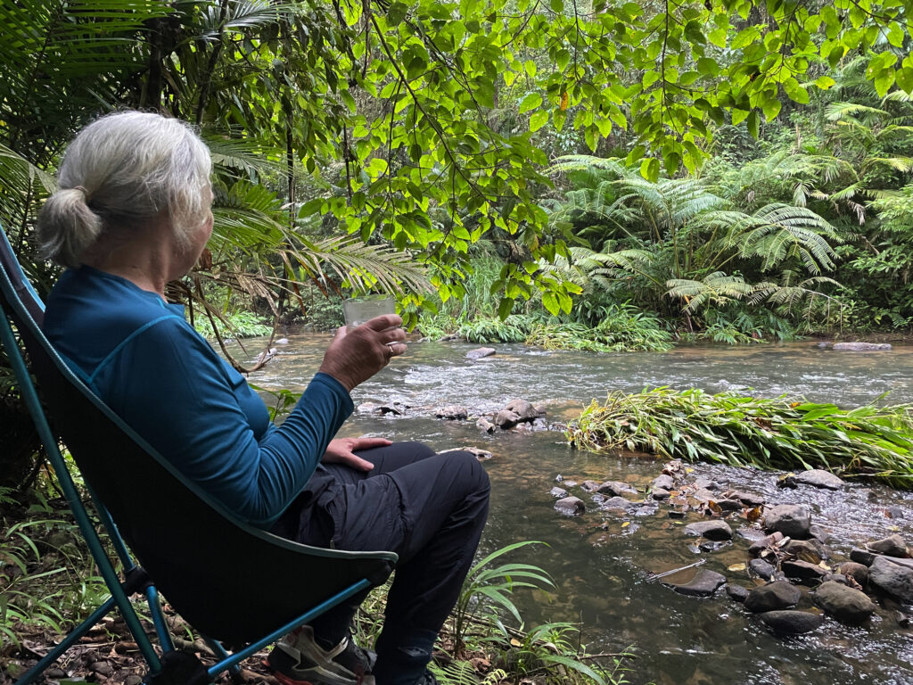
Back at camp we took our chairs down the steep little path to sit by the river contemplating life, the universe and everything, and hoping to spot a platypus. Alas no platypus, but we did get up close and personal with a few too many leeches! A quiet night anticipated with just us and one caravan.
