
Monday 19th Feb:
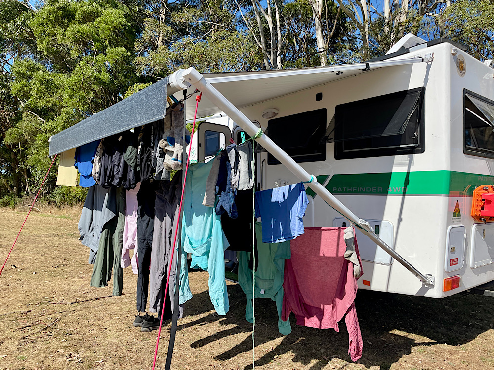
Today is a day for washing and resting.
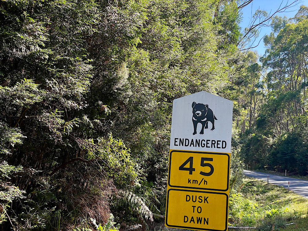
Smithton and Woolnorth (visited March 22 and 23 – included here to complete the west coast)
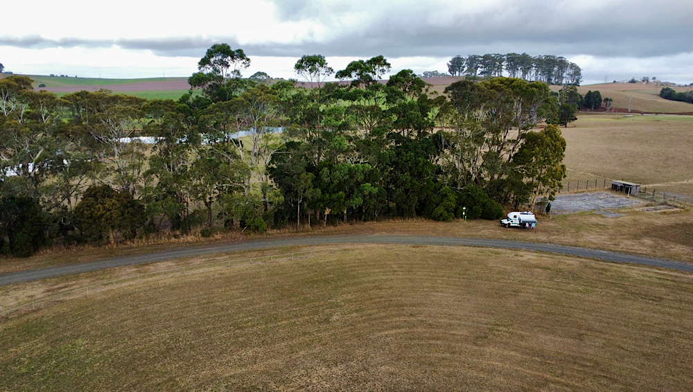
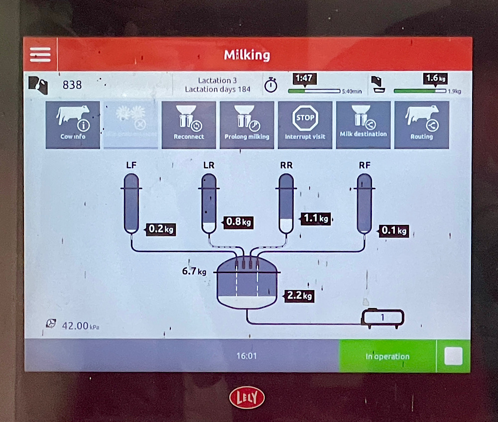
The staff at Smithton Visitor Centre were excellent, as were the displays describing Indigenous life before colonisation and the early colonial days. From here we were able to book onto the Duck River Dairy tour to learn about their robotic dairy facility. What a transformation dairying is since I was a child in the country. I was fascinated to watch and learn about the stress-free cow autonomy and lack of human involvement that robotic dairies provide. Cows have such fun personalities when given the freedom. A wonderful innovation.
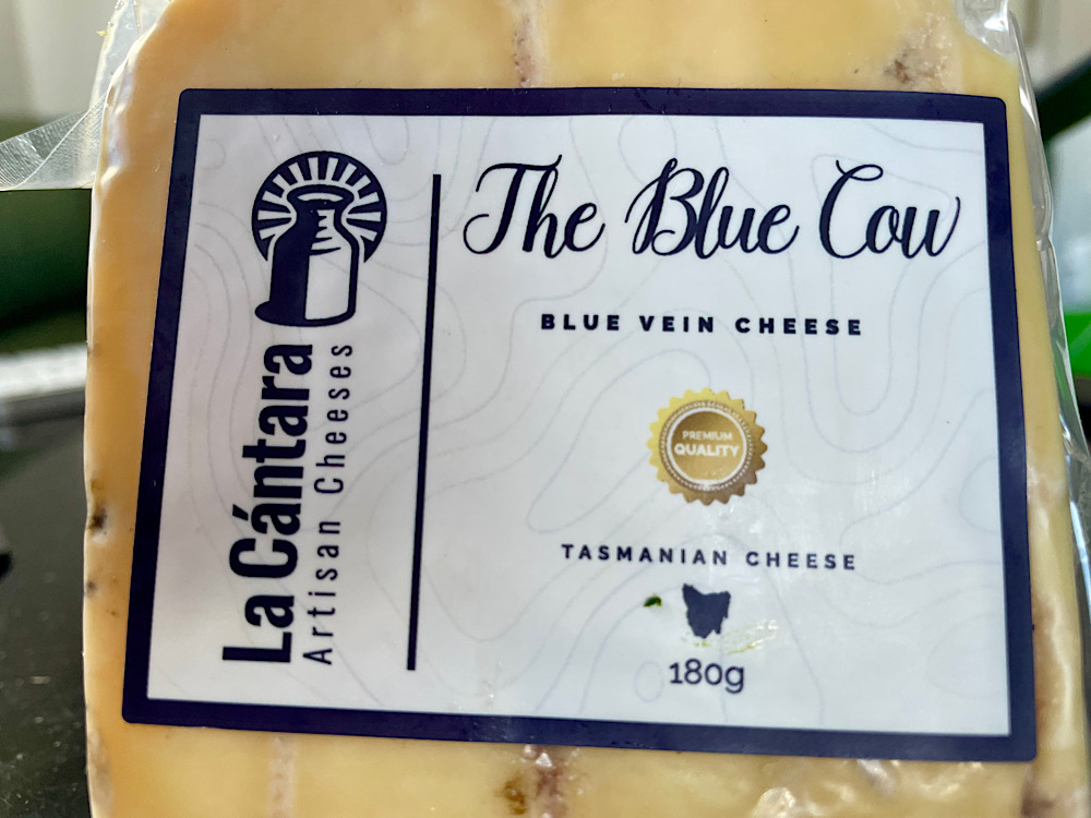
The farmer/owner is also a cheese maker, and the vet. We watched him at work checking and turning his latest cheeses made only from the milk of his own cows. He sells them under the brand La Cantara and I swear you can taste that the milk comes from happy cows. My favourite cheese of all time is his hard blue.
Over the road is an excellent free camp and a nearby Bistro Grill – dinner out tonight.
Next day we were booked on a tour of Woolnorth.
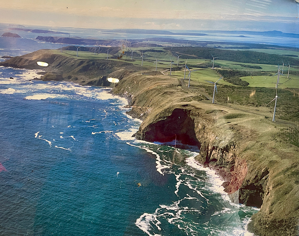
Woolnorth is a 41,000 hectare property in the far north west of Tasmania. Originally a grant given to the Van Diemen Land Company and used for sheep it was sold to a Chinese company that was running the largest dairy farm in Australia. Parcels of land have since been sold with only 700 hectares dedicated to dairy cattle and another 6000 hectares to beef cattle.
On the property are two large wind farms with 62 turbines harnessing the winds of the roaring forties. The carbon fibre blades have copper points and wire to draw lightning strike away from the control box. The integrity of each of the blades is assessed by drones with infrared sensors. Cool, hey!
A concern has been the risk to birds, particularly the raptors, from the wind turbines. Here they have two initiatives to address this – firstly exclude their food source from the immediate area, ie the pademelons, and secondly the turbine/s the eagle is close to automatically stop when a bird is nearby.
At Kennaook/Cape Grim a Premier Global Baseline station has been monitoring and studying global atmospheric composition for climate change purposes as a result of human activities and natural variability since 1976. With no land west of here until the southern tip of Argentina winds coming from the Antarctic and Indian Ocean are the cleanest on earth. This is one of only 3 such stations – another is at Mauna Loa in the Pacific and the third at Alert in the Canadian Arctic. And yes, at this point Australia does have the cleanest air in the World.
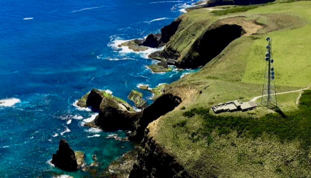
Kennaook is the original name for Cape Grim. Though it could well be, the name is unrelated to the mass murder of aborigines that occurred here in 1828 under the direction of Edward Curr, Van Diemens Land Company director. Cape Grim was named by Matthew Flinders in 1798 because, from the sea, the cape looks like the head of a prehistoric man crying.
Tuesday 20th – Thursday 22nd February:
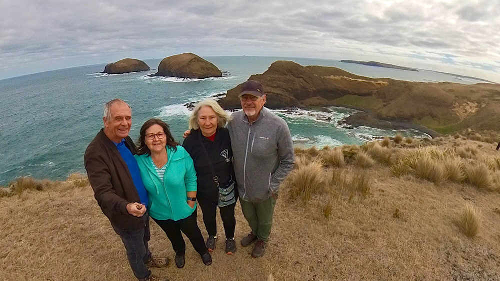
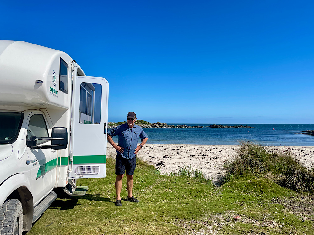
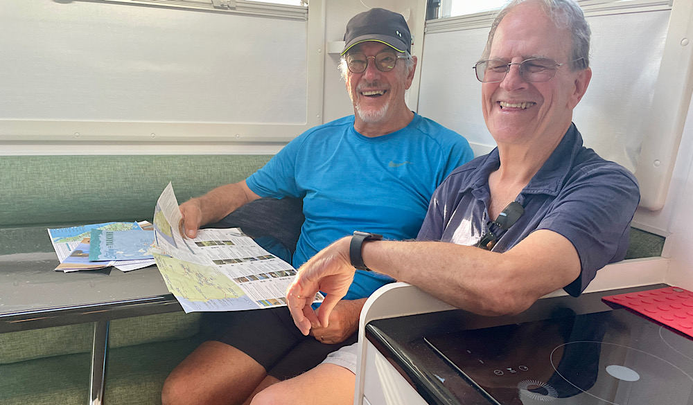
For the next 10 days we’ll be sharing our travels with Pat and Dick, friends and fellow Explorer owners. The tiny township of Marrawah on the west coast will be our campsite tonight before beginning our journey on the Tarkine Drive.
Tarkine is an indigenous word meaning belonging to, or of, the Tarkiner. The Tarkiner people lived along this rugged coastline for 40,000 years prior to colonisation. The Tarkine is the second largest temperate rainforest in the world, with over 400,000 hectares of virgin wilderness, rugged coastline, rivers and buttongrass plains. The Tarkine Drive is a loop drive through sections of the wilderness. Despite most of it being under Parks and Wildlife management the State has made a provision that any of it can be used for logging at their discretion. This doesn’t bode well considering the might of the Logging Industry.
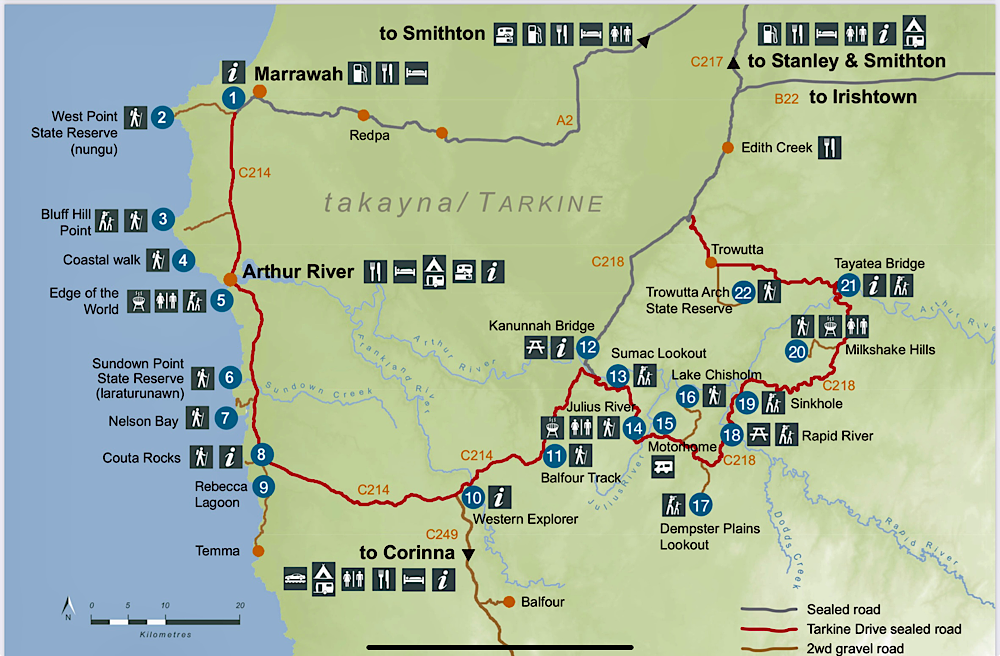
Wednesday: Today we’ll follow the Drive down the west coast.
At West Point we watched the surfers riding the waves. These waves can be enormous as the swell travels across the Indian Ocean unchecked. Today though, not so big as there was a strong easterly wind blowing.
Continuing south Mawson Bay provided a dramatic coastline to explore and have a break. The headland at the end of the bay, Bluff Point is the most westerly point of Tasmania. A lighthouse here apparently has a colony of bees living in the wall near the entrance – an effective way to keep people away.
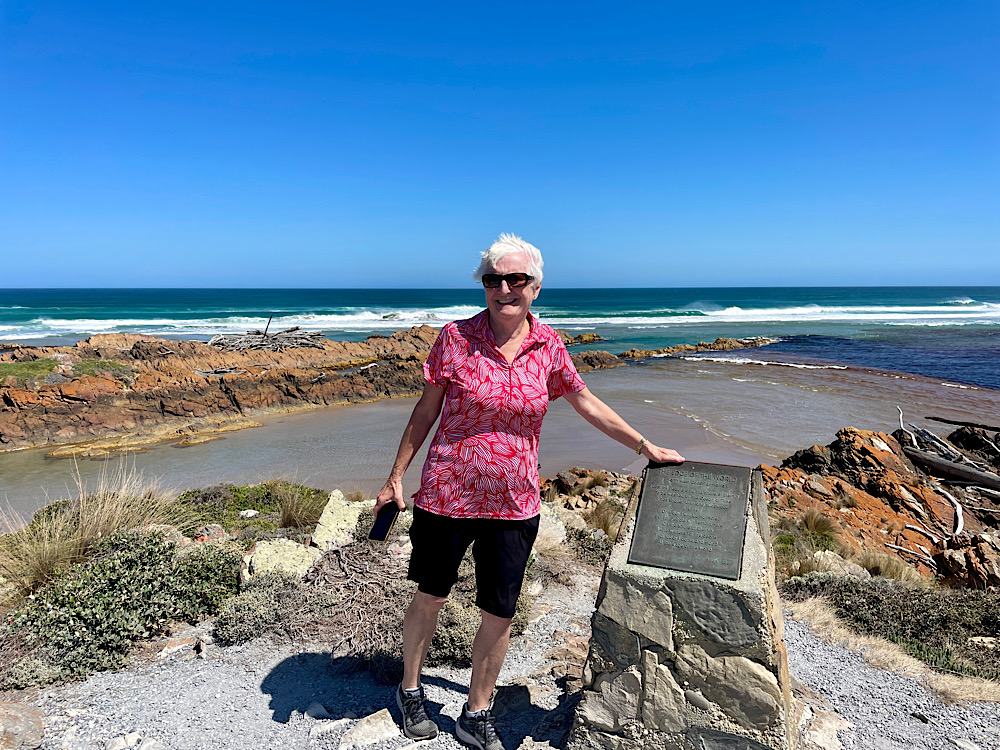
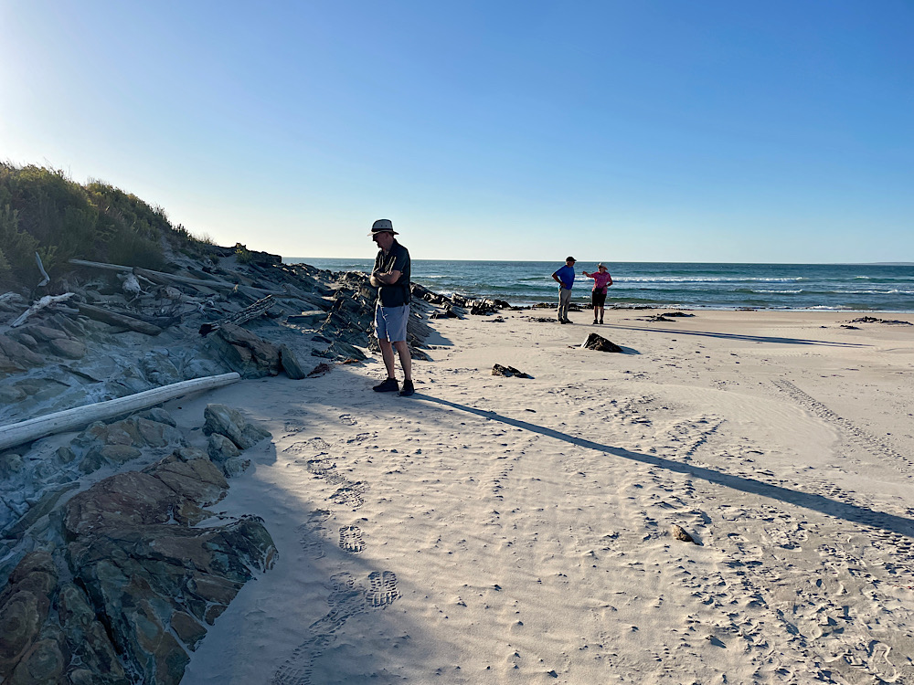
Crossing the mouth of the Arthur River at the aptly named township of Arthur River we headed to the even more intriguingly named “Edge of the World”. Huge driftwood logs and giant dried kelp is washed up along the beach.
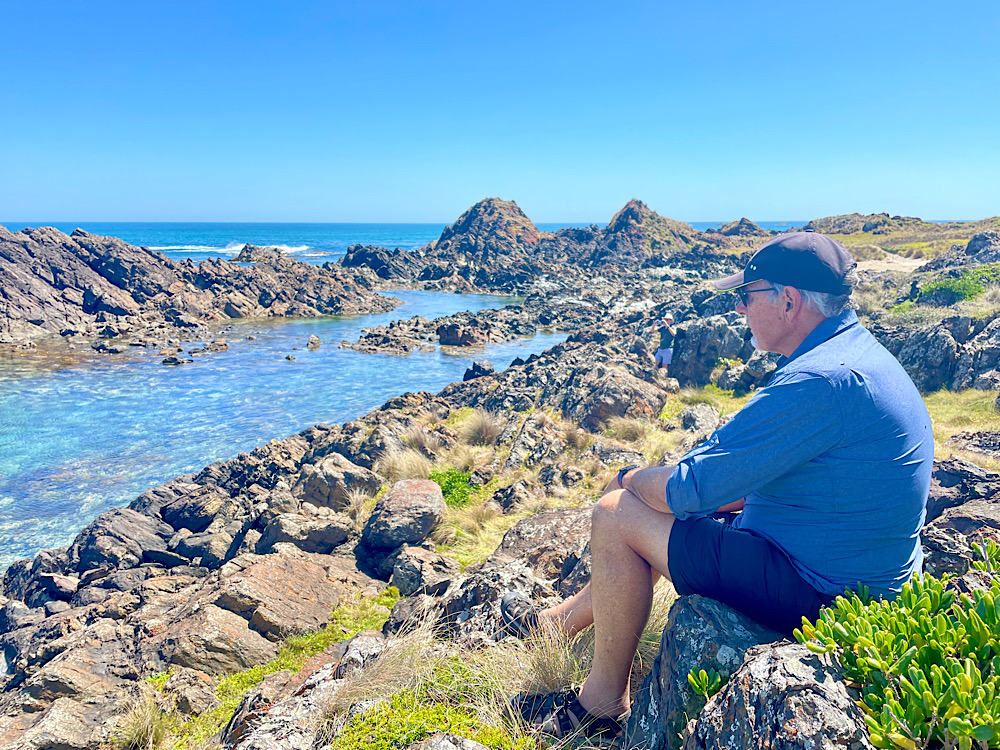
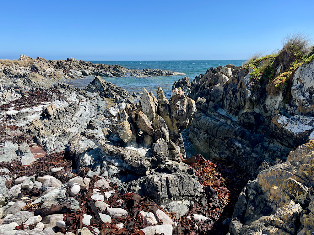
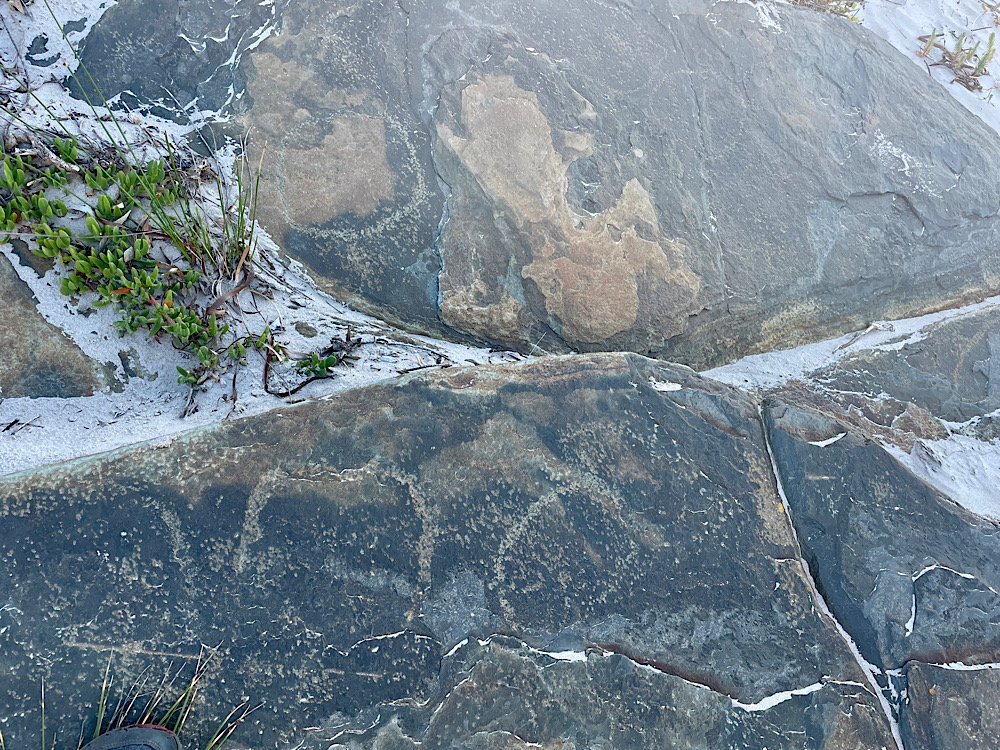
Couta Rocks proved a fun place to explore along the rocky bluffs before we backtracked to the shack community of Nelson Bay to settle in to a nice quiet grassy campsite by the beach. As the afternoon cooled down (temps have been in the high 20’s) we walked along the beach to Sundown Point State Reserve then followed a track to the mouth of Sundown Creek to find the petroglyphs. This area contains many artefacts from aboriginal days, such as shell middens, tools, depressions from huts and petroglyphs (rock carvings).
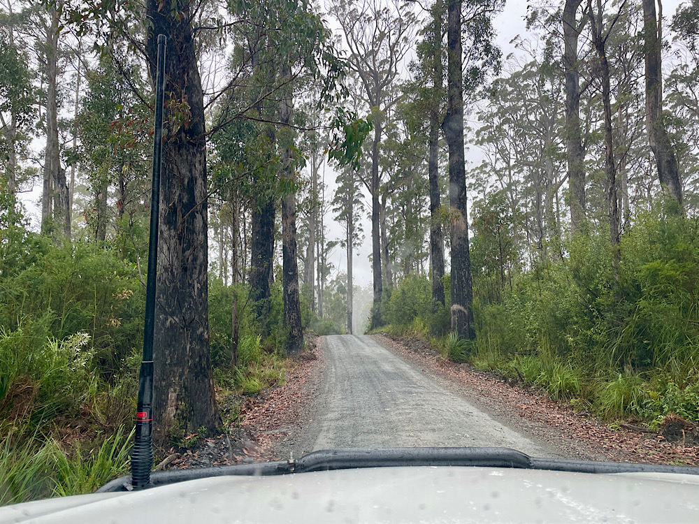
Thursday: Today we’ll venture inland to the forests of the Tarkine as we continue the tourist drive.
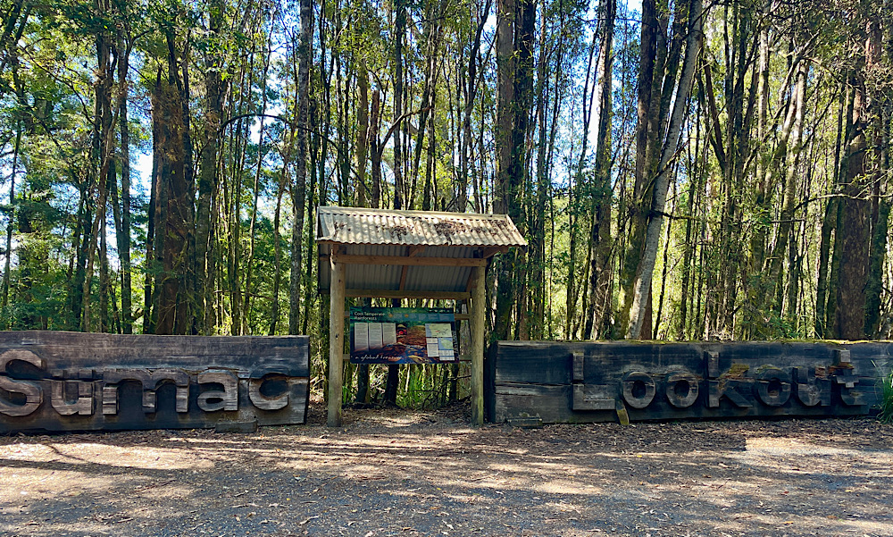
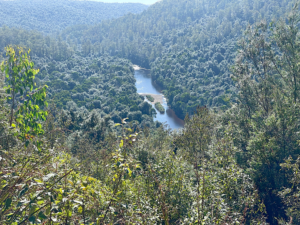
First stop Sumac Lookout which towers above the thick rainforest that borders the Arthur River.
Onward to Julius River to do the sinkhole walk through lush rainforest, coming across several sinkholes.
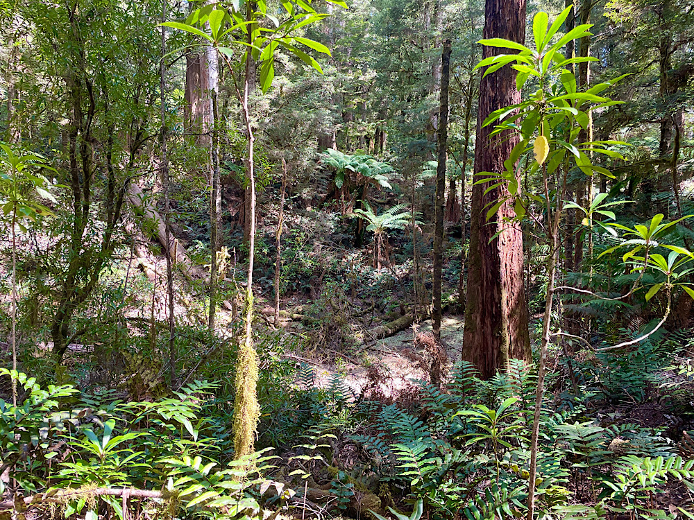
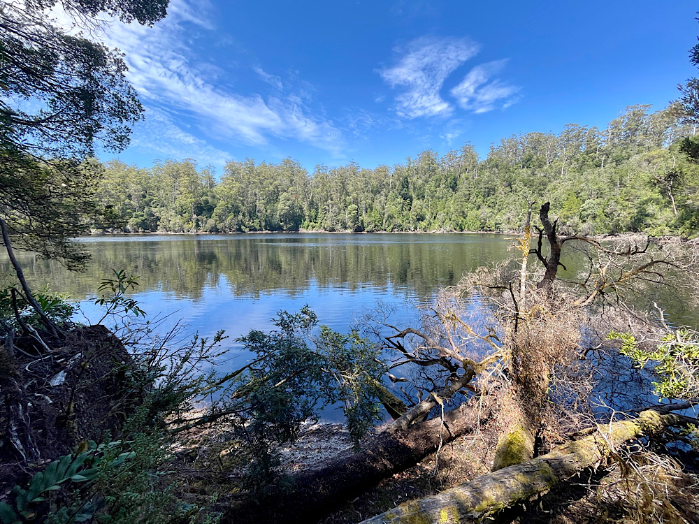
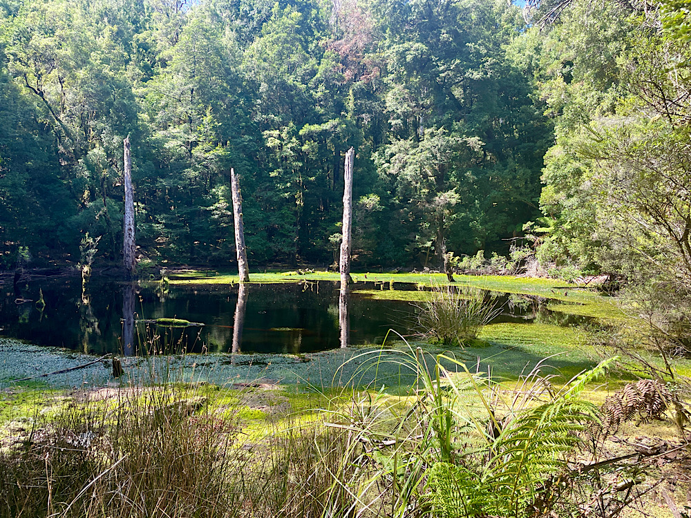
Further along the Drive a 30 minute walk through tall trees and ‘man ferns’ brought us to the large and very pretty flooded limestone sinkhole that is Lake Chisholm.
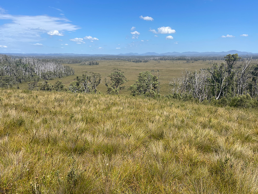
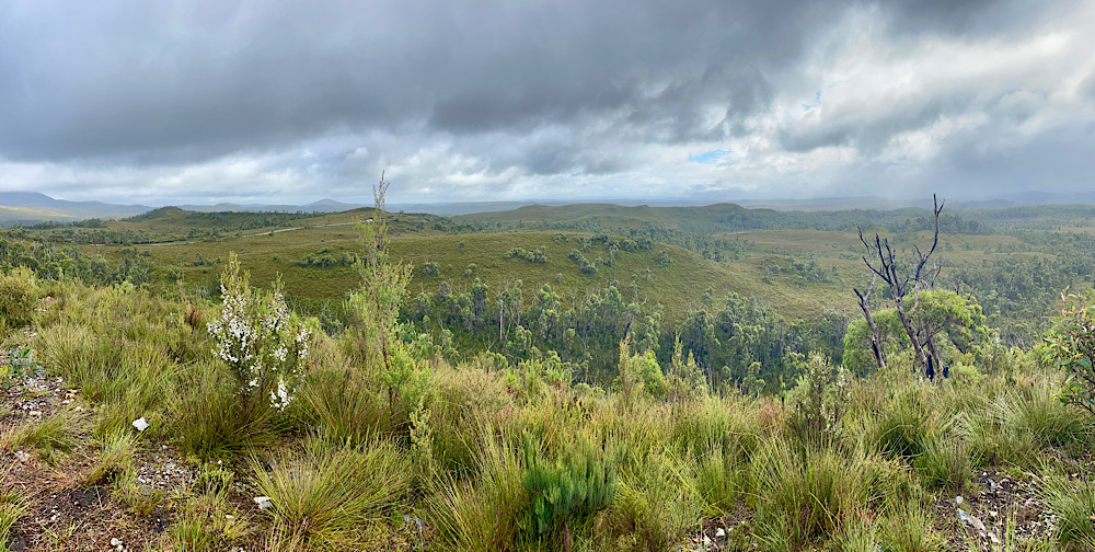
Dempster Plains provided a very different outlook with expansive views over buttongrass plains. An information board explained how for thousands of years the Tasmanian Aborigines created these plains by burning back forest. Wallaby, wombats, bandicoots, possums, lizards and emus would be flushed out by the flames where they could be easily hunted. As the button grass regrew the animals would be attracted back to the fresh flush of growth making the hunting grounds a continual and reliable food source for both people and animals. This process is called fire stick farming.
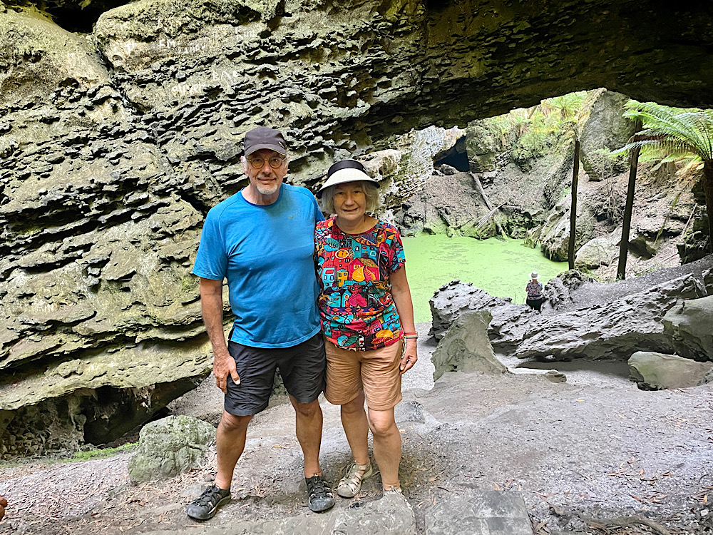
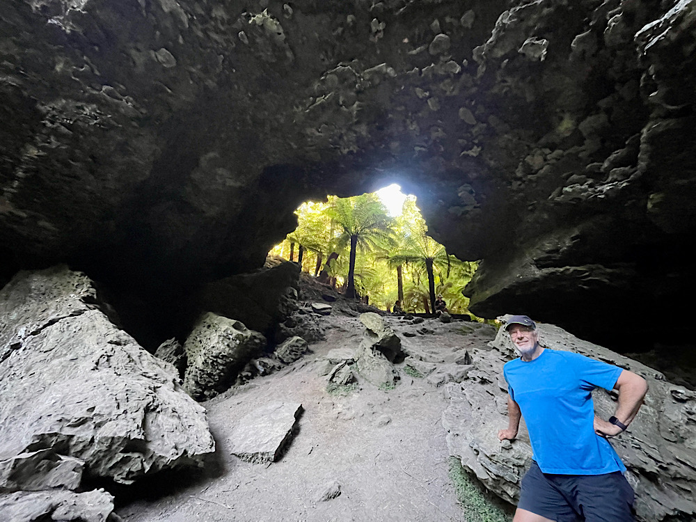
Another pretty sinkhole alongside the road was next on our tour before we reached the end of the Drive and the pièce de résistance – Trowutta Arch. A short walk brought us to the stone arch which remains after a cave collapse and the creation of two sinkholes, one on either side of it. One sinkhole is dry, the other with steep sides is 20 metres deep and water-filled. It’s a stunning and rare geological creation.
Returning to our southerly drive down the west coast we joined the unsealed Western Explorer drive and found a place to pull up for the night just north of the Lindsay River bridge. A big day today – a quiet restful night anticipated.
Friday 23rd Feb:
Our route south is variously known as the C249, the Western Explorer Road or the “road to nowhere”. This remote, 120km, unsealed, white dirt road winds it’s way through beautiful thick forests, across button grass plains, around the edges of mountains or up and over those mountains as it crosses the Tarkine Wilderness – the last known home of the Tasmanian Tiger.
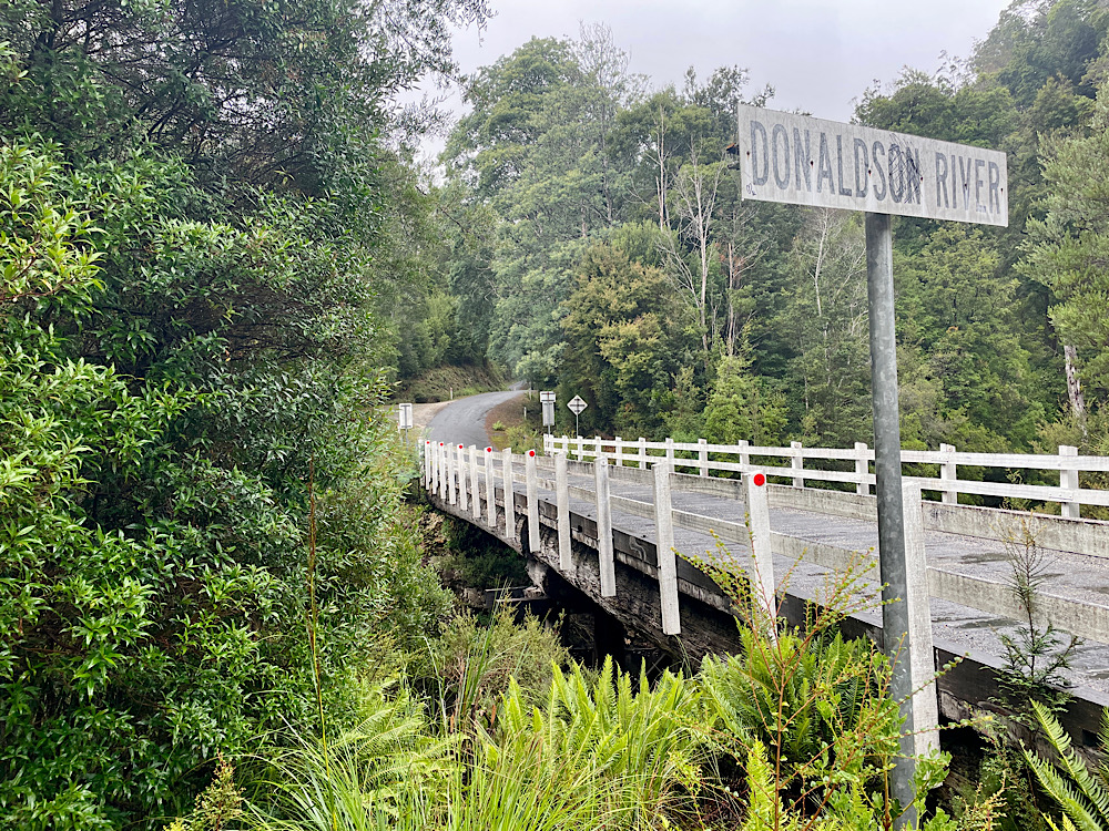
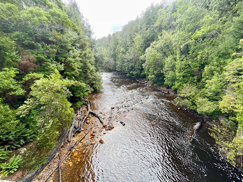
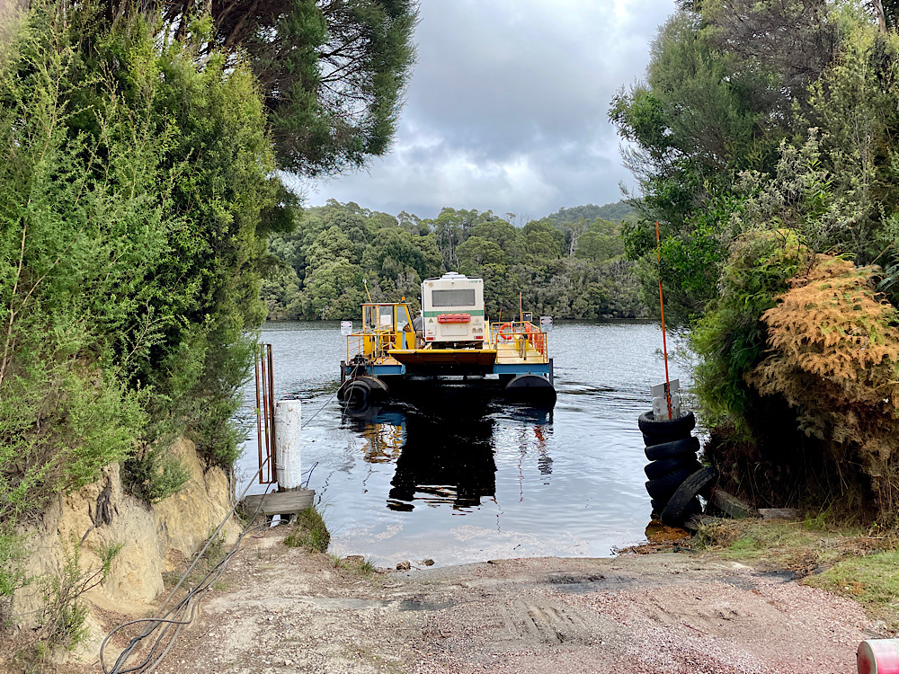
Shallow mountain streams with their rapids and beautiful big rivers are crossed on this journey to Corinna. Corinna is an old mining and pining town – gold for the mining and Huon pine for the pining. Today there’s just a few houses remaining and an attractive pub that sells meals and tickets for the barge.
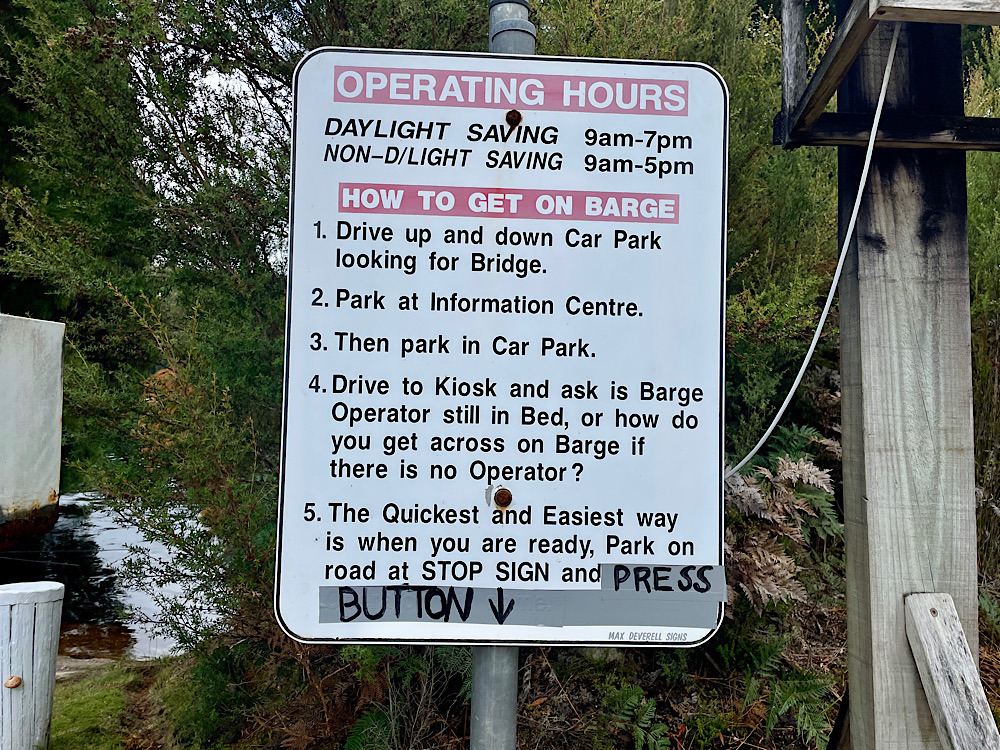
To continue south one must cross the Pieman River and the only way across is on the Fatman Barge. This barge is weight and length restricted – a car and caravan is too long. One Explorer at a time fits well!
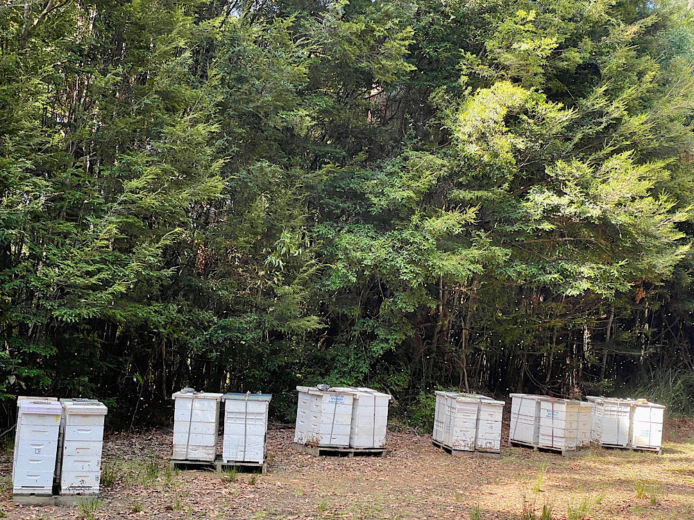
The beautiful thick forest continued – such a stunning drive. We passed quite a few stands of bee hives on both the Tarkine Drive and the Western Explorer. The honey made from these wilderness trees is usually manuka or leatherwood or a combination of blooming wilderness trees and shrubs.
Tonight we’re staying at McIntosh Dam to camp in the muddy car park with no view of the dam – what a letdown after the last few days of superb travels and campsites.
Saturday 24th Feb:
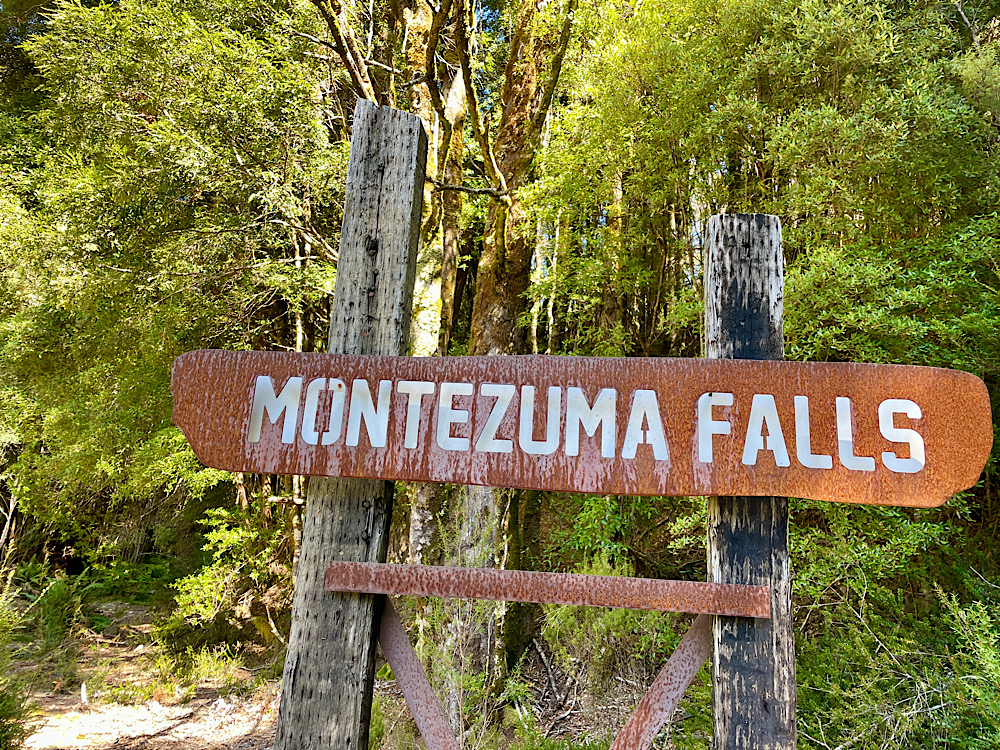
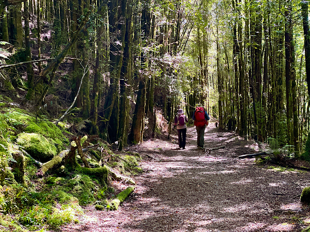
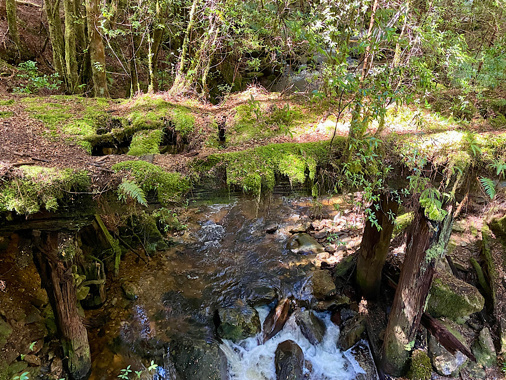
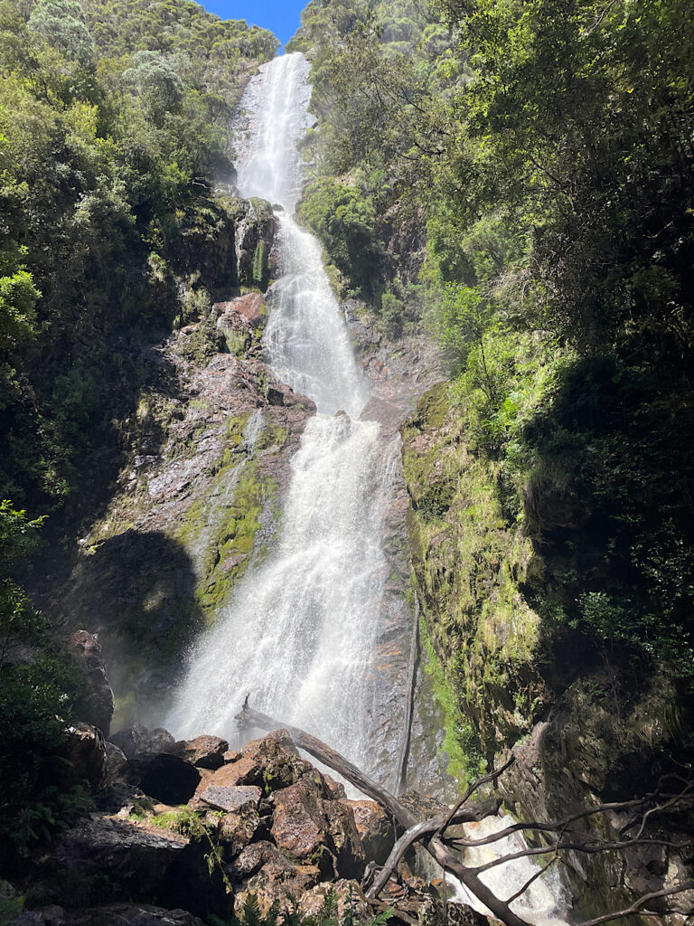
Our major plan for the day involves walking to Montezuma Falls. These falls are Tasmania’s highest with a drop of 104 metres. To reach the falls is an 11km return walk along the old tramway through a beautiful rainforest of myrtle, sassafras and leatherwood trees and tree ferns (called man ferns in Tas).
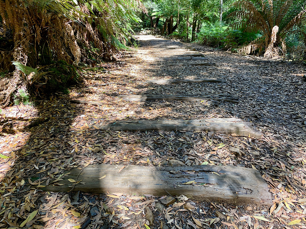
The tramway was constructed on a 2 foot wide gauge in 1897 to carry passengers and ore from the mines to be smeltered in Zeehan. From here it went to Germany to be used in weapons production. This export ceased when war broke out in 1914 and the line was used infrequently until 1932 when it was finally abandoned.
Sunday 25th Feb:
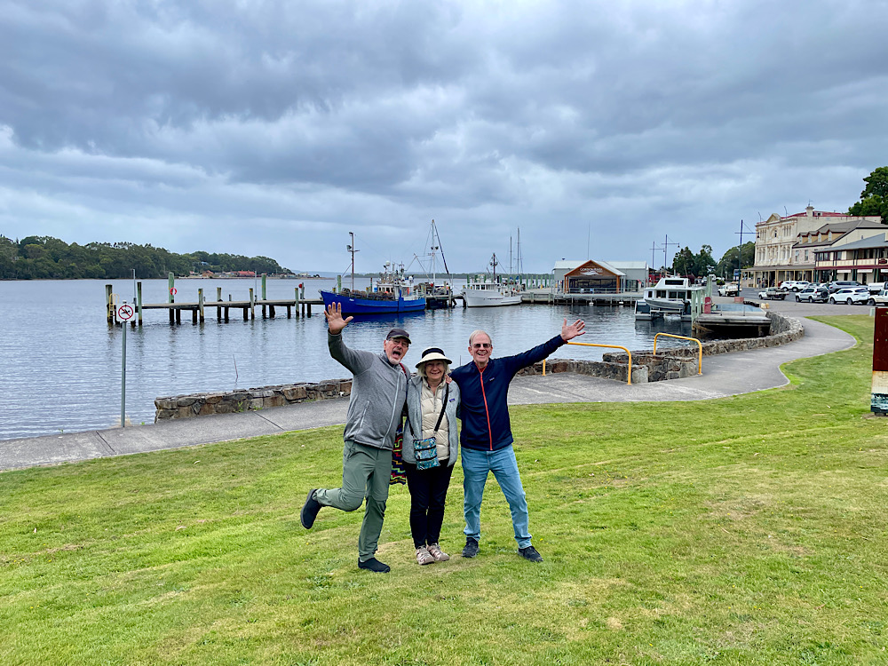
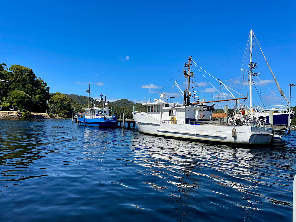
In Strahan and a wander along the waterfront revealed lovely old buildings, fishing boats at the dock and a cafe serving great coffee.
The fragrance of Huon pine drew us into Morrison’s Mill and gift shop – such a beautiful timber. Huon pine is endemic to Tasmania and found mostly in the west and south-west of the State. It’s a very, very slow growing and long-lived tree – some trees have been dated to 3,000 years old. It’s a valuable timber not just for its rich buttery yellow colour and fragrance, but also because it is insect resistant and decays very slowly making it ideal for ship building and fine furniture-making. Due to logging, mining, inundation (dam building) and fires this tree is under threat. All living Huon pines are now protected and retrieval of fallen pines is carefully regulated.
Monday 26th Feb
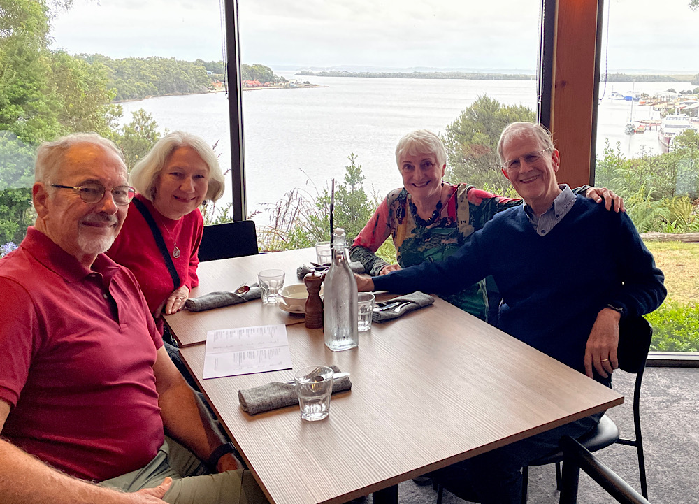
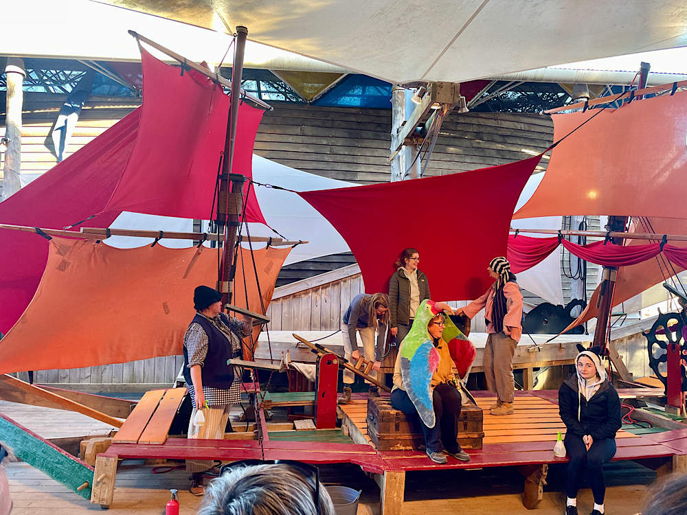
A quiet day catching up on admin and housework for Steve and I while Pat and Dick did the Gordon River cruise. This evening we all attended the play “The ship that never was”. It was based on true events, but was such fun. Two actors and lots of audience participation. Well worthwhile.
Tuesday 27th Feb:
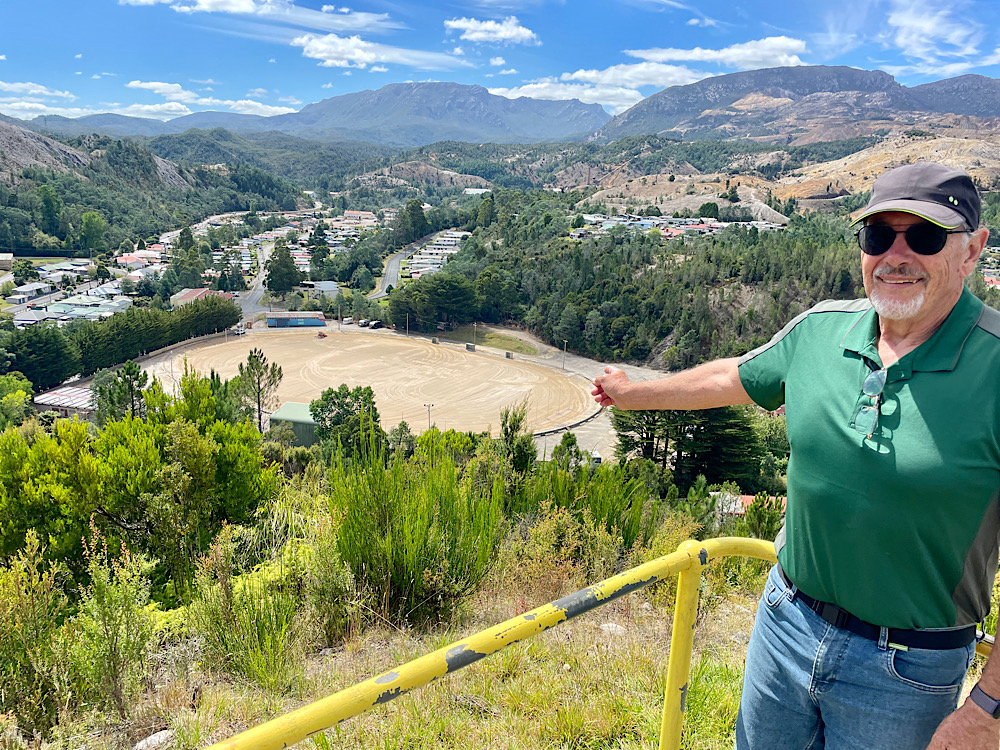
Distances between places in Tasmania are surprisingly short for we Queenslanders used to travelling a few hundred km between towns. Leaving Strahan it was only 42km to Queenstown. However what Tasmanians do very well is windy, steep, mountainous roads through rainforest.
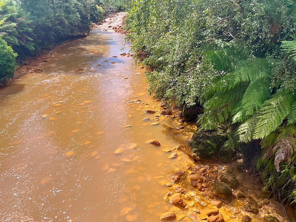
We soon lost the rainforest as we entered the previously completely denuded mountains around Queenstown. Copper smelting polluting the air and the rivers, and logging to keep those smelters going created a desolate moonscape. On a previous visit here many years ago, we saw they were trying to re-establish the trees – those saplings are now trees and have covered some of the hills.
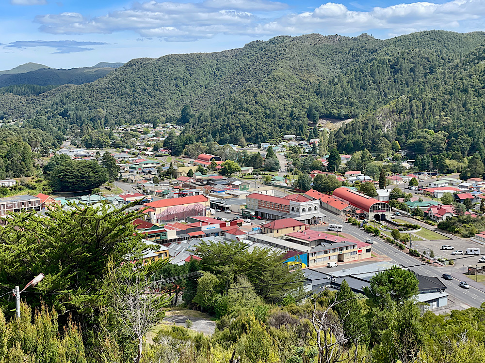
Queenstown has some historical buildings of note and a very good miners memorial.
Wednesday 28th Feb:
We’re heading east now to The Wall in the Wilderness at Derwent Bridge, which is in Tasmania’s Central Highlands. This extraordinary sculptural masterpiece by Greg Duncan was begun in 2005. The Wall is 3 meters x 50 metres, double-sided Huon pine with panels that illustrate the history of the Central Highlands from indigenous times to the present. The life-like finish to all the pieces is extraordinary. No trip to Tasmania is complete if you miss The Wall.
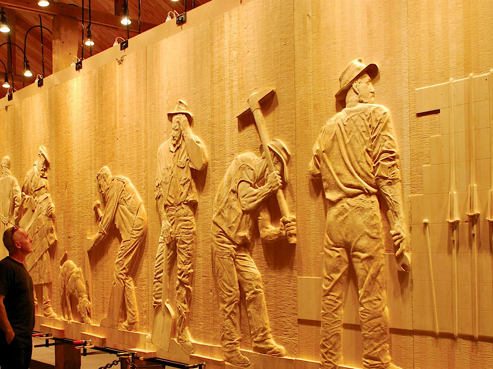
No photography allowed, therefore this is a stock photo from Discover Tasmania.
Tarraleah, our campsite tonight, owes its existence to the hydroelectric power company.
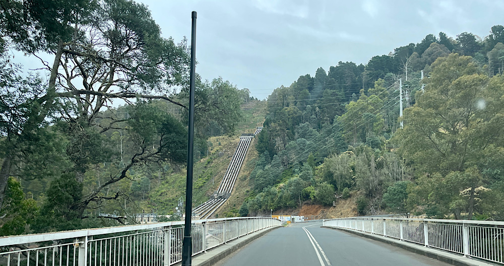
From the 1930’s to 2005 its residents were mostly hydro workers housed in company houses, as well as the mine executives luxurious lodge. About 20 years ago it was sold (yes, the whole town) and run as a camping and accommodation area, on a village scale. Last year it was bought back by hydro Tasmania who use the houses for their workers but maintain camping.
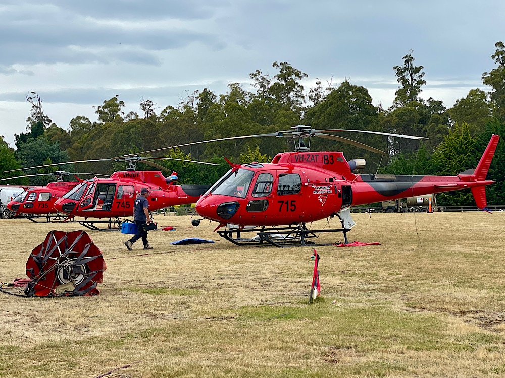
While we were there a bushfire was raging not too far away. There were 12 water-bombing helicopters working out of the oval nearby. The fire was brought under control and we found it quite interesting watching the process.
Thursday 29th Feb – Sunday 3rd March:
Today we farewell Pat and Dick as we start heading towards Port Arthur and they head north. Leaving Tarraleah we descended on windy roads for ages before finally reaching dairy and sheep country and the Derwent Valley to pull up for the night at New Norfolk. This historically charming town was founded by the settlers evacuated from Norfolk Island in the early 1800’s.
Friday we popped in to Hobart to buy some dehydrated meals for the upcoming hike.
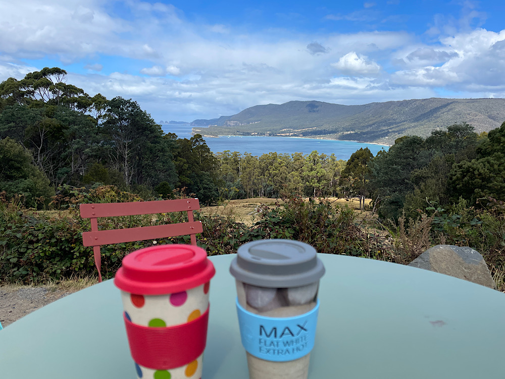
Saturday we enjoyed our brunch overlooking Eaglehawk Neck and the bay, then wandered up to the coffee van for a delicious coffee with even better views.
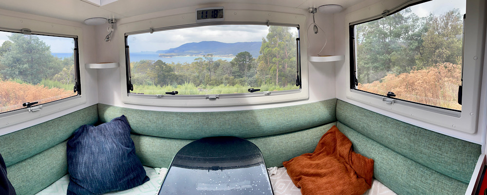
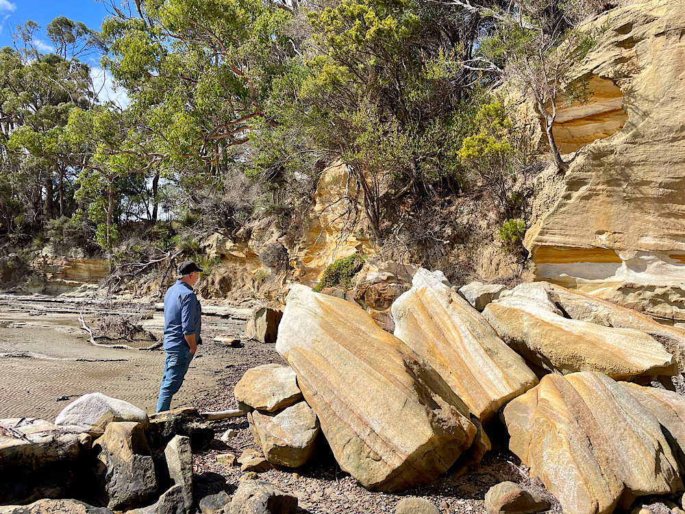
Parker’s Beach campsite, was delightfully quiet last night – us and one other. The beach is lovely, with amazing sandstone cliffs being eroded quite sculpturally.
Today it’s been strong wind warnings and showers all day – gale force winds most of the time, with temps in the single digits and ‘feels like” values only just staying above the negative, until evening when it could hold up no longer.
Being confined to the motorhome we made good use of our time finalising our packs for the big walk tomorrow, and watching movies.