26th – 31st May 2017
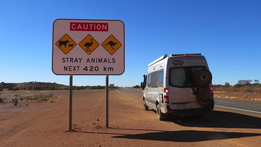
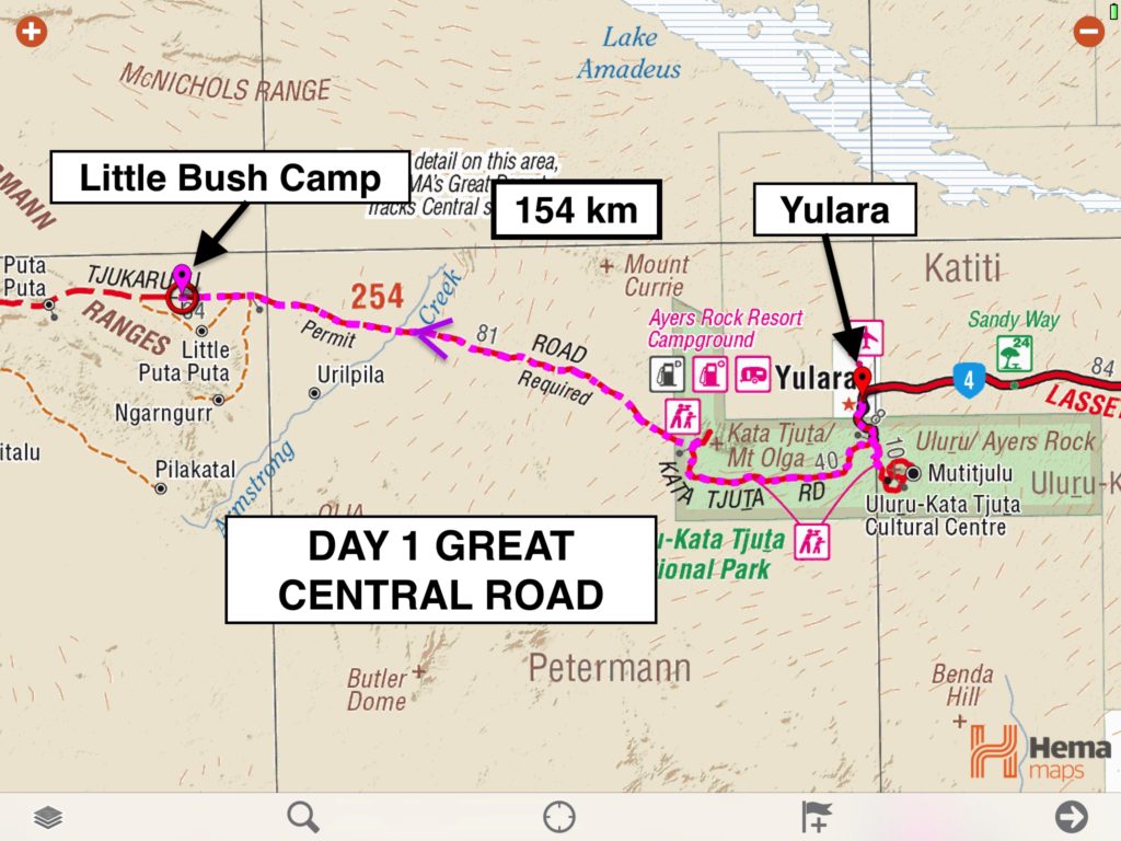
The Outback Way is Australia’s Longest Shortcut stretching from Winton in Queensland to Laverton in Western Australia, crossing through 3 states. From these starting and ending points it can be extended coast-to-coast from Cairns to Perth. We’re doing the section from Yulara to Laverton, known as the Great Central Road.
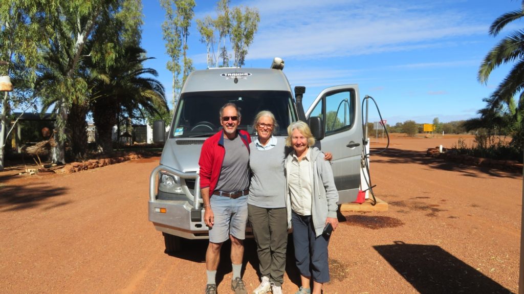
Friday 26th
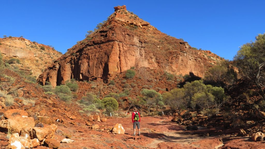
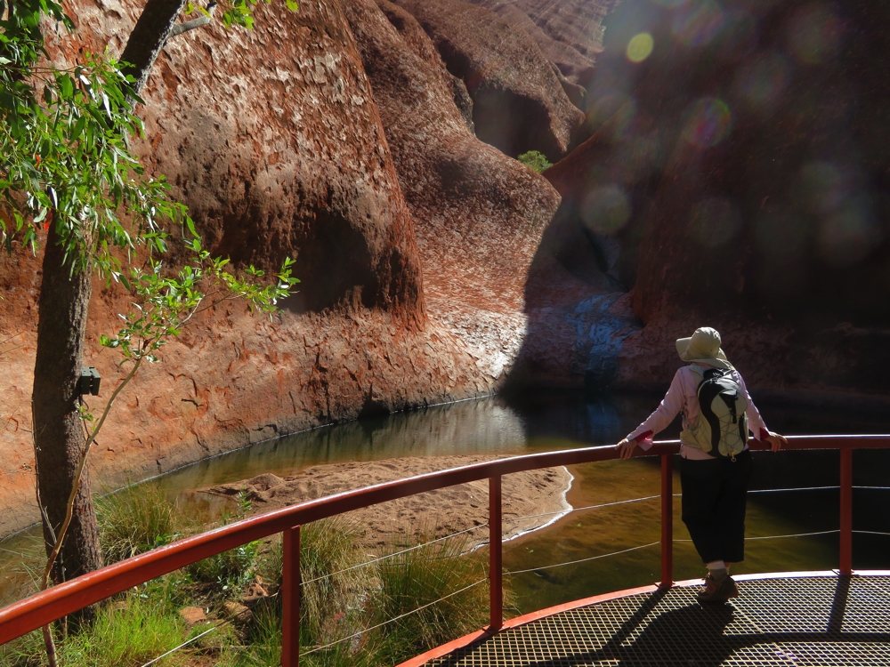
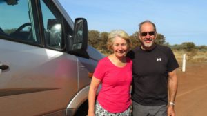
After a little last minute shopping in Yulara we got away, pausing only for the classic photos of us and our vehicles at Uluru. We stopped at the Kata Tjuta viewing area for lunch. I think the best descriptor for this place is ‘awesome’, in its most literal sense.
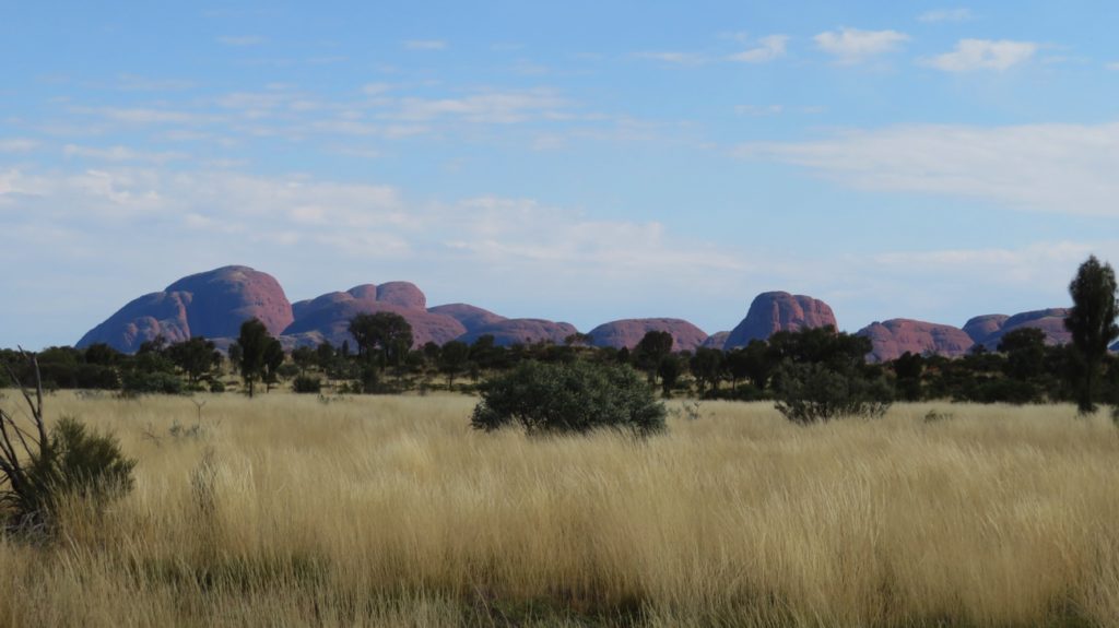
Kata Tjuka. Aboriginal creation stories tell us they are all young men.
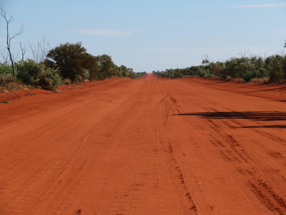
The blacktop ended the moment we left Kata Tjuta. Corrugations and sandy patches on a wide road took us to our overnight destination.
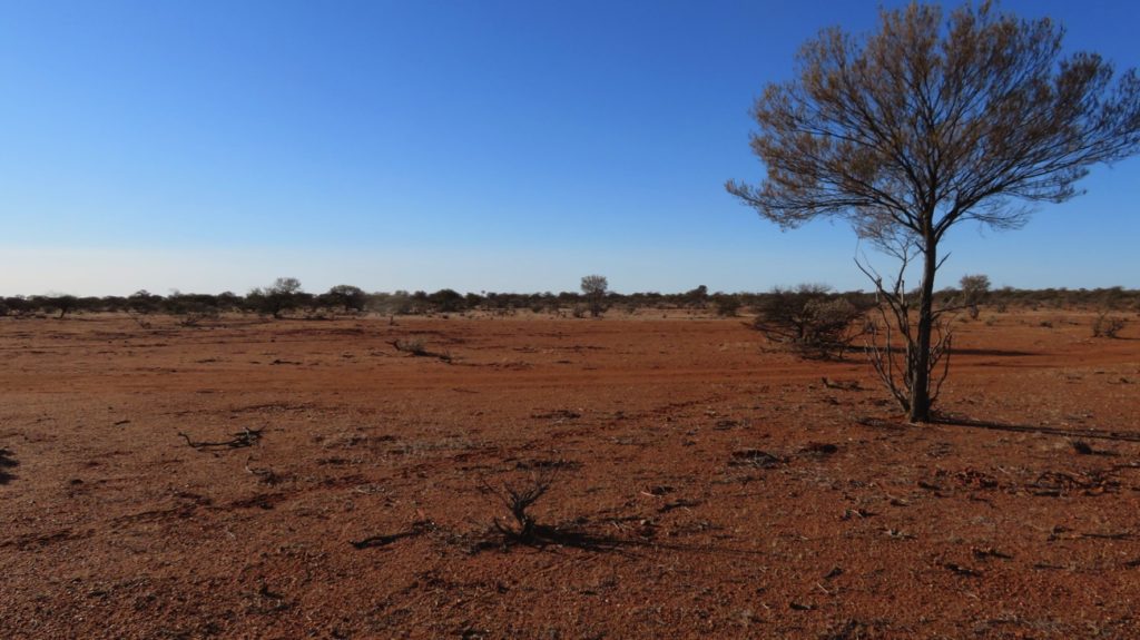
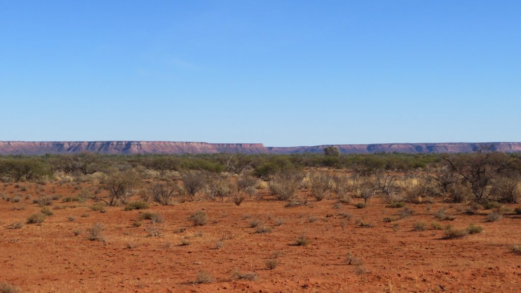
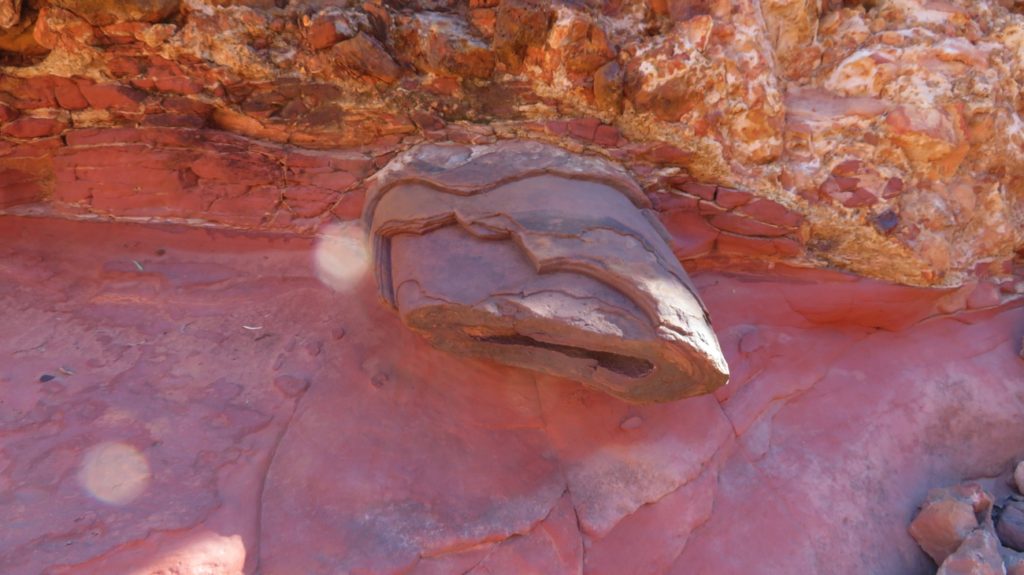
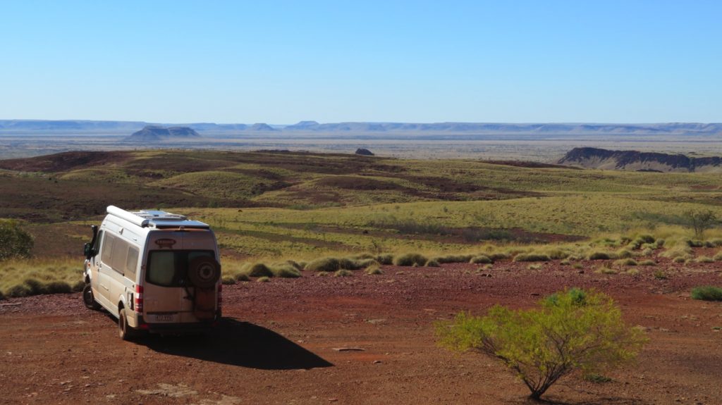
We never tired of the contrasts between the beautiful deep red soil, the cloudless (mostly) blue skies and the lovely greens of the wattles and mulgas.
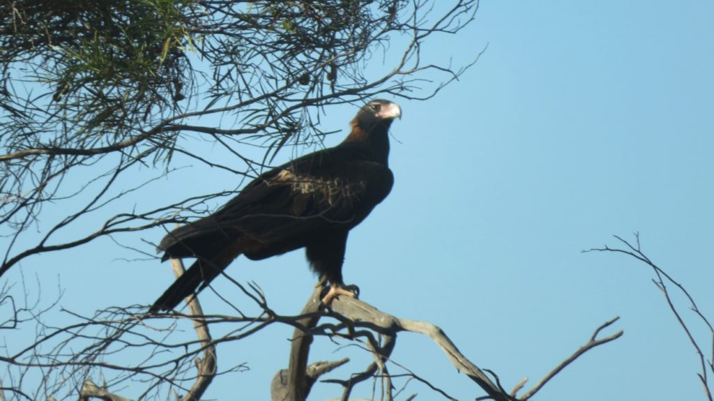
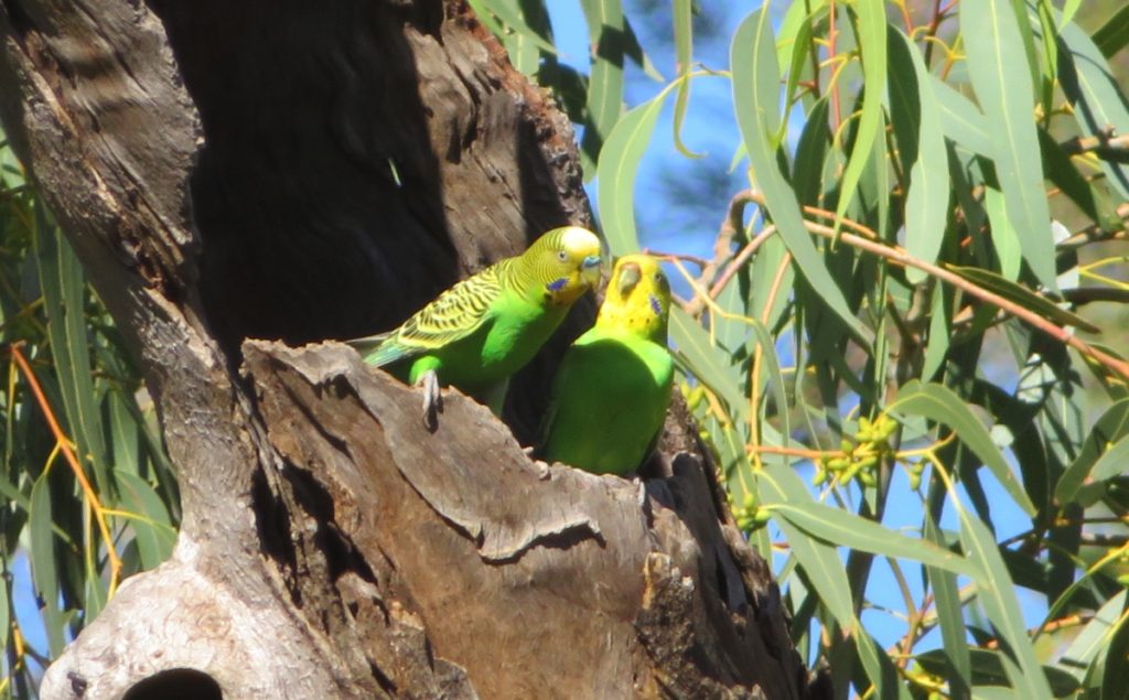
The countryside was unexpected – it’s covered in grasses and flowering spinifex with areas of acacias and mulga – not the bare earth I was expecting. The bird life is prolific with lots of tiny blue birds, a couple of bustards (very unusual birds!) and the occasional eagle to keep us company.
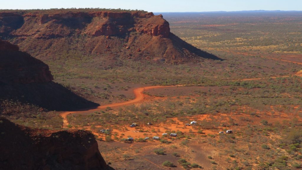
Our campsite tonight is just a short detour off the road surrounded by flowering wattles, mulga trees and grasses.
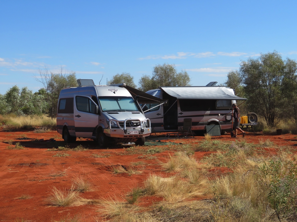
Our first campsite on the Great Central Road. This is descriptively named ‘Little bush camp’.
Saturday 27th
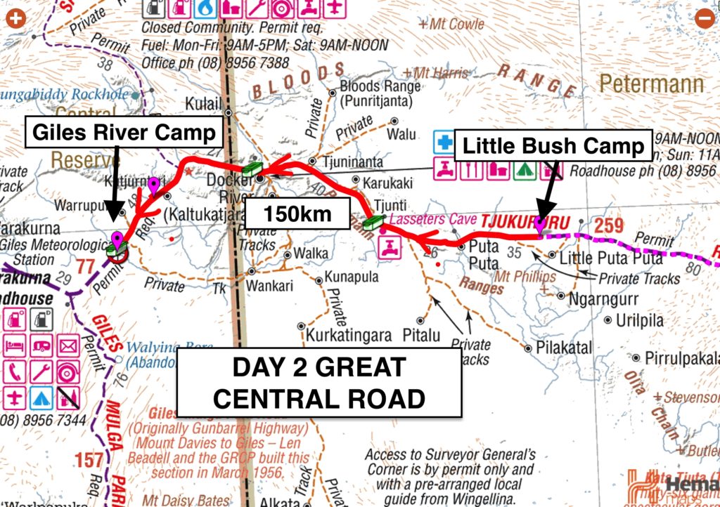
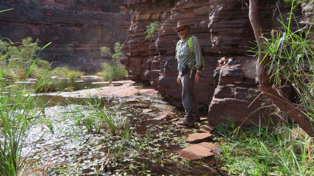
Steve and I and now Wendy have this rotten virus. I had a poor nights sleep, but today is a whole new day. Continuing westward we stopped for a cuppa and a look at Lasseter’s Cave.
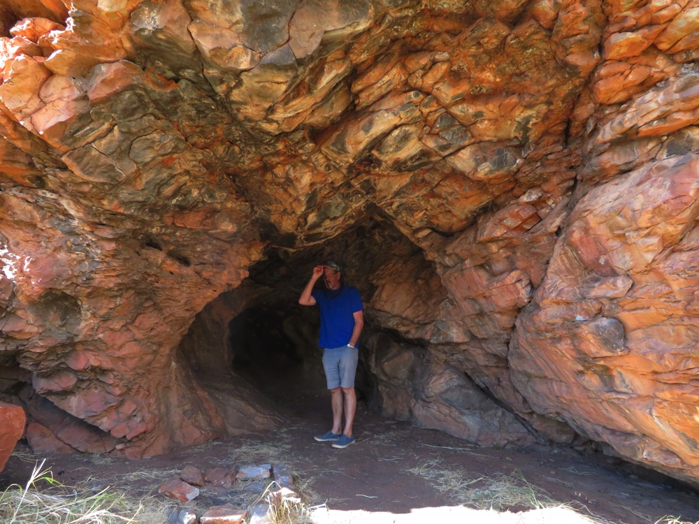
Lasseter’s Cave. It’s a pretty substantial cave.
In the 1920s, when the Great Depression started, Lasseter contended that some 20 years earlier he’d found a fabulously rich gold reef. He was sufficiently convincing to get a very well-funded and supported team togeterher to find it again. After a lot of fruitless searching the team had given up any hope of finding it and left Lasseter. He sheltered here in this cave for 25 days in 1931. There are varying theories about what happened to Lasseter, one being that he died in a small community not far away, another that he headed off overseas. Either way it was good that he disappeared as a lot of money and time was invested into trying to find his 5 mile reef of pure gold, Lasseters Reef – a very unlikely story, however even today prospectors still look for it.
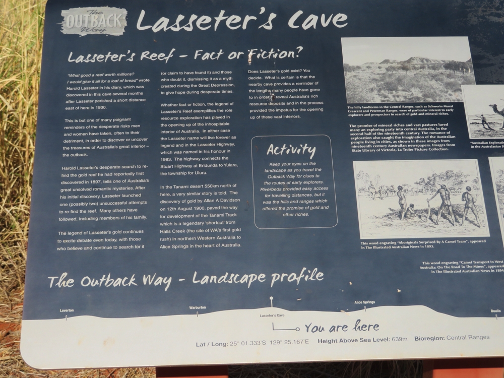
Lasseter’s Reef information board.
Next stop was the aboriginal community of Kaltukatjara (Docker River) which has a population of 355. We drove past lots of rubbish and dogs to the General Store, which is well-stocked with fresh fruit, veggies, frozen meat, including kangaroo tails and general grocery items. There were quite a few mums and bubs around, must have been child health clinic day.
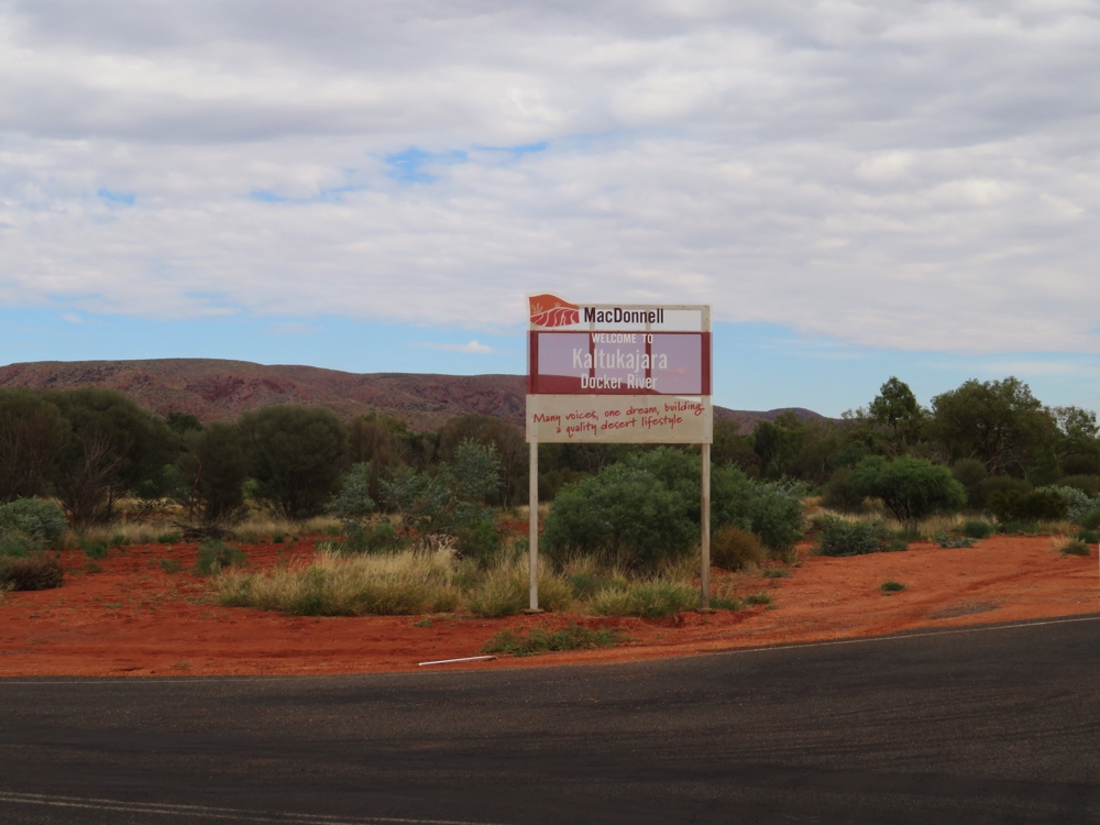
The turnoff to Docker River.
The road to Docker River has been reasonable – average corrugations and a few stony patches. The next 30 km were pretty rough though.
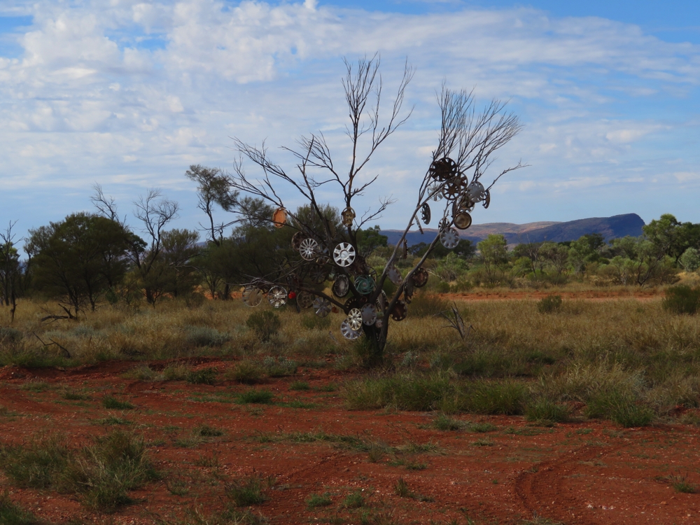
The hub cap tree – near the turnoff to Docker River.
About 10km from Docker River we crossed the border from the NT into Western Australia.
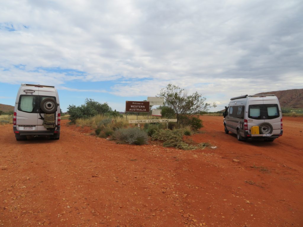
We’ve arrived. Western Australia here we come.
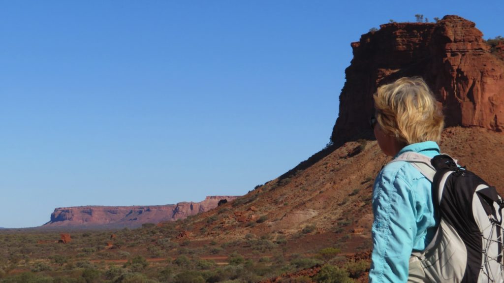
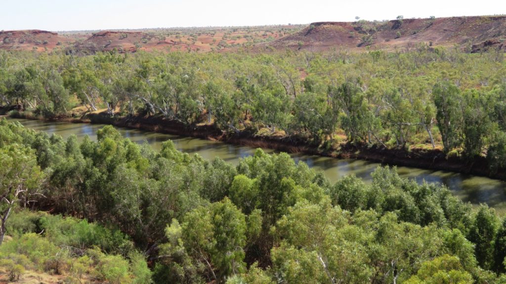
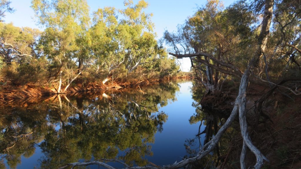
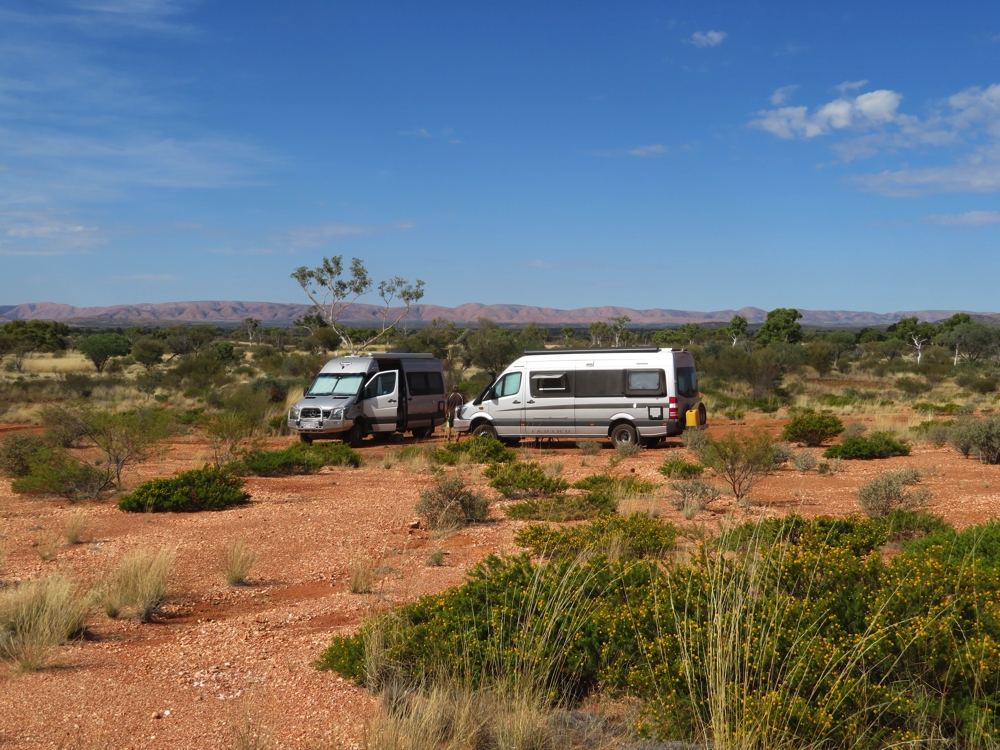
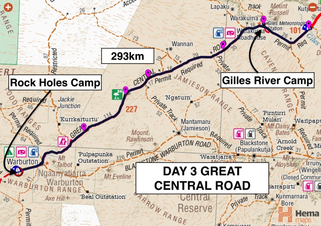
For lunch we stopped at Gill Pinnacle. This whole drive has been very beautiful with the rolling hills of the Peterman Range to the south of us, flowering spinifex and muted green trees with drooping bracts – Desert sheoaks. From the elevated campsite at Gill Pinnacle (where the dozer drivers are currently camped) there’s views to hills, ranges and mountain tops in every direction. However, the dozer drivers do have the best spot so we drove on to camp by the Giles River – a dry creek bed, of course!
Gill Pinnacle – a recommended campsite, but a bit early for us to stop yet. Just a cuppa.
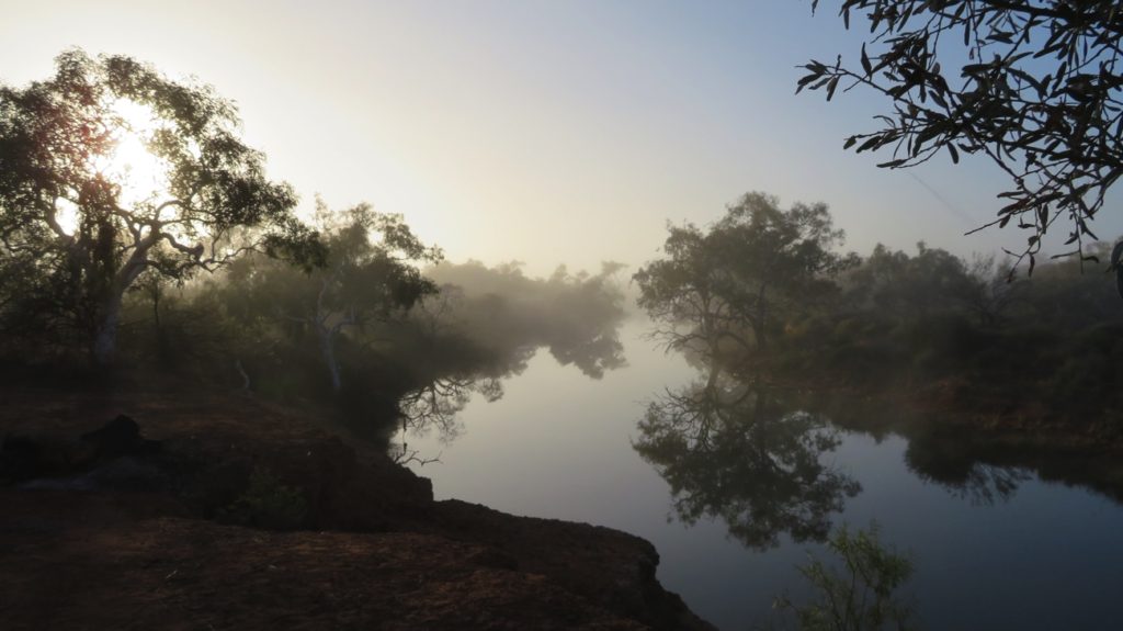
Sunday 28th
It rained a little overnight – nothing much, and continued to do so on and off most of the day. In places it settled the dust, further on for about 20km the road was wet with puddles, but not slippery or muddy fortunately.
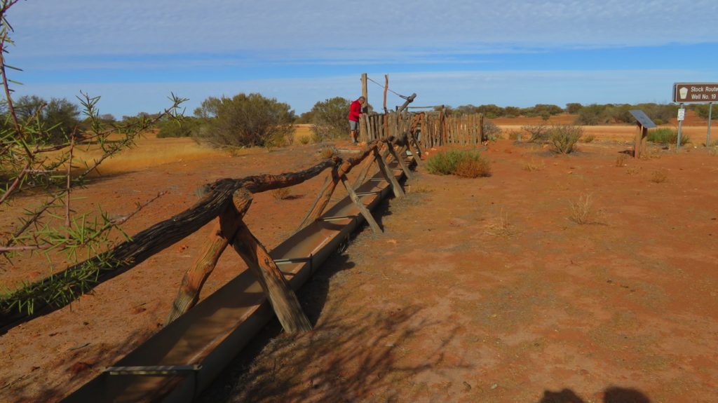
Our first stop was at the Roadhouse at Warakurna, an aboriginal community of about 180 people where we all had a hot drink and Steve had a shower. Due to petrol-sniffing being a problem with some people in these remote communities only diesel and Opal, an unleaded petrol substitute, are available.
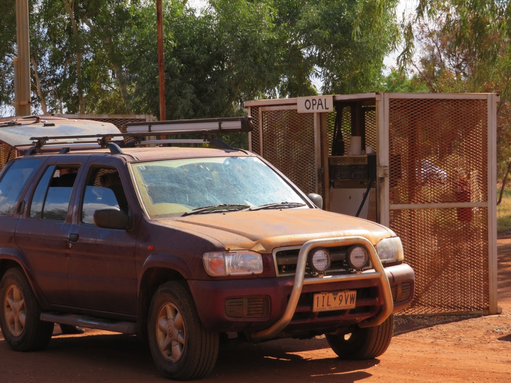
At all the road houses along this trip the fuel bowsers were individually locked up in cages. This one is selling Opal – which is a variety of low-aromatic 91 RON petrol developed in 2005 by BP Australia to combat the rising use of petrol as an inhalant in remote Indigenous Australian communities.
The Giles Weather Station is only a couple of kilometres outside Warakurna. This station is close to the centre of Australia and in the middle of the subtropical jet stream providing important data on weather influences for eastern and south eastern Australia. As well as a weather radar and other monitoring equipment, a weather balloon to record the atmospheric conditions is released from here daily.
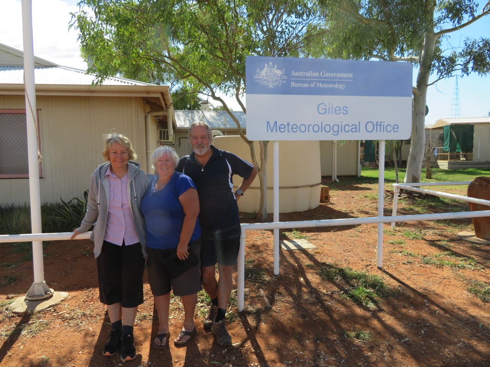
Interesting museum at the Giles Weather Station.
This site was chosen by Len Beadell, the famous surveyor and road builder, to forecast suitable weather conditions for the nuclear weapons testing that was happening at Emu Creek and Maralinga in the 1950s and later for the rocket launches from Woomera. Beadells bulldozer, which covered some 30,000km in road construction, and wreckage from the Blue Streak missile, the first launched from Woomera, are on display here.
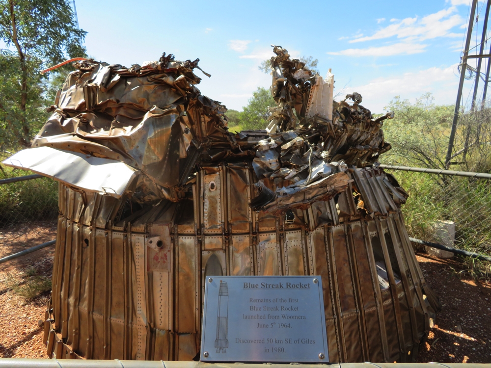
The remains of the Blue Streak Rocket, the first rocket launched from Woomera.
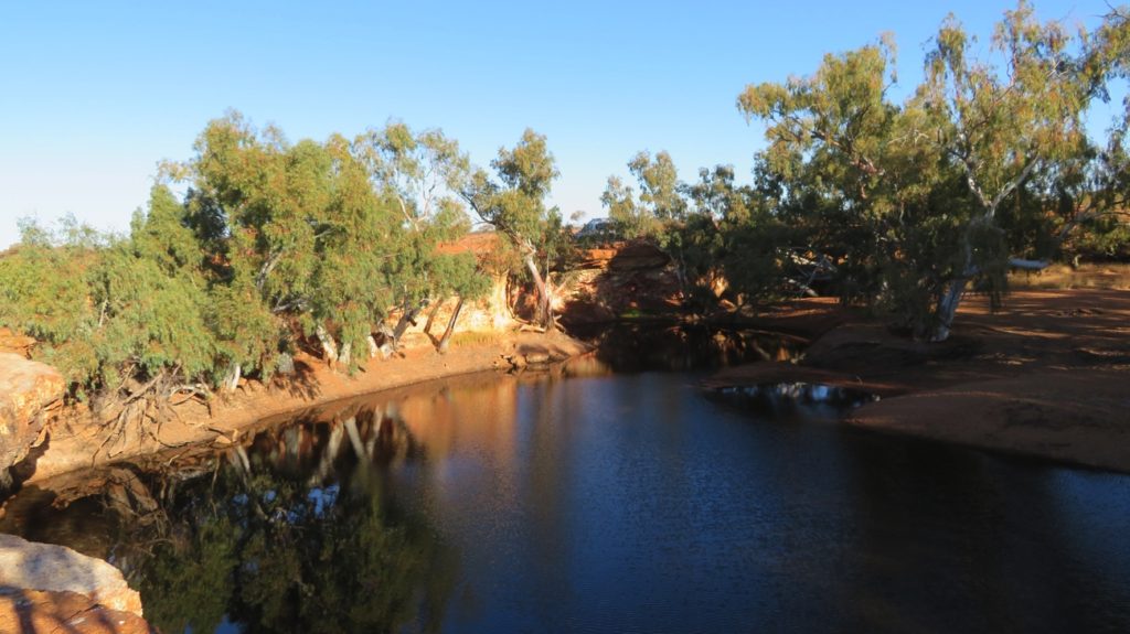
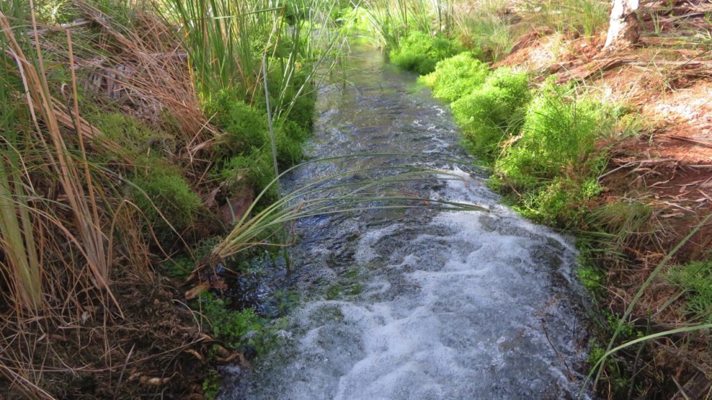
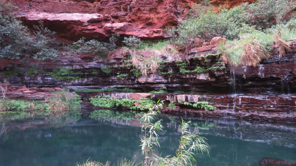
Continuing on we stopped at the Gnamma Holes for lunch. On the northern side of the road is a large flat area interspersed with shady shrubs, great for camping; the Gnamma Holes are on the southern side. We saw 4 holes ranging from 1 – 3 metres in diameter and full of water. These permanent waterholes were an important source of water for the nomadic aboriginals and animals, being replenished from underground supplies and rainwater runoff. Due to their small surface area evaporation is reduced; an important feature in this arid country.
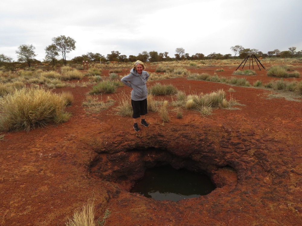
The Gnamma Rock Holes
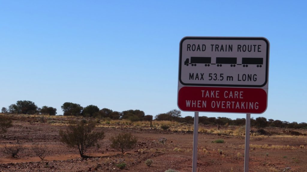
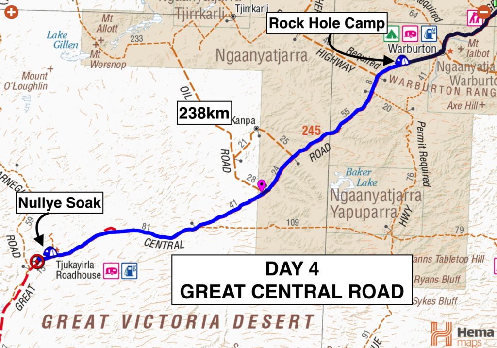
Our long-range fuel tanks have been great on this trip, allowing us to bypass expensive fuel stations. However it’s cutting it fine to do the full 1100 km on one tank so we’re pushing on to Warburton to refuel. With a population of 470 Warburton is the largest town between Yulara and Laverton. Sundays the Roadhouse closes at 3pm so we covered the next 150km without any stops, making it with 20 minutes to spare. We’re very pleased with our fuel economy – 600 km since last refill and we still had just a little less than ½ a tank left.
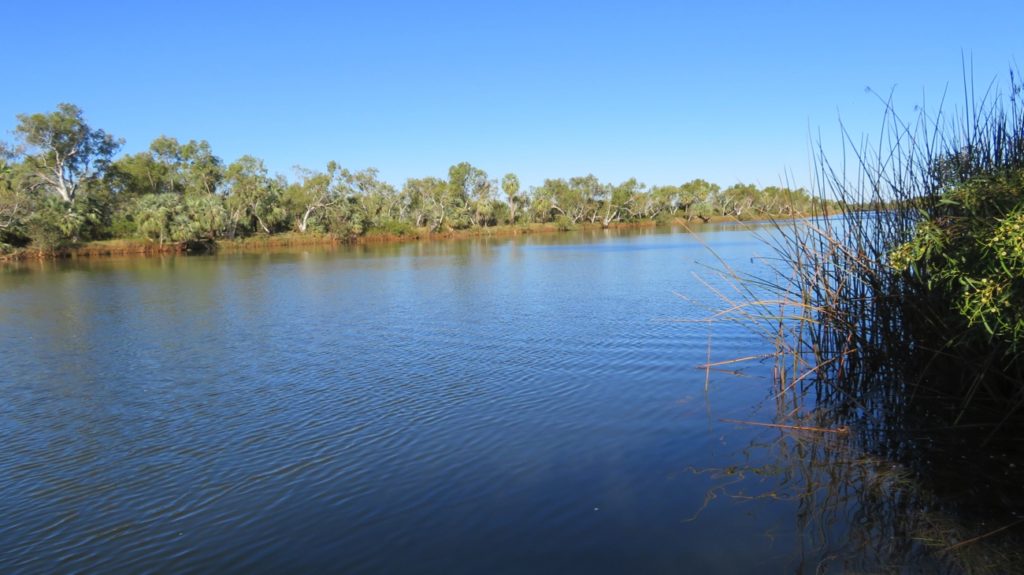
Our campsite tonight is called Rock Hole camp and is on an escarpment overlooking the plain to the west. Another gorgeous, solitary campsite. We cooked our meals on Ken’s fire; brilliant little invention of his.
Surveying the countryside from our campsite for the night.
Monday 29th
There was some light rain last night and today we drove through several light showers. The road was muddy with a few puddles in places but not enough to bother us.
Feral camels are becoming more common and today a male camel stood in the middle of the road and stared us down for awhile before showing us his rear end, literally, and galloping off. Later we saw a group of about 8 camels just off the road.
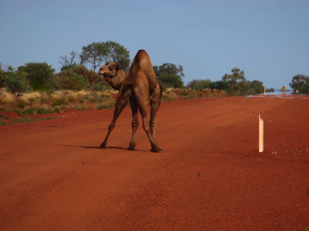
OK – now that’s just a bit rude, don’t you think!
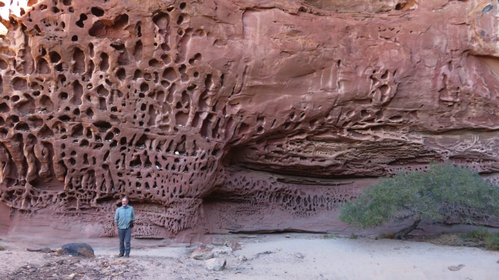
Brunch for us today at Surf Central. How could you not stop at a place with a name like that in the middle of the desert? It’s an attractive campsite with mesa-like red cliffs full of holes and caves. An intriguing place, but I couldn’t see any link to surf.
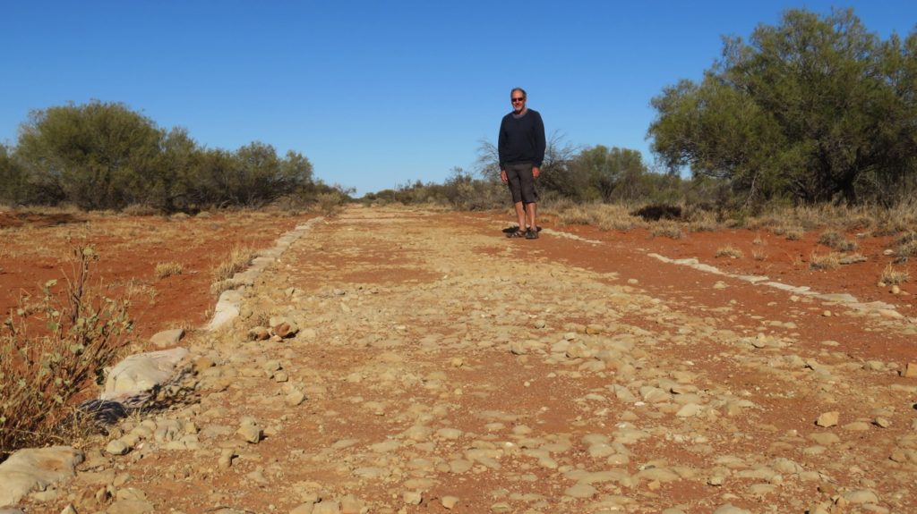
Tjukayirla (pronounced chook-a-yerla) Roadhouse provided lunch and a rest stop. For a kilometre or two before the roadhouse the road is sealed road and very smooth – turns out it can become the Royal Flying Doctor emergency airstrip if necessary.
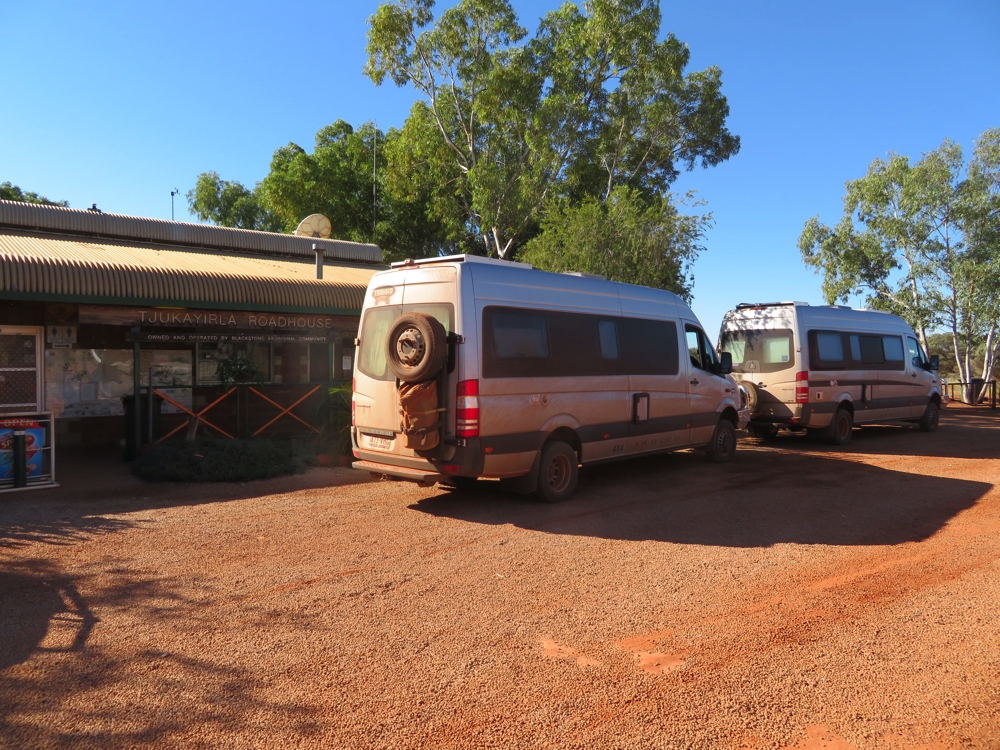
At Tjukayirla Roadhouse.
Lots of road works happening – the bulldozers are around Surf Central, and several kilometres of road being prepared for sealing just after Tjukayirla.
We finished the day at Nullye Soak with yet another roaring campfire on which Ken cooked us all his famous pork belly. Lovely evening – not too cool, stars sitting on the horizon in every direction.
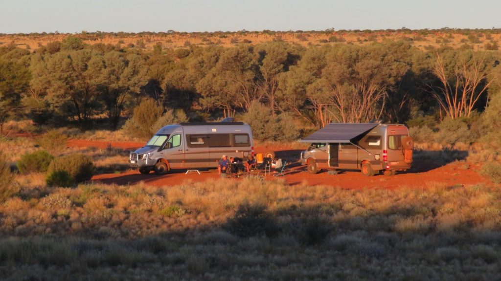
Our campsite at Nullye Soak from the surrounding escarpment.
Tuesday 30th
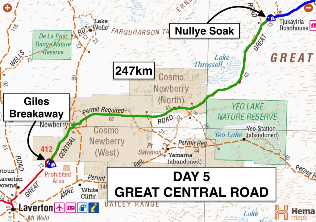
The road condition was so-so today – some good patches but more of it rough or corrugations. Apparently the folks at Cosmo Newberry have been granted Land Rights over some of the land the road runs through and a few political problems have arisen preventing the upgrading of those sections.
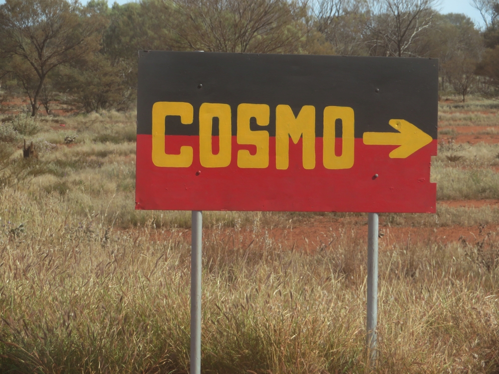
Right, got it! That’s the way to Cosmo. And with the colouring of the sign I don’t think I could go too far wrong in assuming it’s an aboriginal township.
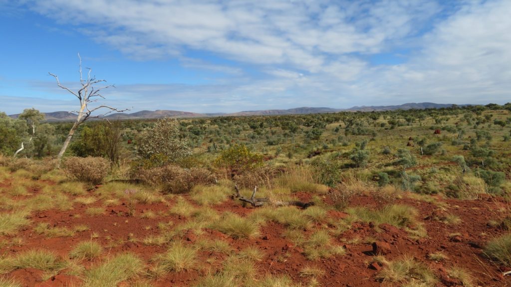
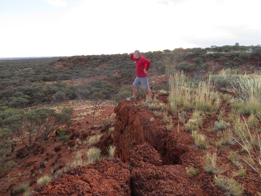
The landscape changed again today. It was low shrubs and 3 – 4 metre high mulga or acacias, but as we came over the escarpment the mulga disappeared and the foot-high bushes and spinifex covered the land as far as the eye could see. The variety of landscapes and flora along this remote arid drive has been surprising and stunningly beautiful, particularly when their muted greens and creams are contrasted with the deep red dirt of the road. Many of the plants are flowering too.
We stopped for a cuppa at another mesa-shaped breakaway where a large white-painted cross has been erected. A flock of pink galahs swooped very low and noisily over our heads as we explored the caves and holes here. We discovered a couple of permanent waterholes and I’m guessing they were nesting in the many holes in the cliff face.
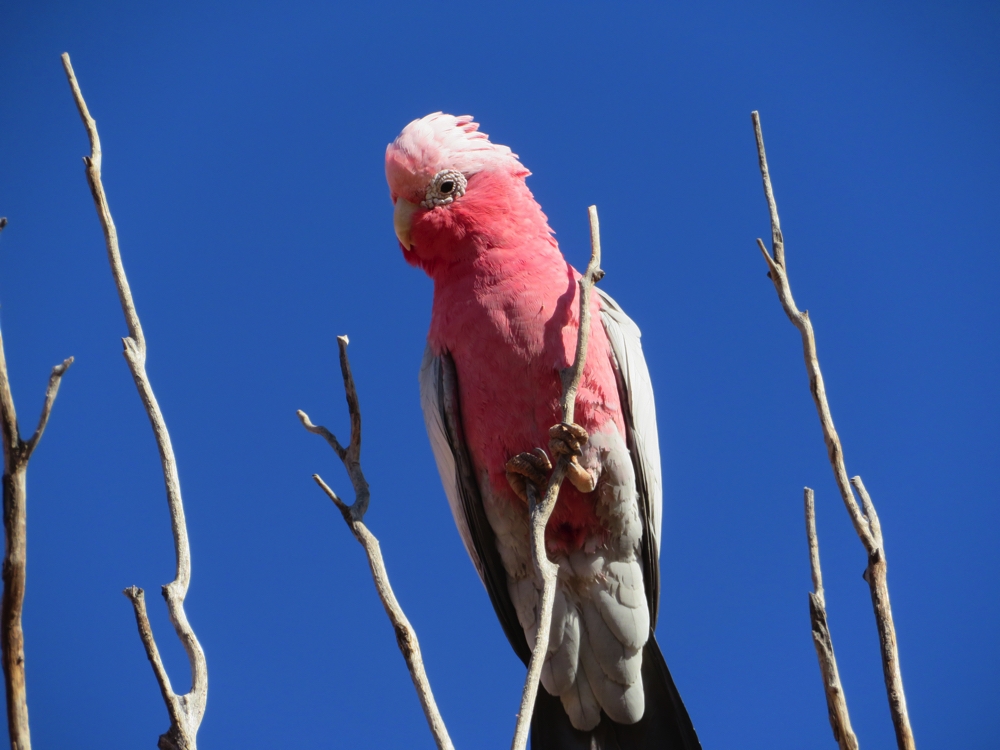
Galah defending territory at White Cross.
More camels today, however we’ve all been surprised by the lack of other animals spotted – not even any road kill. The countryside has plenty of greenery and numerous gnamma holes.
The small aboriginal community of Cosmo Newberry was worth a drive into. One day I’ll find out how it got its name! No photos allowed – most of the aboriginal communities we’ve passed through have that stipulation on them.
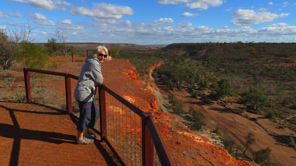
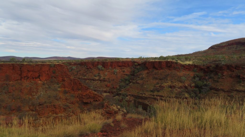
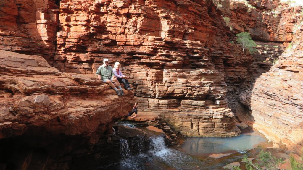
Lunchtime found us at Giles Breakaway. This beautiful campsite is one we couldn’t go past, so stayed for the night. Breakaways are a geological formation. There’s a photo of the interpretive board in the photo gallery (linked below) which explains them. We reversed the vehicles to the edge of the escarpment and had the most beautiful views over the sunken plain.
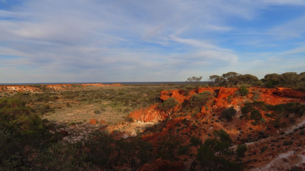
Sunrise on the beautiful red cliffs of Giles Breakaway.
An eagle circling over the white sand base surrounded by the variegated white, red, craam and browns of the cliff was mesmerising. She was nesting in a near-by tree.
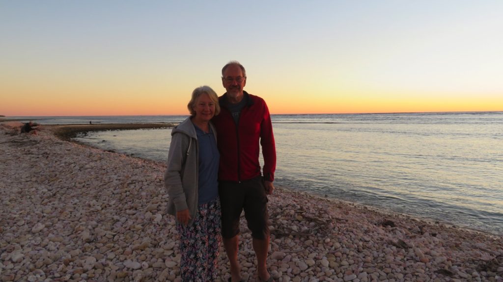
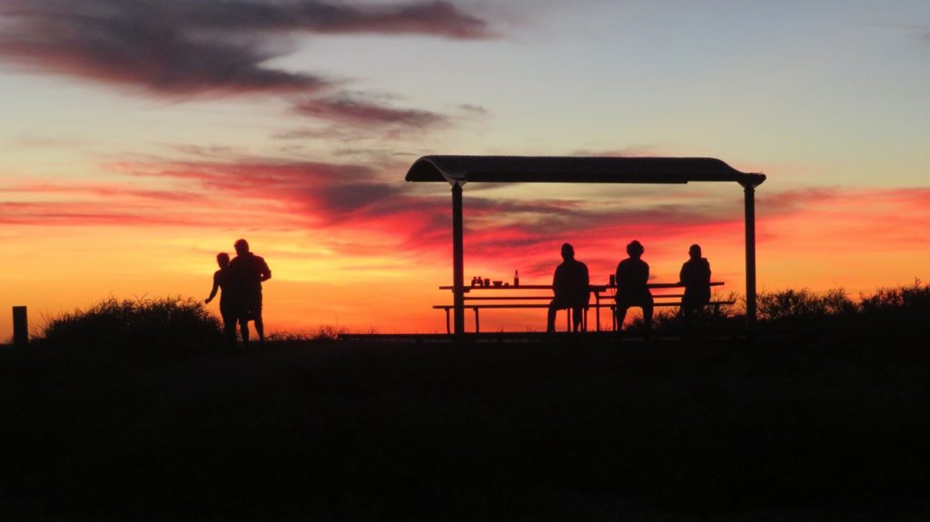
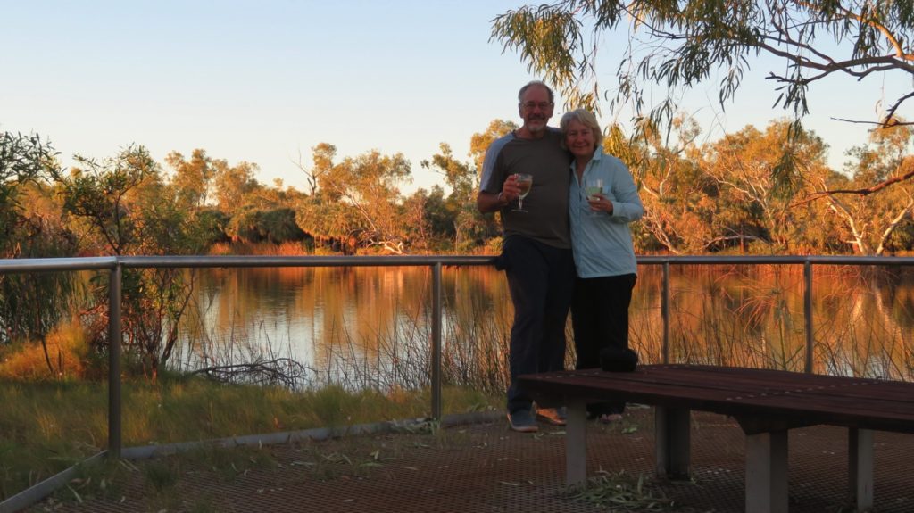
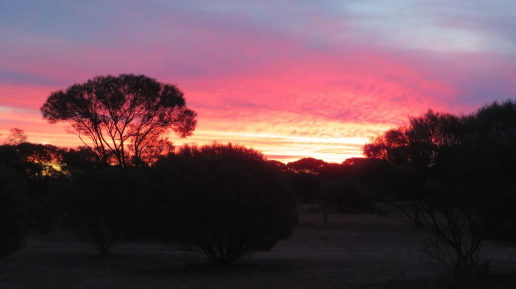
Sundowners overlooking this breakaway has been another of the delights of this road trip.
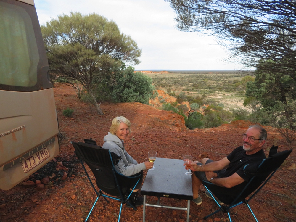
Such a good camping spot we just had to toast to it – Giles Breakaway.
Friday 31st
Sadly we finished the Great Central Road today. It was only 55km on to Laverton. We had a cheer when we finally rolled onto the bitumen.
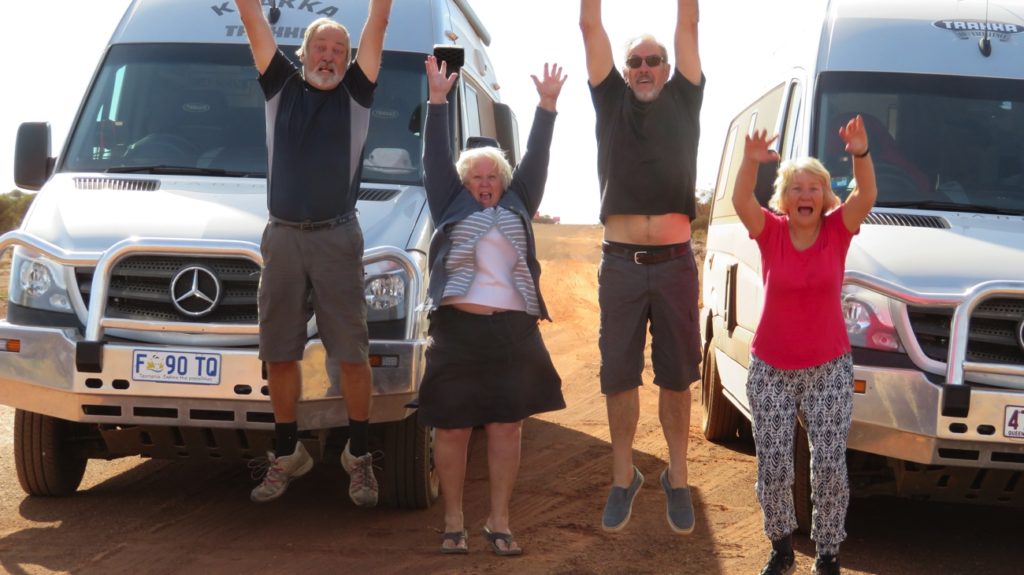
Yay – we’ve hit the bitumen. 1100km of dirt roads behind us.
On conclusion of this trip I think it must be considered to be one of the World’s great road trips.
The end of the Great Central Road. Loved every minute of it.
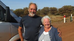
Ken and Wendy – just finished the Great Central Road. Still smiling!
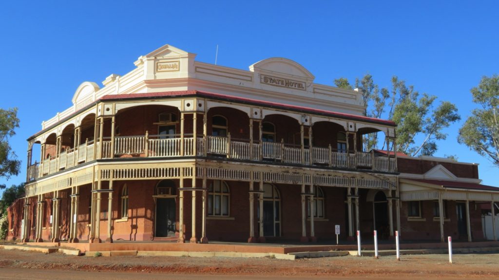
Once settled into the Laverton caravan park with electricity, water on tap and hot showers it was cleaning, restocking and catching up with all things Internet before a celebratory dinner and the State of Origin football at the Desert Sands pub.
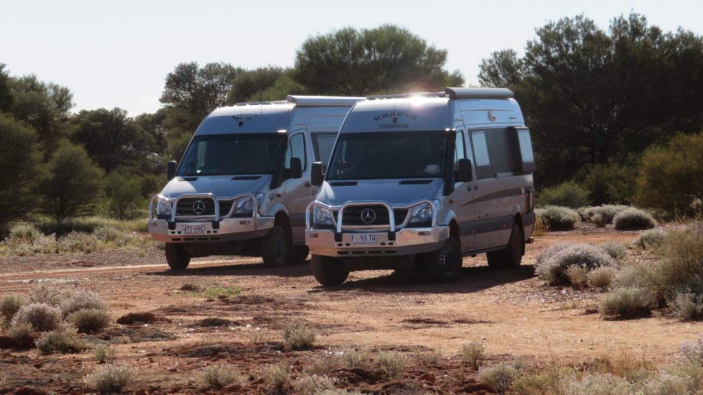
Two wonderful vehicles that have carried us through thick and thin without a complaint. Love our TRAKKAS.
To see more of our photos from this adventure CLICK HERE.