18th – 22nd May 2017
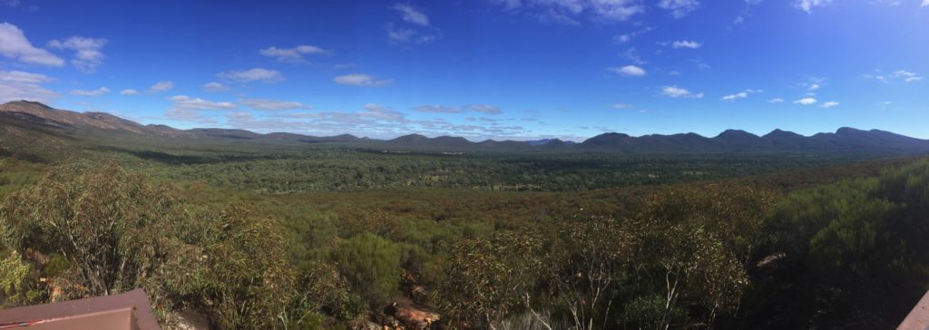
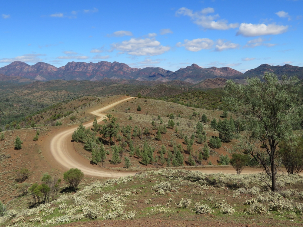
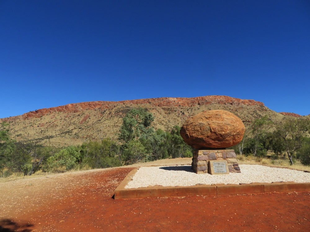
The Red Centre Way, also known as the Mereenie Loop, is a tourist trail which leaves Alice Springs and ends in Yulara, doing a big loop following the West McDonnell Ranges, Namatjira Drive, Larapinta Drive to Watarrka NP (Kings Canyon), joining the Lasseter H’way just before Curtin Springs and finishing in Yulara. It’s about 700 km.
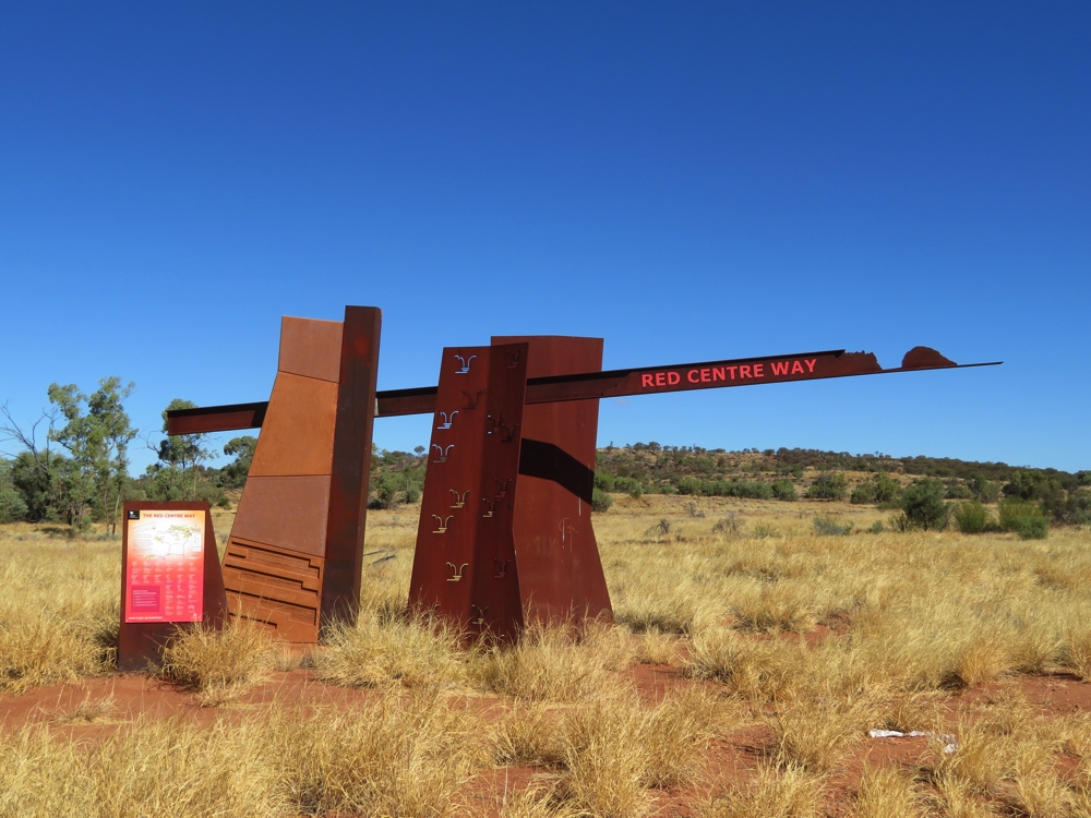
The official marker of the Red Centre Way
Thursday 18th
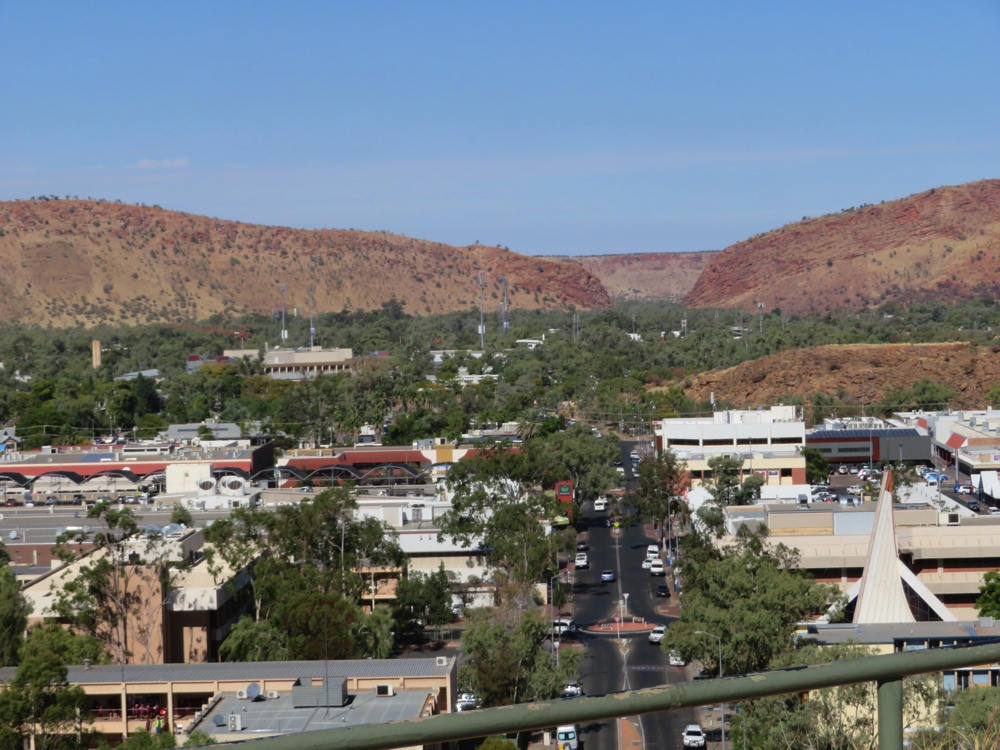
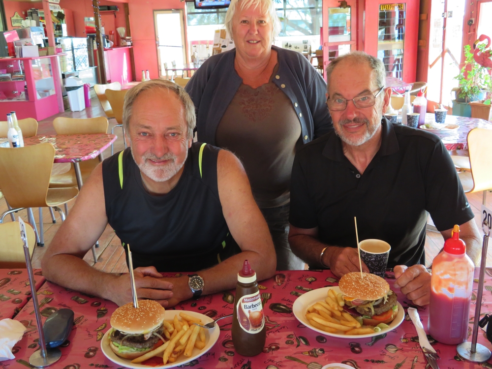
We couldn’t leave Alice until we’d collected a parcel of mail from home. As it just so happened the Alice Springs Writers Festival begins today with a free talk at the library by Lizzy??? who has written an autobiography called ??? (oh dear!). We listened to a Q&A with her before having lunch beside the Todd River and then beginning our next adventure. The Red Centre Way.
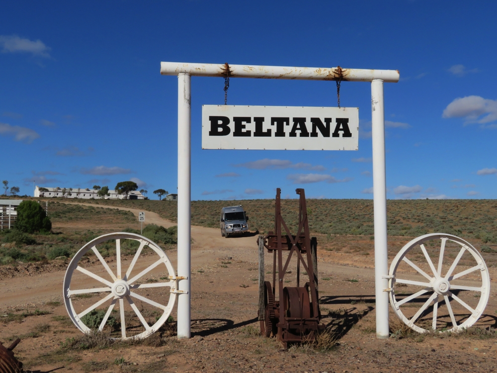
Our first stop was just a few kilometres out of town at Flynn’s Grave. Flynn, as mentioned a few weeks back, was a minister of religion at Beltana and this is where he saw the difficulty of receiving medical care in these remote locations. At the Royal Flying Doctor Service we visited in Alice we saw how he was instrumental in setting up this incredibly important service which today covers the whole of Australia. The first plane used for this purpose was based in Cloncurry in western Queensland and commenced service soon after World War 1. Definitely one of Australia’s heroes.
This is the grave site of John Flynn and his wife who initiated what is now the Royal Flying Doctor Service.
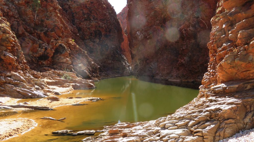
Onwards to Simpsons Gap. There is a wealth of aboriginal creation stories relating to this area, the Caterpillar Dreaming story telling of the creation of this very beautiful and unusual range that has many gaps and chasms along its length. If you know the caterpillars that follow each other head to tail in long lines, that’s just what these Ranges look like. Simpsons Gap is one such gap- lovely white sands, beautiful River Redgums in the dry creek bed and a pool of water in the Gap between the Ranges (or caterpillars!).
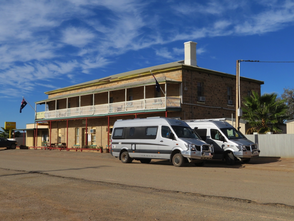
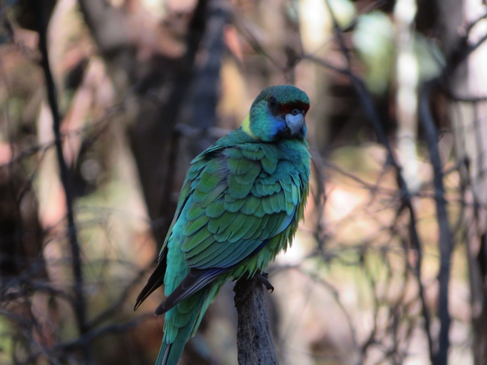
The two Jabirus at Simpsons Gap
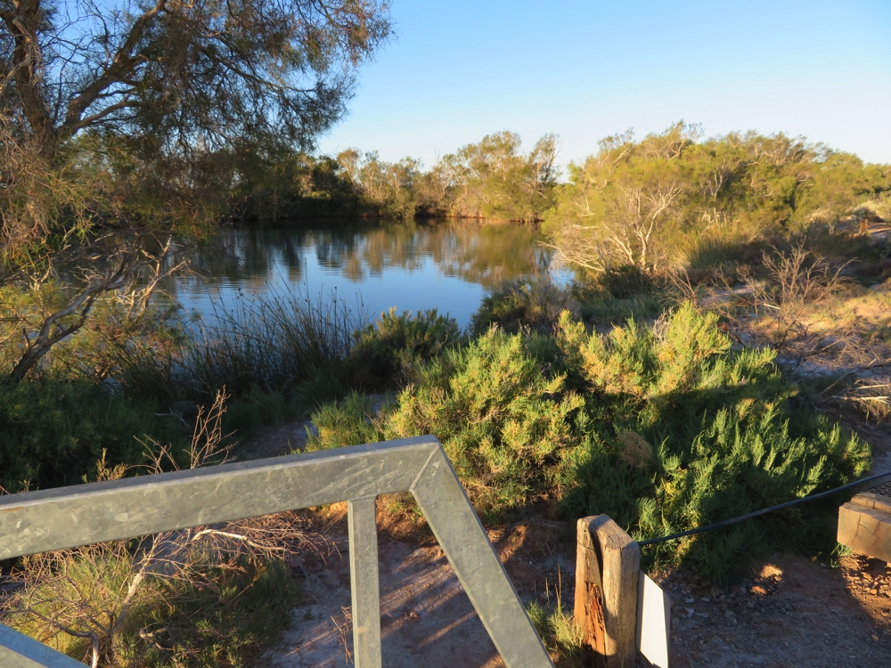
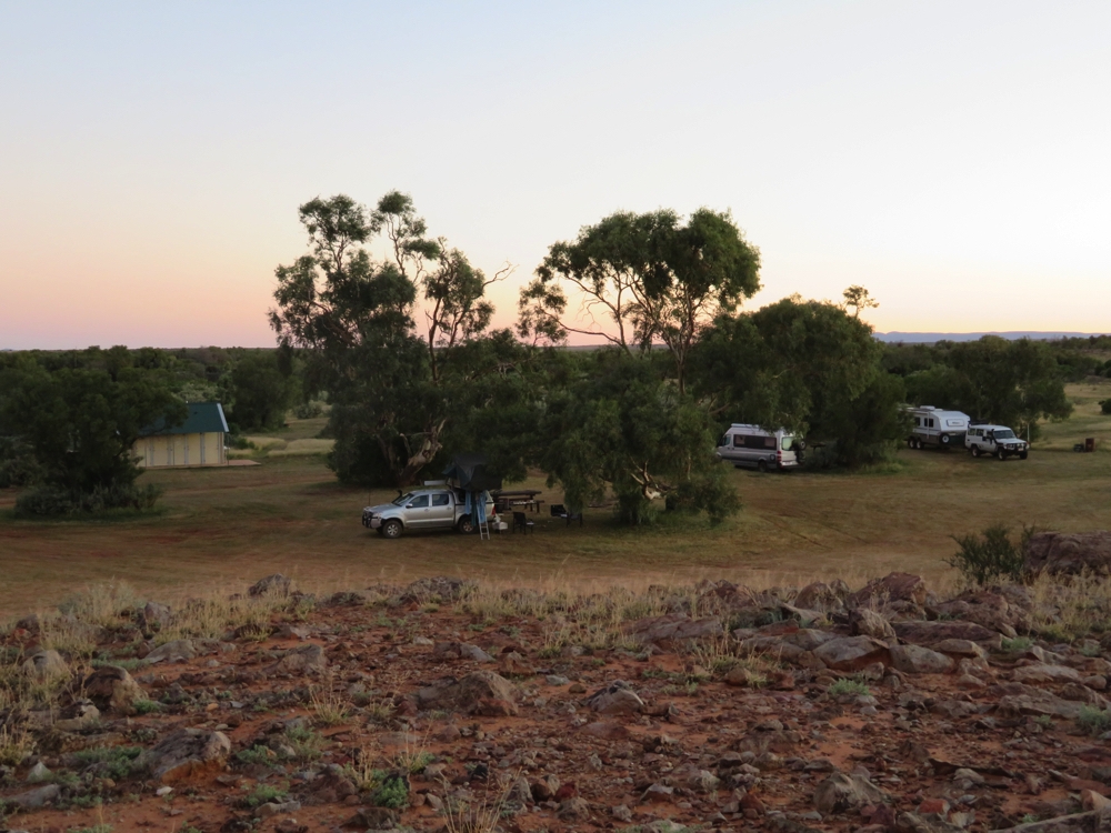
Ellery Big Hole was our destination for the evening. This is a National Parks campsite ($10/n) and we were lucky to get a spot – lots of people here. Great campsite with electric BBQ’s, big fire pits, decent flushing toilets, but no showers. We arrived late and tired, BBQ’d dinner, chatted for a while then off to bed.
Friday 19th (Happy birthday Mum)
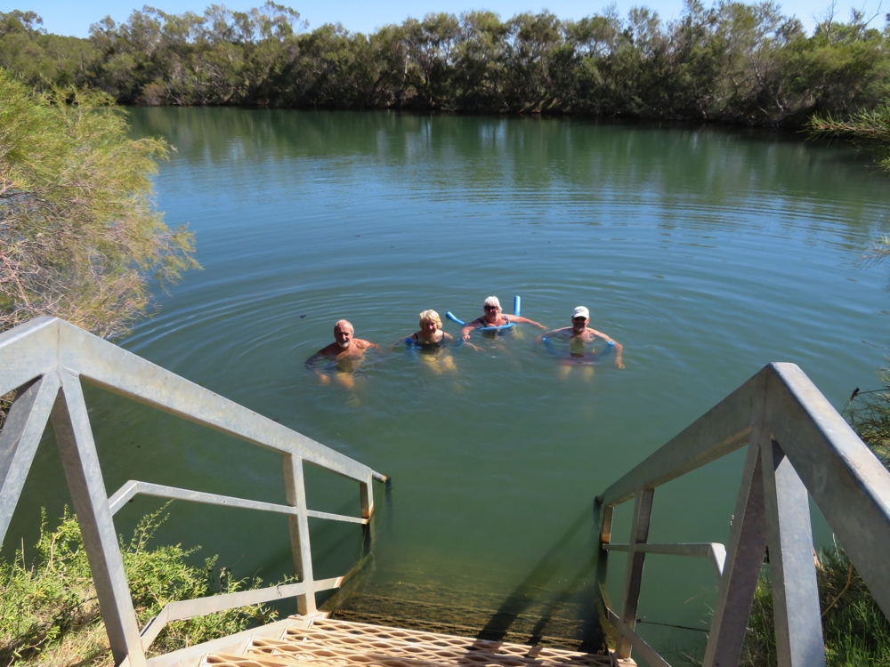
Bacon and eggs cooked on the BBQ was followed by a walk down to the Big Hole. Wow it’s quite beautiful! A lovely big pool you can swim in (too cold!) in an idyllic setting. I can see why it is so popular.
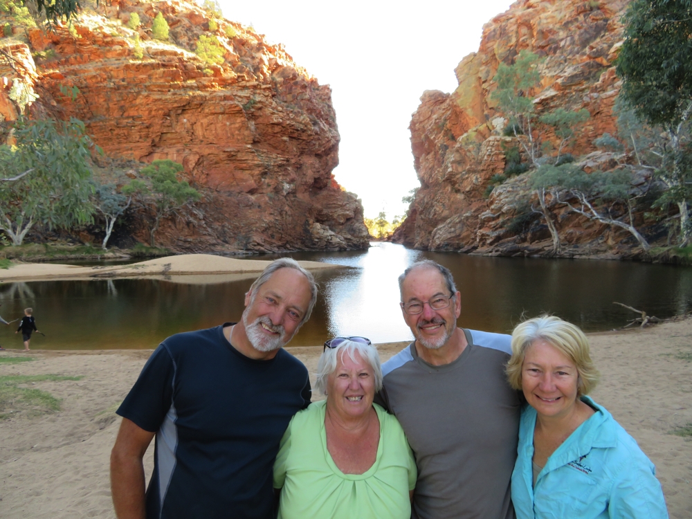
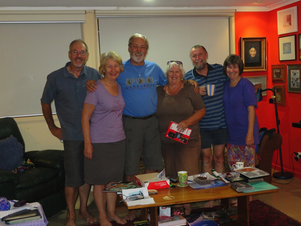
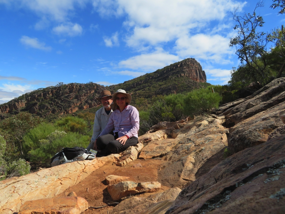
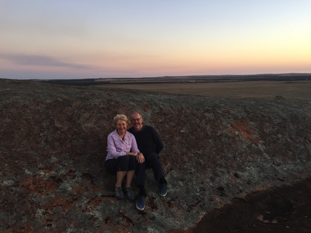
The four intrepid travellers at Ellery Big Hole
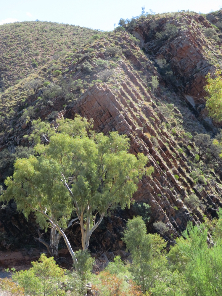
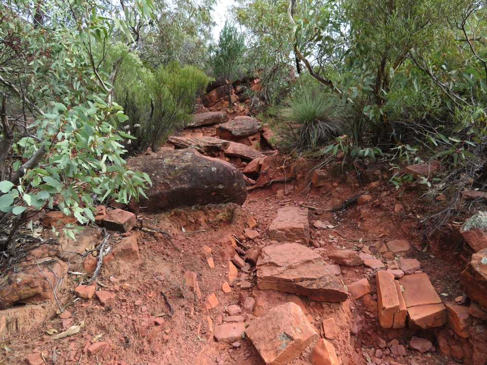
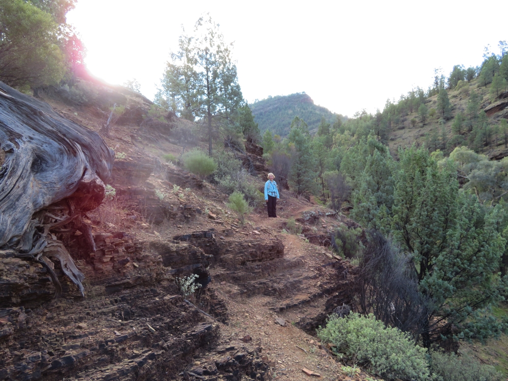
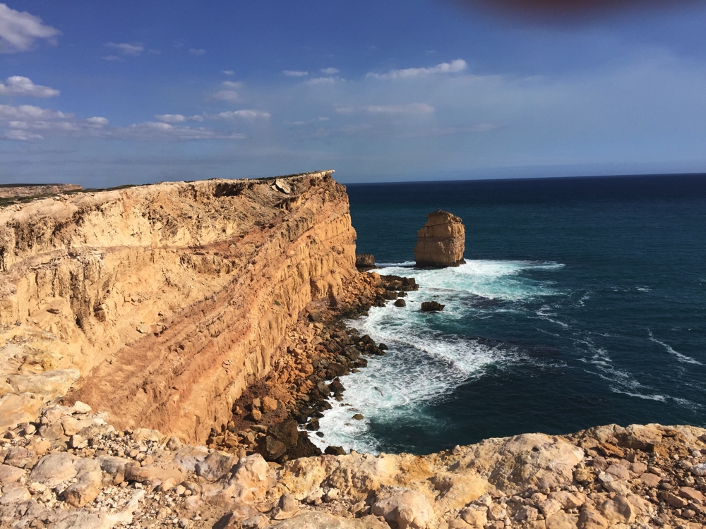
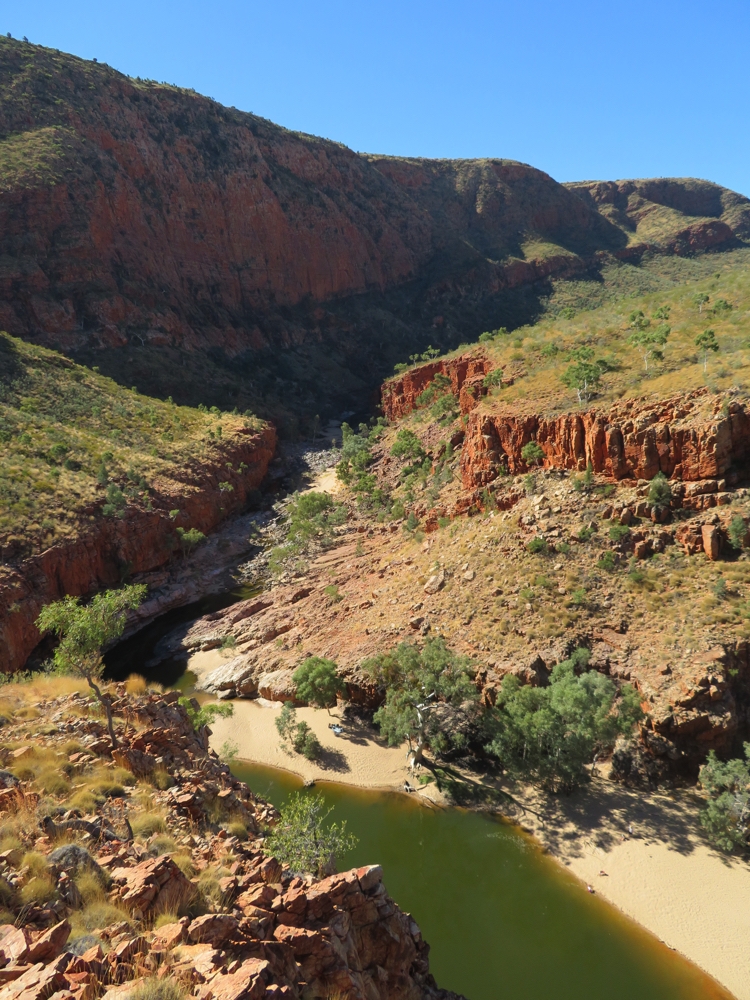
Next stop was Serpentine Gorge. The road in was a bit sandy and rocky in places. This is another very pretty gorge, though no swimming here. The permanent pool prevents animals from crossing through to the other side which now has a unique and well protected flora and fauna. A steep walk up to a Lookout is well rewarded with views back down into the Gorge and to the eastern side of the range. This is truly beautiful country.
Overlooking Serpentine Gorge.
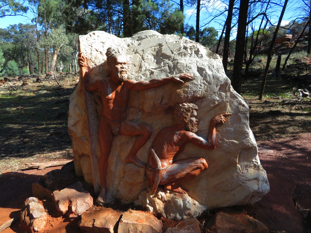
The ochre pits is the next stop. Ochre has been mined here for thousands of years and is still used by the local indigenous people in their ceremonies. Other than for their use, it is forbidden to touch the ochre.
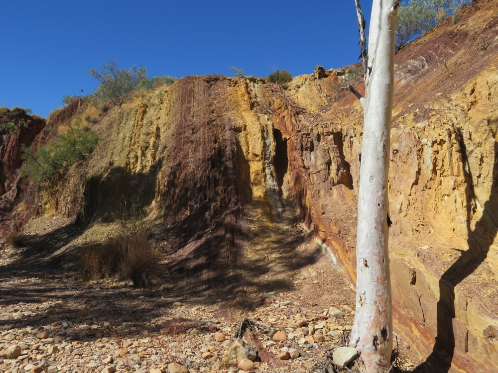
This photograph shows the colours of the ochre – even more beautiful in real life. Ochre Pits
Moving on we came to Ormiston Gorge. Steve and I did the walk up to the Lookout while Wendy and Ken walked down to the pool. I know I’ve written it before, but I’m afraid I have to say it again – truly beautiful, stunning country. We were here two years ago when we walked the Larapinta Trail with Trish and Bryan, so we’ve seen these Ranges and gorges before. They are so spectacular that I would gladly come back any number of times to see them again. The camping ground at Ormiston Gorge was packed – luckily that’s not our destination!
Looking down into Ormiston Gorge.
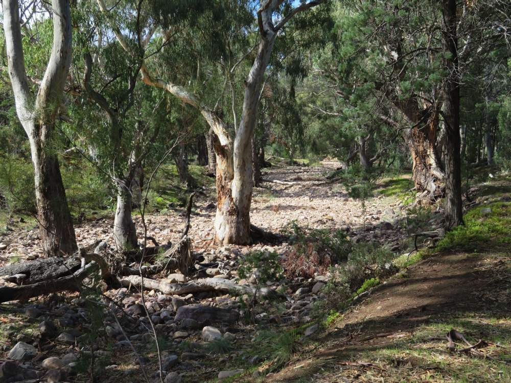
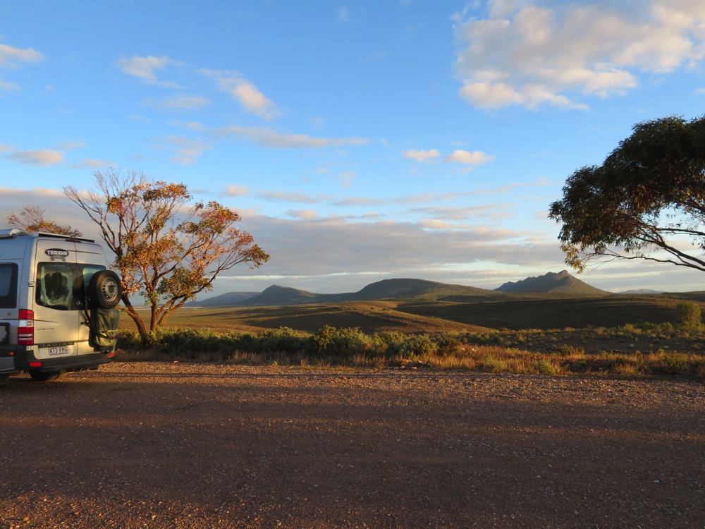
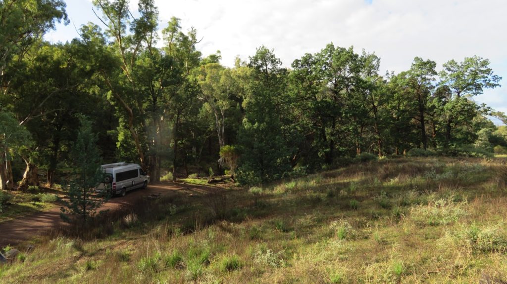
We headed further on to Finke River 2-mile campsite (a freebie, no facilities). A narrow, twisting 4WD track led in about a kilometre to the very rocky (ie nothing but rocks) creek bed of the Finke River. There’s plenty of water in it (by arid remote area standards that is) with wading birds perched on old logs and walking in the shallows catching fish. The Finke River is the oldest river in the world having not changed its course for 300 – 400 million years.
We BBQ’d our meals on Ken’s patent-pending ex-gas cylinder wood-fired BBQ and enjoyed a magnificent sky just bursting with stars.
Saturday 20th
Big day today – too big!
We meandered about 50 metres down the main road to Glen Helen Gorge and resort. A pleasant stroll along the banks of the Finke River with its massive overhanging red cliffs brought us to the pool in the gap between the ranges. Beautiful.
Glen Helen Gorge.
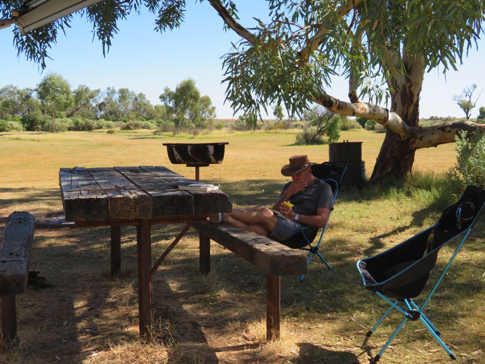
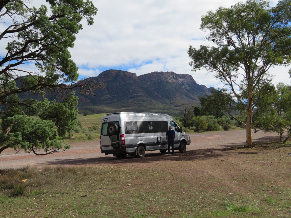
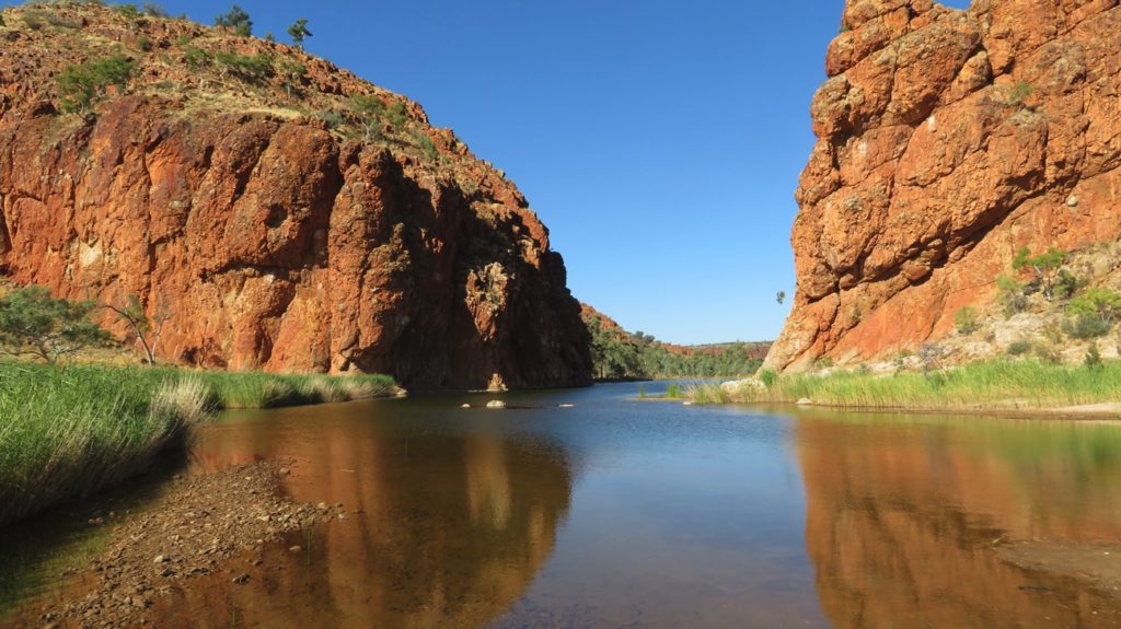
Back to the resort where we made good use of their free wifi before heading off to Redbank Gorge. This is the last of the gorges in the West McDonnell Ranges and is also the starting point for the Mt Sonder walk. Not this time; been there, done that! Wendy, Ken and I did, however, do the 2.5 km return walk to see Redbank Gorge. (Steve is not well today). This was not an easy walk. We were either walking in soft, loose river sand or rock-hopping over boulders as we got closer to the chasm. Once more it was quite beautiful – this one has a large pool leading to a narrow chasm at the far end which you could swim up to and through. Next time I’ll bring my bathers – it looks very inviting
Redbank Gorge.
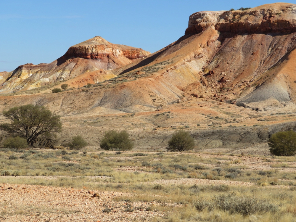
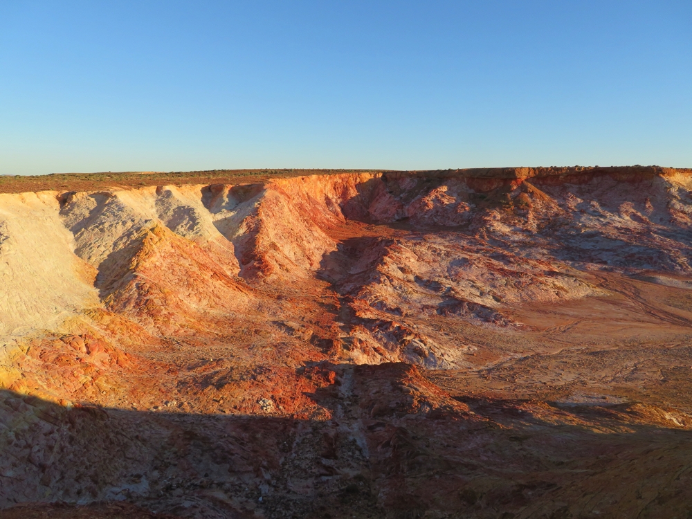
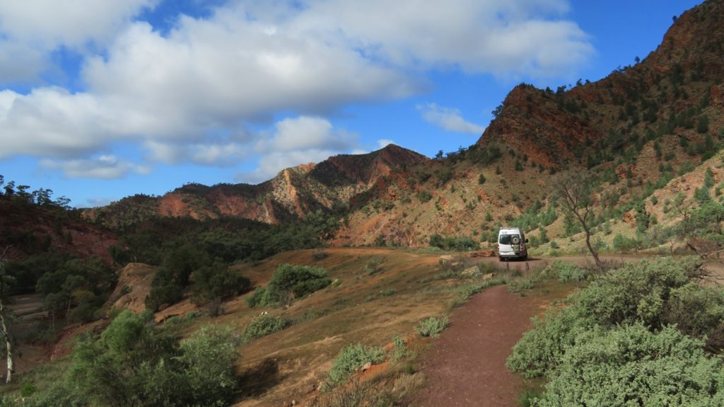
Continuing on we stopped at Tyler’s Pass which has views out to Tnorala/Gosse Bluff, a crater formed by a crashing comet some 140 million years ago.
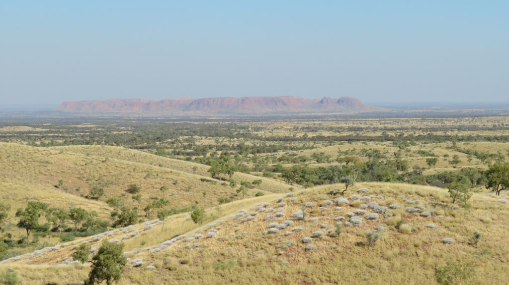
Gosse Bluff crater from Tylers Pass.
The aboriginal creation story tells of how some women in the sky were dancing and one put down her baby in its cradle, but the cradle fell to earth forming the crater. About 20km further on is the turnoff that takes you into the crater. It’s a 6km trip in – the first 4 being over soft sand covering corrugations, the last two km – rocks! We did a short walk around inside the crater and Ken scaled a hill to take some photos for us.
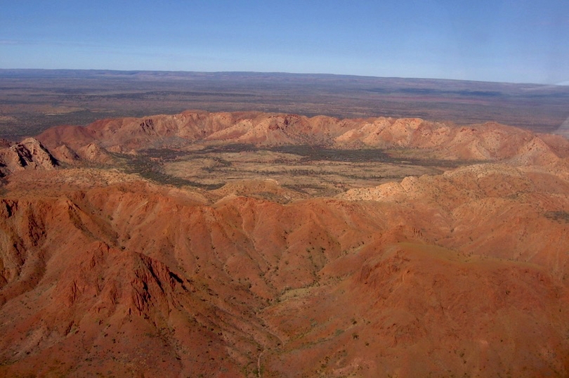
Gosses Bluff Crater – with thanks to wiki commons
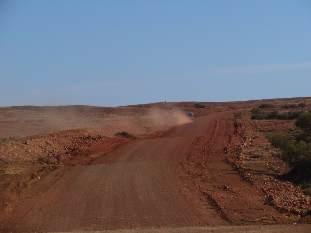
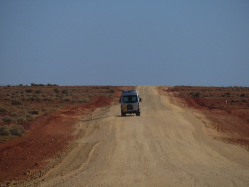
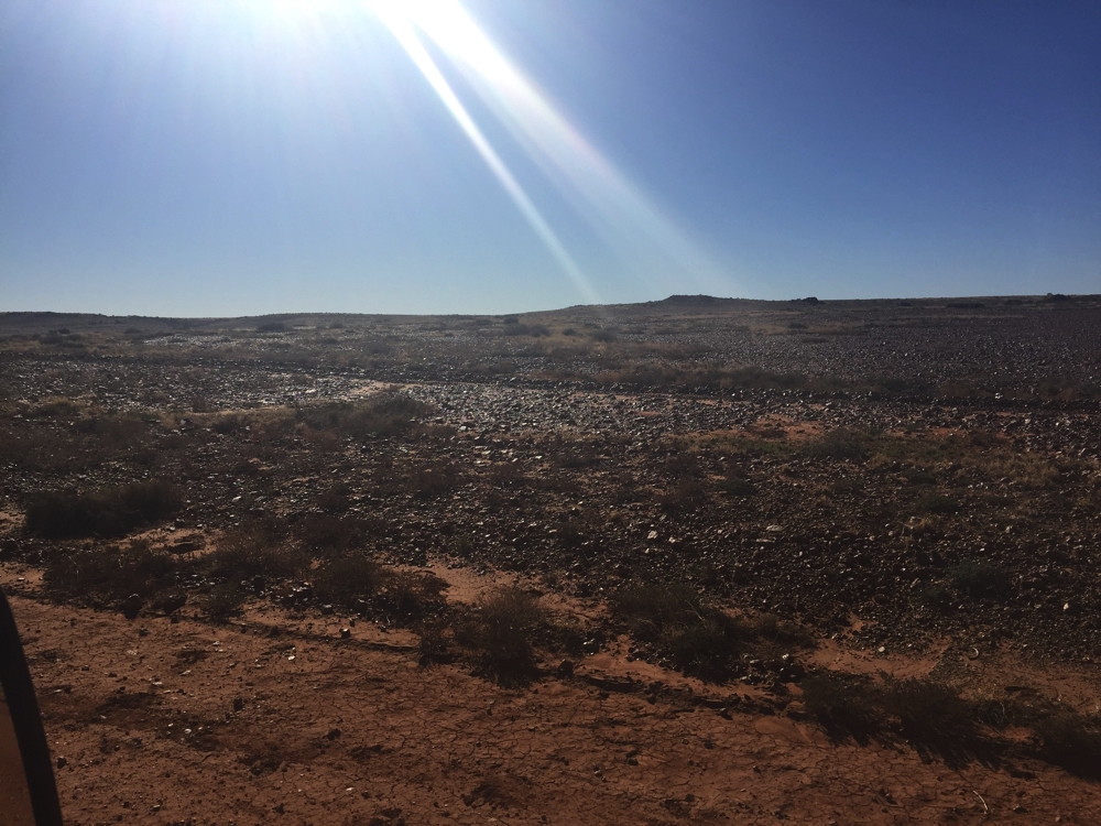
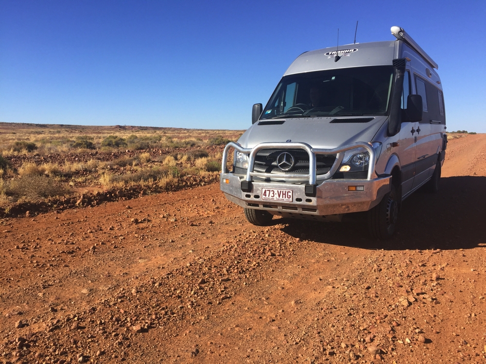
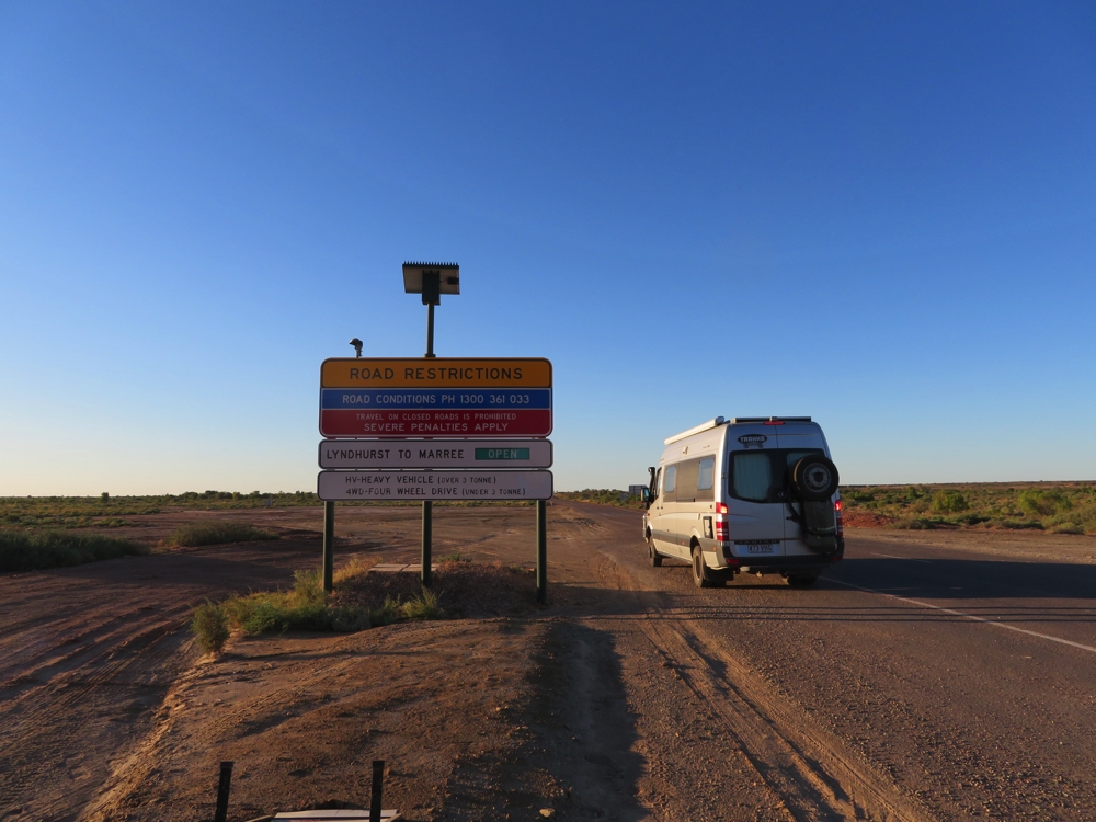
Back onto the main road and we stilll have 125km to our selected campsite. After just a few kilometres the blacktop ended and we’re now travelling on some of the worst corrugations we’ve come across – and it’s getting late!
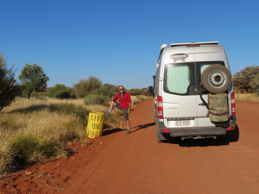
The famous ‘Lift Um Foot’ bend. It was very good advice as the road deteriorated rapidly after this.
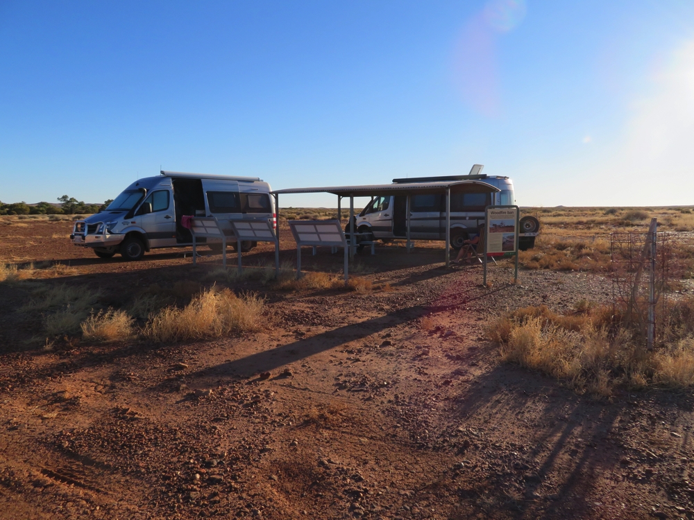
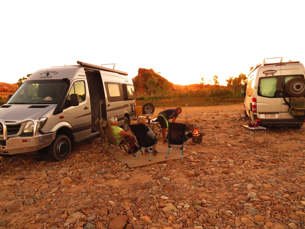
We persisted for about 75 km until Ken spied a little track off to the side of the road, marked by a defunct washing machine, where we both happily got 100 metres off the road and set up camp for the night. It was exhausting motoring, not able to take your eyes off the road for a moment
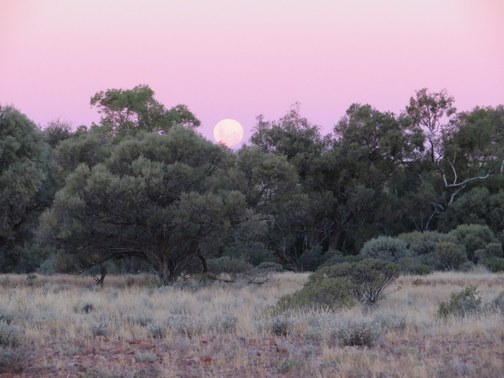
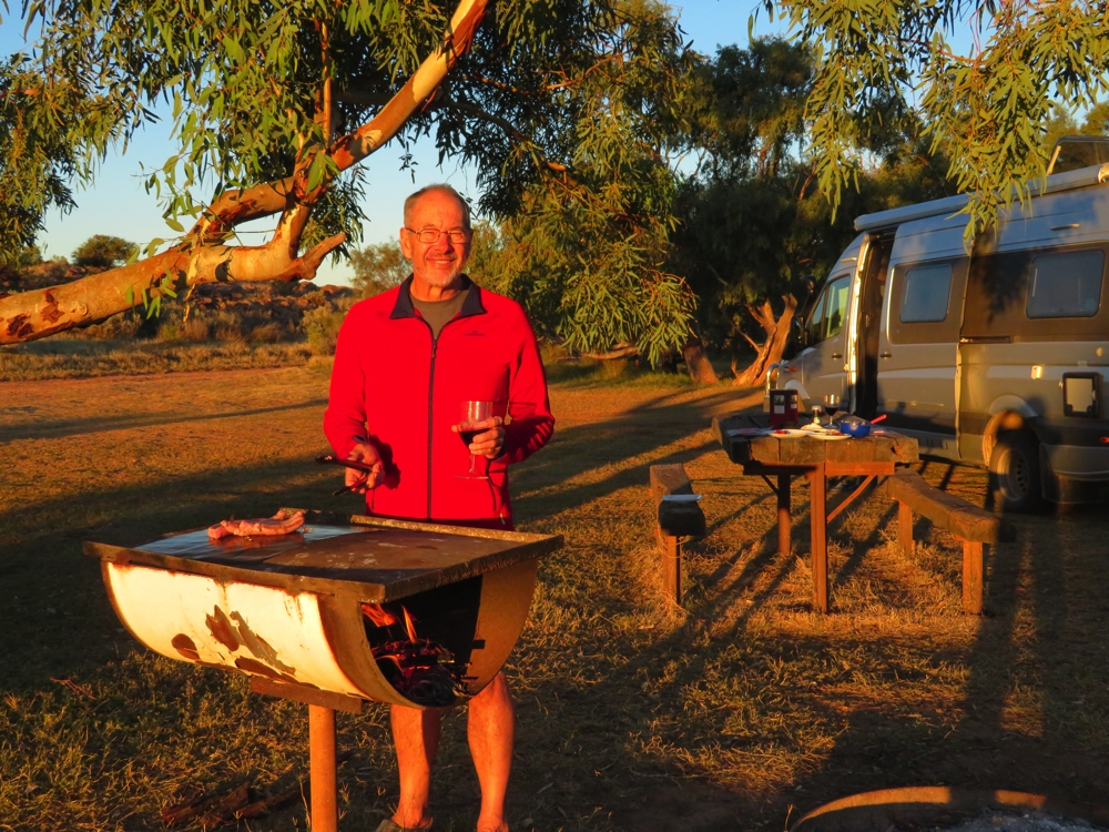
Steve, bless him, had cooked us all a Dreampot roast, and Ken set a fire going in his fire pot. We watched another sunset followed by a sky with stars touching the ground in every direction – no moon, and no lights.
Sunday 21st
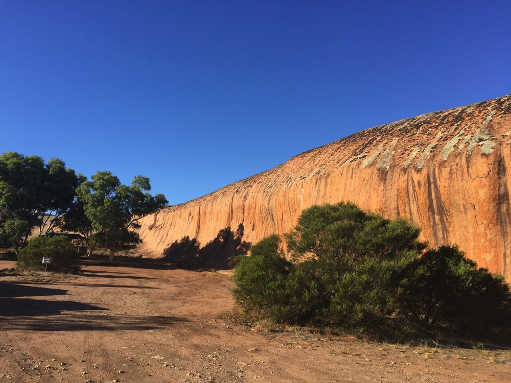
Today’s goal is the rim walk at Watarrka/Kings Canyon. The ascent to the rim is pretty brutal, but once there the views into the canyon were worth every rocky step. We took lots of photos – I hope they do it justice. It’s a 6 km walk, with another km to the lookout. It took us a leisurely 2.5 hrs.
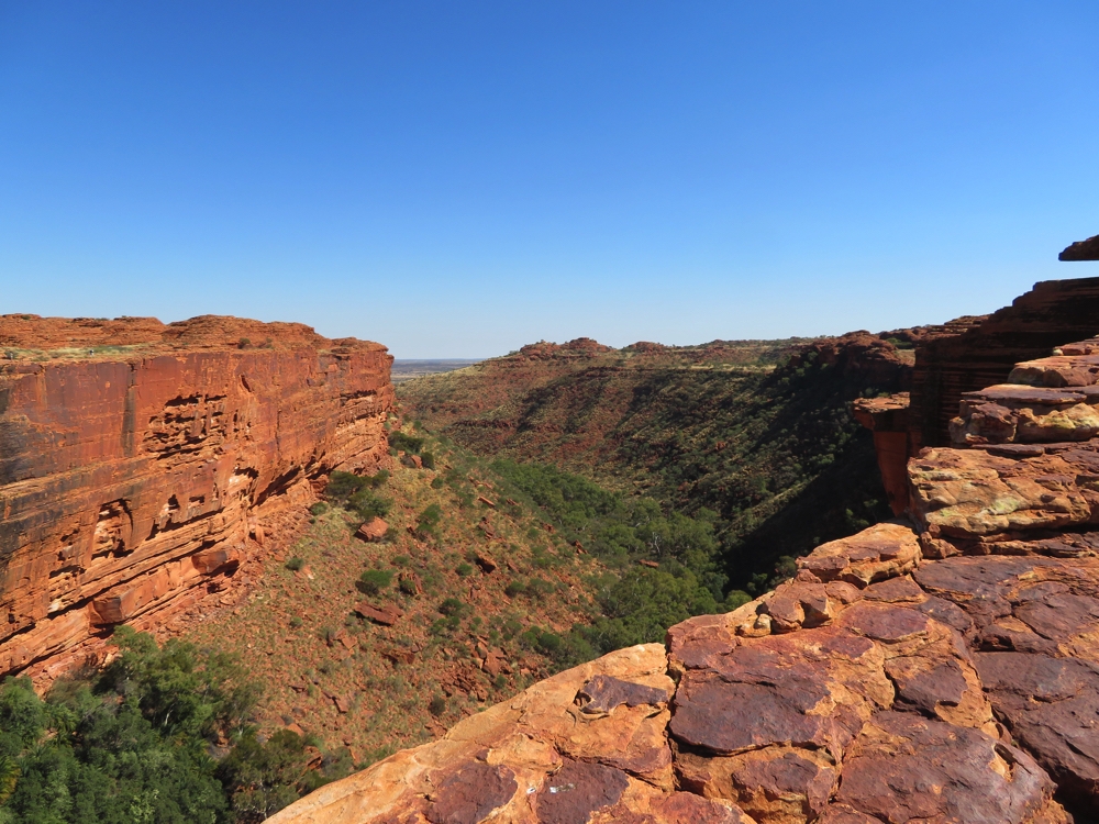
Watarrka – Kings Canyon
Tonight we’re camped at another freebie where the Ernest Giles Rd meets Lurinja Rd, not far off the road. This campsite is memorable for being covered in prickles! No one else here and once more a spectacular night sky.
Monday 22nd
It’s Wendy’s birthday today and an easy day. We stopped at the Mt Conner lookout, otherwise known as Fooluru. This mountain is on Curtin Springs Station and is a very sacred mountain for aboriginal men as it forms part of their song lines.
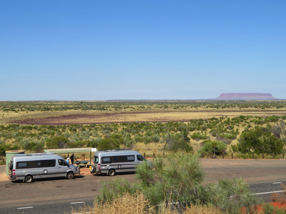
Mt Conner in the background.
Curtin Springs has fuel, a licensed snack bar, an open-air restaurant, free camping and a shower block with no doors, just curtains! I showered in the van! The camping area was packed by late afternoon.
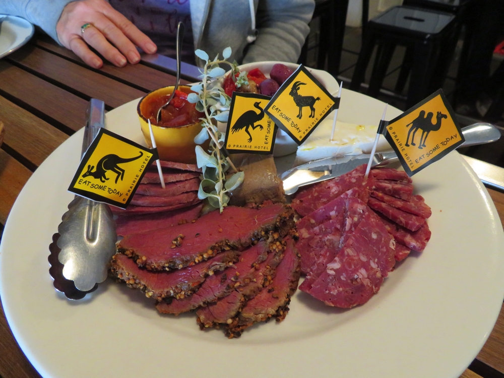
We had dinner at the restaurant to celebrate Wendy’s birthday.
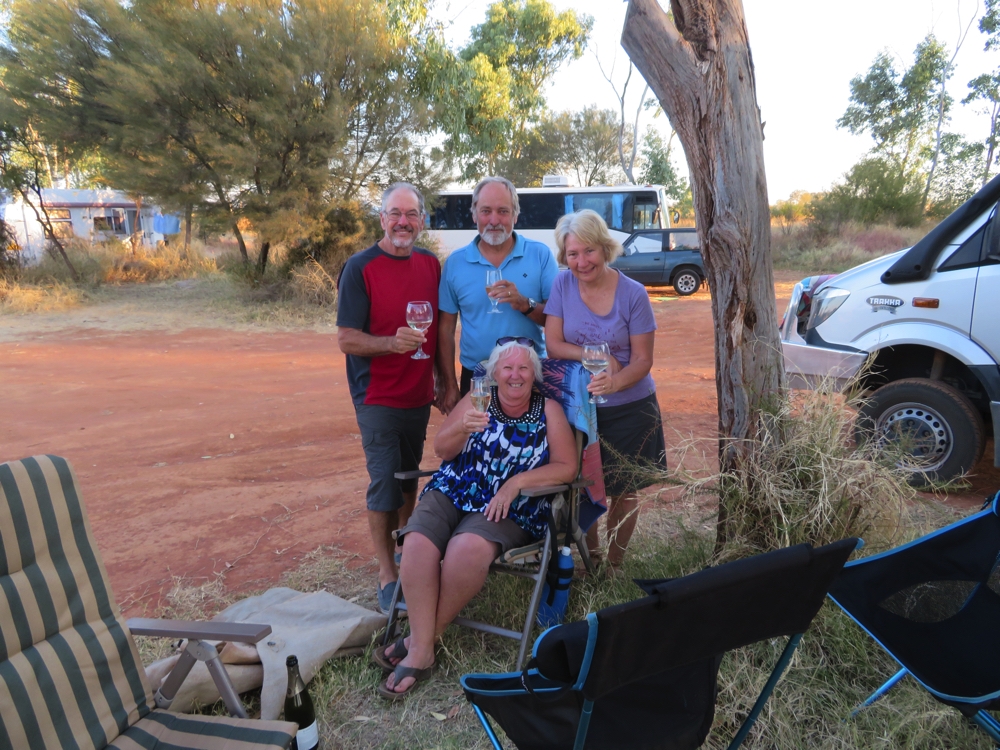
Happy birthday Wendy – at Curtin Springs.
It’s on to Yulara for us tomorrow and the end of the Red Centre Way. Definitely an enjoyable loop I’d recommend to anyone whose vehicle can survive those rotten corrugations.
For more photographs of our adventures on the Red Centre Way CLICK HERE.