1st – 7th April 2017
Saturday 1st
After a quick restock in Port Lincoln we headed to Coffin Bay. I was pleased to see that it was Flinders who named this location after Admiral Coffin, and not that it got its name for some other macabre reason.
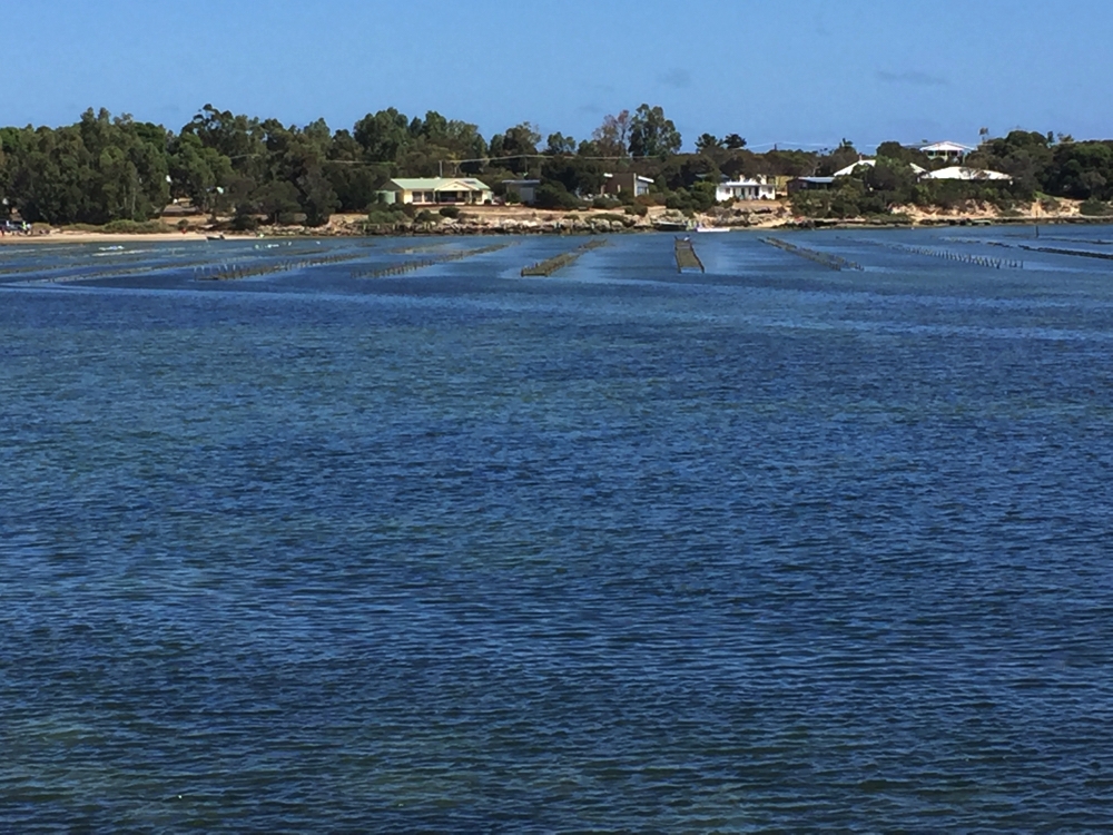
Across the oyster beds to Coffin Bay township.
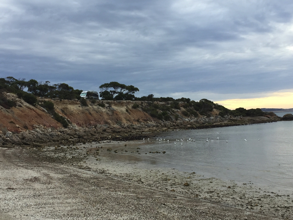
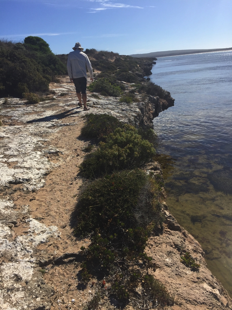
Coffin Bay is a fisherman’s dream come true – 20 kilometres of protected seaways and apparently an abundance of sea creatures to be caught. Not being particularly interested in that aspect, other than when our lovely neighbour at the caravan park gave us some freshly caught and filleted fish, we cycled (illegally) the Oyster Trail for 6 km along the foreshore before heading out to dinner at 1802 Oyster Bar. We both had oyster entrees. Steve’s were pistachio-crumbed grilled oysters, mine were natural in gin and tonic – talk about heaven!
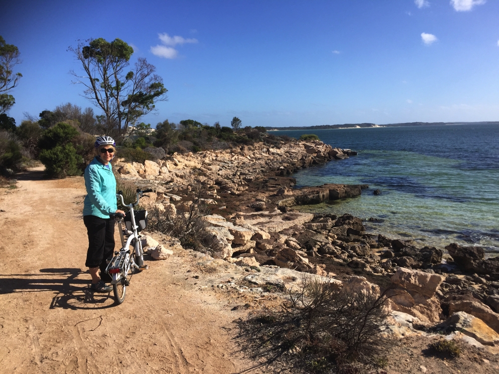
Lovely bike ride (even if we shouldn’t have been riding!). Coffin Bay Oyster Trail.
Sunday 2nd
This morning was a walking day – we walked to the lookout then the other direction of the Oyster Walk (from yesterday’s ride) – about 8 km. Oysters were originally dredged, which unfortunately led to their near extinction by the end of the 19th century. In 1969 the Japanese Pacific oyster was successfully trialled and that is now the predominant oyster grown here, though there are attempts to reintroduce the native Angasi oyster.
As it just so happened we had to walk past 1802 Oyster Bar on our way back – I felt I’d earned another half-dozen gin and tonic oysters!
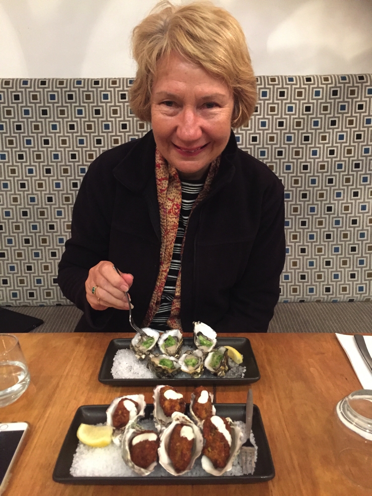
These were the most amazing oysters ever! Coffin Bay
In the afternoon we practiced changing the tyres on the motorhome. With our remote outback travel drawing ever closer we wanted to be sure we had the right equipment.
Monday 3rd
Before leaving Coffin Bay we took a drive into the National Park, went for a run on the beach, then headed north along the west coast of the Eyre Peninsula.
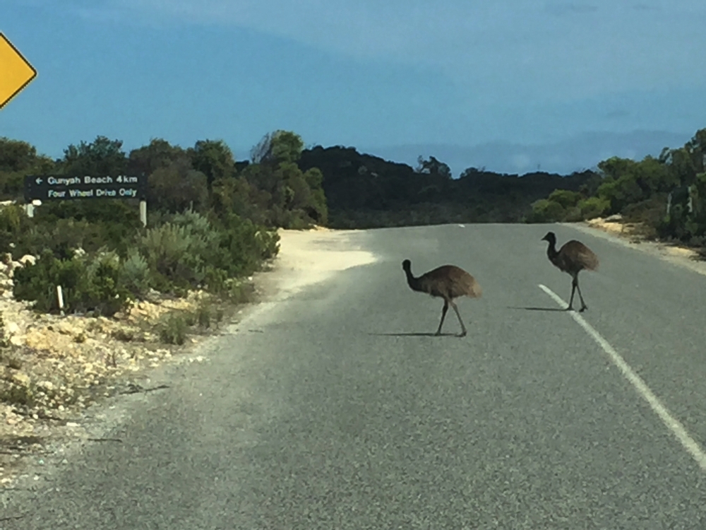
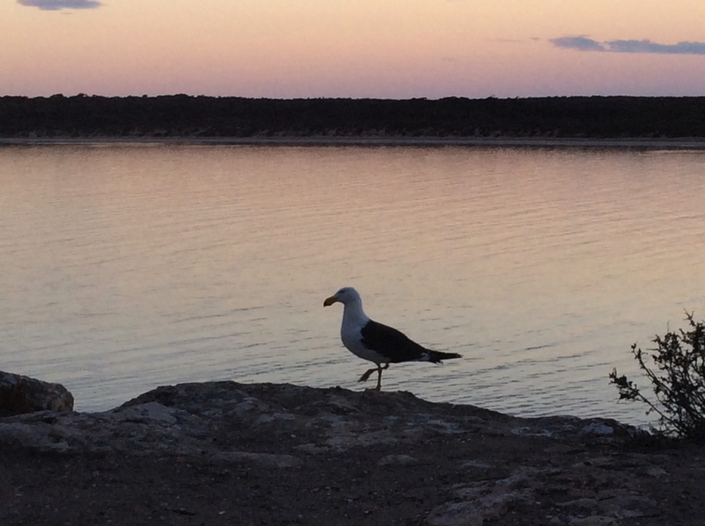
These pedestrians were in no hurry to cross the road. They know what it means to live in a National Park, at Coffin Bay.
To see the photos we took in the Coffin Bay area CLICK HERE.
The countryside is mostly grazed by sheep or cattle with some wheat. At the moment it’s looking very brown – goodness knows what the sheep are eating. We also passed several dry salt lakes, one large salt lake with water and lots of very, very rocky fields. Not inspiring countryside.
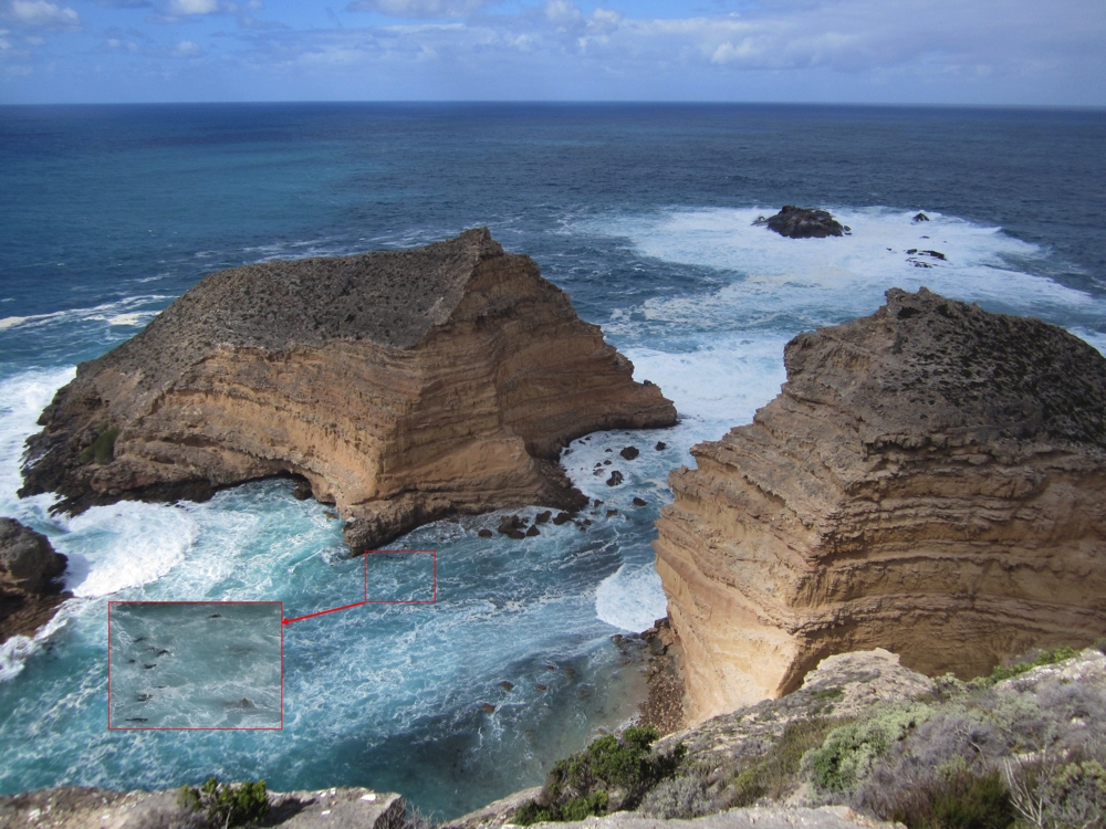
Lunch stop was at a pretty spectacular lookout – the Leo Cummings Memorial Lookout. The outlook is over the cliffs to the Bight. The Great Australian Bight begins at Cape Carnot, which we saw on the Whalers Way, and is believed to be the longest line of sea cliffs in the world, running more than 1,100 km. The relentless pounding of the ocean against the crumbling limestone cliffs is frighteningly awesome.
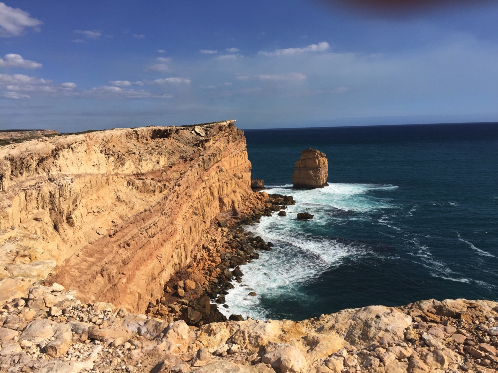
Stunning coastline of the Great Australian Bight as seen from Leo Cummings Lookout.
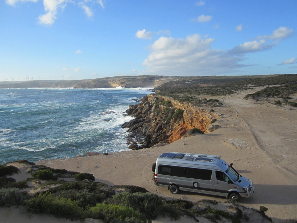
Would you believe it, when we arrived at our campsite at Walkers Rocks, our front passenger side tyre was rapidly deflating!
Tuesday 4th
It was late when we got in so left the tyre changing until this morning. Despite yesterday’s preemptive practice we ran into a few hitches – one jack can’t lift the vehicle high enough to put the new wheel on. We had to use two jacks – luckily Steve always carries a spare!
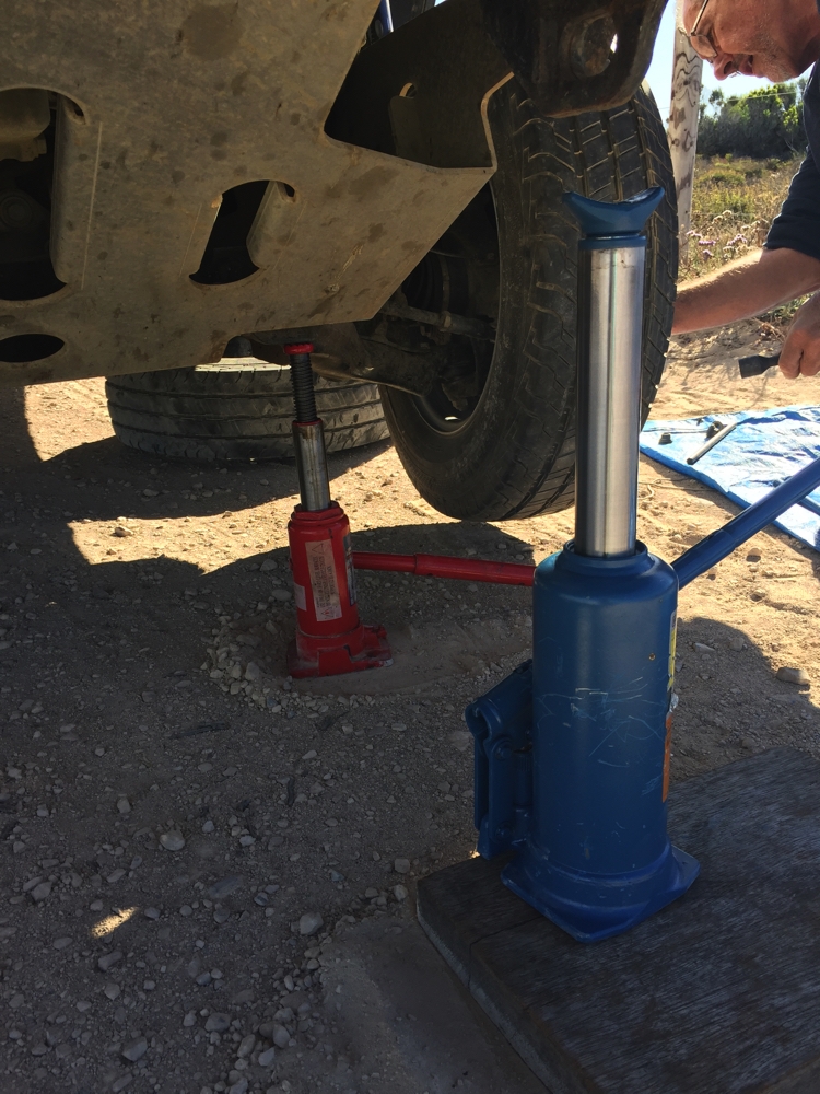
Bit tricky to get the motorhome high enough to change the wheel. Two jacks did the trick.
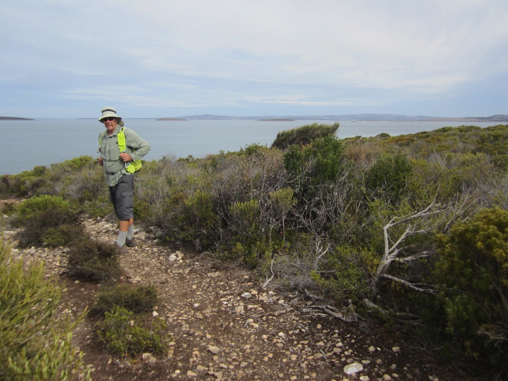
That done we took a long refreshing 5 km walk along the beach before setting off for Venus Bay. Here we’d planned to spend the night at the caravan park. No way – the park was full and vans were so close you could hear the person next door change their mind. We stopped in a beachside park for lunch, then did the 2.5 km South Head Walking Trail which took us along the very pretty bay side of the headland and up over the top to the rugged ocean side with its imposing cliffs. Lovely walk.
Quite an attractive walk around the headland at Venus Bay. This is the calm side.
Venus Bay township itself though is little more than the caravan park and a cluster of small holiday shacks, mostly without lawns, trees, gardens or any other landscaping – in other words, if you don’t want to fish then Venus Bay is not for you.
Continuing on we arrived in Streaky Bay late afternoon and booked into a new caravan park on the north side of town. Talk about flash! Very large sites, tiered up the hill so everyone has ocean views, a licensed shop, lovely rec room, laundry trolleys to take your washing to the line, and the piece de resistance – the ablutions block has lots of little separate bathrooms, each with its own toilet, shower and handbasin.
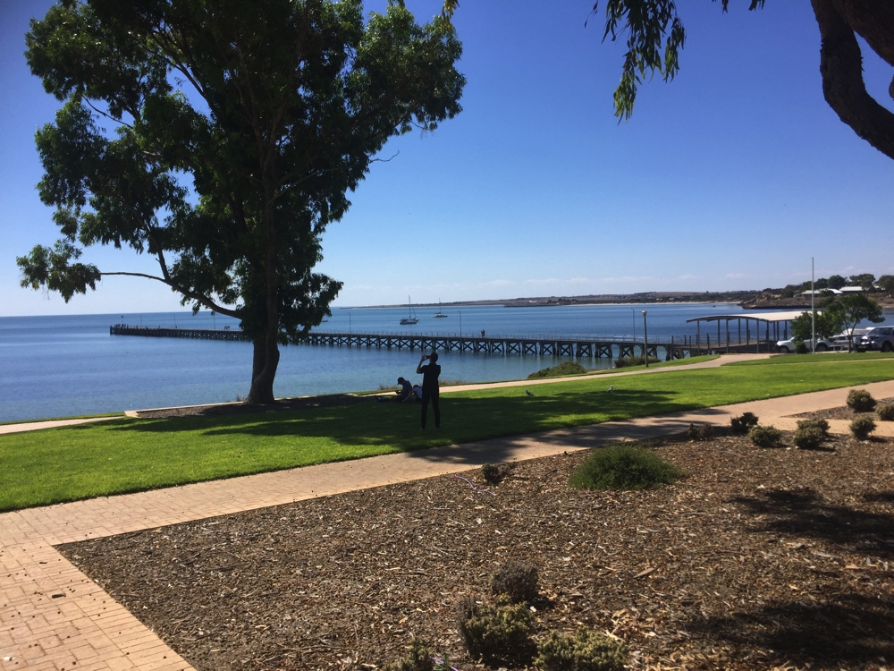
Very pretty foreshore and jetty at Streaky Bay.
Wednesday 5th
Streaky Bay is a pretty little town with a lovely foreshore, jetty and facilities – and good internet! We stayed there for a while catching up on personal admin before beginning the trip across the central part of the Eyre Peninsula.
CLICK HERE to see the photos we took as we followed the western coastline of the Eyre Peninsula.
Back into wheat and sheep country. The fields are ploughed and farmers awaiting the first rains before they plant next season’s crop – a fairly stark drive to the tiny township of Minnipa then on to the free camp at Pildappa Rock. On the way though we passed through Poochera, famous for its Dinosaur Ants! (See the photos linked to later to read about them.)
Pildappa Rock is a granite ‘wave rock’ and quite stunning as it rises out of the flat countryside that surrounds it.
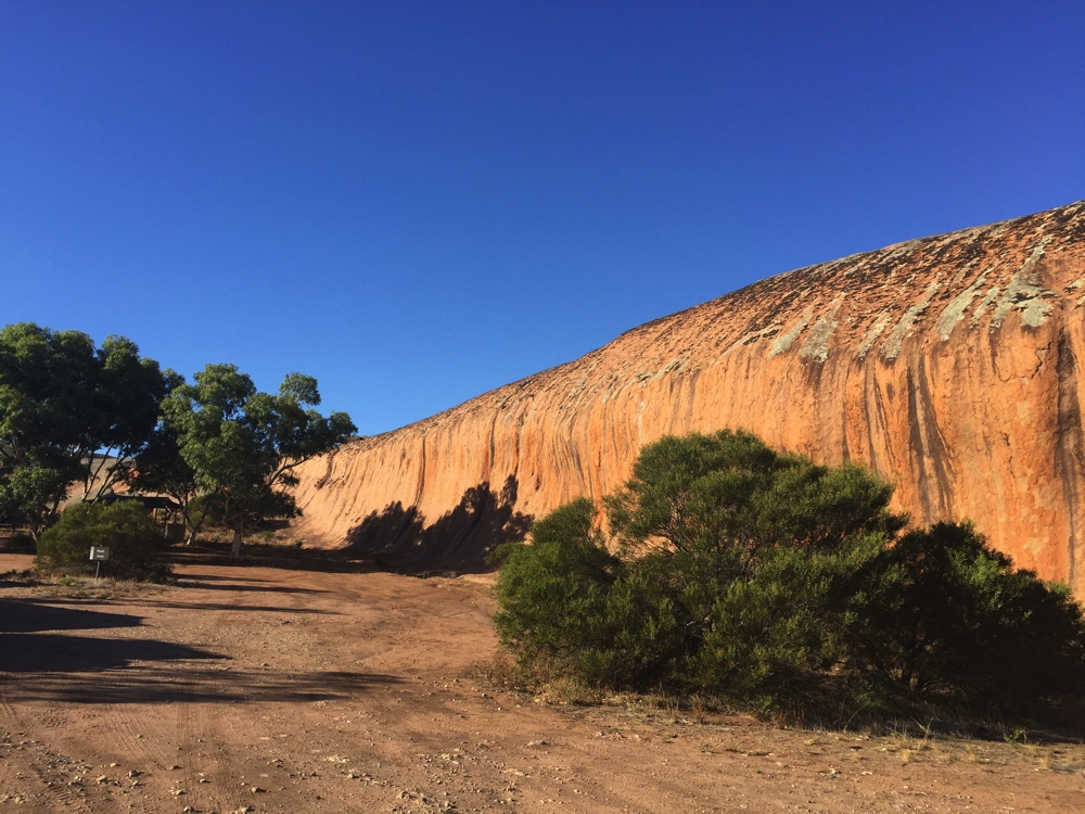
The wave-like effect of Pildappa Rock.
Late afternoon we climbed it to enjoy the view over the wheat farms to the Gawler Ranges. The surface of the rock had many ‘basins’ of all sizes on its surface. Being granite these, of course, would hold water after rain but as it hasnt rained for ages down here they’re all dry. We were admiring the view when a couple of heads suddenly popped up from one of these basins – Rod and Maree, other campers, were sheltering from the wind in one of the basins and invited us to join them. It was plenty big enough for us all. We sheltered with them until time for the obligatory sunset photos.
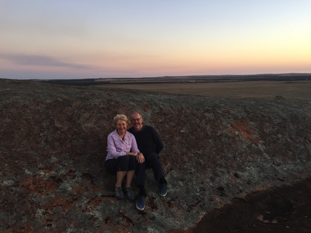
In the ‘basin’ on top of Pildappa Rock at sunset.
Thursday 6th
Not a happy day today! We headed off to the Gawler Ranges to see the Organ Pipes rock formation. The dirt road was pretty good, corrugated in places, until we got into the National Park, then it deteriorated quickly to rocky with tough mallee roots coming in from the sides. The rangers had made detours around the worst patches, but we unfortunately caught the sharp end of a mallee root into the side wall of one of our rear tyres. Damn!
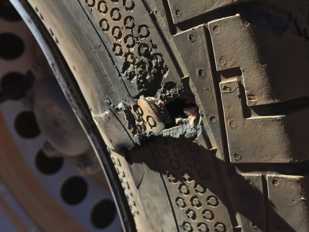
Damn! And damn again!
We are a well-oiled machine at tyre changing now! However, we no longer have a spare. With that in mind we decided not to continue along this road, nor do the scenic road through the park to the far side. Damn again!
However all was not lost. Just as we’d finished the tyre change along came Rod and Maree and offered to take us the 3km remaining of this road to see the Organ Pipes. One consolation, the road continued to get worse, so a good decision by us not to risk it. The Organ Pipes were very interesting, just hard to get too excited when we were both so preoccupied by thoughts of tyres.
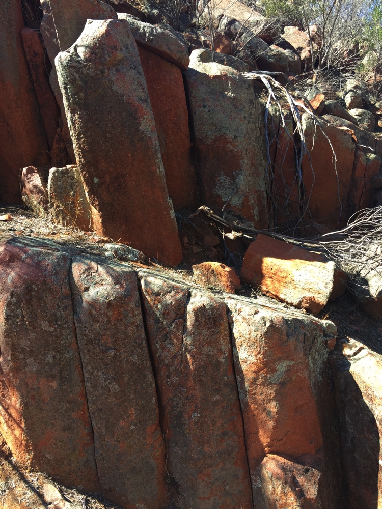
The ‘pipes’ were pretty interesting.
Back at Priscilla and before they left us Rod and Steve had a cold beer and Maree and I had home-brewed (by Rod) Malibu and pineapple slushies – wow, that sure lifted my mood!
Following this we drove on to the little town of Wudinna where we parked in the shade, had lunch and began investigations to change all our tyres to a tougher off-road brand. Of particular note at Wudinna is a very beautiful granite sculpture to the farmers and community of the district.
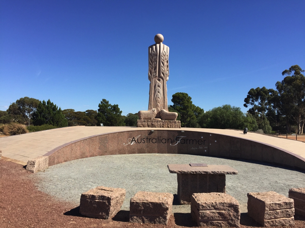
Granite monument to the Australian Farmer. Note the wheat sheaves, the smaller figures representing family and the sheep.
Carrying on we stayed the night in Kimba Lions Park – nope, not a white lion to be seen anywhere – no sense of humour here! A good little free camp in the middle of this small town.
Friday 7th
The saga of the tyres was still consuming us and after numerous phone calls and long discussions to every relevant person or business we could think of we finally came to the conclusion that the Continental truck tyres we have are actually pretty good and we have just been unlucky. Decision made and booked into tyre place in Adelaide to have the two damaged wheels fixed as soon as we can.
Kimba has a few claims to fame; its Big Galah, which I didn’t feel the urge to photograph; being the halfway point between the west coast and the east coast; and its Roora Walk which winds through lovely arid-climate bushland, past several very cute sculptures of animals made from recycled steel up to White Knob where there are clear views for 50km all around – it’s not high, but the countryside is so flat it doesn’t need to be.
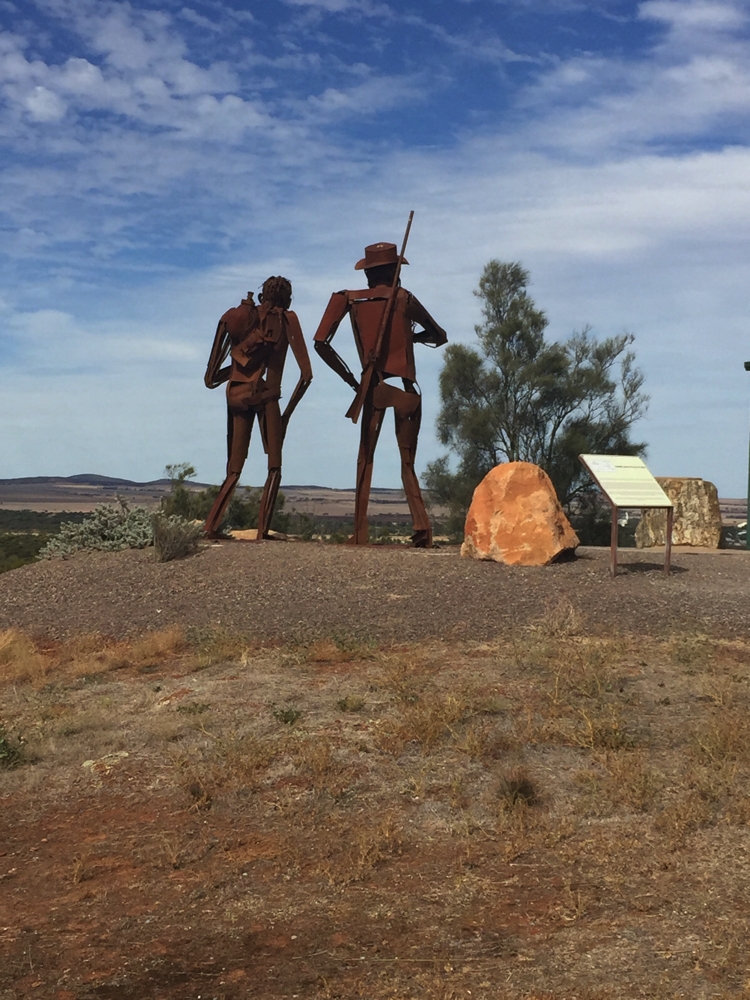
Edward John Eyre and his friend Wylie looking over the countryside they’re yet to explore. At Kimba.
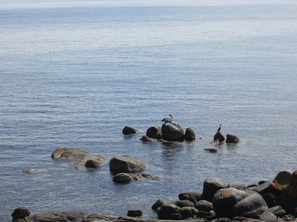
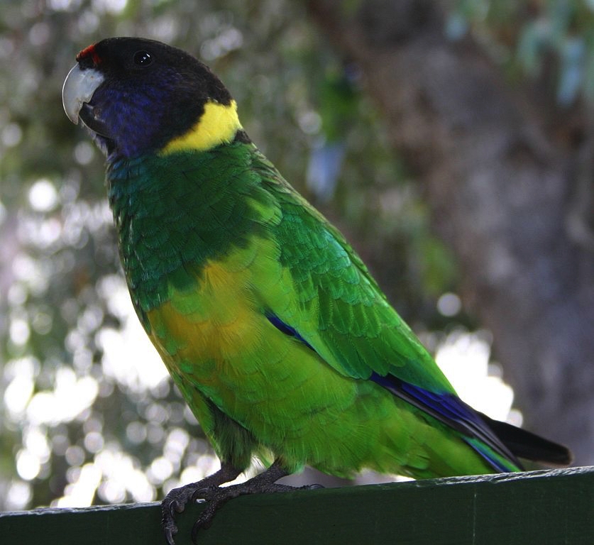
Also up here are the quite famous steel sculptures of Edward John Eyre and his indispensable indigenous friend and guide, Wylie. Eyre is the first white explorer in this area and right across the Great Australian Bight. The return walk was about 6.5km. CLICK HERE to see some of the fauna we saw along the walk.
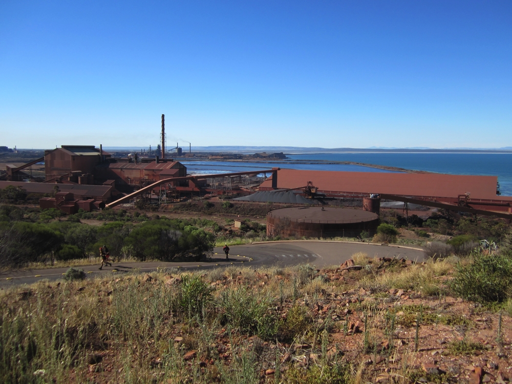
Back at the motorhome we moved on to Iron Knob. As you drive towards town the iron ore quarry greets you, followed by decrepit houses. This is a very sad town. Iron Knob is said to be the birthplace of Australia’s steel industry. Quarrying for iron ore commenced here in 1900, with the very high quality ore being sent to the steelworks in Port Kembla, Newcastle and Whyalla for either processing or exporting. Mining operations, however, closed down in 1998 and Iron Knob very nearly became a ghost town, only saved by the comparatively very low housing prices. 15 years later, in 2013, mining was resumed, though only for the next 10 years. The townspeople have developed a tourism business by creating a great free camping area, which we’re now in, running mine tours and having a unique golf course.
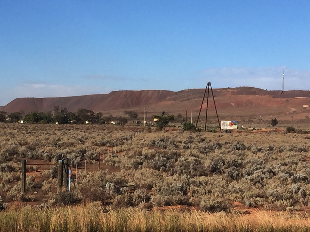
Looking over the tiny township of Iron Knob to the tailings of the iron ore mine behind.
We complete our circumnavigation of the Eyre Peninsula back at Port Augusta.
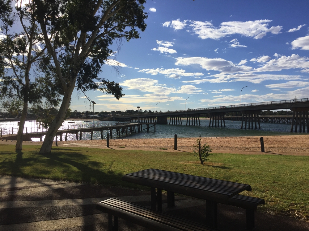
A lovely park at the very tip of Spencers Gulf at Port Augusta.
For a look at all the photos from the Central Eyre Peninsula CLICK HERE.