Thursday 2nd to Wednesday 8th March
Thursday 2nd
Lake Hume was formed when the Murray River was dammed. Construction of the dam took 17 years between 1919 and 1938. Lake Hume is estimated to hold six times the volume of water in Sydney Harbour. It’s purpose includes flood mitigation, hydro-power, irrigation, water supply and conservation, as well as provided an ideal venue for water-based recreational activities.
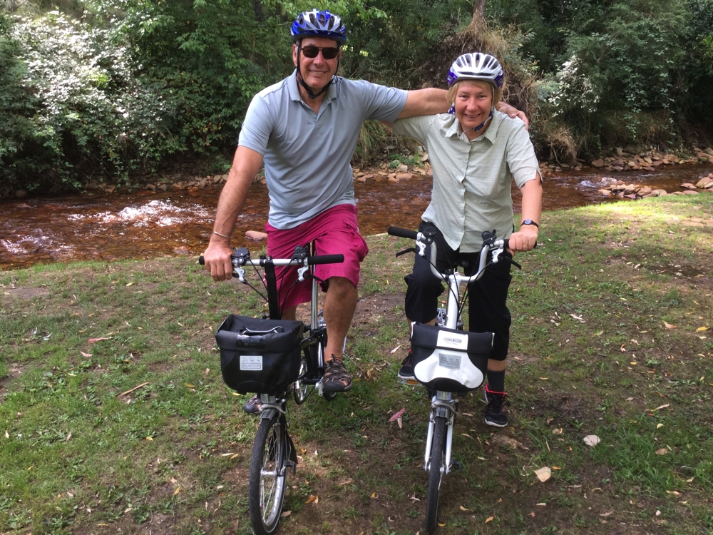
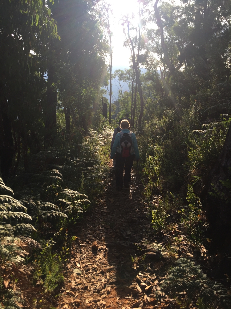
Ludlow Reserve is a campsite on Lake Hume, about midway along the High Country Rail Trail that goes from Wodonga to Tallangatta following the lake; a return trip from here to Tallangatta of about 40km. Out came the Brompton’s and we saddled up to ride it.
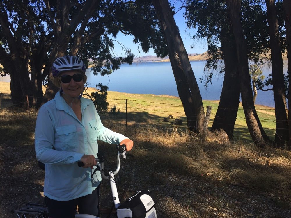
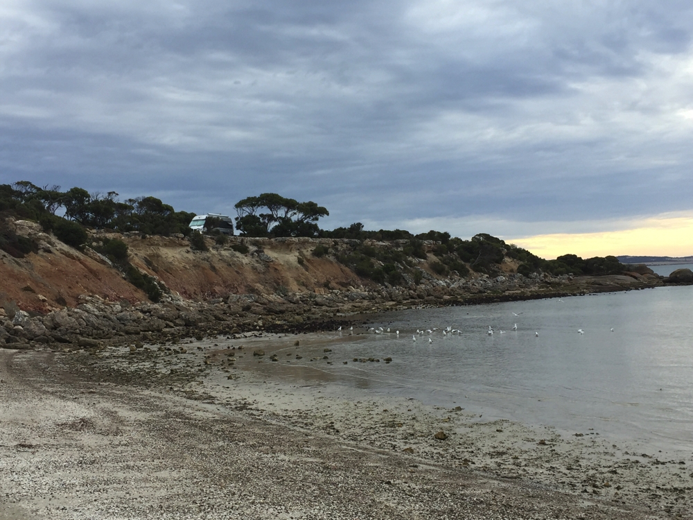
Cycling the High Country Rail Trail with Lake Hume in the background.
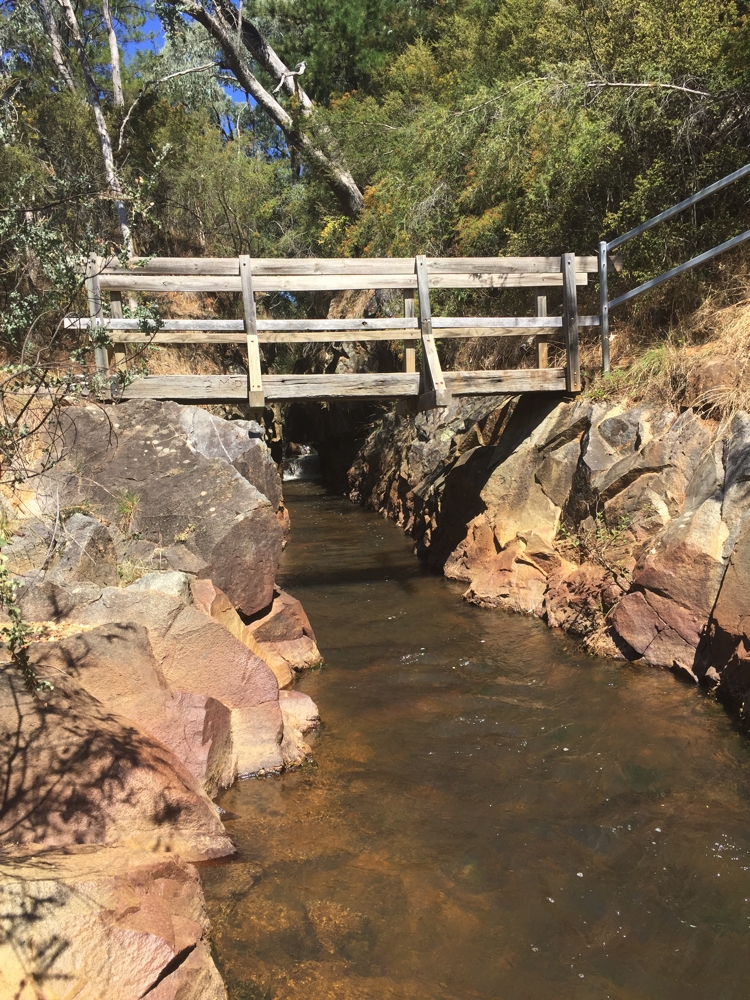
It’s a good Trail with a mix of shade and sun, long slow ascents and descents, partly gravel, partly single-lane bitumen – the gravel sections requiring a lot of concentration. A highlight (other than the brekkie at Sconned & Jammed in Tallangatta) was the bridge over Sandy Creek – an impressive sculpture!
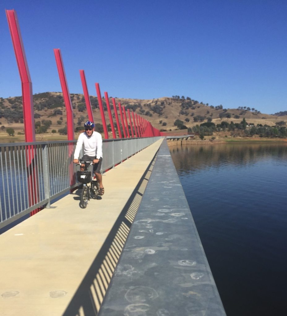
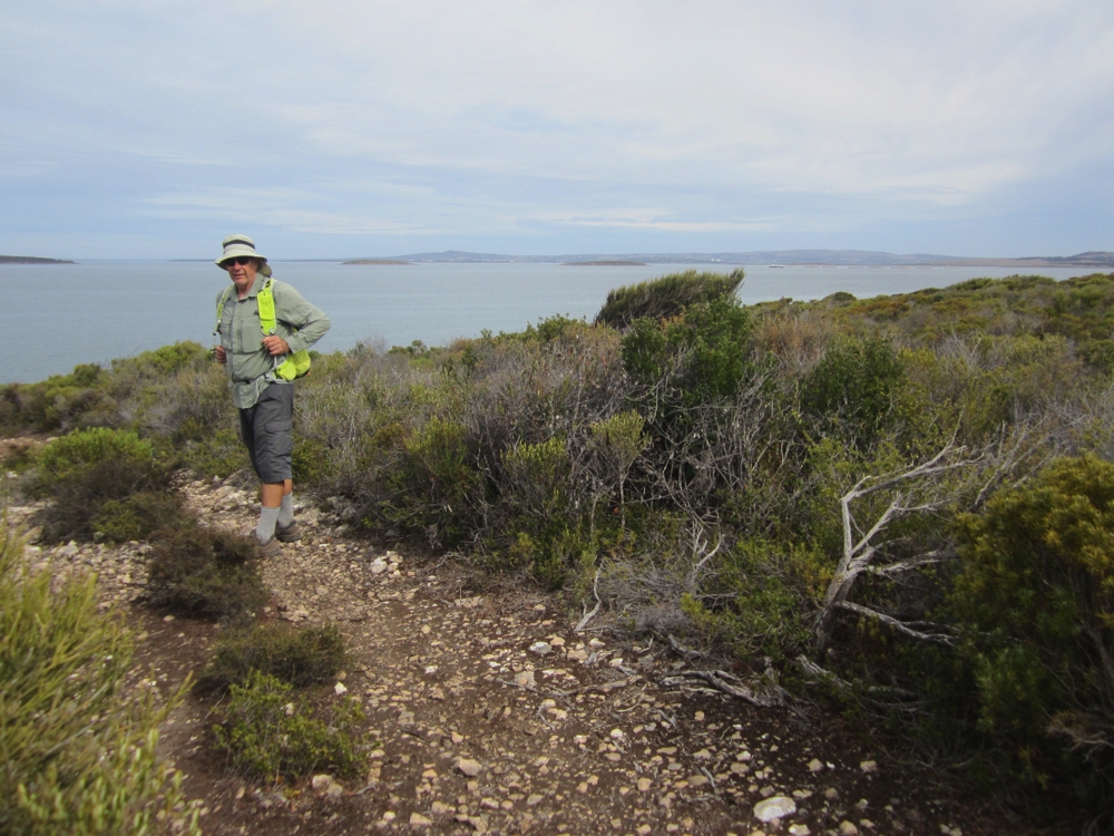
Steve on the Sandy Creek Bridge. High Country Rail Trail
Back for a swim and relaxing in the shade for the rest of the afternoon.
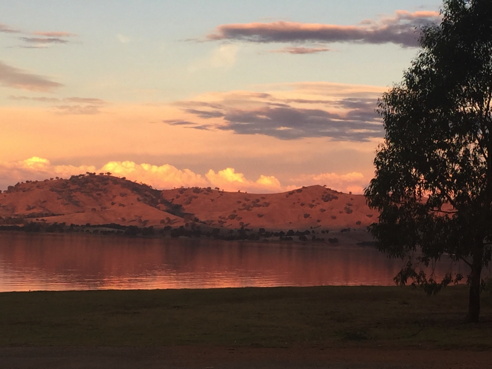
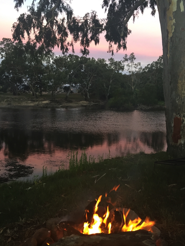
Sunset over Lake Hume, from our campsite.
Friday 3rd
Really good day today. We started with kayaking on the Murray. That’s something ticked off the Bucket List. The Murray at Albury Wodonga isn’t a particularly wide river, but it does flow very, very quickly. Nevertheless we launched at Noreuil Park and headed upstream! So long as we kept out of the main current we made headway, ie staying on the inner curve of the river’s meanderings. That meant having to cross from side to side several times – a real sprint event to try to get across without losing ground. We paddled for about an hour upstream, then sat back and merely guided the kayak back to our launch site over the next half an hour. It was a lovely paddle. The River Redgums and willows are beautiful. The banks are lined with parks or bushland along that part of the river.
Kayaking on the Murray at Albury Wodonga.
After a bit of a rest we took out the bikes and rode the Wagirra Trail which follows the Murray and joins the Yindyamarra Sculpture Trail traversing the Albury Wetlands and features a series of contemporary Aboriginal sculptures. An excellent track, either concrete or sealed … apart from when we got lost and did an extra 8km on a terrible sandy track. Oh well, think of the calories burned. Total ride today of 25 km.
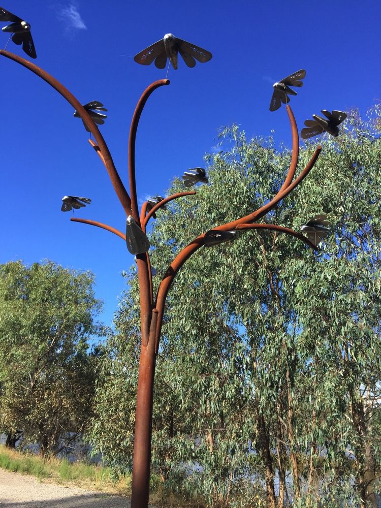
Sculpture on the Yindyamarra Trail – Bogong Moths
Back at Noreuil Park where the motorhome has been all day, the Cork And Fork Festival was just setting up for the evening. We took our camp chairs over and enjoyed wine, food and live music in perfect weather beside the Murray River along with many locals. What a delightful end to a pretty big day.
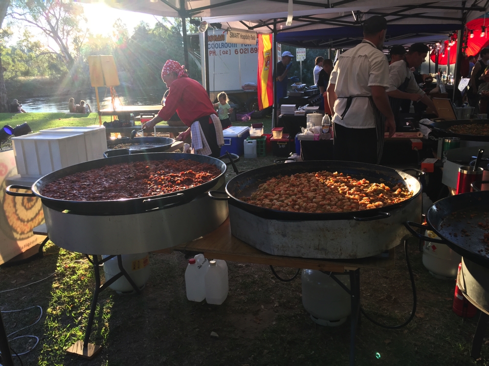
At the Cork and Fork Festival at Noreuil Park on the banks of the Murray. Paella!
Saturday 4th
Not a good night last night. We stayed at the park overnight and a few hoons were doing donuts in the street opposite until all hours.
Because of the Food and Wine Festival there was a Producers Market on today in Wodonga, as well as the usual Farmers Market in Albury. We went to both and sampled delicious wares and bought lots of yummy small goods, meats, fruit and veggies.
We were sad to leave Albury Wodonga as there is still so much here to see and do. They are both really great regional cities. We drove out along the Murray on the NSW side and dropped in to the Whiskey and Chocolate place at Corowa – disappointing as we couldn’t taste any whiskey due there being a function in the tasting room. On to Rutherglen where we bought a very good Durif.
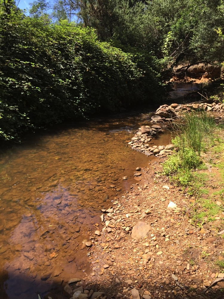
Looking for somewhere along the river to stay for the night we checked out about 4 campsites, all lovely, but very busy, after all it is the weekend. We persisted and finally, after about 2km of pretty dreadful road we arrived at Lumbys Bend with not another soul in sight, and well grassed sites amongst the gums right beside the river.
A very peaceful night anticipated.
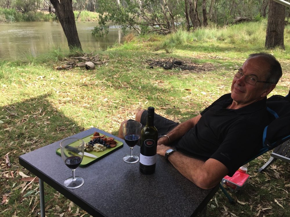
At Lumby’s Bend on the Murray. Wine o’clock is all local produce, including the Durif from Rutherglen.
Sunday 5th
Excellent campsite, but onwards we go. The region has developed a Farm Gate Trail so we noted a few we’d like to drop into and off we went. We enjoyed the drive, the vineyards around Rutherglen giving way to market gardens, dairy farms, stone fruit orchards and olive groves.
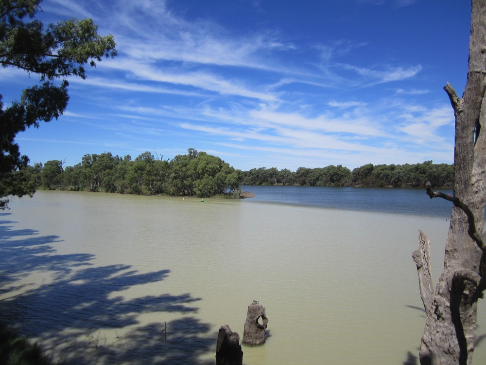
At Yarrawonga we stopped at the River Deck Cafe, the first of the Farm Gate locations selling local produce (I enjoyed a nashi spritzer), then spent some time in the shade on the banks of Lake Mulwala, where water skiers, yachts, a cruise boat and many family groups enjoyed a lovely afternoon. A large number of vintage cars and trucks also had a gathering, all remarkably shiny. Lake Mulwala is quite large, however only a small section at the town end is ‘usable’ with the remainder having countless tree trunks protruding. Apparently before the river was dammed for irrigation purposes in the 1930s the river redgums were cut down, but not removed.
We moved on to the Rich Glen Olive Farm where the array of olive oils and foods is huge, bought a delicious tapenade.
This sauce, or maybe that one? Rich Glen Olive Farm.
A brief stopover in Cobram before looking for our next campsite. There are literally dozens of them here, all along the banks of the Murray. We chose one just a little further downstream than Big Toms Beach. Once more no other campers and pretty idyllic.
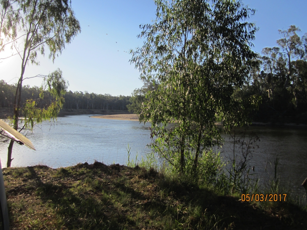
Looking downstream on the Murray, from Big Toms Beach campsite.
Monday 6th
A rest day today – euphemistically that means a day to clean and tidy the motorhome – OK, it’s not big, we did have plenty of time to read and relax. One thing it’s hard not to notice about the Murray is the number of Sulphur-crested Cockatoos. We’ve encountered them everywhere we’ve stopped on the Murray. They’ve entertained us with their aerial acrobatics, though less so with their ‘melodious’ call, particularly at dawn.
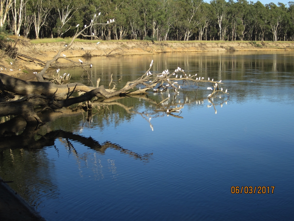
Sulphur-crested cockatoos enjoying dusk at Big Toms Beach campsite.
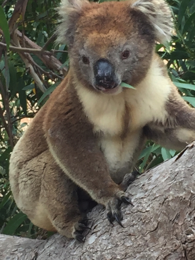
Kangaroos and koalas also spotted at this campsite.
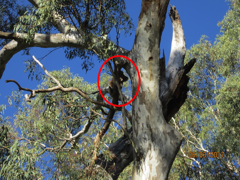
Now isn’t that just the cutest?
Tuesday 7th
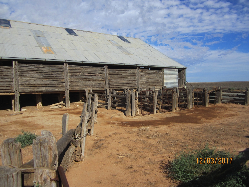
Continuing down the Murray, Barmah National Park looked interesting, despite the website about it being of little help. The Information Centre at Nathalia was excellent, the woman giving us useful info and instructions. Barmah National Park was gazetted in 2010. Prior to that these wetlands had been used for cattle grazing. An annual muster, which was a social highlight, would round up all the cattle, sort them according to ownership to either be sold, or if still young, turned back out again. You can imagine the damage this caused to fragile wetlands. The muster yards are still there.
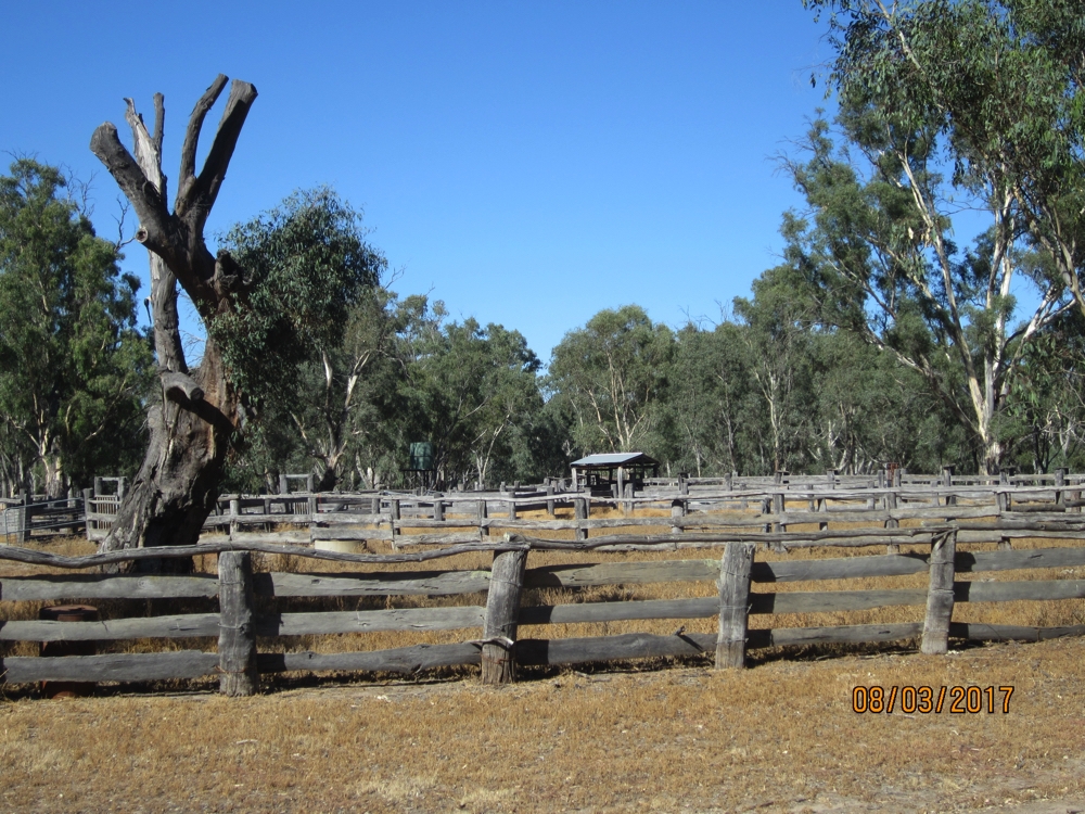
The historic muster yards in Barmah National park.
Prior to that, the area was logged for the beautiful timber of the River Redgums.
An indigenous centre was established in the park where many of the traditional ways were taught to the younger aborigines. This has since closed, though the park is jointly managed by local aboriginals and the government agencies. We did a short self-guided walk seeing ancient aboriginal cooking ovens and tree blazes where bark had been removed to make canoes.
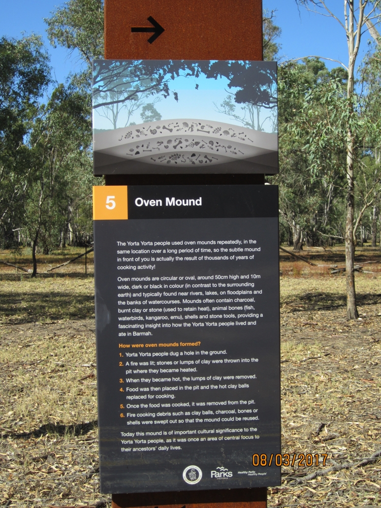
The mound behind was, as they say, ‘subtle’. Interesting to see and to think of the history behind this spot. Barmah National Park
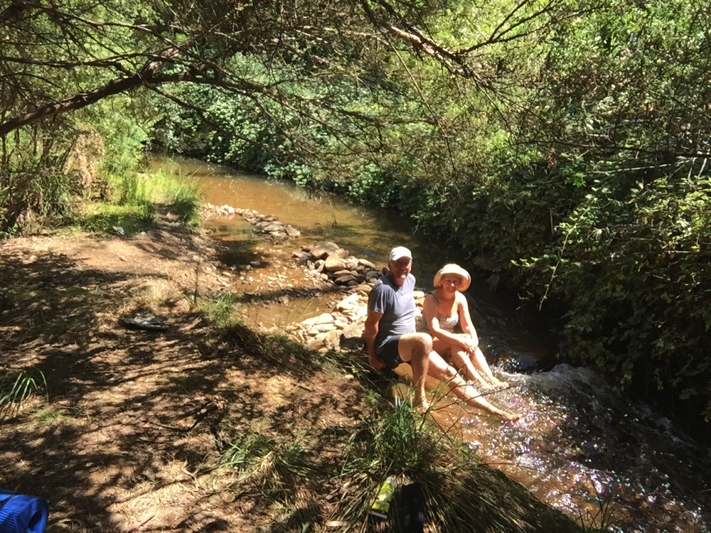
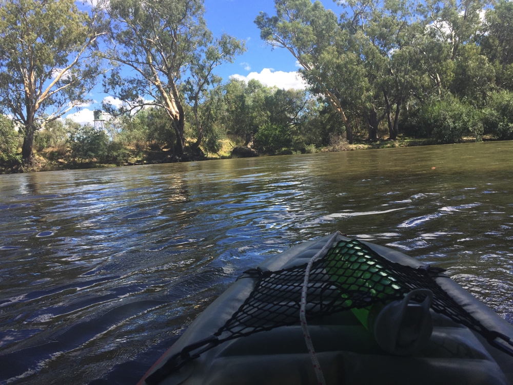
Back at camp we pumped up the kayak and went for a paddle on Lake Barmah. Cormorants, spoon-bills, black swans, ducks and many other birds were spotted, as well as the scourge of the Murray River, carp! The river itself flows alongside the lake, so after a pleasant, relaxing paddle on the lake we tackled the fast flowing river. Here the river is quite narrow. It was a physical and navigational challenge going up the river, avoiding the fallen trees, and pushing against the current, but the reward of the beautiful Redgums along the banks was worth it. And of course the effortless cruise back again was a treat.
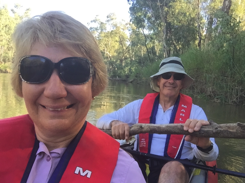
Getting better at selfies. And no Steve isn’t paddling with a branch – just holding that so we don’t get swept down the river while I take the photo. Murray River, Barmah National Park.
Other campers up from us invited us over for drinks. Turns out they’re all keen on fishing and had just BBQ’d a Murray River Cod which they shared with us – the first time I’d tasted one. It was pretty delicious.
Wednesday 8th
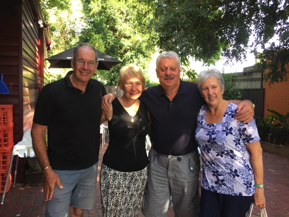
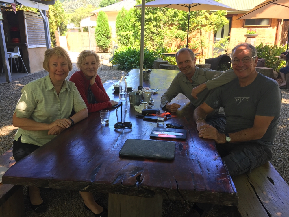
This morning we headed in to Echucha where this afternoon we’re meeting up with Steve’s sister Maree and brother-in-law Carl. Looking forward to a fun-filled few days. We’re staying at the Murray River Tourist Park.
To see photos of this week’s travels CLICK HERE.