Bibbulmun Track: Denmark to Albany

31st October – 5th November 2017

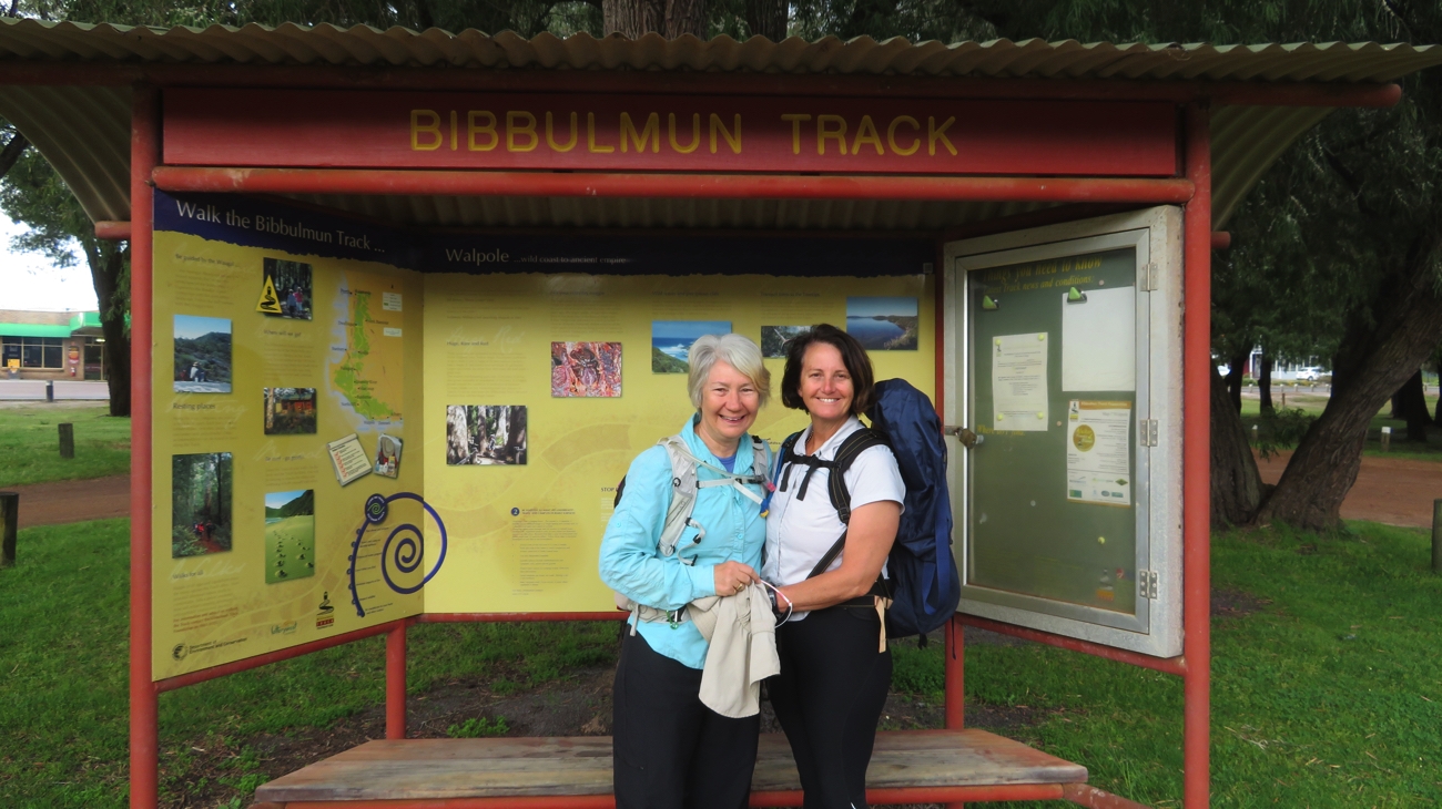
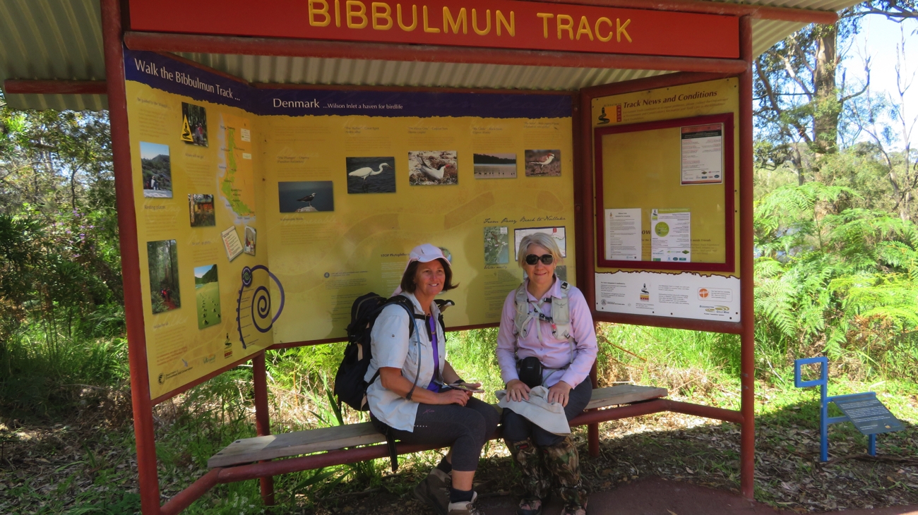
Tuesday 31st (Day 8) Wilson Inlet to South Tennessee Rd (Lowland Beach)
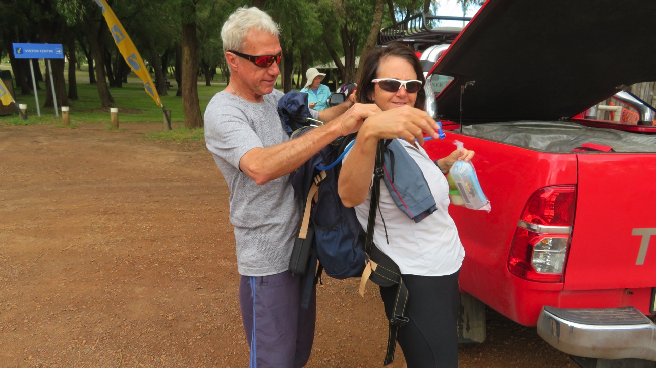
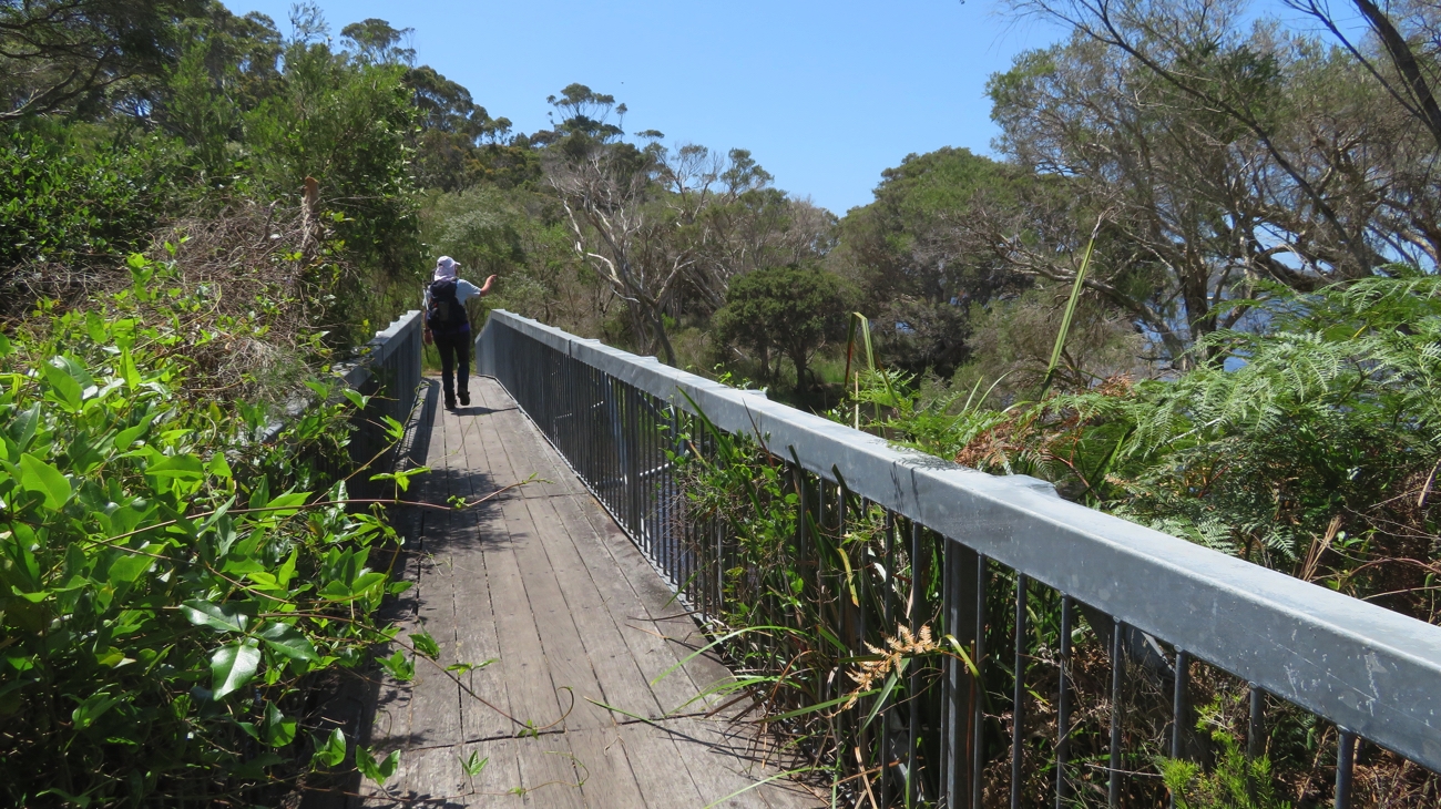
We’ve been psyching ourselves up for today’s long walk, but fortunately mostly flat, according to the Trail profile. While the Denmark trailhead is just beside our caravan park, the start of the walk is directly across Wilson Inlet, the large protected bay on which Denmark is situated. There are various ways to get across there – boat charter, walk to the mouth and cross over the shallow sandbar (no sandbar at the moment), walk a long way around it to begin about 8 km short of the proper starting point, or be driven around by your support team. No prizes for guessing our option.

At the starting point for the leg from Denmark to Albany. Wilson Inlet with Denmark on the far side.

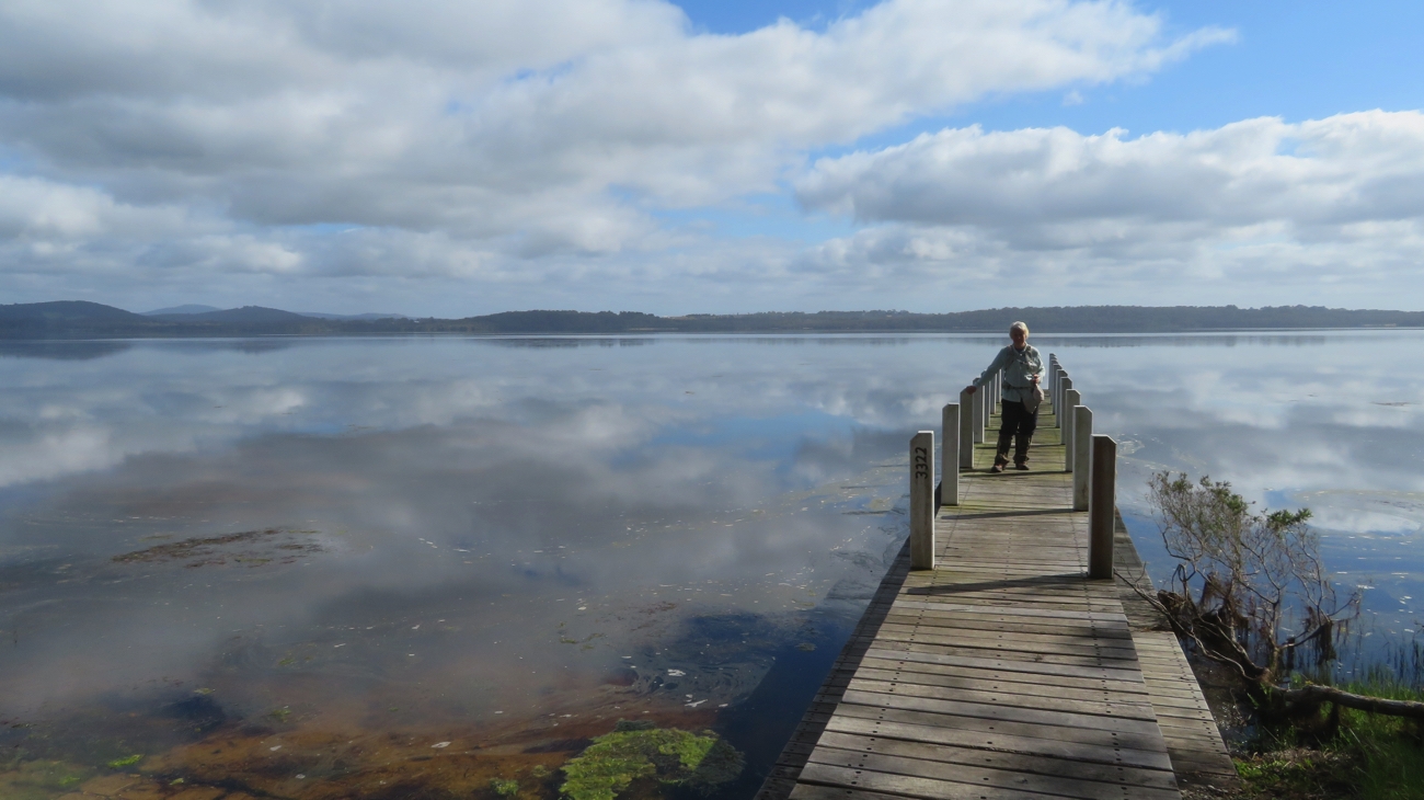
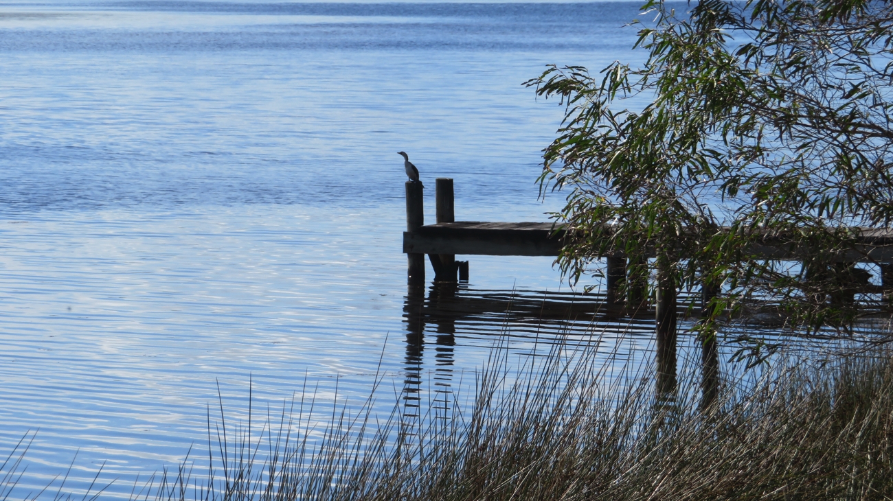
Because of the long drive (40mins) to our starting point we got away from camp at 7.15am. The first 4 kilometres of the walk was alongside Wilson Inlet. The fluffy white clouds reflecting in the glassy still water, with pelicans and black swans nearly making ripples as they glided past us. There are several classy looking homes here with lawns down to the foreshore, with private jetty and boat launching ramp.

Wilson Inlet, alongside our walk.

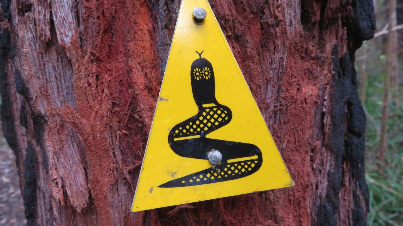
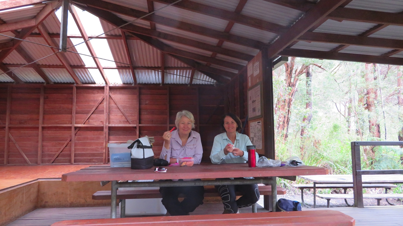
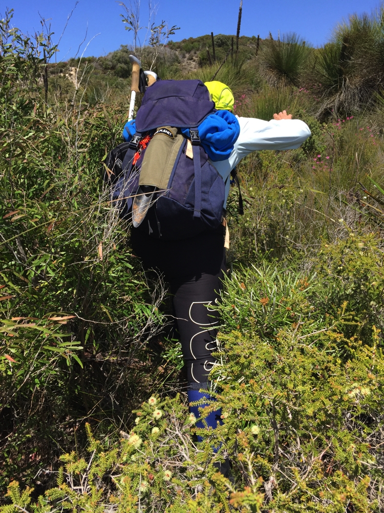
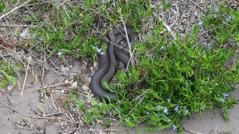
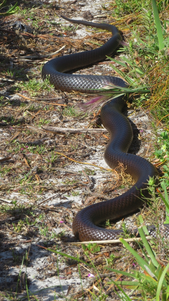
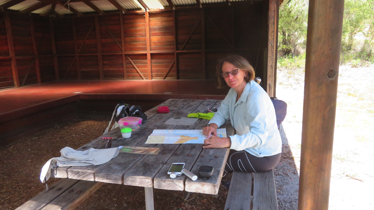
It was along here that we saw the first of the 4 snakes we’d see today. The trail then turned seaward for us to cross Nullaki Peninsula. A brunch stop at Nullaki camping shelter was a nice reward after 8 kilometres of walking. We’d been walking at a cracking pace too knowing it was going to be a long day and not wanting to finish too late.

Brunch at Nullaki camping shelter, and a quick check of the map.

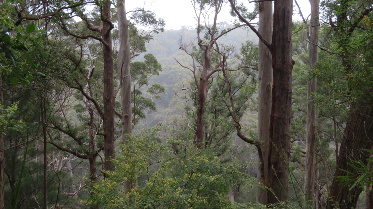
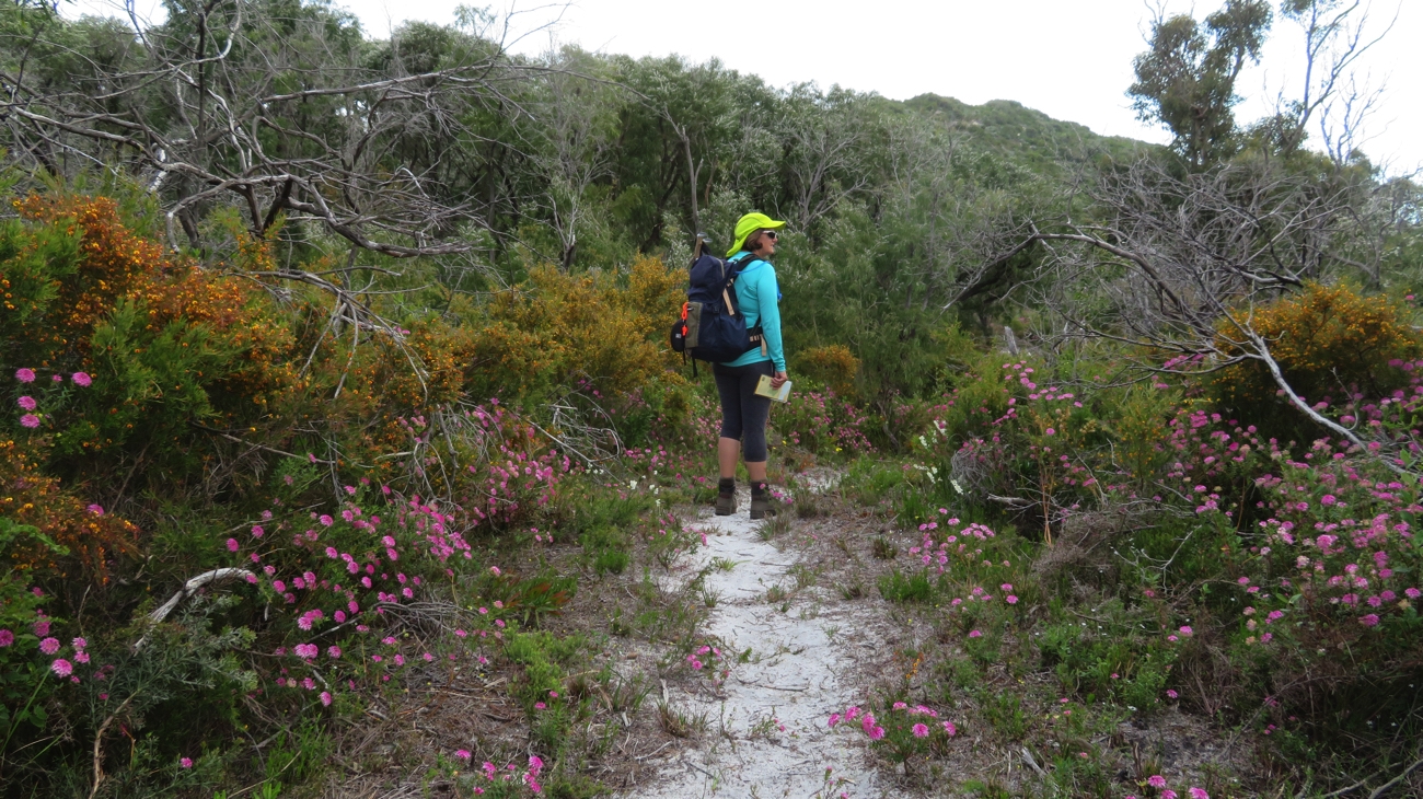
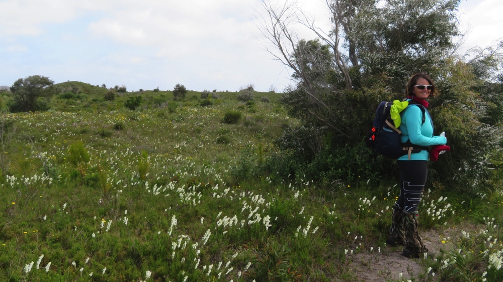
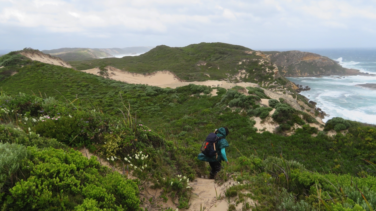
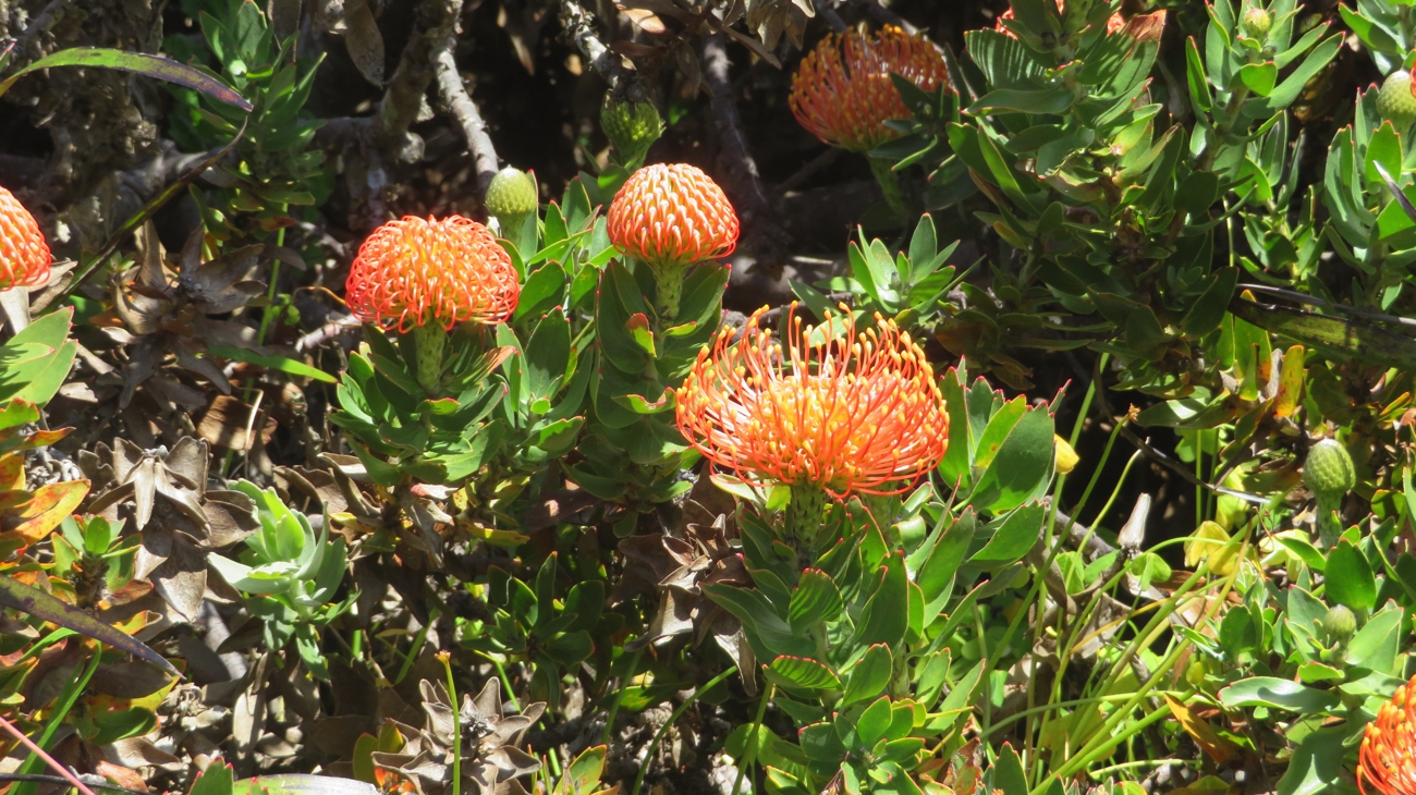
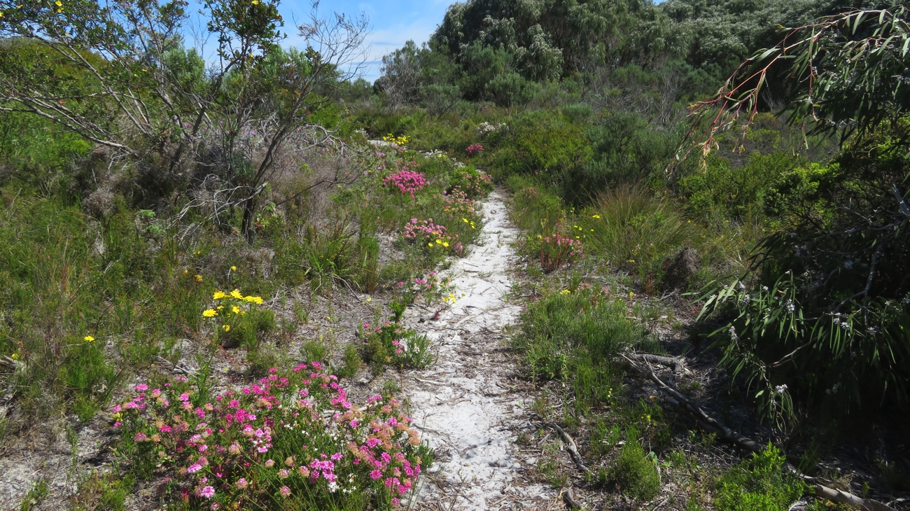
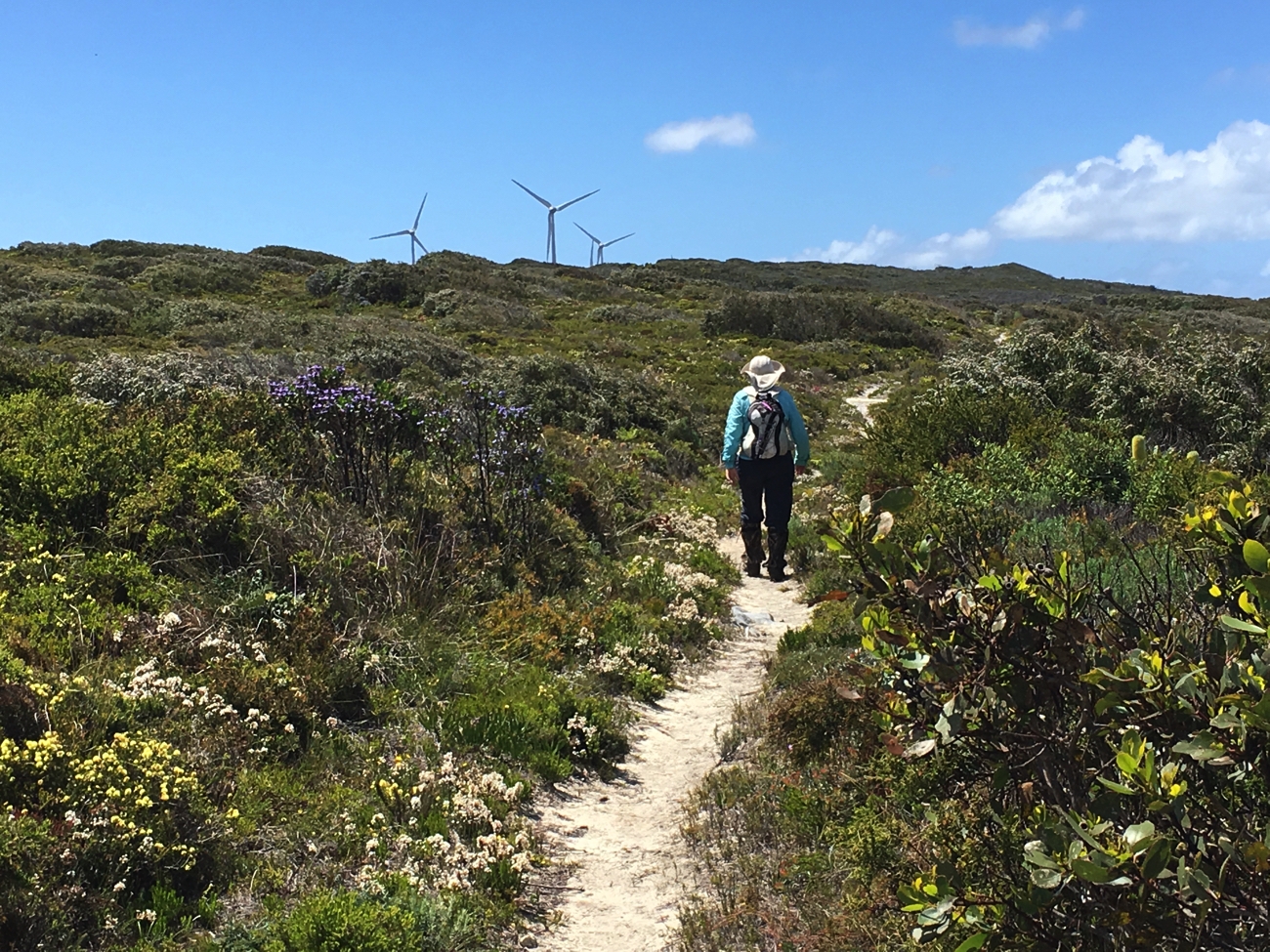
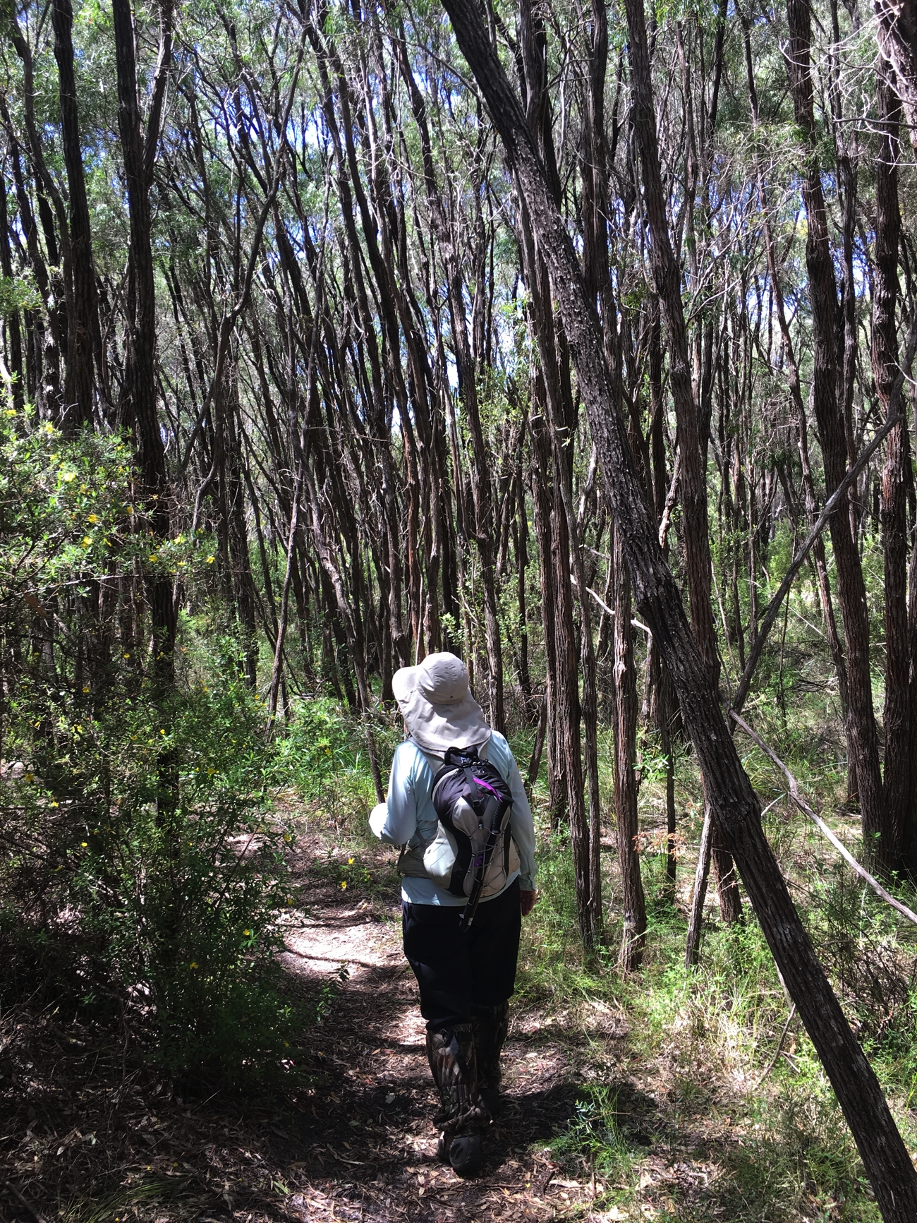
The path starts climbing now just as the wildflowers became more prolific. It was a long slow climb over about 6km. A mother kangaroo with joey in pouch jumped ahead of us along our path for a little way. The less commonly seen red-tailed black cockatoos were happily feeding in a flowering tree while large flocks of the white-tailed black cockatoos raucously flew around before disappearing over the hill. There were lots of smaller birds too, but I’ve no idea what they were.

Many beautiful banksias.

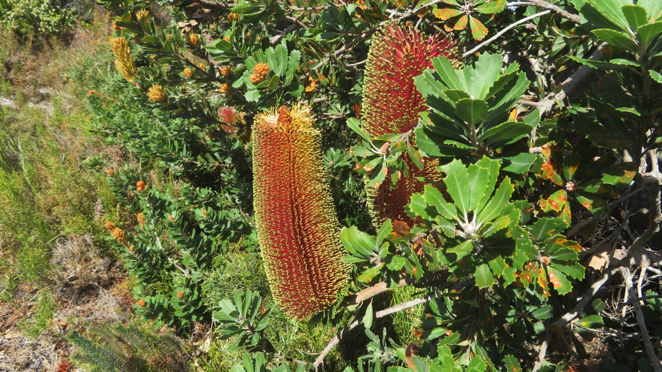
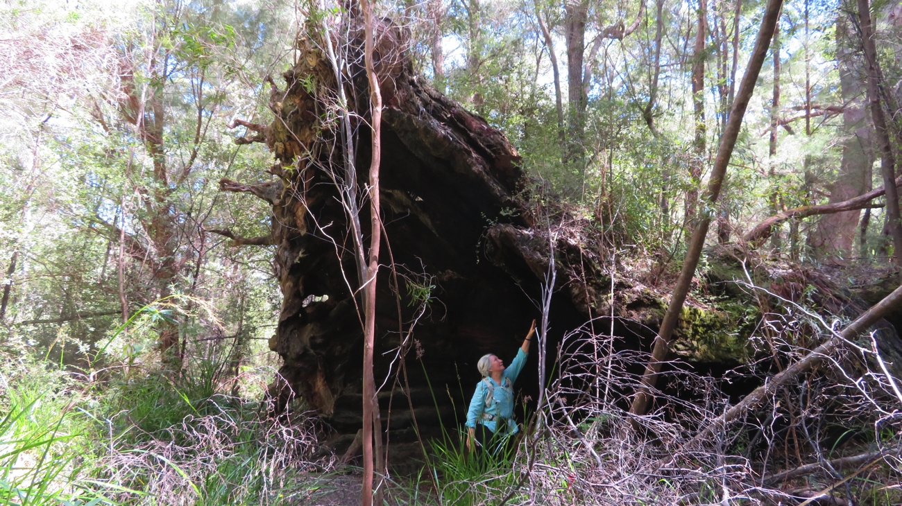
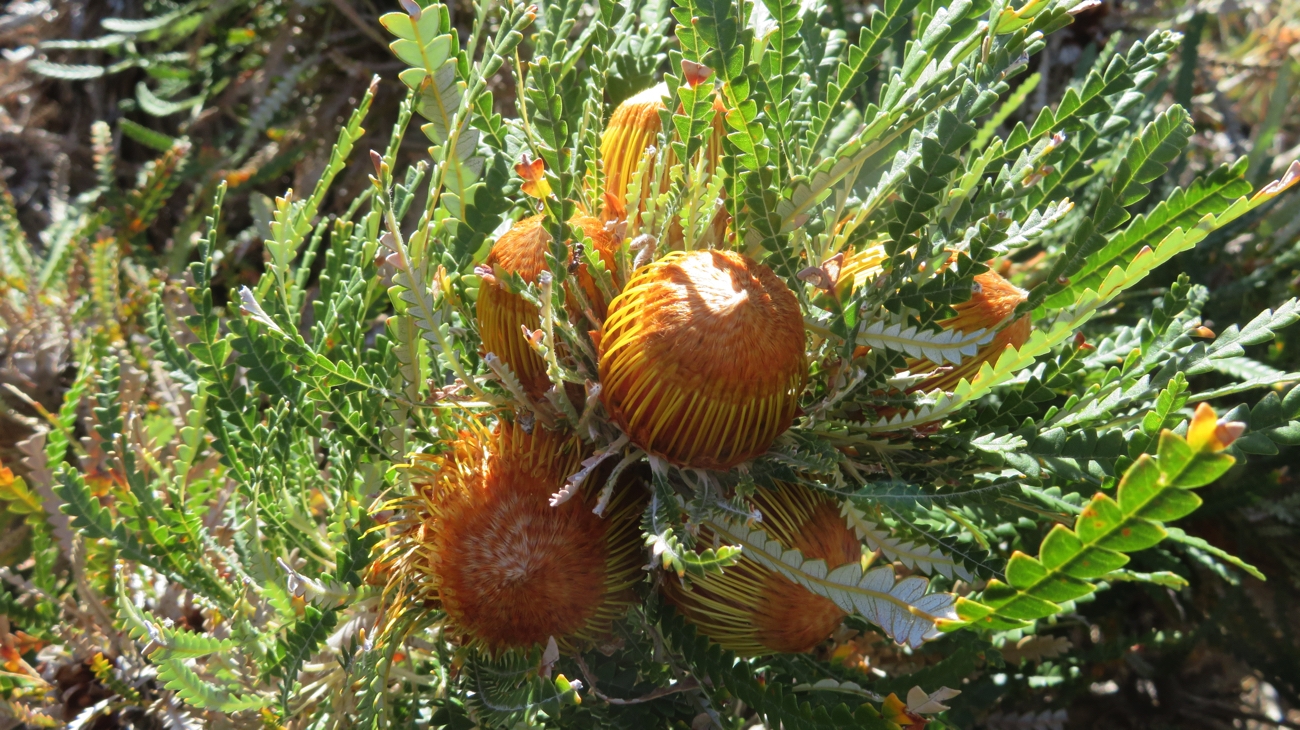
The banksias are flowering now – one gully was just full of banksias as far as you could see – so beautiful.
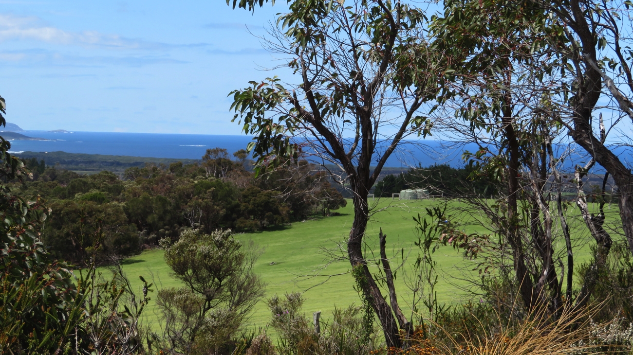
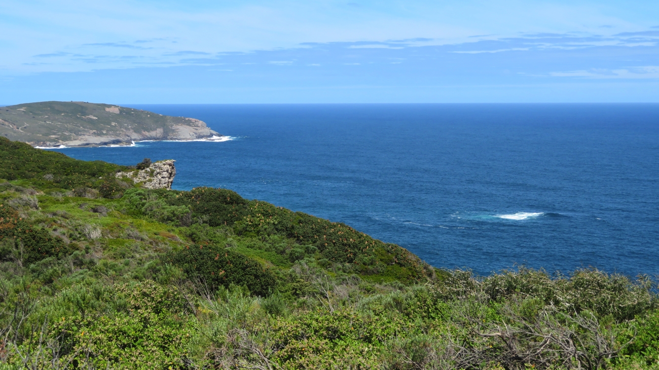
As we got higher we saw the ocean several times. It’s a very different Southern Ocean to the one we’ve been used to, with only light winds and no rain the ocean, while not a millpond, at least didn’t have any white-caps.

A very different Southern Ocean now – gone are the white caps and frenzied crashing of waves we’ve seen over the last week. Looks nearly good enough to go sailing.

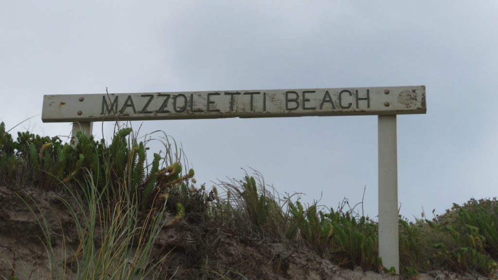
The last section of the walk took us downwards again, still amongst the flowering bushes, banksias and wildflowers towards South Tennessee Road (Lowlands Beach) where we’d organised to meet the boys.

Wildflowers alongside the path kept us oohing and ahhhing at the beauty of the trail.

However we’d been making such good time that we were there about half an hour before they arrived. So, in true Bibbulmun-walker spirit we walked along the road to meet them. A 24km day today.
We shared the roast Steve cooked in the DreamPot and followed it up with dairy-free mango mousse – delicious. Big brownie points to Steve.

Wednesday 1st November 
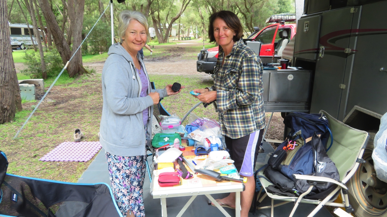
REST DAY! Yippee! And what a lovely day it was too. A nice sleep-in, followed by a delicious lunch at Lakeside Winery and Restaurant, then an 80-minute massage. The Support Team excelled themselves! Could life get better than this!

Thursday 2nd (Day 9)
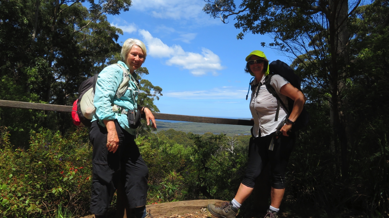
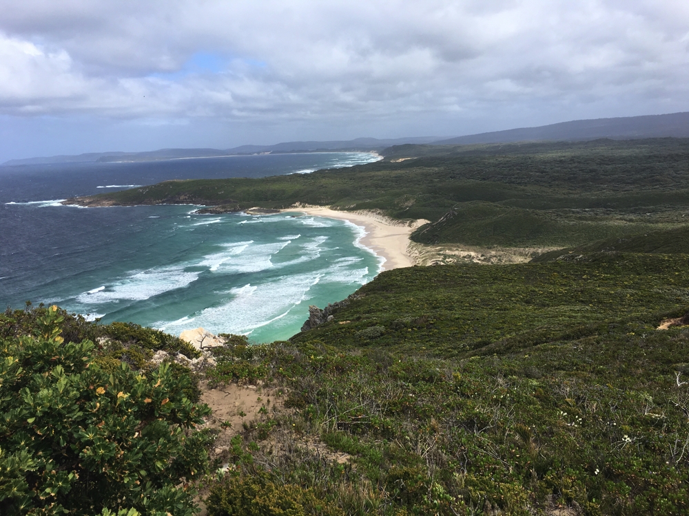
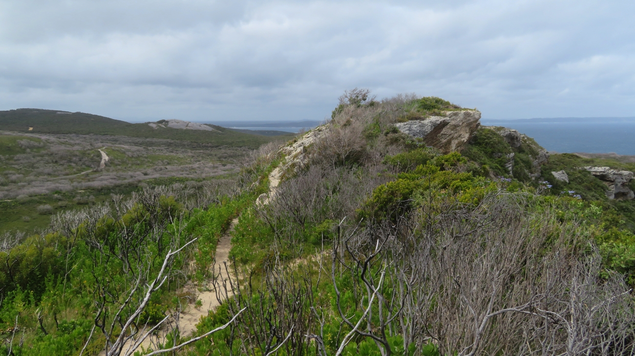
After such a wonderful day yesterday it was hard to get back into it today, but we did! Today’s walk took us steadily upwards from the double bay of Lowlands Beach into West Cape Howe National Park where we walked along the ridge just inland from the ocean admiring the rugged sea cliffs. A pause at West Cape Howe camping shelter was appreciated.

A picnic table at West Cape Howe camping shelter – what a wonderful place to watch the sunset. A bit too early for us though and no plans to be out at sunset.

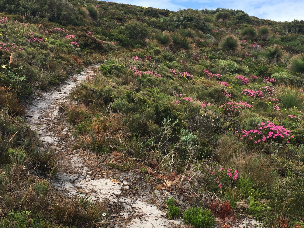
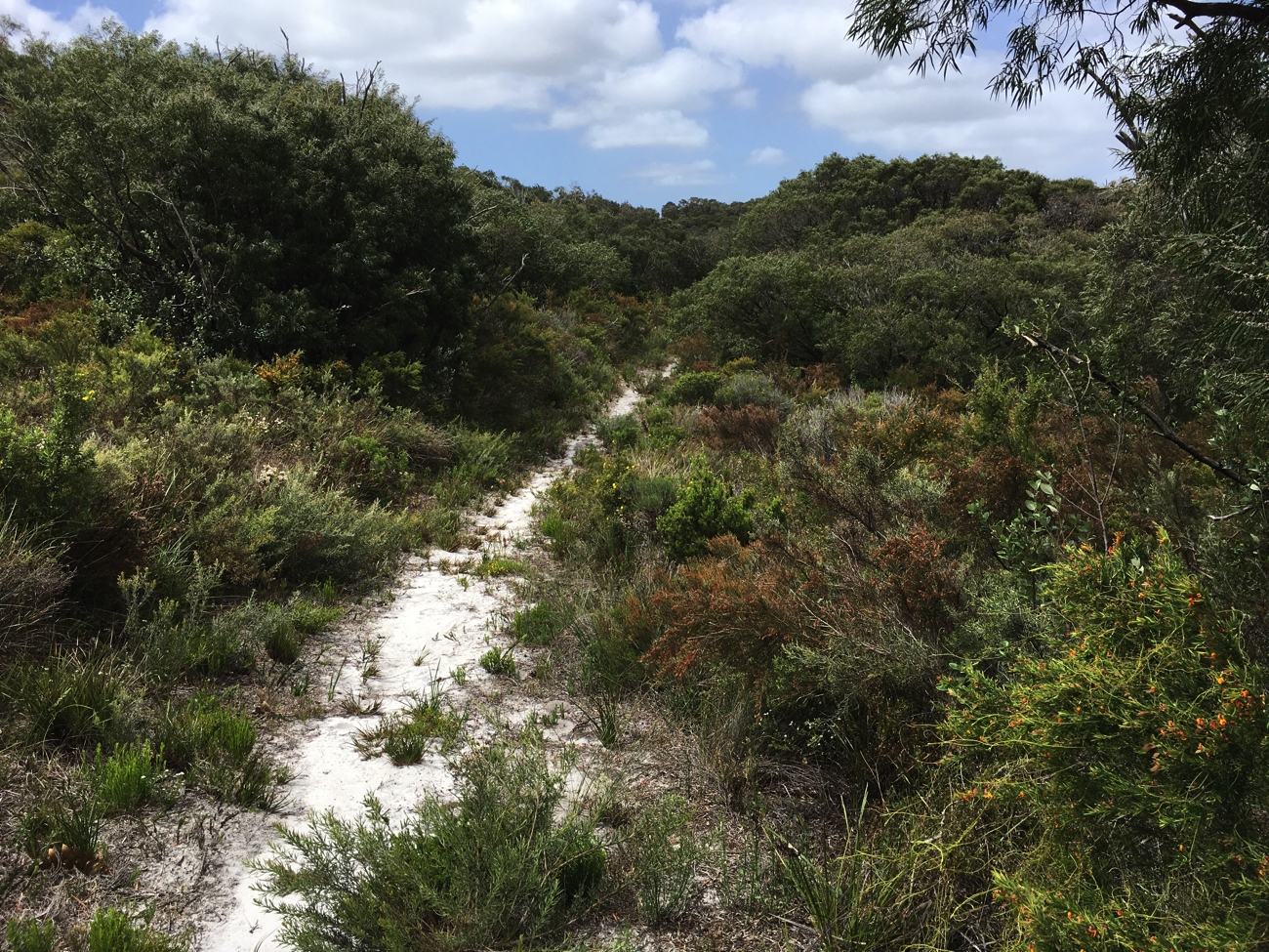
Once more the views lovely, the wildflowers colourful and abundant and the track very good – no muddy patches, no confusing signage.

Our path over this rocky hill gives views to ocean and West Cape Howe NP.

Wildlife wasn’t so prolific today with only a couple of black cockatoos, a couple of hawks and a few smaller birds to keep us company. It was a one-snake day – Trish stood on it! Luckily for her it was only tiny and keener to get away from her then to seek retaliation. We did see a very large snake skin though – would be happy not to see it’s previous owner.

Walking down those awkward steps – but very pretty.

We covered 17.5km over about 5 hours, plus an hour or so for breaks.

Friday 3rd (Day 10)
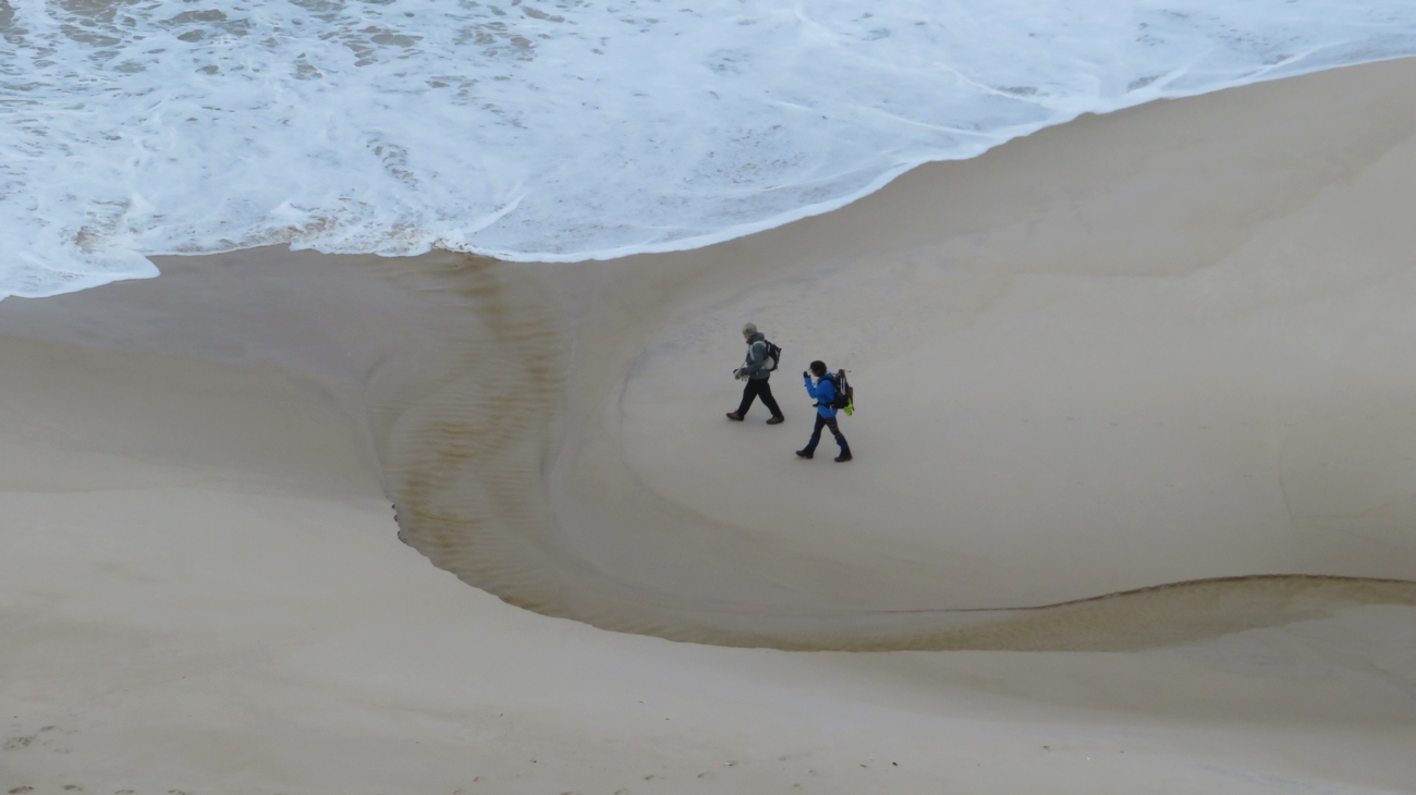
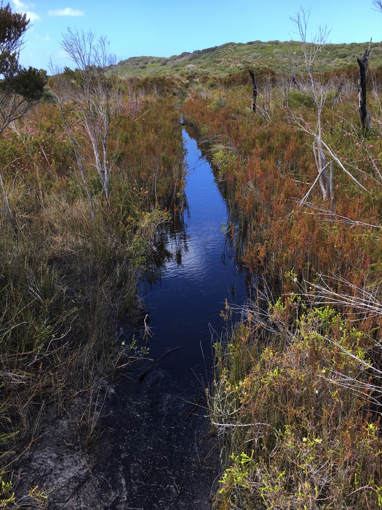
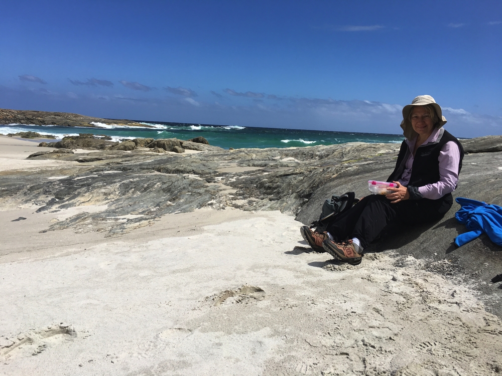
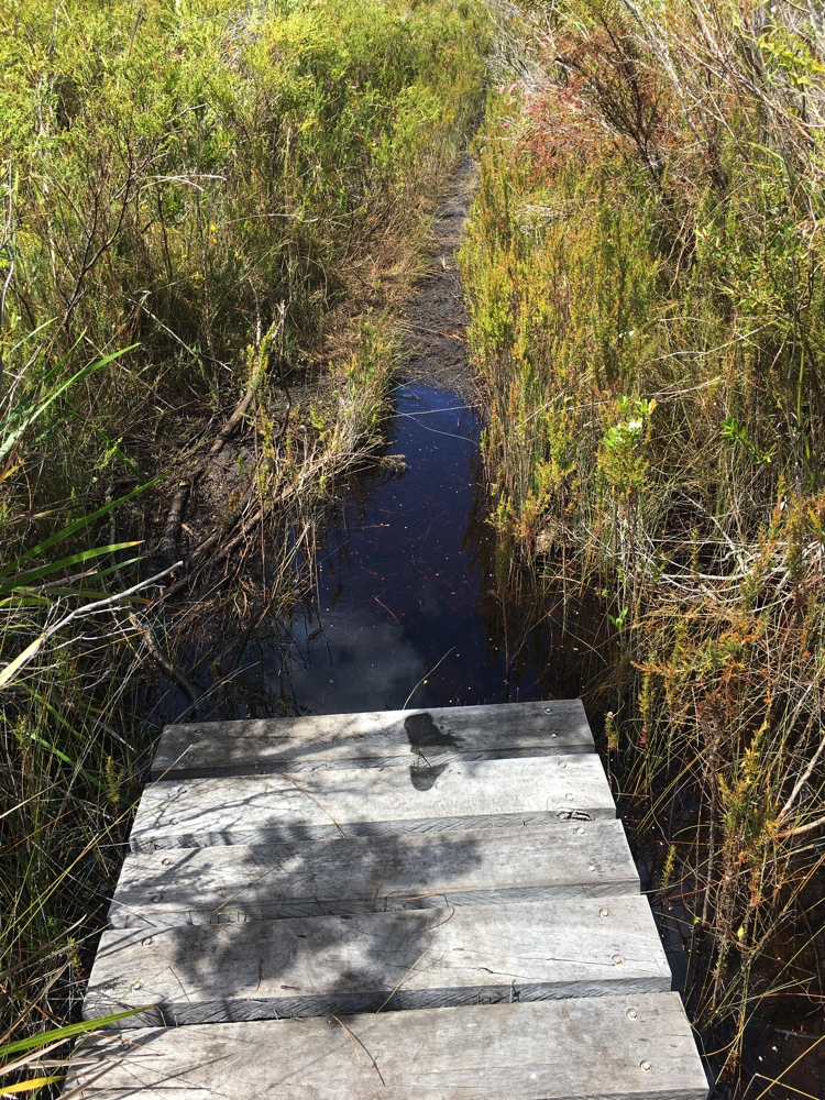
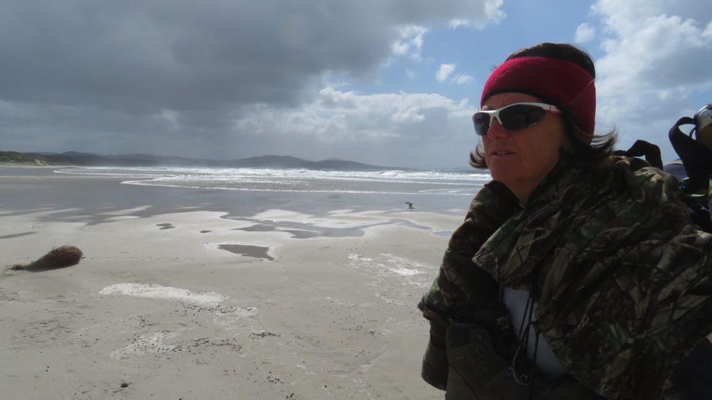
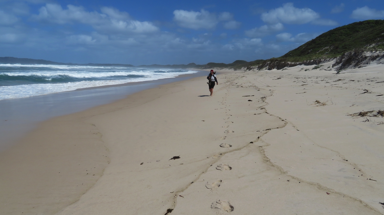
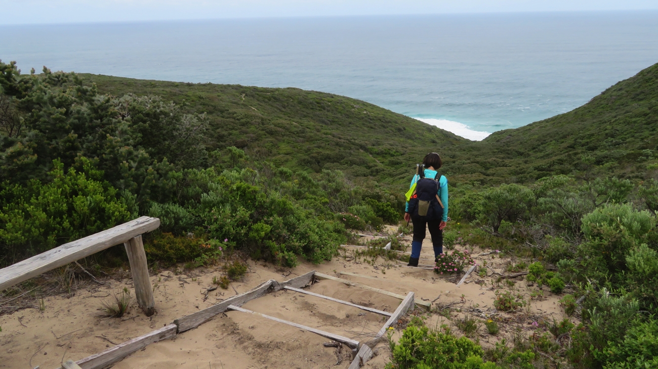
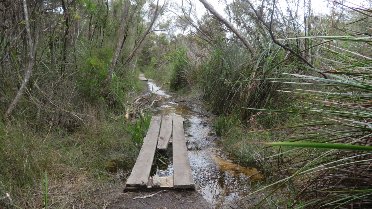
There was plenty of variety in today’s walk. Headland tracks with wonderful ocean views, melaleuca trees in low-lying swampy areas with yet another muddy flooded path to be negotiated, heathlands to about 2 metres high covered in wildflowers, steps, lots of steps leading down to the beach to finish with our favourite (not!) about 6km of beach walking.

The walk goes through a tunnel – kind of.


Oh dear – back to muddy paths!

Just before the hut about 5km into the walk, we were overtaken by other Bibbulmun walkers – two 20-something lads carrying the most enormous backpacks. At the hut we chatted with them for a little while before a man in his 60s walked in, an ‘end-to-ender’. It was pretty exciting to meet so many other Bibbulmun walkers considering the scarcity of them to this point.

And so begins another beach walk. Heading towards the Torbay Inlet.

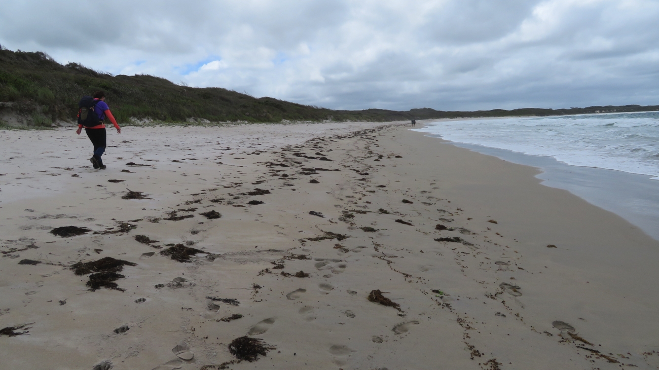
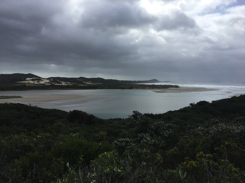
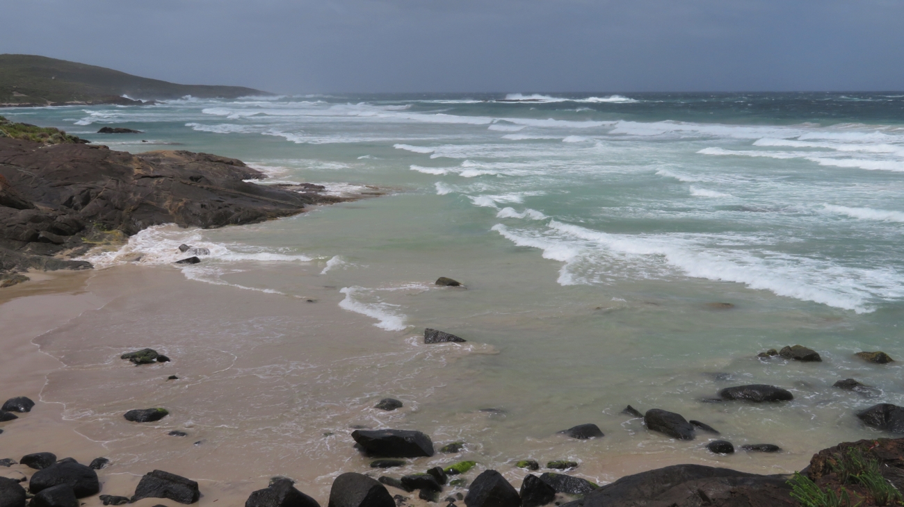
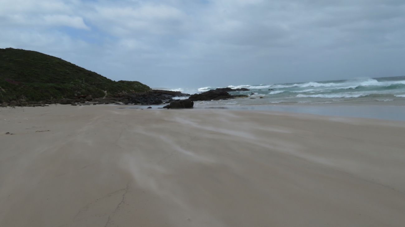
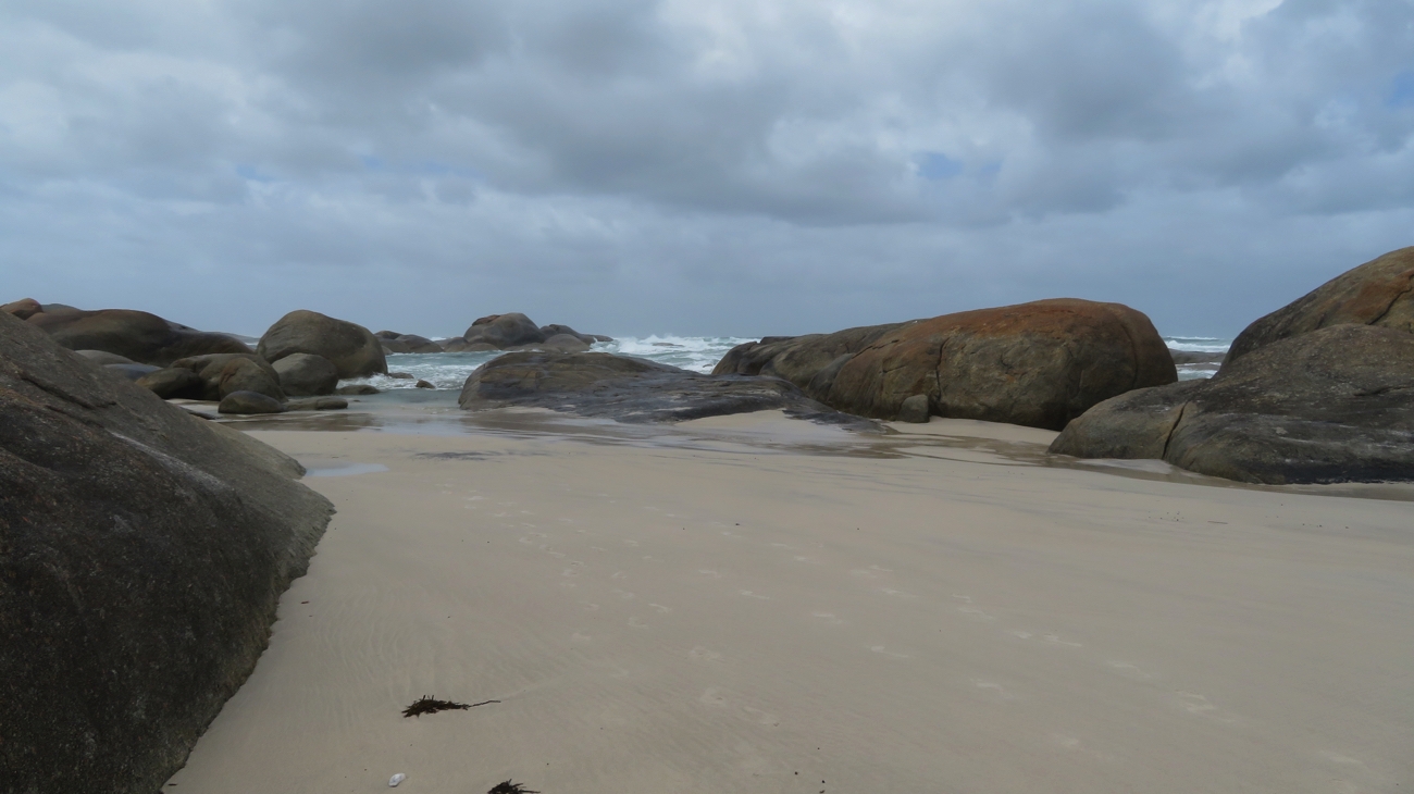
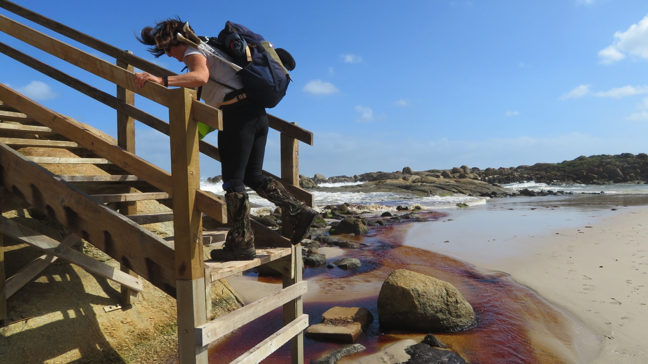
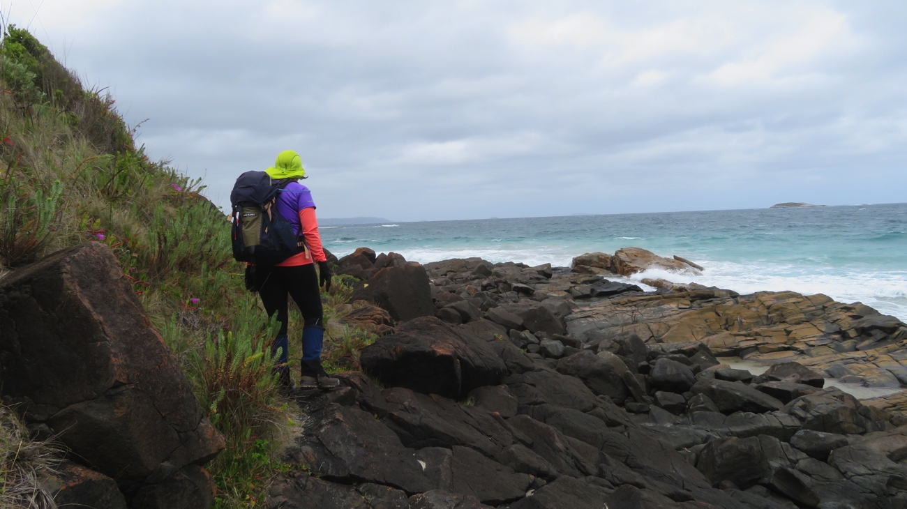
Our main concern was crossing the Torbay Inlet, which is periodically closed due to the volume and rate of flow of water out of the inlet, necessitating a 19km detour!!! Enquiries indicated it was open, maybe shin-deep, but watch the tide. As it turns out we’d be there spot on high tide. High tides also make beach walking difficult, walking high on the beach through soft sand. The winds have dropped to about 20-30km an hour, however they’re right on the nose now. With all this in front of us we intrepidly pushed forward, negotiating a rocky outcrop midway along the beach where the tide was too high for us to walk around it.

A rocky headland on the beach had to be negotiated.

With stress mounting we arrived at Torbay Inlet to find a sandbar, high and dry, right across the mouth. An anticlimax in the end. We left the beach a couple of kilometres after this, climbing up the cliff face to Muttonbird Lookout to be met by our wonderful, worried support team, concerned we’d been swept away at the inlet.
12.5km today, but note that half of that was on soft sand!

Yep, that’s the beach we’ve just walked along. Pleased it’s now behind us.

Saturday 4th (Day 11)
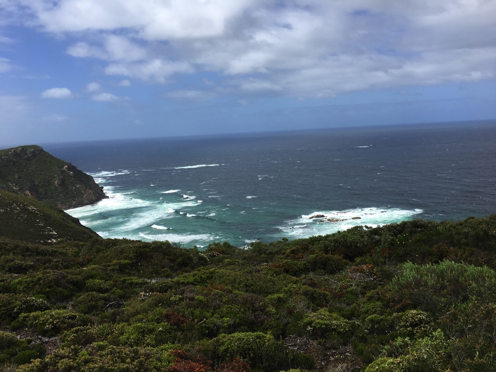
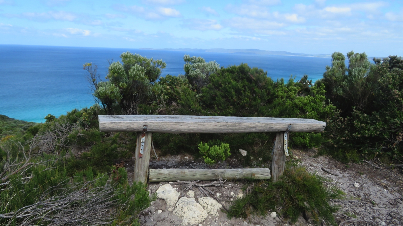
Starting where we left off yesterday at Muttonbird Lookout our walk took us predominantly along the coastal headland high above the now tamed Southern Ocean. The wind has dropped and the dark foreboding clouds have disappeared leaving us with blue skies and fluffy white clouds. A unique experience for us!

Muttonbird Island. Just loved all the different shades of blue.

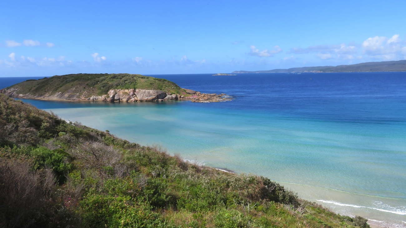
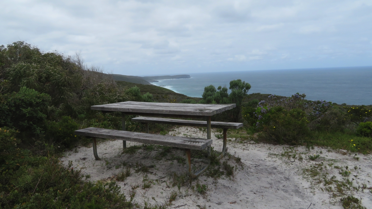
There were several places where we were provided with seats to sit awhile to admire the view. At one such spot the blues of the ocean changed from pale yellowish-blue covering shallow water to go deeper and deeper blue until it was almost indigo on the horizon.

Approaching the windmills. Today’s walk will end after we’ve passed them all.

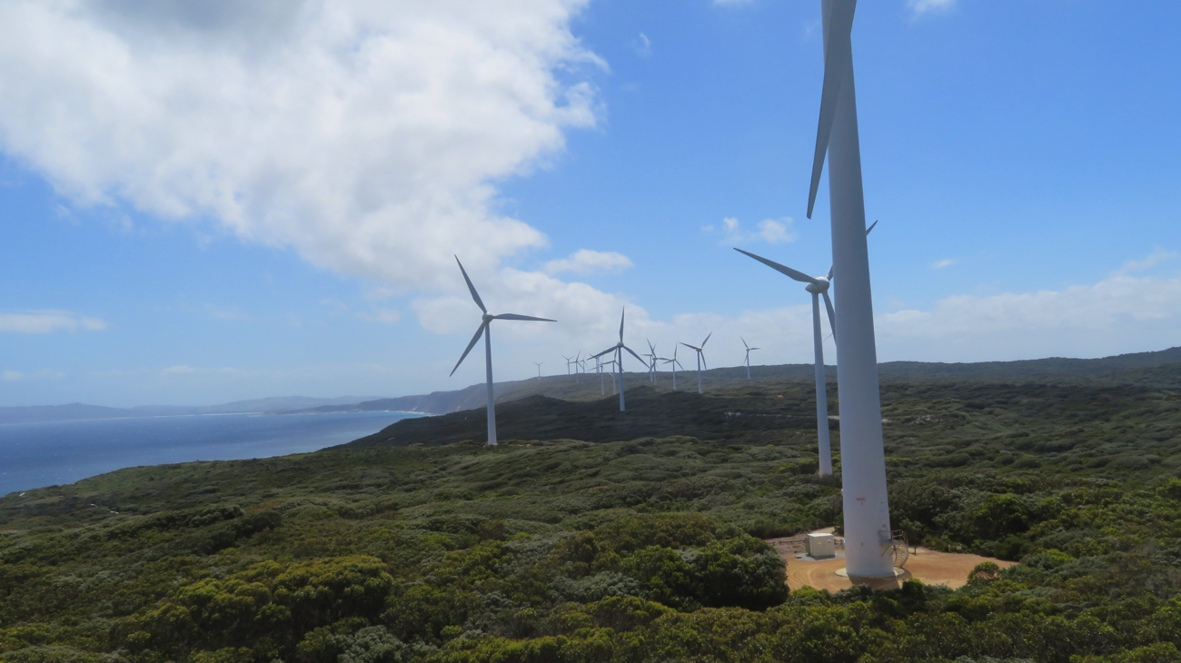
The last several kilometres of today’s walk was alongside the Albany Wind Farm. The closer you get to wind turbines the more elegant they appear – the ultimate in streamlined design. The soft whoosh, whoosh from each as we walked by pleasant on the ear. The eighteen 65-metre towers here are positioned along the coastal cliff some 80 metres above the ocean each with three 35-metre blades. Apparently their positioning is perfect along this perpetually windy coastline, providing 80% of Albany’s electricity needs.

Looking back on the windmills and coastline.

This completed our walk for the day at Sandpatch – 14 km.
On the way back to camp we passed Australia’s first (and supposedly best) whiskey distillery which we couldn’t, of course, just drive by. A wee dram eased a few aching muscles.
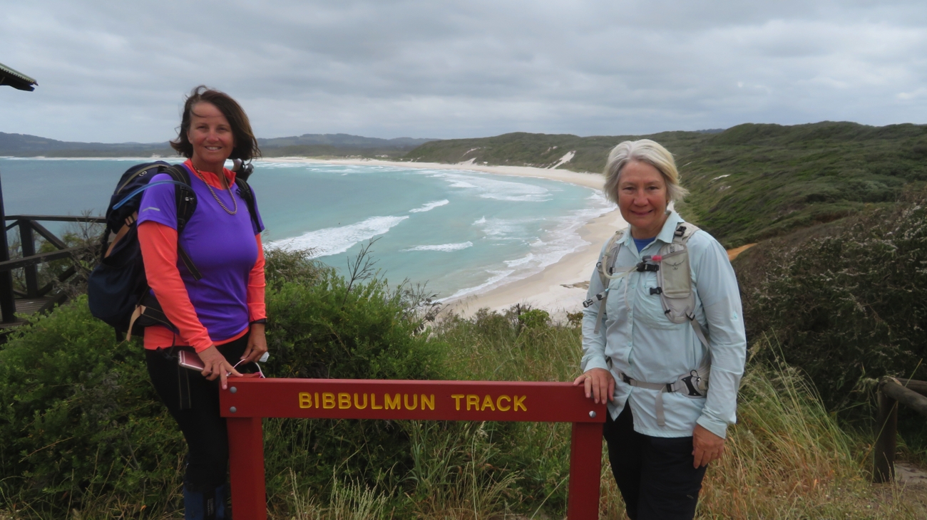
Sunday 5th (Day 12)
Our last day – only 15.75 km to complete the 205 km walk into Albany. We started on the headland; once more we got spectacular views of the coast and ocean, as well as wildflowers in the heathlands.

Another delightfully positioned spot to rest. It may not look comfortable, but it is better than the ground, and by not having a back on it you don’t have to take your backpack off.

The banksias here are a little different to the ones further up the coast, but equally as beautiful. Flowering peppermint trees have lined our walk for the last several days. These trees are covered in little white flowers and having narrow drooping leaves which, with a little imagination, smell like peppermint when crushed.

Still seeing wildflowers we’d not seen before.

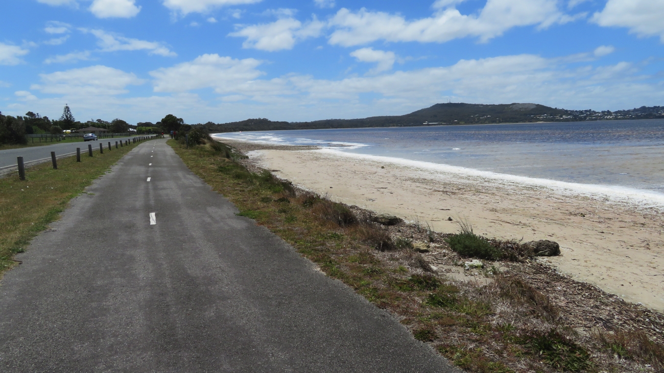
The path took us across a peninsula from the Southern Ocean through Torndirrup National Park to Princess Royal Harbour; Albany being positioned between this harbour and King George Sound.

We’ve left the ocean behind and now heading through Torndirrup National Park.

As we got closer to Albany we started to meet day walkers. The path took us past some lovely homes overlooking Princess Royal Harbour along the shores of which we walked. This is a well protected and very large natural harbour that is relatively shallow – about 2 metres deep. On this very windy day the windsurfers were fairly flying along.

Walking along the track towards Albany, which you can see across Princess Royal Harbour.

In the early 1900s it was dredged and huge jetties built to accommodate big ships. Of note in 1914 the ships carrying the Aussies who were to become the ANZACs left from here. Today the departing ships carry woodchips, silica sand and grain.
The walk through the outer suburbs and up and over a rocky hillock lost its enjoyment as all I could envisage was finally arriving at the Information Centre, the end of the trail.

We made it!!! 205km later we’re at the Albany Trailhead. What a wonderful feeling!

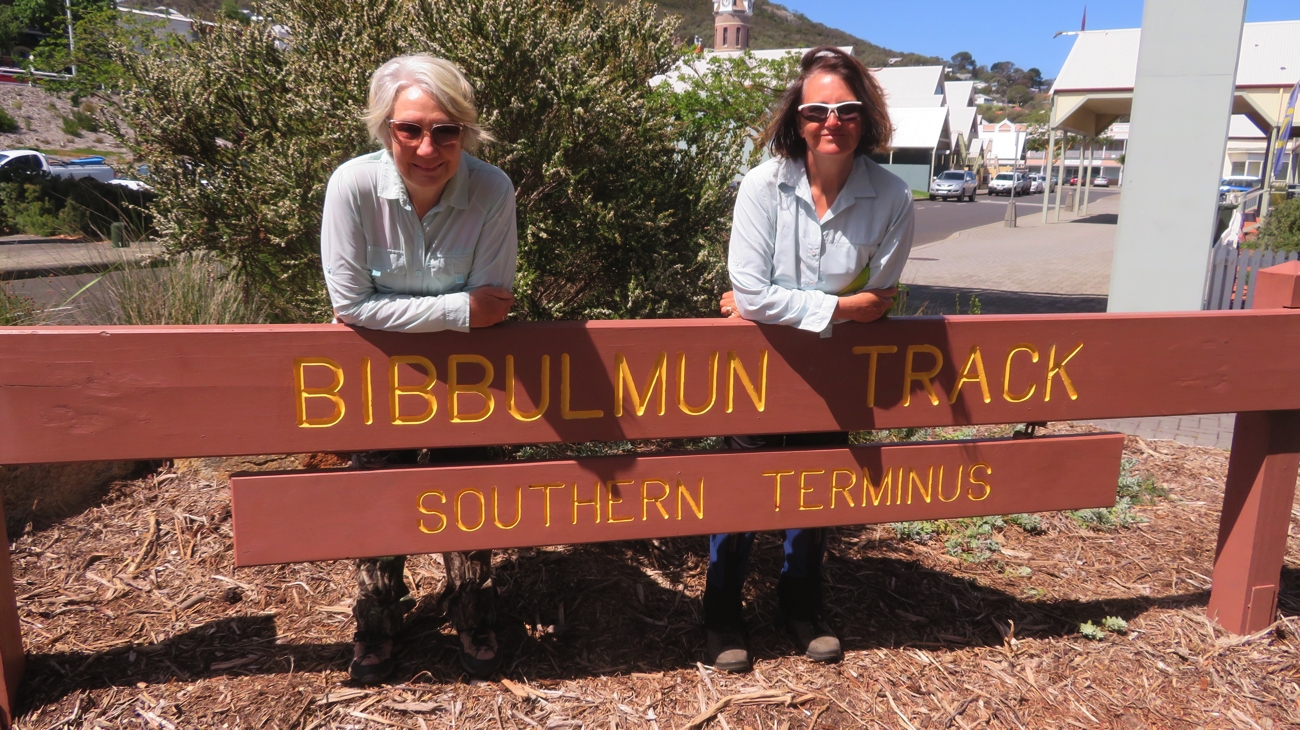
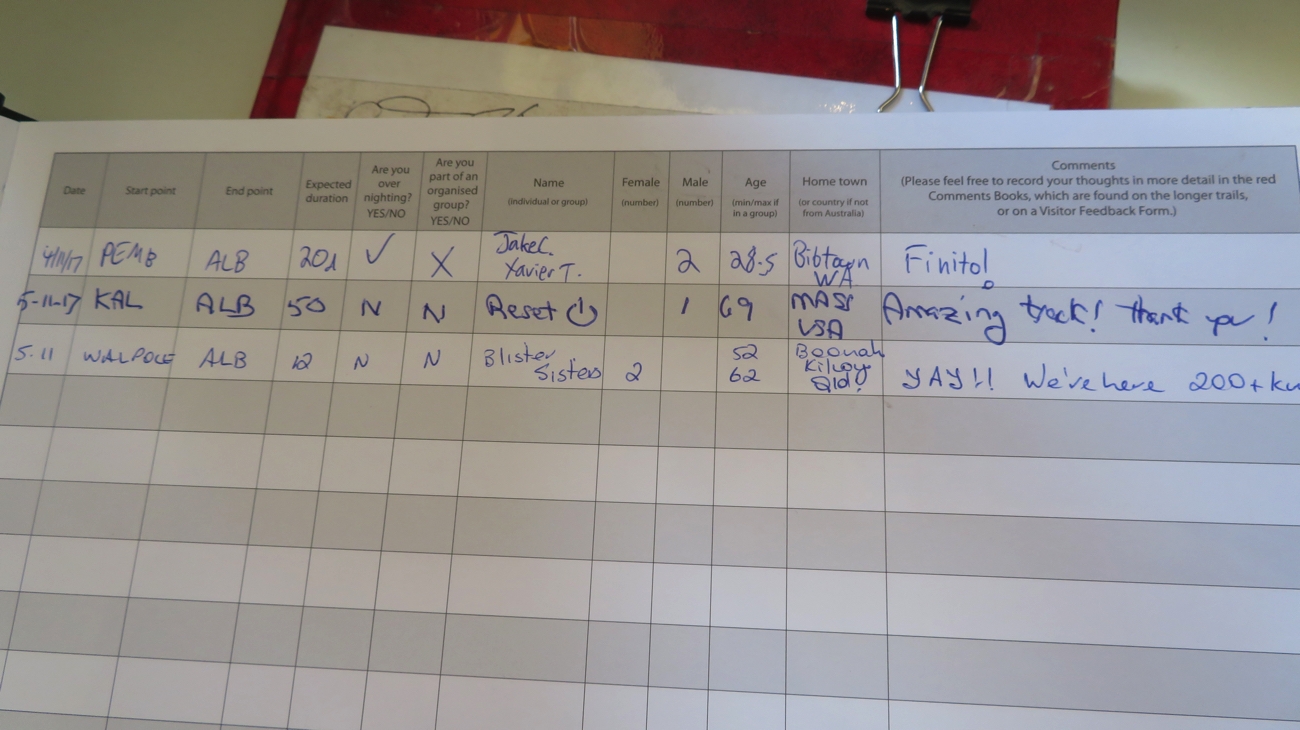
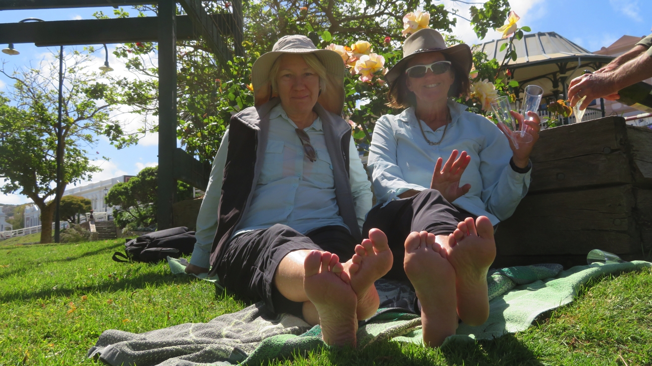
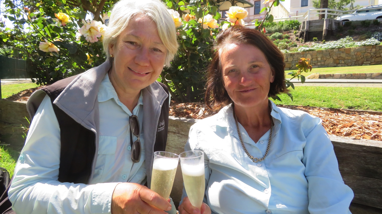
At last the end was in sight and our wonderful support crew had set up a finishing line with tape for us to run through. It was a great feeling. I signed off in the Log Book in the Info Centre then we all sat in the Rose Garden outside and drank champagne.

That’s us, signed off in the last logbook!


Oooo that feels good! And not a single blister between us!!


We really enjoyed that champers in the rose garden.

For more photos from this section of our walk CLICK HERE.

Some reflections of the walk….

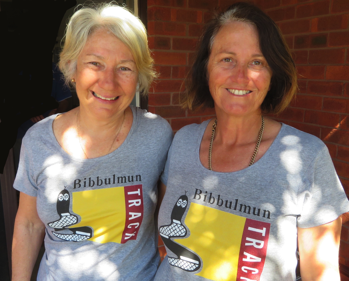
For me it was quite an achievement, the longest distance I’d ever walked day after day.
The variety of the walking is what made it so enjoyable – inland, coastal, beach, headlands, alongside rivers, forests and the wildflowers … they were most certainly a highlight.
Other than where the path was flooded, it was nearly always a good surface to walk on … oh yes, exclude the soft sand beach walking from that description too!
Walking with Trish was enjoyable. We both had strengths and weaknesses and complemented each other well.
Being picked up every afternoon to have a meal cooked and a comfortable bed was a treat. Occasionally I’d read in the logs how much other walkers enjoyed watching the sun set (or rise!) over the camping shelter and I thought how nice it would be .. but not as nice as my proper meal and bed.
On our travels through WA we’ve walked on several short sections of the Bibbulmun, but I think we did choose the most beautiful sections to walk.
Would I come back to do more sections … hmm, not on my radar at this time. Maybe I’ll change my mind later.

Well earned, and well loved t-shirts.

Bibbulmun Track: Walpole to Denmark

22nd – 30th October 2017

The Bibbulmun Track is one of the world’s great long distance walk trails, stretching 1003 km from Kalamunda in the Perth Hills, to Albany on the south coast, winding through the heart of the scenic South West of Western Australia. The formation of this track was first mooted in 1972 by several bushwalking groups, first opening in 1979 with the final section to Albany being completed in 1998. This is a ‘walker-only’ trail; the Munda Biddi Trail is a cycle-only trail that follows a similar route further to the west. The Bibbulmun is jointly managed by the Dept of Parks and Wildlife and a not-for-profit community organisation which maintains the track condition.
The track symbol and direction marker is the waugyl, a snake-like creature that, according to Aboriginal creation stories, created the rivers and lakes and landforms.

This is the Waugul. Depending on which direct the apex pointed was the direction we were to go.

Trish and I have decided we’ll walk the final two sections of the trail, from Walpole to Albany, a total of 205 km over 12 walking days – at an average of nearly 17km per day it’s going to be quite a challenge for us.
Steve and Bryan are our support crew – promising to pick us up every afternoon with a hot meal cooked, a hot shower not far off, maybe a leg massage and a nice comfy bed. Sounds all right!

“I’ve got one of these.” “Well I’ve got two of these!”
Pack preparation.

Sunday 22nd (Day 1)
Today’s walk from Walpole to the Giant Tingle Tree is one of our shortest – a ‘warmer upper’. Yesterday we studied the map, and the walk profile (very important), unpacked our packs, compared what we were each taking, then repacked them adding even more essentials, prepared our snacks and laid out our clothes. We’re ready!

Yay! At the Walpole Trailhead. And we’re off!

8am we drove from our campsite at Coalmine Beach into Walpole to begin the big challenge. And it was – the map and the ‘wagyl symbols’ didn’t match up. We started following where the map indicated only to find the path flooded with muddy puddles. We turned back and walked back into town. Note to self: check the website for  ‘Track alterations and diversions’.

Anyway, an additional 3km later (it all counts!) we finally got back onto the right path, following the bay around and back through our campsite. (We’re purists, we couldn’t have started from there.) Brunch was had a few kilometres further on as we watched the pelicans in the bay and a lone small yacht. From there we headed inland through coastal scrub alive with wildflowers before the track started climbing, finally giving us a comfortable seat to rest and admire the view over the bay from Hilltop Lookout.

A selfie. At the Lookout. You really didn’t want to see the view did you?

Once rested we continued on, initially through a young Karri forest before moving into the old-growth Tingle forest where the Tingle trees can grow to 56 metres with incredibly wide girths, up to 25 metres. Some of these trees appear to be completely burnt out in the middle, however they keep growing from just under their bark.

A fallen Tingle Tree. They have massive girths.

This was our pickup point today. Weary feet, but very pleased we’d begun. Our support team is also off to a great start with silverside and veggies for dinner.

One of the BS Support Team (that stands for Bryan Steve!) helping take Trish’s pack at the end of Day 1.

Monday 23rd (Day 2)
Once more bags packed and ready we got away from camp at 8am to be dropped off back at the Giant Tingle Tree. My brain wasn’t in the right place this morning – I left without the map and without my phone which was to record our distance and track, show us precisely where we were and is, of course, a safety feature. Oh well – I’ll only do it once.
The walk started as it had ended, in the old-growth Tingle Tree forest. You can only say, wow look at that one, just so many times – magnificent trees.
Not long before we stopped for brunch Trish got the fright of her life as she came to within one step of standing on a snake. Brunch was at the Frankland River campsite.

One of the track huts. We stopped at them for lunch or just a snack and a rest, and signed the logbook at each. Note the sleeping platforms!

These camps are set up for the walkers who don’t have the advantage of our fabulous support team and have to camp out overnight. The hut has walls on 2 and a half sides and wide benches along 2 walls to lay a sleeping bag. Also a couple of sturdy timber tables and chairs, a tank of fresh water and a loo.


Misty rain heading across the valley, towards us. A nuisance, but quite ethereal.

Not long after we set out from the shelter it started a drizzly, light rain. All good – we’re prepared for everything! We followed the Frankland River, either high above it on the ridge or down in the valley beside it for the next few kilometres before crossing Sappers Bridge.

Hmm a bit confusing. OK it’s not closed for walkers, because that’s our trail! Sappers Bridge

In a few areas there were muddy sections of the trail or fallen trees to be negotiated – all part of the journey.

There were some obstacles along the path.

A slow but steady climb through the forest, crossing Boxhall Creek a couple of times on well-constructed small and larger bridges finally brought us through the Valley of the Giants to the Treetop walk.

Resting for a bit on one of the several little bridges over Boxall Creek.

Here we rendezvoused with our support team. 22km and 7 hours later (resting for brunch and lunch).
The drive back to Coalmine Beach camping area stunned me with how much distance we’d covered! Showers, dinner and an early night.

Tuesday 24th (Day 3)

A slower start to today as we all wanted to do the Treetop Walk at our starting point and it doesn’t open until 9am. A boardwalk takes you firstly through the ‘Ancient Empire’ which showcases some wonderful trees, no better than we’ve been walking through already, but I guess non-Bibbulmun walkers deserve to see these trees easily too.

Inside the base of a living Tingle Tree on the Ancient Empires section at the Treetop Walk.

The Treetop walk takes you high up into the canopy – an extraordinary experience and not to be missed.

Steve and Denise on the Treetop Walk, in the canopy of the Tingle and Karri trees. A unique experience. I wished I had a lot more time just to watch the birds up here.

We farewelled the boys and headed back into the forest to stop only about 2 km later at Giants campsite for brunch. The walk continued through forest with a few ups and downs until we reached Nut Lookout. A transition began here, from the tall trees to the rugged coastline.

Wow! Across the lush green fields to the ocean. Our walk is changing.

With National Park forest behind us we looked across lush green pastures with black Angus and white sheep grazing to the ocean and beaches in the distance – quite a change of outlook!
As we progressed, leaving forest behind us, the path became sandy and the foliage changed to sheoaks and banksias. More and more wildflowers began to appear too.

The wildflowers are now prolific. Such a pretty walk with these beautiful bouquets all the way. Trish

One part of the track traversed some swampland, the path being completely submerged in smelly, stagnant water. With no way around it (we did try!) we balanced as best we could on branches previous walkers had tossed in and hoped for the best. Tricky!

Careful consideration is put into every footstep. Denise

Finally sensing we were nearly there with only a few sandy dunes to climb, and the boys were there to meet us. Another very interesting walk. 16km and 6 hours.

The lunch is to be eaten, but first confirm all is well with the map. The white box you see beside me contains the official Log Book. We signed into these at each of the camping shelters.

Wednesday 25th (Day 4) Conspicuous Beach to Peaceful Bay
In my opinion today’s walk would have to rate up there with the best I’ve ever done. We didn’t start out so well. From the starting point at the car park at Conspicuous Beach we had to walk along the beach for a little way – all good except we couldn’t find the Waugyl symbol indicating where the path left the beach. Fortunately the boys were up at the Lookout watching us and gesticulated wildly when we were to exit.

On Conspicuous Beach. Trish and Denise

From there it was a steep climb up Conspicuous Cliffs where we got amazing views over the bay and rough Southern Ocean. Brunch stop at Rame Head campsite.

Looking back to Conspicuous Beach. We started today’s walk at the far end of the beach.

There were lots more ups and downs into and out of gullies. What made it so enjoyable were the wildflowers – masses of pink flowers, banksias, yellow buttons, grass trees, acacias and other yellow flowers, fuchsia pink daisies, blue daisies, native wisteria. You couldn’t have designed a more beautiful garden than the one we had the good fortune to be walking through for many hours.

How could you possibly not love a walk like this?

The trail led us inland for a while. Once more we encountered swampy, stagnant water over the trail and managed to cross it by walking on branches, until we came to one section that was long and deep. We could see where others had skirted around it by the broken undergrowth, so decided to follow one of these off to the left.

Time to find a detour. Though maybe, bearing in mind the outcome of doing just that, walking straight through could have been the better choice.

However when we bush-bashed our way back to intersect the path we couldn’t find it.

To bypass the water on the track we did a bit of bush-bashing. Trish

Between us and the ocean was a high sand dune and Trish had the good sense to climb it and look for the path. We could see our destination, Peaceful Bay, off to the right straight through the heath – the direction the path had been heading when we left it, except now when we spotted the path it was heading the opposite direction. It had made a turn to the right to follow the coast again after we’d left it!
We stopped for lunch at The Gap, a pretty cove where we hunkered down behind some rocks to escape the freshening wind.

Snack time. Sheltering from the wind.

Leaving here we came to more swampland, though over the worst of it were some boardwalks, but some weren’t quite long enough and in other places it was back to trying to cross it without sinking into the mud – I’m never going to leave the path again!

Hmmm. I think the board walk ended a little too soon.

Back to the coast, along the beach for a few hundred metres, up onto headlands where we could watch the ocean battering the coastline, and finally into Peaceful Bay.

A cove with the Southern Ocean making its presence felt.

Here the boys treated us to an ice block and fish and chips before heading to our new campsite at Ayr Sailean, directly north of Denmark.

Thursday, Friday 26th, 27th
The weather forecast today and tomorrow is not a good one for walkers – strong winds, rain and hail. A couple of rest days were in order!
Ayr Sailean, our campsite, is on a sheep farm. There are a lot of level, thickly-grassed, powered sites bordered with trees. The facilities are tops – free washing machines, free, fast wifi (there’s a Telstra on the property), hot showers with good pressure, rainwater for drinking and a very well-appointed, fully enclosed camp kitchen. And all this for only $23 per night! That’s pretty amazing.
The weather forecast became fact. As the wind howled and the rain pelted down we thought compassionately of those Bibbulmun walkers who were out there doing it today!

Saturday 28th (Day 5) Peaceful Bay to Boat Harbour 
The forecast still wasn’t brilliant but we decided we’d walk anyway. With more likelihood of rain later in the day we left early, 7am from the campsite. Today’s walk has been described by previous Bibbulmun walkers as the toughest day of the whole 1000 km.

That’s us!

About 5km into today’s walk we crossed Irwin Inlet by kayak.

Irwin Inlet. We’re to cross it in canoes. With the sky looking very ominous today could be interesting walking.

It’s a gap of about 50 metres, with kayaks and life jackets provided on both sides of the inlet – one person plus one backpack per kayak, and leave at least one kayak on the side you’re leaving.

There goes Trish!


Denise coming in to the landing having successfully negotiated Irwin Inlet.

Steve and Bryan decided they’d accompany us to this point to see us safely across and very generously towed our kayaks back across the inlet after our journeys.

Trish, amongst the flowers.

Farewelling the boys we headed off to climb and descend countless vegetated sand dunes. This was pretty tough going, but still a lovely walk with such great views that it was hard to complain. In one of the valleys was a mob of kangaroos numbering about 16, with some very big Roos amongst them.
There was a gale force wind warning for the coast along which we were walking – the Southern Ocean was stunning in its ferociousness, though many times when we were on an exposed section the wind blew us sideways.

Ocean views – the waves were crashing way out.

The track moved down onto the beach for several kilometres a couple of times. With an incoming tide, strong winds from behind us and sand blasting us from behind it made for exciting walking.

Getting sand-blasted from behind! Very grateful we weren’t walking the other direction.

Further excitement came from seeing a couple of brown snakes, dugites I’m told – The boys said they also saw 3 on their way back to the vehicle after dropping us off.

They grow them big out here – and deadly. This one, right beside the path, we left well alone and snuck past, quickly!

All in all though, despite the gale force wind and a light patter of rain, it was another truly beautiful walk. 18km

The track wound up and down numerous sand dunes.

The boys met us at the Bibbulmun Boat Harbour campsite but only after they’d driven 10km in on very soft, sandy roads with several long fairly deep water crossings. An epic trip! Thanks guys, particularly Bryan who was the driver and had to do it all again on the way out.

Sunday 29th (Day 6) Parry Beach Rd to Lights Beach Rd
Because of the shocking road into our pickup point yesterday we opted for a different starting point today – Parry’s Beach Campground. This is the beginning of Mazzoletti Beach, which is sometimes closed due to erosion and high tides, however it’s open today. Before we’d even walked 50 metres a wave came the full width of the beach making us scurry up the foredunes.

Not a beach either of us will forget in a hurry!

Anyway off we went, the first challenge being Parry Inlet where off came the shoes, socks and gaiters and rolled our pants up, and still got them wet when a wave came in halfway across!

Trish, with gaiters and boots slung around her neck, about to cross the inlet. Look at those threatening clouds!

We walked the length of the beach, 8km, bare foot and keeping a close eye out for rogue waves of which there were a few! The sand for the majority of the way was quite soft. My calves are going to be aching tomorrow! I know I’ve been all grumbles but it wasn’t all bad – it’s a beautiful beach and the ocean is still quite magnificent in its ferocity and the wind wasn’t nearly as strong as yesterday. And we enjoyed seeing the seabirds – seagulls, the larger Pacific gulls, black oystercatchers and a petrel, and even some black cockatoos.

Walking on the hard sand as often as we could, while watching out for rogue waves to catch us.

At the end of the beach, being misled by the waugal pointing strait ahead, we ended up at Greens Pool. Beautiful, but not impressed we’d walked further than we needed, we returned, climbed a wooden ladder to get off the beach and ate our brunch looking over the ocean and huge granite rocks.

These rocks are just around the corner from where we were supposed to exit Mazzoletti Beach.

From here the walk took us ever upward to a lookout over Elephant Rocks and Greens Pool, a popular, protected swimming area during summer, but no one there today! Tower Hill was then conquered giving us a wonderful view back over William Bay, the full length of Mazzoletti Beach to Parrys Campground where we’d started. Once again we’re walking through beautiful wildflowers, and again I’m seeing flowers I haven’t seen before.

Soft sand paths are easy walking – only when they’re not on a beach!

The track brought us back to the coast again at Lights Beach, with a very short beach walk, thank goodness, then up to the headland for a kilometre or two where once again the ocean and rugged coastline views were spectacular.

Exiting Lights Beach. Lucky it was low tide – getting to that bottom step could be fun when the tide is in.

With only 5 km to go to our pickup point we were powering along until ‘Twinkletoes Trish’ did her little dance backwards which she is beginning to perfect – another snake on the track. This one though was warm and happy and didn’t want to leave the path. We had no option to skirt it so spent some 15 minutes encouraging it to move on before it finally, languidly, slithered off into the undergrowth.

Not a fellow we wished to argue with. He wasn’t really too happy to let us pass.

Only one more snake seen before we reached our pickup point. A total of 18km today.

Monday 30th (Day 7): Lights Beach Road to Denmark Trailhead
Today’s walk started with an ascent – a really decent ascent!

We started today with a ‘difficult walk’ up Mt Hallowell.

Mt Hallowell rises to about 1000ft along a rocky path winding between tall Karri trees and huge granite boulders, Monkey Rock being one of them on the southern face. A lookout here gives 270 degree views over Denmark and William Bay.

Trish at the summit of Mt Hallowell.

Further up, at the summit which is a broad, nearly flat granite rock, the views were all around and well worth the difficult walk and several detours we made looking for the trail markers.

These signs weren’t nearly frequent enough up here. We took a wrong turn a couple of times.

The trail down, surrounded by Karri trees, soon changed to leaf-covered dirt, so much easier under foot.
It wasn’t too long before we were back walking towards the coast, housing beginning to appear around us. Back in these lowland areas the wildflowers were appearing again.

Yet another wildflower we hadn’t seen before.

The track used some sealed roads in suburbia for a little way, the gardens of these homes just beautiful. Along the coast we walked in either wooded areas or right on the foreshore of Wilson Inlet with the mowed lawns and manicured gardens of beautiful homes stretching down to include our trail.
We crossed Little River on a delightful wooden footbridge, taking our time to admire the pretty river and do some bird watching.

Boardwalks make for easy walking. Approaching Denmark.

The final stretch into Denmark was along a sandy, muddy, big puddles in places road – not so great. But it was great to see the boys at the end of it welcoming us to the trailhead in Denmark. Just a couple of hundred metres to the caravan park where we’re camped. Not a long walk today – only 12.5km.

Yay – we’ve arrived at the Denmark Trailhead. Part One of our walk done!

For all our photos from this section of our walk CLICK HERE.