31st October – 5th November 2017
Tuesday 31st (Day 8) Wilson Inlet to South Tennessee Rd (Lowland Beach)
We’ve been psyching ourselves up for today’s long walk, but fortunately mostly flat, according to the Trail profile. While the Denmark trailhead is just beside our caravan park, the start of the walk is directly across Wilson Inlet, the large protected bay on which Denmark is situated. There are various ways to get across there – boat charter, walk to the mouth and cross over the shallow sandbar (no sandbar at the moment), walk a long way around it to begin about 8 km short of the proper starting point, or be driven around by your support team. No prizes for guessing our option.
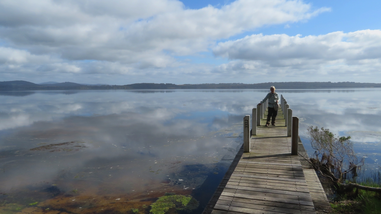
At the starting point for the leg from Denmark to Albany. Wilson Inlet with Denmark on the far side.
Because of the long drive (40mins) to our starting point we got away from camp at 7.15am. The first 4 kilometres of the walk was alongside Wilson Inlet. The fluffy white clouds reflecting in the glassy still water, with pelicans and black swans nearly making ripples as they glided past us. There are several classy looking homes here with lawns down to the foreshore, with private jetty and boat launching ramp.
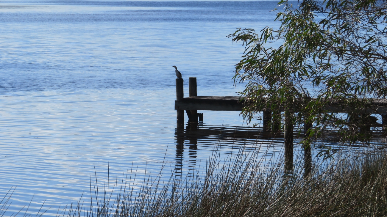
Wilson Inlet, alongside our walk.
It was along here that we saw the first of the 4 snakes we’d see today. The trail then turned seaward for us to cross Nullaki Peninsula. A brunch stop at Nullaki camping shelter was a nice reward after 8 kilometres of walking. We’d been walking at a cracking pace too knowing it was going to be a long day and not wanting to finish too late.
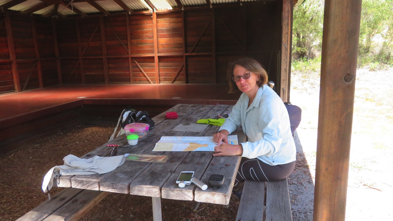
Brunch at Nullaki camping shelter, and a quick check of the map.
The path starts climbing now just as the wildflowers became more prolific. It was a long slow climb over about 6km. A mother kangaroo with joey in pouch jumped ahead of us along our path for a little way. The less commonly seen red-tailed black cockatoos were happily feeding in a flowering tree while large flocks of the white-tailed black cockatoos raucously flew around before disappearing over the hill. There were lots of smaller birds too, but I’ve no idea what they were.
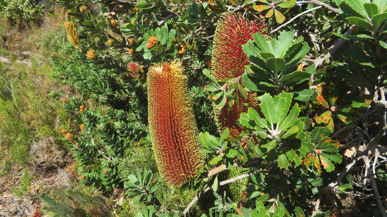
Many beautiful banksias.
The banksias are flowering now – one gully was just full of banksias as far as you could see – so beautiful.
As we got higher we saw the ocean several times. It’s a very different Southern Ocean to the one we’ve been used to, with only light winds and no rain the ocean, while not a millpond, at least didn’t have any white-caps.
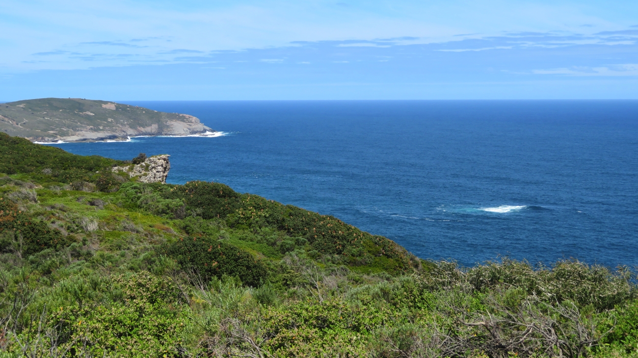
A very different Southern Ocean now – gone are the white caps and frenzied crashing of waves we’ve seen over the last week. Looks nearly good enough to go sailing.
The last section of the walk took us downwards again, still amongst the flowering bushes, banksias and wildflowers towards South Tennessee Road (Lowlands Beach) where we’d organised to meet the boys.
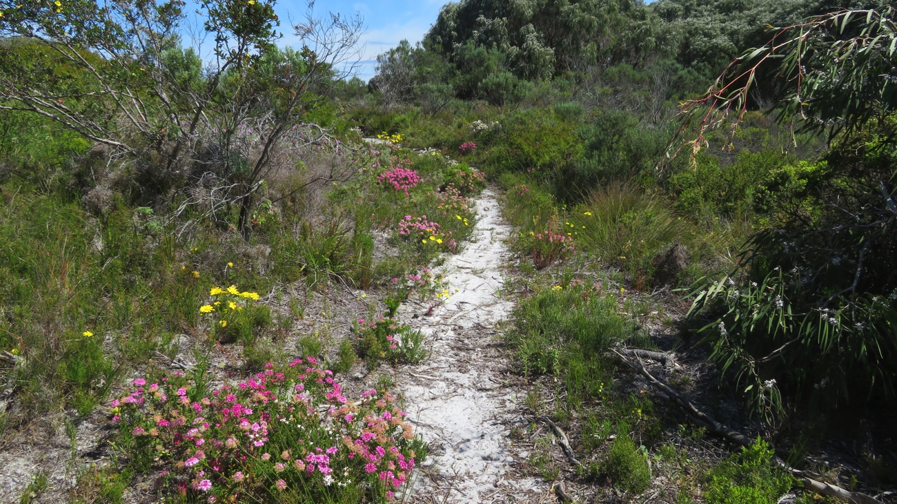
Wildflowers alongside the path kept us oohing and ahhhing at the beauty of the trail.
However we’d been making such good time that we were there about half an hour before they arrived. So, in true Bibbulmun-walker spirit we walked along the road to meet them. A 24km day today.
We shared the roast Steve cooked in the DreamPot and followed it up with dairy-free mango mousse – delicious. Big brownie points to Steve.
Wednesday 1st November
REST DAY! Yippee! And what a lovely day it was too. A nice sleep-in, followed by a delicious lunch at Lakeside Winery and Restaurant, then an 80-minute massage. The Support Team excelled themselves! Could life get better than this!
Thursday 2nd (Day 9)
After such a wonderful day yesterday it was hard to get back into it today, but we did! Today’s walk took us steadily upwards from the double bay of Lowlands Beach into West Cape Howe National Park where we walked along the ridge just inland from the ocean admiring the rugged sea cliffs. A pause at West Cape Howe camping shelter was appreciated.
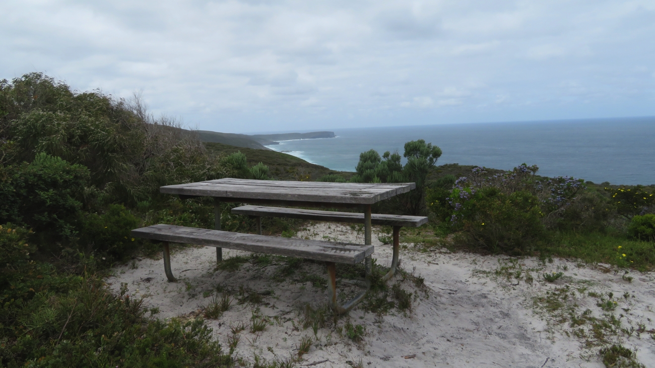
A picnic table at West Cape Howe camping shelter – what a wonderful place to watch the sunset. A bit too early for us though and no plans to be out at sunset.
Once more the views lovely, the wildflowers colourful and abundant and the track very good – no muddy patches, no confusing signage.
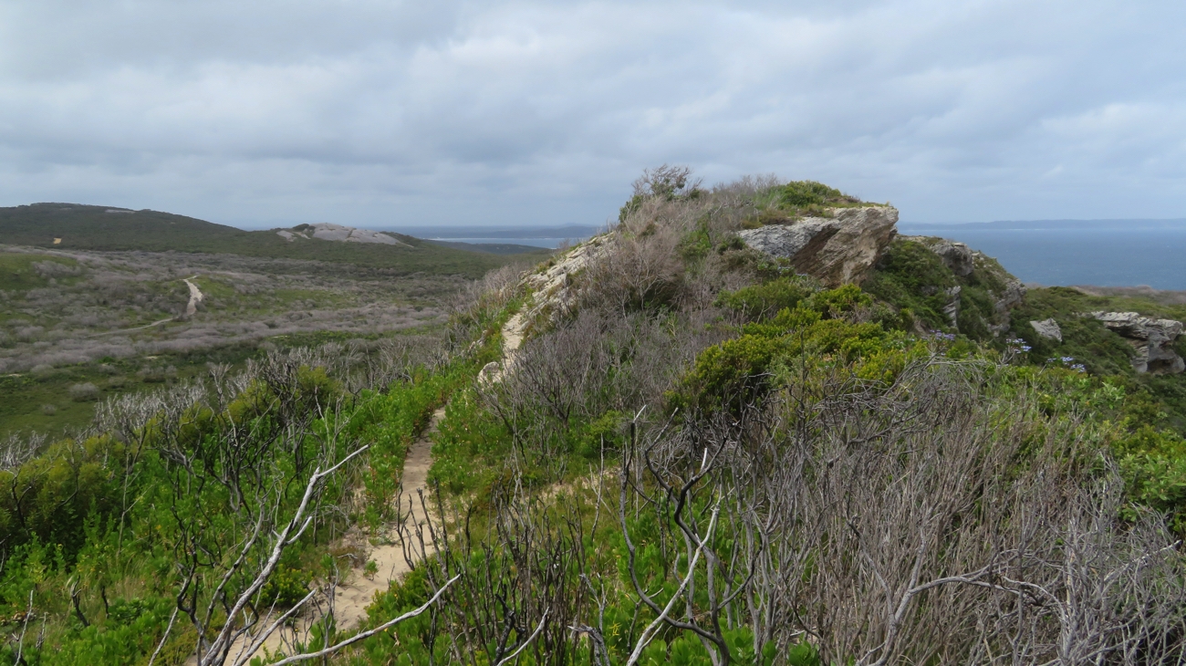
Our path over this rocky hill gives views to ocean and West Cape Howe NP.
Wildlife wasn’t so prolific today with only a couple of black cockatoos, a couple of hawks and a few smaller birds to keep us company. It was a one-snake day – Trish stood on it! Luckily for her it was only tiny and keener to get away from her then to seek retaliation. We did see a very large snake skin though – would be happy not to see it’s previous owner.
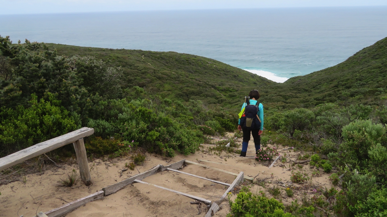
Walking down those awkward steps – but very pretty.
We covered 17.5km over about 5 hours, plus an hour or so for breaks.
Friday 3rd (Day 10)
There was plenty of variety in today’s walk. Headland tracks with wonderful ocean views, melaleuca trees in low-lying swampy areas with yet another muddy flooded path to be negotiated, heathlands to about 2 metres high covered in wildflowers, steps, lots of steps leading down to the beach to finish with our favourite (not!) about 6km of beach walking.

The walk goes through a tunnel – kind of.
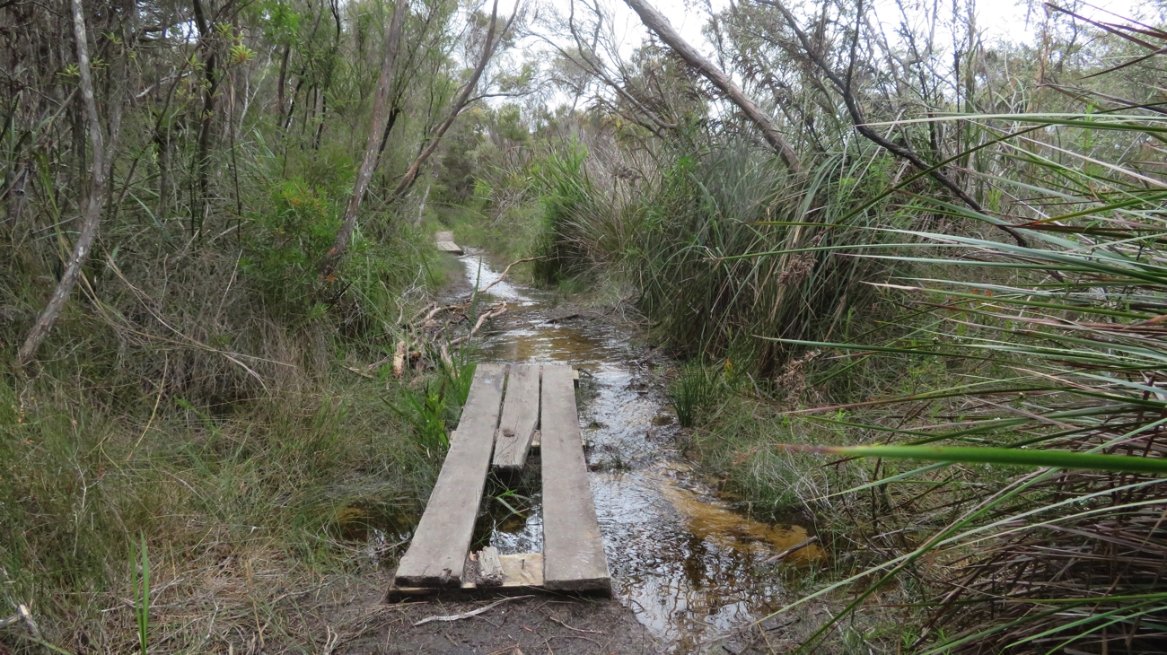
Oh dear – back to muddy paths!
Just before the hut about 5km into the walk, we were overtaken by other Bibbulmun walkers – two 20-something lads carrying the most enormous backpacks. At the hut we chatted with them for a little while before a man in his 60s walked in, an ‘end-to-ender’. It was pretty exciting to meet so many other Bibbulmun walkers considering the scarcity of them to this point.
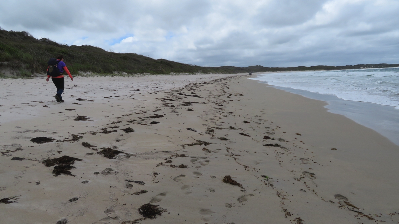
And so begins another beach walk. Heading towards the Torbay Inlet.
Our main concern was crossing the Torbay Inlet, which is periodically closed due to the volume and rate of flow of water out of the inlet, necessitating a 19km detour!!! Enquiries indicated it was open, maybe shin-deep, but watch the tide. As it turns out we’d be there spot on high tide. High tides also make beach walking difficult, walking high on the beach through soft sand. The winds have dropped to about 20-30km an hour, however they’re right on the nose now. With all this in front of us we intrepidly pushed forward, negotiating a rocky outcrop midway along the beach where the tide was too high for us to walk around it.
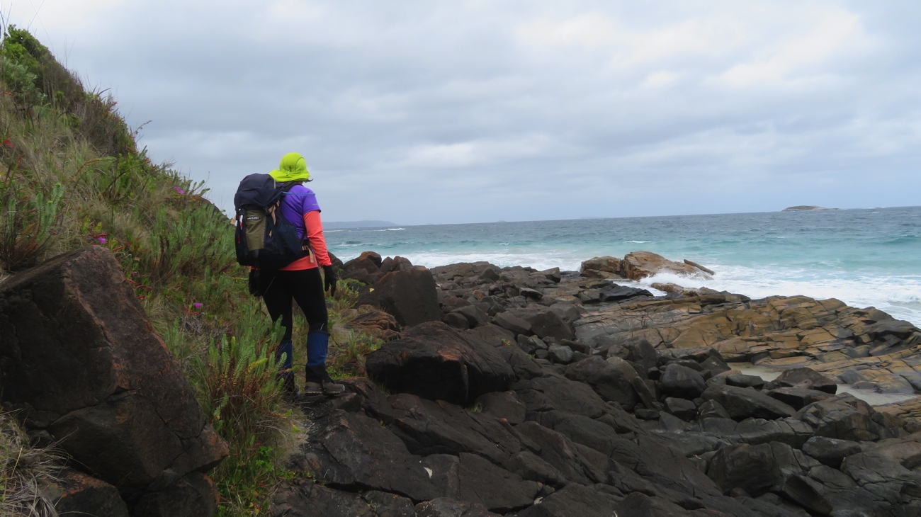
A rocky headland on the beach had to be negotiated.
With stress mounting we arrived at Torbay Inlet to find a sandbar, high and dry, right across the mouth. An anticlimax in the end. We left the beach a couple of kilometres after this, climbing up the cliff face to Muttonbird Lookout to be met by our wonderful, worried support team, concerned we’d been swept away at the inlet.
12.5km today, but note that half of that was on soft sand!
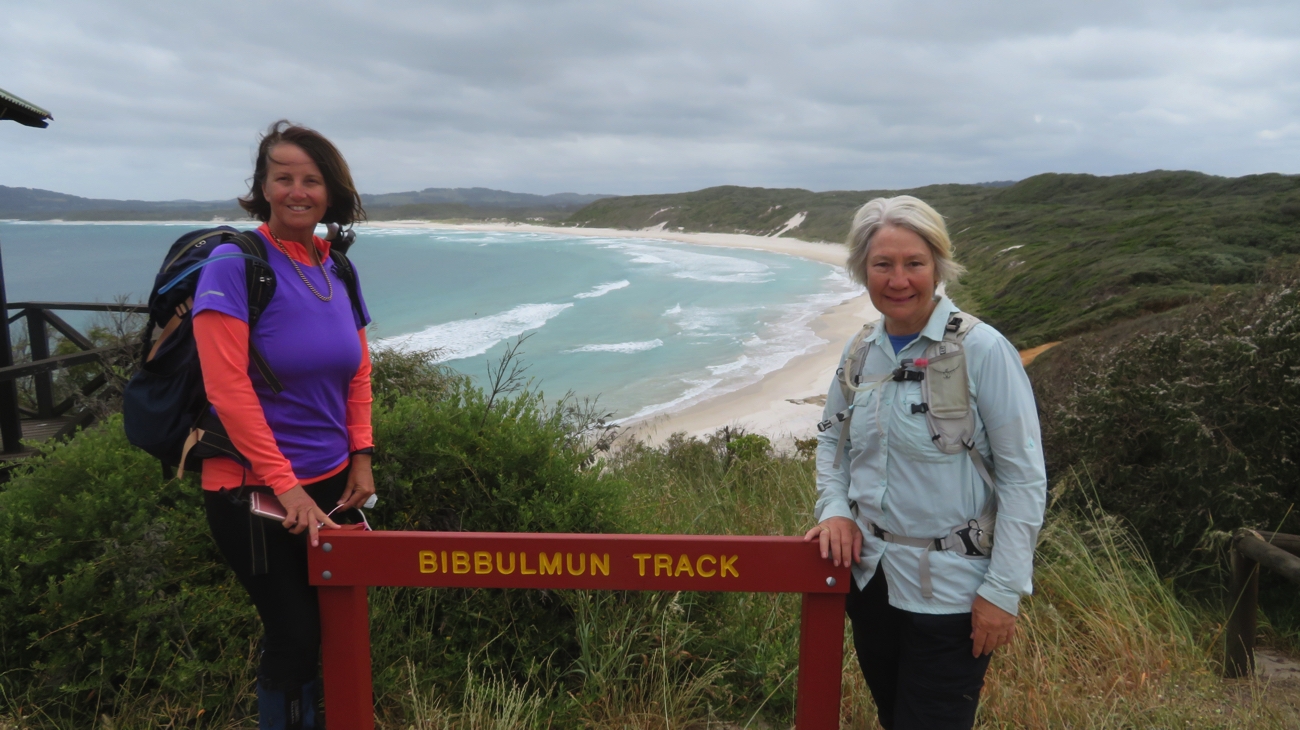
Yep, that’s the beach we’ve just walked along. Pleased it’s now behind us.
Saturday 4th (Day 11)
Starting where we left off yesterday at Muttonbird Lookout our walk took us predominantly along the coastal headland high above the now tamed Southern Ocean. The wind has dropped and the dark foreboding clouds have disappeared leaving us with blue skies and fluffy white clouds. A unique experience for us!
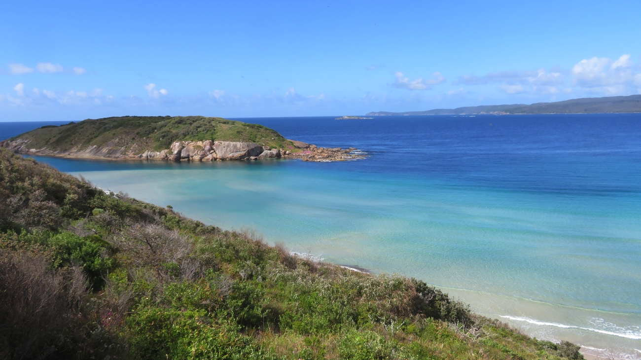
Muttonbird Island. Just loved all the different shades of blue.
There were several places where we were provided with seats to sit awhile to admire the view. At one such spot the blues of the ocean changed from pale yellowish-blue covering shallow water to go deeper and deeper blue until it was almost indigo on the horizon.
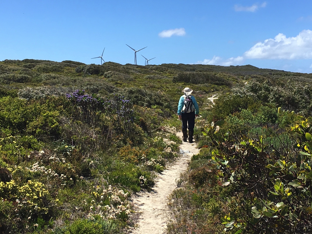
Approaching the windmills. Today’s walk will end after we’ve passed them all.
The last several kilometres of today’s walk was alongside the Albany Wind Farm. The closer you get to wind turbines the more elegant they appear – the ultimate in streamlined design. The soft whoosh, whoosh from each as we walked by pleasant on the ear. The eighteen 65-metre towers here are positioned along the coastal cliff some 80 metres above the ocean each with three 35-metre blades. Apparently their positioning is perfect along this perpetually windy coastline, providing 80% of Albany’s electricity needs.
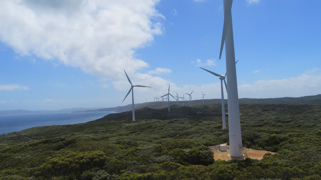
Looking back on the windmills and coastline.
This completed our walk for the day at Sandpatch – 14 km.
On the way back to camp we passed Australia’s first (and supposedly best) whiskey distillery which we couldn’t, of course, just drive by. A wee dram eased a few aching muscles.
Sunday 5th (Day 12)
Our last day – only 15.75 km to complete the 205 km walk into Albany. We started on the headland; once more we got spectacular views of the coast and ocean, as well as wildflowers in the heathlands.
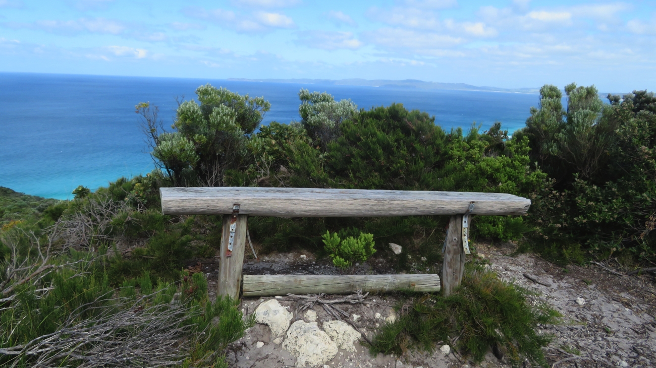
Another delightfully positioned spot to rest. It may not look comfortable, but it is better than the ground, and by not having a back on it you don’t have to take your backpack off.
The banksias here are a little different to the ones further up the coast, but equally as beautiful. Flowering peppermint trees have lined our walk for the last several days. These trees are covered in little white flowers and having narrow drooping leaves which, with a little imagination, smell like peppermint when crushed.
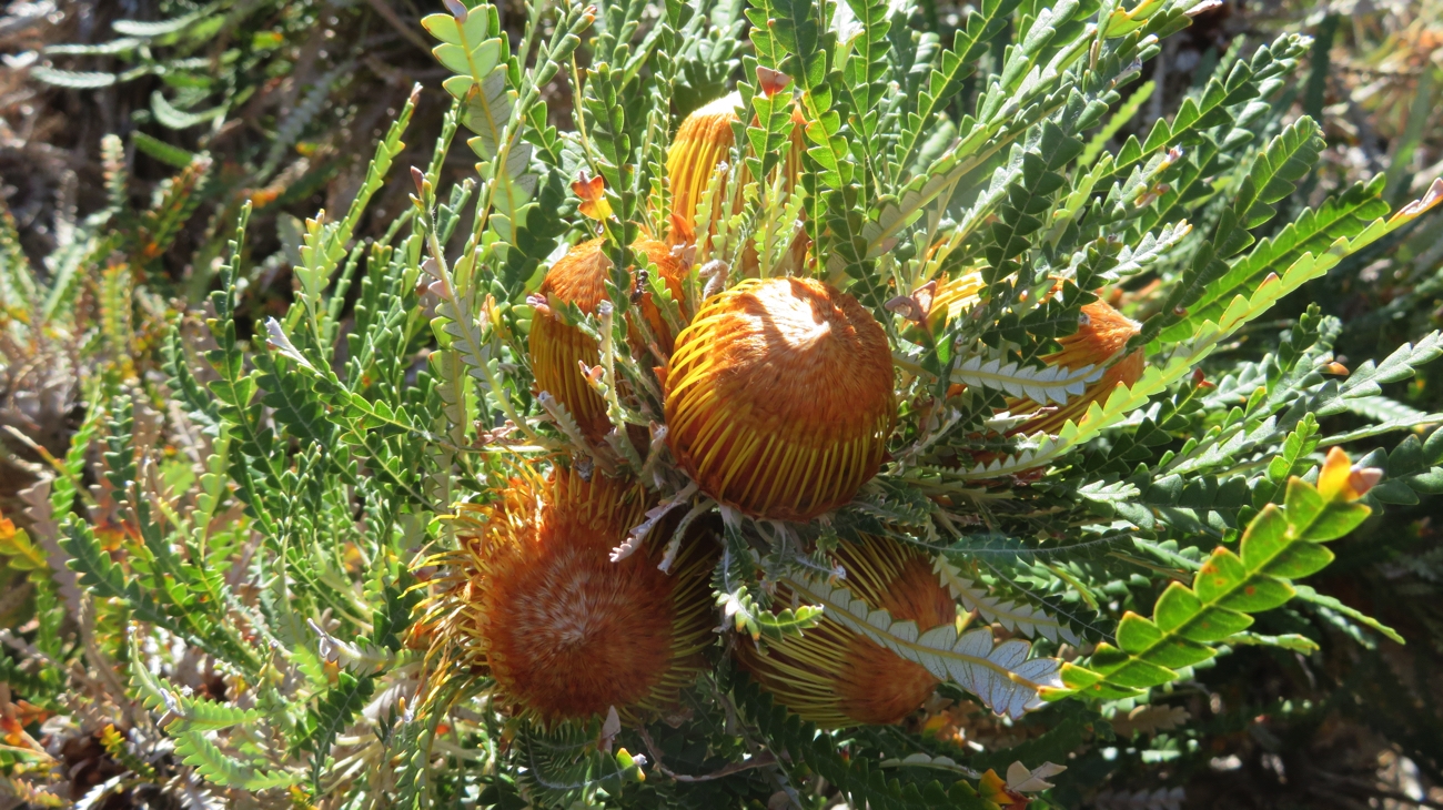
Still seeing wildflowers we’d not seen before.
The path took us across a peninsula from the Southern Ocean through Torndirrup National Park to Princess Royal Harbour; Albany being positioned between this harbour and King George Sound.
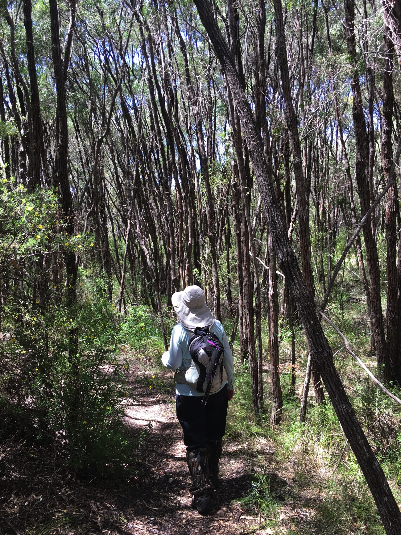
We’ve left the ocean behind and now heading through Torndirrup National Park.
As we got closer to Albany we started to meet day walkers. The path took us past some lovely homes overlooking Princess Royal Harbour along the shores of which we walked. This is a well protected and very large natural harbour that is relatively shallow – about 2 metres deep. On this very windy day the windsurfers were fairly flying along.
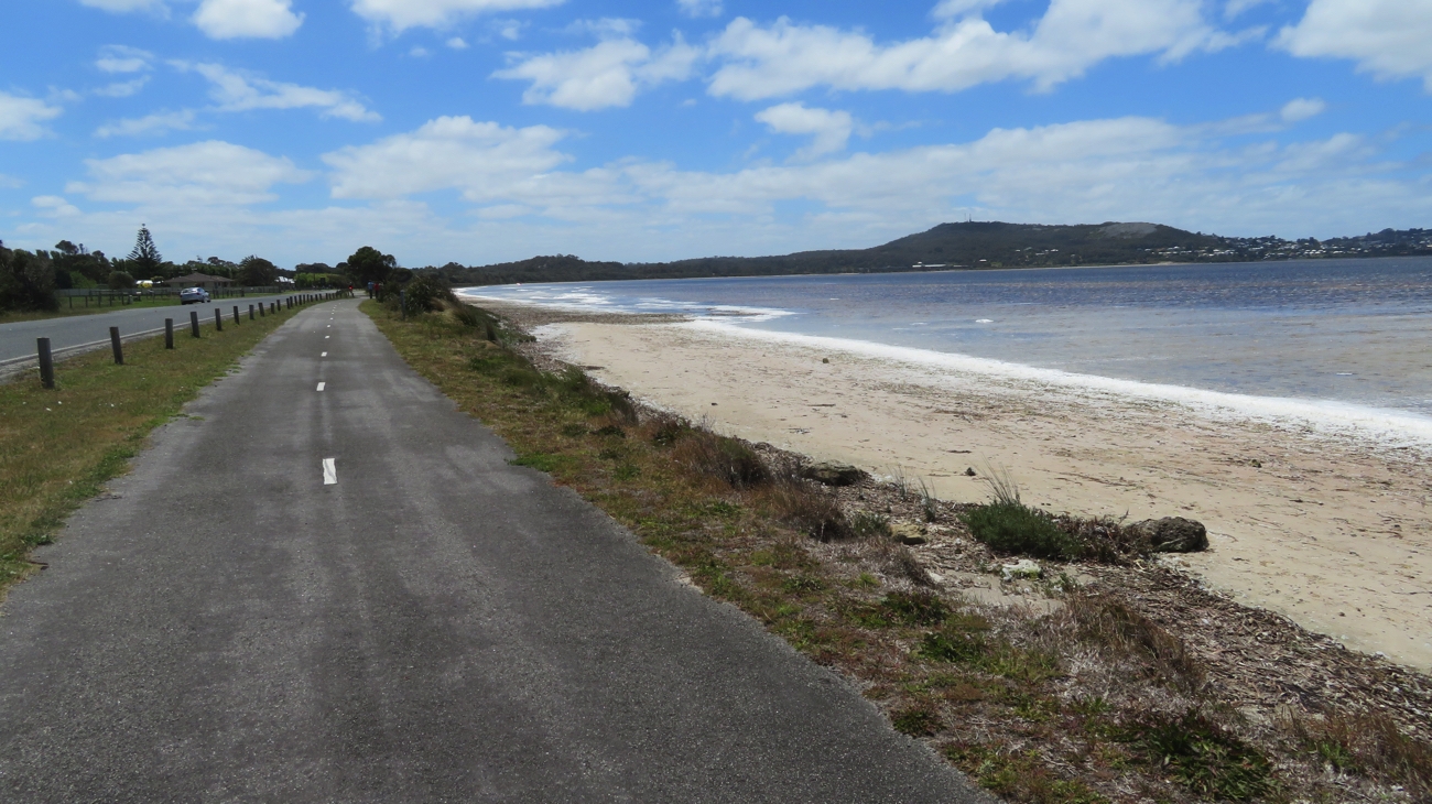
Walking along the track towards Albany, which you can see across Princess Royal Harbour.
In the early 1900s it was dredged and huge jetties built to accommodate big ships. Of note in 1914 the ships carrying the Aussies who were to become the ANZACs left from here. Today the departing ships carry woodchips, silica sand and grain.
The walk through the outer suburbs and up and over a rocky hillock lost its enjoyment as all I could envisage was finally arriving at the Information Centre, the end of the trail.
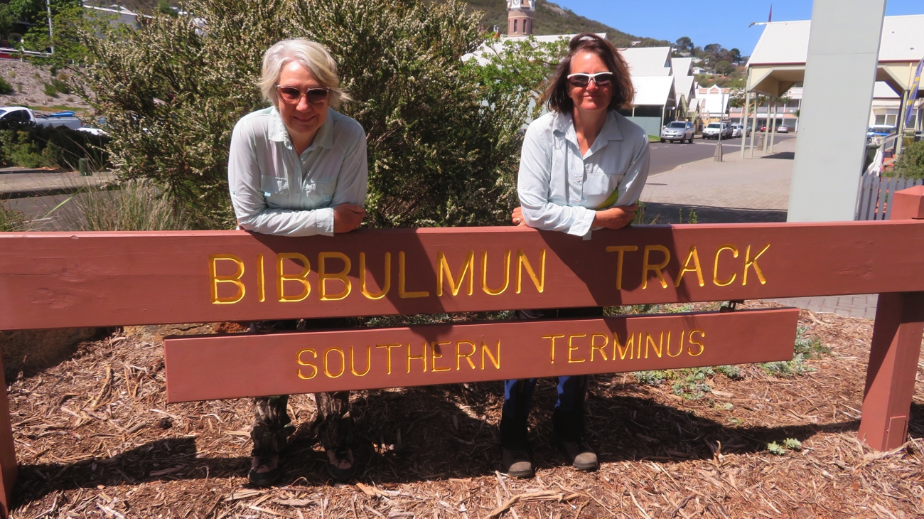
We made it!!! 205km later we’re at the Albany Trailhead. What a wonderful feeling!
At last the end was in sight and our wonderful support crew had set up a finishing line with tape for us to run through. It was a great feeling. I signed off in the Log Book in the Info Centre then we all sat in the Rose Garden outside and drank champagne.
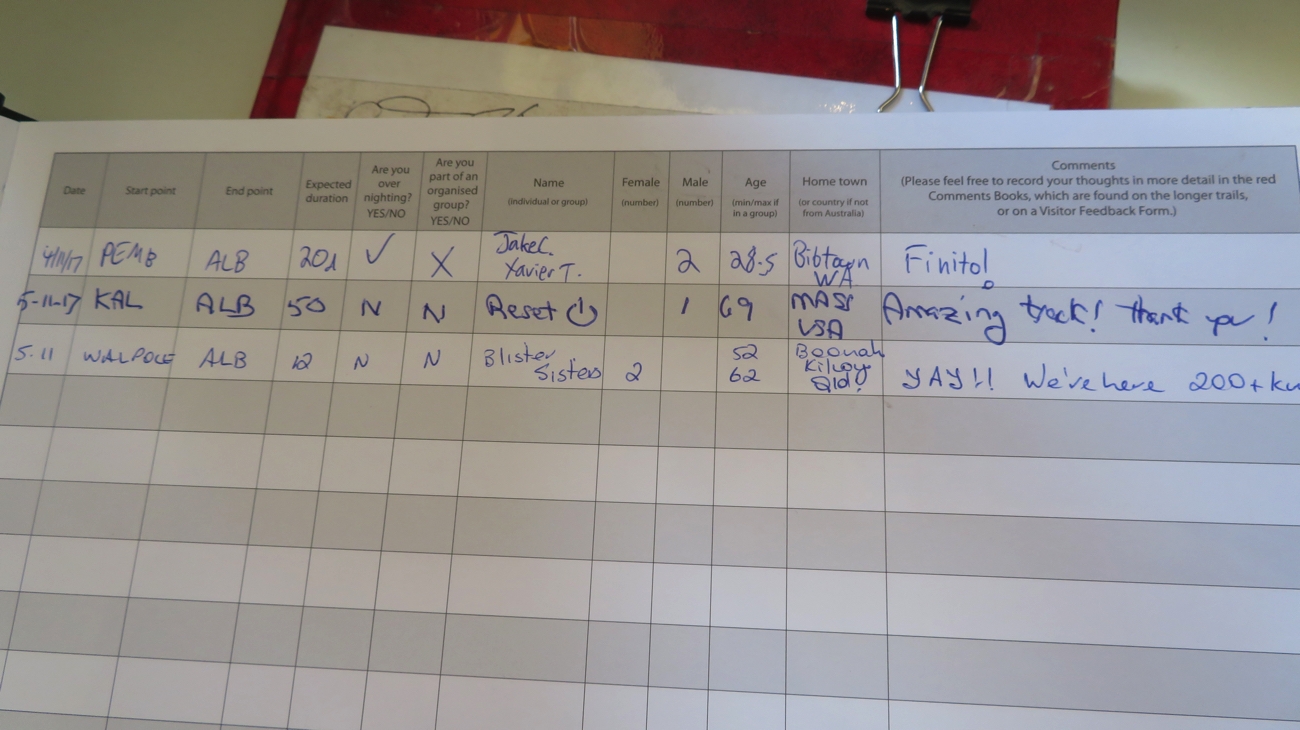
That’s us, signed off in the last logbook!
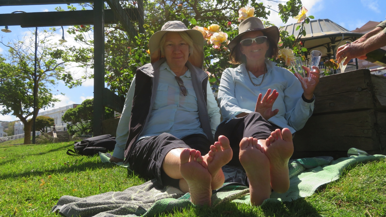
Oooo that feels good! And not a single blister between us!!
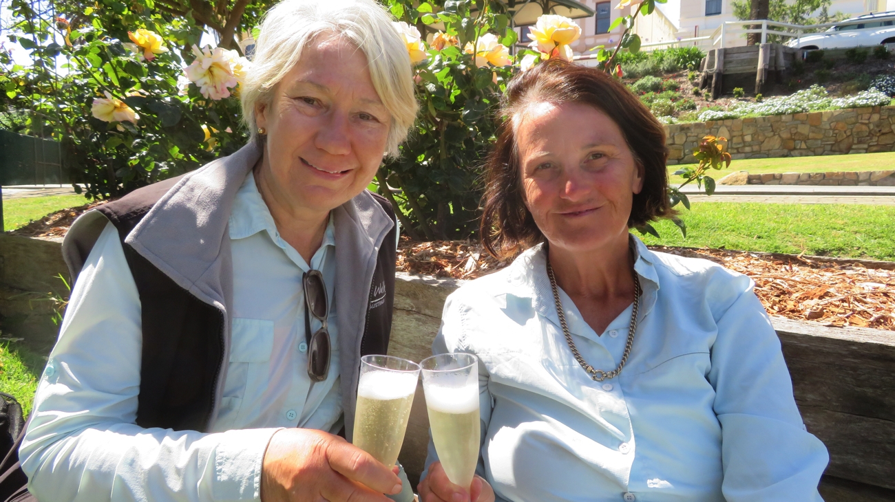
We really enjoyed that champers in the rose garden.
For more photos from this section of our walk CLICK HERE.
Some reflections of the walk….
For me it was quite an achievement, the longest distance I’d ever walked day after day.
The variety of the walking is what made it so enjoyable – inland, coastal, beach, headlands, alongside rivers, forests and the wildflowers … they were most certainly a highlight.
Other than where the path was flooded, it was nearly always a good surface to walk on … oh yes, exclude the soft sand beach walking from that description too!
Walking with Trish was enjoyable. We both had strengths and weaknesses and complemented each other well.
Being picked up every afternoon to have a meal cooked and a comfortable bed was a treat. Occasionally I’d read in the logs how much other walkers enjoyed watching the sun set (or rise!) over the camping shelter and I thought how nice it would be .. but not as nice as my proper meal and bed.
On our travels through WA we’ve walked on several short sections of the Bibbulmun, but I think we did choose the most beautiful sections to walk.
Would I come back to do more sections … hmm, not on my radar at this time. Maybe I’ll change my mind later.
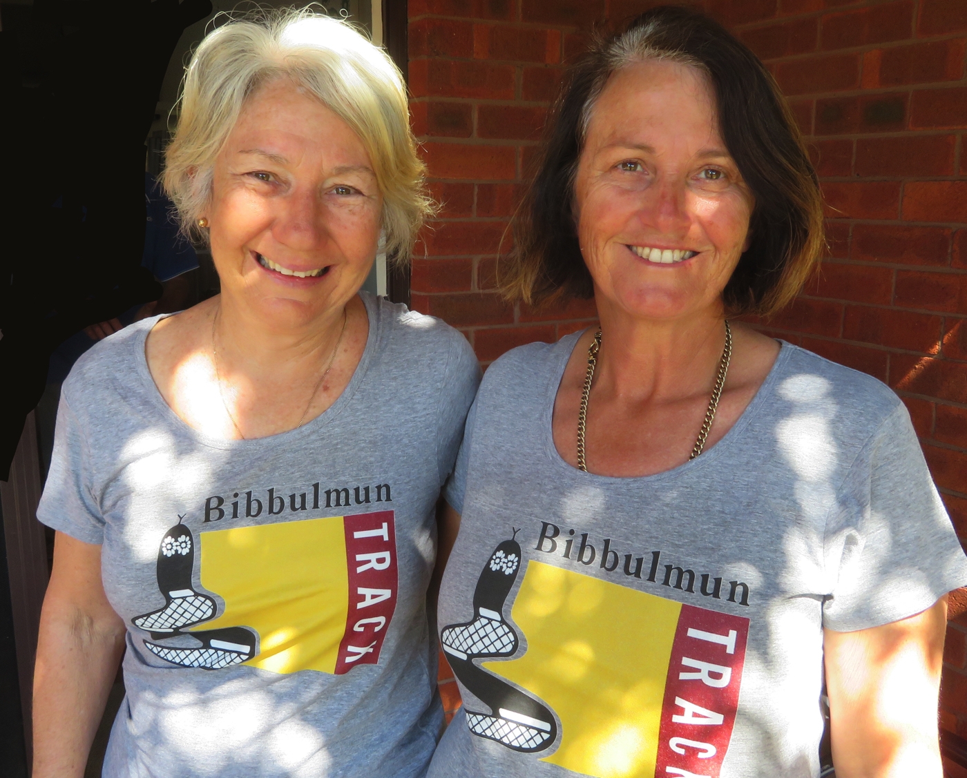
Well earned, and well loved t-shirts.