The big excitement for today is that the bridge that carries the Pacific Highway across the Clarence River at Harwood is too low to allow masted vessels to pass underneath. Hence the bridge can be raised with 24 hours notice. So today at 2.30pm we have the supreme power of stopping all the traffic on that very busy highway while we float graciously past. Should I be lazing on the bow with wine glass in hand as I simulate the Queen’s wave, or not?
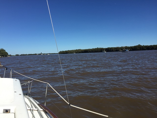
Leaving Iluka was easy – I took her out, and though I was nervous the careful instructions given to me by the Skipper were followed to the letter and worked a treat. We just needed to round a couple of bends in the river to get the ‘fare winds’ from the right direction and up went the sails. Ahhh the bliss of turning off the motor and sailing – it’s pure joy. The winds were gentle and we probably didn’t exceed 3Knots but that took us at the perfect pace to enjoy the river and river bank as we went. Lots of lovely homes were built close to the banks – mostly on built-up pads. I wonder how they go when the river floods.
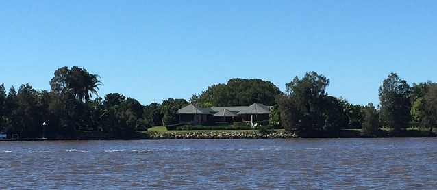
Classy riverside homes between Iluka and Harwood.
There were various industries along the riverbank too, such as slipyards, sugar cane farms and the sugar mill. The majority of other river traffic was prawn trawlers – and there were a lot of them! It was interesting watching them working. The river at the moment is the colour of chocolate with lots of flotsam from the recent heavy rains the district experienced. The locals tell us the river is much higher than usual and flowing very fast. Apparently the trawlers can’t work as far up the river as usual because the current is too strong for their nets.
Bit hard to see, but there’s at least 7 prawn trawlers working the far side of the river in this photo.
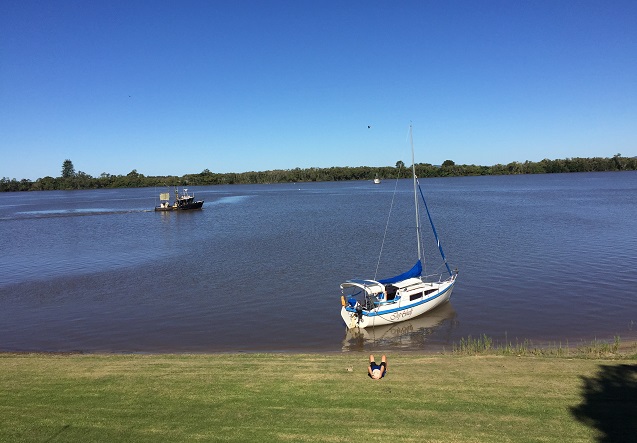
Wasn’t long before the Harwood Bridge came into sight and we had about an hour and a half to put in before it opened. We looked around for a place to pull over and found the Big River Sailing Club just before the sugar mill. No jetty, but a lovely little sandy beach beside a well-tended lawn leading up to their clubhouse. We pulled Top Shelf in and had a picnic lunch on the lawn.
Whiling away an hour before the bridge is booked to be opened for us. Prawn trawler in river. Harwood
Eventually it was time for the bridge to open for us so we motored on over, the bridge man waved hello, stopped all the traffic and waved us on through. No I didn’t have the glass of wine in hand!
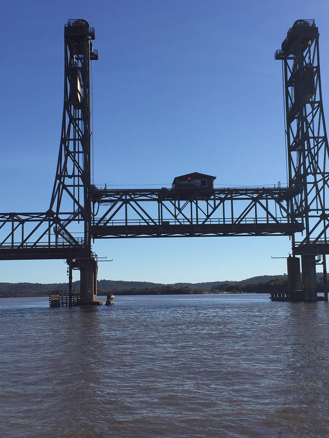
And up she goes! When the light on the control room turns green we can go under that part. Harwood Bridge
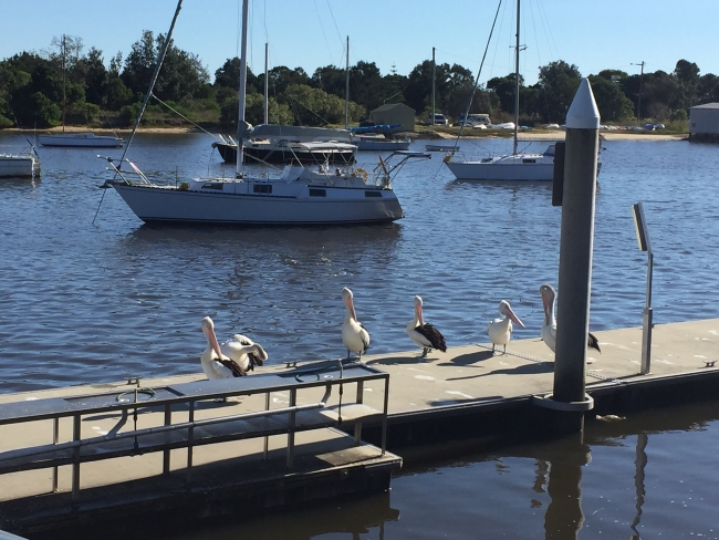
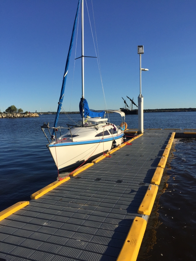
The Harwood island pontoon is just the other side of the bridge so we were tied up securely in no time at all. Took a walk around this delightful little town (doesn’t take long), back for a drink at the Harwood Hilton and a delicious meal onboard.
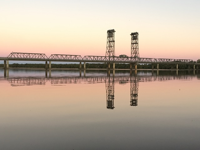
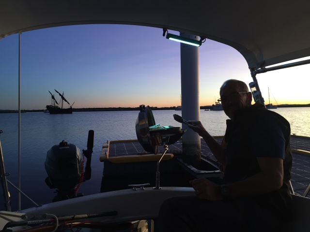
Sunset view of the Harwood Bridge from our mooring on the pontoon.
For more photos from today’s sail please click HERE.