Saturday 25th
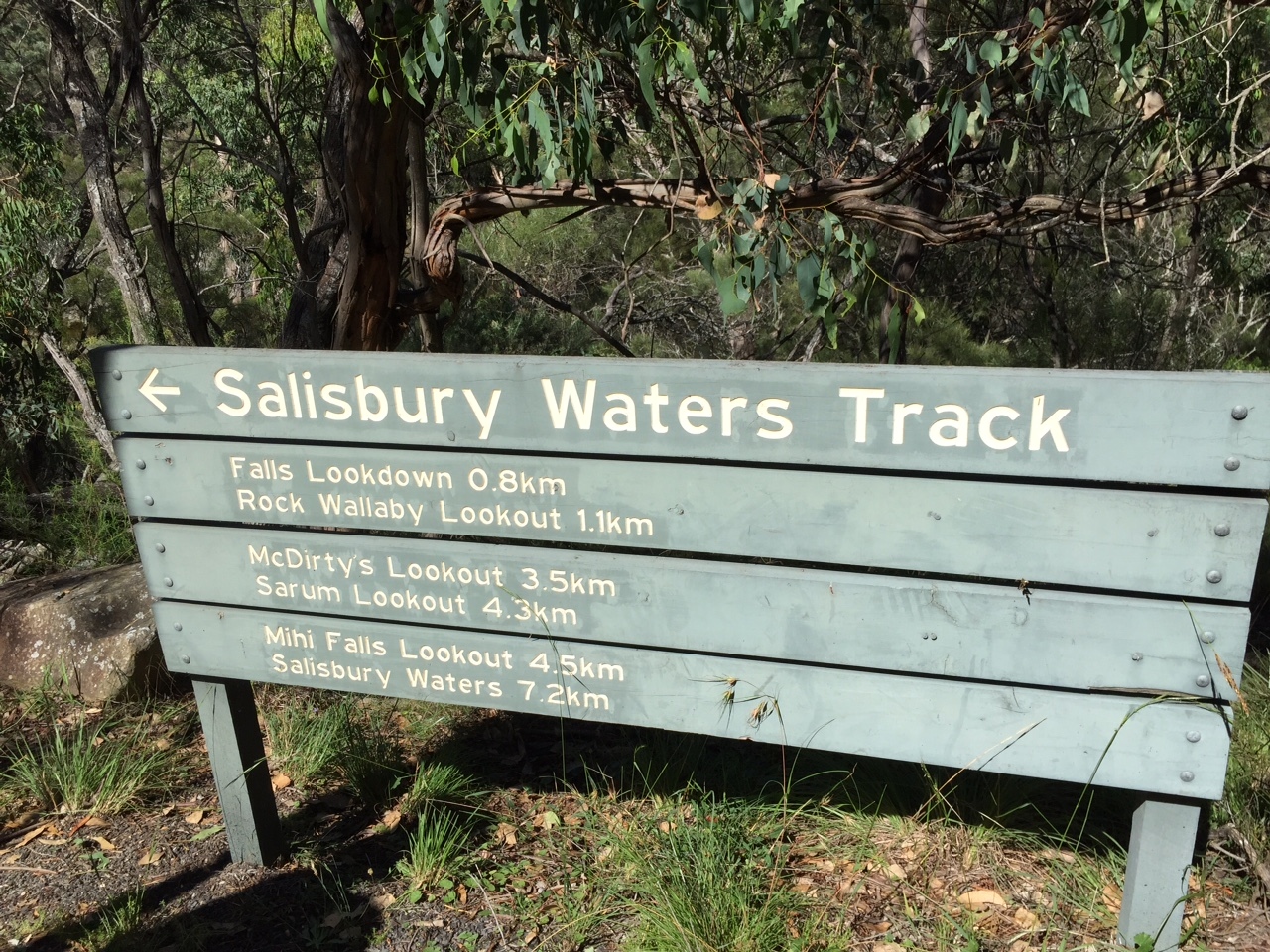
We decided to do the two other walks today, one this morning to Shepherds Peak and one this afternoon to the Lookout then spend tomorrow doing nothing all day. Sounds good.
The steep climb up Shepherds Peak was worth every one of the many calories expended getting there.
Shepherds Peak is a sandstone plateau about 2K from camp. An easy walk to get there, but quite steep to climb to the plateau. Listed as a Class 4 walk it was tricky in places and demanded full attention. Steve stepped on a loose rock crossing one of the crevasses and took a tumble sustaining only hurt pride fortunately as a huge boulder blocked his descent down to the bottom! On top the views over the park and gorge is excellent – 360 degrees. Again with sheer cliff edges and lots of crevasses it’s not a place you’d take children.
We spent quite a while exploring the plateau and taking photos – every view was so rewarding. AND we got phone cover so checked emails and phoned family.
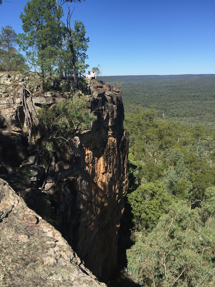
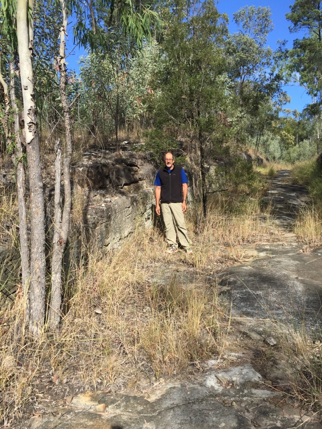
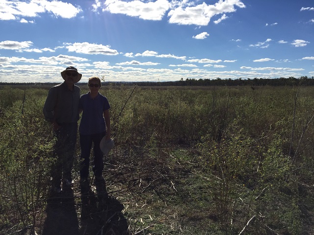
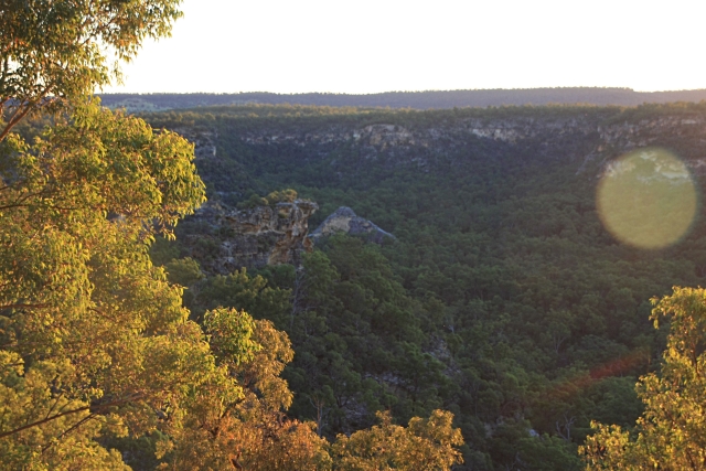
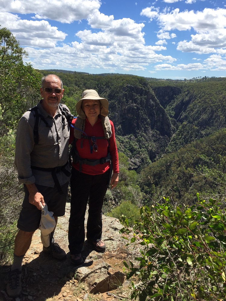
Shepherds Peak. Can you see us on the far cliff?
Back to camp for lunch.
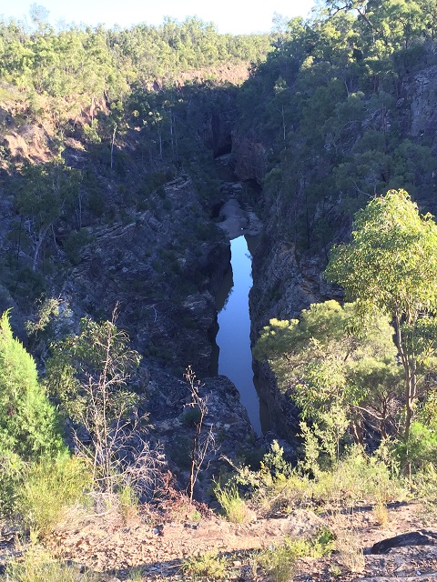
Robinson Gorge Lookout late afternoon. We toyed with taking wine and having wine o’clock watching the sun set over the gorge, but with a 2K walk back to camp in the dusk we thought we might be cutting it too fine. And there was also the access to the gorge here which we thought we’d like to do. So off we set sans vino (mixing my languages there maybe).
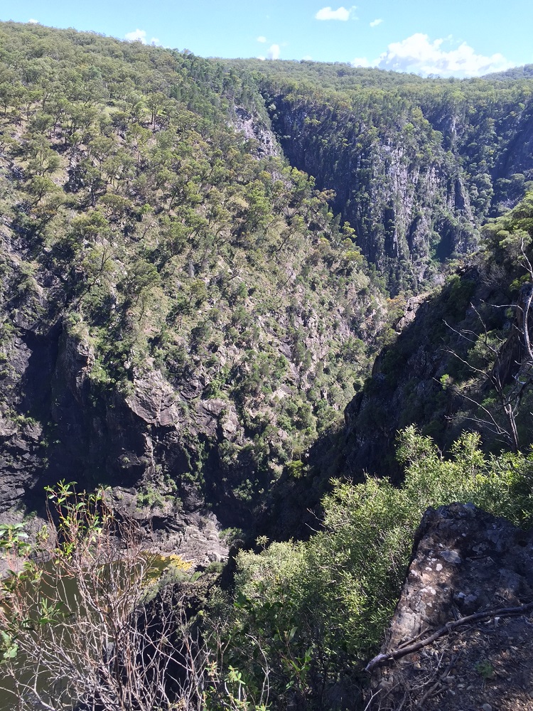
Again wonderful views and well worth every step. The gorge floor looked so interesting and inviting to explore. We took a look at the access to the gorge and decided we’d really like to spend lots of unhurried time exploring down there so put it off until tomorrow.
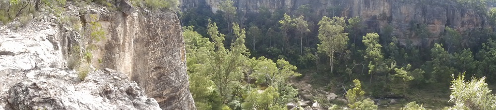
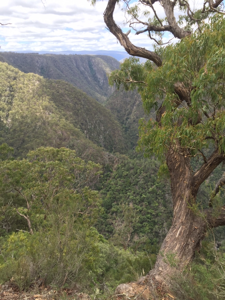
The northern end of Robinson Gorge.
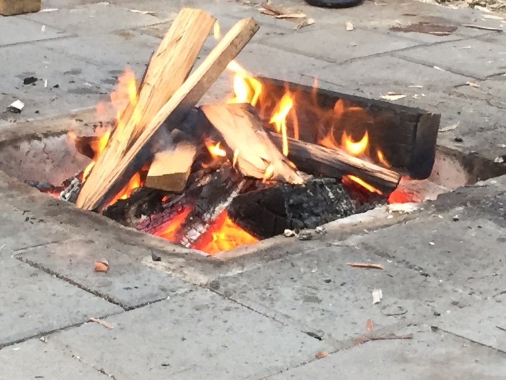
Back to camp for the usual – campfire, wine, chat, dinner.
We’ve been very lucky with the weather – chilly mornings and evenings but glorious cloud-free days. The sky at night is just a million stars – even a shooting star!
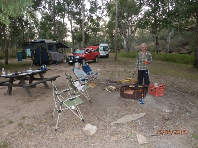
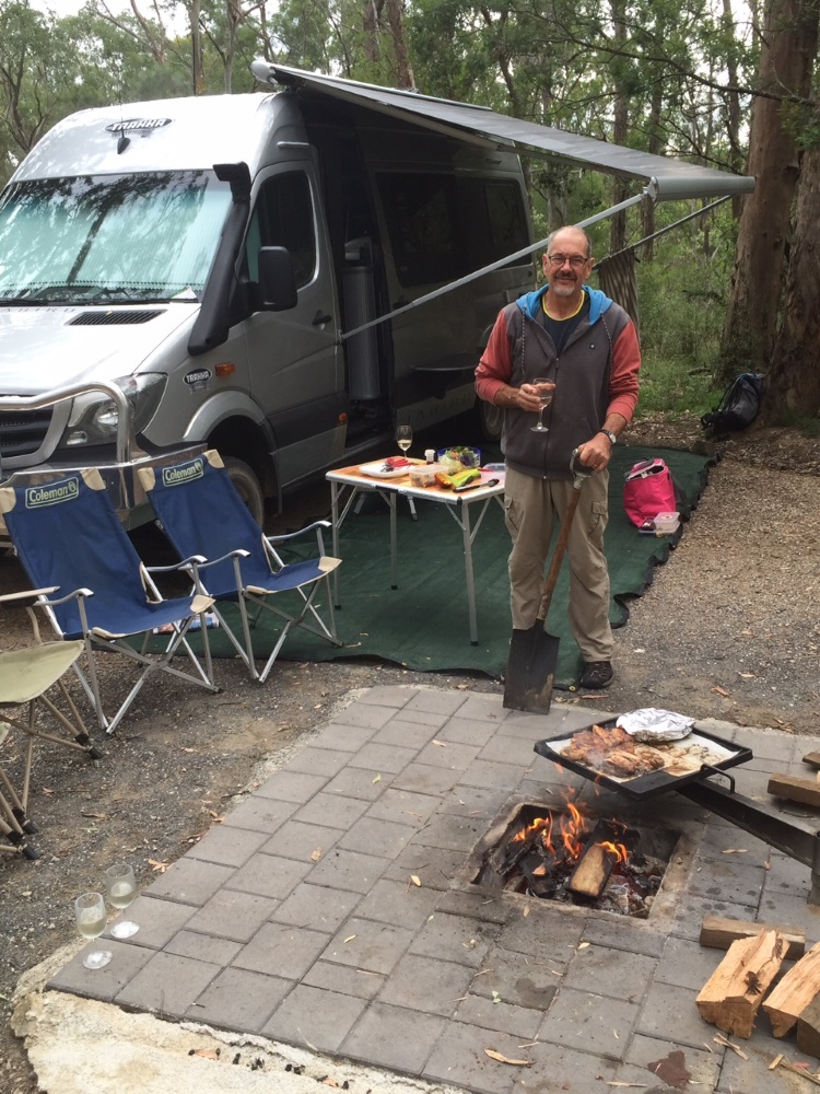
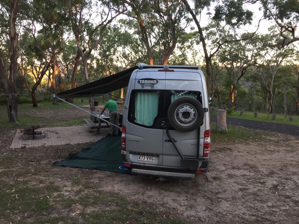
One worker; one supervisor! Campsite BBQ at Robinson Gorge
To see more photos from this section of the trip click HERE.
Sunday 26th
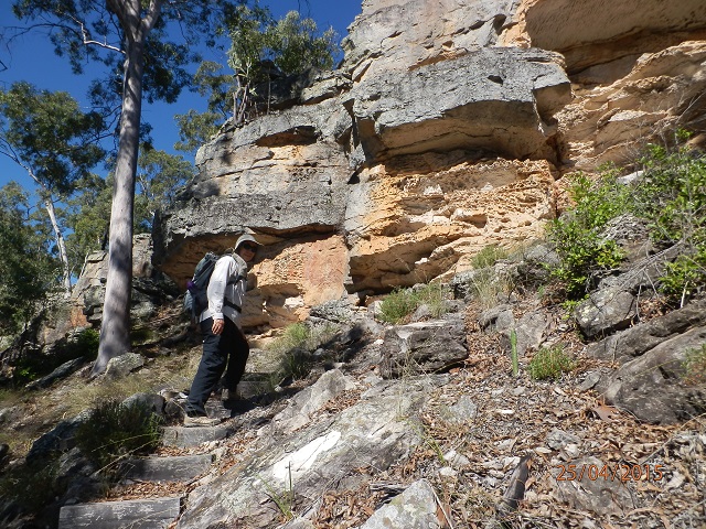
After breakfast we all headed back to Robinson Gorge Lookout to explore the gorge floor. This is the only place you can get down the gorge cliffs. Needless to say it was very steep and we went down much of it backwards. However National Parks has cut foot-holes into the sheerest parts of the sandstone to make it do-able. There was also a steep sandy part too that we slid down – going up this bit was tough.
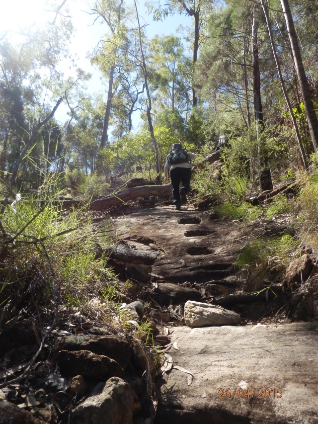
Conveniently carved stone steps. Photos always make it look less steep that it actually is!
On the gorge floor it felt like we were in the Journey to the Centre of the Earth where the plants were unique and it felt so different from ‘up there’. We scrambled over rocks and logs and got to the water’s edge and followed it, with lots more scrambling and climbing for a while before heading back. The climb back up the cliff, while strenuous, didn’t seem as difficult as the climb down, apart from the loose sand section.
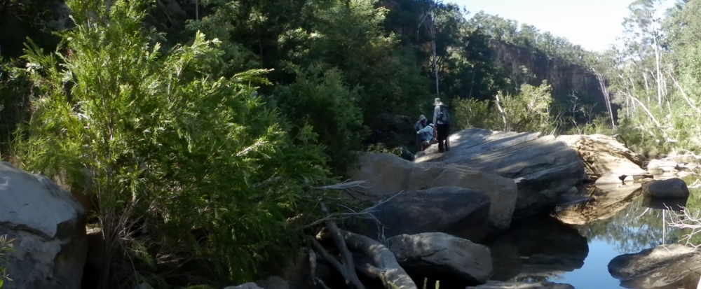
The gorge floor. Challenging to explore.
We were back in plenty of time to shower before lunch, then more relaxing. Played 500; chicks vs cockrels, with chicks winning convincingly, naturally.
The boys organised another fantastic campfire to cook our meal on and relax by until bedtime.
To see more photos from this section of the trip click HERE.