Our last day on the river dawned a little cloudy and a little windy – but nothing I could complain about. Grafton is just around the bend and won’t take us long to get there. A bit of wind again, but once more coming from the wrong direction.
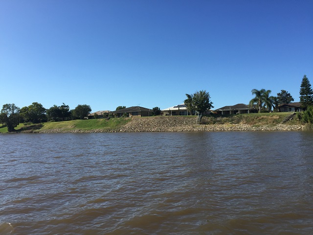
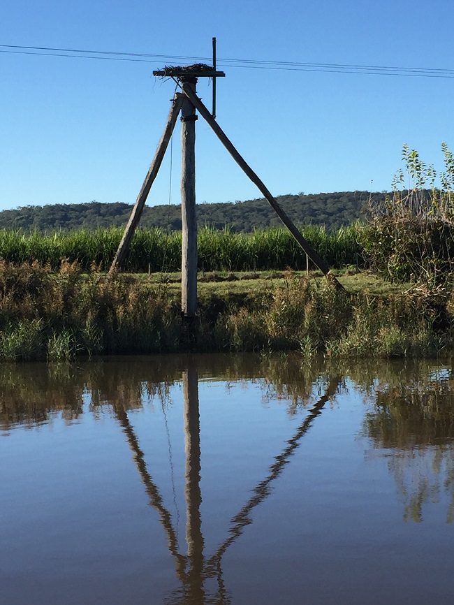
The Clarence River has flooded 74 times in the last 150 years. This was problematic for the agricultural interests around the river as it would take weeks, sometimes months, for the waters to recede. A series of drains and floodgate structures have been constructed which now allows the water to drain off within a couple of days. Levee banks have also been constructed around the urban areas. These are all visible from the river as you travel along.
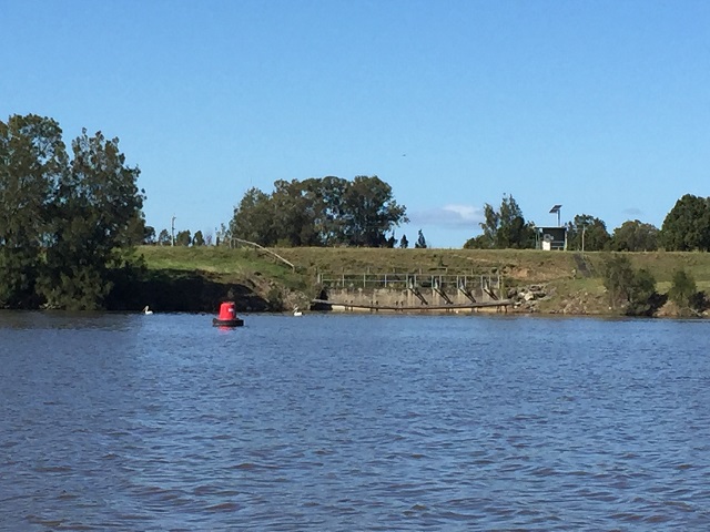
Flood mitigation.
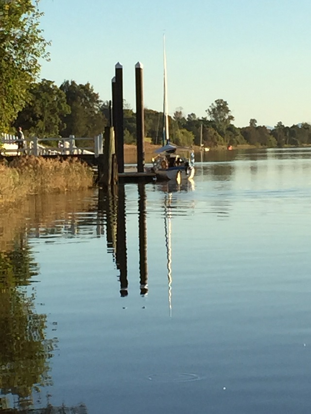
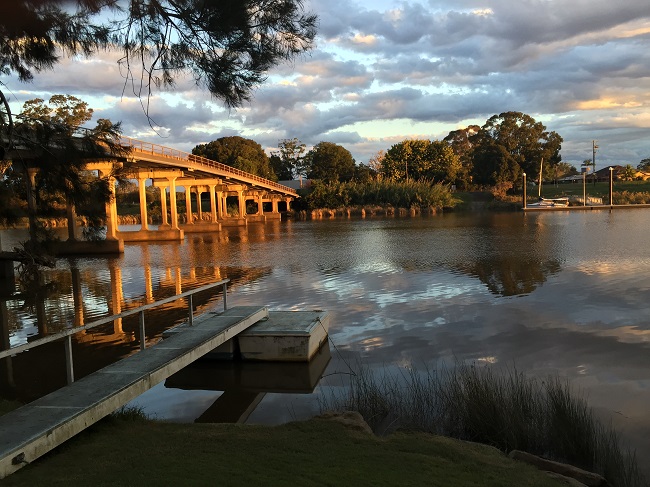
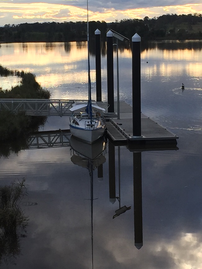
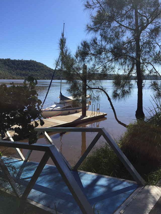
There’s no pontoon at Grafton! Quite surprising considering the fabulous pontoons we’ve been on all the way until now. We tied up to the jetty at Corcoran Park – ropes around poles and figuring how much to leave to allow for changes of tide. Have I been spoilt?
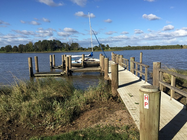
The jetty at Corcoran Park, Grafton. Quite disappointing after the excellent pontoons we’ve had everywhere else on the river.
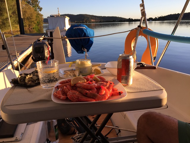
Anyway here we met up with our friends Derrick and Gwen who have been travelling Australia for the last three years in their motorhome towing their Farr trailer sailer. We first met them at Hervey Bay. After a morning tea catch-up we returned to Top Shelf for lunch and general fluffing around before walking to the caravan park where Derrick and Gwen are staying. They sailed the Clarence a month or so ago, taking 3 weeks to do it – much better idea than our quick trip. Before we left the boat a lovely gentleman and his little dog Minnie dropped by to say hello – a keen sailor for many years. Lives near Brushgrove and we chatted for quite a while about boats, as one does.
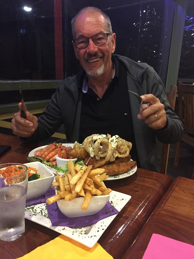
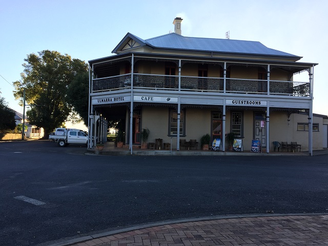
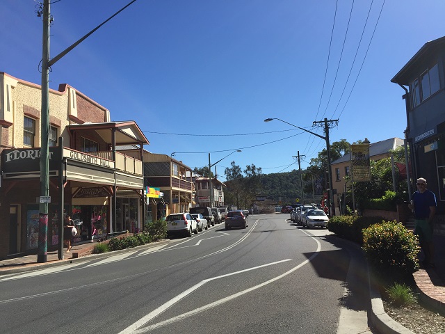
It’s ALL MINE! at the Village Green Tavern, Grafton.
Off to dinner with Derrick and Gwen at the Grafton Village Green tavern. Between us we bought enough raffle tickets in their meat trays to support the local sporting clubs for the rest of the year (no wins), had the most enormous meals you’ve ever seen and generally had a good time.
Day 8: Grafton to home
Steve was up early to catch the 7.30am bus back to Yamba to collect the car and trailer. I stayed with the boat – chatted with the (?) Commodore of the Clarence River Yacht Club who came over to welcome us. He tells me we could use their showers, toilets and park the vehicle and trailer there if we wanted – must remember that for next time. The Clarence Classic, a combination of racing and social sailing to Yamba and return, is on in the next few weeks. We can’t make it unfortunately, but I’m sure it would be fun.
Also watched the crew training in their dragon boat. And I believe they often exercise the horses in the river from this ramp too, though I didn’t see them this morning.
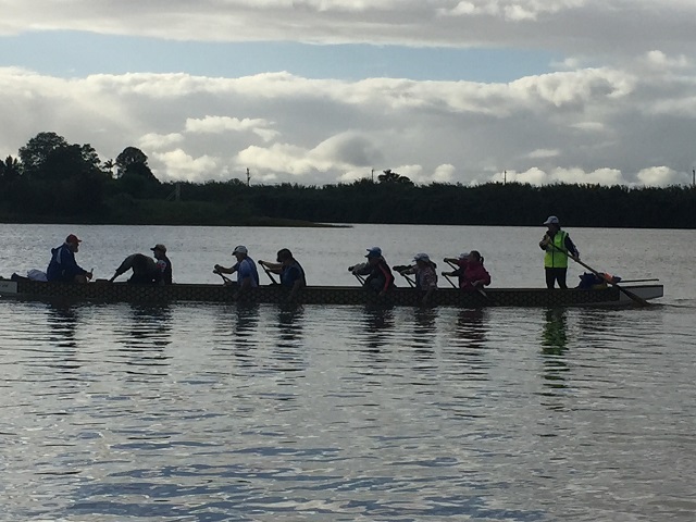
The Dragon boat crew out for early morning practice.
Steve got back around 10.30 – unfortunately the trailer was missing a rear wobbler. The local chandlery came to the rescue. We retrieved the boat, packed her up and were on the road by 1.30pm and home by 7.30pm. I write that so glibly, but as anyone who has a trailer sailer knows there’s a fair bit of work involved in the retrieval.

Nearly finished packing her up – just the mast to go.
On reflection it was an excellent trip. If we were to do it again I’d take more notice of the tides and the wind direction – we left in the mornings most of the time which coincided with the river flow being against us, and the winds were only useful to us once. I’d also take at least 2 weeks so we can have a few days off at some of these delightful villages. And I’d choose a time that wasn’t soon after heavy rains upstream – would be nice to see the river clean.
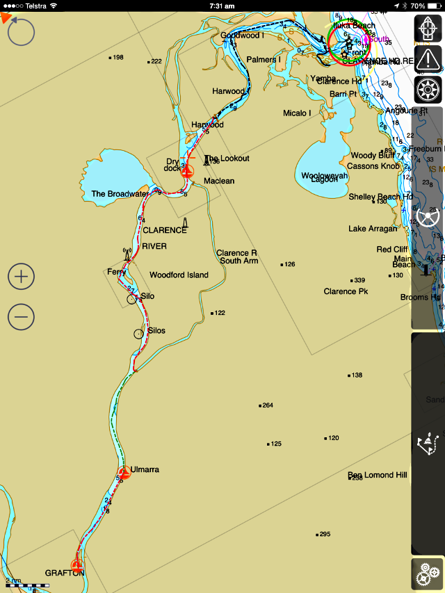
The track we took, as recorded by the software iSailor. 39nm in 6 legs.