18th June, 2015
Took a drive up Grassy Knoll for fantastic views over Cooktown and surrounds, then re provisioned, refuelled and we headed towards Laura. We’re planning on attending the Laura dance Festival on Friday afternoon and Saturday.
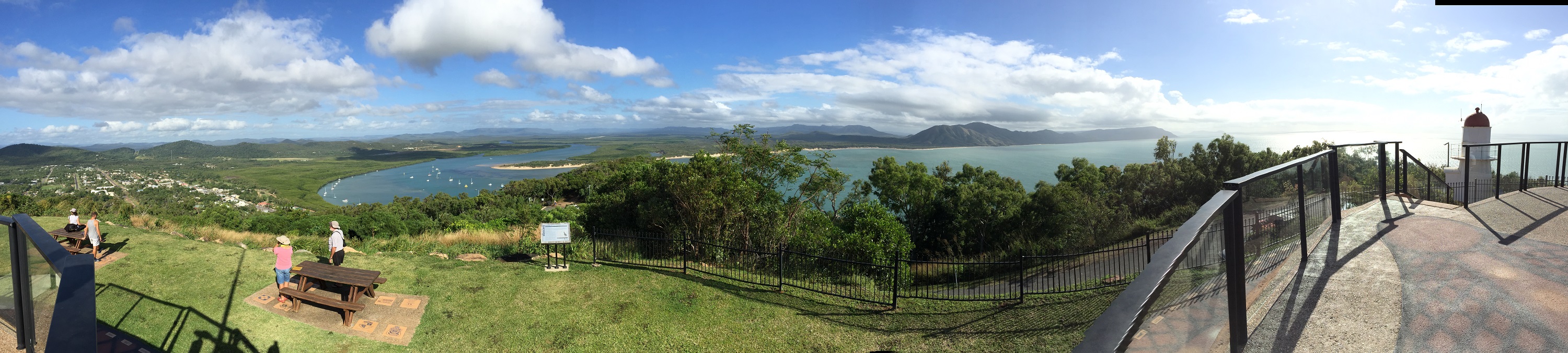
Panorama of Cooktown from Cooks Lookout. Cooktown is to the left, Mt Cook in the distance.
Click on this photo to see it full size – it’s worth it.
The small aboriginal township of Laura is in Quinkan Country which is nationally and internationally significant for its ancient rock art, particularly their depiction of “Quinkans”. Quinkans are spirits from aboriginal legend. There are two types of quinkan, the Imjim (bad) and the Timara (good). The Imjin were small and fat-bellied, with large ugly heads, long teeth and claws. They stole children and took them to their caves. They travel in giant leaps across the land. The Timara were amusing, unusual spirits who like to play tricks on people. The Timara were very tall with big ears and so skinny they could live in the cracks in the rocks. At Split Rock we did a self-guided tour of the rock before before going to the Quinkan Centre in Laura to book our tour for tomorrow.
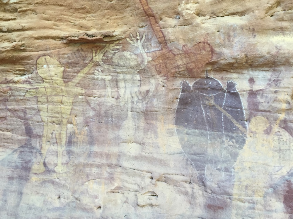
Rock art at Split Rock depicting Quinkans
The Quinkan Centre is an information centre illustrating the area, its geographical, aboriginal and white history. A great educational resource which we really enjoyed wandering around and learning so much.
Then it was off to Old Laura to camp at the old Homestead. The Homestead had been pivotal in the pastoral industry supplying meat for the goldfields. There were other campers there but we couldn’t see them or hear them. Our campsite was huge, amongst shady trees – no facilities. Ahh peaceful bliss.
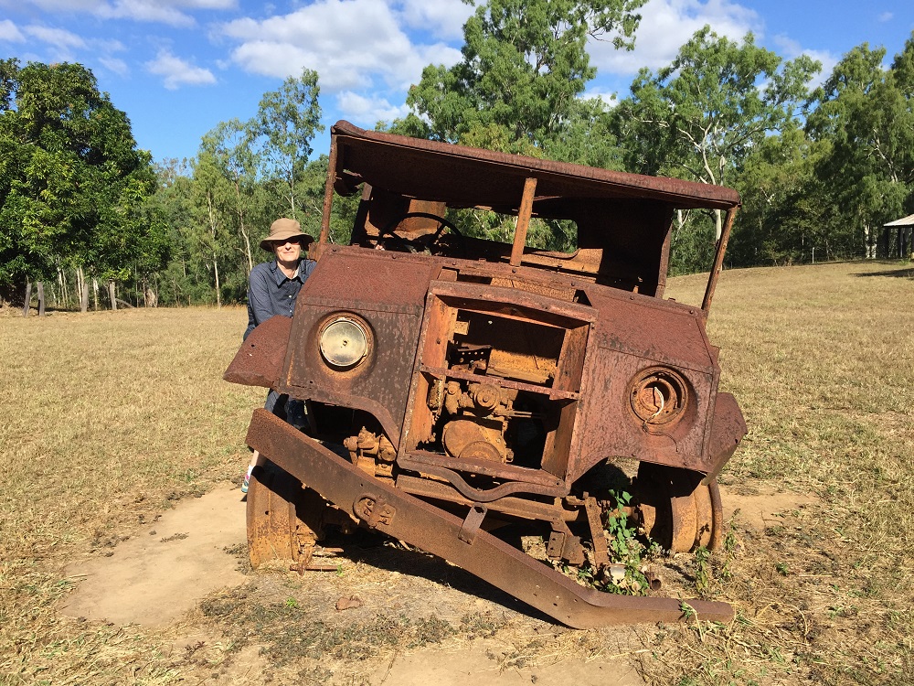
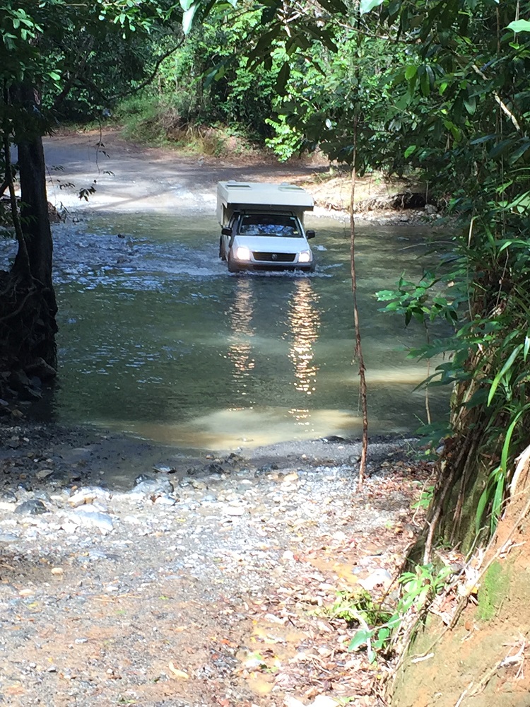
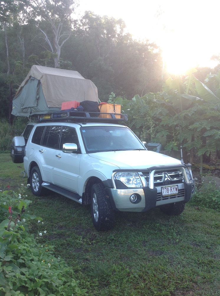
Ric and Gill were a bit worried their vehicle might not make it to the Cape and back. They may have had a point! At Old Laura Homestead.
For more photos from our adventure today CLICK HERE.