29th June, 2015
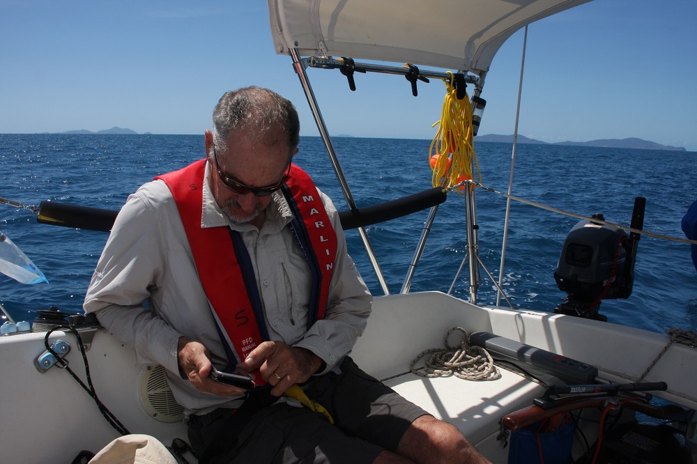
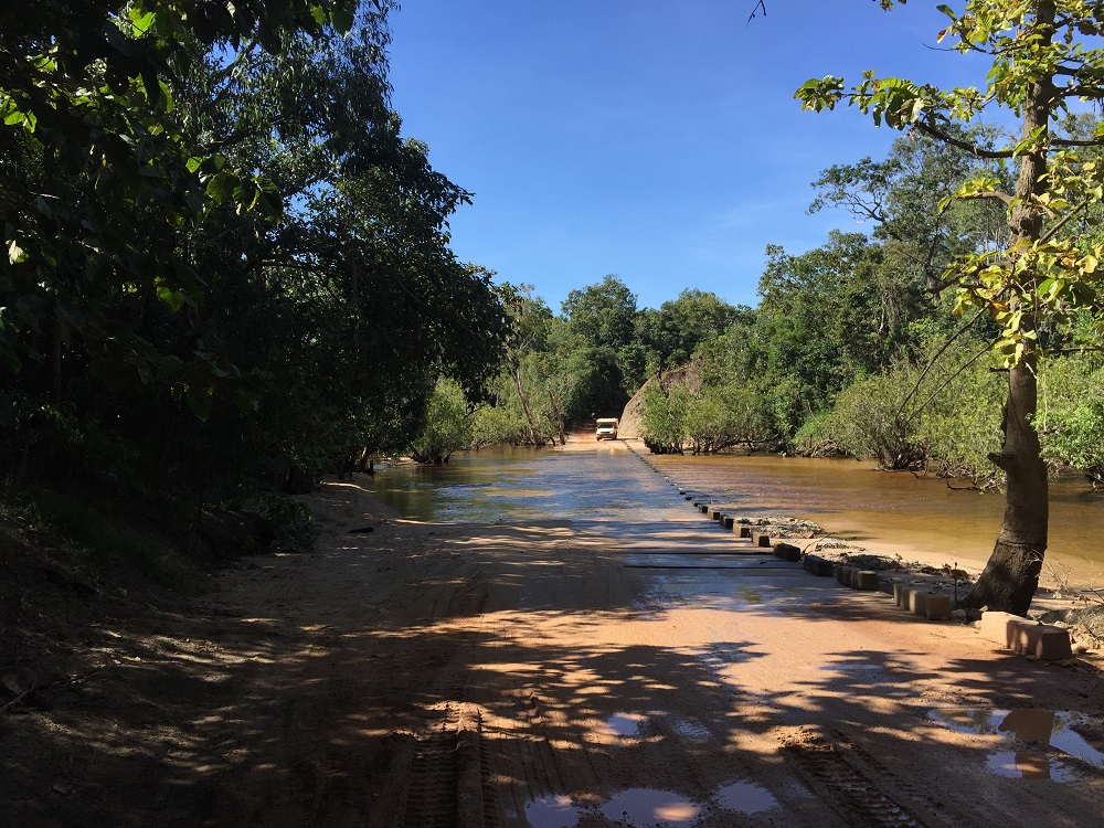
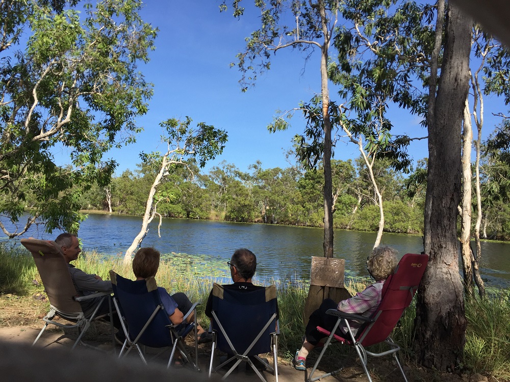
Despite being camped by the ferry crossing we let the cue go first – less dust if they’ve already gone before we start. Tickets are $99 return – the boys decided it’s the most expensive travel per metre we’ve ever done! The Jardine isn’t a very wide, nor deep river.
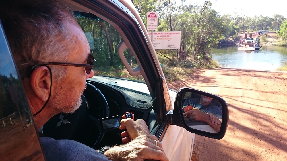
Waiting for the Jardine Ferry.
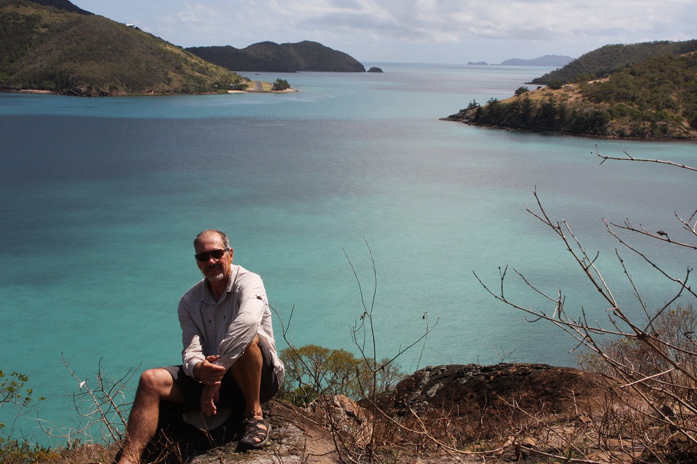
The first beach you come to is Alau Beach beside the little township of Umagico. When we saw the beach we definitely thought it was ‘magico!’. Anyway the big name camping areas for up here are Seisa, Loyalty and Punsand Bay. Gill had already rung Punsand Bay and they were full, so we went to look at Seisa and Loyalty. Both were crowded, sandy unattractive campsites. We were very happy to return to Alau Beach where we camped on grass at the very edge of the beach. Fantastic site.
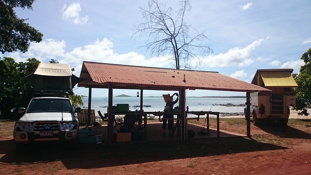
Location, location, location.
To really make this site the best ever though, one of the local cray fisherman came through with crays for sale. They were fantastic. There’s dinner for tonight sorted.
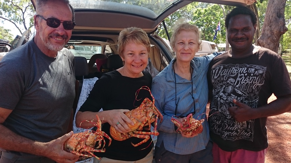
Fresh crays! Are we in heaven?
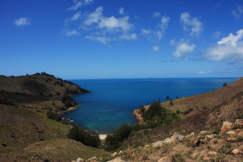
The beach and ocean looked magnificent, and the weather was warm – but not a soul was swimming! Explanation: a crocodile cruises from one end of the beach to the other every afternoon, returning each morning. We saw him several times during our week here, and were never tempted to swim.
30th June, 2015
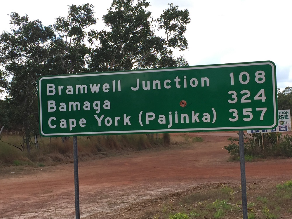
Today we go to the most northerly point of mainland Australia. We all went in Ric and Gill’s vehicle rather than pack up our rooftop tent. On the way we went in to look at Punsand Bay. I think Alau Beach is better – the advantage these and the other campgrounds have is that they’re either near a pub or they have a bar onsite. Punsand Bay has the Corrugation Bar, which we thought we should try out. We had lunch here too. Pretty good.
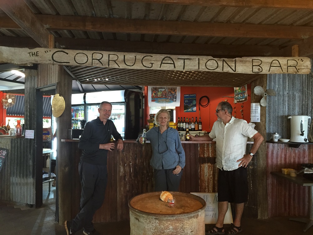
Well-earnt drinks at the Corrugation Bar. Punsand Bay
The road in to Punsand Bay is pretty rough with some quite wide and deep waterholes to cross. It was in one of these that Ric lost his number plate! Another reason to be grateful we didn’t stay here – we’d have to travel that road every time we wanted to go anywhere else.
Next stop was the the tip of Australia. It was low tide, so we were able to walk mostly around the beach from the car park. It’s a fair walk – maybe a kilometer from the carpark and if the tide is in it’s a rough, rocky track up and over the hill and down the steep slope to reach the tip. Nice views though – we came back that way.
Anyway it was very exciting to finally make it to the most northerly part of the Australian mainland. Worth celebrating!
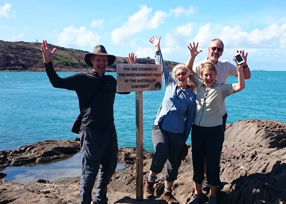
Yay! We made it!!
On the way back we stopped at The Croc Tent, a souvenir shop. Gill was talking to the owner and mentioned the number plate problem and she volunteered to take her children to the crossing in the afternoon and look for it. They found it and a couple of days later a fellow camper just near us was going past so picked it up for them. Nice people in this world.
1st July 2015

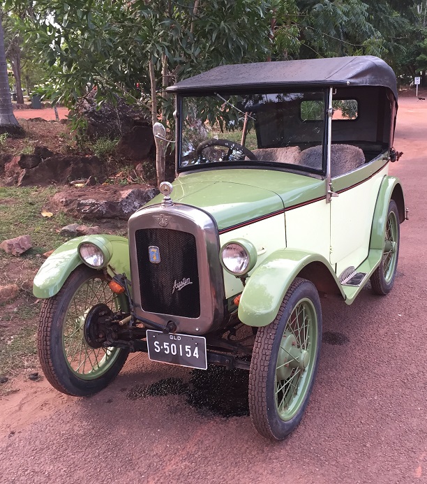
The Baby Austin! Note the oil/fuel leaking underneath it. I think the journey was a bit tougher than the car was prepared for.
Quiet day today. Steve and I went for a walk to Seisa and back, along the beach – took about 2 or 3 hours, quite a good walk. At Seisa we came across the 1927 Austin car that was ‘recreating’ the famous journey of the two New Zealanders who drove a Baby Austin from Cairns to the tip in 1928, floating the car across crocodile-infested rivers on a raft. This trip though had it a little easier with roads, bridges and pretty good water crossings.
2nd July 2015
Today we go to Thursday Island. The ferry left about 8.30am, arriving on TI just over an hour later. TI is a small island, only 4 sq km, however it is the administrative centre for all the Torres Strait Islands. We’d booked a tour on a small tour bus. First stop was at the cray fishing shed where a boat was recently in. An old dinghy is towed behind the main boat – this dinghy is submerged and the crays held in it while at sea. The crays are sold mostly overseas – the cray fishermen receiving about $75 per cray.
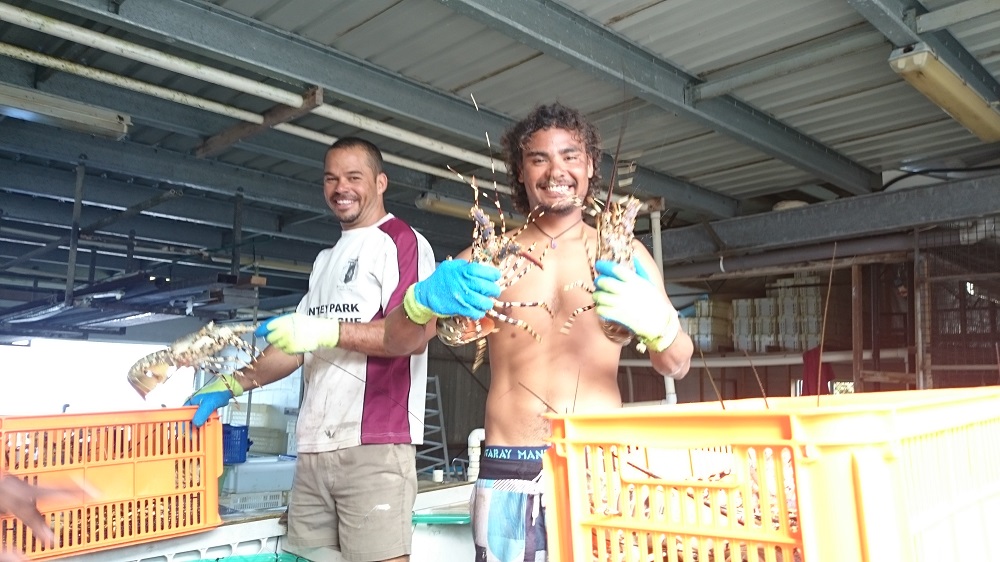
Cray fishermen displaying a couple of their catch. They sure look like they enjoy their job.
In the late 1800’s a fort was built on Green Hill Knob to protect the settlement. It was decommissioned in 1922. Beneath the fort in tunnels is a comprehensive historical display. From the fort the views around the island are magnificent.
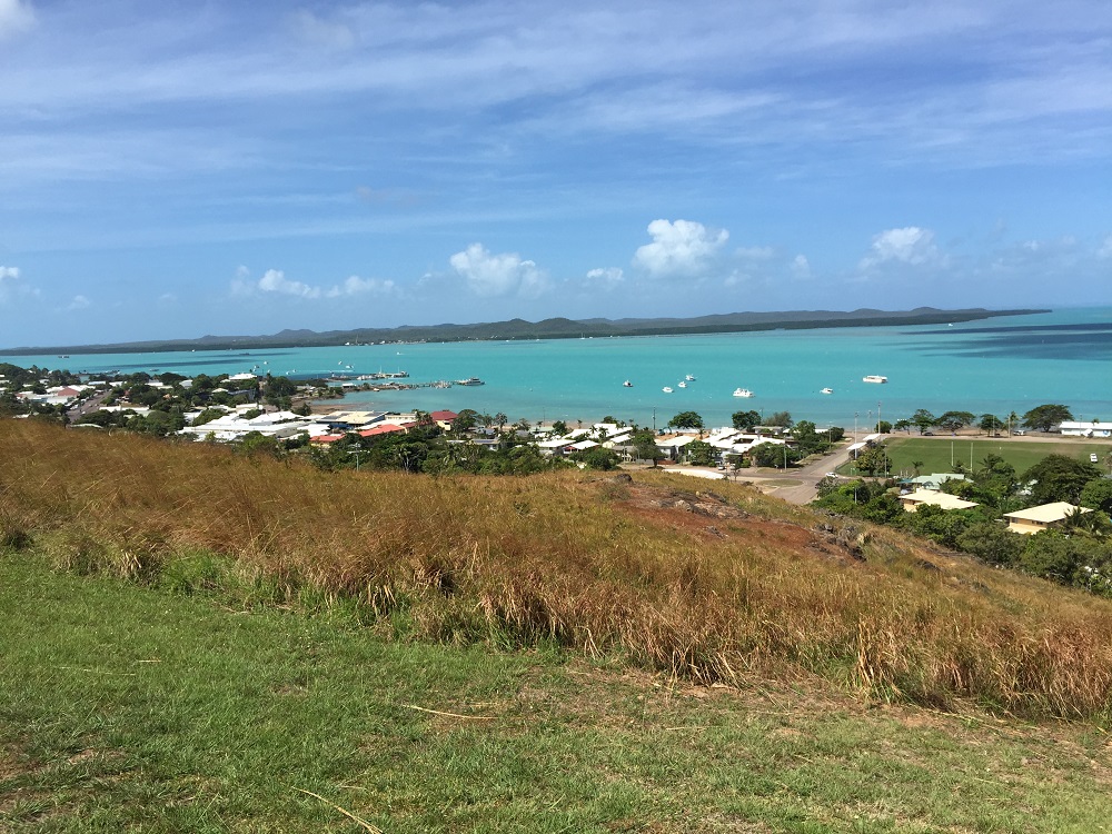
The township on Thursday Island.
The cemetery, which we only drove through, has a lot of very interesting graves – some 700 young Japanese divers among them. The divers were on TI for the pearl shell industry. In shallow water they would free dive, however as these areas became less productive the divers donned the heavy diving helmets with air lines to the surface. Many divers died of the bends.

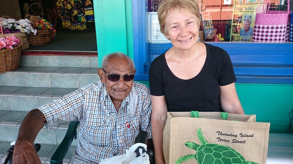
Seaman Dan – a delightful retired diver who was very happy to chat to us.
Sitting outside a store in the township was the famous Seaman Dan. We chatted with him for a while – quite a delightful man. He, and his friend who was a part of the boat crew he used to dive from, talked to us for some time about what it was like diving back then. After one particularly scary dive where he suffered the bends he gave up diving and took up singing. He was awarded 2 Arias for his music.
3rd – 6th July
The rest of our stay at Alau Beach was spent fairly quietly. We spent the last day re-provisioning.
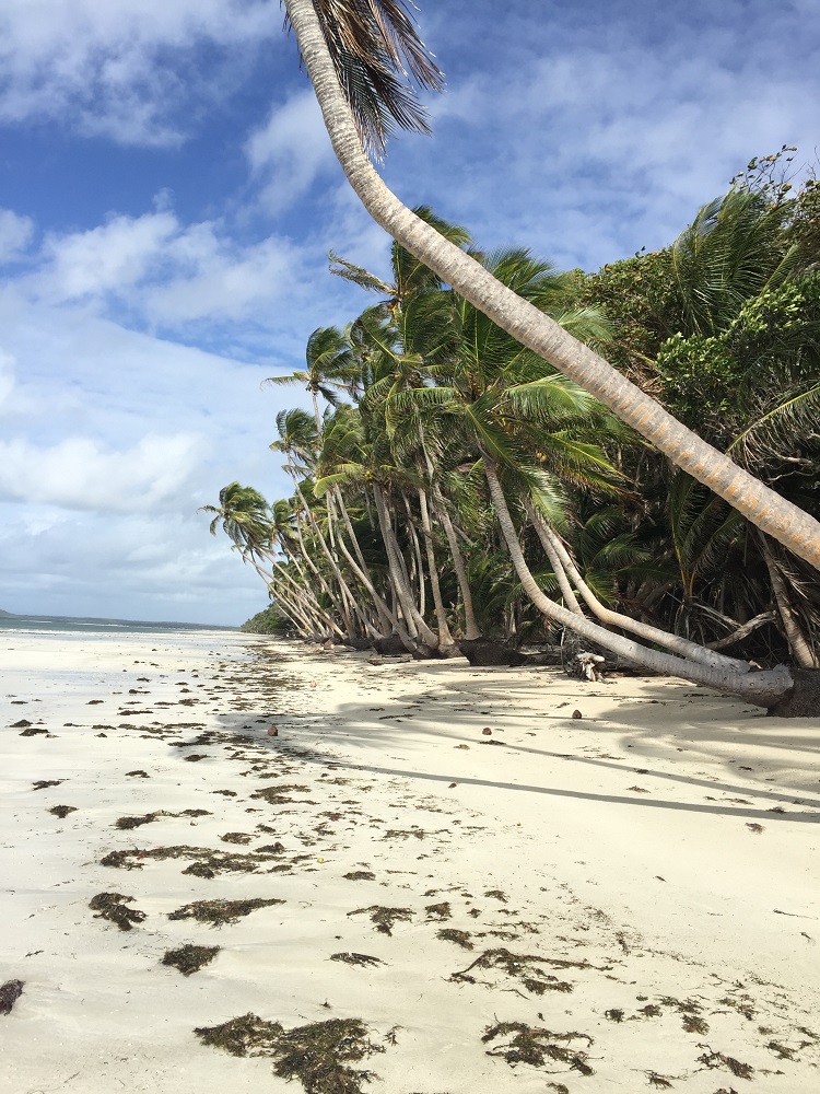
Delightful beach and thoroughly enjoyed our time at the top of Australia.
To see more photos from our week at the top CLICK HERE.