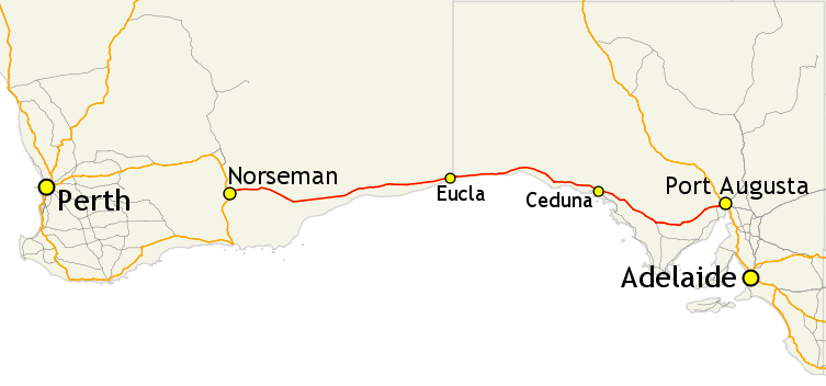
The Eyre Highway stretches 1660km from Norseman to Port Augusta, crossing the Western Australia/South Australia border.
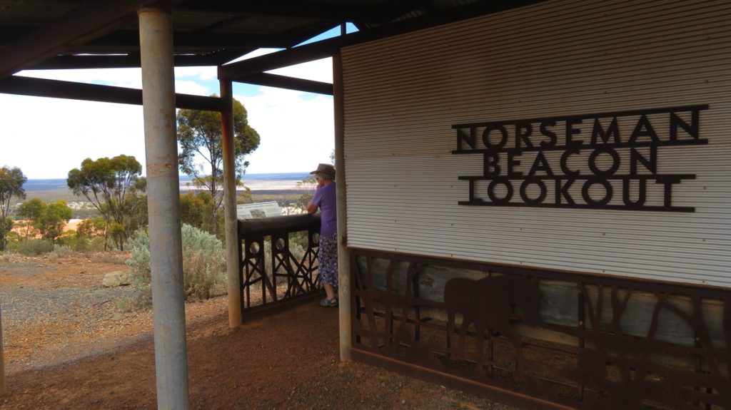
The Lookout
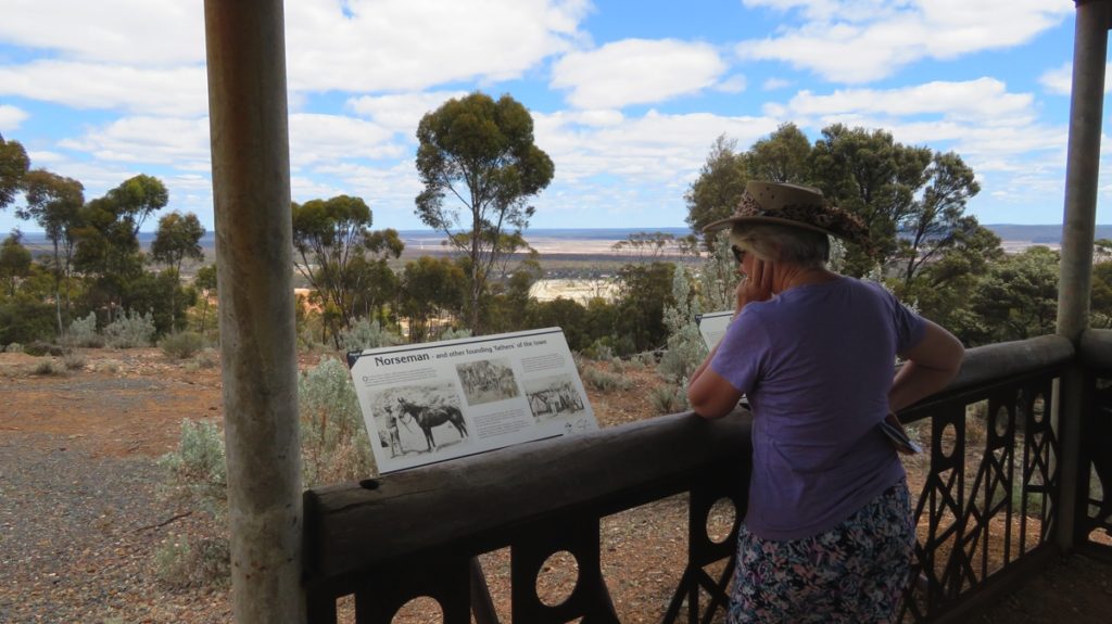
Reading the story of Norseman, with Norseman vaguely identifiable between the trees in the distance in the middle of the photo.
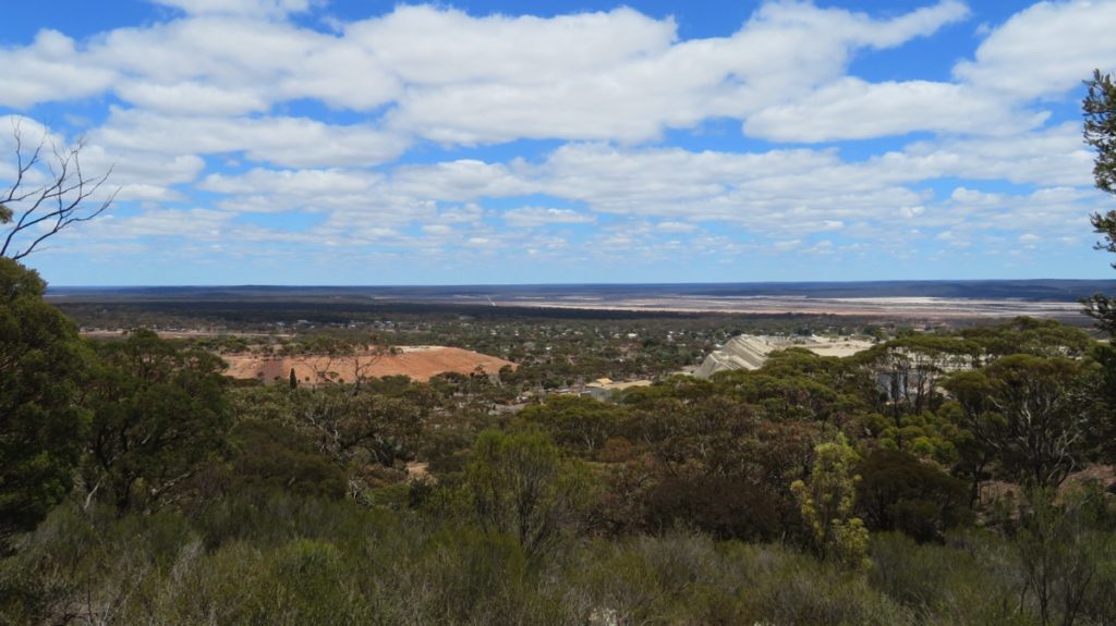
Norseman in the middle of the photo, the mine to the left and the huge quartzite tailings to the right, with the salt lakes fading into the horizon. Taken from the Beacon Lookout.
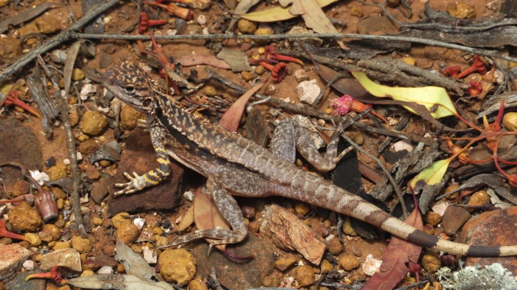
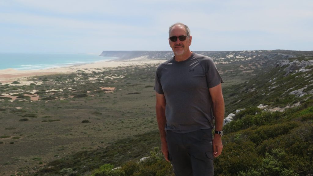
Isn’t he beautiful!
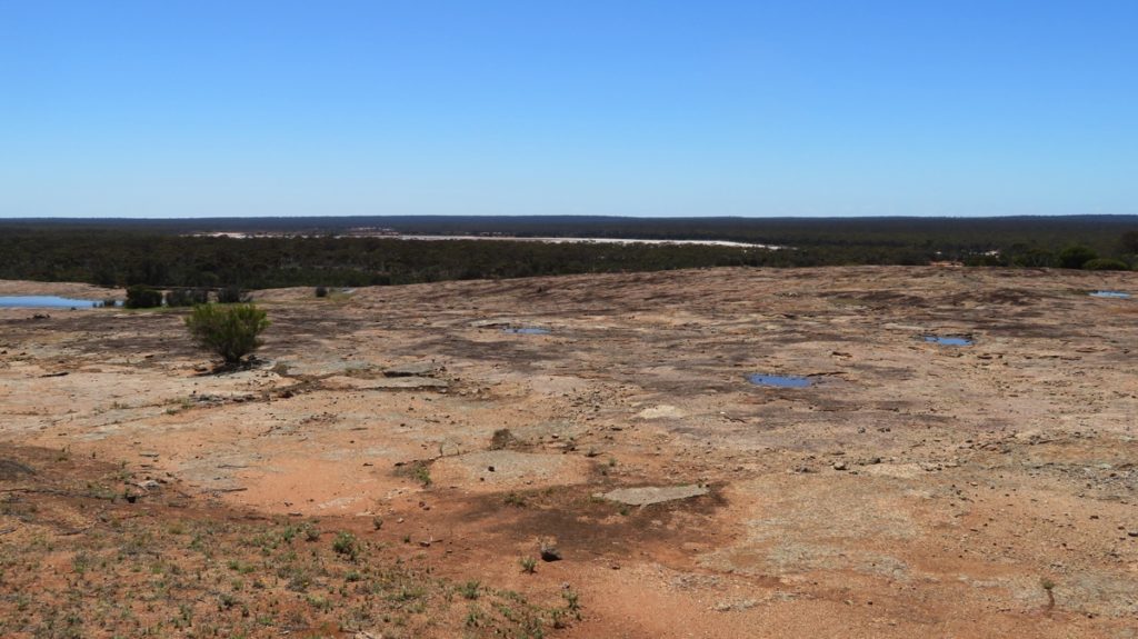
The rock at Newman Rocks, back behind our campsite. It’s rained recently so a few puddles around – note the salt lake in the distance.
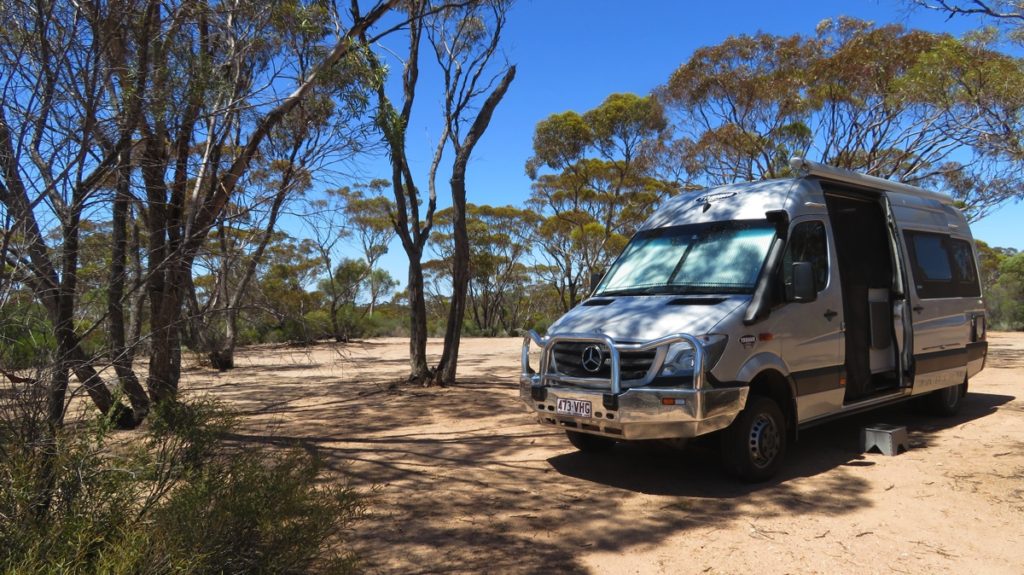
Our very peaceful campsite at Newman Rocks.
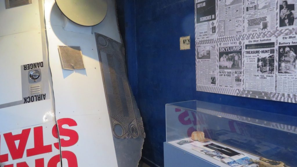
In the museum at Balladonia. Newspaper articles about Skylab, some wreckage and a replica of a piece of Skylab and that landed not far from here.
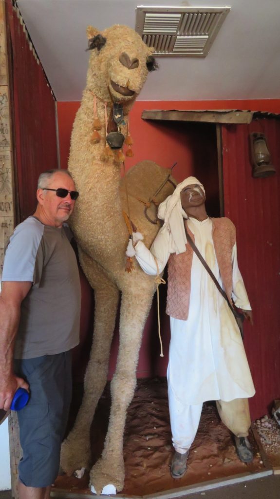
Steve, conversing with one of the Afghan cameleers at Balladonia Museum. I think he’s taken a fancy to that camel!
Beware of wide loads too!
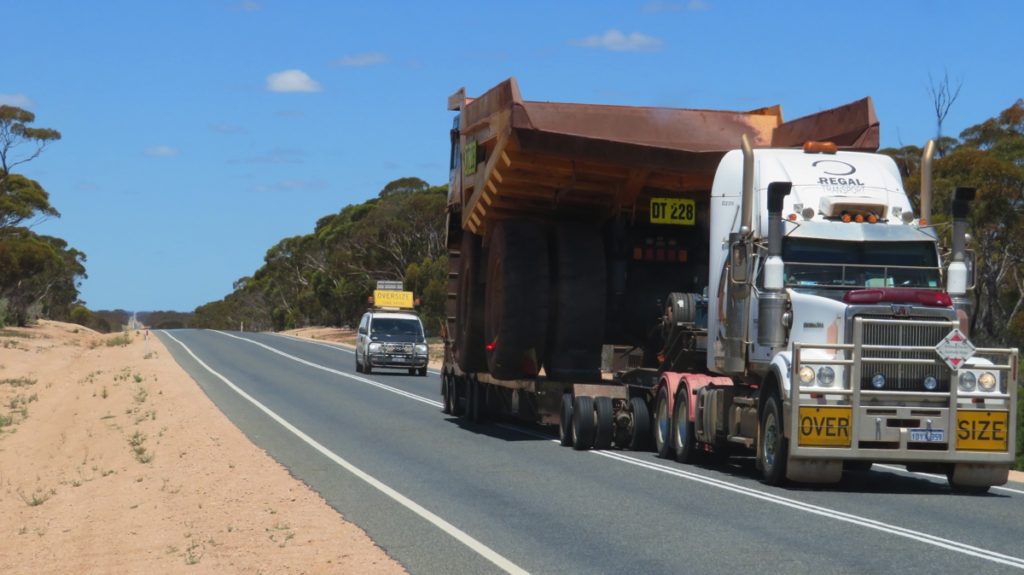
A few of these monsters were crossing the Nullarbor at the same time we were – opposite direction though.
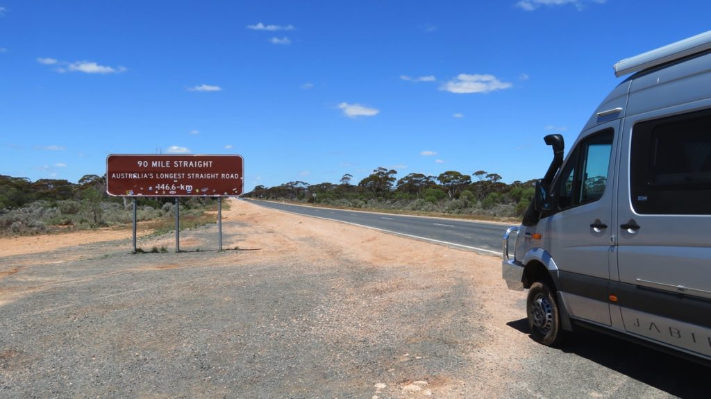
We begin the 90-Mile Straight.
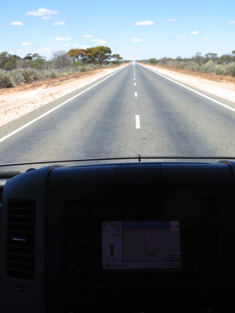
Driving the 90-Mile Straight on the Eyre Highway.
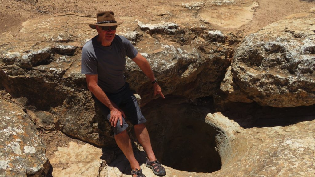
That’s it, down there! The Caiguna Blowhole.
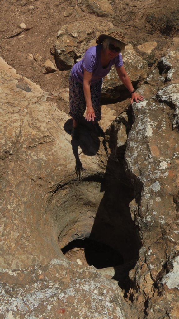
Surprised at the beautiful cool breeze that was flowing out of the Caiguna Blowhole.
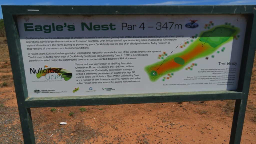
An info board about not only the Par 4 Eagle’s Nest hole, but also Cocklebiddy and its cave systems.
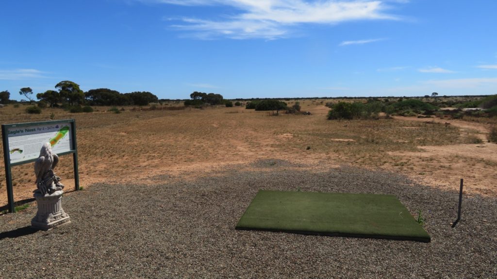
The tee at the Eagles Nest hole.
Overlooking Roe Plain at the Madura Pass.
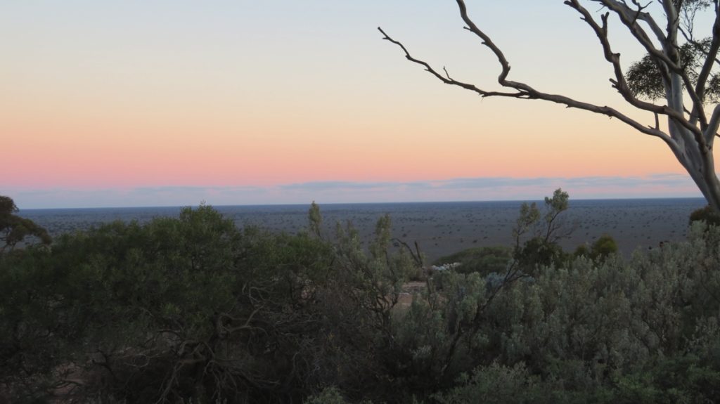
Sunset over Roe Plain from our campsite at Madura pass.
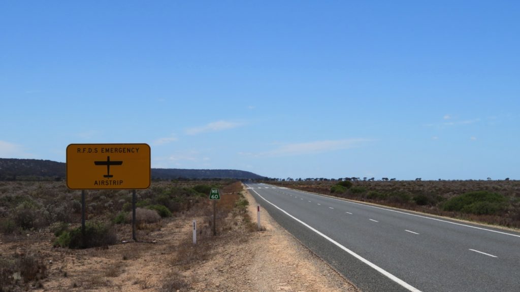
In several places along the Eyre Highway, as in other remote areas we’ve seen, the Royal Flying Doctor Service can use a section of the road as an emergency airstrip.
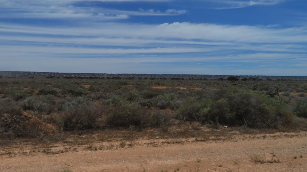
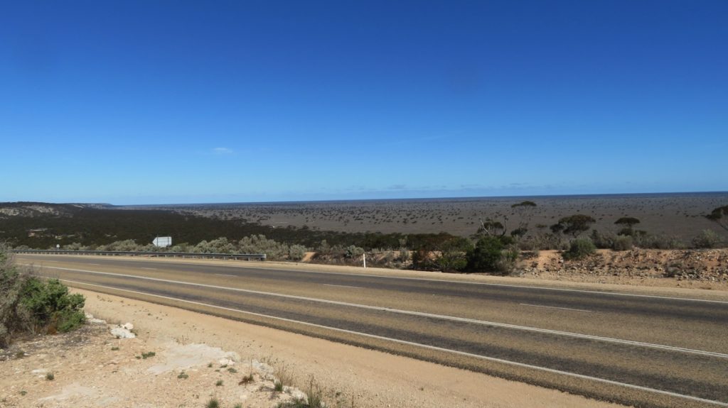
Saltbush and Bluebush as far as the eye can see. On the Roe Plain.
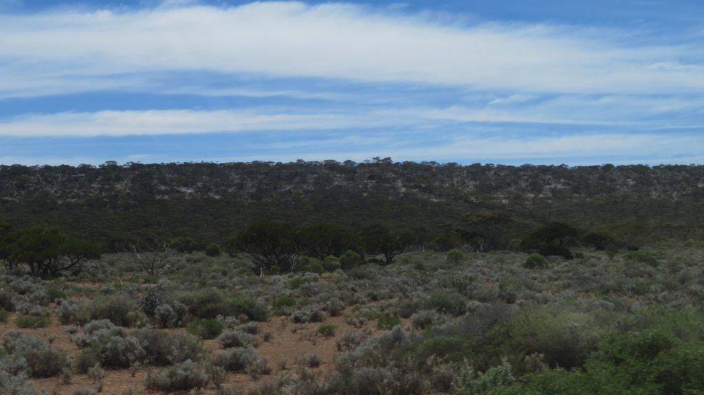
The highway here takes us along the Roe Plain, with the ocean to our right and the escarpment to our left.
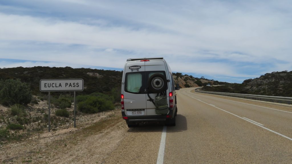
Climbing the escarpment at Eucla Pass.
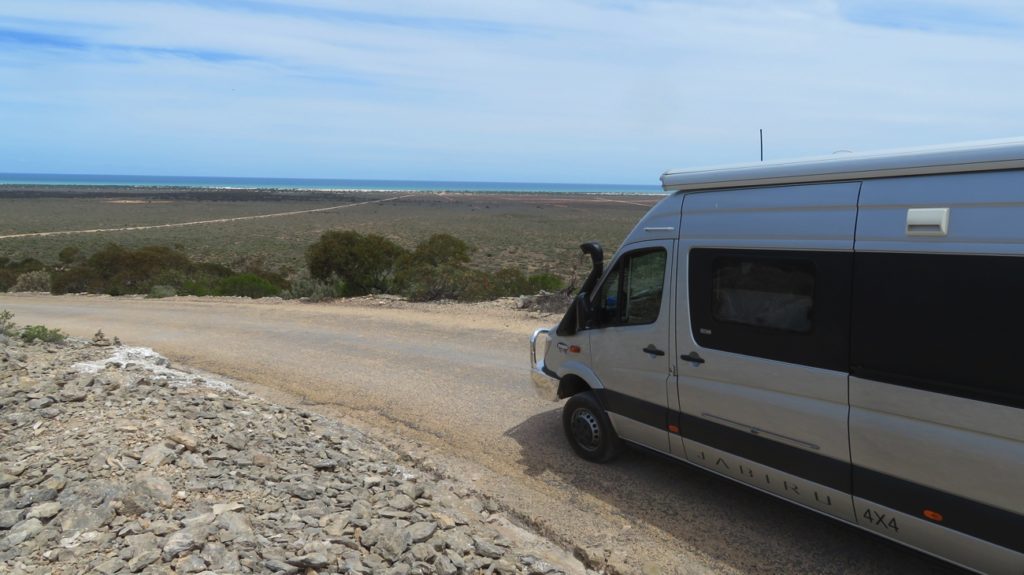
We see the ocean – finally. Near Eucla
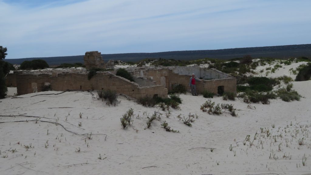
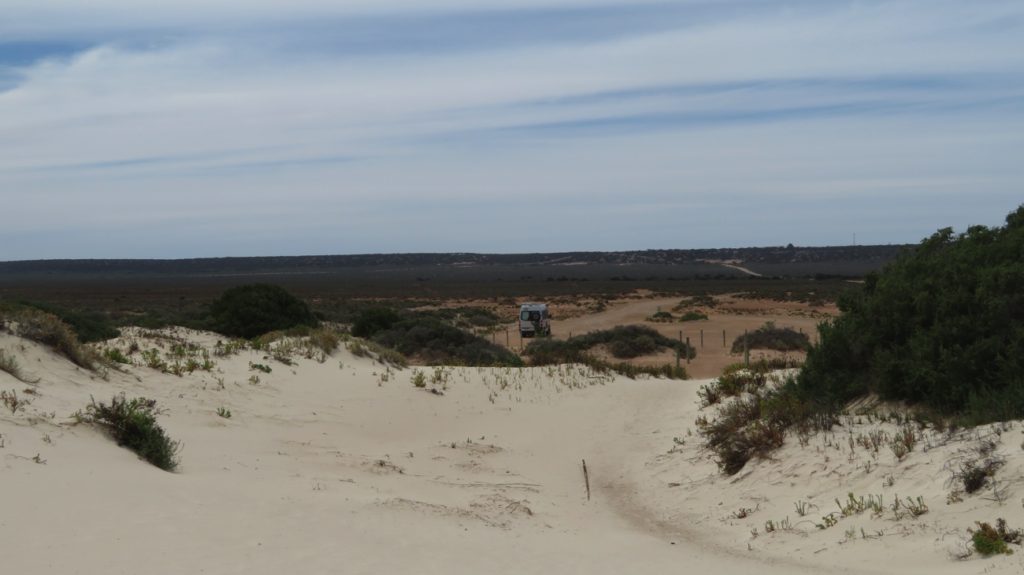
The ruins of the Eucla Telegraph Station. Note how the sand dune is encroaching on it – the doors are a bit low now to walk through.
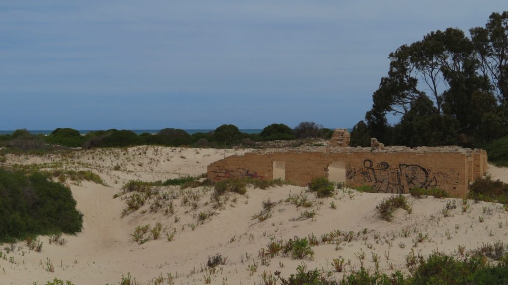
The Telegraph Station ruins at Eucla. Note the ocean in the background.
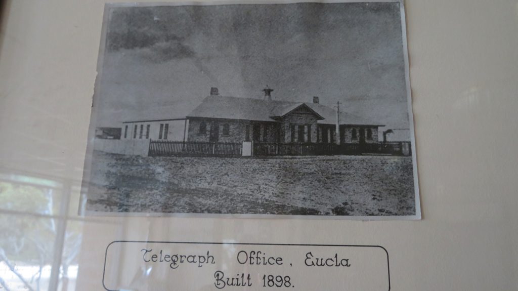
It was a fine looking building back in its heyday.
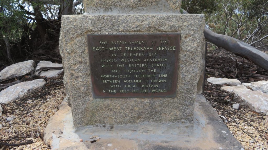
A monument to an important part of our early history. The Eucla Telegraph Station was very significant.
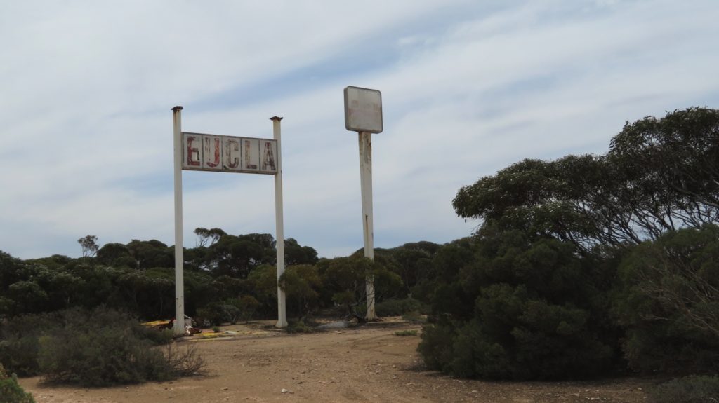
At Eucla.
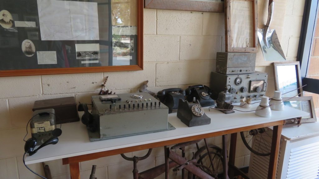
Some of the equipment used at the Telegraph Station. Eucla museum
The Eucla Roadhouse is modern, but here’s some remnants from its past.
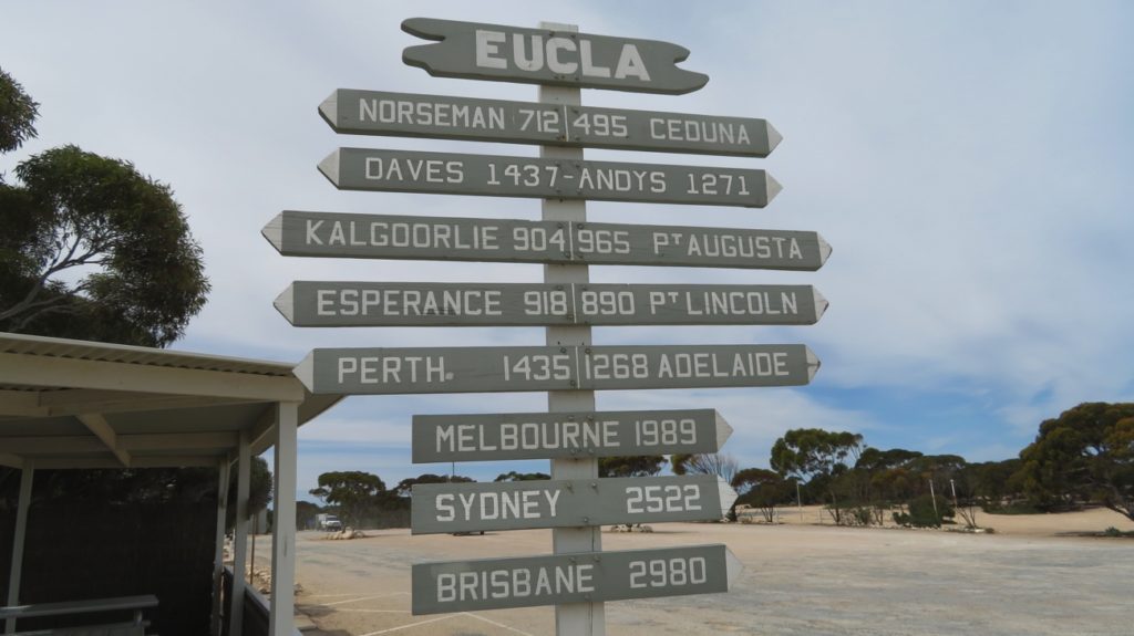
Not quite half way along the Eyre Highway, and a long way from home.
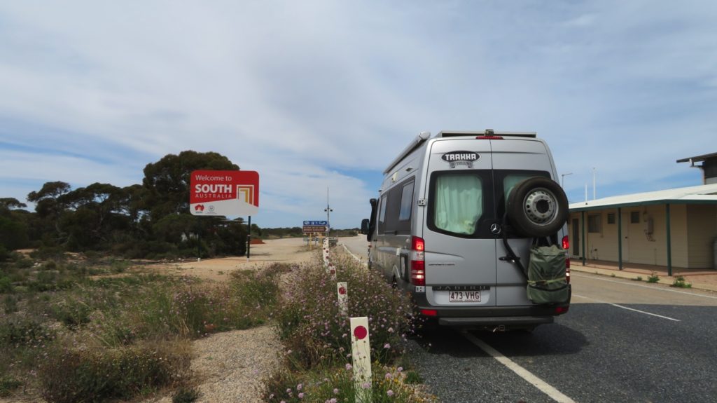
Wow! We’re about to leave Western Australia. Hello South Australia.
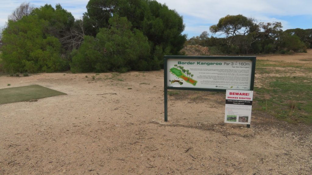
Another of the holes on the Nullarbor Links golf course.
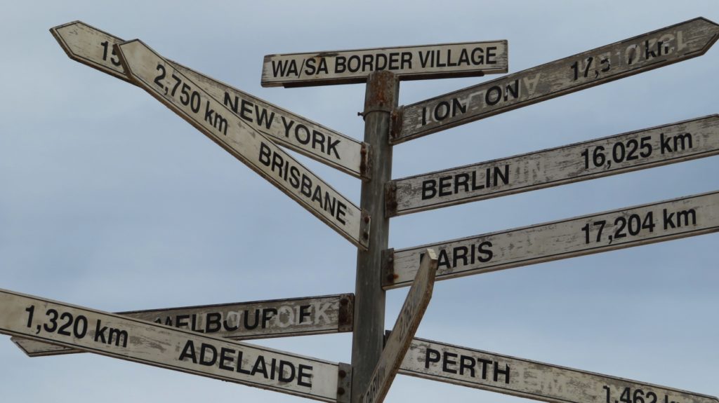
The WA/SA Border is a long way from everywhere.
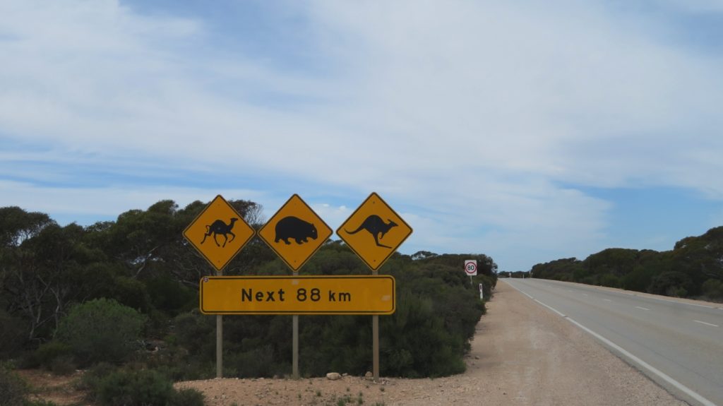
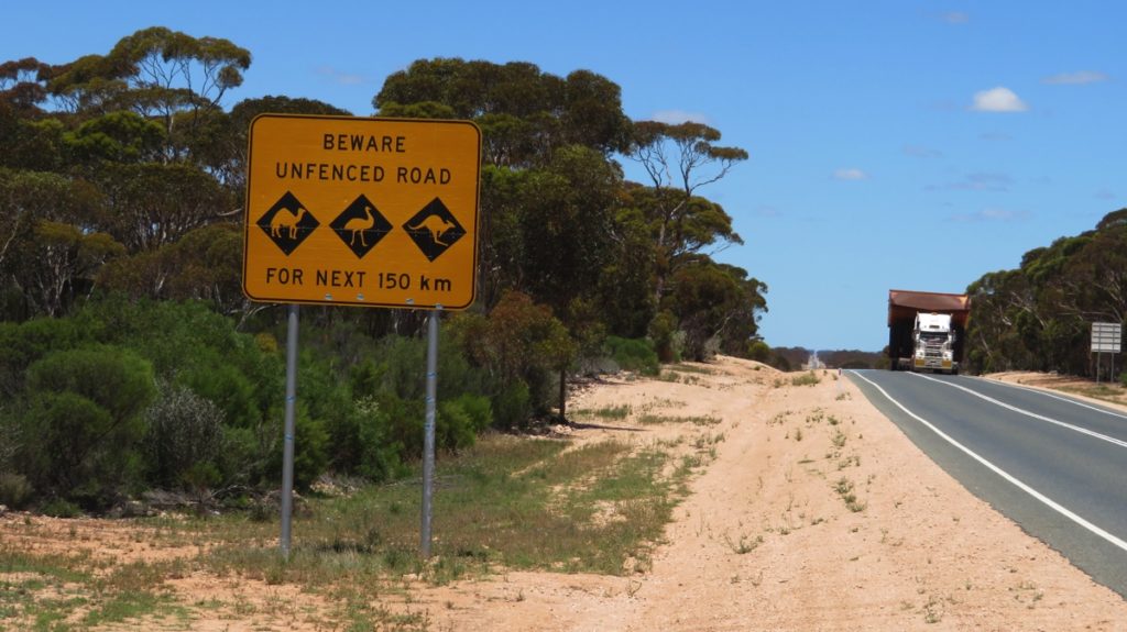
The classic warning sign, famous on this road. Note the wombat on it. The Southern Hairy-nosed Wombat is endangered, so don’t hit any! Kangaroos not so much – we saw many dead kangaroos along the road, sad.
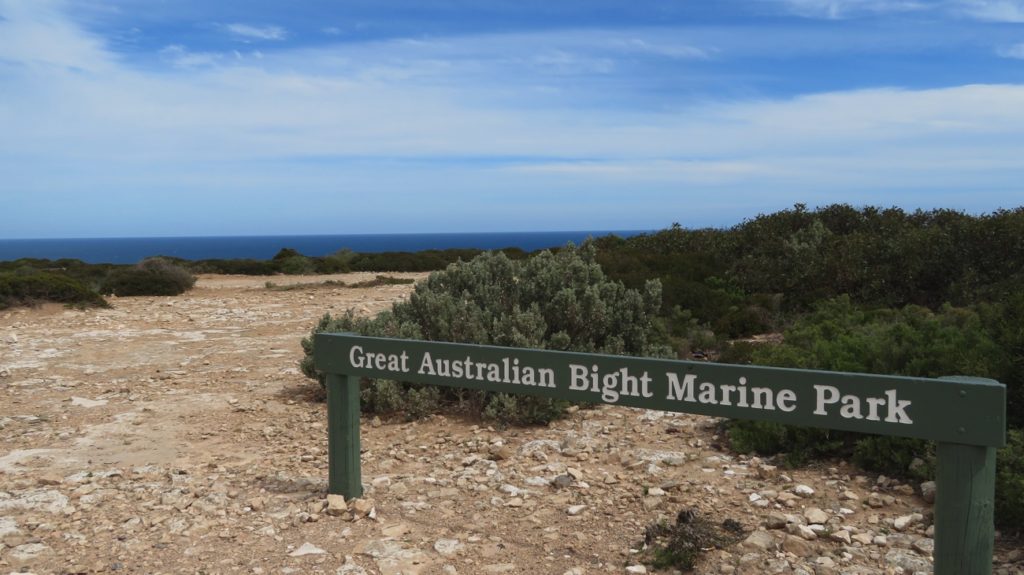
Marine Park
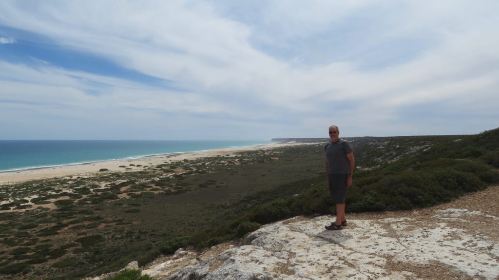
Our campsite at Lookout No 4 is not far behind Steve. Lovely to sleep with the sound of the ocean in the distance.
This is the beginning, or end, of the Bunda Cliffs.
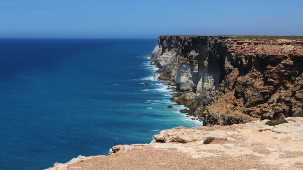
The Bunda Cliffs, looking towards the west.
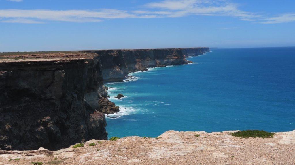
The Bunda Cliffs looking toward the east – they go a long way!
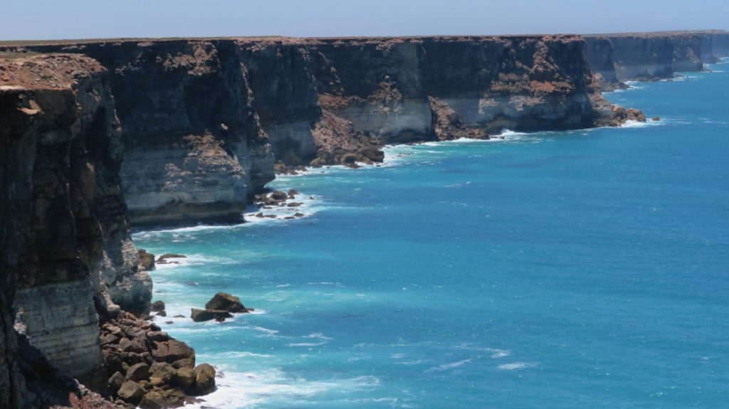
Notice the limestone layer on the Bunda Cliffs.
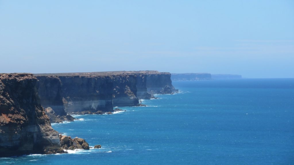
Bunda Cliffs
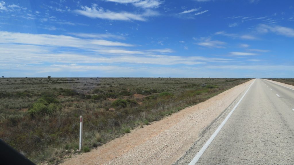
Is that a tree I spy on the Treeless Plain? Poor thing – it’s trying.
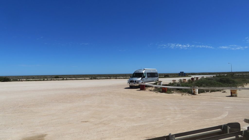
Priscilla, taken from the Nullarbor Roadhouse.
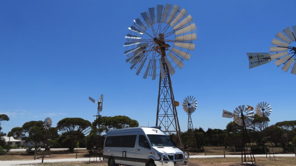
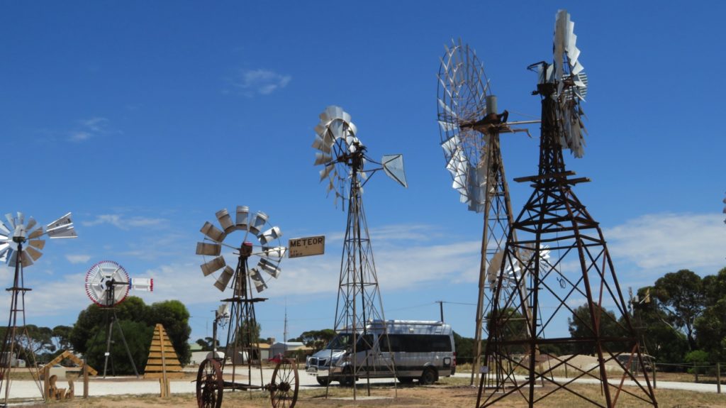
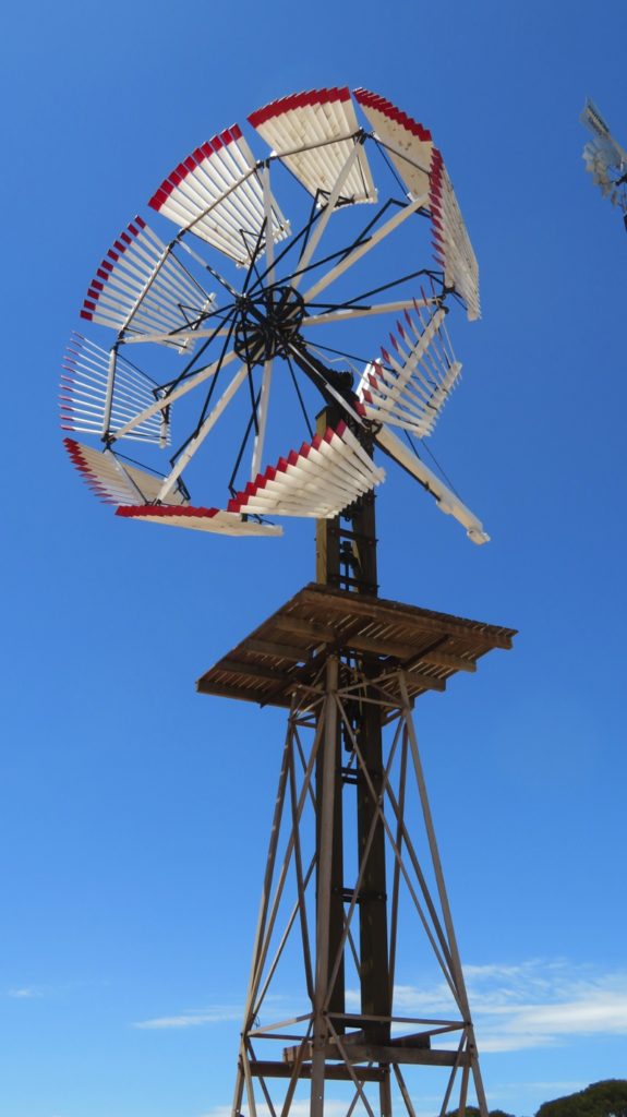
Amongst the windmills at Penong.
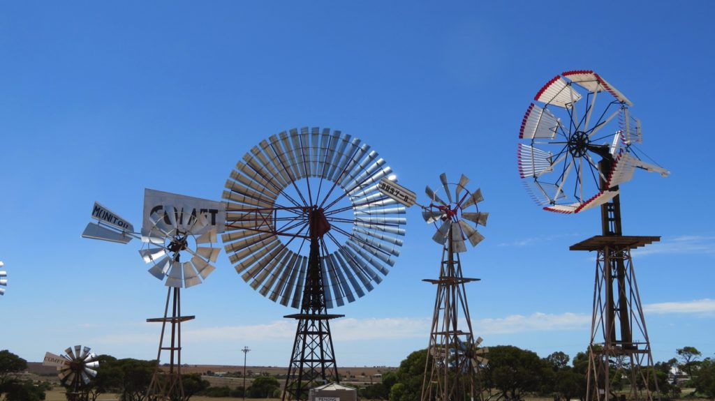
More windmills at Penong, with the Comet, the largest windmill in Australia, in the middle.
Priscilla with the windmills.
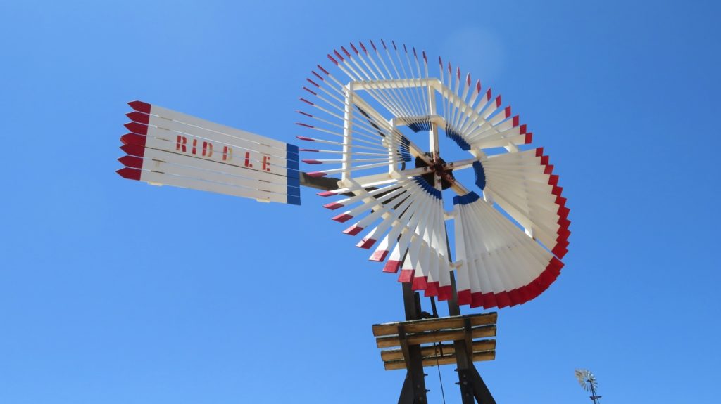
This is the first windmill the museum acquired and restored. It’s a Riddle timber windmill. The stand and blades are all made from wood.
I’d never seen a windmill like this one before. What a beauty!
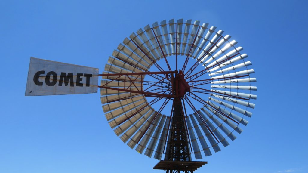
The Comet – the largest windmill in Australia
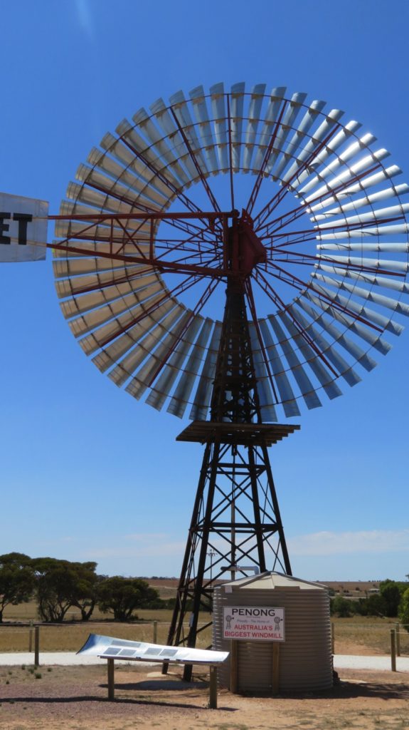
The Comet windmill is functional. It’s attached to a bore and pumps water into the tank.
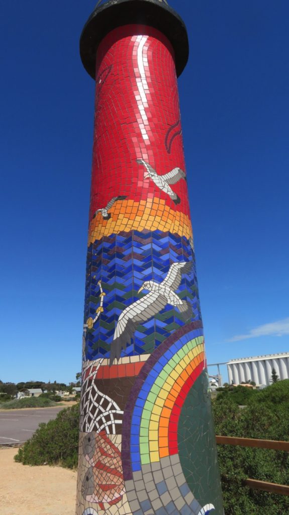
The beautiful mosaic lighthouse at Pinky Point near the port at Ceduna.
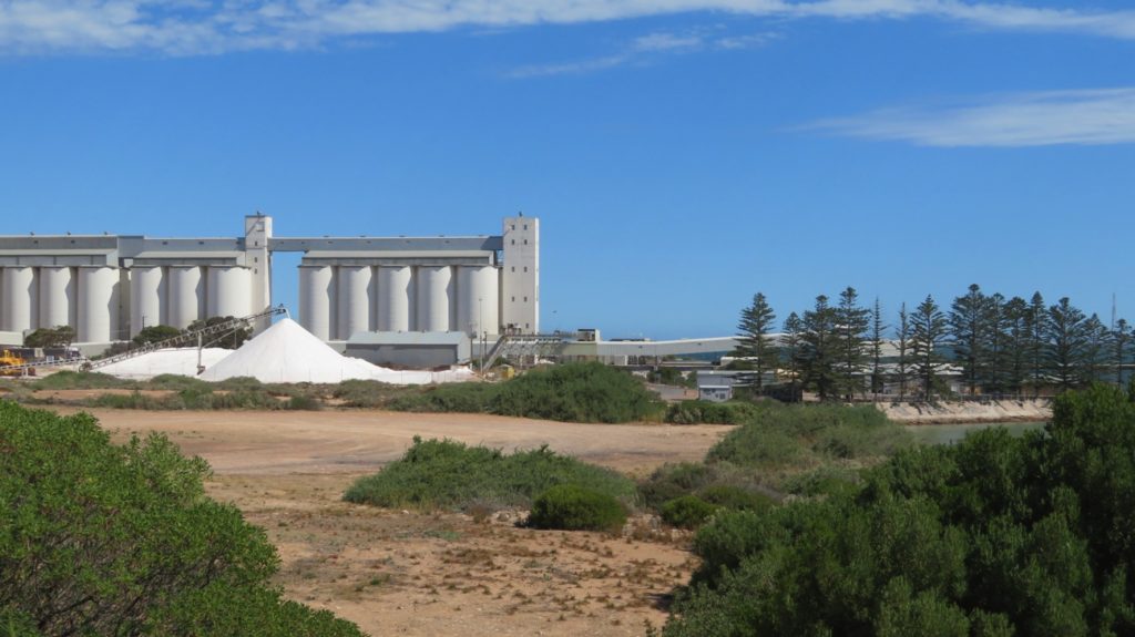
Gypsum pouring into a pile at the port at Ceduna, with the wheat silos in the background.
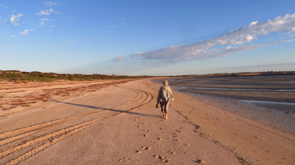
Walking along Shelley Beach at low tide. Ceduna
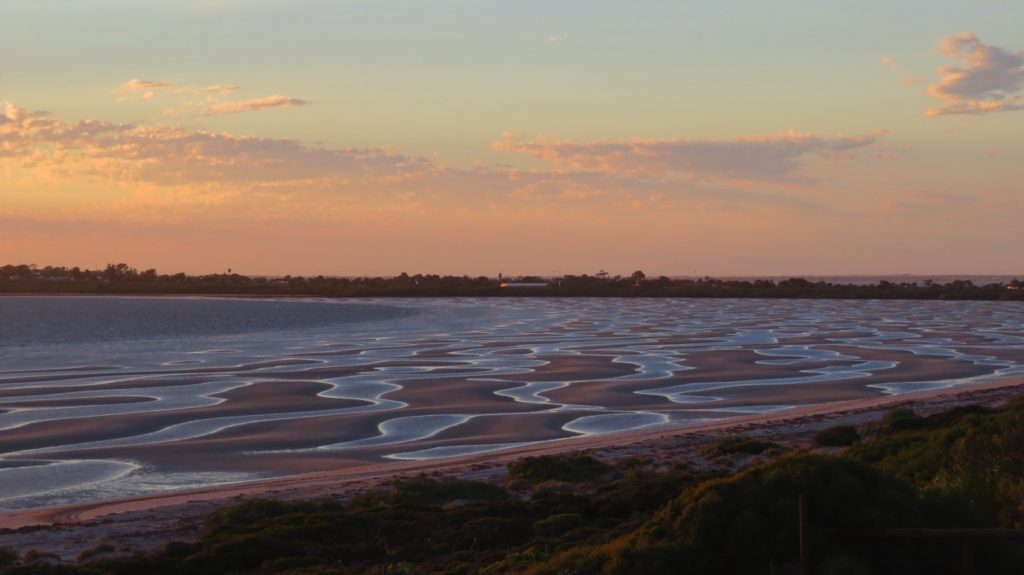
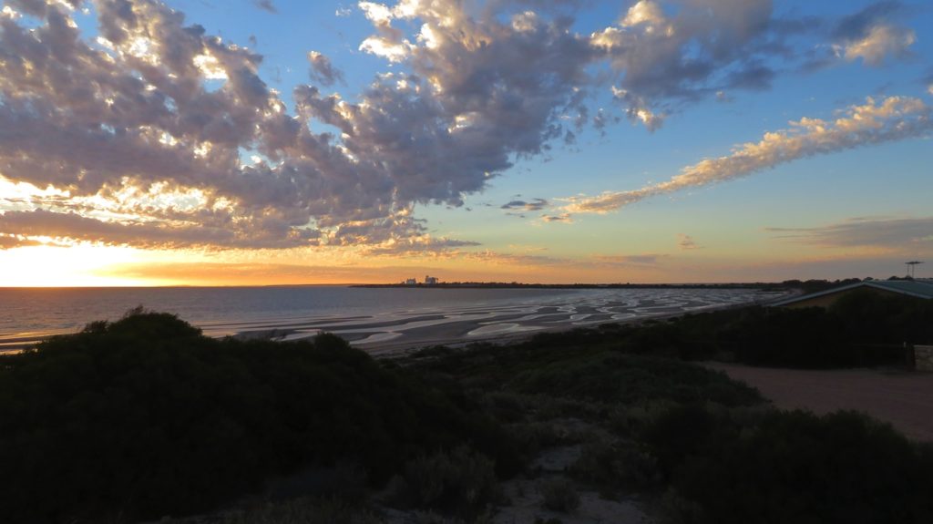
Low tide at sunset on Shelley Beach, Ceduna
From the dunes behind Shelley Beach, across the bay to Pinky Point – Port of Ceduna
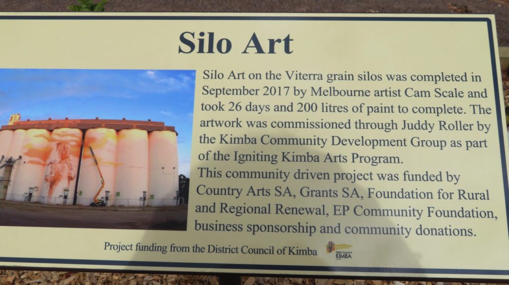
Details of the Silo Art at Kimba
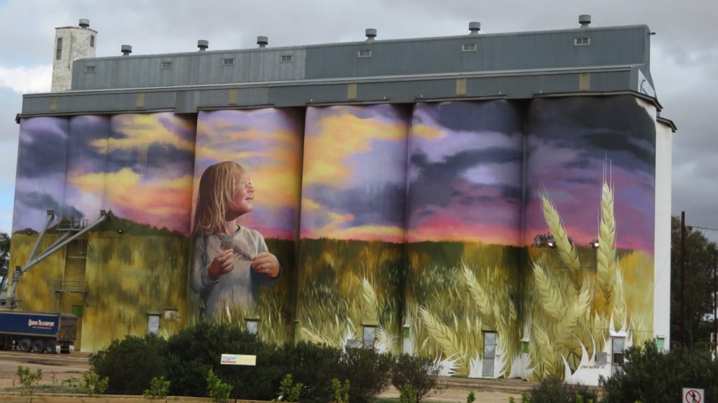
Very impressed with the silo art at Kimba. Just to give you perspective – on the left is a semi-trailer being filled with grain from the long pipes you see coming out of the silo.
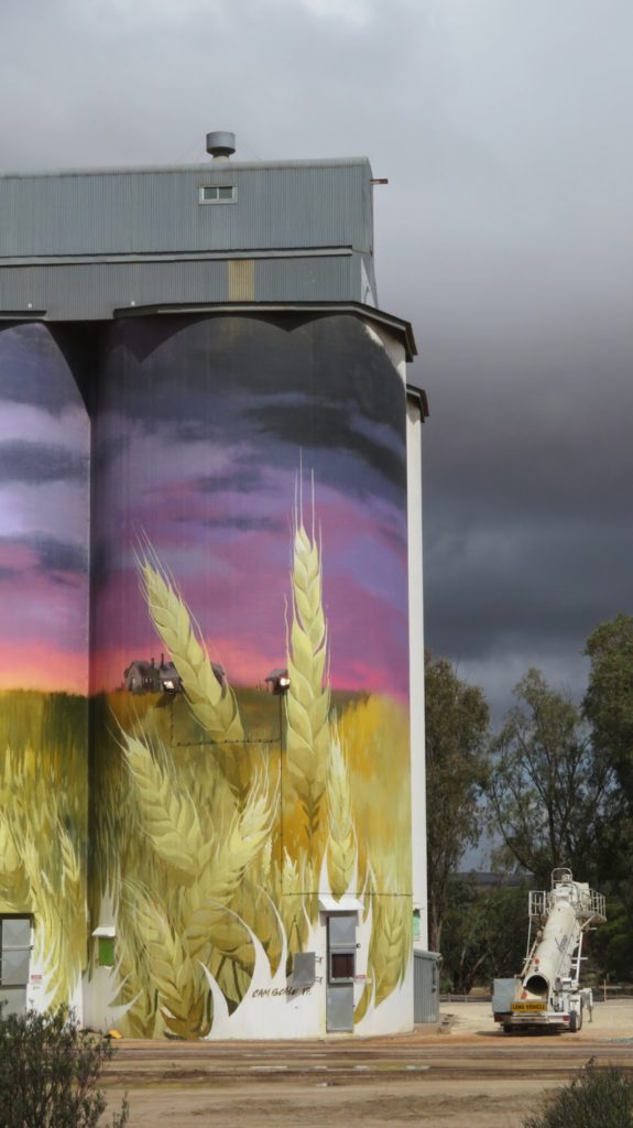
I focussed on just the end silo as I loved the way the sky matched the sky of the silo, and the way the artist used the silo lights as lights in the windows of the two houses he painted.
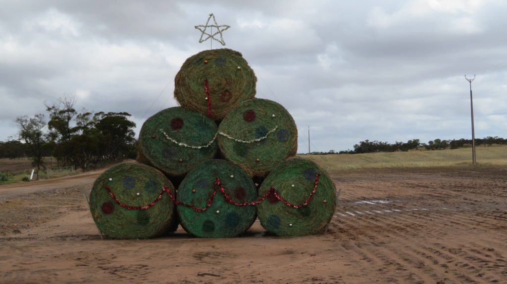
Christmas decorations in the bush – well, maybe in the wheat fields. West of Kimba
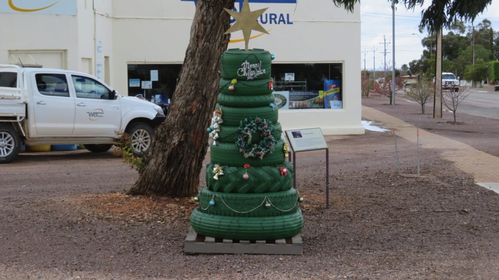
Christmas tree in a country town – Kimba.
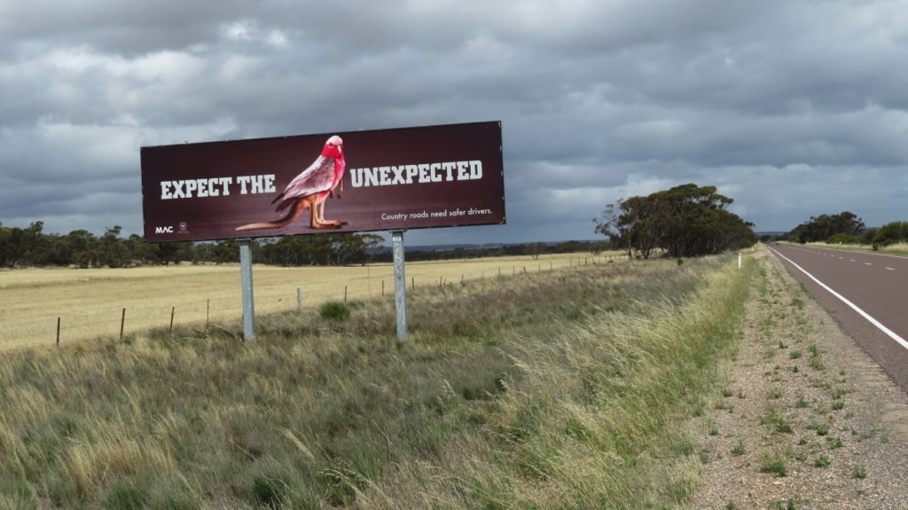
Yep, that was definitely unexpected!