5th – 16th February, 2017
Sunday 5th
And so the Kosciuszko part of our trip begins. We’re doing the northern section first, entering the park via Tumut. Our first stop was the thermal pools and caves at Yarrangobilly. Access to this area is on a steep unsealed road unsuitable for caravans. We didn’t tour the caves, but even just the entrance was spectacular; the drop in temperature from a warm 32-ish to low 20s within about 3 steps was worth it.
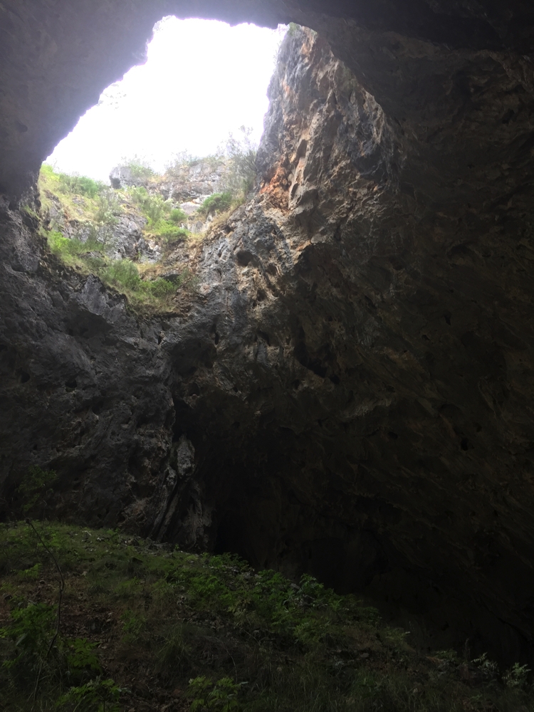
Looking back out through the cave entrance.
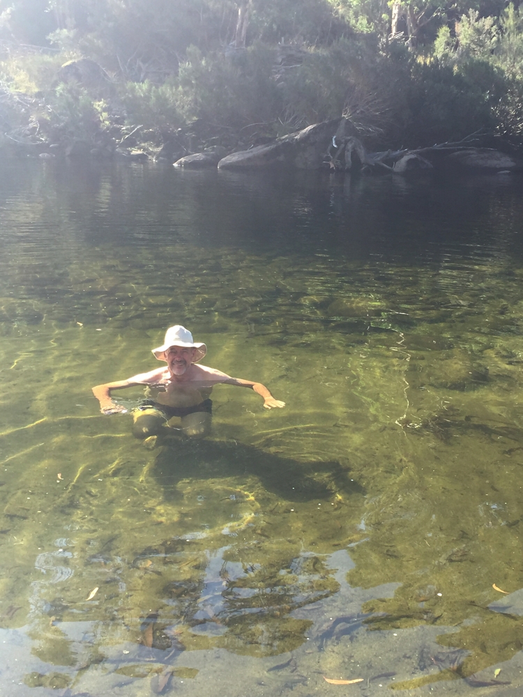
We continued walking along the Yarrangobilly River to the thermal pool. It’s a 20 metre pool constructed over fissures in the rocks from which the water is forced from a depth of 760m and is a constant 27C. Apparently the Eastern Banjo Frog breeds in the pool, a sign of the health of the pool, but happily not encountered during our swim. Surely this is the most perfect swimming pool in the world, in a narrow river valley surrounded by gums, birds and a family of kangaroos.
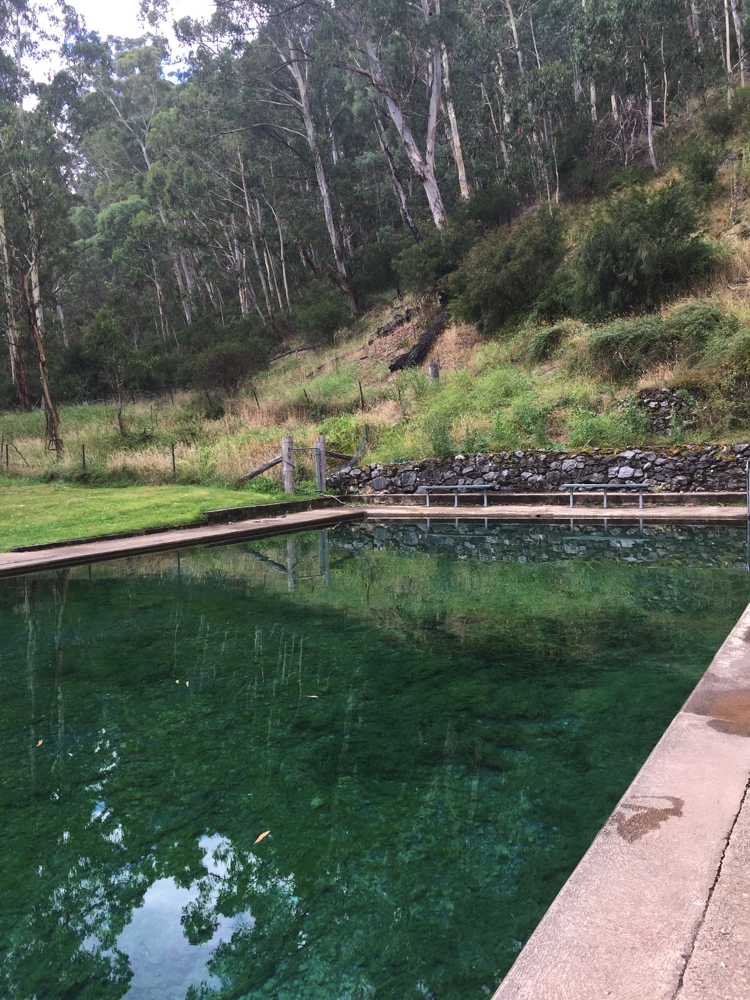
How’s this for a tranquil pool setting! Yarrangobilly
Tonight we camp at Ghost Gully campsite, a large flat site used by horse -trekkers. A pile of timber beside a fireplace couldn’t be resisted.
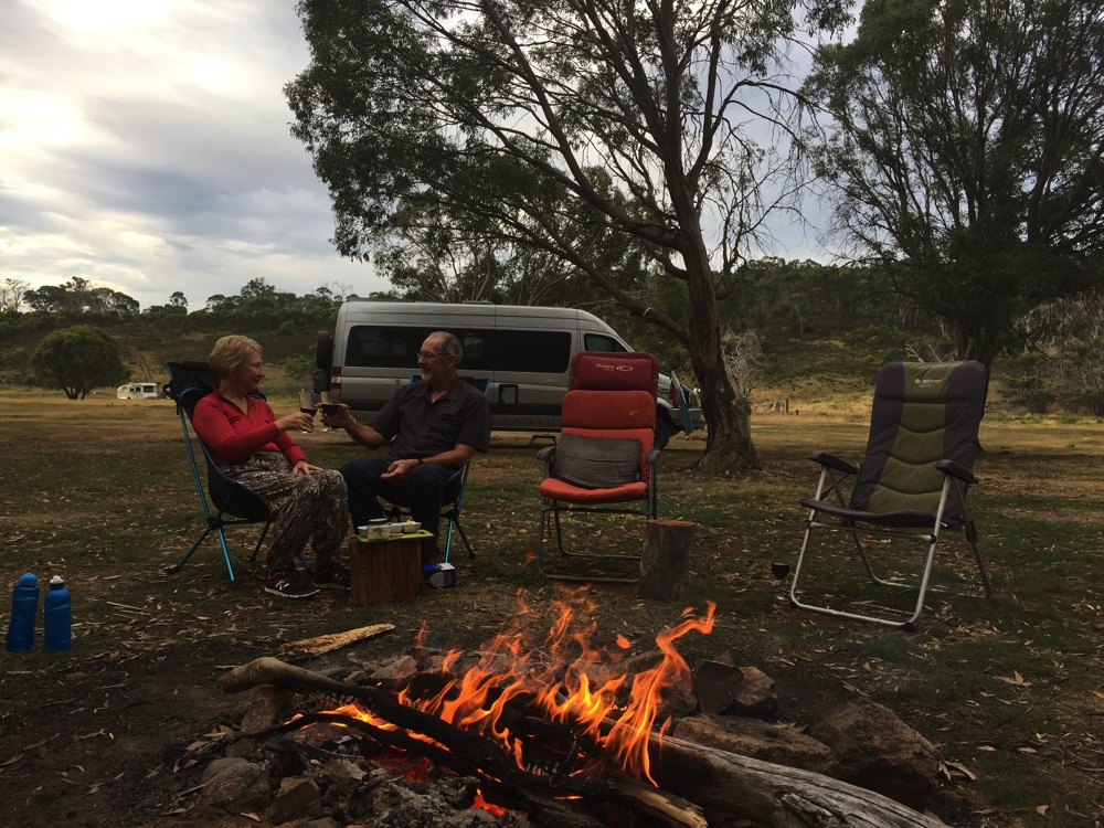
Ghost Gully campsite.
Monday, Tuesday 6th, 7th
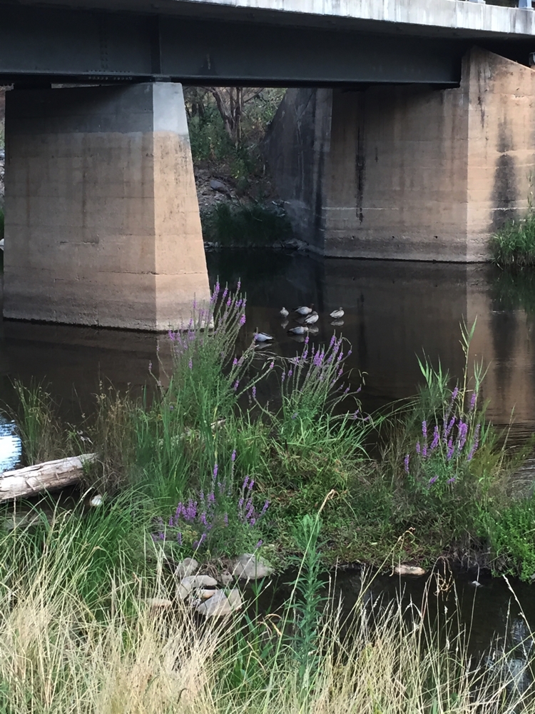
Our planned camp at Blue Waterholes was ruled out after it rained overnight making the road ‘difficult’. Instead we camped for two nights at Three Mile Dam. The early gold prospectors created a dam from the Eucumbene River for year round water and to use it to blast the rock and soil to find gold. We walked the Goldseekers Track loop walk both days, about 6km.
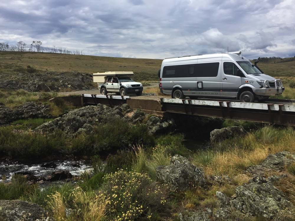
Crossing the mighty Murrumbidgee R – in its early days.
The weather is getting colder and it’s rained a few times, and no firewood here, sadly.
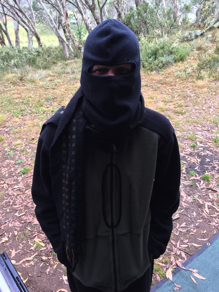
Yep it did get a bit chilly, not that Ric was cold.
Wednesday 8th
Big day today. We’re heading for the southern walks via Jindabyne. At Jindabyne we reprovisioned our food, water and fuel as well as bought Park Passes at the Information Centre, necessary for entry into this section. We had a yummy lunch at the cafe at the Information Centre. (Water only available at the BP servo, dump point near the tip).
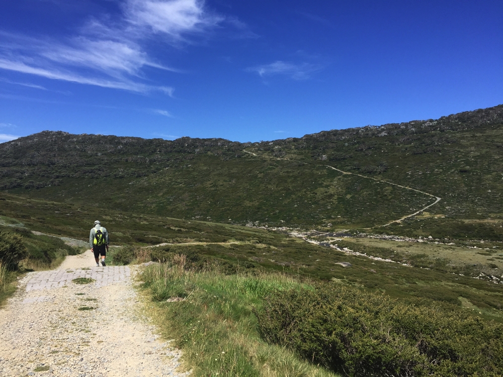
We headed firstly to Perisher where we parked and did the Porcupine Walk, a 6km out-and-back walk to Porcupine Rocks. Wildflowers, button grass plains, snow gums and large granite outcrops characterised the walk, with great views down Thredbo and Perisher Valleys from the top.
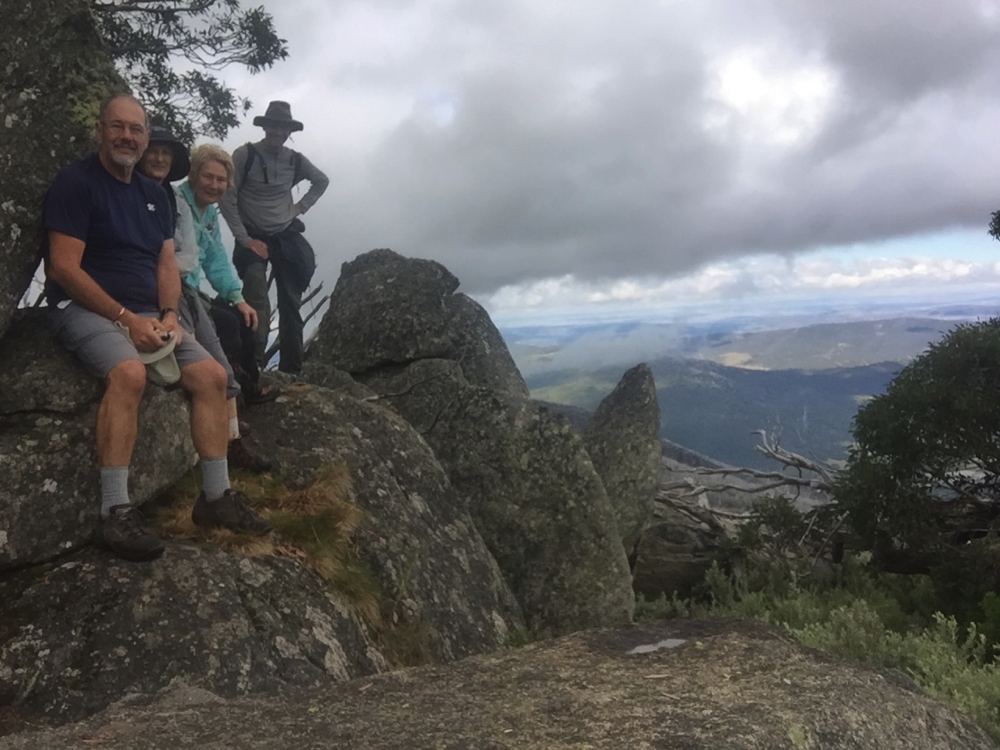
On Porcupine Rocks. Steve, Gill, Denise, Ric.
Camp tonight is at Island Bend campsite, alongside the Snowy River. A fabulous spot.
Thursday 9th
Today we walk to the top of Australia! We left from Charlotte Pass, Ric taking the Main Range loop and Steve, Gill and I walking the more direct Summit Walk, 9km straight up. We brunched on the banks of the Snowy River, paused briefly at the iconic Seamans Hut, did the appropriate thing at the highest toilet block in Australia at Rawsons Pass and lunched beside the cairn marking the highest point on the Australian continent where we had 360 degree views across the roof of Australia. Mt Kosciuszko is 2228 metres and was named by the Polish explorer Count Strzelecki.
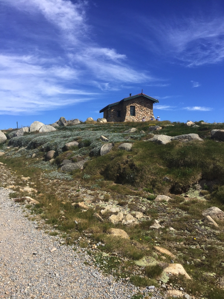
Seamans Hut, on the Kosiuzsko Summit walk.
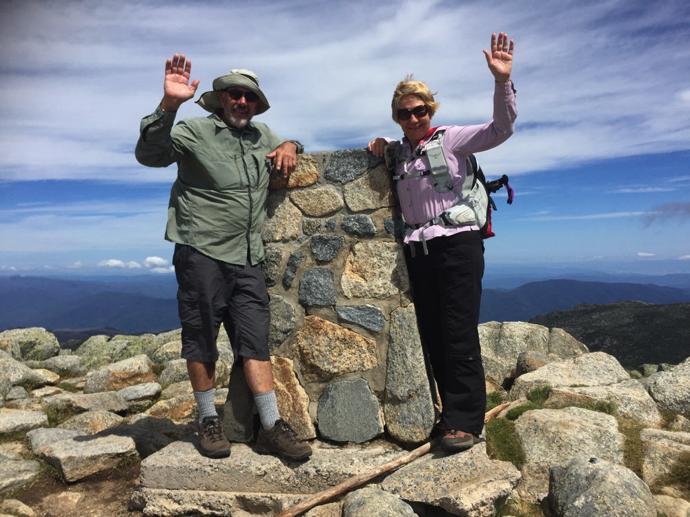
Yay, we made it! We’re at the very highest point on the Australian continent.
When Ric arrived Steve and I decided to walk back via Main Range while Ric and Gill took the Summit Track back down.
After summiting Kosiuszko Steve and I decide to go that way back to Charlotte Pass.
This walk is described as one of the classic walks of NSW and it is certainly that. It’s also described as a hard walk and again I won’t disagree. The track winds up and down around mountains, past residual ice not yet melted and overlooks beautiful lakes, Lake Alpina being one of the most stunning. We sat awhile and absorbed the views and the serenity on the way up to Carruthers Peak, there being very few walkers about. While it was sunny, the wind was pretty ferocious, blowing us sideways in some exposed areas. The clouds were only just above us; it felt like we could reach up and grab them. The snow gums intrigued us with their patterned trunks while the abundance of wild flowers added even more beauty to the walk. We crossed several creeks, the final two on stepping stones over Club Lake Creek and the Snowy River, before commencing the final VERY steep climb up nearly a kilometre to the car park. A tough way to finish a total walk of 23km, 1000 metres of ascent and descent and 8 hours.
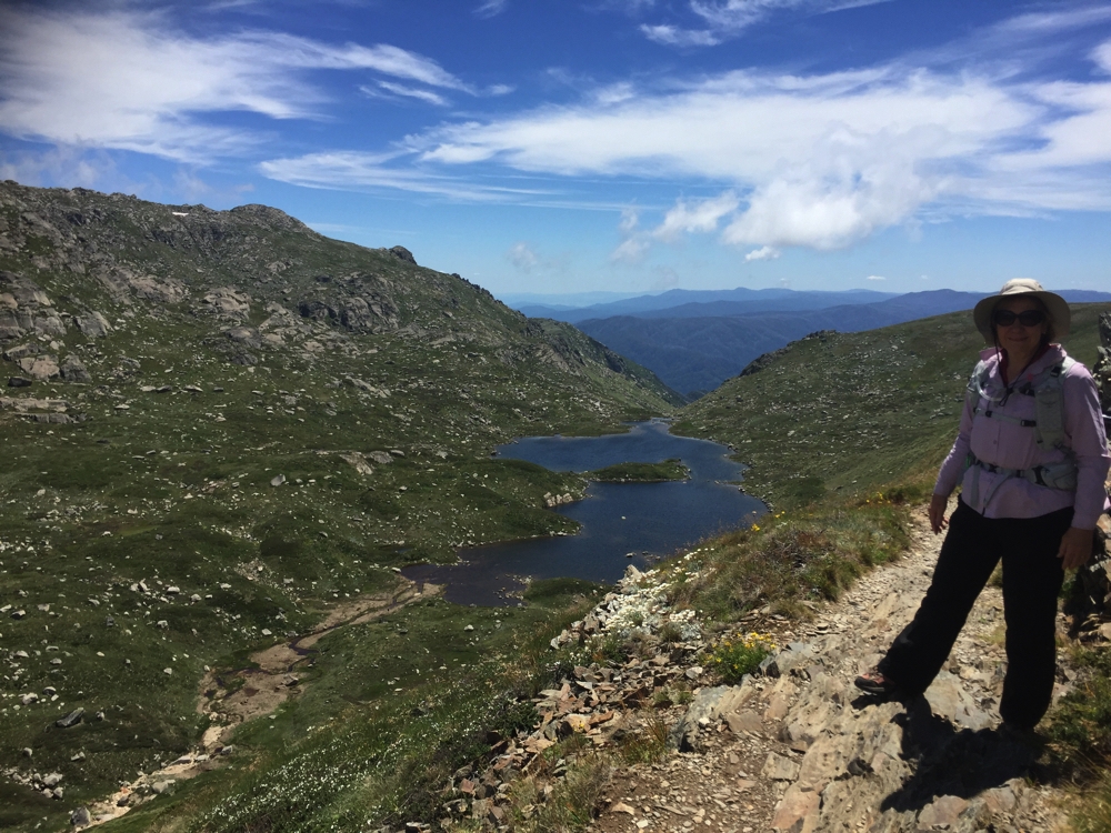
Denise overlooking Lake Alpina.
Down the track, across the Snowy River, then up and up and up that last climb to the carpark. Brutal!
The track condition was quite varied, starting at the Kosciuszko end being well formed and deteriorating as you got further along, some parts on large granite stone paving slabs, other sections narrow path worn by many feet, other sections badly crumbling little paving bricks, some small gravel sections and the worst of all medium sized gravel stones. There was a track maintenance crew working on it, laying more huge granite paving stones.
We arrived back at camp weary but very pleased we’d done the whole circuit, to say nothing about having reached the top of Australia – woo hoo!
Ric cooked a butterflied pork over the fire on the BBQ for dinner – divine.
Friday, Saturday 10th, 11th
The east coast of Australia is currently roasting with temps in the high 30s to low 40s. We’ll stay here, camped right beside the chilly Snowy River enjoying swims and cool breezes for a couple of days. Believe it or not a cold change is then forecast with temps down to zero at Thredbo.
Swimming in the crystal clear, and jolly cold, waters of the Snowy R.
Upstream from us is Guthega Dam, part of the Snowy River Hydro Scheme. There are warnings around our campsite saying beware of rapid increases and decreases in river levels and sure enough one moment it was just a pretty little, shallow river weaving around rocks and half an hour later it was a meter deeper with rapids. Looks like they suddenly decided to create a bit of electricity.
Sunday, Monday 12th, 13th
The change came through and Jindabyne is now a pleasant temperature so we moved to a caravan park there ready to do the walks that leave from Thredbo. Gill and Ric have taken a cabin to stay warm – we’re cosy in Priscilla. Went for a short walk around a section of Lake Jindabyne, which our campsite overlooks. Lovely parks and great to walk beside such a beautiful lake.
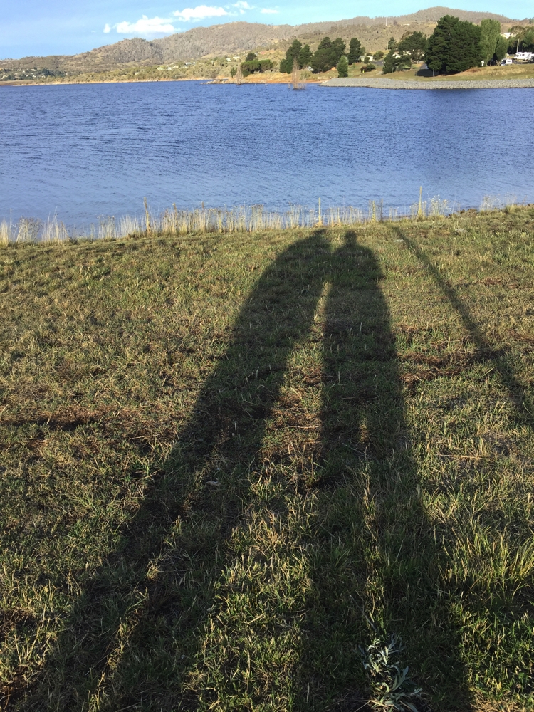
Afternoon shadows at Lake Jindabyne.
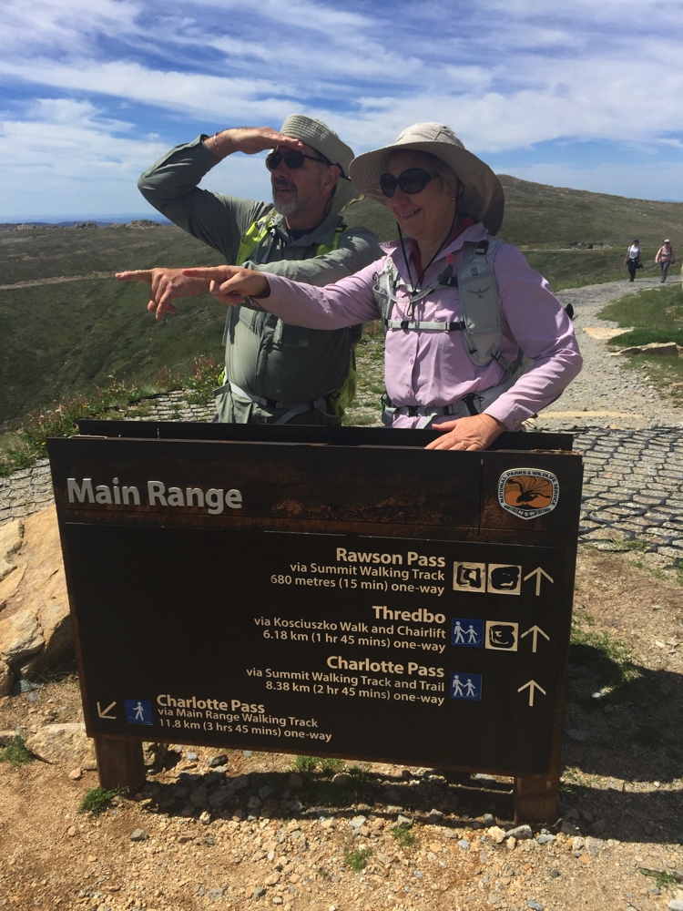
Monday we were up at Thredbo by 10am and took the ski lift up some of the way to Kosciuszko. We’re going to the summit again, this time via the Kosciuszko Track which starts at the ski lift at Thredbo Village, then you walk the remainder – 12km round trip. This path to Kosciuszko is very pretty and 90% of it is on metal board walk – so much easier to walk on then gravel or paving rocks.
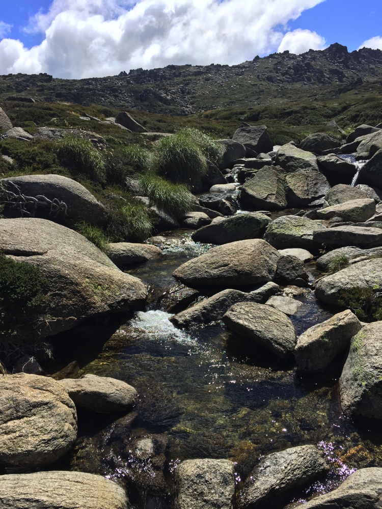
The many little creeks tumbling down the mountainside are so pretty.
We really enjoyed the walk, and not nearly as many people up the top this time. The ski lift down, where you could see the view better, was quite spectacular. That’s twice we’ve been to the top now and walked 3 different routes (there and away), so no need to do it again!
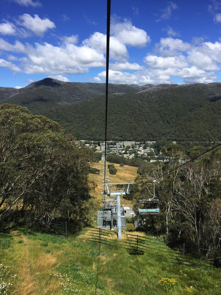
Descending the ski lift – Thredbo below.
Dinner tonight in Jindabyne at the Maya Asian restaurant. (OK)
Tuesday 14th
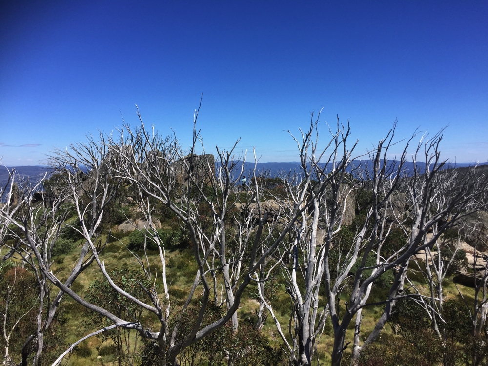
Leaving Jindabyne we restocked everything (water, fuel, food), had breakfast at the Information Centre Cafe – top cafe – parked the motorhome in Thredbo and walked the combined Dead Horse Gap and Thredbo River walks for a total of 11km. The Dead Horse Gap walk took us through beautiful Snowgums. A lot of the gums have died from a fire in the park in 2003, which is a tragedy, but their pure white trunks still look stunning. Plenty of new growth coming through.
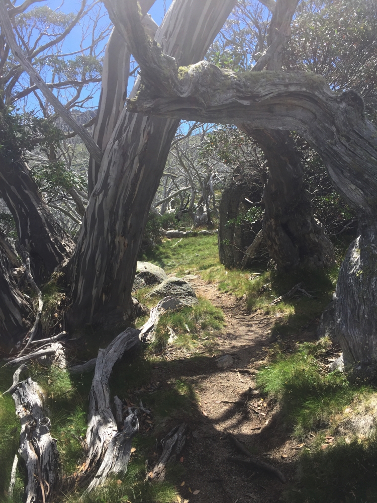
Amazing natural sculptural works of art along the Dead Horse Gap track.
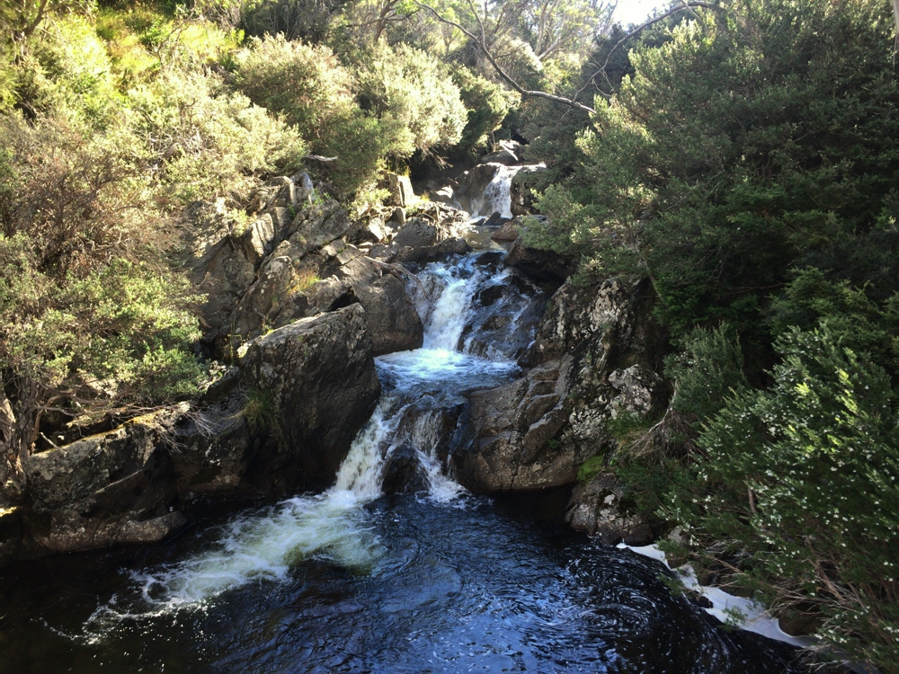
Falls, on the Thredbo River.
Tonight we camped at Ngarigo campsite. This is a fantastic camp beside the Thredbo River. If ever I’m back, try to get the first campsite on the right as you come to the open area again! A campfire this evening kept us happy for many hours.
Wednesday 15th:
I’d like to call today a lazy day because we didn’t go anywhere, nor do any of the lovely walking or cycling along the river you can do from the camp (Ric and Gill did!), but instead I did home maintenance, sorting drawers, labelling spices, and cleaning, and still felt I’d put in a hard day.
Thursday 16th:
Today we move on, but not before another walk. We parked the motorhome and camper at Dead Horse Gap and headed off on the Cascade Hut walk. Ric did the whole walk, Gill, Steve and I only as far as Bob’s Ridge. It was a good out-and-back walk of nearly 10km, the ‘out’ being all uphill. We crossed the Thredbo River which was beautiful, lovely views across valleys and interesting rock formations, but not as stunning as some of the other walks we’ve done.
The view from Bob’s Ridge. Look carefully to see Denise through the trees on the far rock.
This is our last walk in Kosciuszko NP, for the time being. Still plenty more to do on another visit.
We headed out on the Alpine Way, a steep winding road taking us towards our campsite for tonight at Geehi. It’s quite a descent, not recommended for caravans – we did most of it in 2nd or 3rd gear. It was 21C when we started heading down and 30C at Geehi.
The campsite is fantastic – heaps of sites, mostly separated from each other along the Geehi River. We needed a swim! The Geehi R is a typical Alpine River – only about half a metre deep, large granite rocks form the riverbed, crystal clear waters flowing very rapidly and freezing cold! It was heaven.
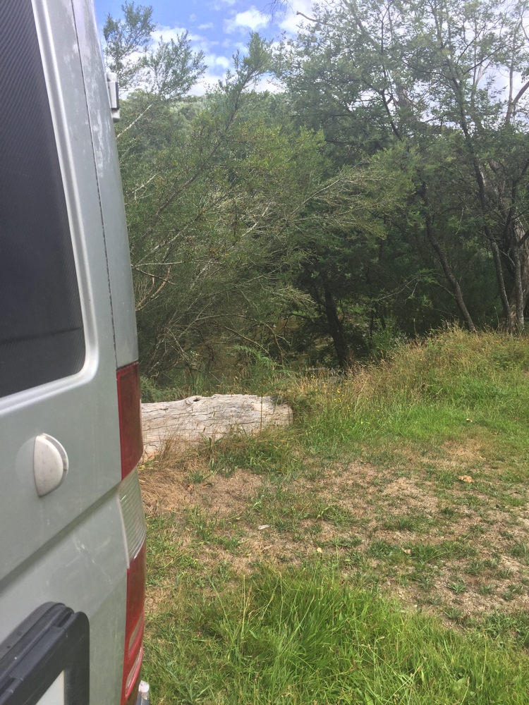
Lousey picture of our campsite at Geehi. Between the trees is the river. It was a very pleasant campsite.
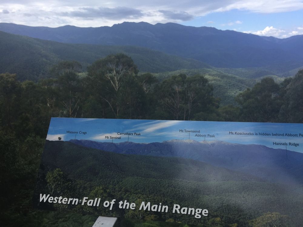
View of Main Range from a lookout as we left Kosciuszko NP. Interesting to see Carruthers Peak and Mt Sentinel from this angle – we walked up Carruthers Peak on our return trip from Kosciuszko summit the first time.
To see more photos from our time in Kosciuszko National Park CLICK HERE.