North West Tasmania

2nd – 12th February

Friday 2nd

The weather was very average, with lots of wind. The first 3 hours on the Spirit of Tasmania crossing Port Phillip Bay were blissfully calm, but … Bass Strait was choppy! Our booked recliner chairs were at the stern of the ship which I’m led to believe is the best spot in rough seas. Once we were in the Strait I only got up once to go to lunch and very nearly wished I hadn’t.
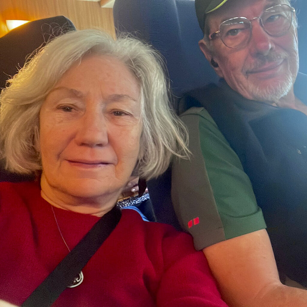
Recliner chairs on the Spirit. Could that be a green tinge to my face?

Anyway one book nearly finished and 11 hours later we disembarked in Devonport, Tasmania! So exciting! 
Tonight we’re staying at the Ulverstone Golf Club camping area.

Saturday 3rd

A slow start to the day as we planned the next couple of weeks, replenished the fridge and settled in for the night at a quiet, pretty campsite on the banks of the Leven River.

Sunday 4th

Ahhh Tasmania! It really is relaxing with its rolling hills, green pastures, chubby cattle and sheep and, at the moment, clear blue skies. A drive south climbing through majestic eucalypts brought us to Preston Falls. A  well-constructed 200m track with a few stairs led to a viewing platform on the cliff edge above a pretty waterfall dropping about 25m.
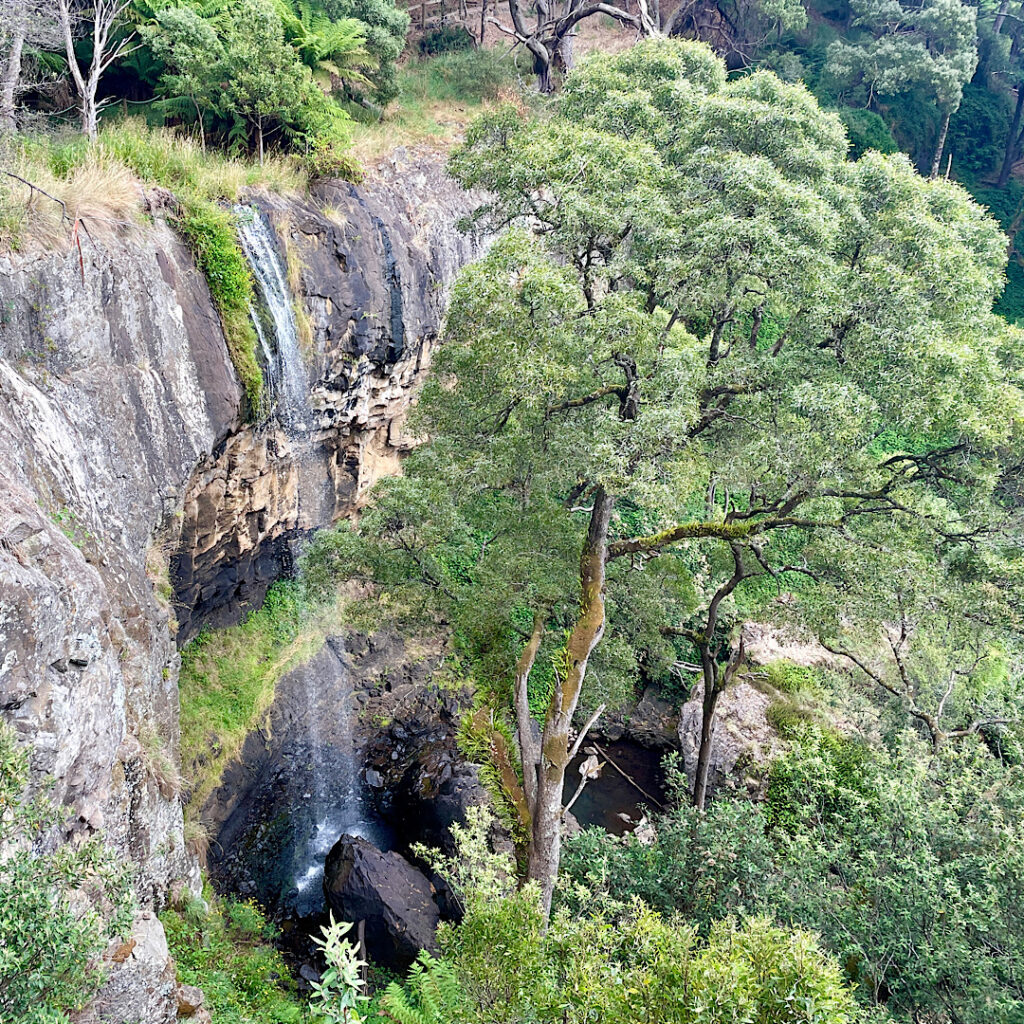
Preston Falls

Back on the road southward Leven Canyon was our goal. The Leven River has carved the deepest canyon in Tasmania, some 275 metres below the lookouts. A large parking and picnic area was nearly full when we arrived. It’s also a free camp.

There are two lookouts over the canyon which can be accessed separately by short out-and-back walks, or a circuit which joins both lookouts together by “the steps”. Purposefully choosing to ascend “the steps”, we set off clockwise. A well-constructed path led downward through tall, mossy-trunked gums which sheltered a glade of giant man ferns (the term Tasmanians use for tree ferns).
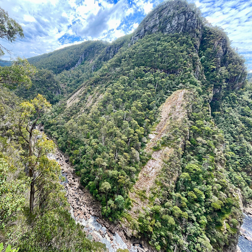
Leven Canyon from The Edge Lookout.

At The Edge Lookout a viewing platform is suspended above the cascading rapids of the Leven River. After enjoying the view we headed back a little way to where the track branched to go up the steps.
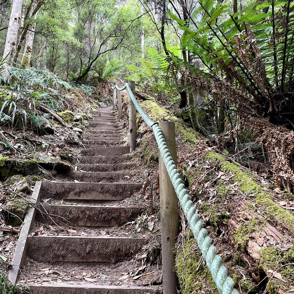
Just a very few of the 697 steps on Leven Canyon walk.

697 steps, to be precise! Bench seats along the way were engraved with the number of stairs you’d already done, the number to go, and how many stairs before the next bench seat. My walking poles were a godsend!
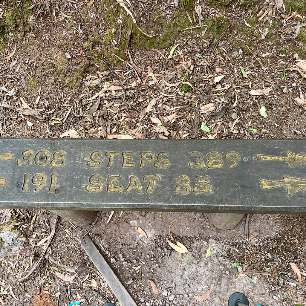
A bench seat (one of many) on the Leven Canyon walk, indicating how many steps to go and how many you’ve already done. And how many steps since the last bench seat and how many before the next one.

Back at the car we descended the range coming out in mixed farming country again. Tasmania supplies 75% of the World’s legal poppies for making codeine and morphine. Sadly we’ve missed the flowering stage, however the poppy heads are still on the plants, drying out before harvesting.
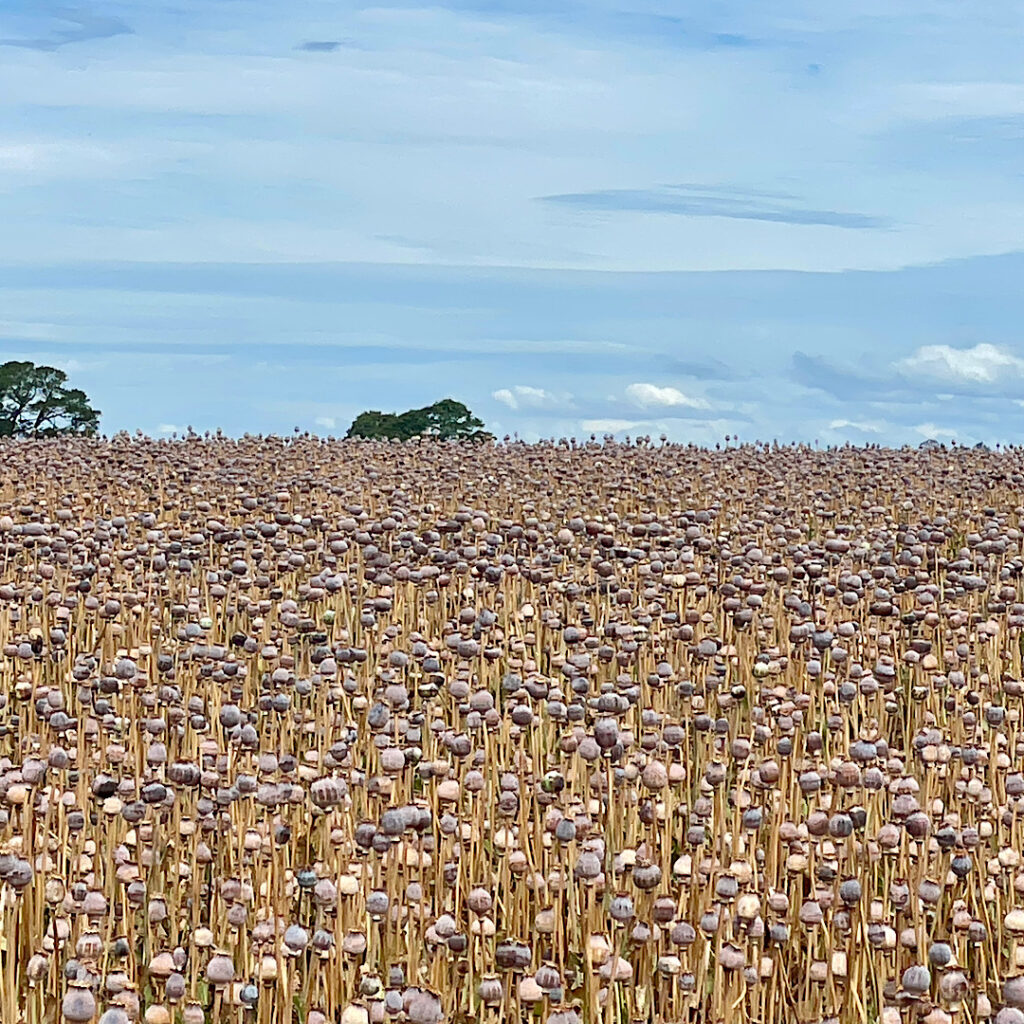
Poppy field.

Our campsite tonight is a free camp on the coast near Penguin ignominiously called Sulphur Creek. No it didn’t smell of sulphur!
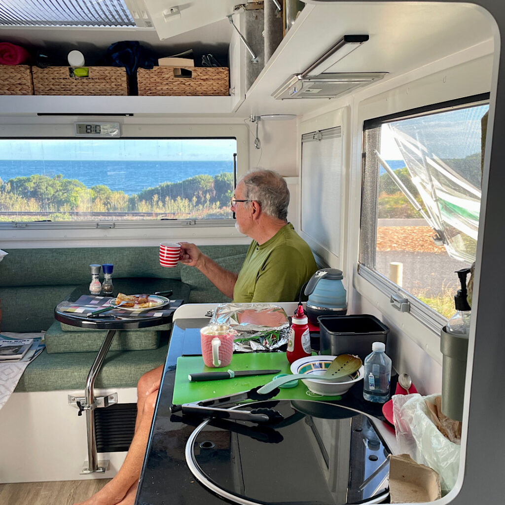
Breakfast at Sulphur Creek. Just west of Penguin.

But first we picked up a few groceries in Penguin, wandered the streets a little and had a beer at the Penguin Brewing company – delicious it was too!
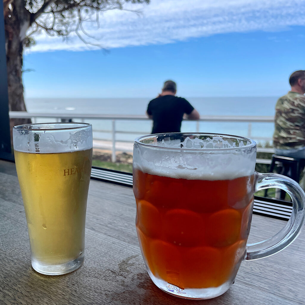
A couple of craft ales from the Penguin Brewing Co. Mine is the ‘Little Penguin’ and Steve’s the ‘Emperor Penguin’. Both excellent.
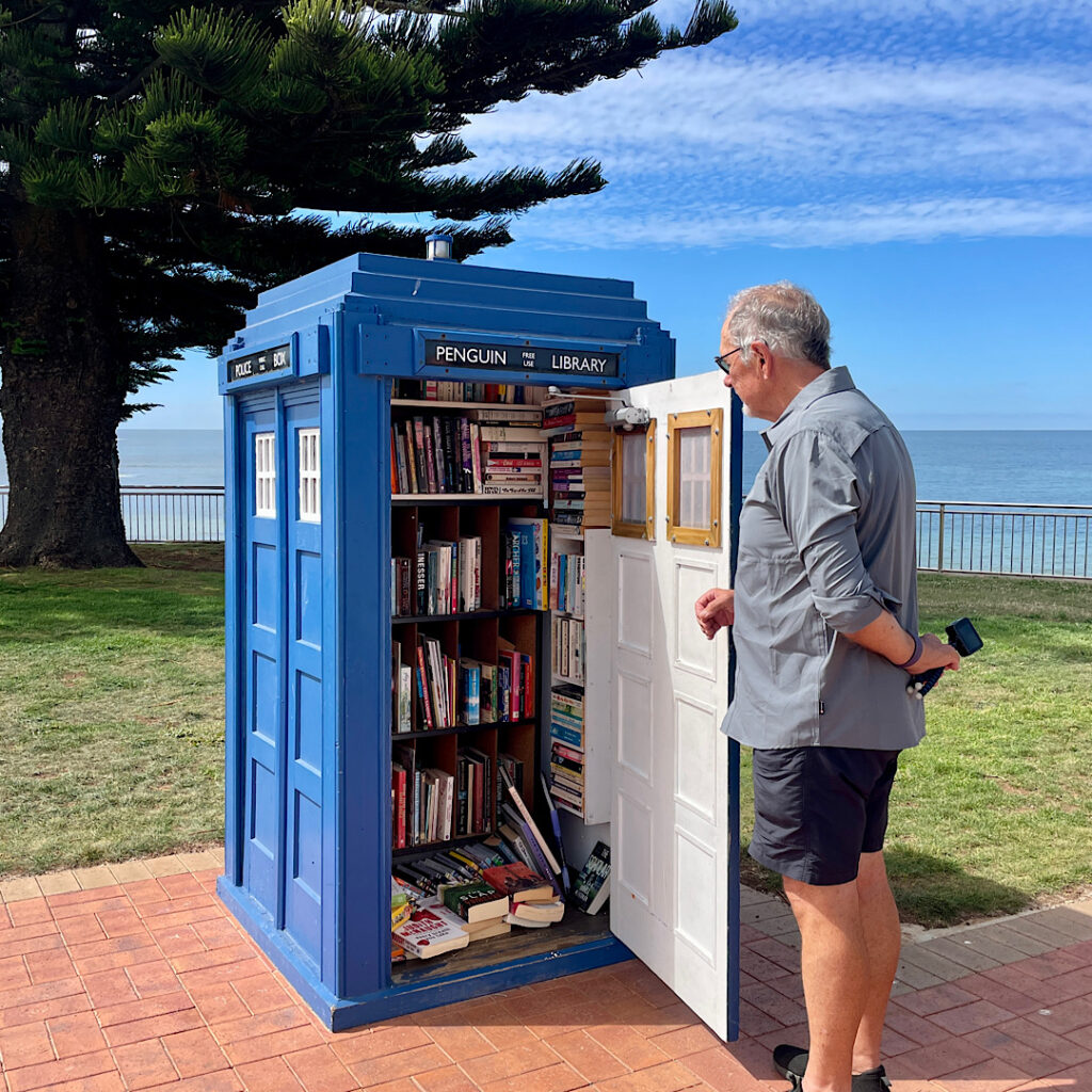
What a delightful street library at Penguin.

At the campsite we spent a pleasant Happy Hour with Explorer owners Margie from Melbourne and Kev and Denise from Buderim. Explorer motorhome owners are well-connected through a Facebook group, and it just so happened that quite a few of us happen to have chosen Tasmania to visit this year.

Monday 5th

Continuing westward we found a walk to do at Rocky Cape National Park – the 11km Broadview Circuit Track. It starts with a steep climb (does any hike not start with a steep climb!!) before entering the National Park. A well-defined sandy path through heathlands gives great views back to Sisters Beach, our starting point, before coming to the junction to summit Broadview Hill. The hilltop provides sweeping views of the coastline, and our path yet to tread.
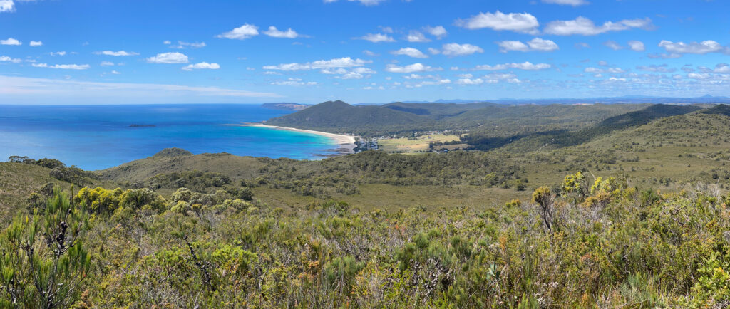
Sisters Beach from Broadview Summit

Back on the good path we headed to Anniversary Point. A steep descent brought us down onto the beach where we were fortunate to have arrived at low tide – good, firm sand to walk on. This interesting little bay has offshore rocks known as The Five Sentries.
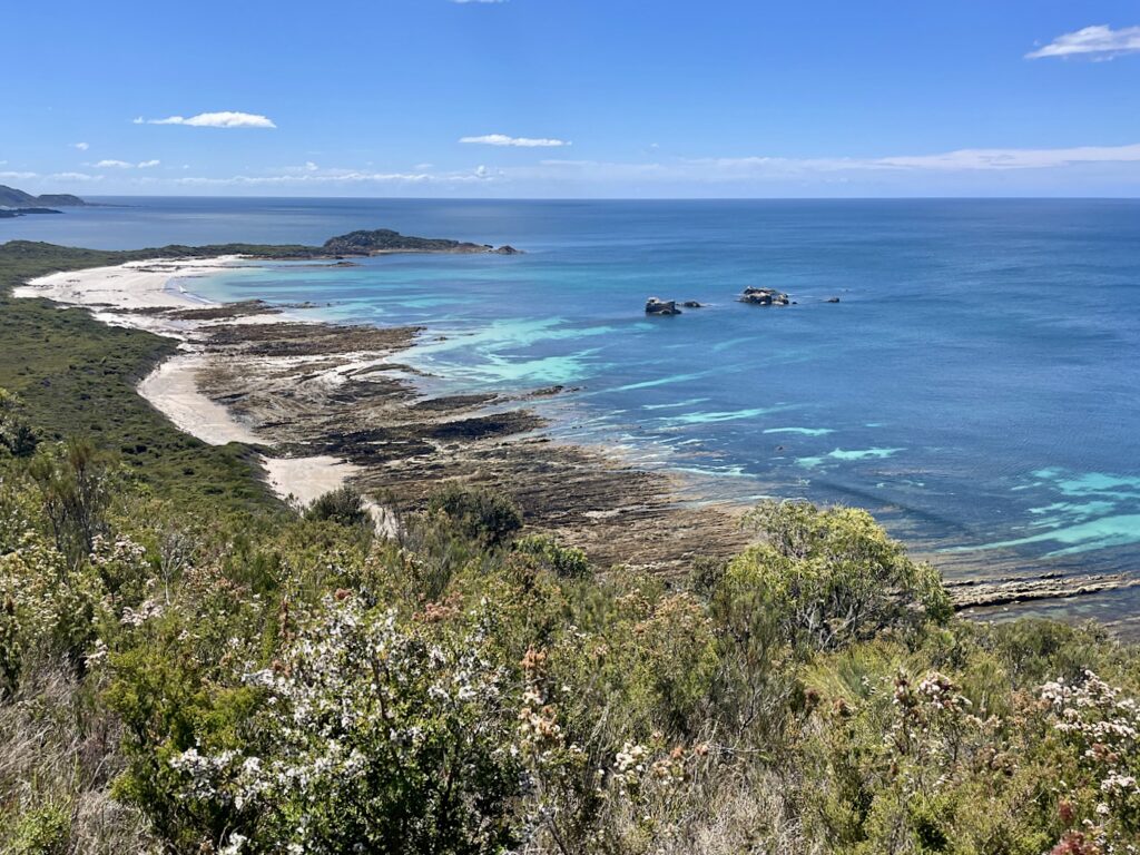
Anniversary Bay. Broadview. Hiking track includes full length of beach. Note the Five Sentries just offshore.

About a kilometre along the beach it becomes quite rocky with a wide wave-cut platform making for fun rock-hopping. 

The climb back off the beach again is, once-more, very steep. The flora is now predominantly a banksia grove, with the largest banksias I’ve ever seen – some trunks being so big you couldn’t get your arms around them to hug.
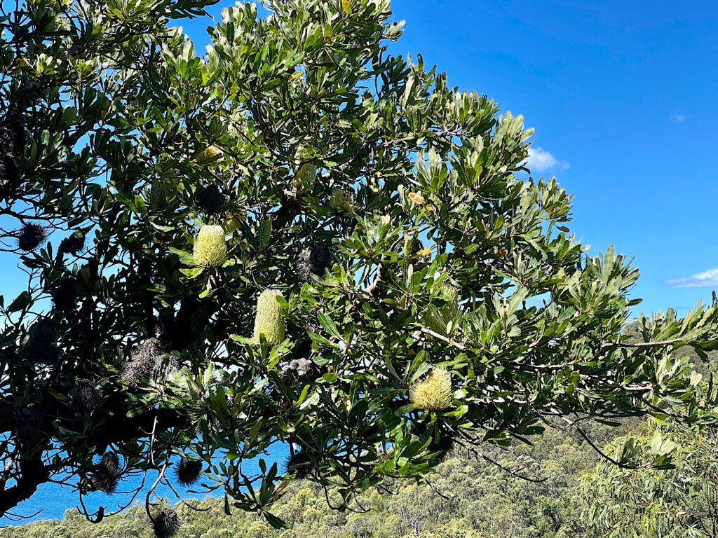
Banksias on the Broadview Circuit Track.

Lee Archer Cave at the bottom of a steep descent back down to the beach contains a midden and artefacts deposited over thousands of years, and are still used by the Aboriginal community for shelter and ceremony. Respectfully being asked not to enter the cave meant there wasn’t a lot to see from the mouth of this wide, deep cave. 

Lee Archer Cave – on the Broadview Circuit Track.

Climbing back to the path again we continued on to Wet Cave – a narrow opening leads downwards into a wide, deep cave with a pool at the end. Soon after leaving the cave the track leads back onto the beach for a short walk to the boat ramp and back to Harvey, our motorhome. And so ended another enjoyable hike with an array of flora and lots of birdlife and lizards.

A drive to Stanley and an early night after a well-deserved shower was in order.

Tuesday 6th – Wednesday 7th

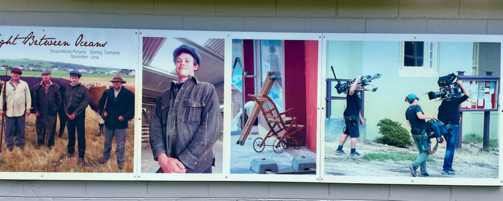
Stanley is a pretty little town with its many beautifully preserved historic buildings from its heyday as the centre of the Van Diemen Land Company and also the birthplace of Joseph Lyons, Australian Prime Minister (1932 – 39). Consequently Stanley became the perfect choice to film the movie The Light Between Oceans, a post World War I drama.
But the most striking landmark in Stanley is The Nut! In 1798 Matthew Flinders described it as “a cliffy round lump that resembles a Christmas cake”. This stump of an old volcano rises some 150 metres above sea level.
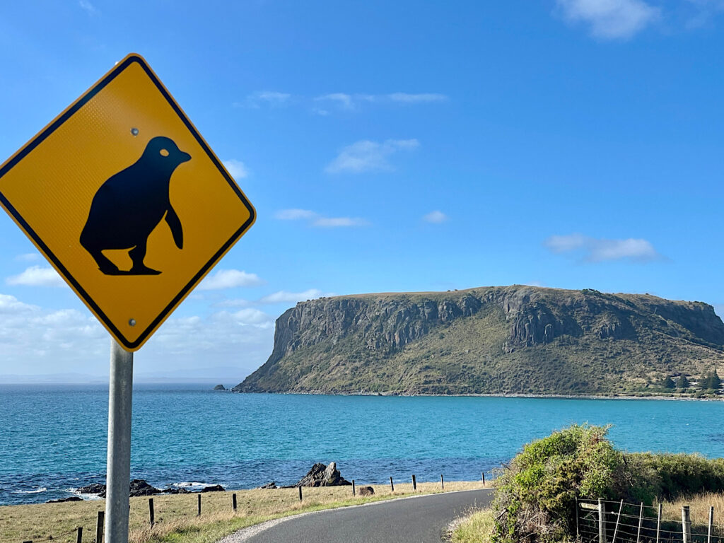
The Nut or is it a Christmas Cake, Stanley.

We climbed the very steep path to the top and wandered the 2.5km circuit path that follows the cliff line. A pretty and varied walk with unobstructed views all around.
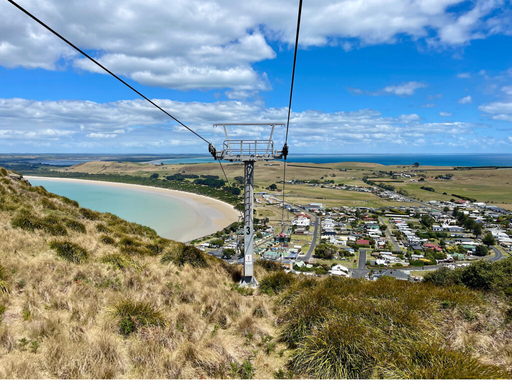
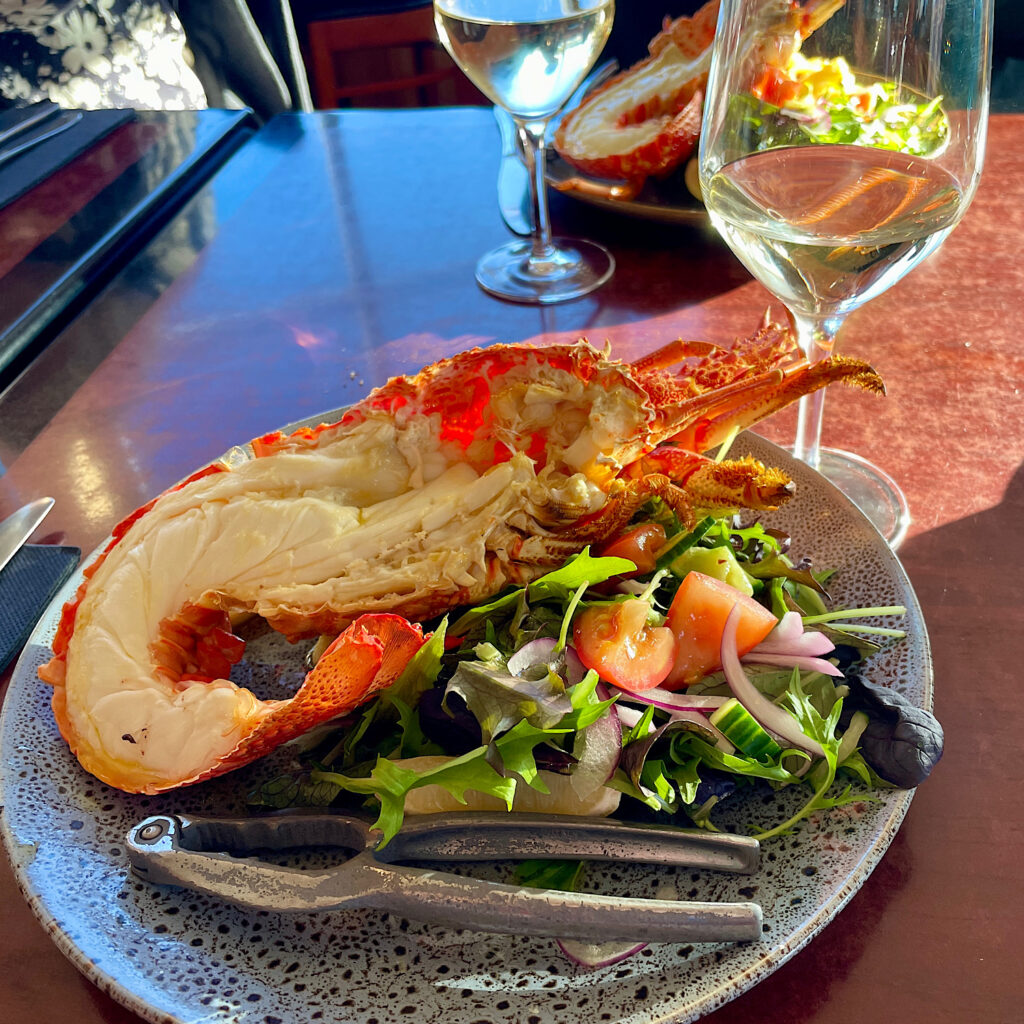
Stanley from the chairlift. Looking west.
Enjoying a night out with friends. Stanley Hotel

Thursday 8th Feb

Not far out of Stanley is Highfield House, the now restored 1830’s home of Edward Curr, the Chief Agent of the Van Diemens Land Company. The history of this first settlement in north-west Tasmania is a sordid one with maltreatment of the convicts assigned to the Company and a massacre of the local aboriginals.
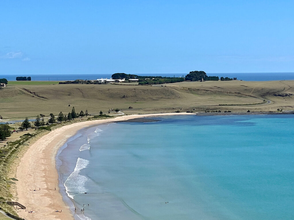
Highfield House from The Nut. Looking north

Popping into many of the little beachside communities along the northern coastline as we returned eastward rewarded us with unspoilt white beaches with the bluest ocean lapping at the shores.

Of interest is the 1.8km long jetty at Port Latta. Iron ore, mined at Savage River, is made into a slurry and transferred to the Port via an 85km long pipeline. Here it is converted into pellets and exported, mostly to Japan.

Rolling hills with grazing sheep and cattle, fields of onions, potatoes, poppies and tulips brought us to another volcanic plug known as Table Cape. Tulips have been grown on these rich basalt soils since 1984, the bulbs now being exported to Holland.
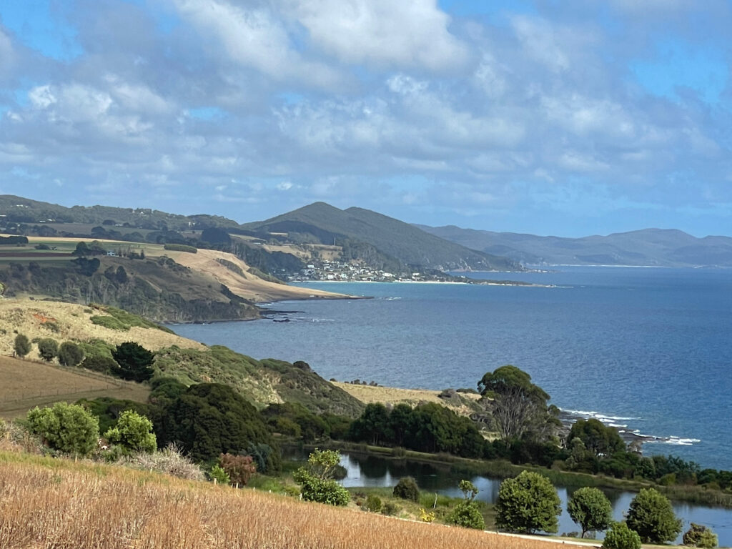
Table Cape. Imagine those bare fields covered in poppy and tulip flowers.

A lighthouse built in 1888 still warns shipping of the perils of this rocky coastline.
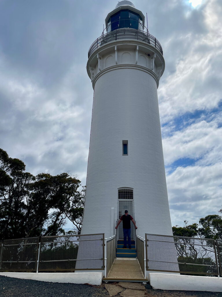
Steve just finishing an arduous shift saving ships from certain disaster, Table Cape Lighthouse.

Friday 9th Feb

Today we mixed it with the locals. Don and Jan from Burnie, RVing friends from way back, met up with their traveling crew of about 5 other motorhomes at Hagley and invited us to join them. Tales of travels done and yet to do provided great entertainment.

Saturday 10th – Monday 12th Feb

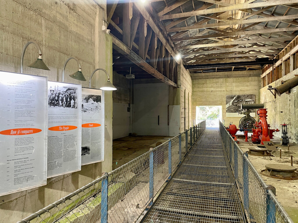
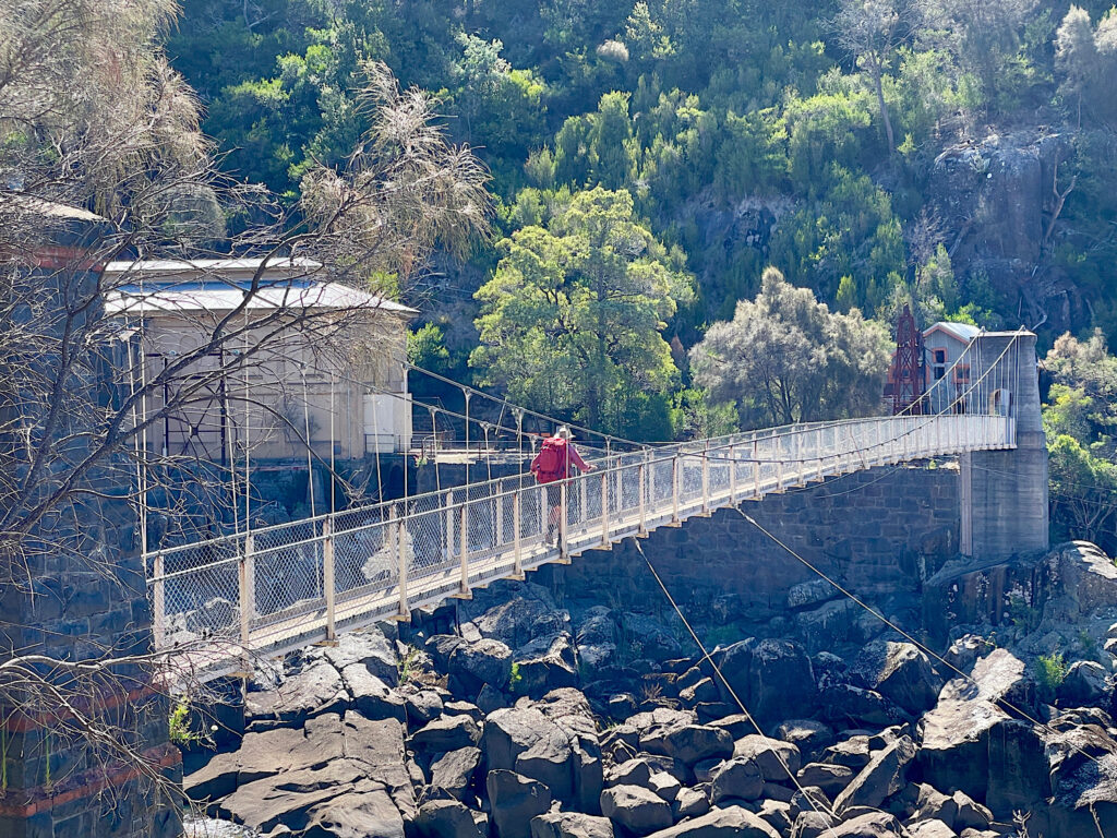
No trip to Launceston would be complete without a visit to Cataract Gorge. This beautiful gorge formed by the South Esk River has a cafe, large grassed picnic area, a swimming pool, a chair lift and lots of walking tracks. We headed off on the 6km return walk along the cliff edges of the gorge to the Duck Reach power station. This station, one of the earliest hydro-electric power stations in the world, operated from 1895 to 1955.
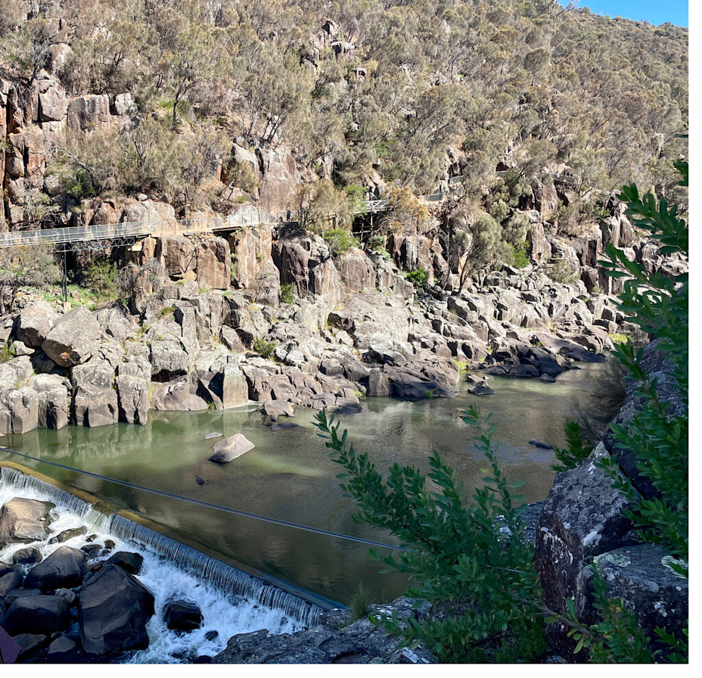
The walking track to Duck Reach power station.
Crossing the river to the power station.
Duck Reach power station
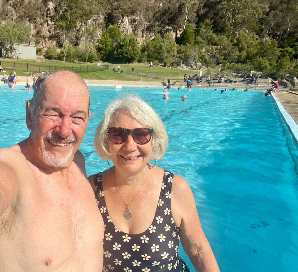
A well-deserved swim at the Gorge pool

Saturday night we camped at Old Mac’s Farm ($20) after spending the afternoon reminiscing as we wandered the Lonnie CBD.

Sunday night was at Honeysuckle Banks free camp near Evandale where preparations were in full swing for next weekend’s penny farthing races.
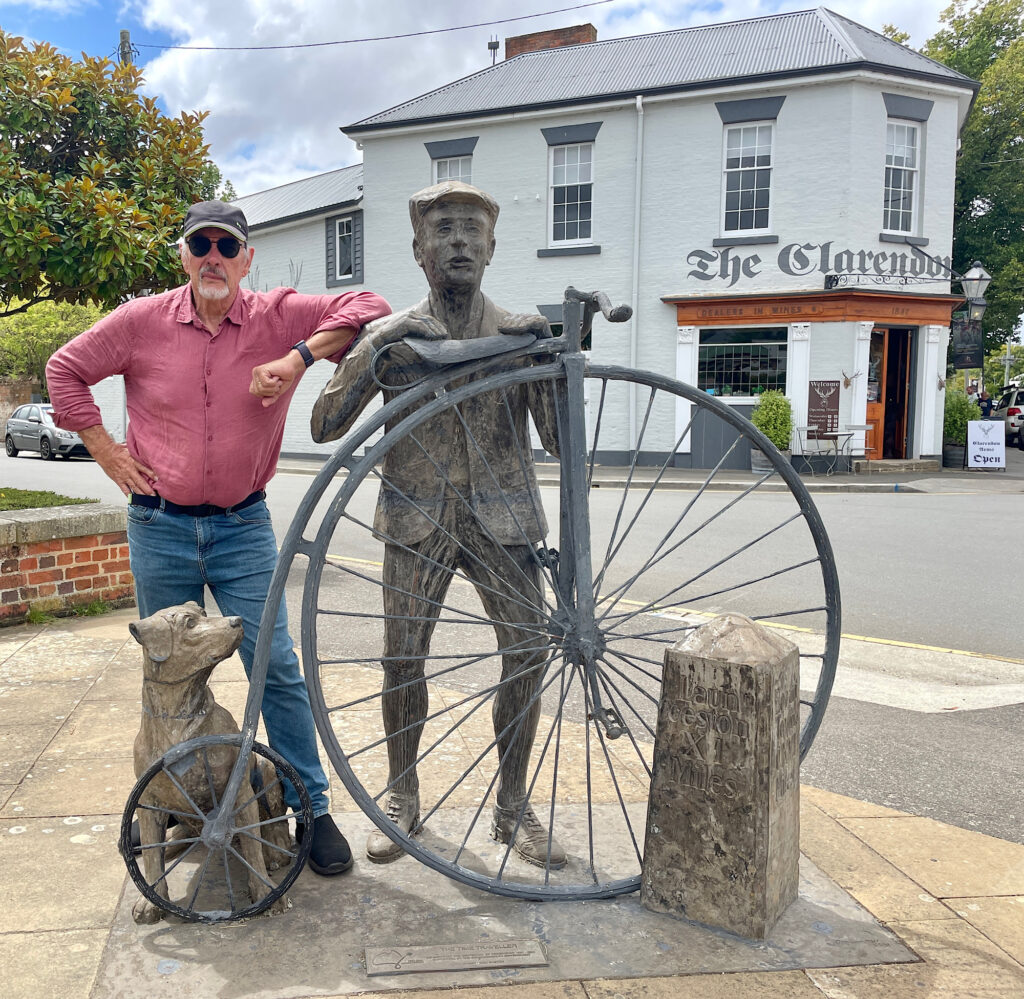
It wouldn’t be the first time Steve has ridden a penny farthing.

Our backpacks were emptied and repacked and weighed several times before we were finally satisfied. But generally we (particularly me) just tried to keep the nerves in check. Sunday night we camped in the carpark of the Red Feather Inn at Hadspen, the meeting point for the hike. This 6-day, 64+km hike in the Tasmanian Highlands is going to be a challenge.

Home to The Spirit

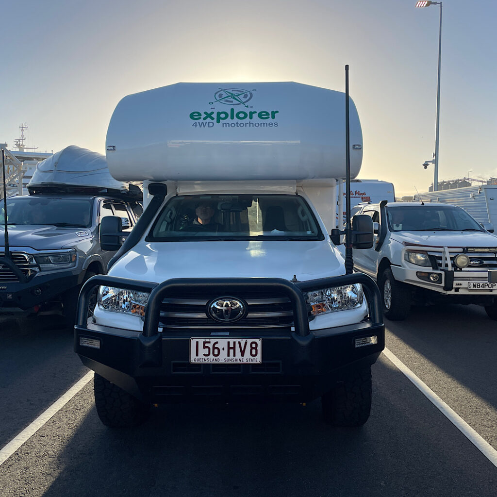
We sold Priscilla, our 4×4 Mercedes Sprinter at the end of 2022 and ordered Harvey another 4×4, this time an Explorer motorhome built on a Toyota Hilux base, taking delivery in August 2023. This is to be our first ‘big’ trip since 2022 -we’ve missed that wonderful feeling of freedom that a long trip with not much planned gives us. 

13th January – 1st February 2024

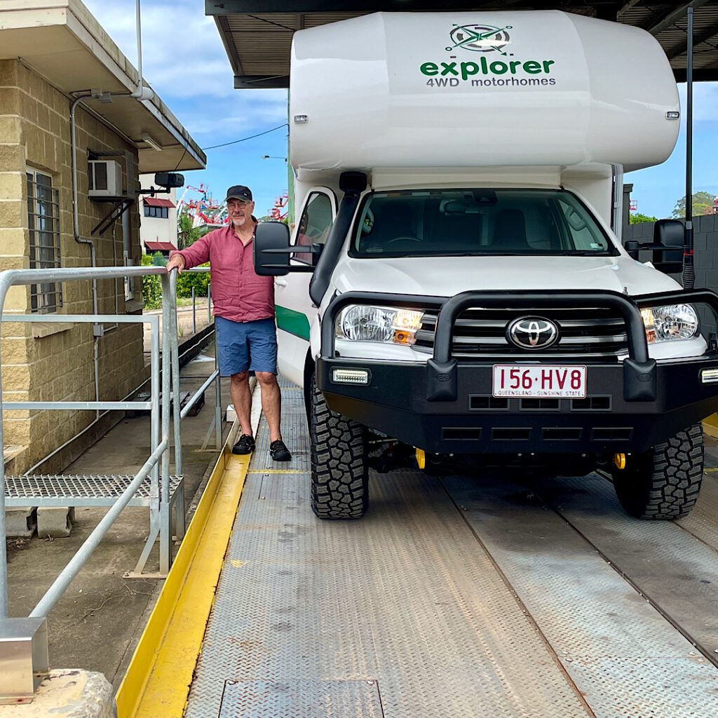
Weighing Harvey fully loaded as we leave for Tasmania.

Our first stop was the public weigh-bridge at Caboolture. Our total weight came in with a bit to spare – that was a big relief! Tasmania, here we come.

Night 1 was spent with our friends Bryan and Trish in Boonah. Next morning we all breakfasted at our ‘regular’ in Boonah before we farewelled Bryan and Trish, then dropped in on my aunt in Warwick. About 2.30pm we arrived at Girraween National Park.

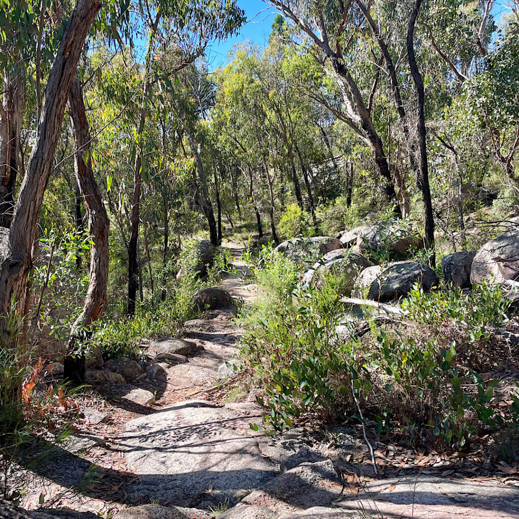
On went the packs and the boots for the hike to Castle Rock. The huge granite rocks of this area are amazing. 

Trail to Castle Rock. Huge granite rocks everywhere.

Monday 15th Jan

We’re heading off today but not before doing another bush walk. We went the opposite direction to yesterday’s hike following Bald Rock Creek to its junction with Ramsay Creek where their waters will flow on to eventually join the Murray Darling system. 

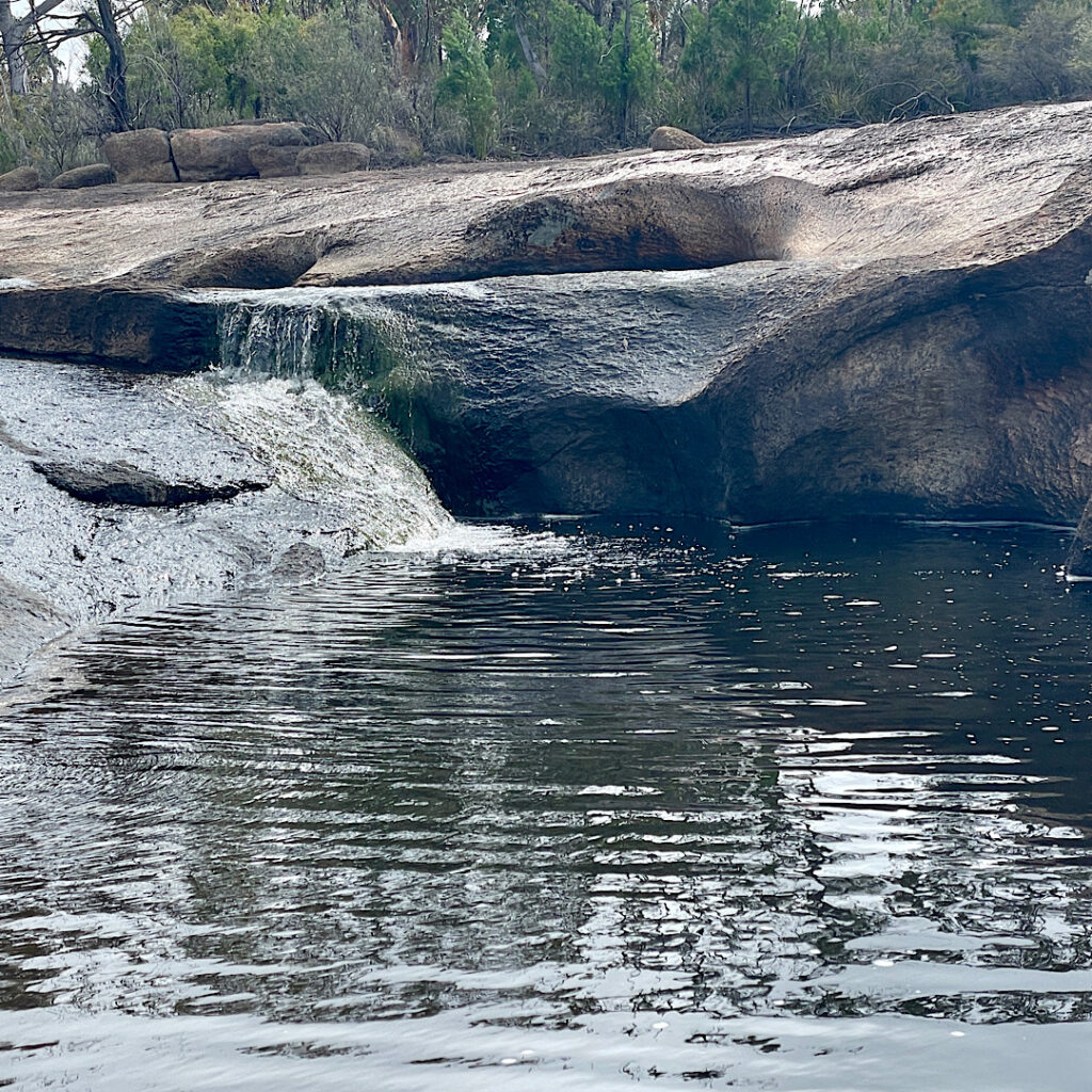
Pretty waterfall cascading over the granite slabs.

It was easy, flat walking with lots of delightful little waterfalls and beautiful spots to stop for a dip in the crystal clear waters. Lazy goannas soaking up the sunshine, little lizards scurrying away on their back legs  with head raised, several red-necked wallabies and some Eastern Greys and countless birds and flowers made for an enjoyable hike. About 6km round trip. 

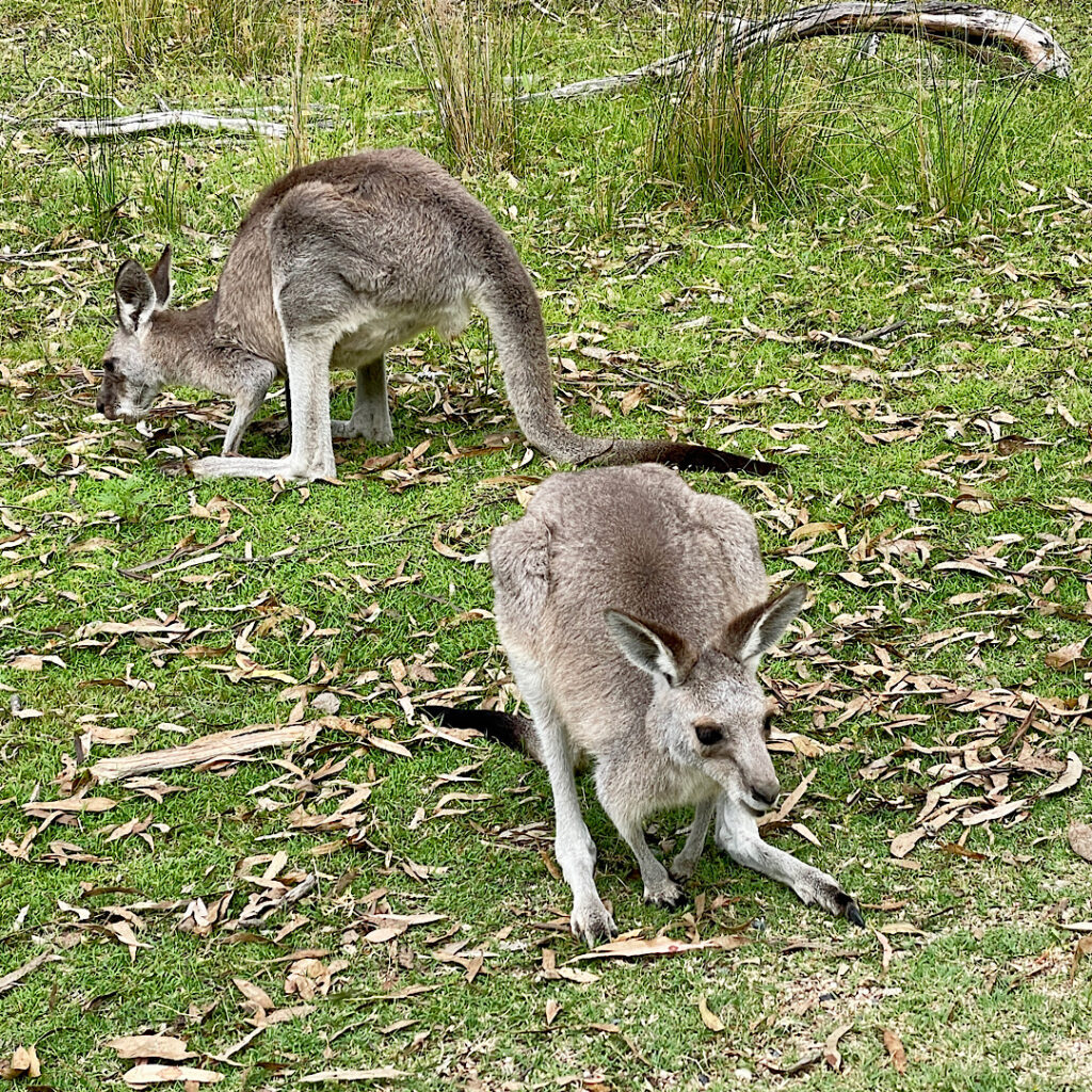
Eastern Grey Kangaroos

Leaving Queensland a productive morning was spent solving the world’s problems in Tenterfield with our friends and previous travel companions Pammy and Milton before continuing the journey to camp in the rain at Mother of Ducks Lagoon outside Guyra, with about 20 caravans! 

Tuesday 16th Jan

Still drizzling and cold this morning we were happy to get back on the road early heading straight to Tamworth to our favourite cafe, Rubys, for brunch. Once off the New England Tableland the temperatures once again rose to the low 30s despite the cloud cover and we had an easy drive to The Black Stump Rest Area for a peaceful night as its only residents. 

On Wednesday when we stopped at Molong for lunch the rain started and got heavier and heavier, particularly during the 15 minutes Steve had to stand outside filling the water tank. On the rain radar it showed a break coming up so we continued on to Bendick Murrell Rest Area south of Cowra for the night – another peaceful night on our own. 

Thursday 18th Jan

The rain cleared this morning to a beautiful day. The drive through Young for a coffee at the cafe, Tarcutta for brunch and Holbrook before arriving at Gadds Bend for the night is one of the prettiest drives we’ve done. The rolling hills, getting higher the further south we travelled were all a deep emerald green, while the black Angus cattle and the white sheep contrasted so beautifully against the background. 

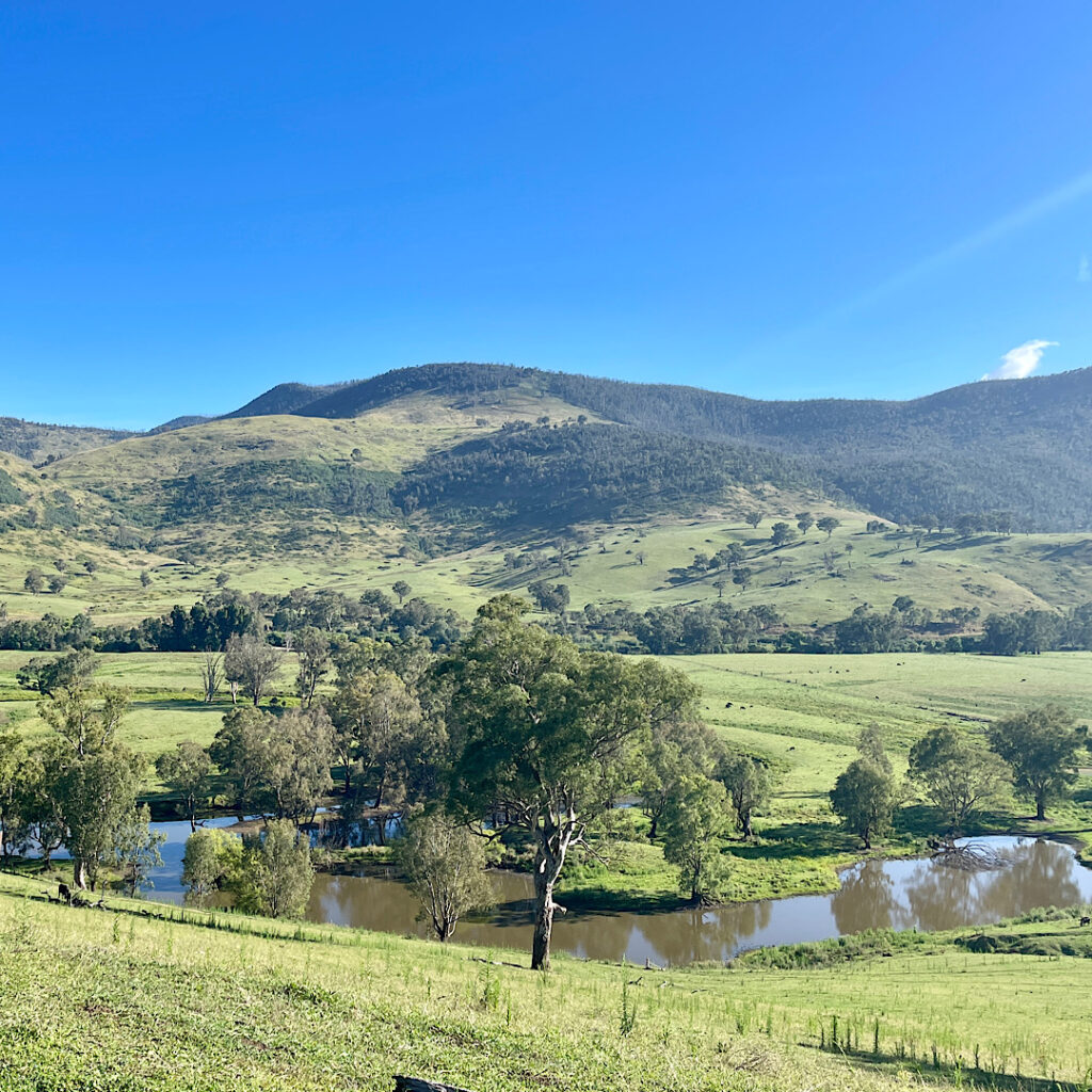
Perfect reflections in the Murray River as seen from Mt Alfred.

Gadds Bend, on the Murray River just over the border into Victoria, must be one the the best free camps we’ve stayed in. We first stayed here in 2017 and it hasn’t changed at all. It’s a very big, grassed area along about 200 meters of the river which is lined with big River Red Gums reflecting perfectly in the swiftly flowing waters.
Another perfect, peaceful night.

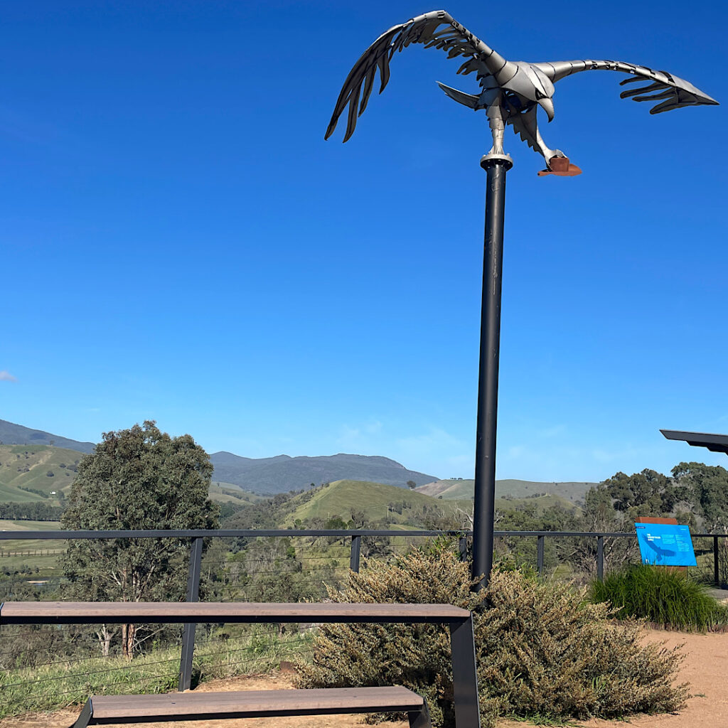
At the picnic area, Mt Alfred. Note the object in the wedge-tailed eagle’s claw.

Friday 19th Jan

Today we head to Kosciuszko National Park for some walking. Wow that road up the mountain sure is steep and winding. As the passenger I had wonderful views of the mountains, gullies and trees. It was interesting watching as the flora changed from thick rainforest-type vegetation to alpine vegetation as we drove higher. The line markings on the road changed from white to yellow and tall guide posts with reflectors at the top signaled the beginning of the snow line – as well as pull-over bays for drivers to fit chains to their tyres. No snow today, but the temperature was dropping.

First stop the Information Centre at Jindabyne where we recall an excellent cafe from our previous visit. We also bought a 2-day Park Pass for $34 then headed out to Sawpit Creek to do the 6+km walk to the waterfall. A pleasant walk with a stunning waterfall. 

Sawpit Creek Waterfall

Then off to Island Bend campground – our favourite from our last visit 7 years ago. Surprise, surprise it’s changed! Back then we had a lovely camp on the grass right beside the river, and we were the only ones there. Now they have campsites starting from right up on the main road all the way down the hill, and they were nearly all full (OK it is Friday night during the school holidays). To get to our previous camp it’s noted to be 4-wheel-drive only. We walked it – very big holes and washouts! And the grass camping is only for tents. We did find a spot up the hill a bit and had a good night, but it was very disappointing. 

Saturday 20th Jan

Tell me again why we’re both smiling!

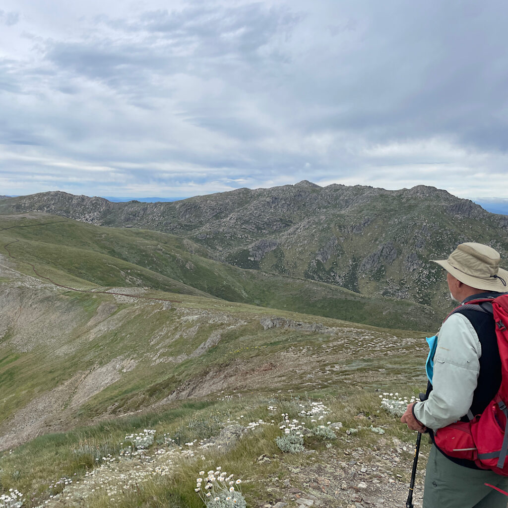
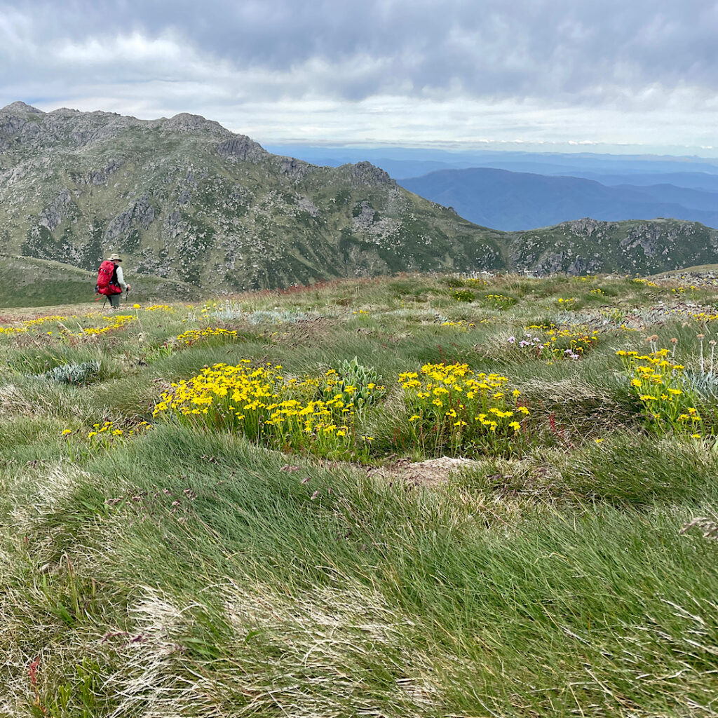
Today we walked the Main Range Circuit track to Mt Kosciuszko and the Summit Track to complete the circuit- 23km! It really is a stunning walk through alpine country. It starts at Charlotte Pass and immediately heads downhill fairly steeply for about a kilometre to the Snowy River which, due to recent rains, is flowing swiftly and is relatively wide. This has to be crossed on stones of various sizes and width and stability. With our big packs weighing more than 10kg I found it a very daunting crossing, which I’m grateful to say I crossed without incident. From there the track just went up, and up and up.

Yes Steve that is our path. Keep going. Mt Kosciuszko in the too far distance to see just yet!
Steve on the Main Range hike to Mt Kosciuszko.
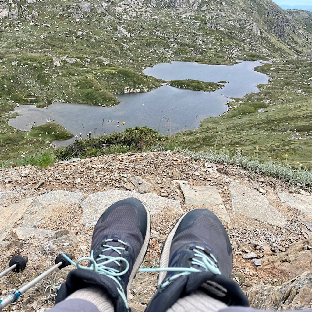
Lunch break overlooking Lake Alpina. Main Range hike to Mt Kosciuszko.

It took about 4.5 hours to finally reach the summit of Mt Kosciuszko, Australia’s highest mountain. The Main Range section is stunningly beautiful. The surrounding ranges fade off into the distance as we walked along mountain-sides overlooking pristine crater lakes. 

The downside was the track construction. Some of the Main Range track was natural surface, excellent to walk on, large sections were granite paving stones of different sizes and surfaces which was not only very hard underfoot but dangerous to not be watching every footfall for fear of tripping. There was one section about 3km long of raised steel boardwalk – bliss. The Summit Track, to complete the circuit back to Charlotte Pass, was predominantly large stony gravel, very difficult to walk on. 

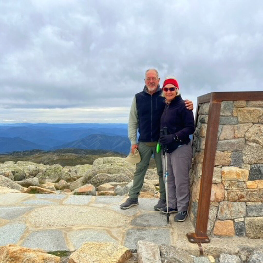
On the top of Australia

Finishing the walk about 6pm, both exhausted, we decided not to go back to Island Bend but stayed at a picnic area beside Sawpit Creek. An early night tonight.

Sunday, Monday, Tuesday 21st – 23rd Jan

After a slow start to Sunday the drive to Corryong where we camped at the recreation grounds alongside the golf course, was short.

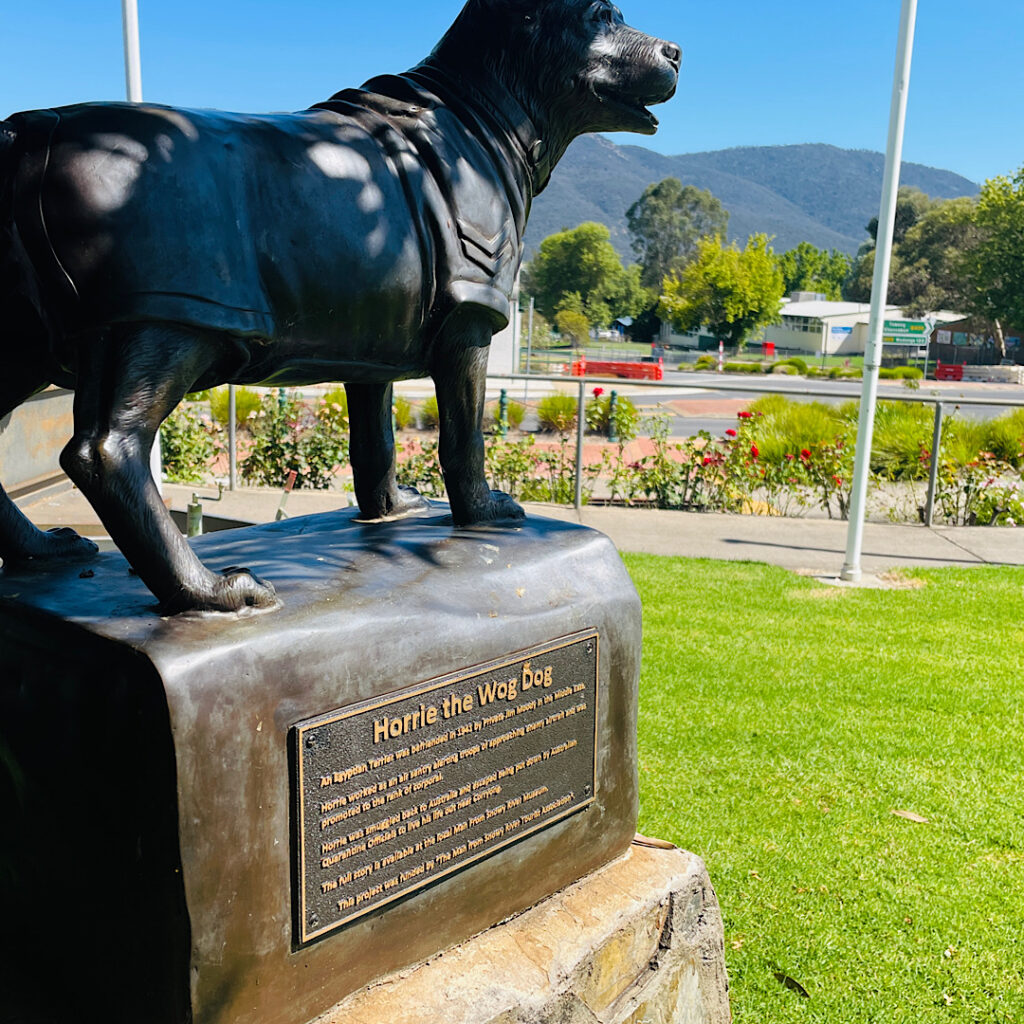
Horrie the Wog Dog was befriended in the Middle East during WWII where he reputably had extraordinary hearing, alerting the troops to enemy aircraft. He was smuggled back into Australia and lived out his remaining years in Corryong. Note he’s wearing his Corporals uniform.

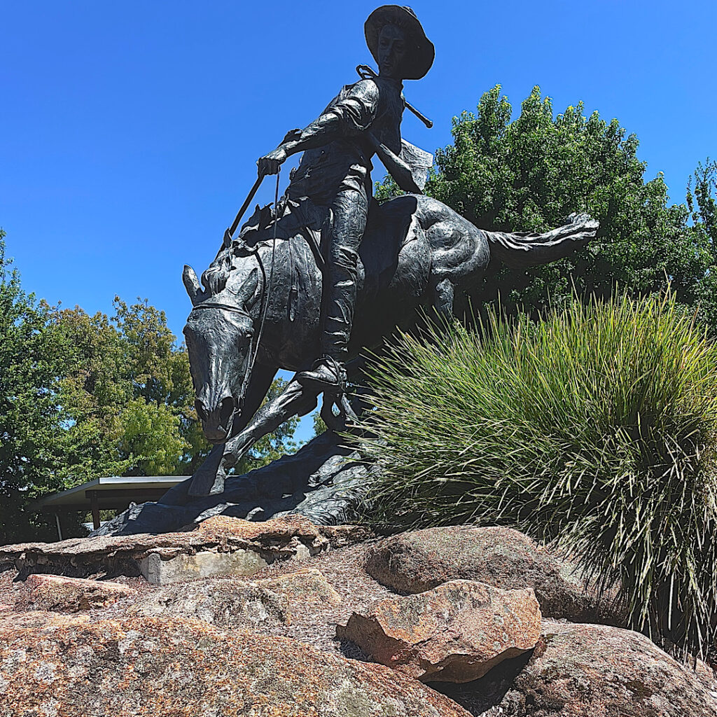
Monday, with a little more energy, we walked around town where the “tourist drawcard” is the local lad Jack Riley who is thought to be the drover referred to in the Banjo Paterson poem The Man From Snowy River. The 6km walk included summiting Playse Lookout. 

The Man from Snowy River

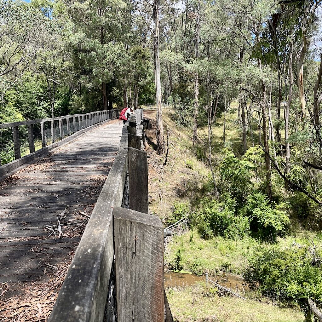
Next morning, on the way to Tallangatta, we popped in to see the 77m double storied ‘trestle bridge’ over Boggy Creek, a part of the old railway line which had carried supplies for the Snowy Mountain Scheme since 1887, closing down in 1978. Discovering this was part of the Victorian High Country Rail Trail we decided to walk 10km of it.  Sleep wasn’t a problem tonight – we’re both exhausted!

Steve on the trestle bridge.

Wednesday, Thursday 24th – 25th

Before leaving Tallangatta, a drive to the lookout above gave us a magnificent view of this pretty little town nestled along the Hume Dam. It’s known as ‘the town that moved’ –  in 1956 all timber homes were moved 8km west, while the brick homes, churches, etc were flooded when Lake Hume was dammed. 

A beautifully scenic drive through the Kinglake Valley to Tolmie was rewarded with cool temperatures at last, though rain was threatened. The Tolmie Recreation ground surrounded by tall eucalypts made a quiet, restful camp for two nights. It rained all day Thursday and into the night.

Friday, Saturday, Sunday 26 – 28th

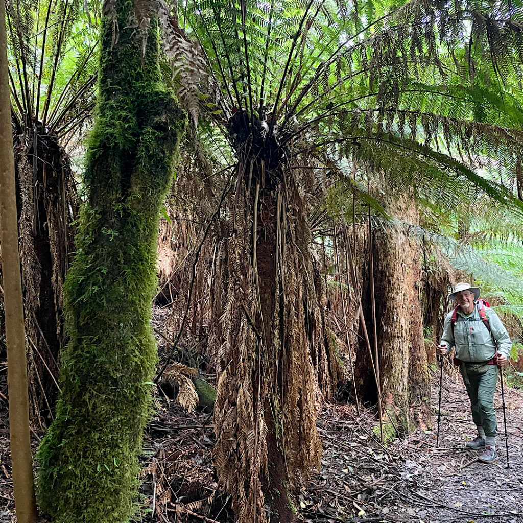
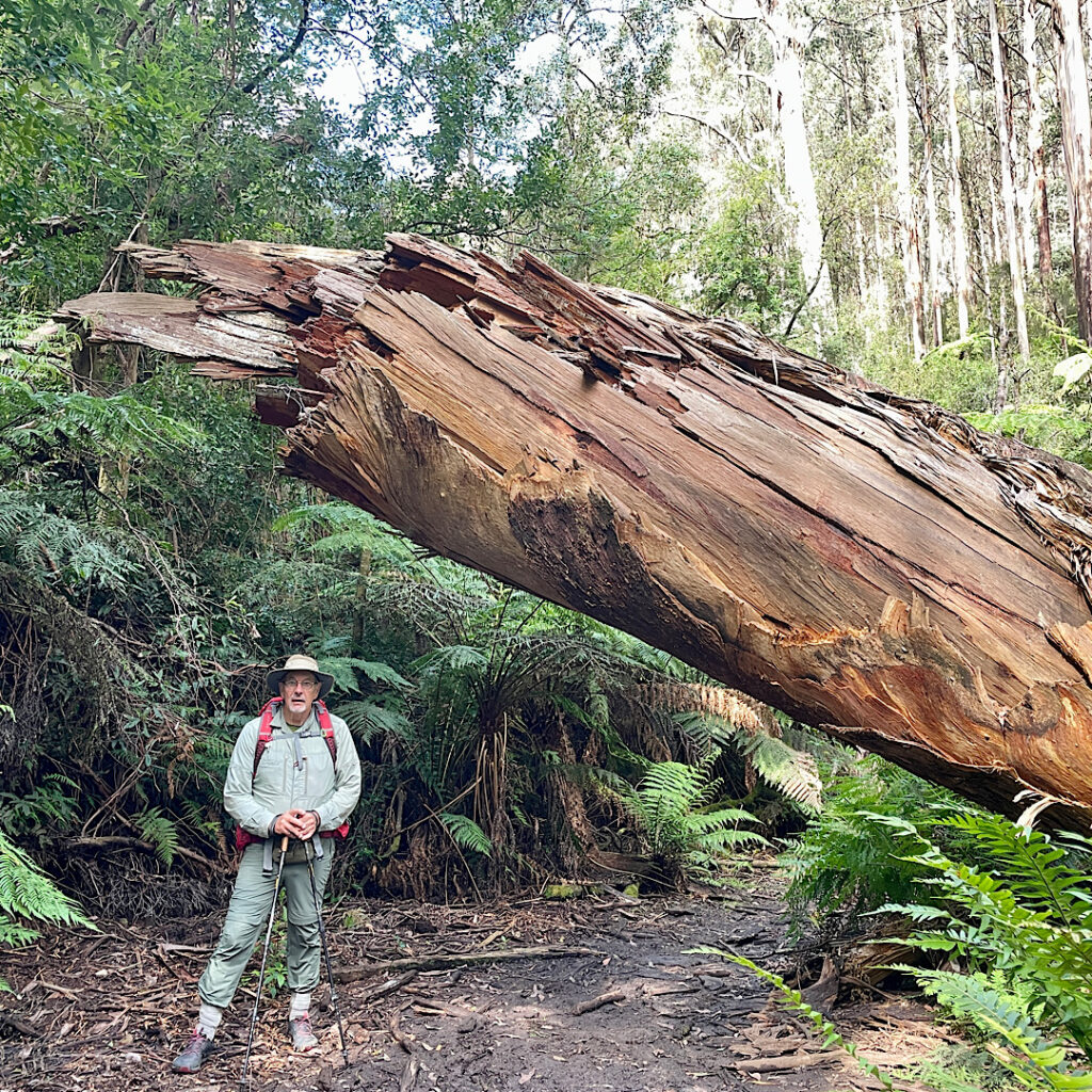
Australia Day, we followed the unsealed Murrindindi Road through State Forest tall trees looking for a good hike to do that wasn’t busy with long-weekend campers. Myrtle Gully Trail was the chosen one though it turned out to be in disrepair with many fallen trees across the track. Still it was just the hike we needed – 11km through the most glorious tall tree forest (lots of Myrtles and Soft Fern Trees), and what better activity to do on Australia Day than being out enjoying the beautiful Aussie bush.

Walking amongst the majestic Tree Ferns
I’m pleased we weren’t on the track when this came down!

Onward to Toolangi Recreation Reserve for two nights. 

Leaving Toolangi and the beautiful tall tree forests behind we descended into bushland, then cattle country then vineyards as far as the eye could see. Lunch was at Lilydale – thought it was a village but it may as well be a suburb of Melbourne. We skirted around Melbourne to stay the night at the Lang Lang Showgrounds. Grassy, quiet, lots of birds – that’s about it.

Monday, Tuesday 29 – 30th, Wednesday 31st

Long lunches, cocktails, a walk, and lots of chatter made for a very pleasant and relaxing time with Maree and Carl in Balnarring, Mornington Peninsula.

Thursday 1st February

The drive down the western side of Mornington Peninsula to Sorrento reminded us what a pretty area this is with so many things to do and places to explore. From Sorrento the car ferry took us to Queenscliff then it was a short drive on to Corio Bay in Geelong, the departure point for the Spirit of Tasmania. A drive down to see where we’d have to come first thing tomorrow morning to board the Spirit proved to be a good move! This evening’s Spirit was in dock getting ready to sail, so we stayed to watch it go, then spoke with some other RVers who told us they were staying (camping) in the queue overnight, all ready to go tomorrow morning. So, that’s what we did too! No stress for us tomorrow morning.

6.30am, just woke up and ready to board the Spirit of Tasmania