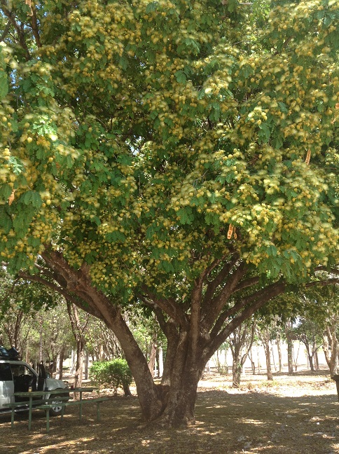
Homevale Station was a working cattle property before National Parks took it over. The area which is now Homevale National Park was formed 30 million years ago when a series of volcanic eruptions covered older basalt rocks with lava, creating hard granite formations. Over time the basalt eroded away leaving the spectacular cliffs seen today. The volcanos also produced gold deposits and fertile basalt soils which now support a diverse plant life.
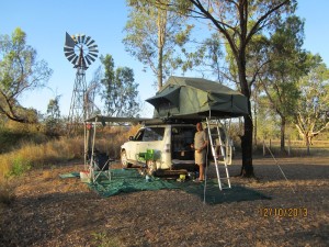
Beautiful location and there’s that windmill!
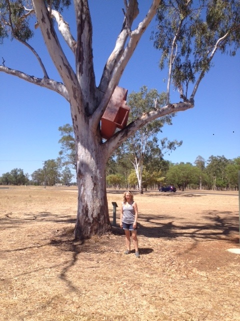
Awoke to the birds and the sound of the windmill! Hmm, yes, there’s a lovely old Southern Cross Windmill here which must have once pumped water up from the dam to the cattle troughs before it became a National park. It still works exceedingly well, just isn’t connected to anything. Anyway it’s not an annoying noise and is actually rather charming.
Off for a bushwalk.
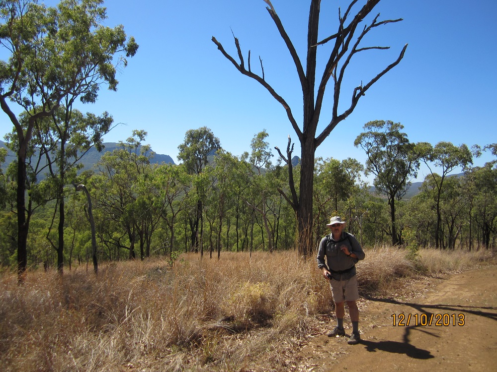
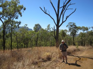
The Moonlight Dam Camp site is the second last stop on the Mackay Hinterland Great Walk. So we decided we’d walk the last leg of it today – across to Mt Britton. Mt Britton was a thriving township in 1883 as a result of goldmining. It had a population of 1500 and all the town amenities you think would go with a town that size. However by 1890 the gold was gone and the town had become a ghost town. The walk from Moonlight Dam is 6K, which of course is 12K return – a good distance! I saw billboards promoting Mt Britton on the drive here – a restored gold mining town. Great – we’d walk there, have an icecream and coffee and maybe some other yummy treats at the cafe then head back to camp! The walk was mostly really lovely along a graded track with gorgeous gums and views to the Diamond Ranges and Peaks – a few very steep hills, and not a lot a shade, but a cooling breeze.
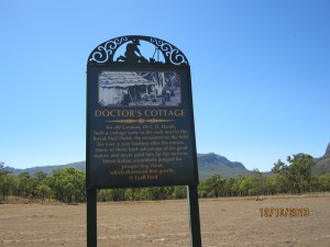
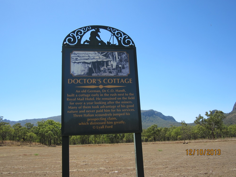
Mt Britton. Only the road layout remains. Signs indicate what used to stand at each place along the roads.
Hmmm – I soon learnt that a ghost town means just that – no people, and definitely no cafe! Despite being very disappointed about the icecream, the town site was very interesting.No buildings remained, but the streets were laid out as they were and through amazing good fortune one of the first inhabitants in 1881 was a photographer, so there’s a very good photographic display of what was at each spot along the roads. Well done Nebo Shire! Drank our water and ate our hikers nuts (disappointing) and walked back to camp.
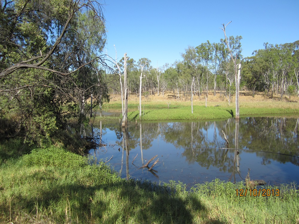
We’re camped right on the edge of the dam – it’s about a 4 metre bank down to the waters edge. The dam is small – maybe 16 metres across at the widest and 30 metres long. Reeds and fallen trees and water plants line the edges, and the creek continues at either end of it. A pretty little dam. The usual water birds are here and just on dusk we saw an Azure Kingfisher family fishing.
Once again a delightful camp where we didn’t see another soul the whole time we were here.
To see our photos from today click here.
Watched a family of Azure Kingfishers fishing from that fallen branch.