Monday 26th October: Airlie to Cid Harbour
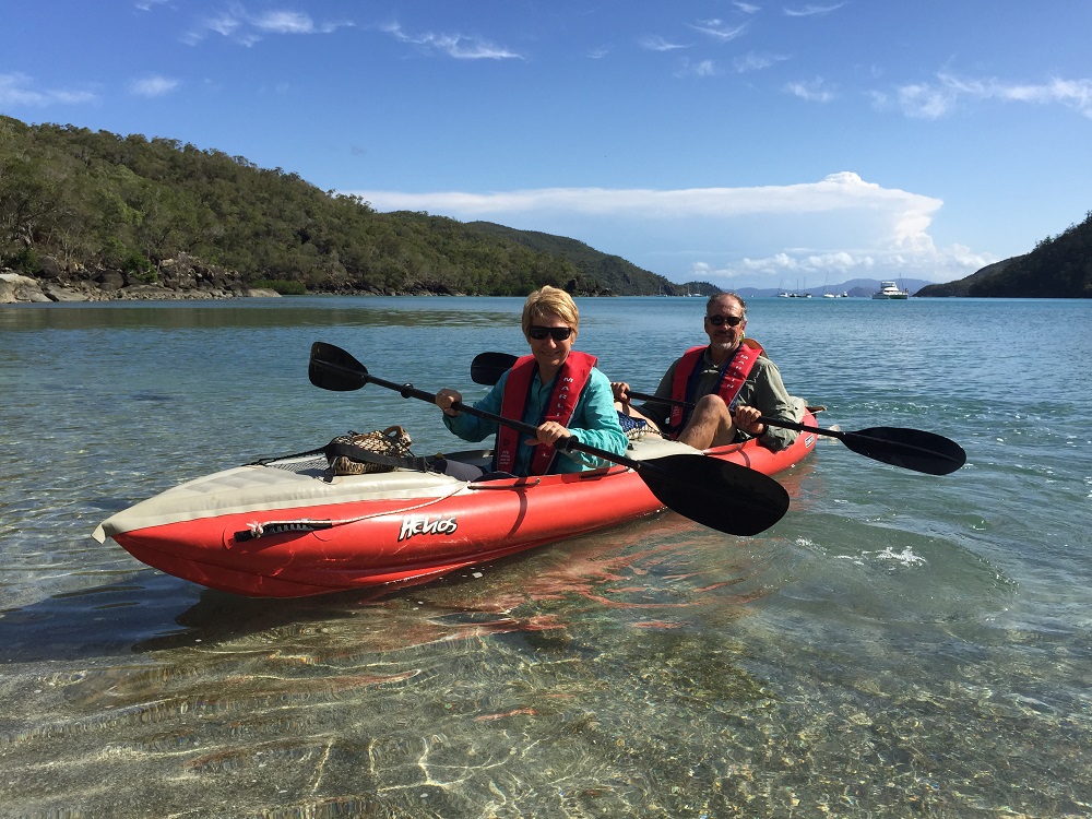
Borrowed the marina courtesy car again to take the tender to repairers this morning. We’ll pick it up on our return in a week or so. In the meantime we can use the kayak to get to shore.
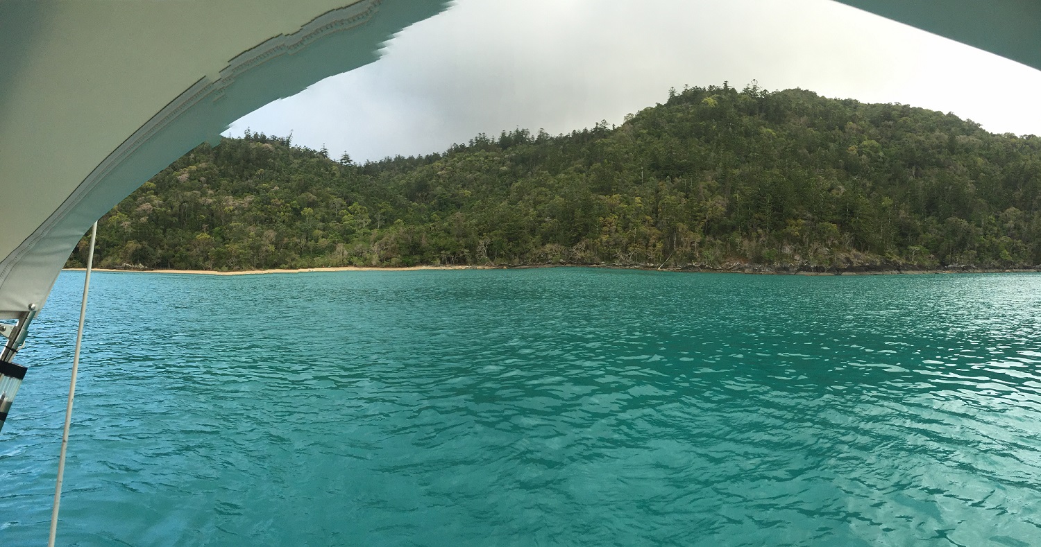
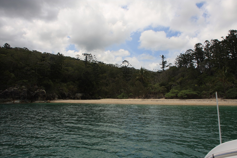
Left Abell Point marina at 1030 our destination Cid Harbour via North Molle Island. A very light easterly wind saw us motoring until we passed the Molle group, then motor sailing most of the way to Cid to counter the very strong north flooding tide. Bad planning – we shouldn’t have left until the tide was turning!
Enjoyed a lovely couple of hours this evening sitting in the cockpit listening to Dean Martin’s beautiful voice floating over the water from a neighbouring yacht.
Thanks to our wonderful National Parks some of the islands are exactly the same today as when Captain Cook first saw them, and this could be him now.
Tuesday
Cid Harbour to Waite Bay, Hazelwood Island
Phew! Today was a big day.
The several narrow passages between islands around the Whitsundays are notorious for striking fear into the mariner who would dare to traverse them with a contrary tide and wind. Fitzalan Pass on the northern side of Hamilton is one such passage. We left our anchorage at 7am anticipating a two hour sail to reach the pass at slack tide.
If we’ve learnt nothing else sailing it’s that plans rarely work out as anticipated. No wind this morning but we caught the tidal stream of the flooding tide. With the outboard barely above idle we flew down Hunt Passage and around the corner towards the pass at up to 7kn at times, arriving an hour earlier than planned. Fortunately the pass was mellow as what little wind there was was going with the tide.
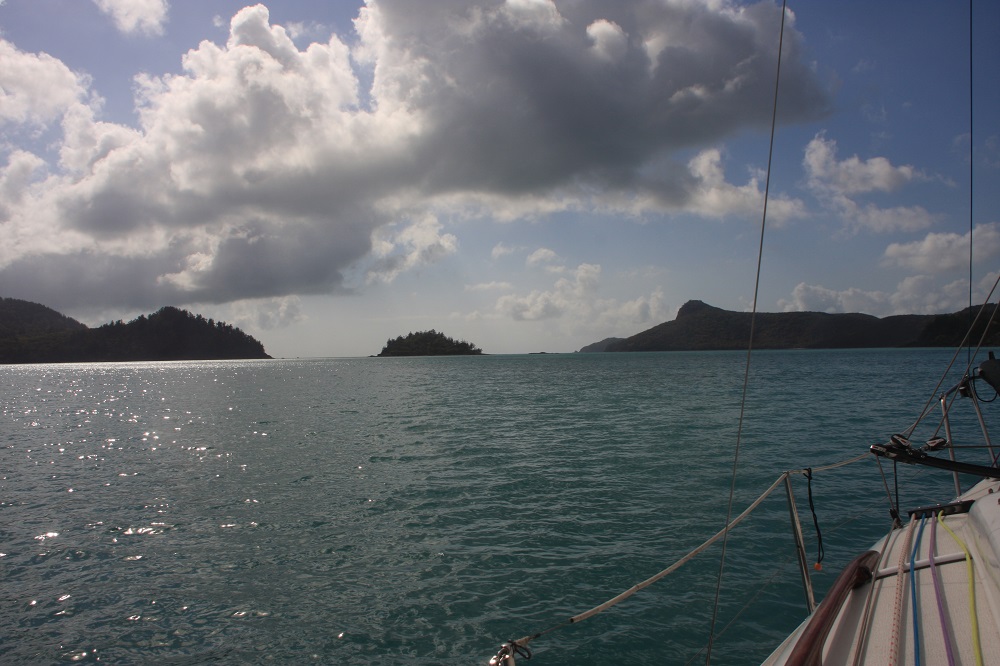
Fitzalan Pass. One of the many narrow passages that has a bad reputation. Low rocky outcrops extend for quite a distance from the little island. That’s Hamilton on the right.
We variously motored, sailed and motor-sailed on to Hazelwood Island where we initially anchored for lunch near Lupton Island. This anchorage is deep and surrounded by coral. The trip into the beach without a tender would be a long way and I didn’t want to swim from the boat in such deep water. We upanchored, very unhappily bringing up a piece of staghorn coral the anchor had broken off and moved across Waite Bay to anchor on Hazelwood Island in a couple of metres of crystal clear water over lovely white sand. Happy now.
Hmmm – ideal opportunity to clean the hull! As the tide dropped we were able to walk around Top Shelf scrubbing off the baby barnacles, slimy growth and even feathery pretty growth. Steve swam under the boat scrubbing the very underneath. It was hard work here for a couple of hours. We were shocked at how much growth was on her. We won’t leave her that long again. We should fair fly through the water now with all that growth gone.
It’s a full moon tonight. We’re the only ones in Waite Bay – I’m sure this is heaven.
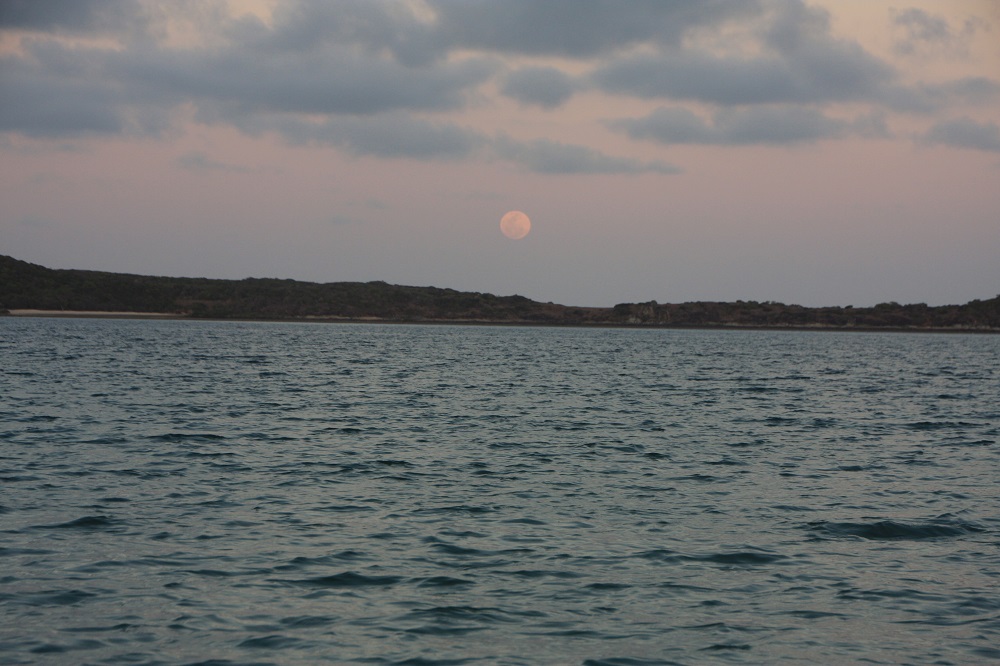
Once more we get to see a full moon rising on this trip – our 3rd so far. This time it’s over Lupton Island and we’re anchored in Waite Bay on Hazelwood Island. No one else here; an idyllic tropical experience.
Wednesday – Thursday
We had a lovely gentle sail over to Chance Bay on the southern side of Whitsunday Island. After the last few days of predominantly motoring it was good to be able to enjoy the peace of sailing.
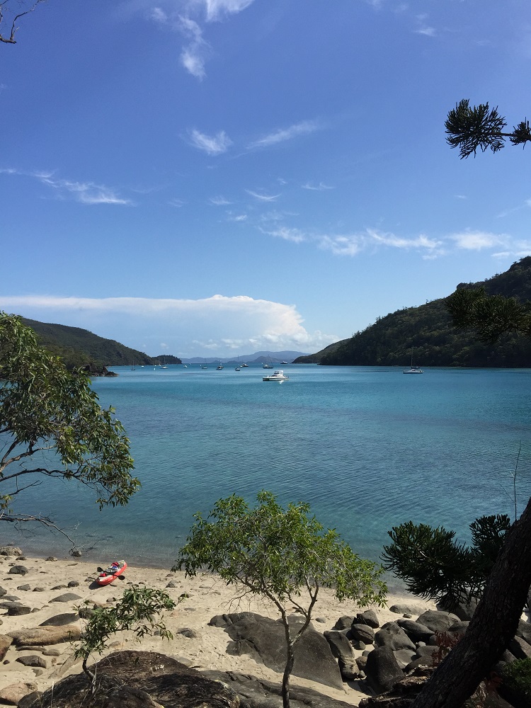
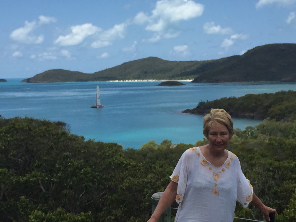
Chance Bay is a pretty bay with two lovely white sandy beaches bordered with low growing trees, pandanus palms and crinum lilies which are flowering now. The fringing reef made anchoring challenging until another yacht in the perfect spot left – we quickly took their place.
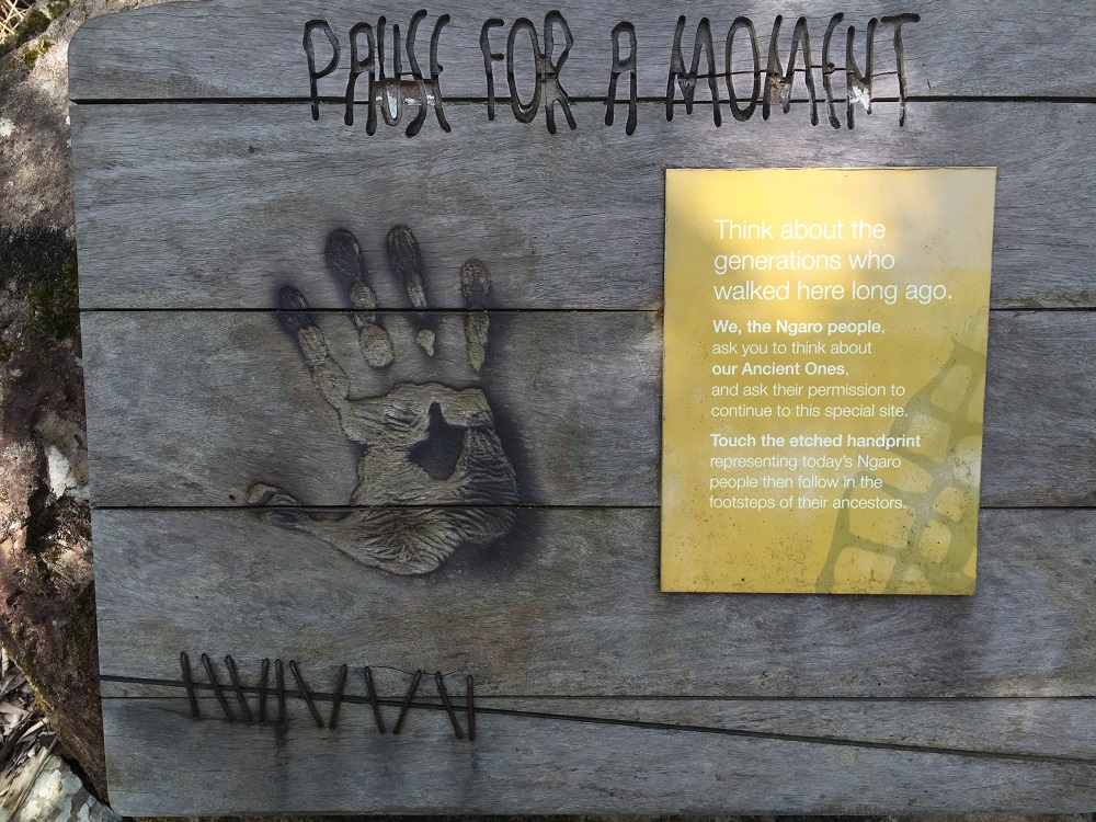
Steve pumped up the kayak, we paddled ashore and walked another leg of the Ngaro Sea Trail. This 8.5km return walk took us up over the hill, through eucalypts, acacias, large bloodwood trees and grass trees to Whitehaven Beach.
From the lookout on our walk. At the bottom of the cliff is Whitehaven Beach. In the distance is Chalkies Beach on Hazelwood Island.
We enjoyed a well-deserved swim and chill on the beach watching the comings and goings of the day-tripper yachts, giant catamarans, super-powered rubber ducks, sea planes and huge private motor launches before making our way back to our quiet beach.
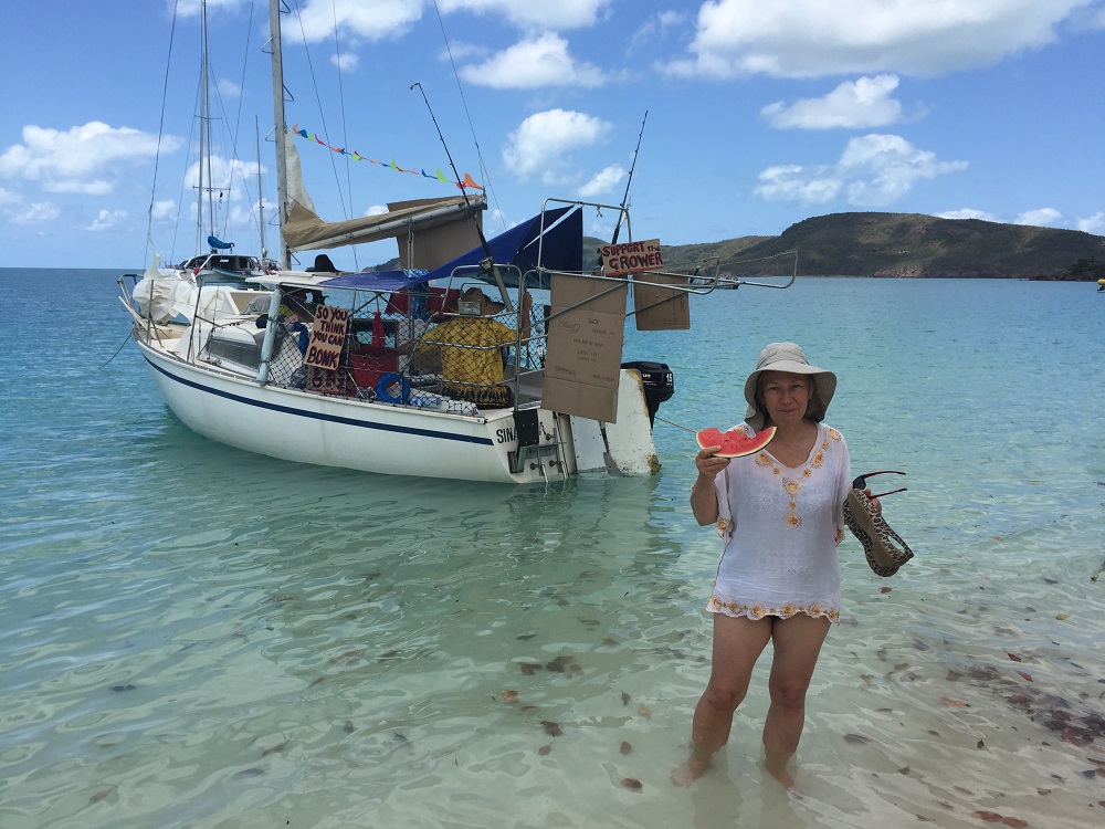
These guys give a whole new perspective to Street Food. On Whitehaven Beach.
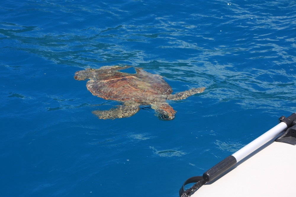
Back at Chance Bay we snorkelled for a while, but other than rocks covered with giant oysters and a few schools of fish, we didn’t see much. It’s supposed to be good snorkelling on the other side of our bay – next time.
Friday
Another perfect day of sailing today. Easterlies at 5 -15kn took us firstly over to Torres Herald Beach in Turtle Bay. We snuck in over the rocks to shore, not quite drying out, lunched and relaxed for a couple of hours. I got a meal prepared for tonight and put it into the DreamPot to cook. This beach is only small but could be the poster beach for any idyllic tropical beach you care to dream about.
Torres Herald Beach in Turtle Bay. This was a delightful luncheon spot for us. We arrived on a rising tide and were able to take Top Shelf right in to shore.
With strong winds forecast for the weekend we sailed on back to Cid Harbour – again a great sail just sitting back watching the deep turquoise waters of the islands as they disappeared behind us.
We anchored close in to shore just to the south of Sawmill Beach and enjoyed our perfectly cooked silverside and vegies.
Saturday: Cid Harbour
Rained on and off all day today, accompanied by strong gusty wind. We watched movies and read our books.
Sunday: Cid Harbour
Today we climbed Whitsunday Peak. This is one of the highest peaks in the Whitsundays at 450-ish meters and quite challenging. Commencing at Sawmill Beach we followed the dry creek bed initially. It would be spectacular to be here to see it flowing – particularly the waterfalls over some of the huge boulders. The island is heavily wooded with hoop pines and eucalypts which kept us shaded and cool. Leaving the creek the ascent is steep with many zigzags and countless stone steps. A few pauses were needed along the way.
The views from the top were spectacular! We spent about an hour at the top just absorbing the beauty of this magical part of the world. How lucky are we!! It was fun to see places we’d anchored and plan where we’d go next. From up there it looked reasonably close belying the hours of sailing it takes to reach each destination.
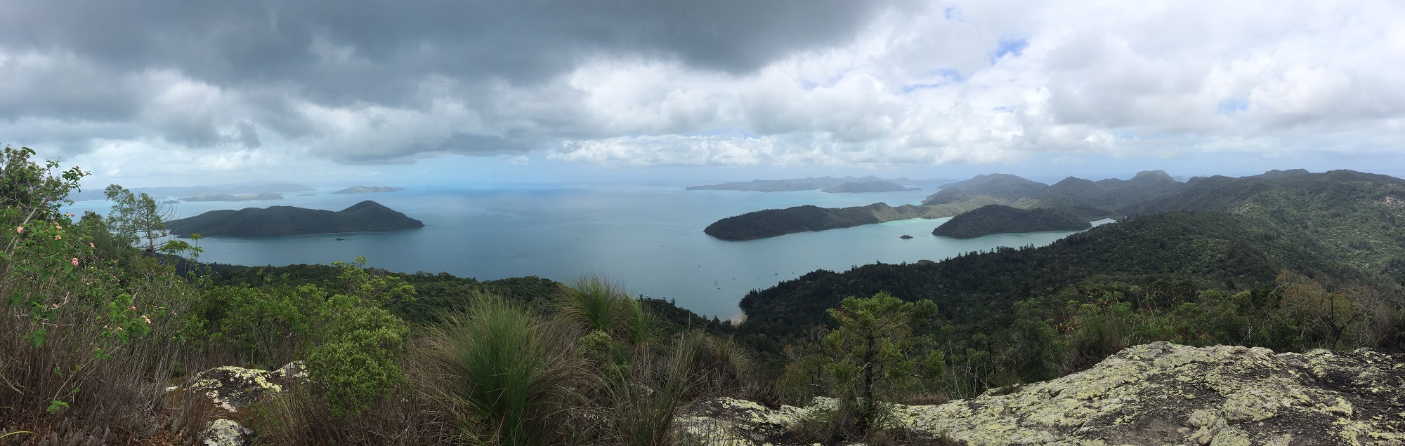
The view north from Whitsunday Peak. Cid Island on the left, Cid Harbour the protected area between the island and the headland jutting out from the right.
Once back at sea level we washed the sweat off with a swim – don’t know the logic behind that, but it felt good, and paddled the kayak back to Top Shelf.
Monday: Cid Harbour
Today was kayaking day. The inlet looked so enticing from our sky-high view yesterday that we decided to explore it in the kayak. It was a good paddle following the coastline around. In the photograph you’ll see a tiny island in the middle. It has a lovely sandy beach, rocky headland covered in oysters, all sorts of plants, including orchids, and as it doesn’t appear to be named we’ve claimed it for ourselves. Back to the boat another swim and relax after an enjoyable couple of hours paddling.
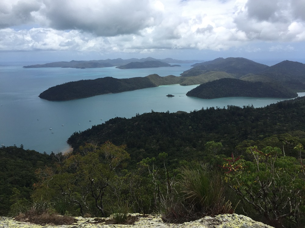
Dugong Inlet from Whitsunday Peak. Sawmill Beach to the bottom left. Top Shelf is anchored just out of the picture on the left.
Tuesday: Cid Harbour to Airlie Beach
Back to Airlie today to reprovision and pick up our tender. This time we planned the trip to perfection and had a lovely sail, despite the winds being south-westerly when the forecast was for north-easterlies. We’re nothing if not adaptable.
Got a big fright coming into the marina. Our allocated berth was amongst the catamarans. As we were about to turn the corner into the narrow finger to our spot a catamaran was coming out taking up the whole ‘road’. Steve handled it very well with a little forward and backwards, but needed a good stiff drink once we’d tied up.
Another rather impressive boat in the marina at the moment is Hemisphere, the largest sailing catamaran in the world. It’s doing charters up here for the rich and famous. At $360,000 a week we’re trying to get a group together for a trip – we’ll need around 3,600 friends I think – pity it only sleeps 10.

This is the largest catamaran in the world. To get a perspective of how big it is Denise is standing on the pontoon beside it.
Hemisphere leaves Airlie. For an indication of size, see the catamaran behind her – that’s an average-sized cruising catamaran.
For more photos from this week in our travels. CLICK HERE