15th June, 2015
It rained last night, at times quite heavily. We were snug and dry in the rooftop tent, but it meant we had a wet tent to pack up – and the ground was muddy! Anyway after brekkie we packed up, went for another walk along the beach, then drove back a couple of K to do the Marrja Botanical walk.
When you’re up this way be sure you do this excellent walk.
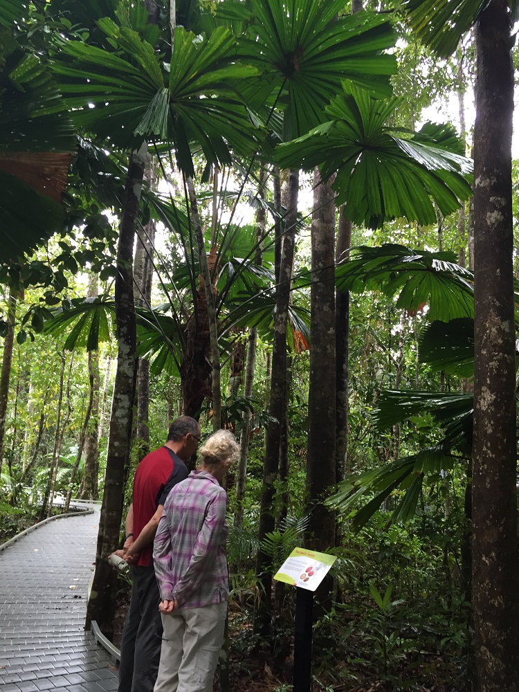
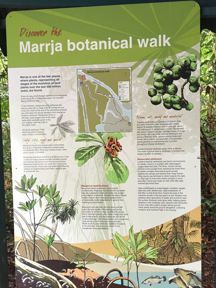
Sheltered from above by the fan palm. Excellent boardwalk with lots of informational signage.
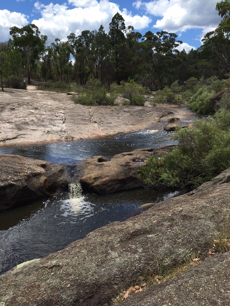
This was truly fascinating as it took us from rainforest, across Oliver Creek and immediately we were in mangroves. I didn’t realise there were so many different types of mangrove. The explanatory signs along the boardwalk made it a very interesting walk. Well done National Parks!
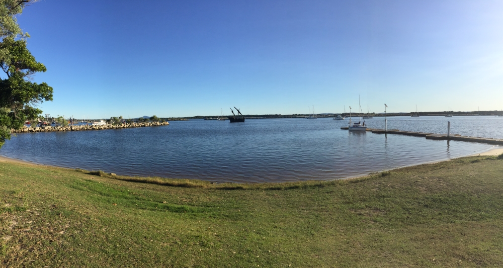
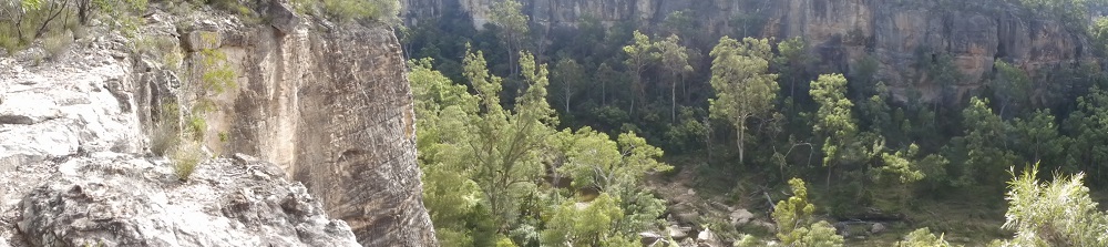
On to Cape Tribulation, where the rainforest meets the sea – stunning scenery.
The Bloomfield Track begins just north of Cape Trib. The road follows an ancient aboriginal walking track and has quite a chequered history as environmentalists fought to have its construction stopped for fear of the effect it would have on the coral reef just off the coast. Nevertheless it went ahead and became infamous as a slippery dirt road with very steep ascents, descents and creek crossings – a challenge for 4WD enthusiasts. So it was with some trepidation that we began this section.
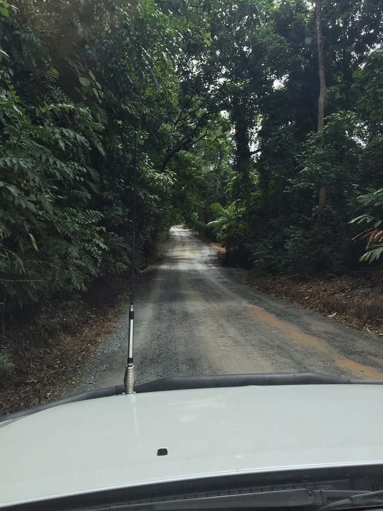
The beginning of the Bloomfield Track is the beginning of many kilometers of dirt roads over the next few weeks.
It wasn’t long before the tyre pressures were reduced and the car put into low lock. We’d timed the creek crossing for low tide when the creek would be lowest but with a firm rocky bottom it wasn’t too much of a challenge. No argument, the ascents and descents were very steep, but the worst ones had been concreted which helped. It took some expertise to drive it, but I reckon we’ve been on worse.
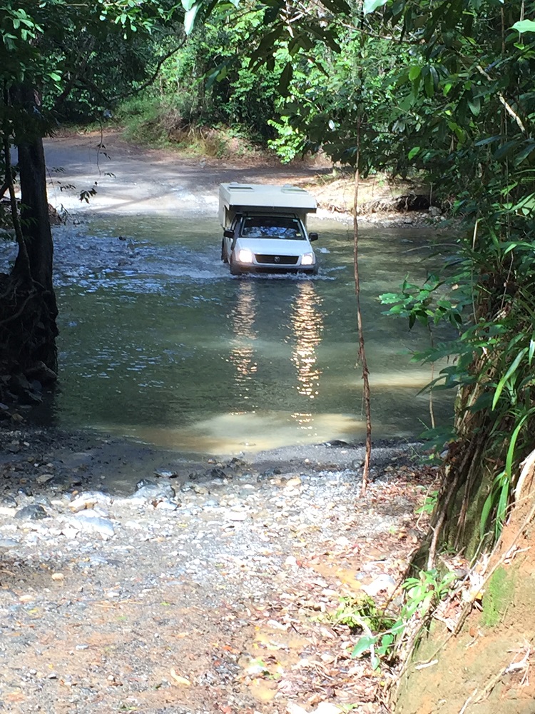
It wasn’t long before we came to our first river crossing; the first of many.
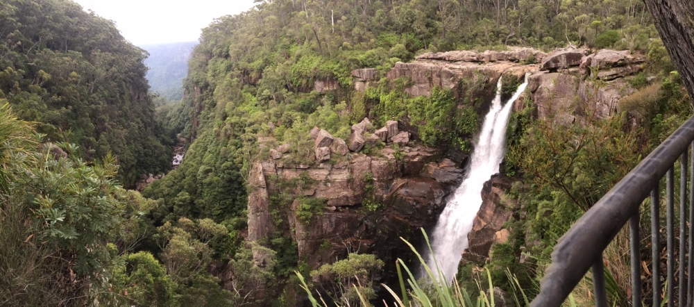
The bitumen began at Wujal Wujal where we stopped to look in the community art gallery and to have some lunch. A diversion to the Bloomfield Falls was well worth it – thunderous falls into a big, wide river – very picturesque.
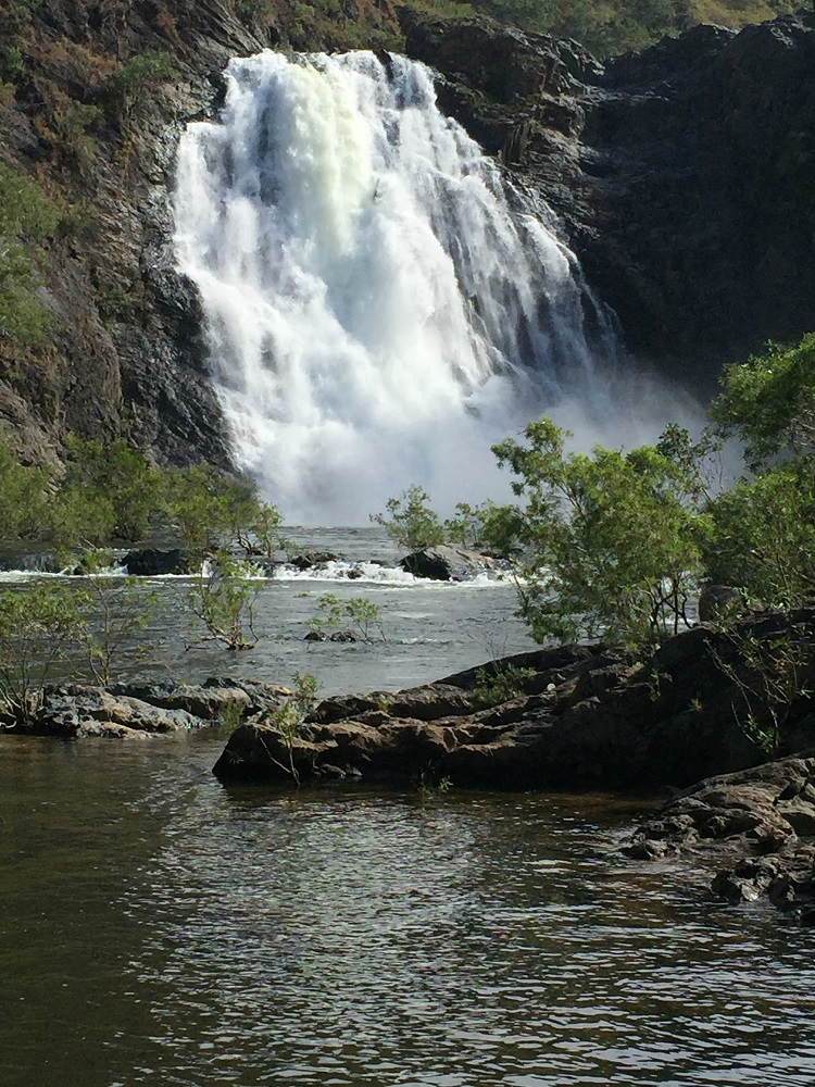
The Bloomfield Falls – breathtaking! I can’t imagine what they’d be like in the wet season.
Not much further on we arrived at our destination for the night – The Lions Den Hotel – an historic and quite quirky hotel that has camping behind it. Dinner of barramundi and chips in the pub tonight.
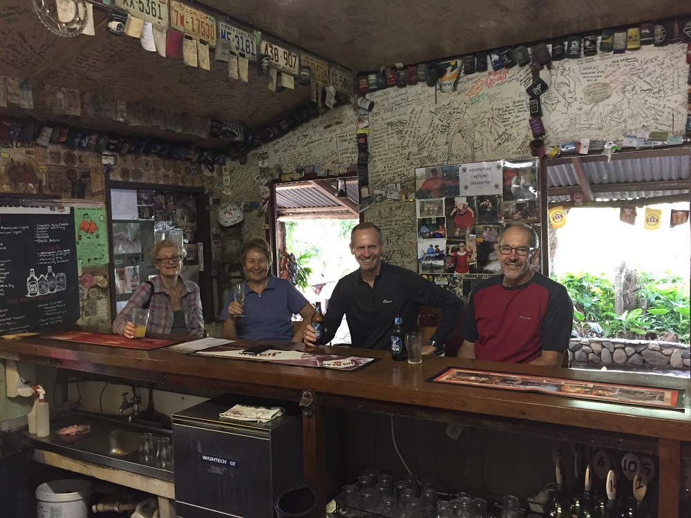
Enjoying a well-earnt drink at The Lions Den bar.
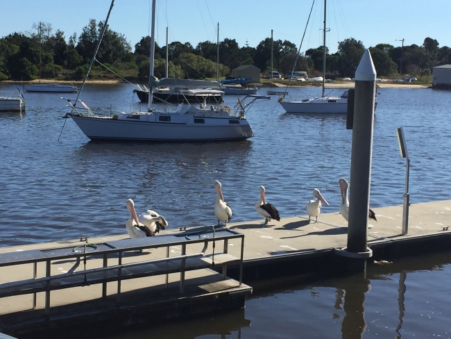
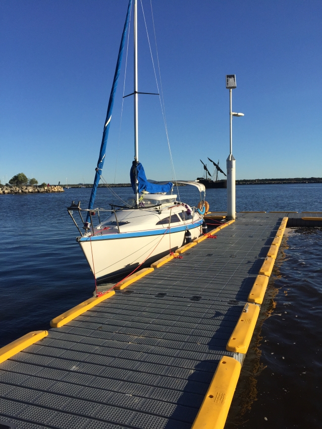
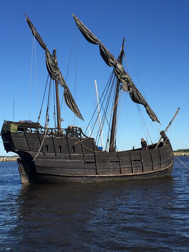
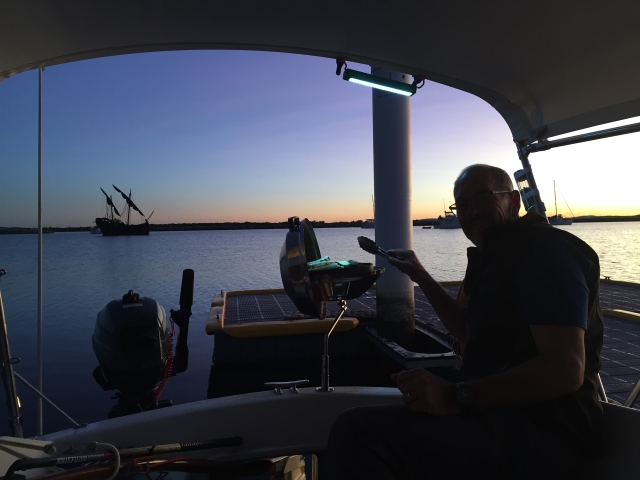
To see other photos from our lovely drive today CLICK HERE.